Skip to primary content

MetchosinCoastal

The Coastline of the Metchosin District, Southern Vancouver Island

MetchosinCoastal

Main menu

  • Home Page
  • The MetchosinCoastal Blog
  • Environment
    • Coastal Metchosin in 8 sections
    • Slide Show of Metchosin Coastine
    • Gallery of the Metchosin Shore from Albert Head to Beecher Bay
    • Geology
    • Natural Capital
      • Ecosystem Services
  • Biodiversity
    • Marine Mammals of Coastal Metchosin
    • Birds of Coastal Metchosin
      • Seabird Fall Census on Taylor Beach
    • Marine Plants
    • Coastal Terrestrial Plants in Metchosin.
    • Underwater
    • Taxonomy and Species Gallery of Coastal Metchosin
  • Coastal Development Issues
    • Human Impact on Shorelines
    • Development Permit areas
    • Sea walls
  • Coastal Jurisdiction
  • Ocean Sustainability
    • Ecosystems
    • Marine Issues
    • Pollution
    • Commercial Marine Harvest
    • Climate Change
    • Curriculum
    • Ocean Chemistry
  • Oil Spill Risk
  • Publications
    • Metchosin District Reports
  • Contact
    • Copyright Information

A: Becher Bay to Whirl Bay


Becher bay to Whirl Bay

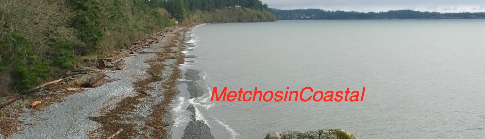
link to : Metchosinmarine-Becher Bay

link to : Anthropogenic Impact- Becher Bay

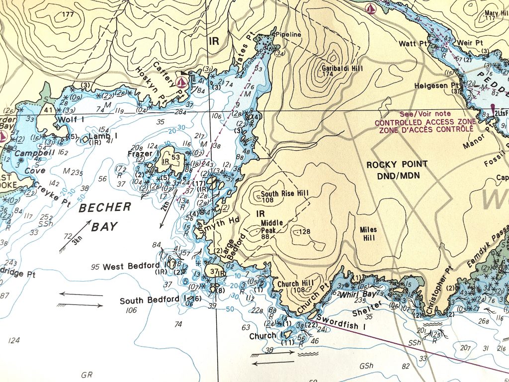
link to From Church Island to Christopher Point

link to:Link to the file on the anthropogenic effects on the shoreline from Church Island to- Whirl bay- Christopher point

link to Bentinck Island and Rocky Point

https://metchosinmarine.ca/2bentinck/2bentinck.htm

link to the Anthropogenic effects from Bentinck Island to Rocky Point

The MetchosinCoastal website was originally created to represent the contiguous ecosystems of the Race Rocks Ecological Reserve/Marine Protected Area and for the use of the Green Blue Spaces sub committee of the Metchosin Environmental Advisory Select Committee (MEASC ) Copyright: G.Fletcher 2013 ( garryf ( use at) gmail.com)
Copyright Information Proudly powered by WordPress