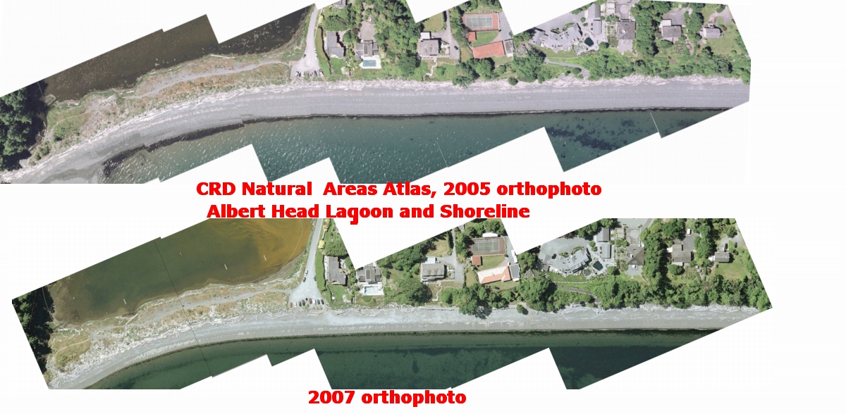
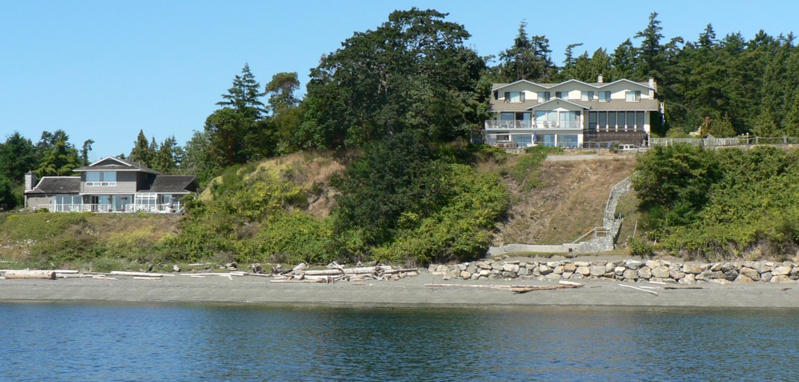
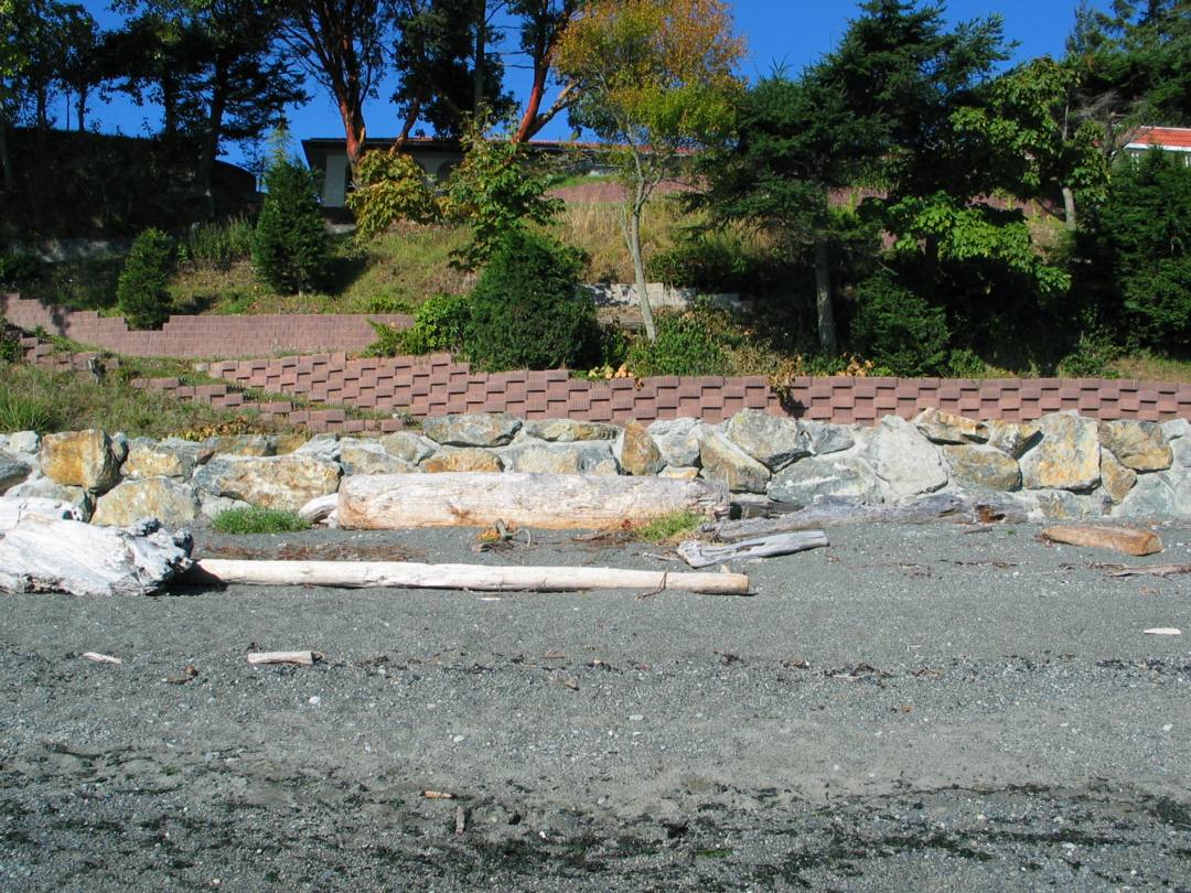
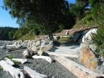
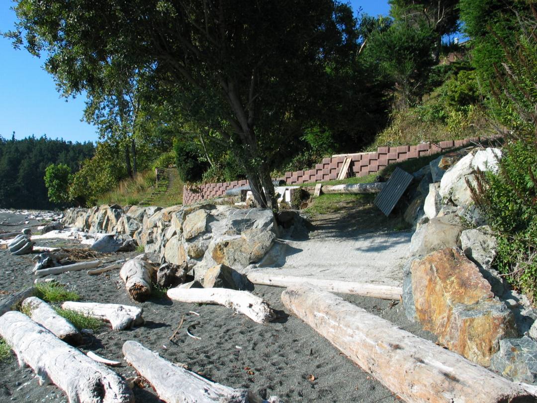
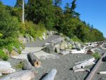
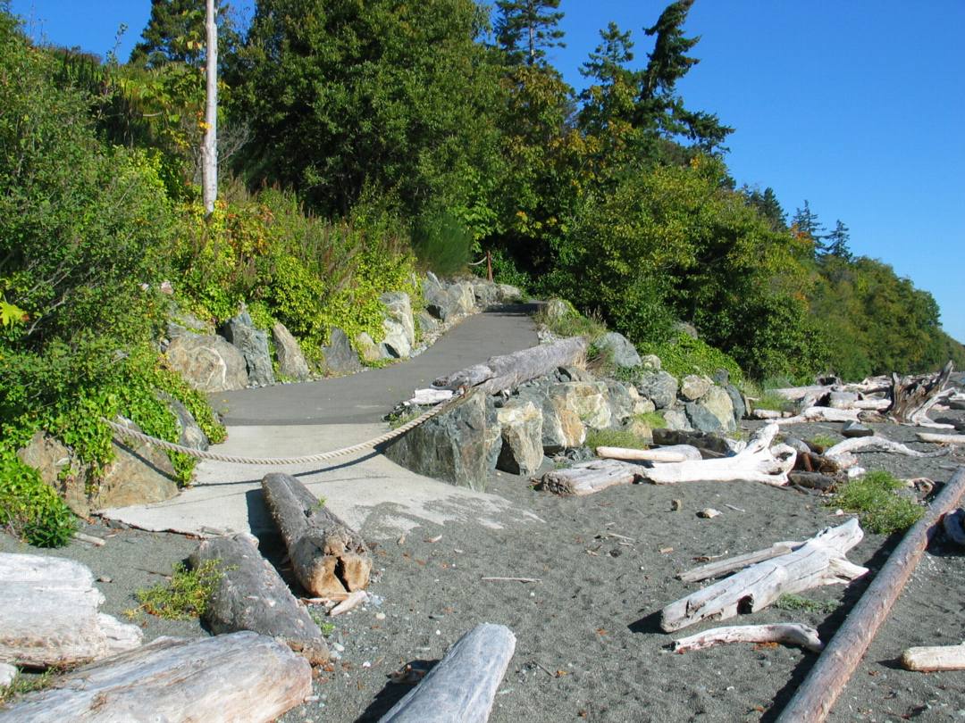
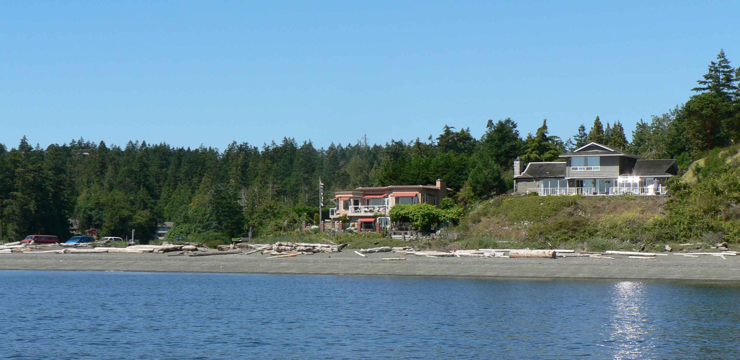
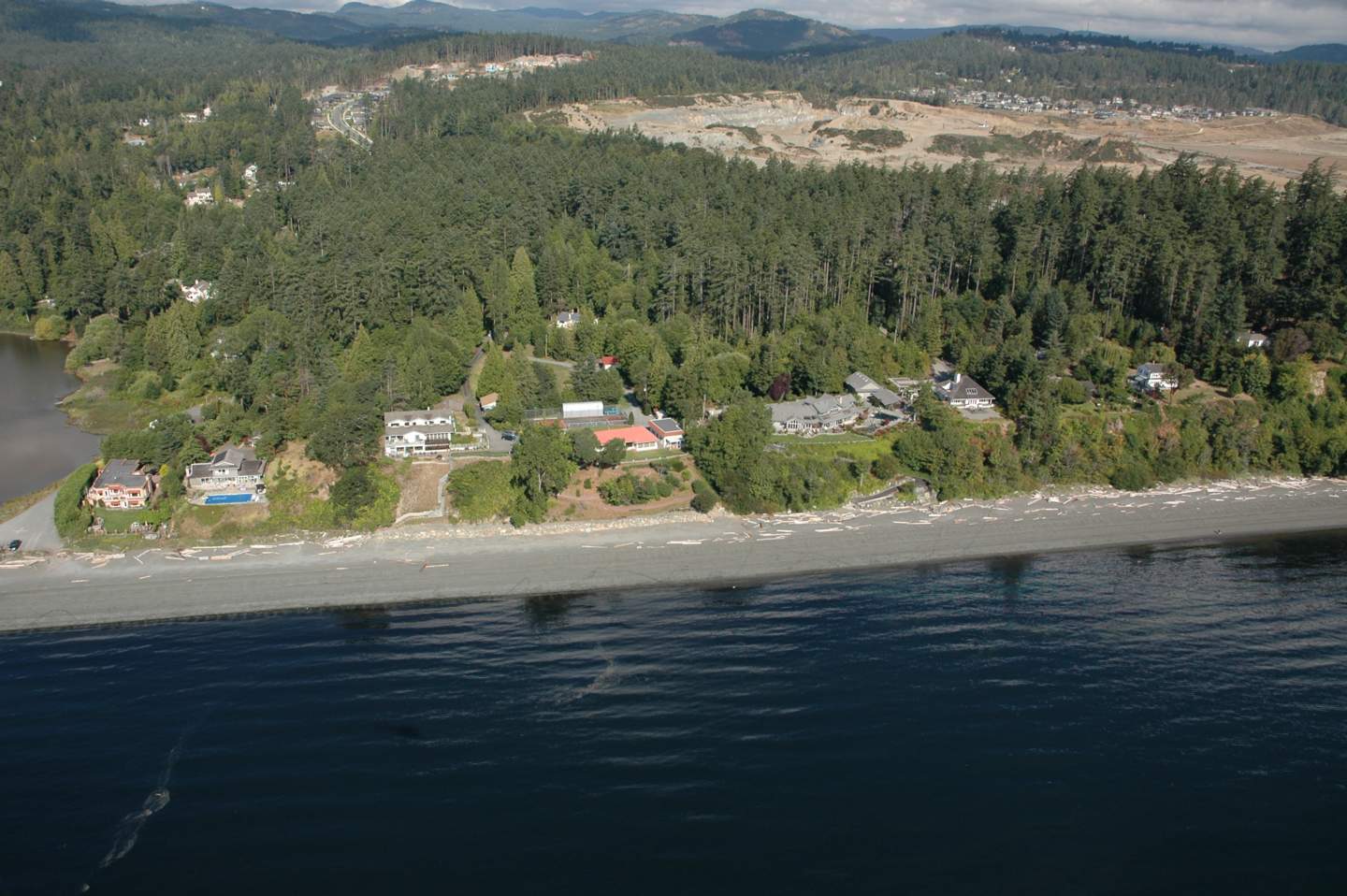
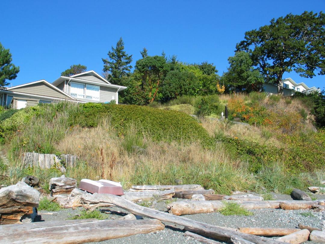
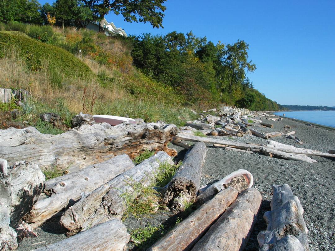
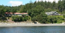
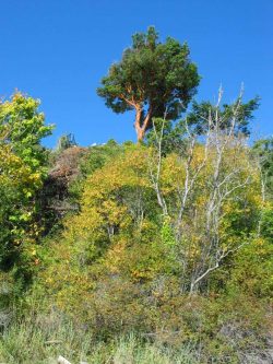
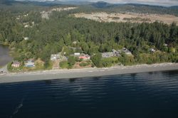
The two panoramas of the beach North of Albert Head were taken two years apart. These pictures demonstrate the incremental intrusion that happens in coastal areas when people are not sensitive to coastal ecosystems and coastal energy dynamics. The most stable shorelines which are resistant to erosion, are those which have an unconsolidated berm of sand, pebbles, rocks and logs, and a vegetated backshore area, with sea grasses and other plants adapted with long and intertwined roots which anchor the sand. Natural areas have evolved through thousands of years and are able to absorb the impact of storms, as well as providing essential habitat for invertebrates and fish.
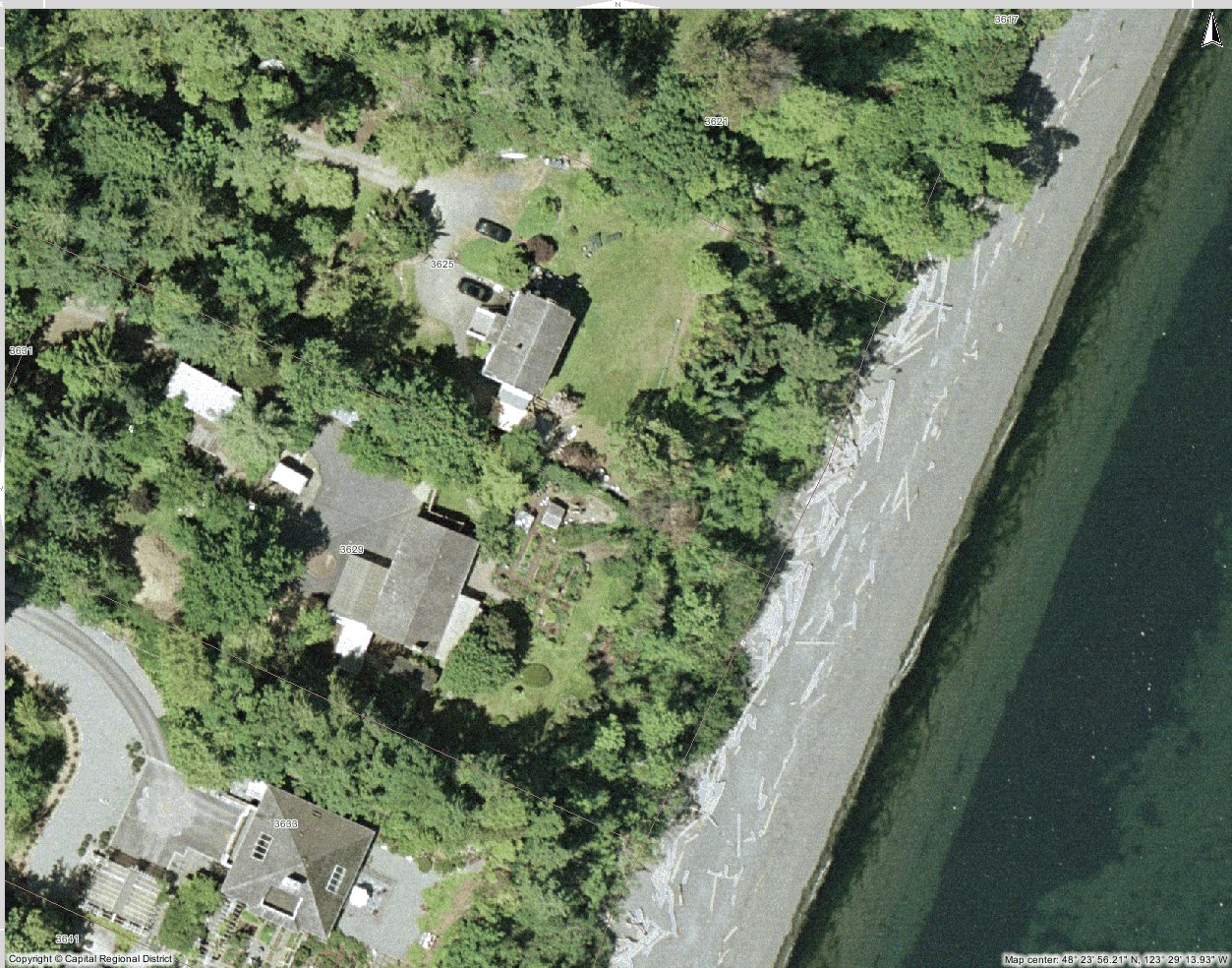
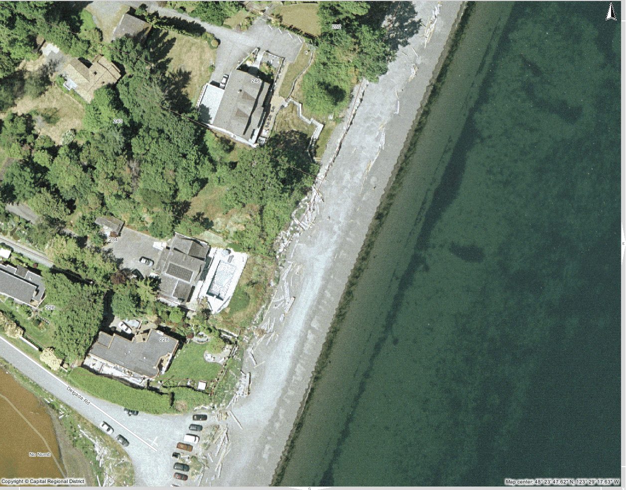
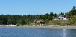
Clicking on the images above reveal more detail of 5 properties along the shoreline where modifications to the shoreline have been made.
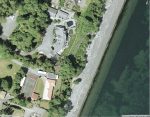
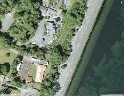
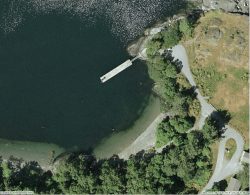
Aerial Maps Courtesy of the CRD NATURAL AREAS ATLAS
-
- 2007: Private property is supposed to extend only to the high water line. Here that rule may have been breached.

-
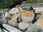
- The large rip rap rocks have been concreted, forming an immovable barrier in heavy storms, and it will probably result in scouring of the beach accretional material, and eventual undercutting and collapse of the structure

-
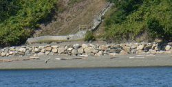
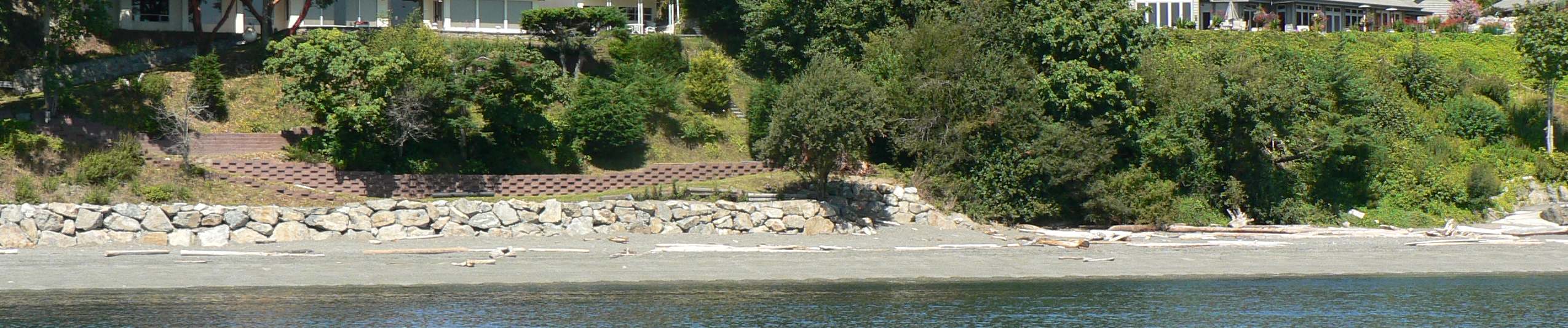
- A double problem here: Complete removal of cliff vegetation and then extensive intrusion into the intertidal area. The slumping that caused the vegetation removal was probably aided by impervious surfaces above with the consequent addition of large quantities of run-off which destabilized the soil.
-

- The contrast of the undisturbed beach on the left with the sea wall on the right may eventually provide a useful test of what happens in an extreme storm
-
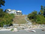
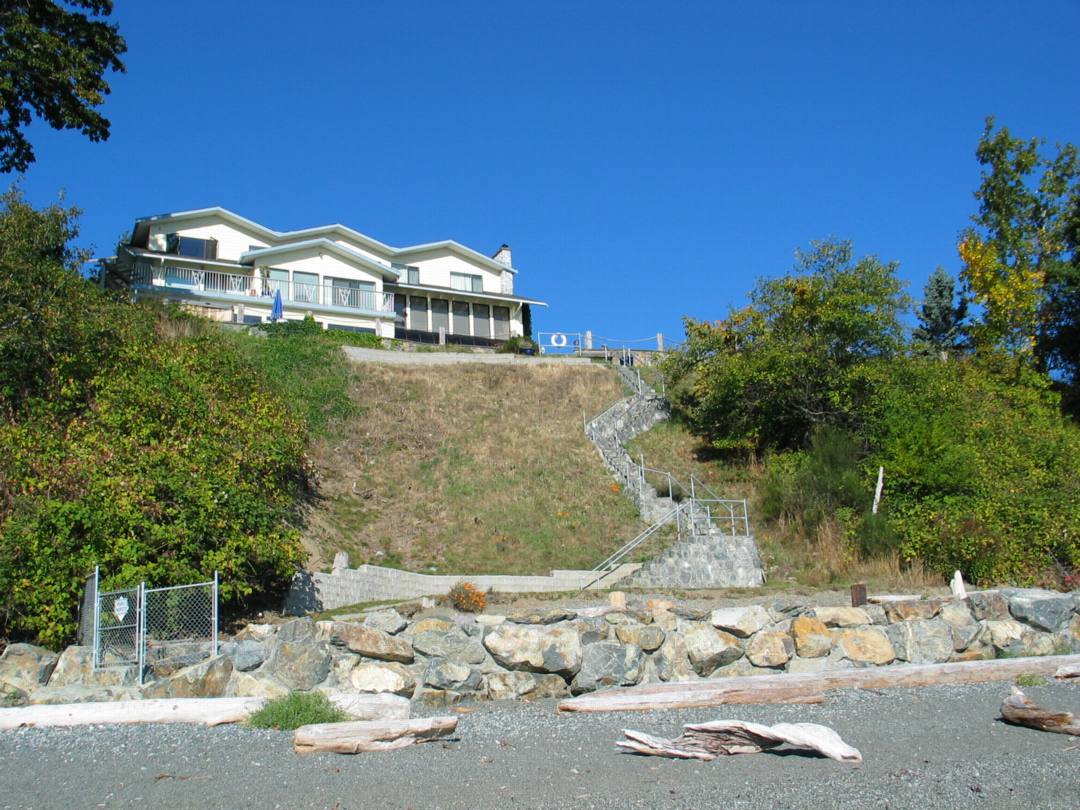
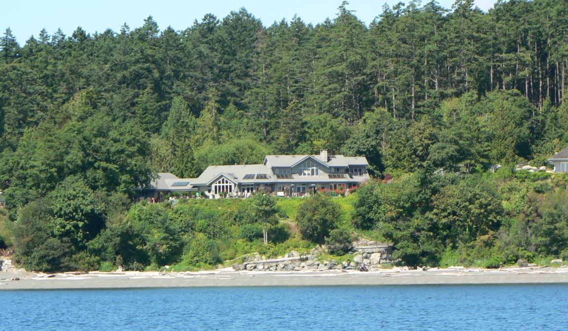
- An extensive sea wall and shore modification as well as vegetation removal has impacted on the shoreline habitat in these areas.-fall 2007

-

- The contrast of the undisturbed beach on the left with the sea wall on the right may eventually provide a useful test of what happens in an extreme storm.

-
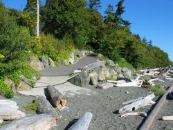
- Further north on the beach, habitat modification which could result in serious erosion in a storm.

-

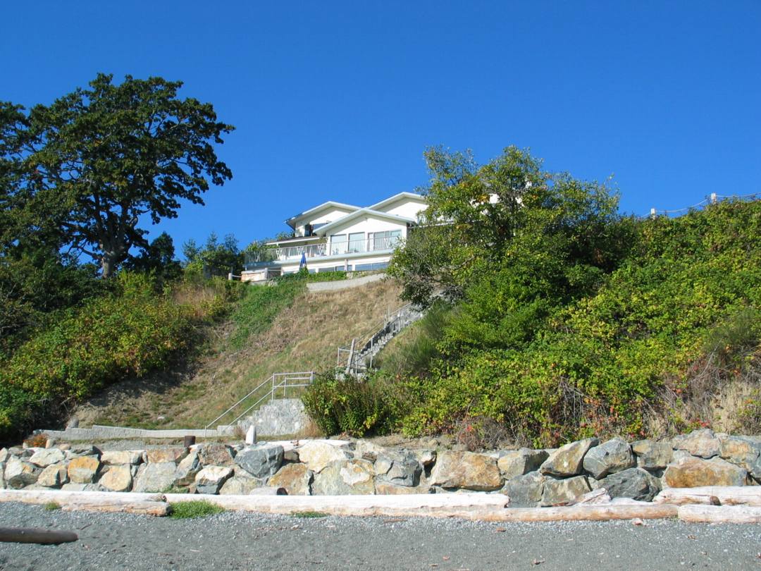
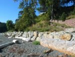
- This sea wall is extensive and is built entirely on crown land of the shore.
-
- A concrete lip is built right on the top of the sand. Engineered disaster!
-
- A neighboring wall is not extensive and is made of unconsolidated riprap, but the concrete edge on the sand could be a problem.
-

- Sea wall of unconsolidated riprap.
-

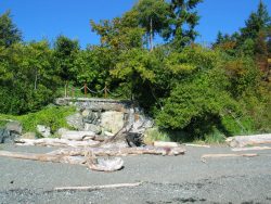
- A good start at cliff deterioration. Vegetation removal and dumping over the bank at the top.

-

- The images above are provided as close-up sections where sea walls have been built on the supratidal zone.
-
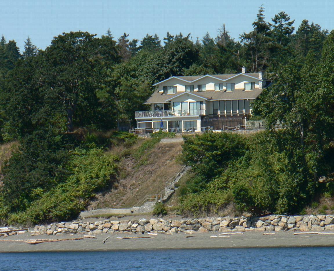
- first two houses by the parking lot
-

- The first two residences by the parking lot, with minimal intertidal intrusion.
-
- Natural Beach vegetation must be preserved to afford the best protection from erosion in extreme storms.
-

- Relatively undisturbed section of the beach remains at the foot of the first properties by the parking lot .
-
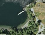
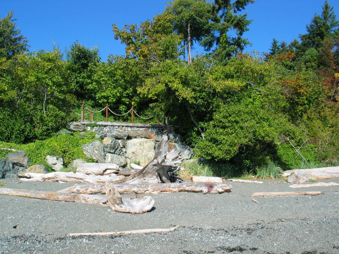
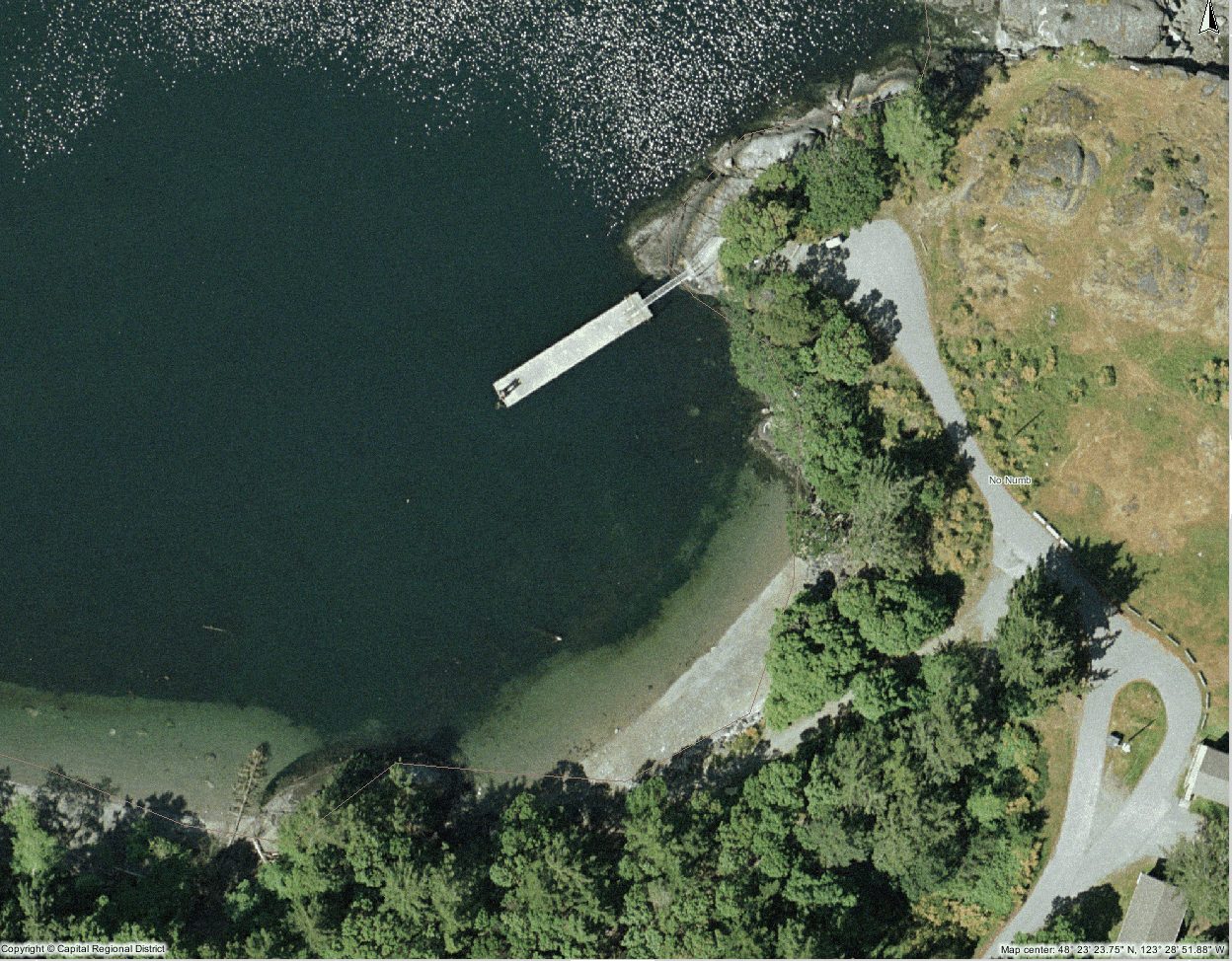
- This dock on the north side of Albert Head has minimal impact itself, but boats docking will contribute hydrocarbons to the water column.
-
- 2007: Private property is supposed to extend only to the high water line. Here that rule may have been breached.
-
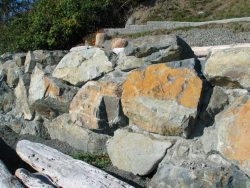
- The large rip rap rocks have been concreted, forming an immovable barrier in heavy storms, and it will probably result in scouring of the beach accretional material, and eventual undercutting and collapse of the structure
-

- A double problem here: Complete removal of cliff vegetation and then extensive intrusion into the intertidal area. The slumping that caused the vegetation removal was probably aided by impervious surfaces above with the consequent addition of large quantities of run-off which destabilized the soil.
-
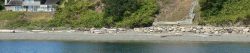
- The contrast of the undisturbed beach on the left with the sea wall on the right may eventually provide a useful test of what happens in an extreme storm

-
- An extensive sea wall and shore modification as well as vegetation removal has impacted on the shoreline habitat in these areas.-fall 2007
-
- The contrast of the undisturbed beach on the left with the sea wall on the right may eventually provide a useful test of what happens in an extreme storm.
-

- Further north on the beach, habitat modification which could result in serious erosion in a storm.
-

- This sea wall is extensive and is built entirely on crown land of the shore.
-

- A concrete lip is built right on the top of the sand. Engineered disaster!
-
- A neighboring wall is not extensive and is made of unconsolidated riprap, but the concrete edge on the sand could be a problem.
-
- Sea wall of unconsolidated riprap.
-
- A good start at cliff deterioration. Vegetation removal and dumping over the bank at the top.
-

- The images above are provided as close-up sections where sea walls have been built on the supratidal zone.
-

- first two houses by the parking lot
-
- The first two residences by the parking lot, with minimal intertidal intrusion.
-
- Natural Beach vegetation must be preserved to afford the best protection from erosion in extreme storms.
-

- Relatively undisturbed section of the beach remains at the foot of the first properties by the parking lot .
-
- This dock on the north side of Albert Head has minimal impact itself, but boats docking will contribute hydrocarbons to the water column.
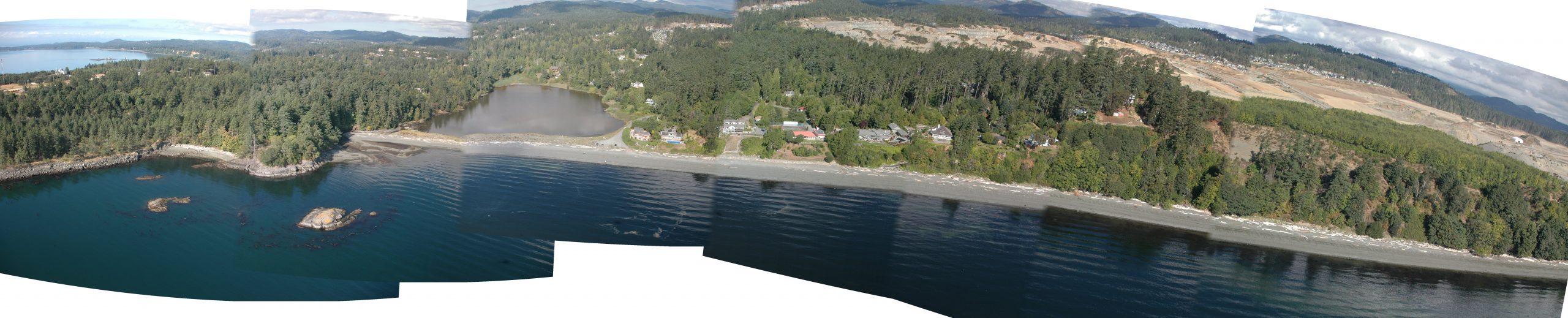
Panorama assembled from images from the GEOBC-summer 2007
This site has been created to represent the contiguous ecosystems of the Race Rocks Ecological Reserve/Marine Protected Area and for the use of the Green Blue Spaces sub committee of the Metchosin Environmental Advisory Select Committee ( MEASC). Copyright: G.Fletcher Marine Education Consulting, 2008
webmaster and educational director of racerocks.com