
Aerial Map Courtesy of the CRD NATURAL AREAS ATLAS
Other aerial Images by helicopter, courtesy of GEOBC
 Christopher Point:
| Christopher Point is off limits, being managed by the DND. Visible from the water are bunkers used in the early part of the last century for a coastal defence system. The point was also the site of an “Egg-beater style” windmill which was a research site for BC Hydro in the 1980s and 90’s. The tower has now removed. |
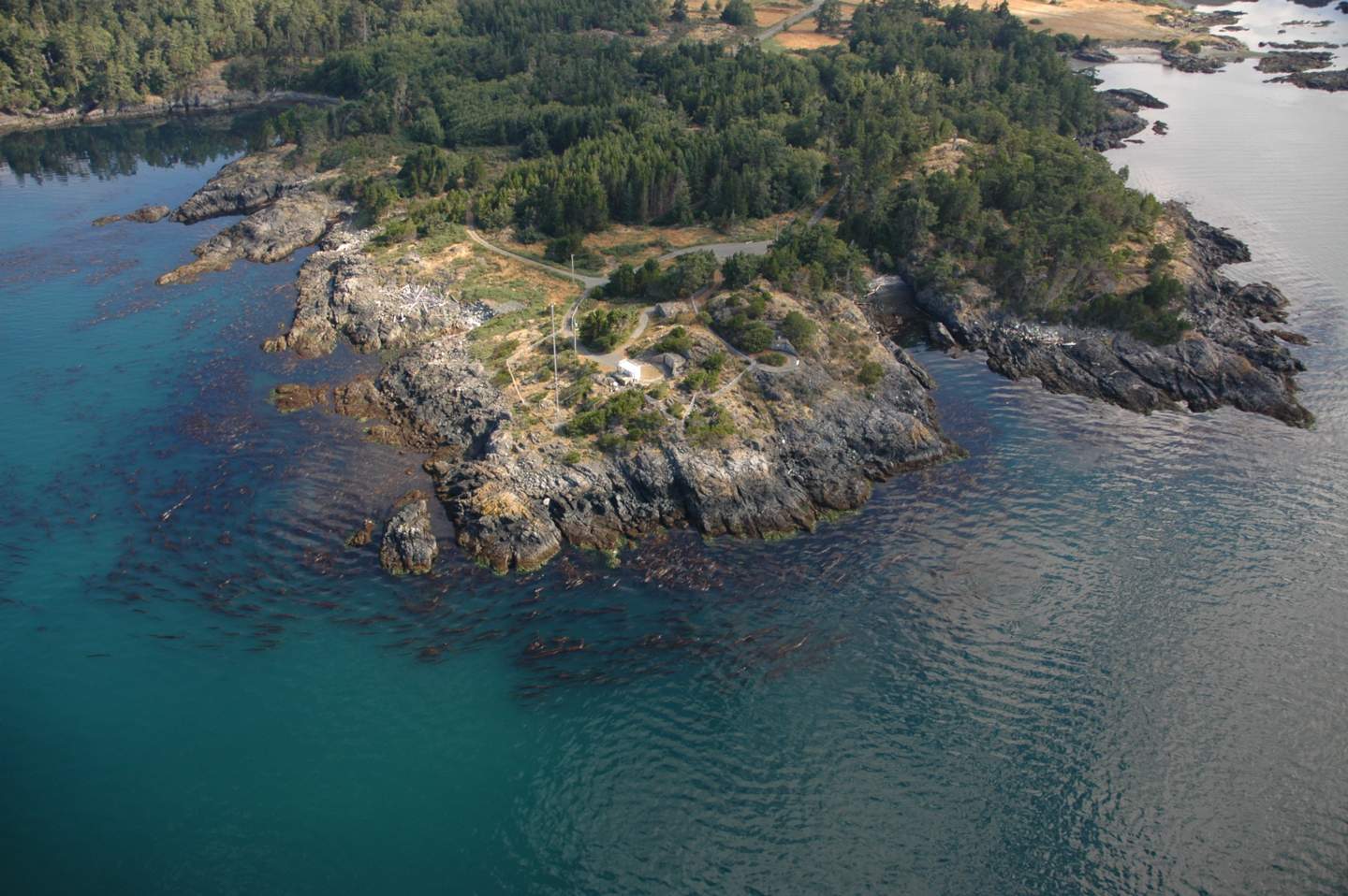
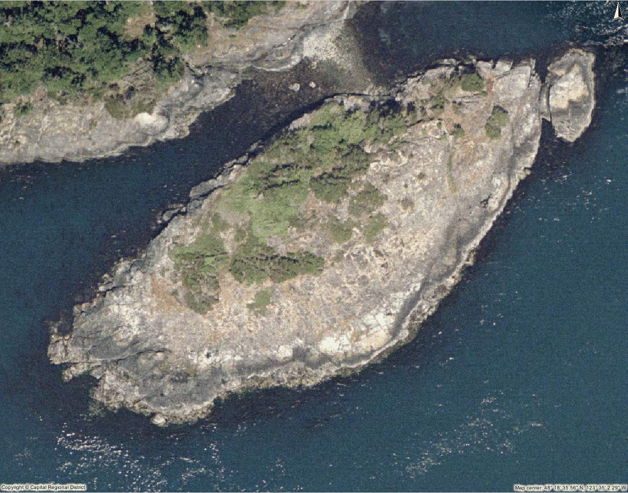
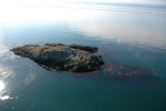
 Shelter Island and Cove
-
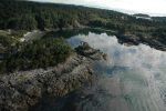
- Shelter Island is a pristine Shore pine covered tombolo island attached at low tide to a very fine sandy beach
-
- Shelter Island from the east. Unfortunately this fine white sand beach is the site of underwater demolition exercises by the DND, so landing on it is prohibited
-
- Shelter Island from above

-
- It was in this Bay that the necropsy for Orca L51 was conducted in 1999

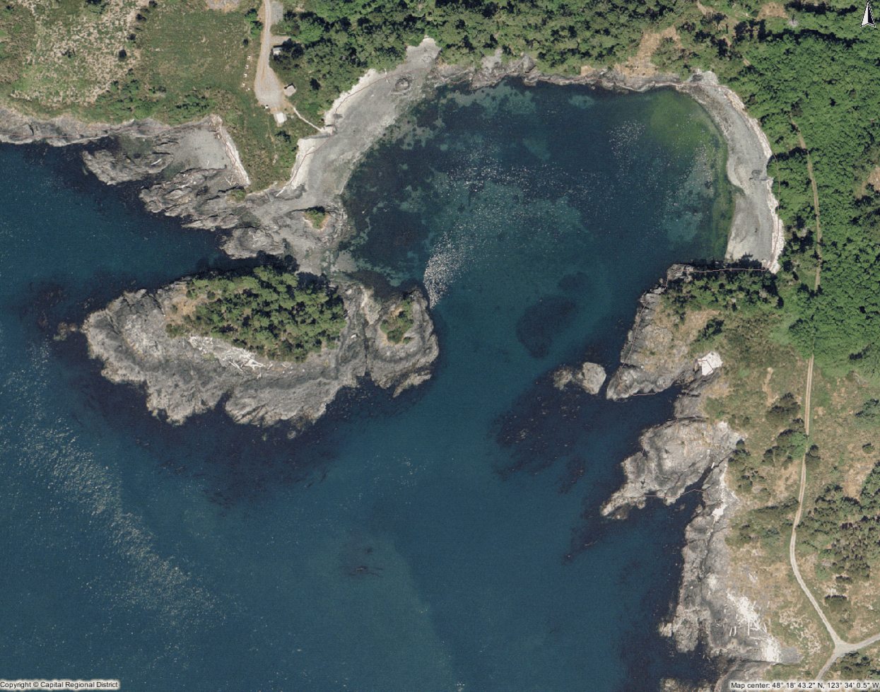
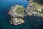
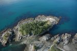
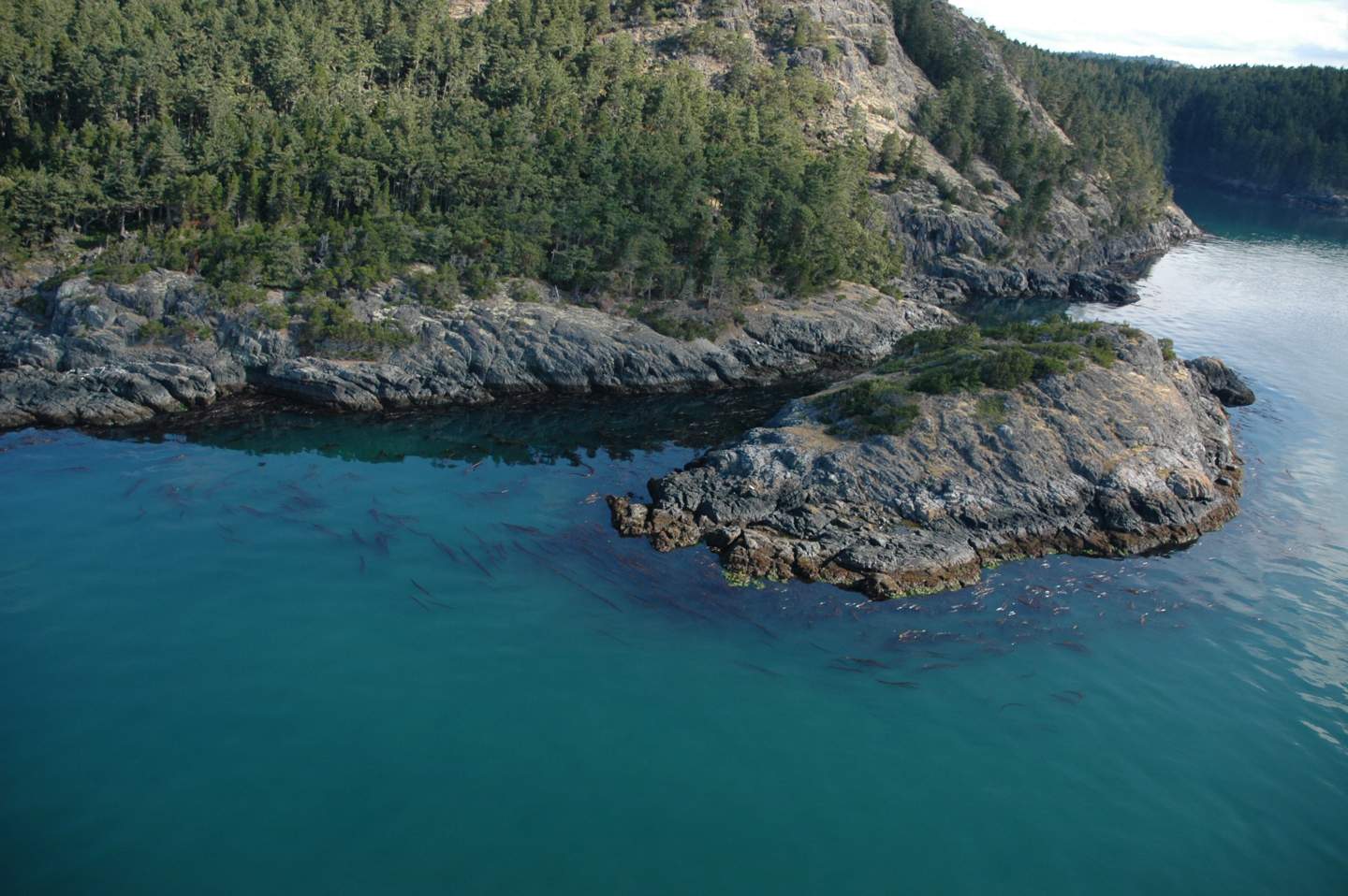
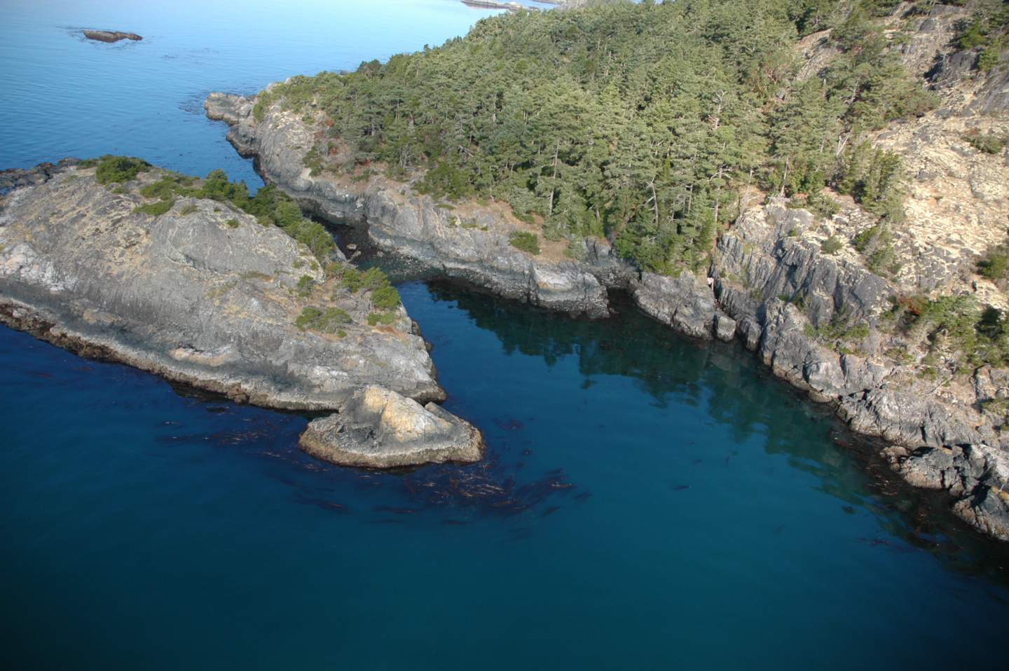
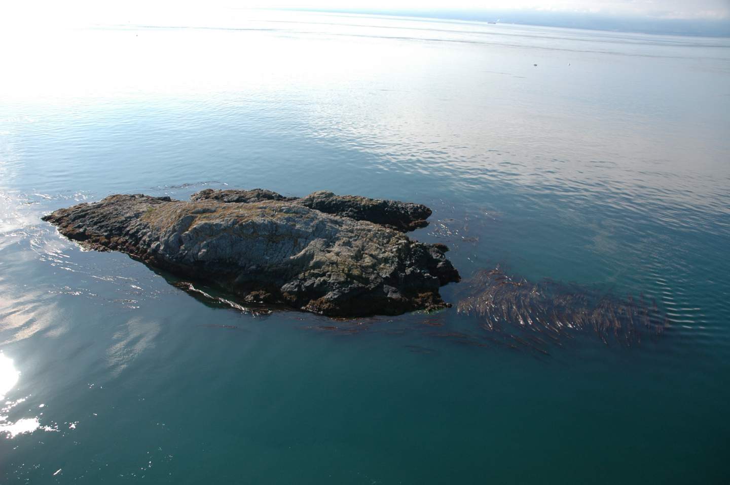
 Swordfish Island
-
- View from the west side, looking to the east to Shelter Island in Whirl Bay.
-
- View from the south side. The video below is taken in the tunnel through the island.
-
- View from the east side stalked jellyfish live on the eelgrass stalks, in a small bed tucked in behind the island on the east end.
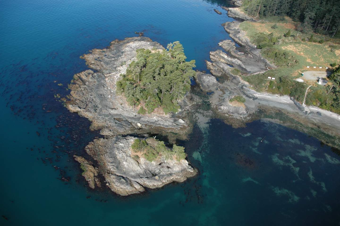
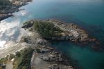
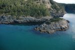
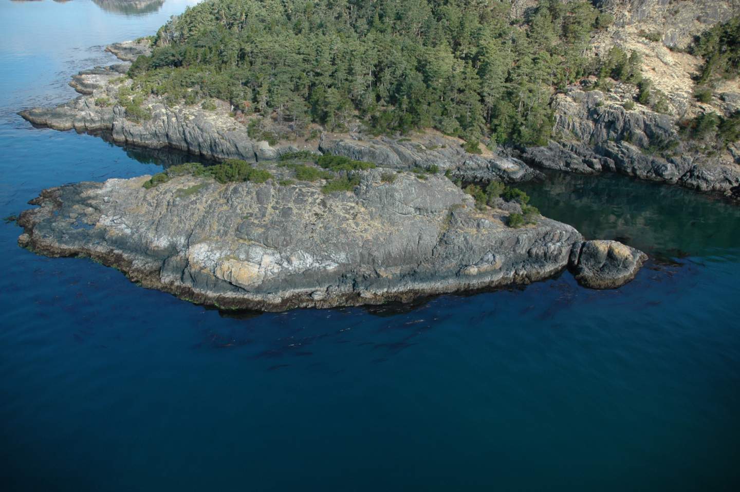
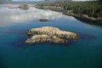
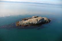
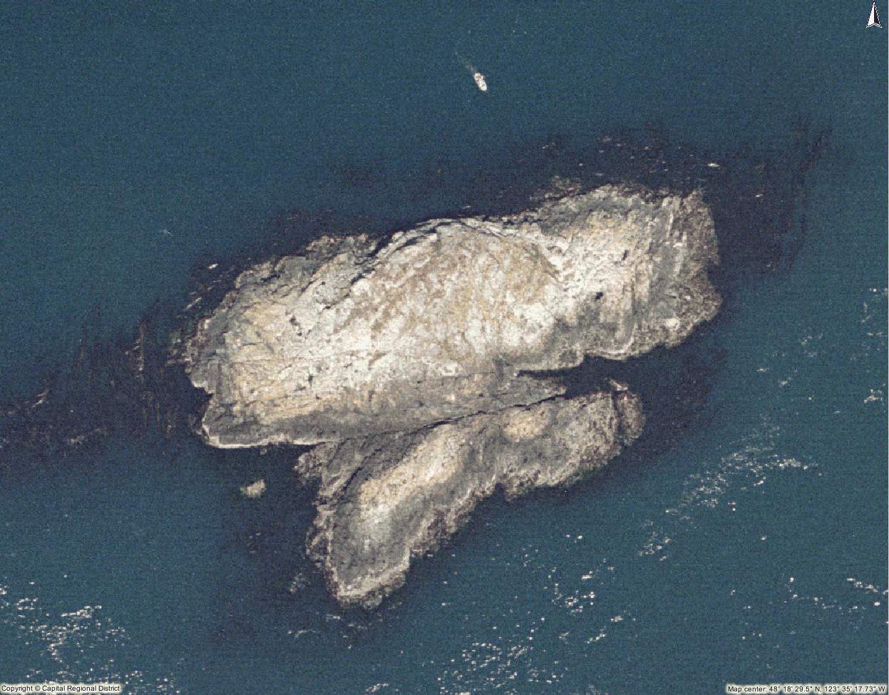 Church Island
-
- Church Island on the lower left, Swordfish on the righ

-
- View from the northwest side. A large patch of the rare seaside plant Romanzoffia tracyi sits on the north facing ridge at the top,
-
- View from the south sid

-

- view from the east side
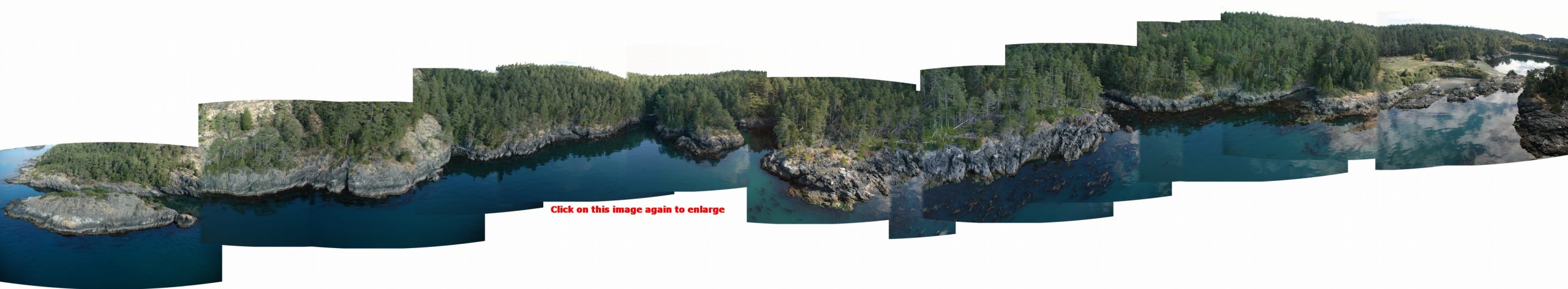
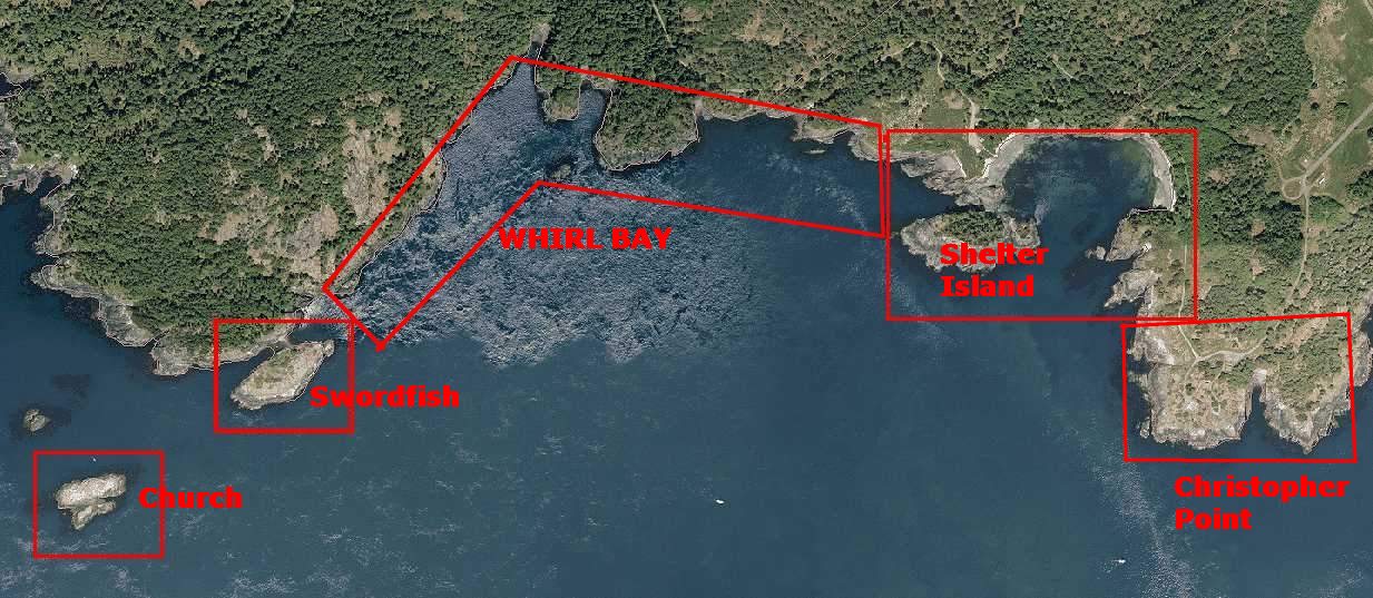
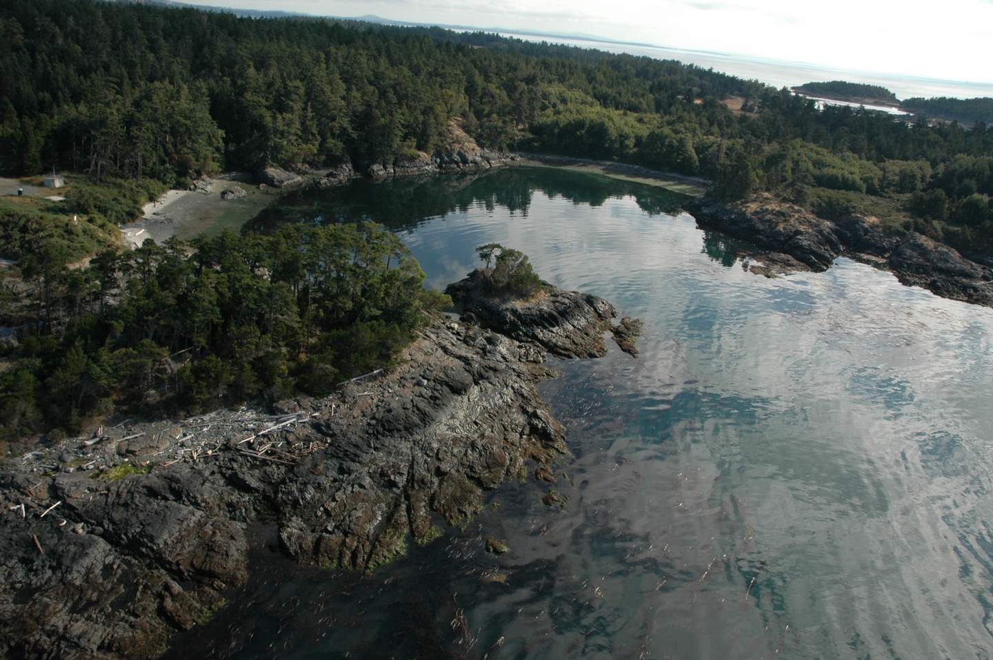
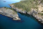
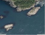
Whirl Bay : From Swordfish Island to Shelter Island- Click to enlarge..
The helicopter side view pictures on this page were derived from the
British Columbia Ministry of the Environment; GEOBC Spatial Analysis Branch Ocean Resources.
The MetchosinMarine website has been created to represent the contiguous ecosystems of the Race Rocks Ecological Reserve/Marine Protected Area and for the use of the Green Blue Spaces sub committee of the Metchosin Environmental Advisory Select Committee (MEASC). Copyright: G.Fletcher 2013 ( garryf ( use at) gmaill.com)