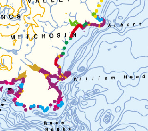
The Province of British Columbia’s Shore Unit Map Gallery.
Based on the Physical Shoreline Classification System these maps provide the shoreline classification units for each of the project areas.
MetchosinCoastal
The Coastline of the Metchosin District, Southern Vancouver Island


