Drift Cards for Oil Spill Study Recovered on Taylor Beach

A number of NGOs concerned with the threat of increasing oil tanker traffic through the Georgia Strait and The Strait of Juan de Fuca have released drift cards in the Drift Card Ocean Circulation Study. The aim is to provide accurate models for predicting the trajectory of an oil spill in the Fraser River, Puget Sound or the Strait of Juan de Fuca. This is especially important to know now since the Kinder Morgan Trans Mountain Pipeline Expansion Project looms on our doorstep.

There is a map with locations of recovered cards.  http://www.salishseaspillmap.org/

The pink  card released by The Friends of San Juans had not spent very much time in the water but  it is apparent that the yellow card spent a great deal more time in the ocean as it is considerably more warn and scratched than the first pink card.

There was a brisk wind blowing from the East today, The first time I noticed eel-grass close to the water in the strand line, and this card was recovered from there. at 48°22’10.1″N 123°31’48.2″W.

On November 9, 2014 : The following  card was on Taylor beach, at high tide level, driven up by the storms with surge from the East in the past week. This card is fairly worn, the messsage was very hard to read, indicating it has been floating around for some time.

raincoast-logo-2014

Andy of Raincoast Conservation Foundation provided the following feedback on the yellow card I found today:”That’s a very cool find! It is from our drops last October, from the mouth of the Fraser River. These cards all moved south initially, and out the Juan de Fuca and up the west side of Vancouver Island. The furthest recovery from that drop location is on BC’s central coast.”

If you find a Drift Card report it as soon as possible with information about date,and time and location of recovery. Directions are included on the card.

This link provides information on the risk of an oil spill on our shores:  https://metchosinmarine.ca/gf/?cat=94


Development Permit Areas Line Most of East Sooke’s Shoreline.

The following CRD Map shows almost the Complete Coastline of our Neighbouring District. This East Sooke Official Community Plan Map 3b  on Foreshore , Wetland and Riparian Areas Development Permit Areas shows the DPA designation:

East_Sooke_Land_Use_Map in PDF format.

or click on the map below for link

eastsookedpa


devpermareas

Trees of the Coast of Metchosin

Terrestrial and Marine Systems Interact with exchanges of materials and energy between the two. This page when developed further will illustrate that interaction.
Some ideas to be developed here:

1. Energy and materials transfer to the ocean of terrestrial vegetative material  by freshwater runoff . Carbon and Nutrient input from forests to the oceans.

2. The close ties between salmon and forest productivity

3. Overhanging trees in Coastal areas providing shelter and insect food for forage fish.

4. Control of coastal erosion by tree cover.

5. Coastline aesthetics of tree cover.

Link to posts on this website tagged with “Trees”

————————————————————————————–
See the Protected Tree Map of Metchosin
The Protected Trees of Metchosin was a topic of one of the Blue-Green Spaces Walk and Talk Series. The files on the trees have been prepared by Jim MacPherson and Moralea Milne.

Link to the Tree Cutting Bylaw proposal of MEASC, 2013

Link to the  Tree Management Bylaw :

Link to:Times Colonist:  Metchosin stops short of requiring permits to cut trees


District of Metchosin Official Community Plan Section on Shoreline Slopes Development Permit Areas

From the Official Community Plan : Available at this link

Map6_Development_Permit_Areas

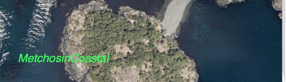
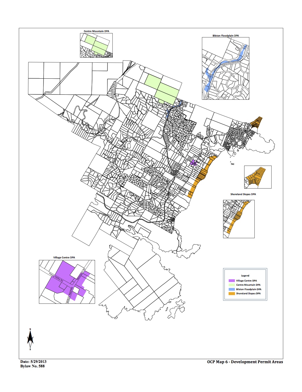
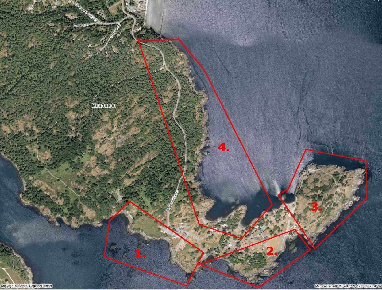
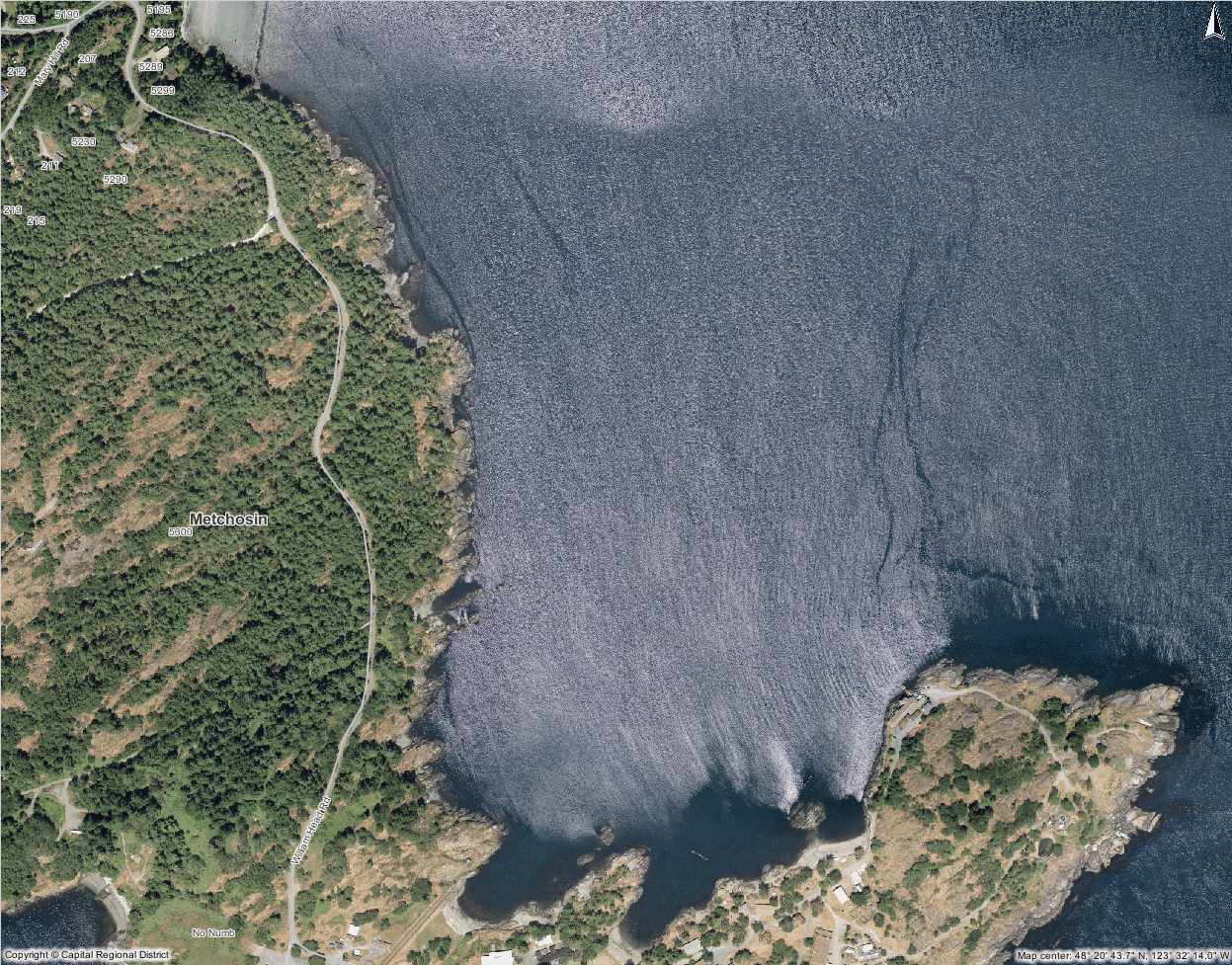
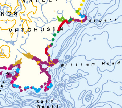
DPAs in Metchosin ( click to enlarge)

2.16    SHORELAND SLOPES DEVELOPMENT PERMIT AREAS:
The Municipal Act
provides that a community plan may designate development areas to be protected from hazardous conditions. The Municipal Act further provides that in such areas land shall not be altered in any way or subdivided and structures not be built or added to until a Development Permit has been  issued. Council has established the following designation, special conditions, and guidelines.

2.16.1    Designation:  (Bylaw 418, 2004)
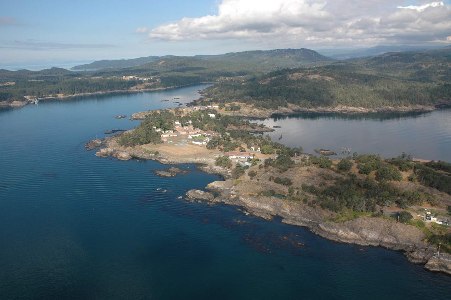
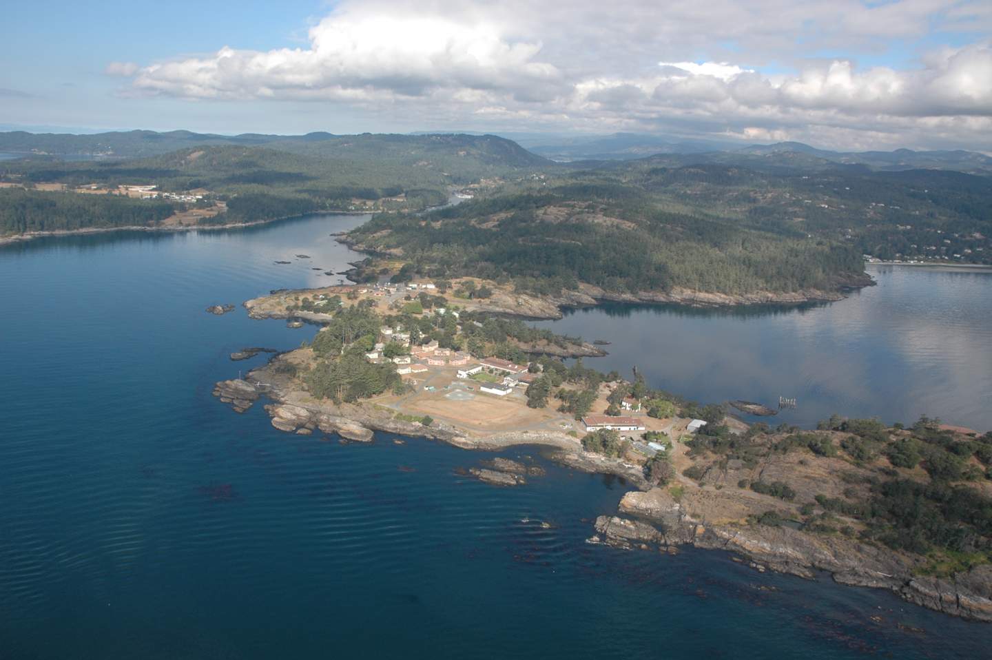
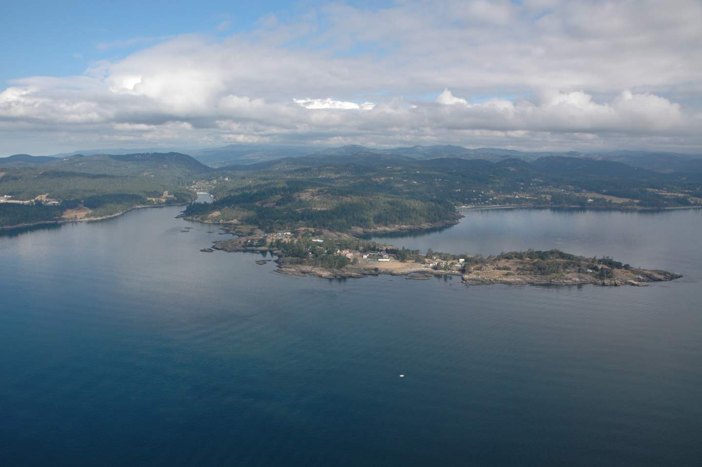
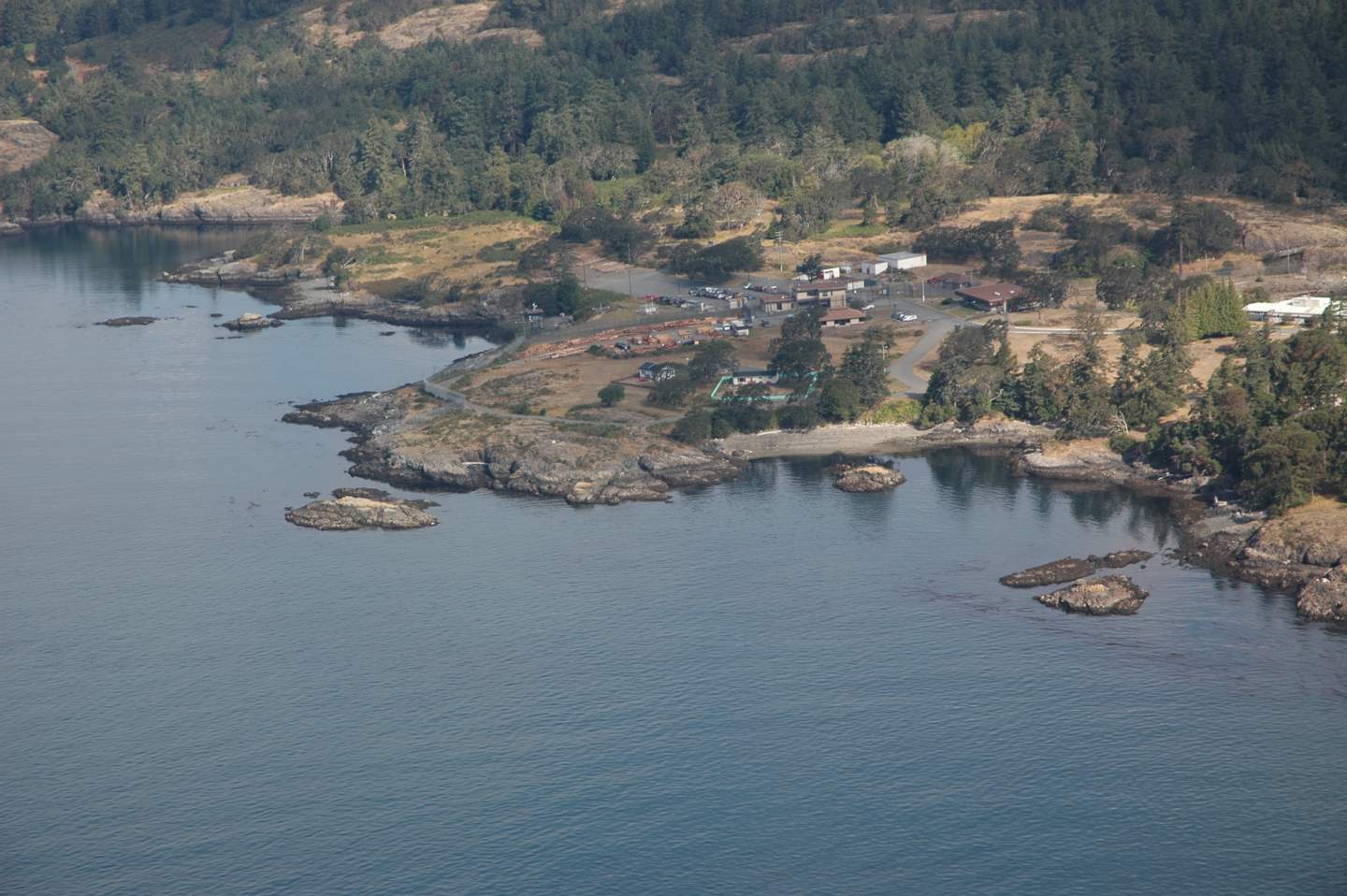
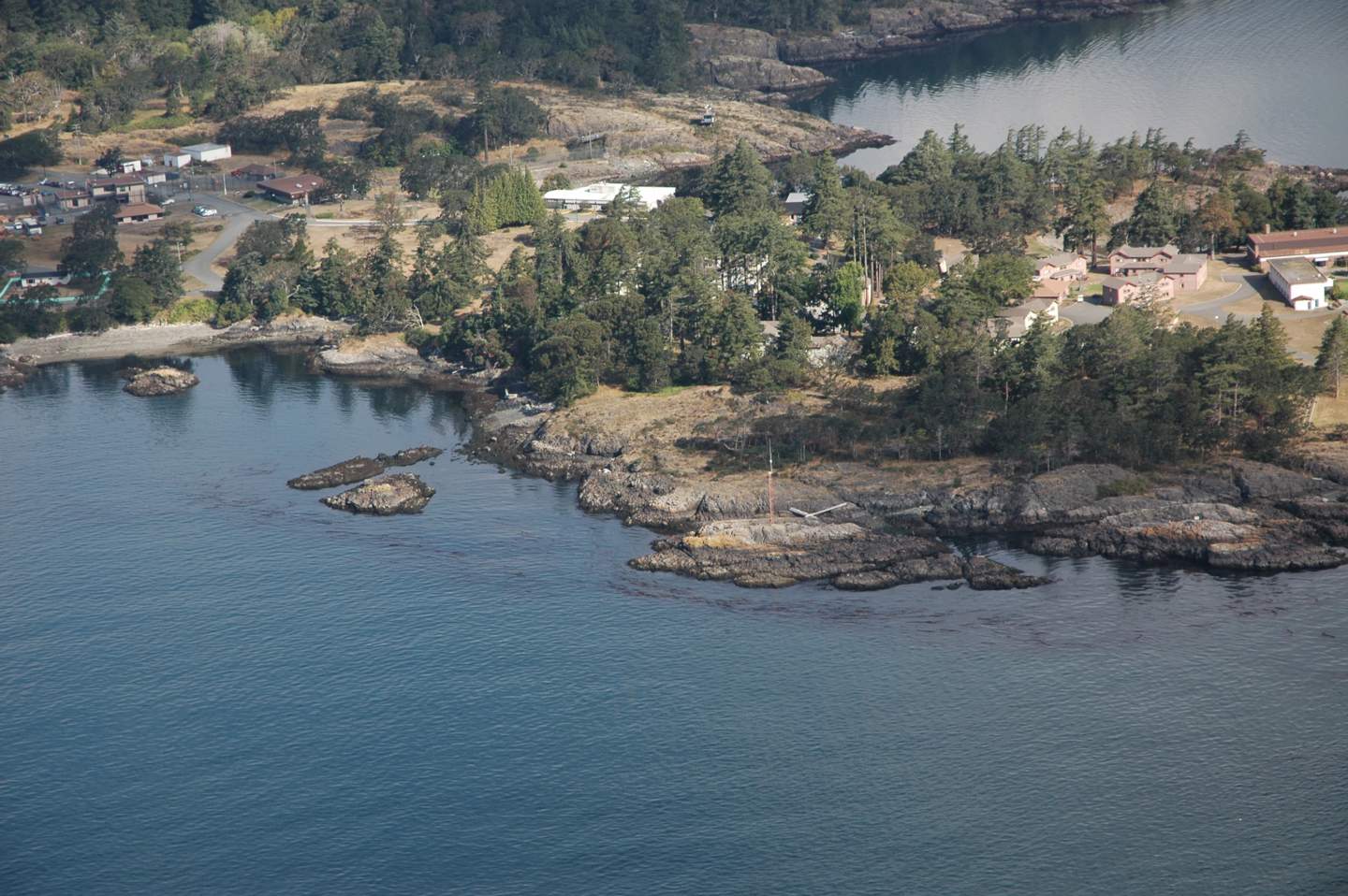
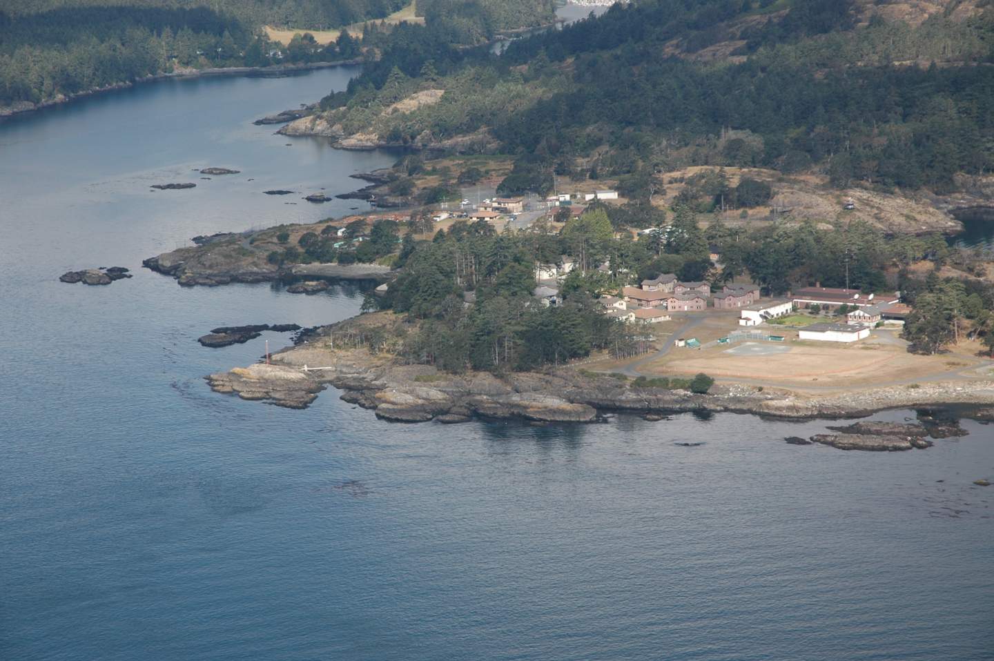
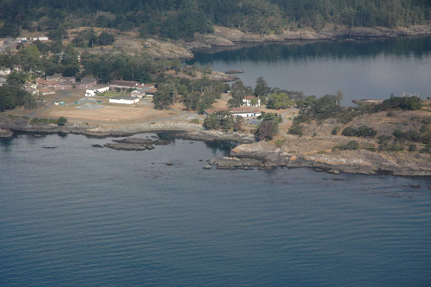
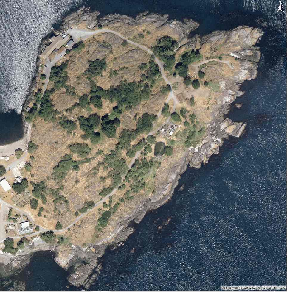
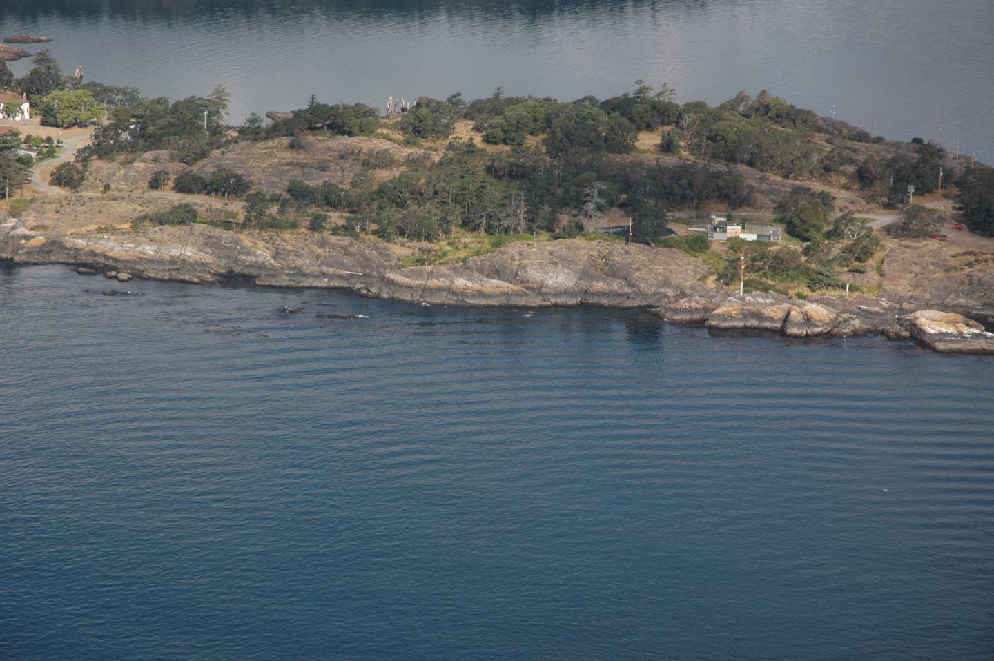
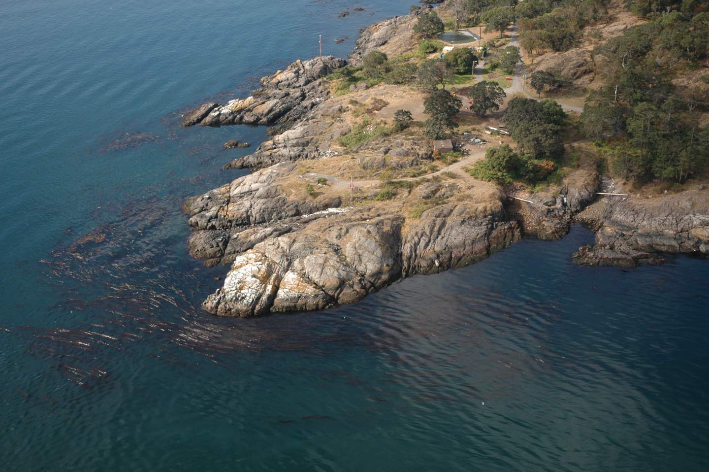
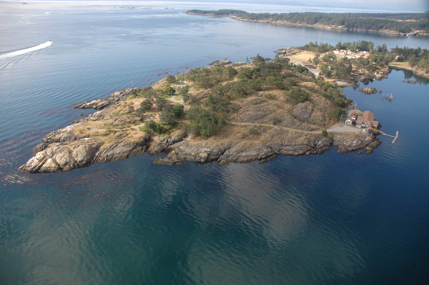
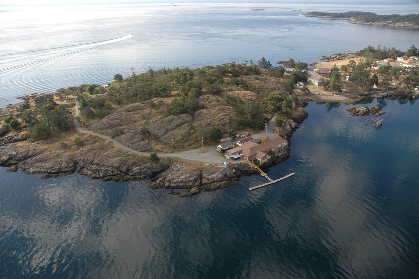
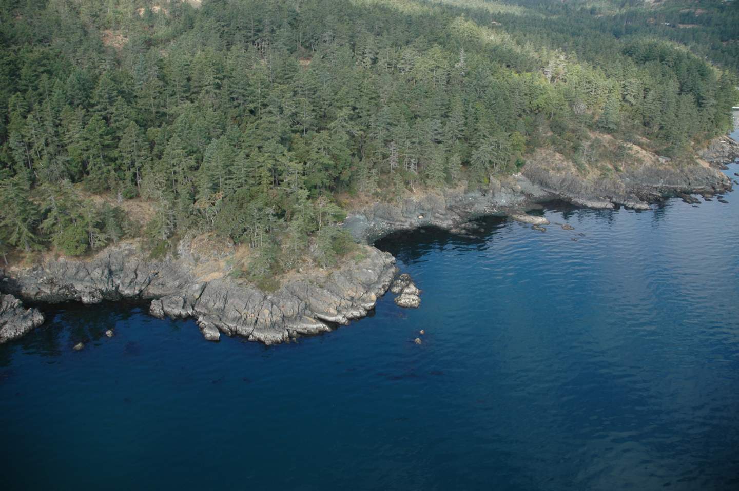
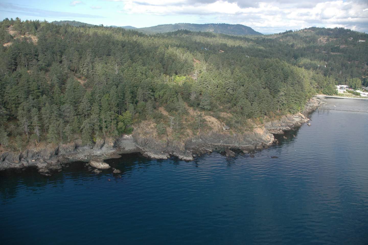
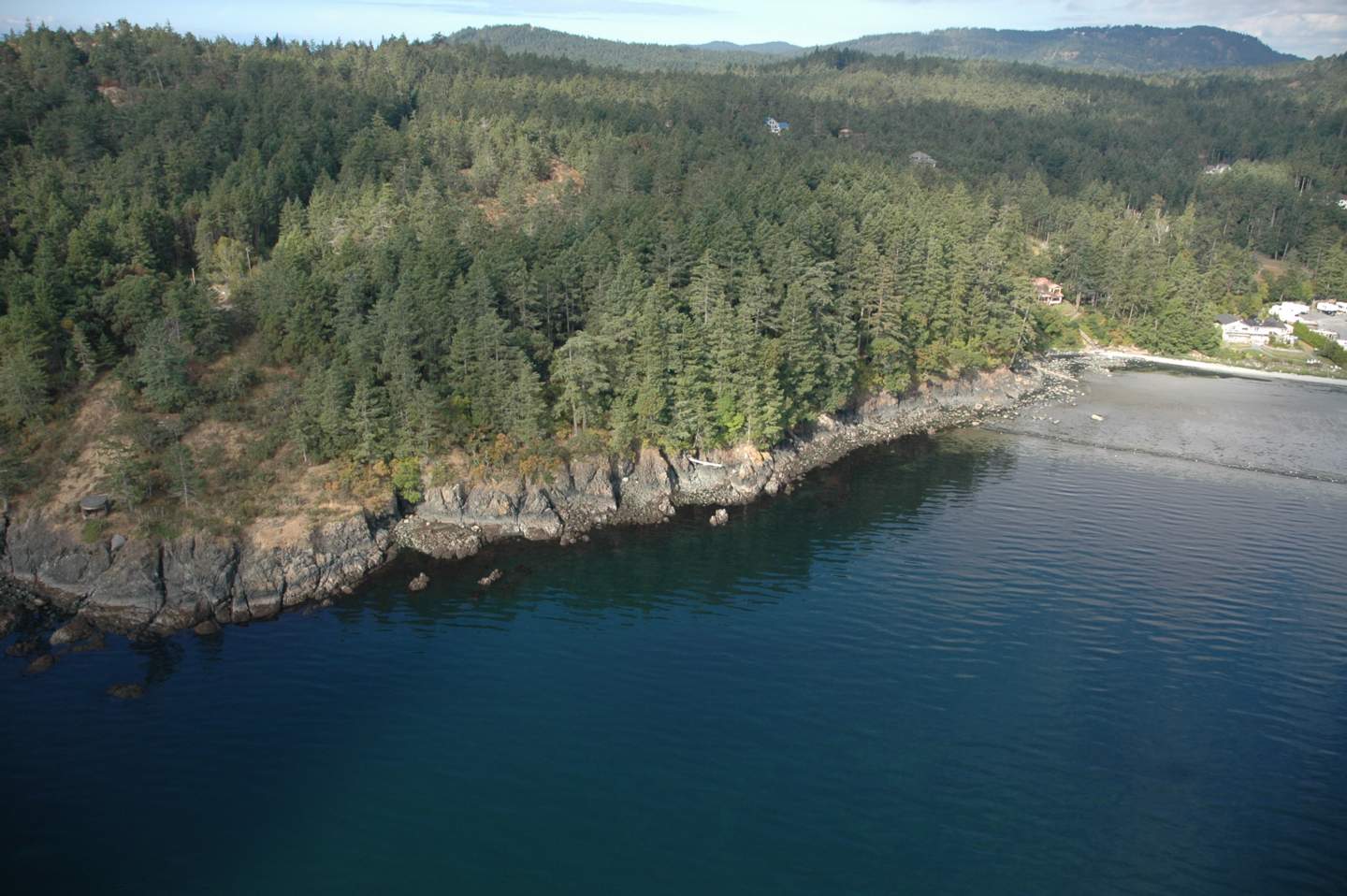
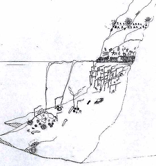
The 1993 Hazard Land Management Plan has identified areas of the Metchosin shoreland slopes as having erosion, land sloughing and drainage problems.

AlbertHead portion of DPAs

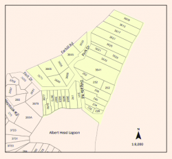
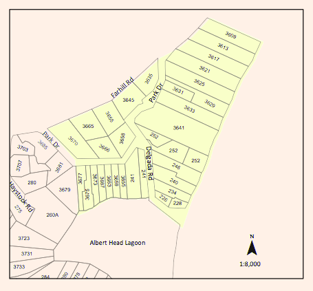
Farhill Road portion of DPAs,

southsectionDPA

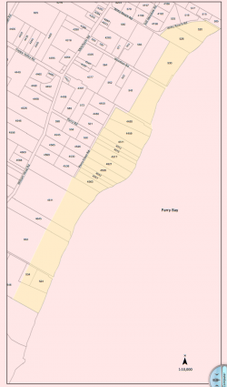
Parry Bay ( Taylor Beach ) section of DPA lands

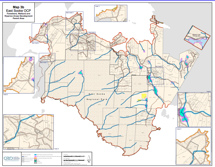
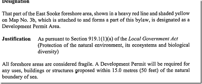
The Shoreland Slopes areas are shown on Map 6 Shoreline Slopes DPA, and are hereby designated as areas for the protection of development from hazardous conditions pursuant to Section 919.1(1)(b) of the Local Government Act.
The Plan has identified three Shoreland Slope classification zones, based on the degree of slope instability and surface erosion potential. Slopes classified as zone 2 and 3 are slopes with the greatest potential for sloughing, slumping and debris flows and have been included in the Development Permit Area.
2.16.2    Special Conditions:
The major concern is that lands, particularly in the Park Drive – Farhill Road area, have experienced a  dramatic rise in ground water levels due to adjacent developments during the last two decades. Other areas of the Shoreland slopes have experienced significant slope erosion in the past. There is a community desire to mitigate any further development related impacts on the marine shorelands.

2.16.3    Policies Development Permits issued shall be in accordance with the following:
(1)    The construction or alteration of buildings on existing lots shall be permitted subject to the Building  Permit process when Council is satisfied that the Development Permit Guidelines (Section 2.14.4) have been met, and, when required, Council is satisfied with the Engineer’s Report (Section 2.14.5).
(2)Where a Development Permit is applied for in conjunction with an application for subdivision approval, rezoning, or both, the Development Permit shall be conditional on the successful completion of those other permits and shall lapse if the subdivision or rezoning is not approved.

2.16.4    Guidelines:
(1)    All applications for new development in the Development Permit Areas shall be required to have an Engineer’s Report (described below).
(2) Removal of vegetation shall be minimized.
(3) House construction, regrading, and excavation of till (including for road building) is not permitted within 60 metres of the edge of the slope except where geotechnical engineering and resource management studies indicate that a lesser setback is acceptable.
page 31

2.16.5    Engineer’s Report:
Before a development permit is issued, the applicant shall be required to furnish a report at his\her expense from a registered professional engineer with geotechnical experience which will certify that the proposed development will produce no adverse impacts on the shoreland slopes and will not place buildings or structures in danger of slope slippage.

The Engineer’s Report shall demonstrate that consideration has been given to the following:
(1)(a) siting and setbacks of development structures, roads, and services,
(b) minimizing paving and impervious materials, and,
(c) implementing infiltration techniques so as to limit runoff;
(2) designing runoff detention ponds, drainage works, or
sediment traps or basins to reduce the flow of  runoff and silt during land clearing and construction.
(3) development near shoreland slopes must address the impact of surface water on slope stability, vegetation and soils, and make recommendations to remedy that already damaged; and
(4) removal of trees (with a valid tree-cutting permit) or other vegetation should be allowed only where  necessary and where alternate vegetation and/or erosion control measures are established. If possible,  stumps should be left in place to provide some soil stabilizing influence until alternative vegetation is  established. Plans delineating extent of vegetation/tree removal (location, species and diameter of trees) and location of proposed construction, ex cavation and/or blasting, may be required.

The DISTRICT, at its discretion, may also submit the Engineer’s Report to review by a second Engineer at the applicant’s expense, and/or directly to the Ministry of Environment for their comments.

2.16.6    Municipal Response, 
The DISTRICT should:
(1) evaluate the feasibility of purchasing environmentally sensitive shorelands for use as park, forest reserve, or greenbelt;
(2) initiate programs to monitor both surface and ground water to establish patterns of change;
(3)work with proximate agencies to establish erosion and land sloughing control measures.

Ecologically Sensitive Areas of Coastal Metchosin

ecoareas

This list does not necessarily include all ecologically sensitive areas. Arguments could be made for the complete coastline being ecologically sensitive.
1.Lagoon with shorebird habitat, Sensitive dune vegetation
on sand shore.
2.Coastal Islands with harbour seal haulouts

3.Harbourseal haulout

4.Coastal lagoon, migratory and resident seabird habitat.

5.Eel grass beds offshore. Sensitive dune vegetation on sand shore.

6. High current invertebrate community

7. Estuary, mudflat habitat for overwintering shorebirds.

8. Cormorant winter roosting colony.

9. Kelp bed for fish spawning and seabird habitat. Great blue herons often feed from the kelp

10. High current channel with harbour seal haulouts and winter feeding grounds for seabirds, some migratory. Western Grebes and Buffleheads frequent the area in winter.

11. High current area, with significant invertebrate colonies,
kelp beds, a rockfish protection area, marine mammal haulout and seabird nesting and overwintering habitat.

12. Island ecosystems, swept with strong currents bearing significant invertebrate colonies.

13. Island ecosystems with significant invertebrate and kelp beds.


8.1 The Southern Vancouver Island Ecosystems Map

The idea of a Google map is something that could be worked on by students as part of
their take-away assignment, or it could be produced by individuals who can highlight the major marine ecosystems and special features of those features along our coasts.

Below is a sample.  Any of the locations, and images can be linked to other websites.

(http://maps.google.com/maps/ms?ie=UTF8&hl=en&msa=0&msid=118280970847561172095.000440909b33bf52a6c54&t=h&z=9&om=1)

View
Larger Map

Gulf Islands Marine Park:

http://www.pc.gc.ca/pn-np/bc/gulf/carte-map-fl_e.asp
See this example of Race Rocks Topography map:
http://maps.google.com/maps/ms?f=q&ie=UTF8&hl=en&msa=0&msid=116976515220086504185.00043fbaab8763a63fe54&t=h&z=18&om=1

9.0
Take-Aways

 Return to Index

Development Permit Areas in Neighbouring Juan de Fuca Electoral District

DPAshorelineDPA 3= Coastal Habitat and Hazard Section Click on image to see enlargement.. red zone.

4.4.5 of the OCP lays out details of DPAs for all Foreshore and Marine Areas .

Section 4.4.6 of the OCP details DPAs for watercourses,wetlands and riparian areas.
See the complete document here:

CRD on Development Permits:


SECTOR 6 William Head


Link to History of the William Head Quarantine Station from the Metchosin

Museum website


The Intertidal and Subtidal Macroflora and Macrofauna In the Proposed Juan De Fuca National Marine Park Near Victoria, B.C.

Invertebrates Underwater on Metchosin Coastline

The sample of images on this page have been taken by Pearson College Divers and instructors Eric Schauff  and Chris Blondeau and on July 8, 2008, Leslie van de Ven  The map shows the location of the images.