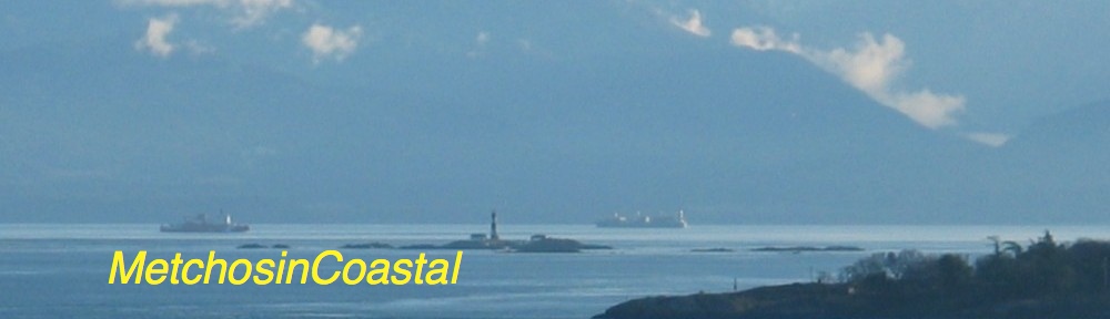
This image is from the website of the Friends of San Juans, http://www.sanjuans.org/
This image is from the website of the Friends of San Juans, http://www.sanjuans.org/
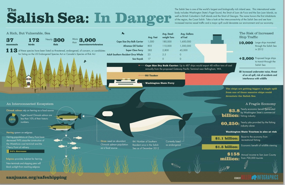
A number of NGOs concerned with the threat of increasing oil tanker traffic through the Georgia Strait and The Strait of Juan de Fuca have released drift cards in the Drift Card Ocean Circulation Study. The aim is to provide accurate models for predicting the trajectory of an oil spill in the Fraser River, Puget Sound or the Strait of Juan de Fuca. This is especially important to know now since the Kinder Morgan Trans Mountain Pipeline Expansion Project looms on our doorstep.
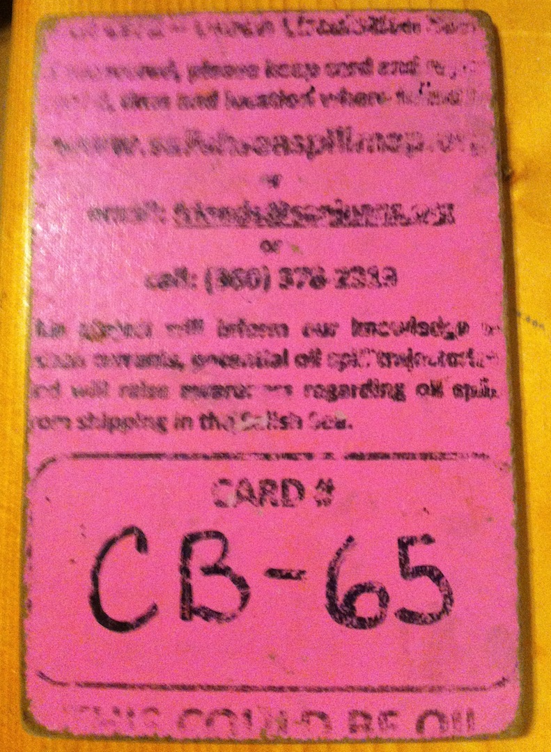
There is a map with locations of recovered cards. http://www.salishseaspillmap.org/

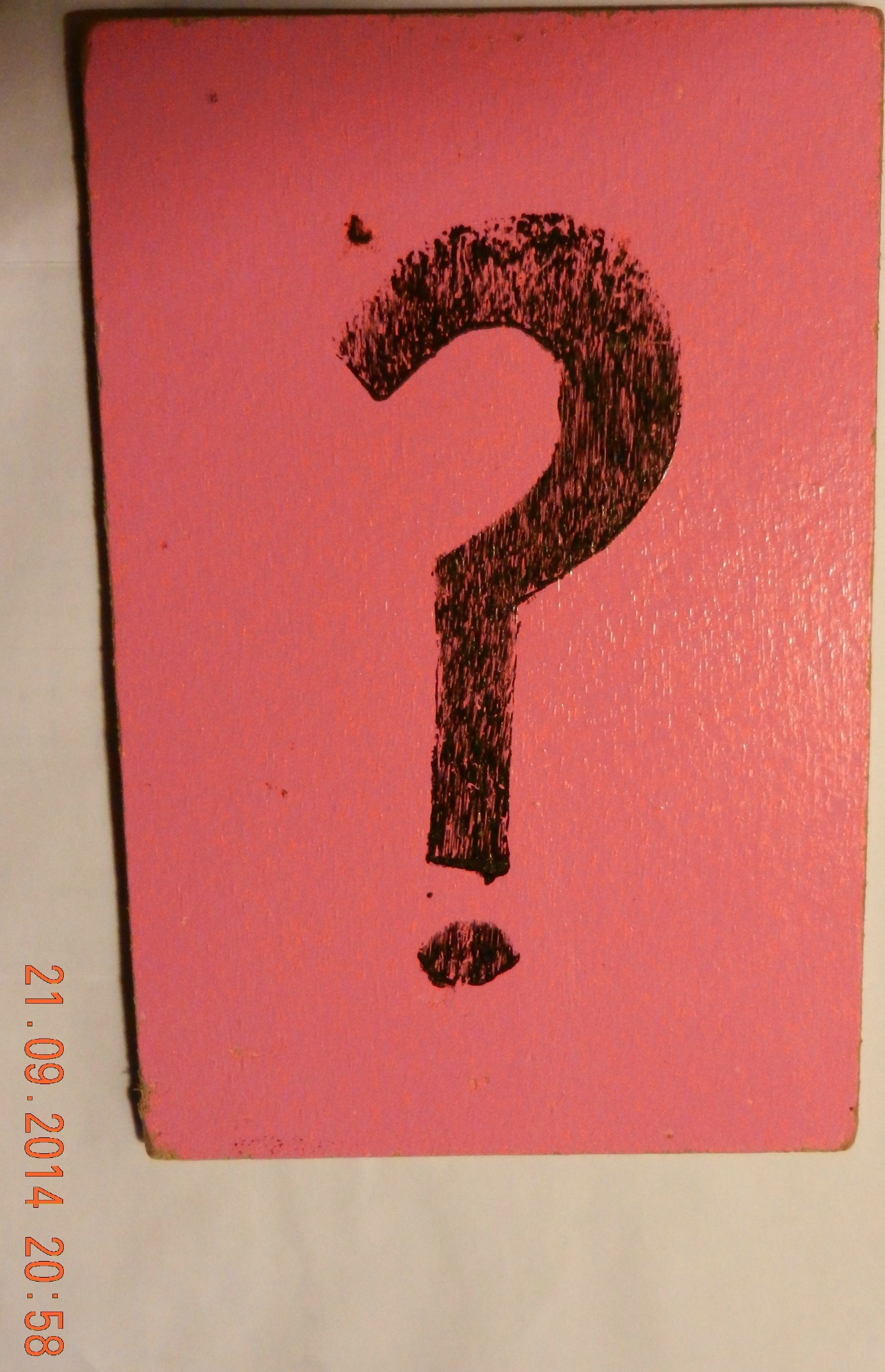
The pink card released by The Friends of San Juans had not spent very much time in the water but it is apparent that the yellow card spent a great deal more time in the ocean as it is considerably more warn and scratched than the first pink card.
There was a brisk wind blowing from the East today, The first time I noticed eel-grass close to the water in the strand line, and this card was recovered from there. at 48°22’10.1″N 123°31’48.2″W.
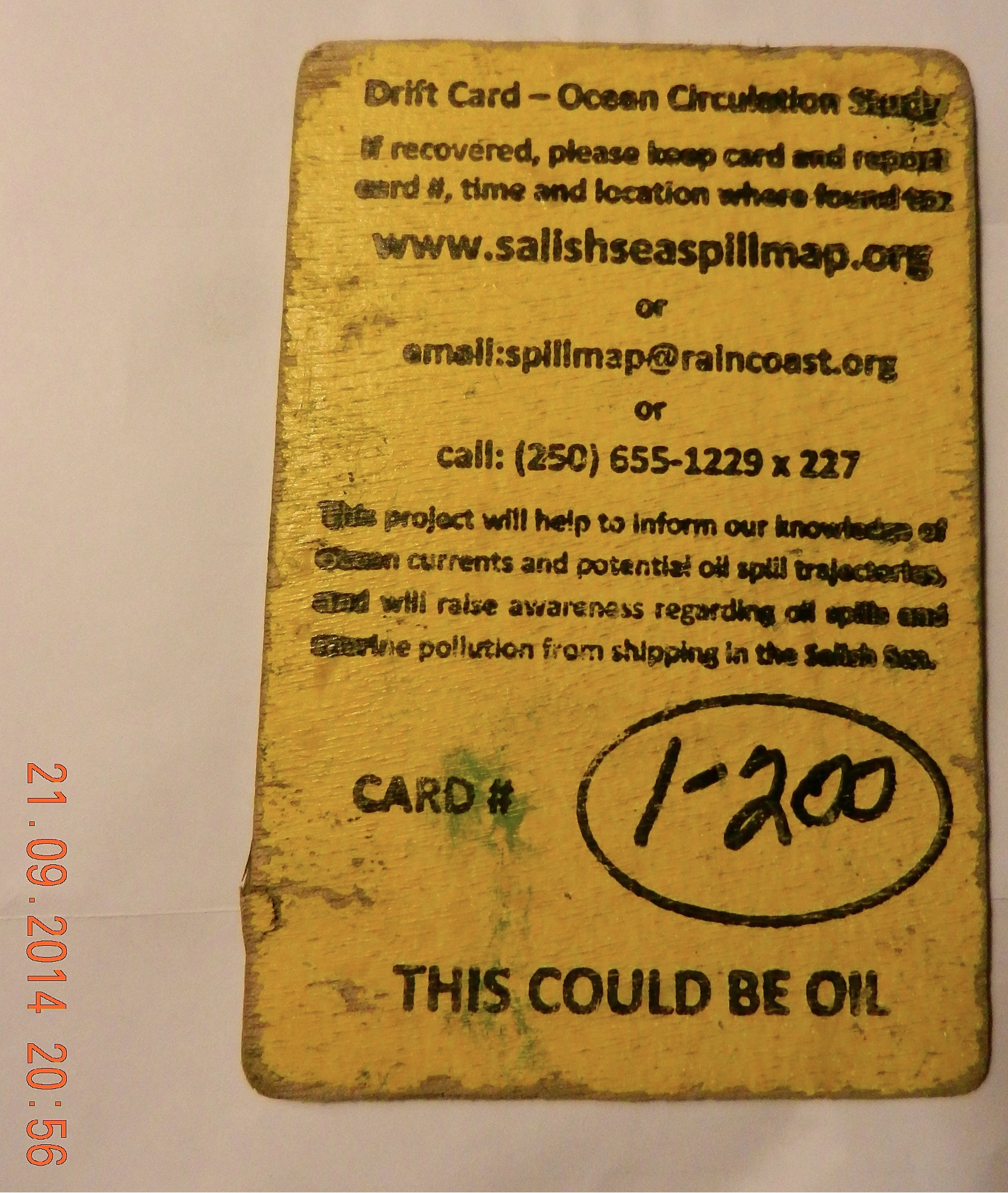
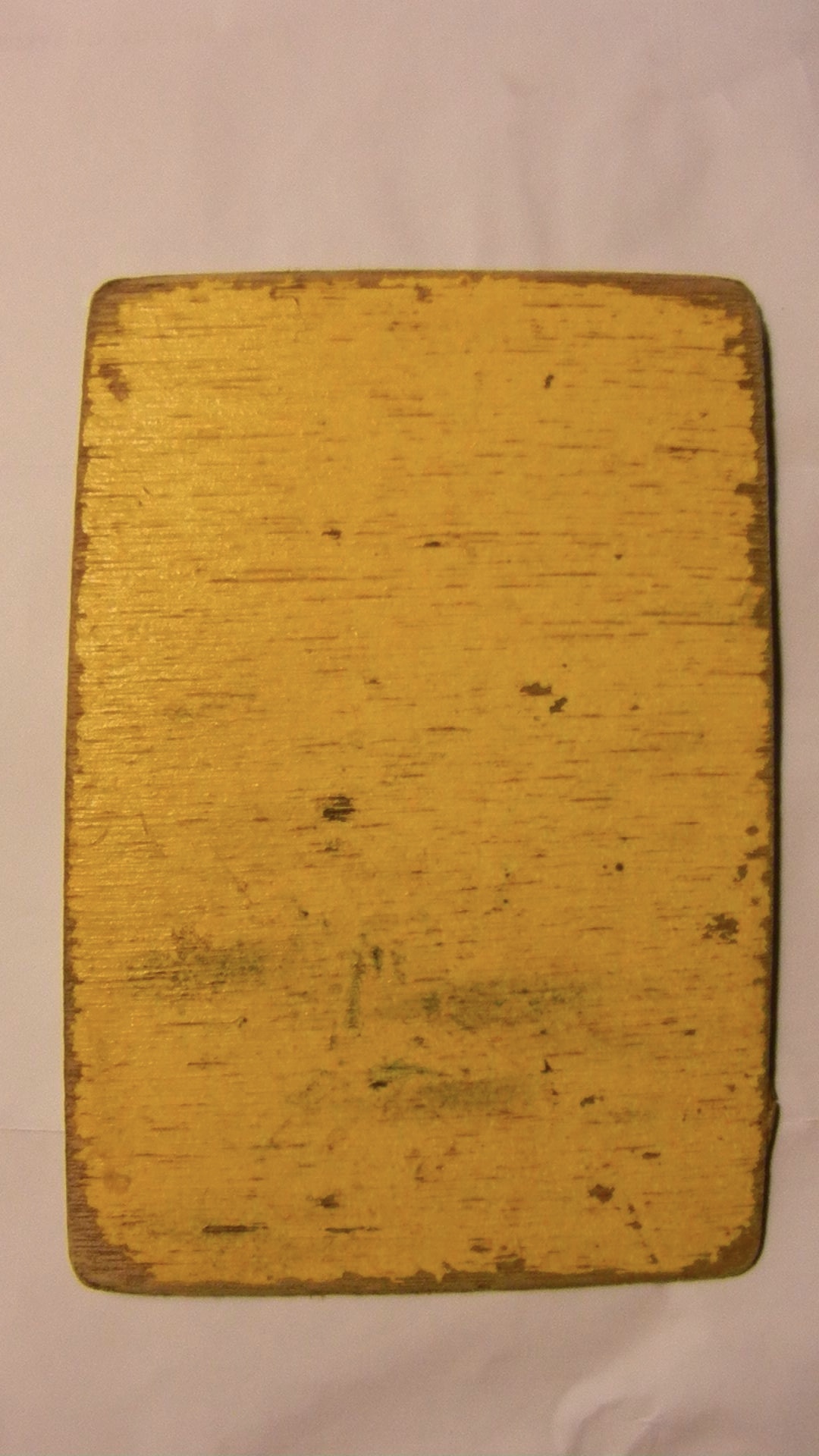
On November 9, 2014 : The following card was on Taylor beach, at high tide level, driven up by the storms with surge from the East in the past week. This card is fairly worn, the messsage was very hard to read, indicating it has been floating around for some time.
![]()
Andy of Raincoast Conservation Foundation provided the following feedback on the yellow card I found today:”That’s a very cool find! It is from our drops last October, from the mouth of the Fraser River. These cards all moved south initially, and out the Juan de Fuca and up the west side of Vancouver Island. The furthest recovery from that drop location is on BC’s central coast.”
If you find a Drift Card report it as soon as possible with information about date,and time and location of recovery. Directions are included on the card.
This link provides information on the risk of an oil spill on our shores: https://metchosinmarine.ca/gf/?cat=94