COASTAL METCHOSIN
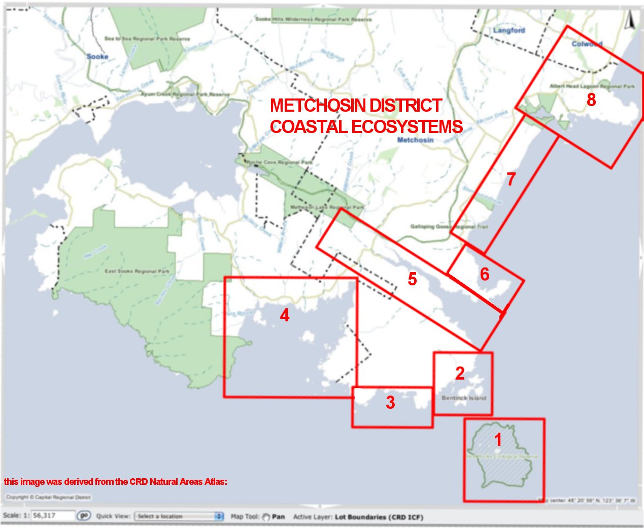
 For photos and details for the numbered sectors on the map, click on the corresponding numbers below.
MetchosinCoastal
The Coastline of the Metchosin District, Southern Vancouver Island


COASTAL METCHOSIN
 For photos and details for the numbered sectors on the map, click on the corresponding numbers below.