Daily Archives: January 28, 2013
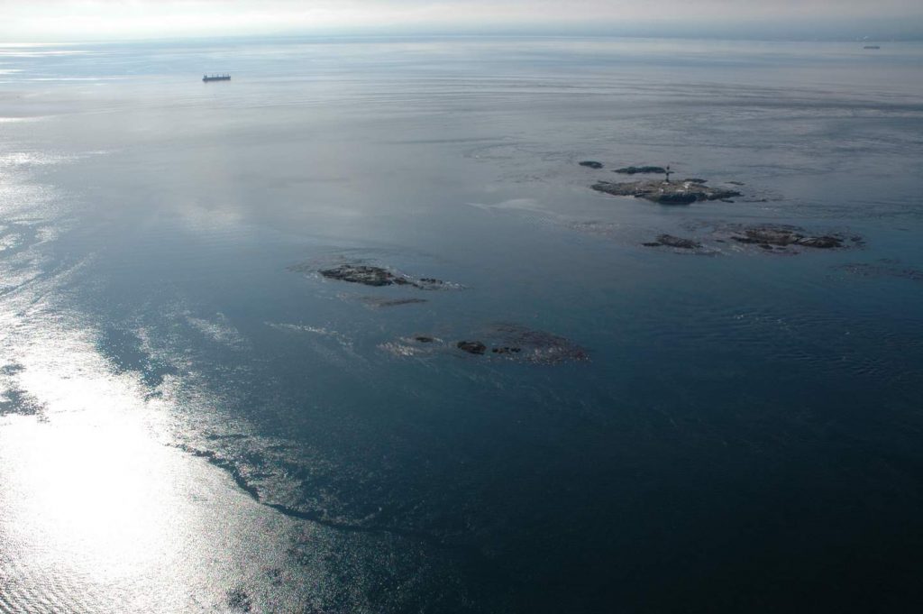
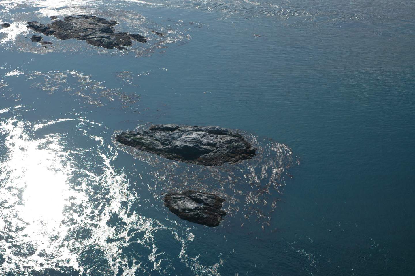
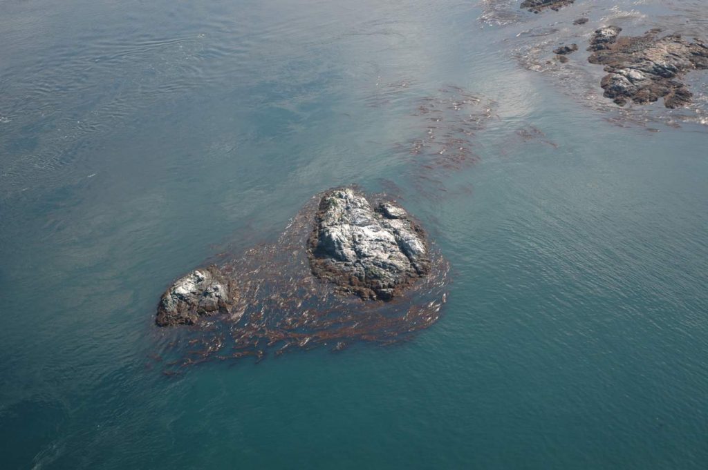
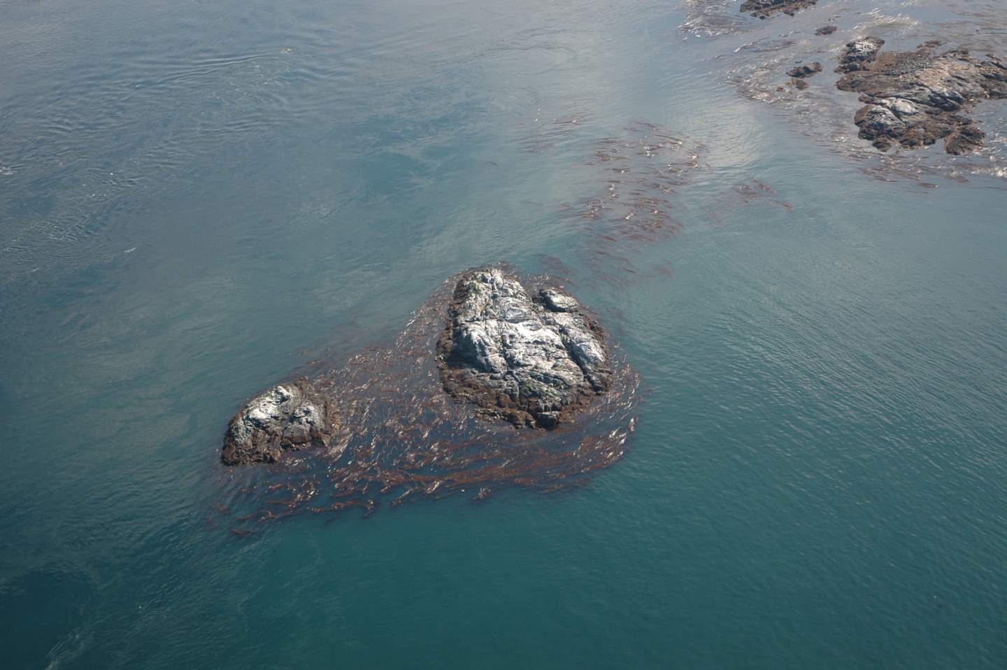
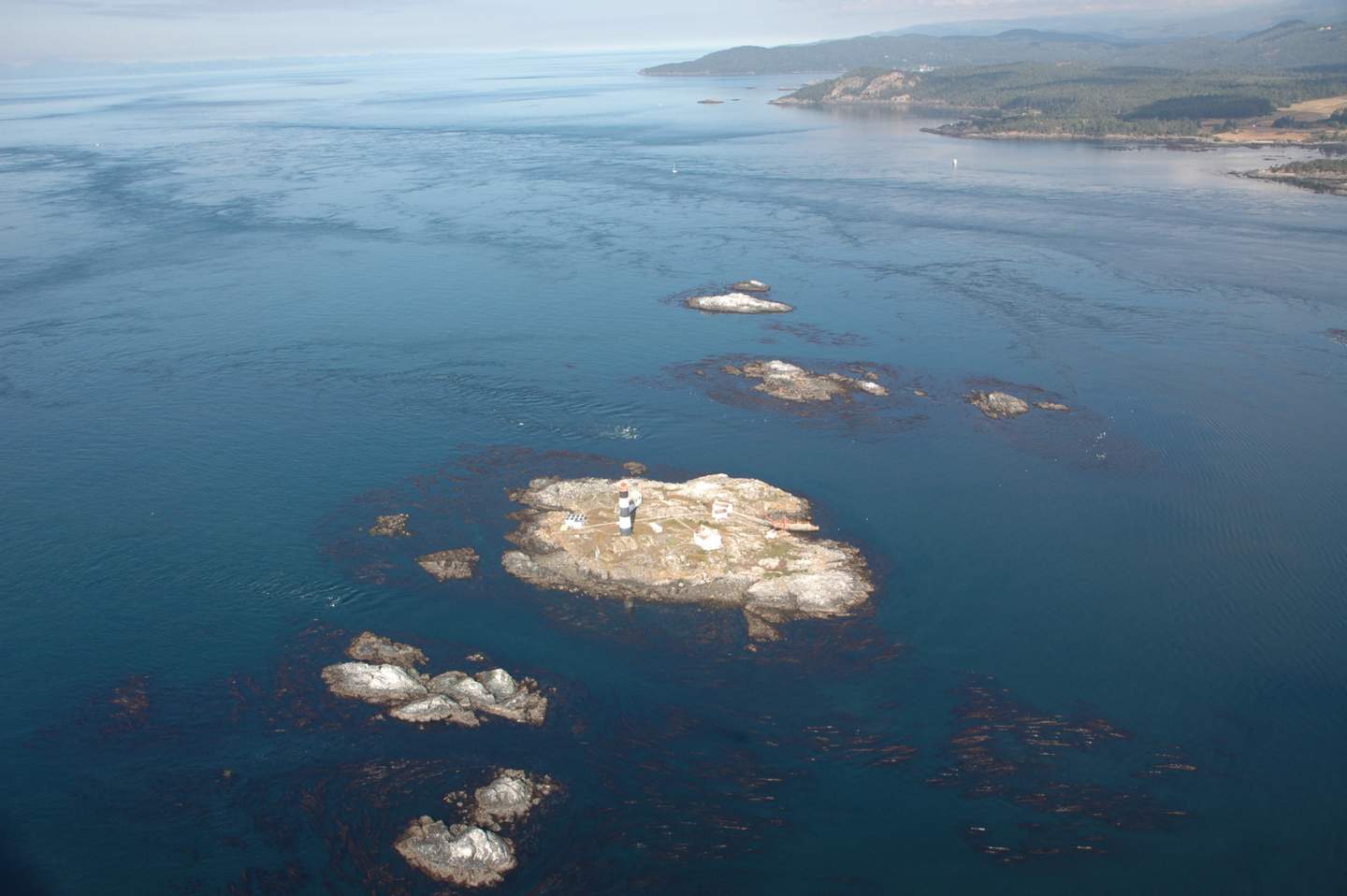
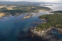
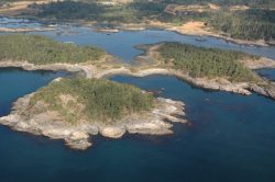
SECTOR 1 RACE ROCKS
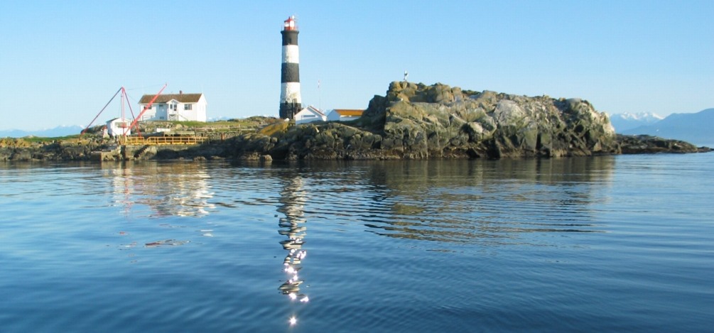
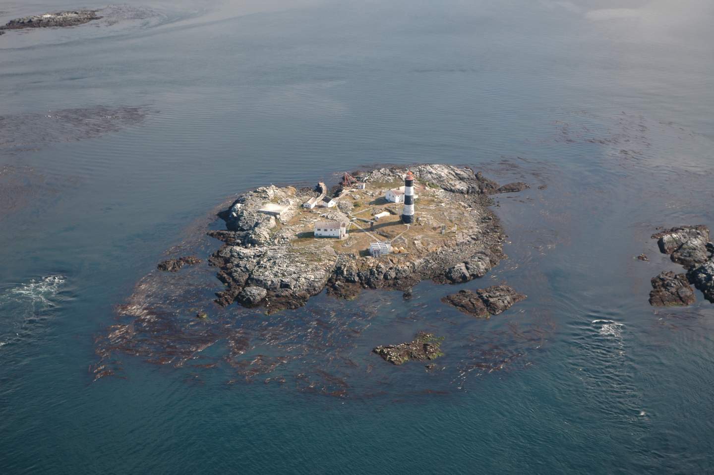
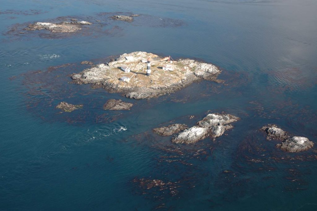
Great Race in the Race Rock, the central island. All but the tower envelope is included in the Race Rocks Ecological Reserve.. The other islands of the ecological reserve are represented below: The link to the racerocks.ca website is used for the ecological information on this part of Metchosin’s coastline.
-
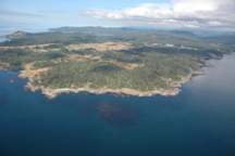
- View of Race Rocks archipelago from Bentinck Island

-
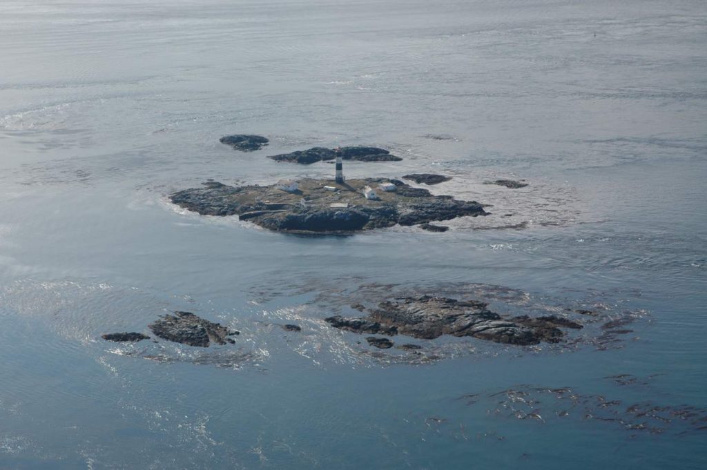
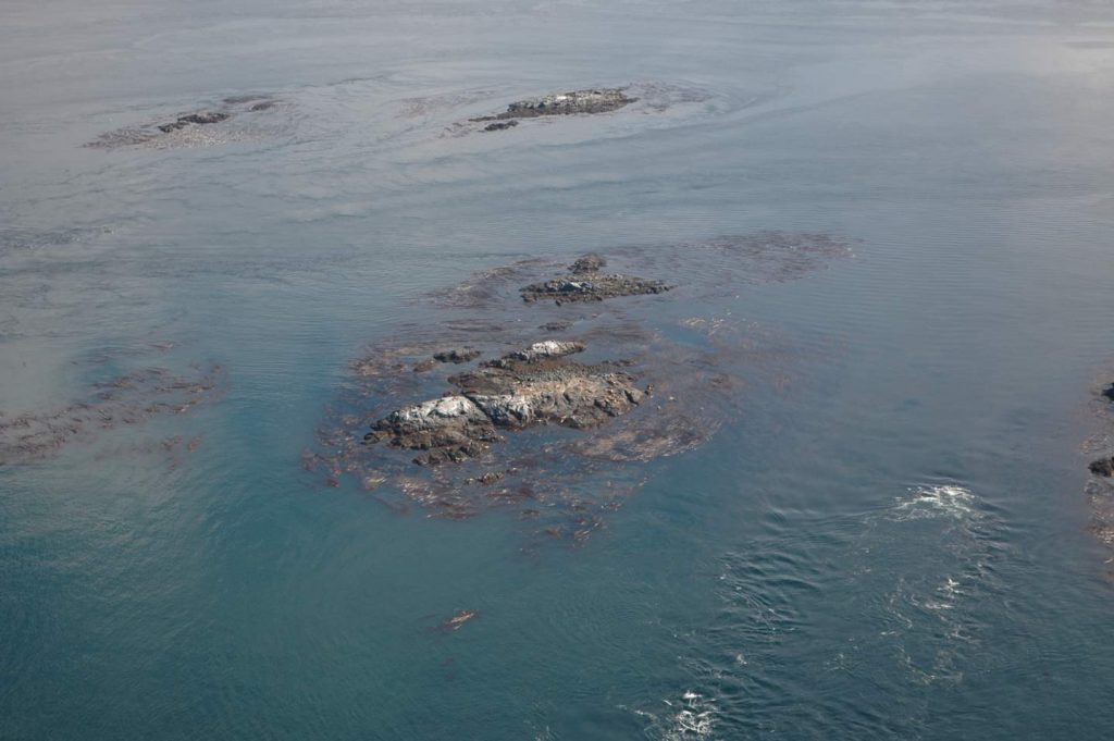
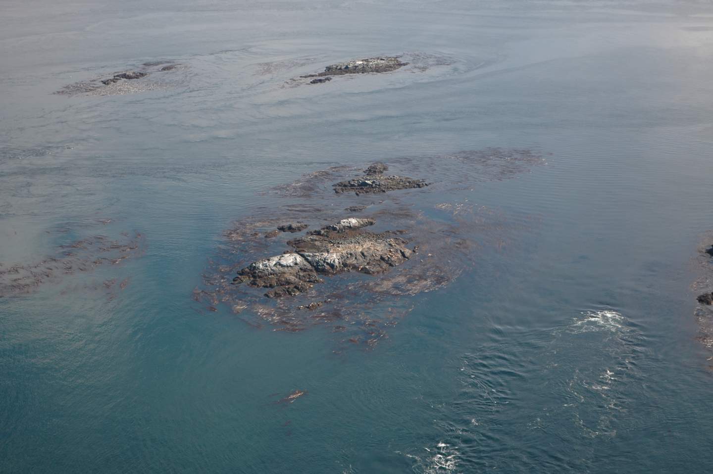
- Great Race Rocks and Middle Rocks

-

- West Race Rocks from the north west
-
- West Race Rocks from the south west
-
- Middle Island from the south
-

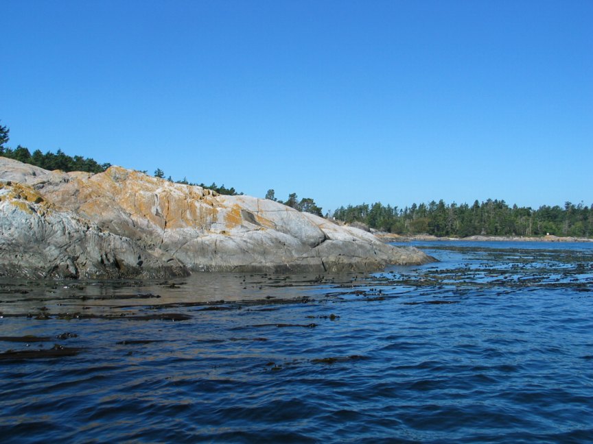
- Great Race Rocks from the south
-
- Great Race Rocks from the south west

-

- Great Race Rocks from the south west
-

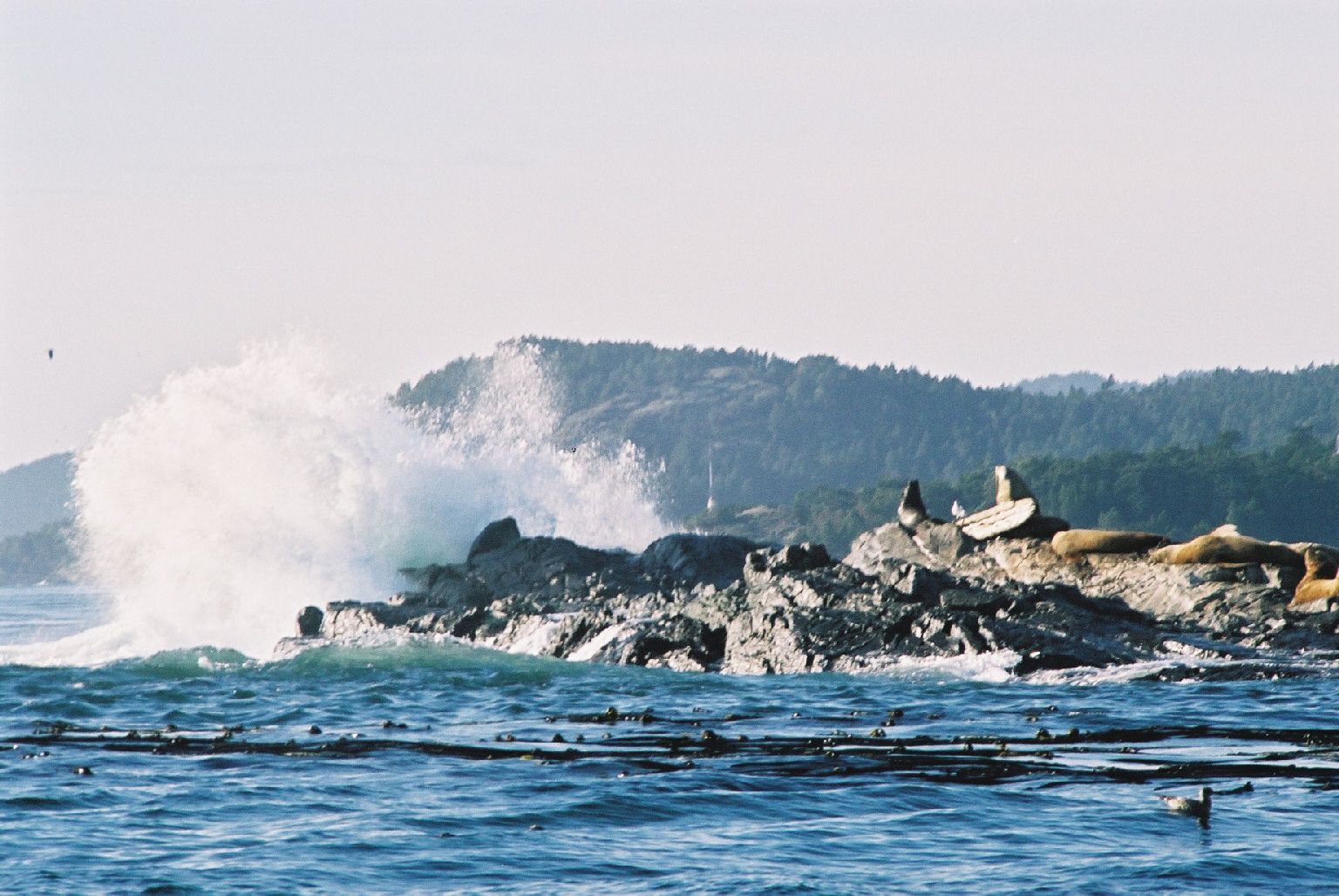
- NOrth Rock in a Western swell
-

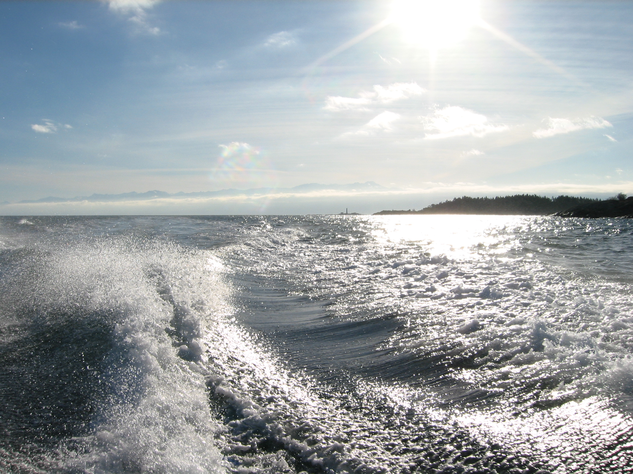
- Race Rocks In the wake
-
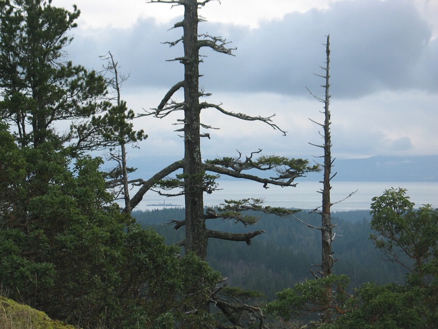
- Race Rocks from the Sea Bluff trail

-
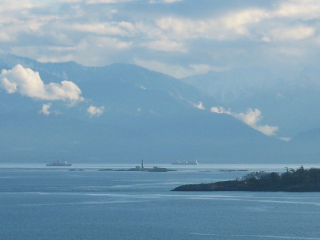
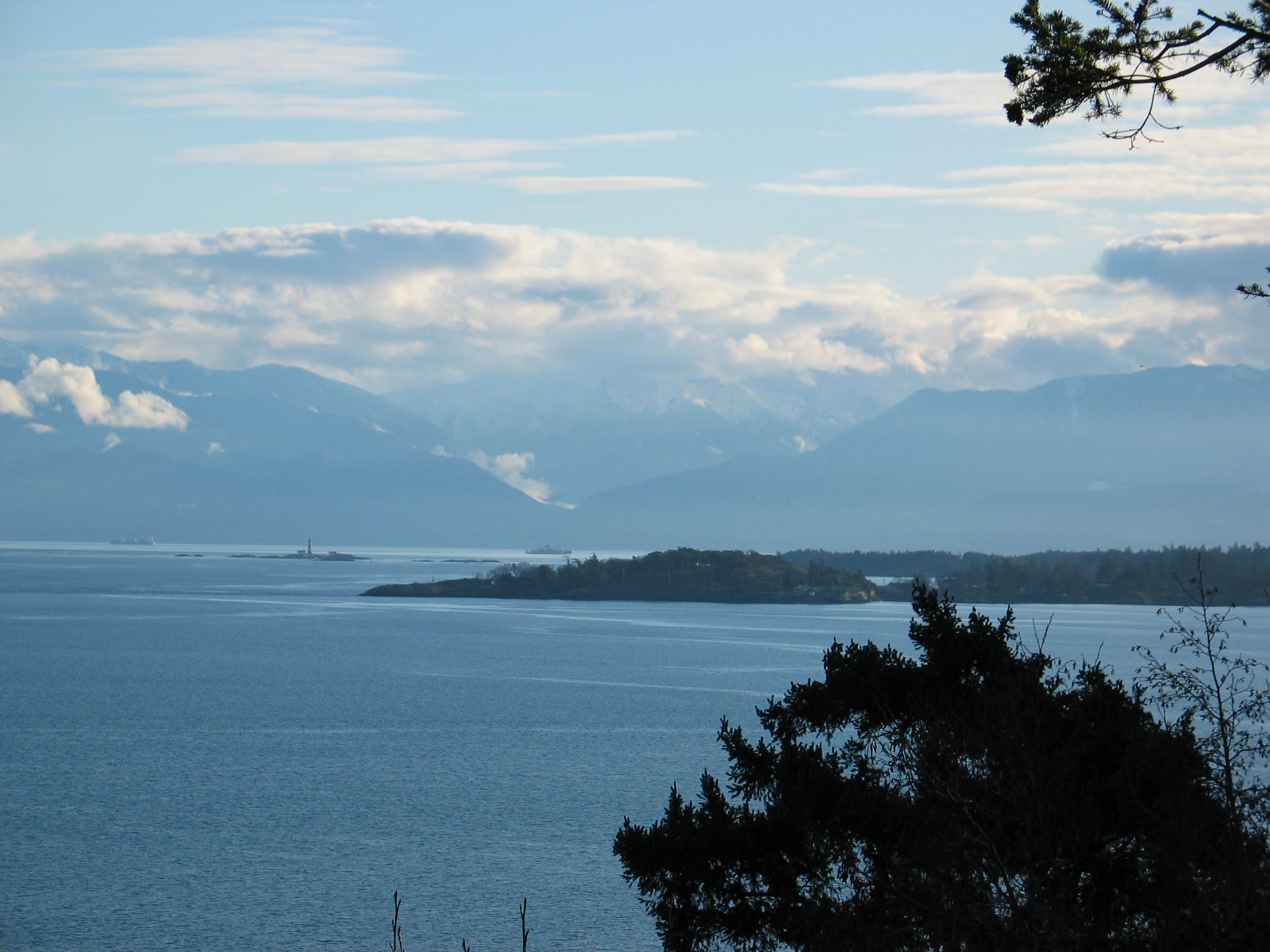
- Race Rocks from the mouth of Pedder Bay. Race Rocks from Sea-Bluff Trail with the William Head Peninsula in the foreground
-
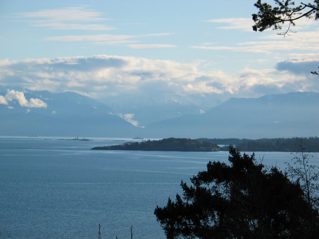
- Race Rocks from Mount Blenkhorn

Rocky Point / Bentinck Island area Anthropogenic Impacts on Coastal Habitat
-
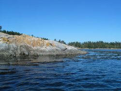
- The DND has placed concrete blocks along a pocket pebble beach shoreline. Presumably the purpose is to prevent erosion of a roadway that comes close to the berm. Unfortunately such solid seawall structures may induce scouring of beach materials as waves hit with an impact on the seaward side.

-
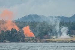
- DND blasting occurs for the testing of explosives on the central isthmus of the three lobes of Bentinck Island.
-
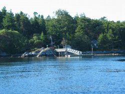
- Small DND floating dock with minimum impact. Overwintering water fowl favor this protected inner habitat. Buffleheads, and Western Grebe are common winter residents. See the Christmas Bird Count records of this area:
-
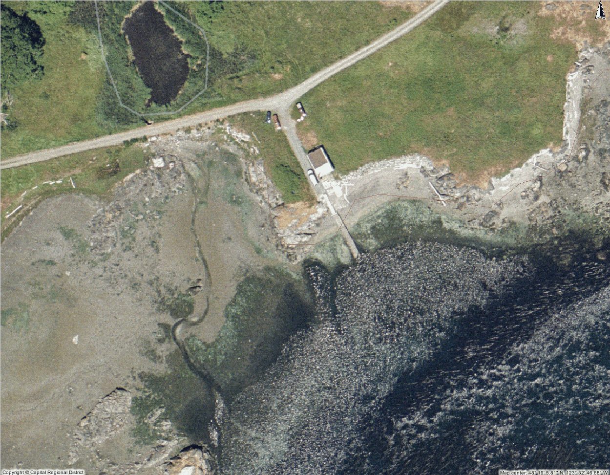
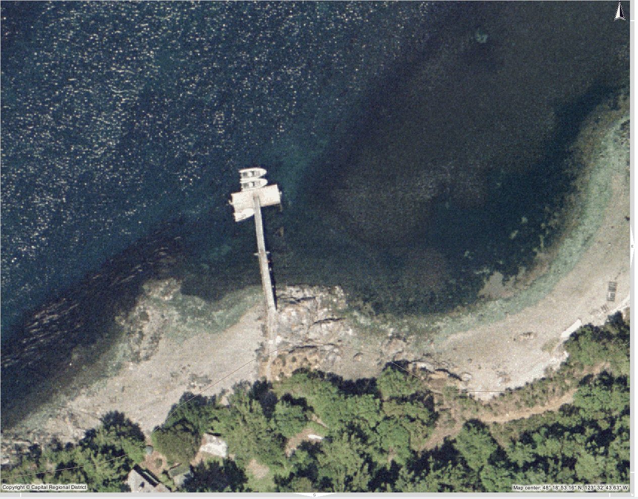
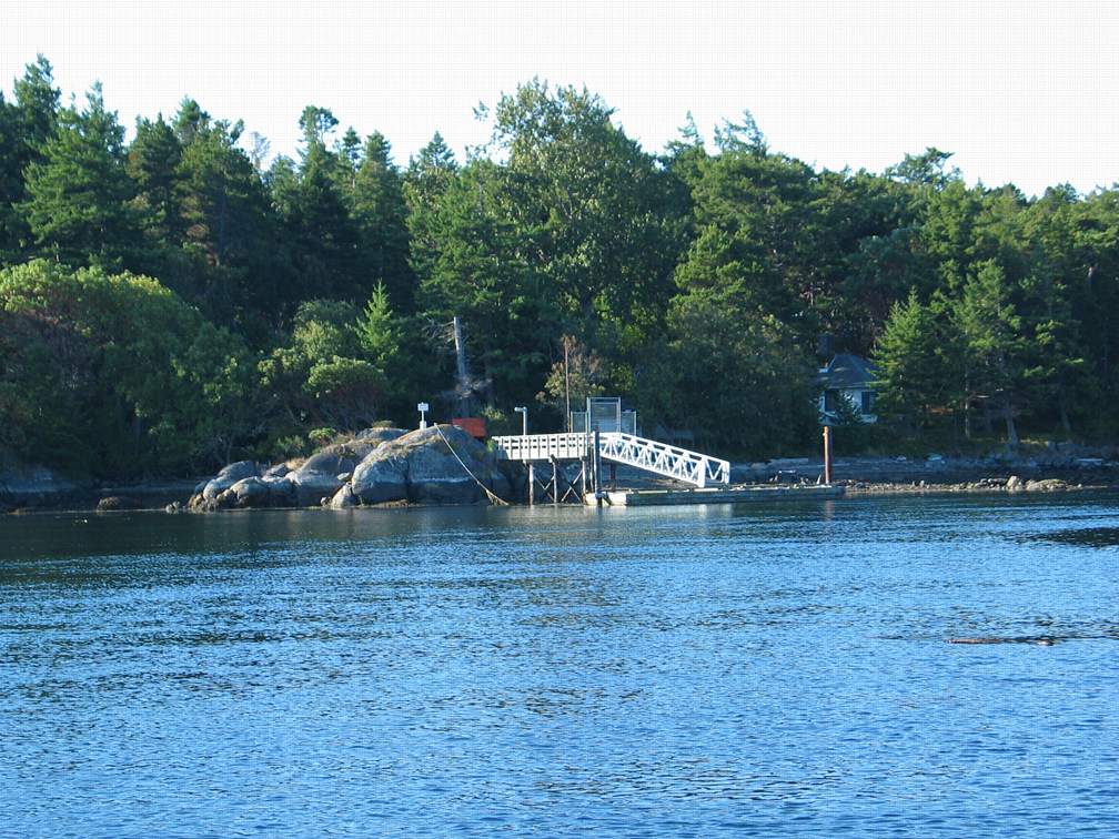
- DND dock. Concrete dols mitigate the problems usually caused by leaching of contaminants of carcinogenic contaminants from creosote treated dols. The house at the head of the dock was once used by the doctor and nursing staff of the Leper Colony.
-
- DND demolition occurs close to the shoreline in Eemdyk passage. This location is used for ordinance disposal.
-
- Burning by DND February 2013. near the beach

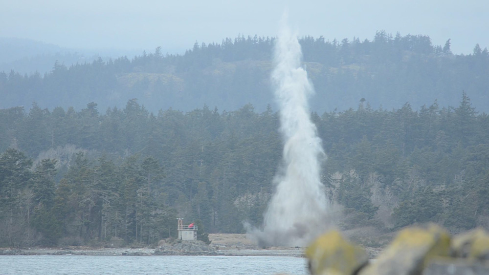 Bentinck island is used by the Department of National Defense as both a demolition range and a testing range for explosives. On the South end of Rocky Point there is a disposal pit where other demolition occurs, and in Whirl Bay, behind Christopher Point, there is an underwater test site. The size of the explosions is supposed to be monitored and controlled , however, we invariable get widely varying impacts.
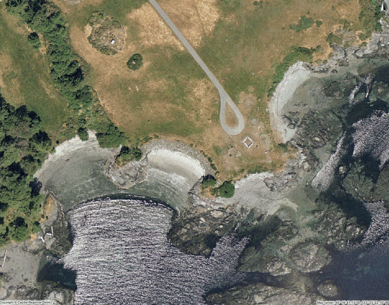
SECTOR 2 Bentinck Island
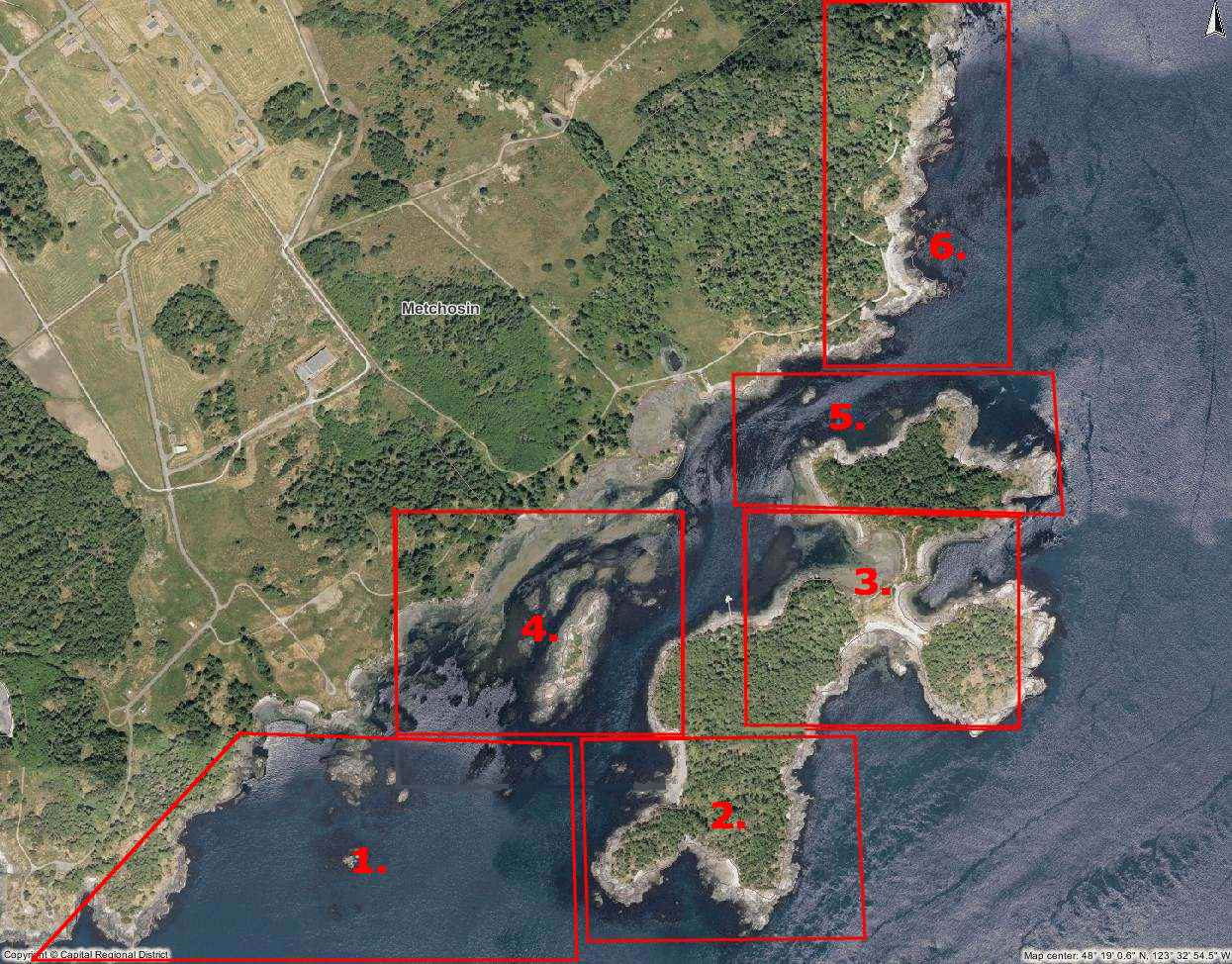
Aerial Maps Courtesy of the CRD Natural Areas Atlas
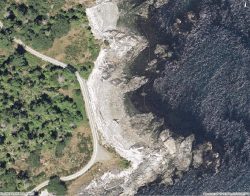
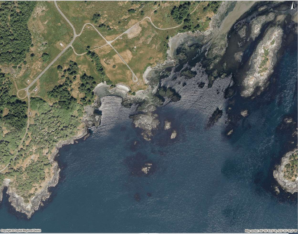 1. South Entrance to Eemdyk Pass
-
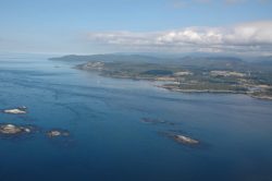
- The south side of Bentinck Island with Race Rocks in the foreground

-
- The cleared field is part of the DND facility.

-
- Entering the Bay inside of Christopher Point.

-
- The Doctor’s House from when this was a leper colony, still stands just up from the military docks on Bentinck Island
-

- This is pilot bay n the south East side of Bentinck Island. The shipwreck Barnard Castle lies in these waters.
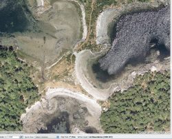
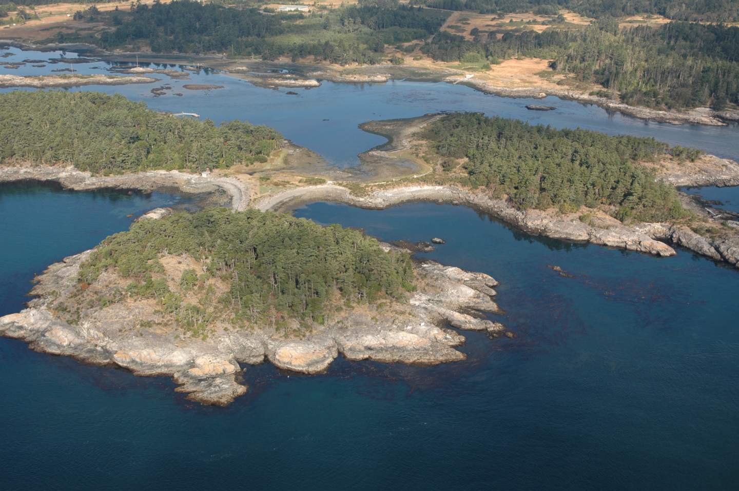
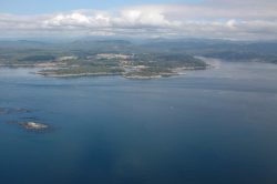
 3. Central Bays and east lobe of Bentinck Island
-
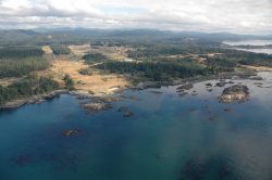
- View north through Eemdyk Pass. At low tide you can almost walk across this passage. Moon snail egg cases are found on the sandy bottom

-
- The east lobe of Bentinck Island, viewed from the East.
-
- View looking to the north with Pedder Bay in the upper right distance.

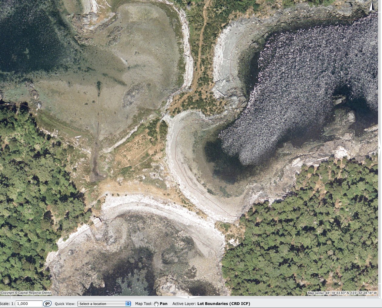
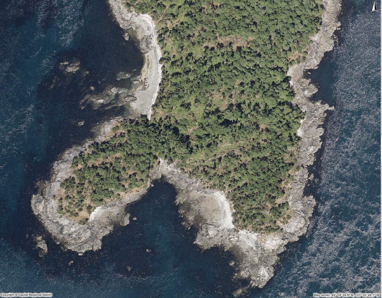
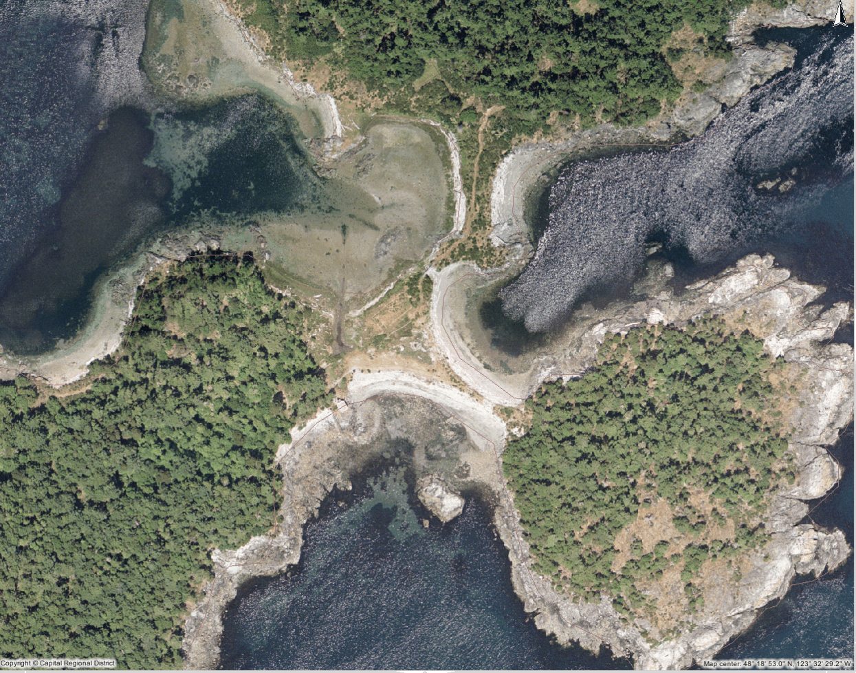
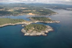
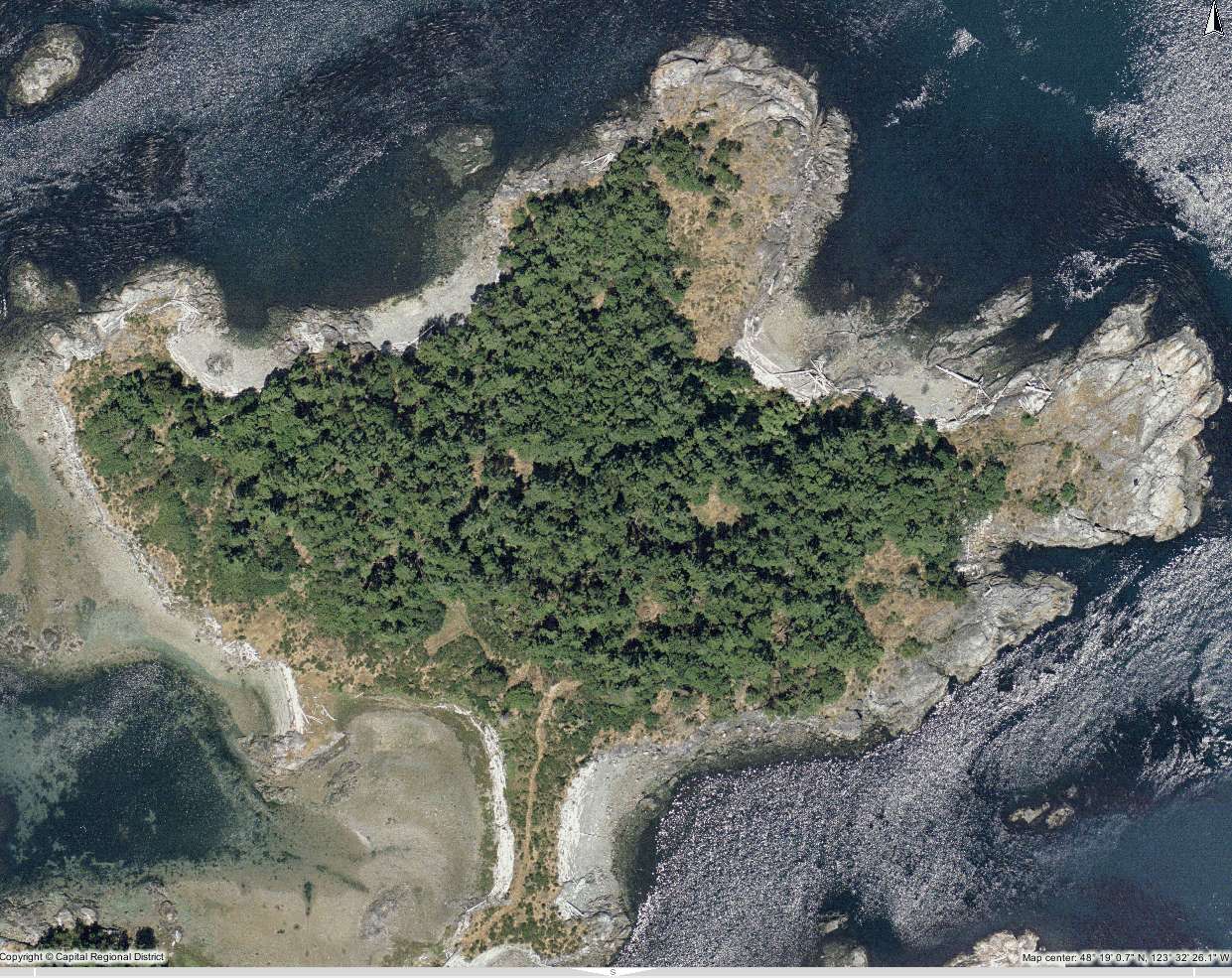
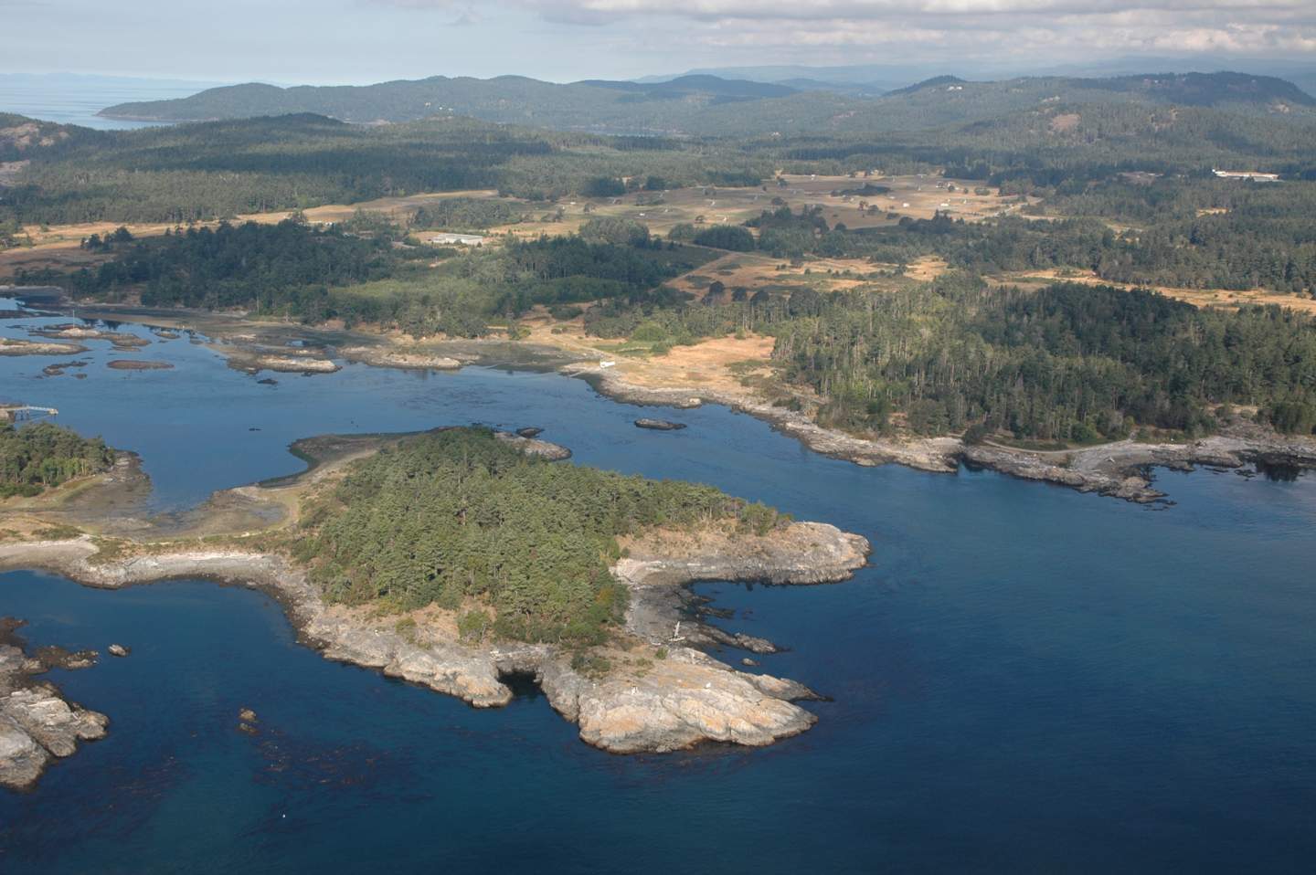
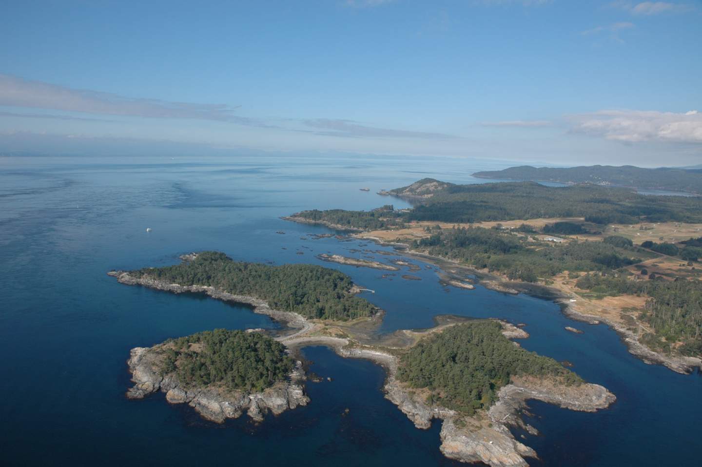
 4. Central Island in Eemdyk Passage
-
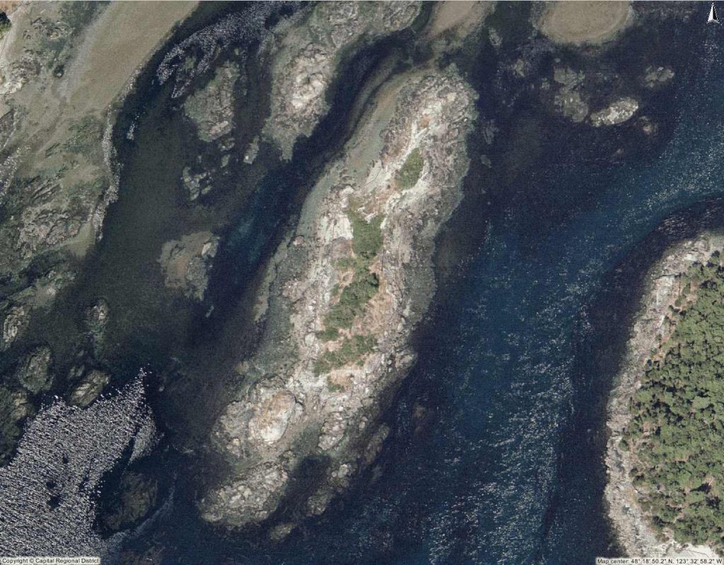
- The vegetation on this island is pristine with native plants, since it has never been grazed. The trees are mostly stunted from the effects of salt spray from winds from the west. For instance, one large Garry Oak hugs the sloping rise on the western side, less than a metre from the ground but 10 metres long. The only human evidence is a burial cairn and a power pole.

-
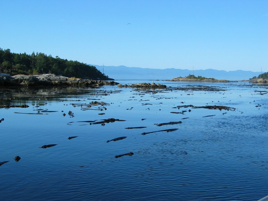
- Eemdyk Passage. At slack tide the Nereocystis leutkeana floats on the surface. When the current gets to 5 knots, it is dragged down..
-
- The island in the centre of the channel with the hydro pole on it . This has remarkable examples of Krumholtz vegetation, with exposure to the salt spray from storms in the Strait
-
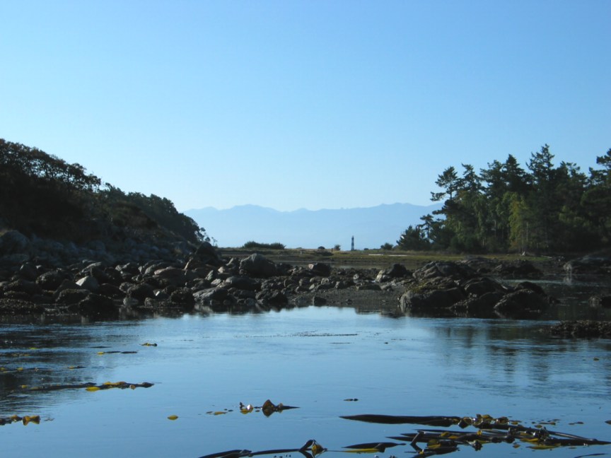
- Going through the channel, Race Rocks shows up briefly over the isthmus of the three lobes of the island.
-

- Bentinck Island with Rocky Point DND facility
-
- A view to the southwest over Bentinck Island
-
- North Rock to Bentinck Island
-
- The northeast point of Bentinck Island
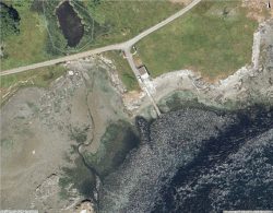
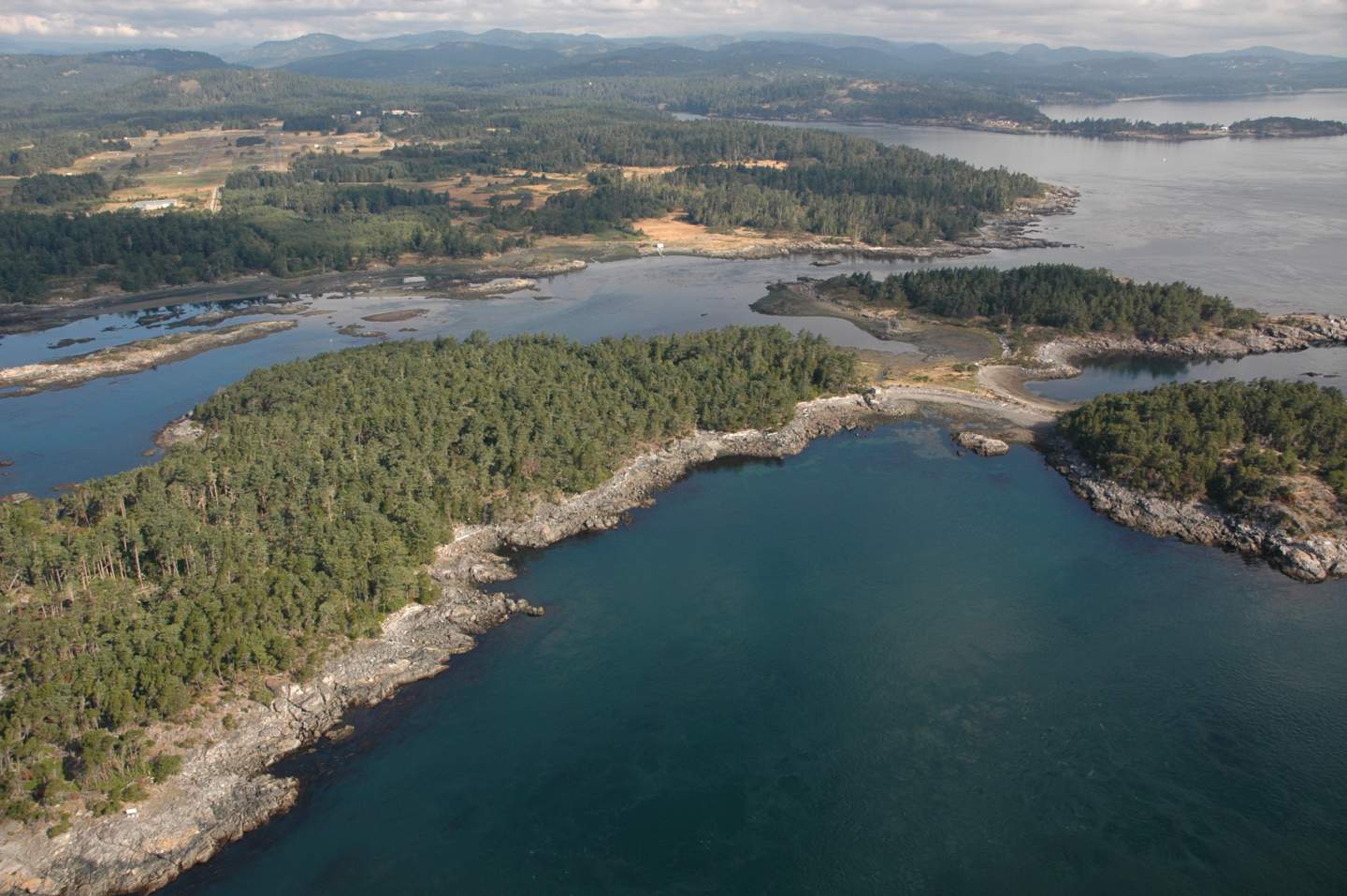
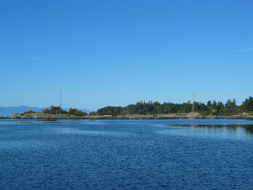
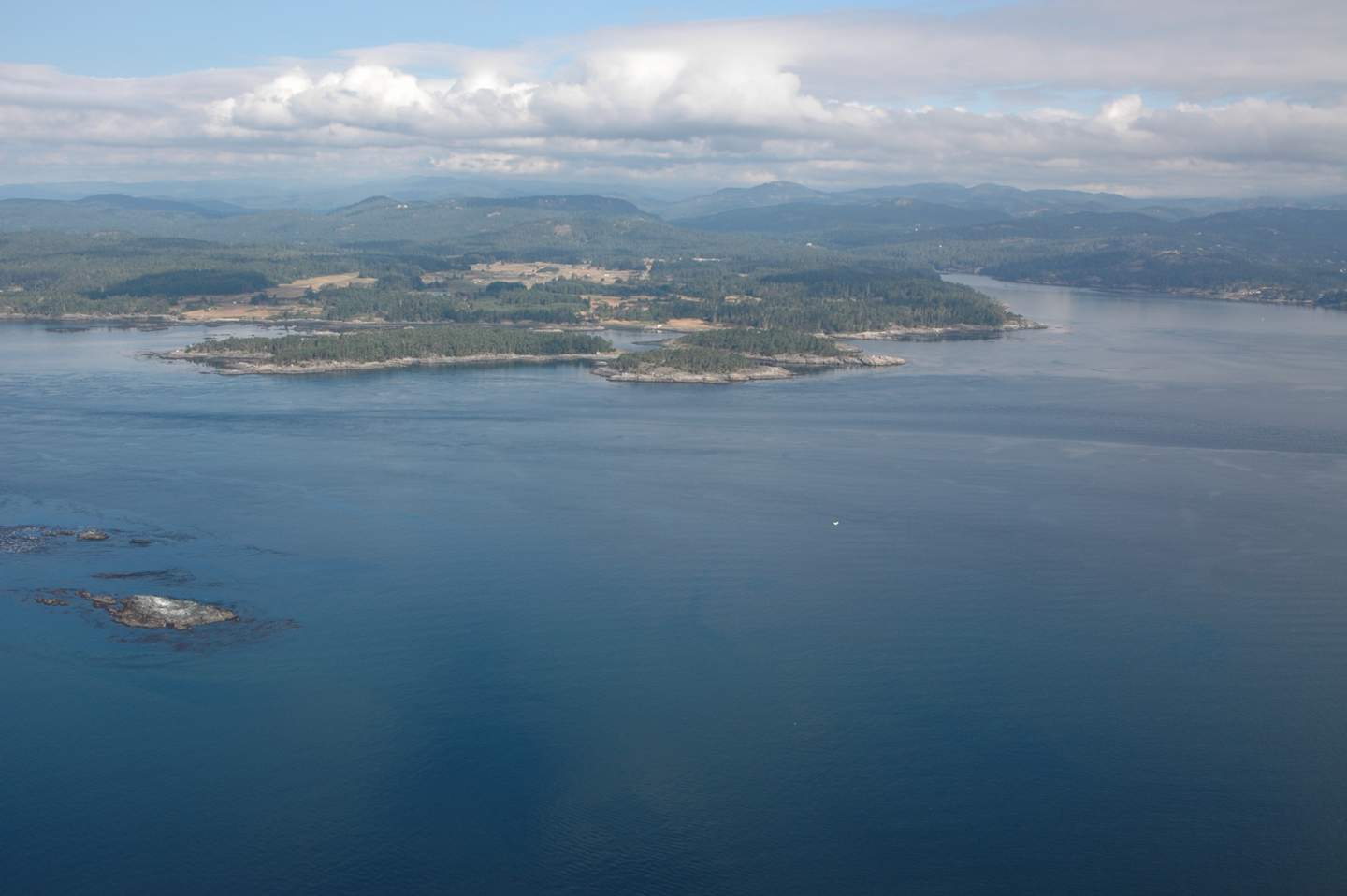
 6. Rocky Point Shoreline between Cape Calver and Edye Point.
-
- Rocky Point between Cape Calver on the right and Edye Point on the left. The view is toward the west.
-
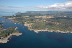
- Bentinck Island on the left with Eemdyk pass separating the island and Rocky Point

-

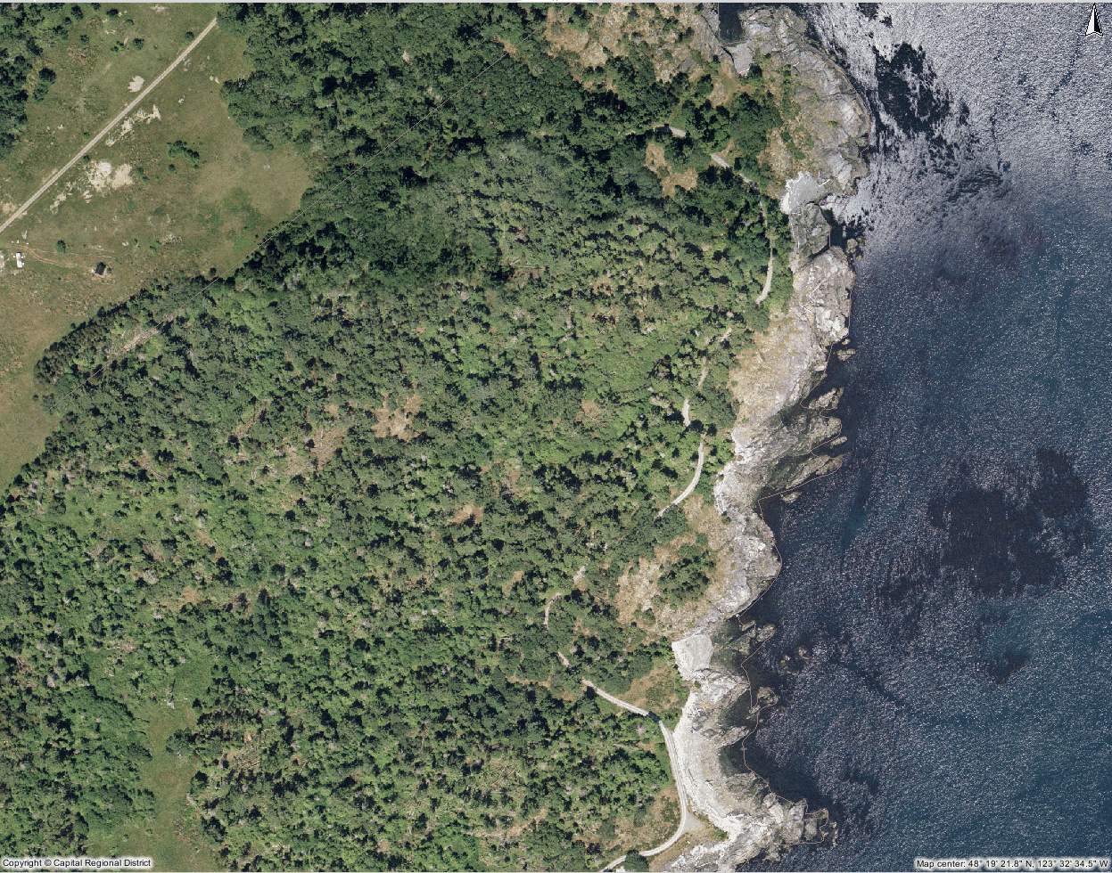
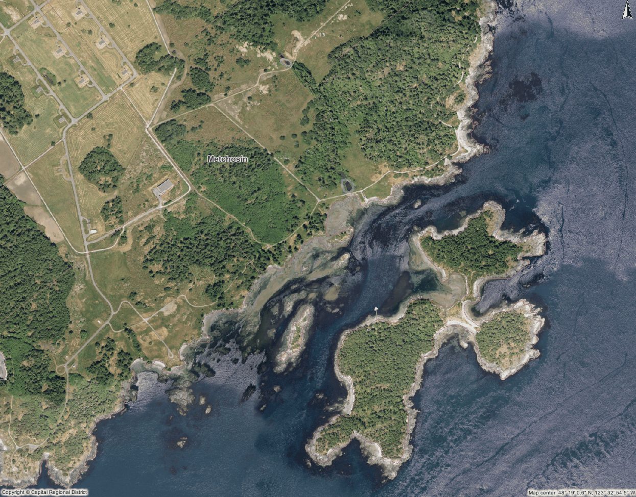
- Map of the complete area
-
- The DND has placed concrete blocks along a pocket pebble beach shoreline. Presumably the purpose is to prevent erosion of a roadway that comes close to the berm. Unfortunately such solid seawall structures may induce scouring of beach materials as waves hit with an impact on the seaward side.
The MetchosinMarine website has been created to represent the contiguous ecosystems of the Race Rocks Ecological Reserve/Marine Protected Area and for the use of the Green Blue Spaces sub committee of the Metchosin Environmental Advisory Select Committee (MEASC). Copyright: G.Fletcher 2013