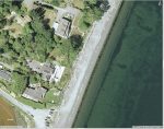
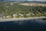
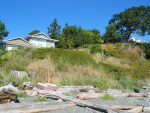
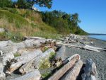
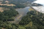
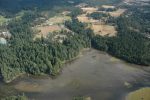
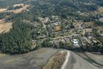
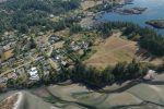
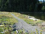
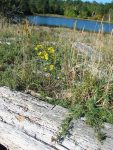
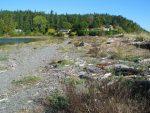
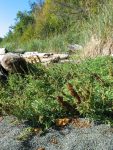
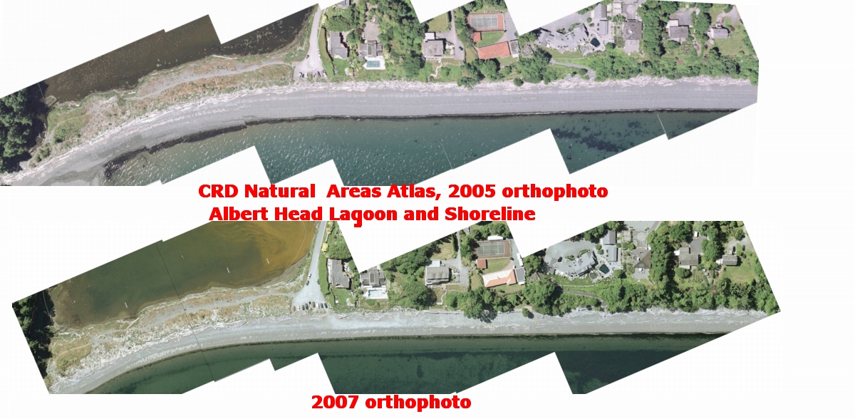
Anthropogenic Impacts Albert head lagoon and shoreline


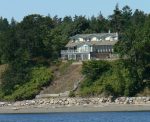
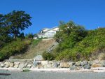
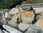
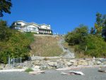
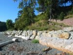
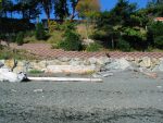
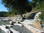
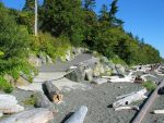
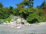
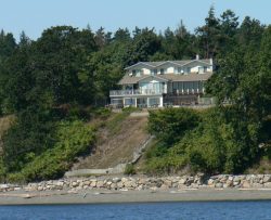
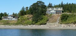
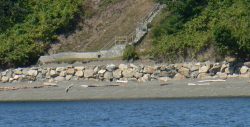
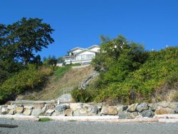
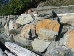
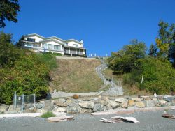
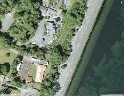
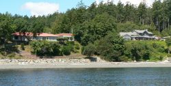
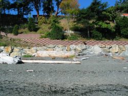
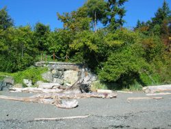
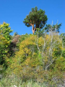
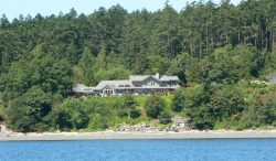
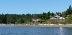
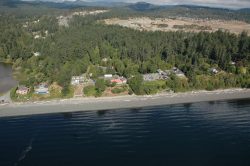
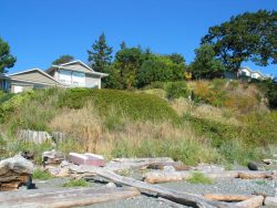
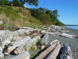
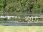
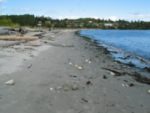
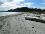
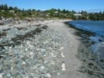
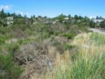
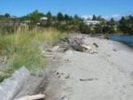
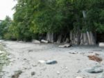
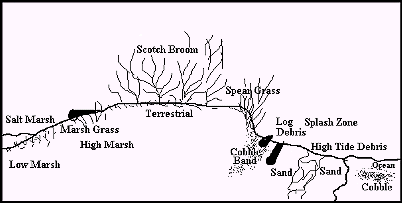
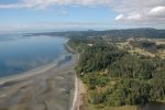
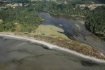
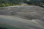
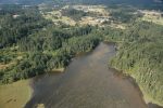
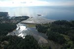
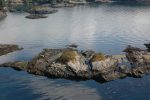
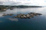
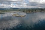
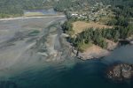
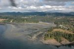
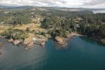
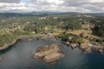
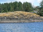
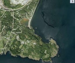
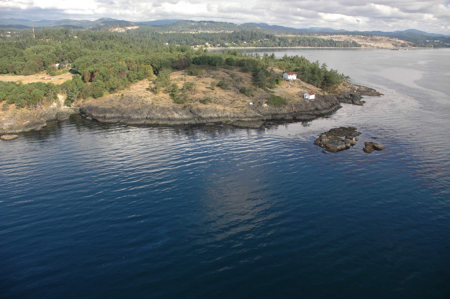
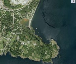
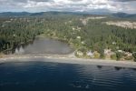
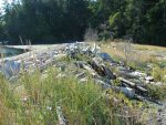
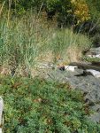
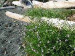
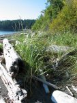
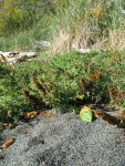
The two panoramas of the beach North of Albert Head were taken two years apart. These pictures demonstrate the incremental intrusion that happens in coastal areas when people are not sensitive to coastal ecosystems and coastal energy dynamics. The most stable shorelines which are resistant to erosion, are those which have an unconsolidated berm of sand, pebbles, rocks and logs, and a vegetated backshore area, with sea grasses and other plants adapted with long and intertwined roots which anchor the sand. Natural areas have evolved through thousands of years and are able to absorb the impact of storms, as well as providing essential habitat for invertebrates and fish.
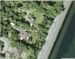
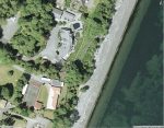
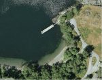
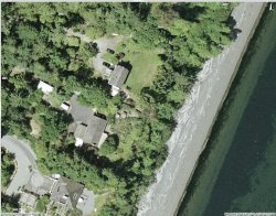
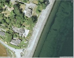
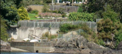
Clicking on the images above reveal more detail of 5 properties along the shoreline where modifications to the shoreline have been made.
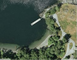
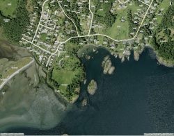
Aerial Maps Courtesy of the CRD NATURAL AREAS ATLAS


Panorama assembled from images from the GEOBC-summer 2007


This site has been created to represent the contiguous ecosystems of the Race Rocks Ecological Reserve/Marine Protected Area and for the use of the Green Blue Spaces sub committee of the Metchosin Environmental Advisory Select Committee ( MEASC). Copyright: G.Fletcher Marine Education Consulting, 2008
webmaster and educational director of racerocks.com


Sector 7: Taylor Beach, Witty’s Lagoon and Albert Head

Aerial views courtesy of the CRD NATURAL AREAS ATLAS

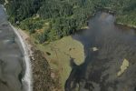
11..Witty’s lagoon/estuary and 10. Beach spitwittys

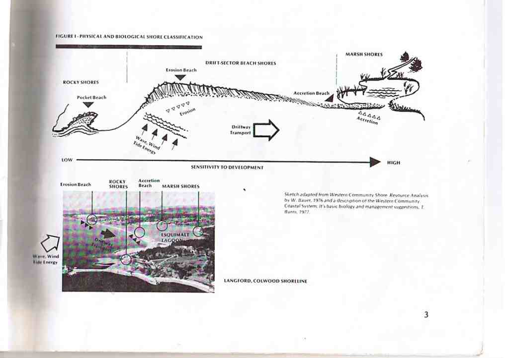
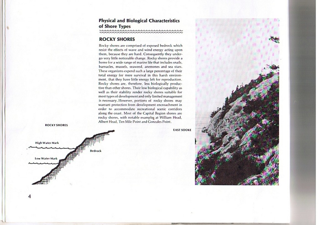
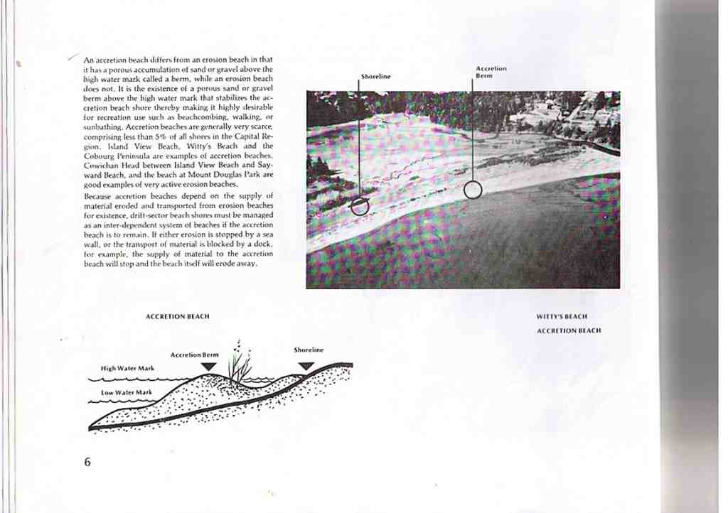
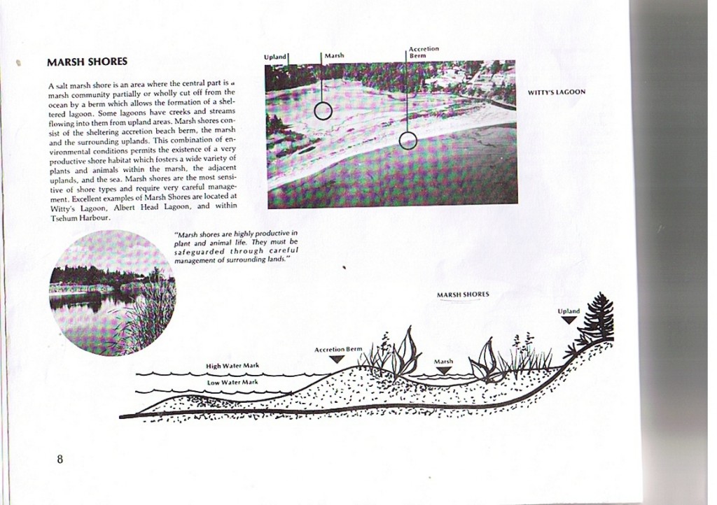
Witty’s beach is an accretional beach with materials supplied from long shore drift from the cliffs to the south. Behind the beach is a large tidal lagoon, and estuary fed by Bilston Creek.


Report on Witty’s lagoon (includes Ecology, geology etc. Waterose et al.

Link to the Witty’s lagoon Waterose et.al report


Link to the Anthropogenic Effects on this area


Link to The Wittys Lagoon Estuary and Beach Lab

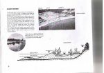
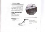
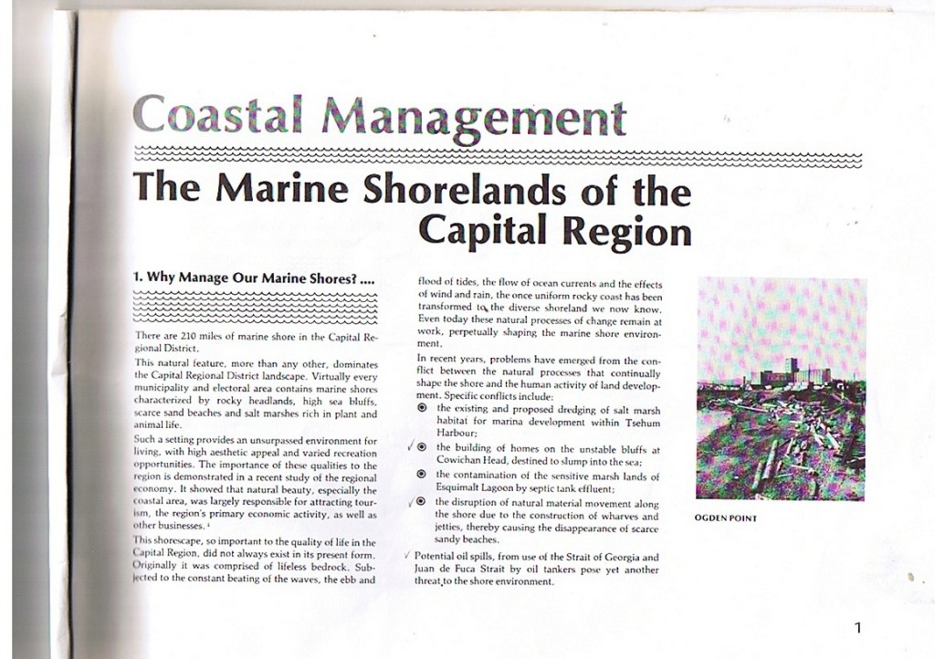
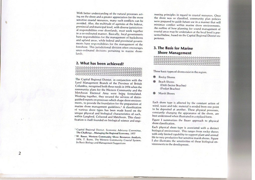
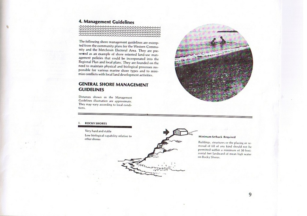
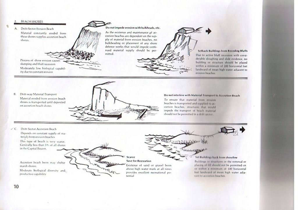
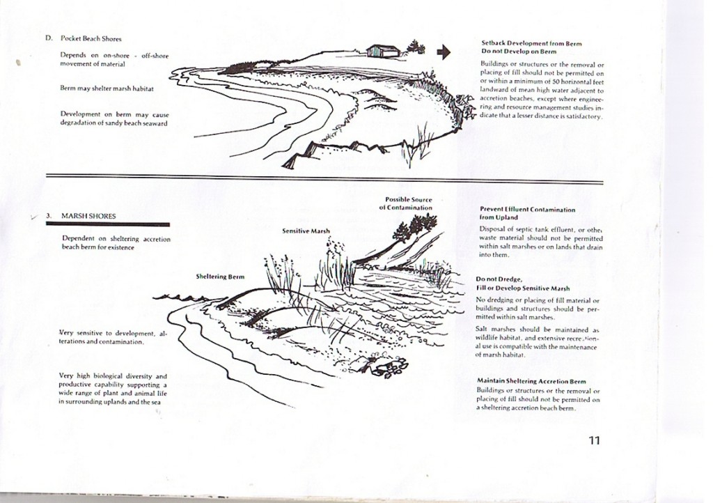
The following booklet was written in the 1970’s based on the report done by Dr. Wolf Bauer.

A panorama view from the inside of the spit on Witty’s lagoon

A panorama view of the narrow channel for tidal exchange at the end of Witty’s Spit.

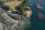
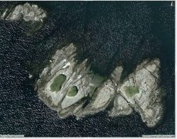
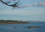
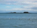
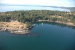
4.. Haystock Islands

Haystock Islands show some evidence of human occupation by First Nations in the past.


4.5,6,7.. Tower Point and Duke Road Waterfront
South of Albert Head


  • ** “You can also see excellent exposures of pillow lavas at Tower Point. On the Point and in the sea cliffs of nearby islands, the characteristic feature of the pillow basalts are well displayed in clean outcrops above the high tide line. These dark green, fine-grained rocks commonly contain amygdules filled with quartz and calcite, which appear as white spots up to 1cm in diameter. Several vertical, green vesicular dykes, up to 1 m. wide, trend across the point, and a minor east dipping fault is exposed on the western side of the point. Several outcrops display piles of basalt pillows with flattened bases and shapes that indicate they were squeezed together while the lava was still hot and plastic. You cans see conspicuous light grey to almost white boulders of granodorite, obviously (glacial) erratics, lying on the surface of the pillow basalts.”…..
  • “According to Nick Massey of the BC Geological Survey, the Metchosin Igneous Complex developed as an oceanic island, not unlike Iceland, about 54 million years ago. The pillow basalts exposed here as well as those at the Sooke Potholes… are only part of the complex….Many of the pillows seen in this area contain abundant, round white amygdules, which are commonly arranged in layers close to the margins of the pillows. These amygdules were originally vesicles that have been filled by crystals of calcite and other minerals. Vesicles form when gas, dissolved in molten lava separates from the liquid, causing it to froth. If the pressure of the weight of the overlying water is sufficiently great, the gas does not separate and no vesicles form. Thus there is a rough correlation between the depth below sea level at which the lava erupted and the vesicularity of the lava; with increasing depth, the degree of vesicularity decreases. From this relationship, we can conclude that the pillow basalts of the Metchosin Igneous Complex erupted in moderately deep to shallow water, but not as deep as the present Pacific Ocean Spreading Ridges.”
    2005, Yorath, Chris, The Geology of Southern Vancouver Island, page 114, Harbour Publishing.


5.South Side of Albert Head


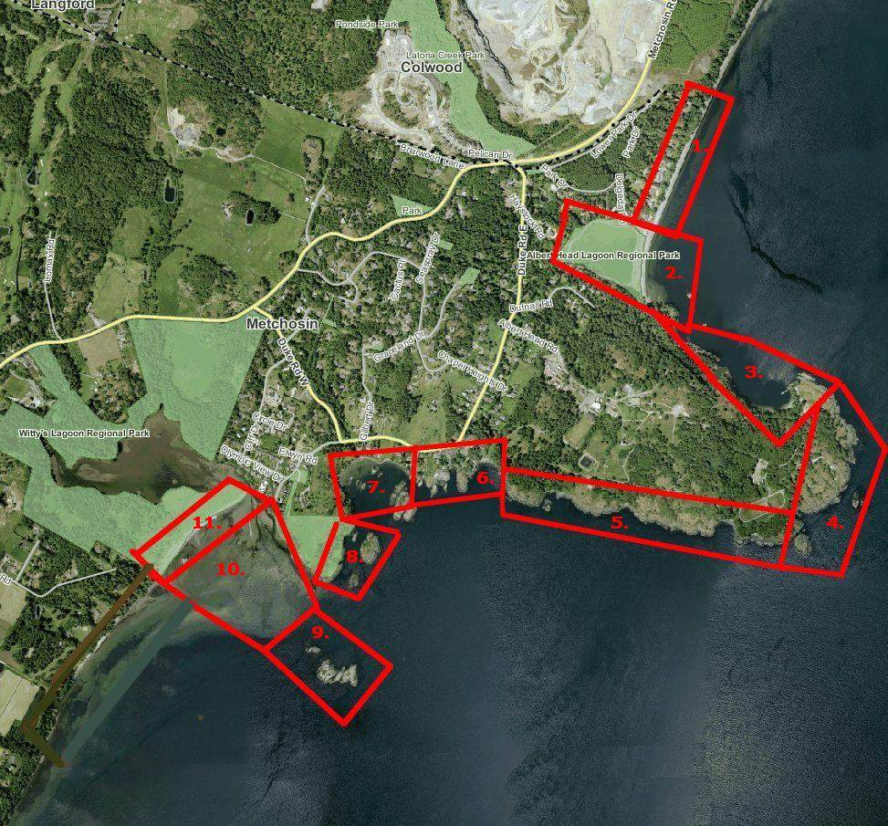
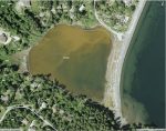
4,. Albert Head and 2 and 3 North Lagoon and 1.Beach


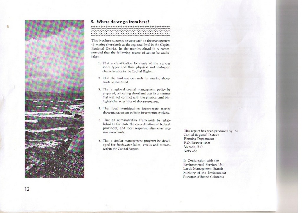
To the north of Albert Head Beach and outside of the boundaries of Metchosin District lies the gravel pit which is now in the stages of being close down, to be replaced by a large development .


Anthropogenic habitat modification from Witty’s lagoon to the south side of Albert Head.

Acknowledgements:

Anthropogenic Impacts Albert head lagoon and shoreline

Helicopter aerial views courtesy of GEOBC

The CoastaMetchosin website has been created to represent the contiguous ecosystems of the Race Rocks Ecological Reserve/Marine Protected Area and for the use of the Green Blue Spaces sub committee of the Metchosin Environmental Advisory Select Committee (MEASC). Copyright: G.Fletcher 2013 (garryf ( use at) gmail.com)


SECTOR 4: PEDDER BAY


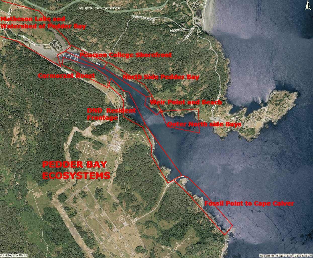
Aerial Map Courtesy of the CRD NATURAL AREAS ATLAS
Helicopter Images from GEOBC


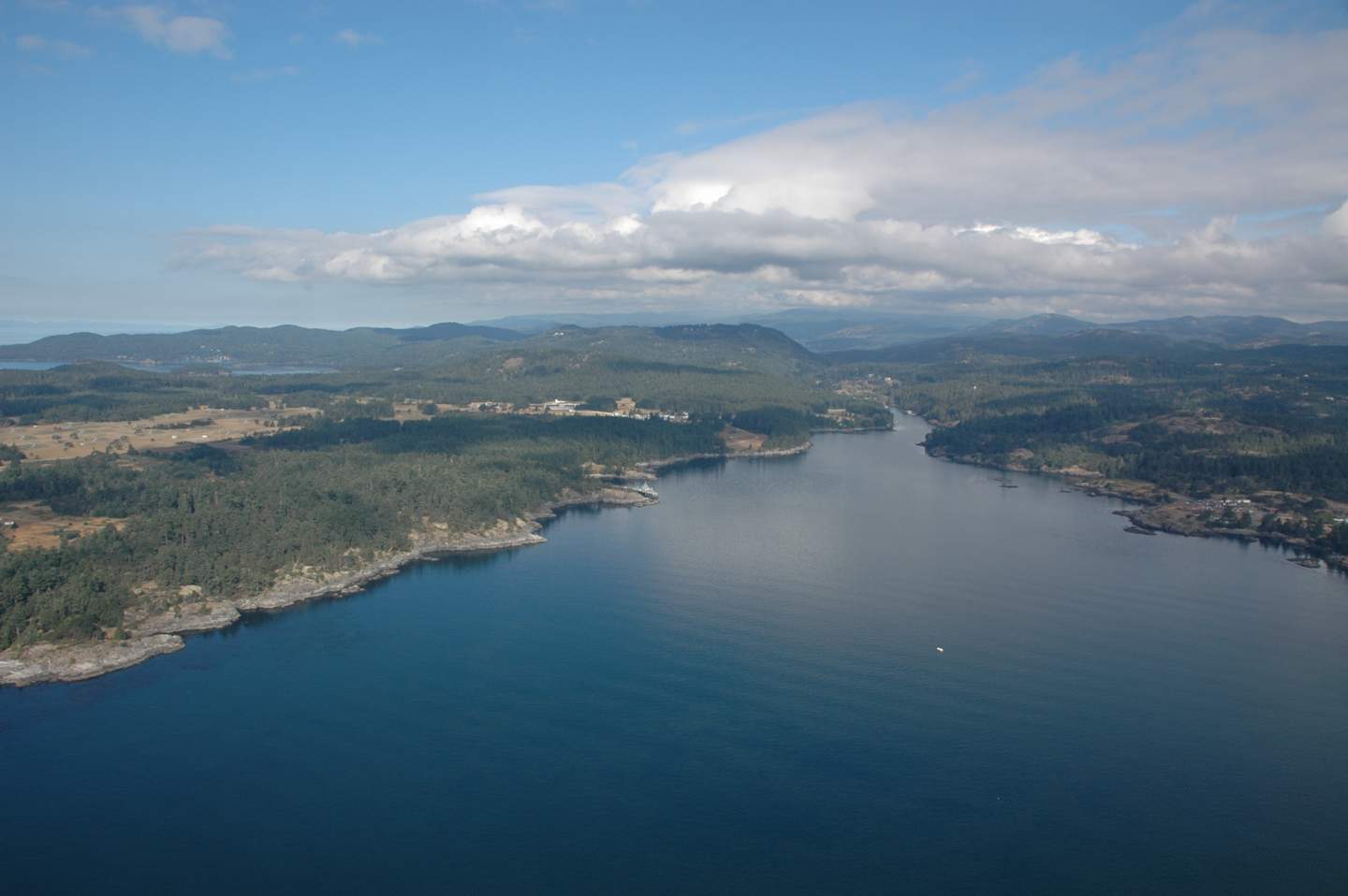
The geography of Pedder Bay and the exposure of its shores to the marine environment results in a number of contrasting ecosystems on the upland part of the shores. It also contributes significant materials to the marine environment and through four or five months of the year contributes a large volume of freshwater, acting more like an estuary than a regular bay. Click on the sectors of the bay above to jump to the sector pages.
Pedder Bay, British Columbia Wave Climate Study and Wave Protection Considerations
March 1991 Fisheries and Oceans report
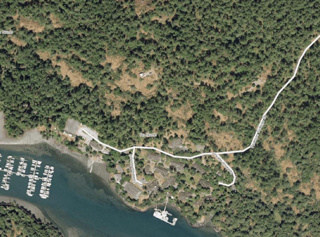
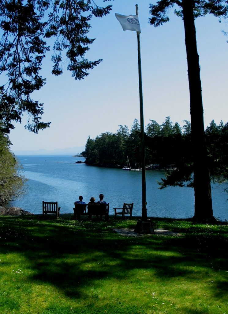
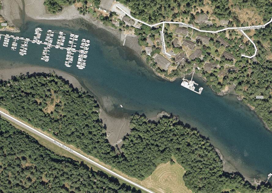
PEARSON COLLEGE SHOREFRONTLester B. Pearson College opened in 1974 on the north side of Pedder Bay on land formerly owned by the Department of National Defence . At high tide, most of the shoreline of the campus is rocky intertidal, however at low tide, mudflats appear along much of the shore.

The following is excerpted from the College reference guide ” The Road Ends at Our Place: The Ecosystems of Pearson College.

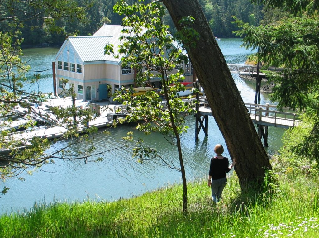
One of the first projects the students faced when the college was founded was to build the floating docks as their outlet to the sea. This provided for a rich marine environment program which has expanded since that time. College boats provide for field trips in the biology and environmental systems classes, and the afternoon activities in sailing, SCUBA diving and kayaking lead to an active seafront.

In 2003, the addition of the floating lab provided room for three more classrooms as well as a diving equipment room, workshop, office and storage space for the sea activities. The immediate access to the ecosystems of Pedder Bay make it an ideal facility for the life sciences.

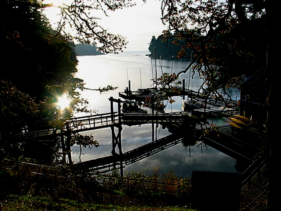
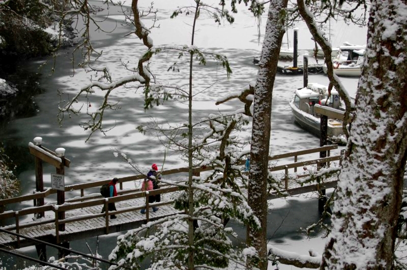
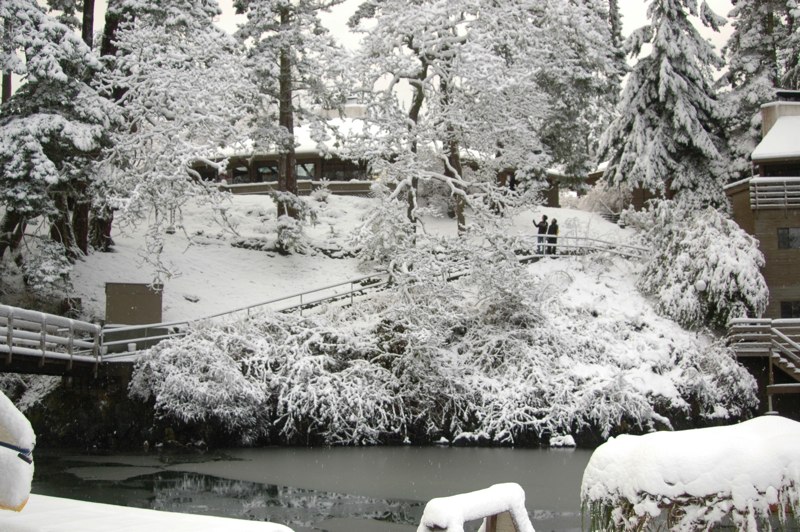
Only on rare occasions (once in ten years) do we get a week of cold weather and snow which causes the inner part of the bay up to the college docks to freeze over. The campus for a few brief days takes on a unique beauty when this happens. It also is a time when we can take advantage of the learning opportunity by having the students experience the unique aspects of “snow ecology”. For students from tropical countries who may never have experienced such conditions, there is a realization that snow has insulating features, can be breathed through, is variable in weight and density, and plants from temperate climates adapt to it in unique ways. Meanwhile down at the waterfront, unique patterns of salinity and fresh water can be discovered with ice formation.

The academic building viewed from the docks after one of those rare snowfalls that we get in Pedder Bay.


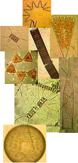
  • Plankton, Diatoms, of Pedder Bay

    Mudflats and rocky intertidal ecosystems of Pedder Bay

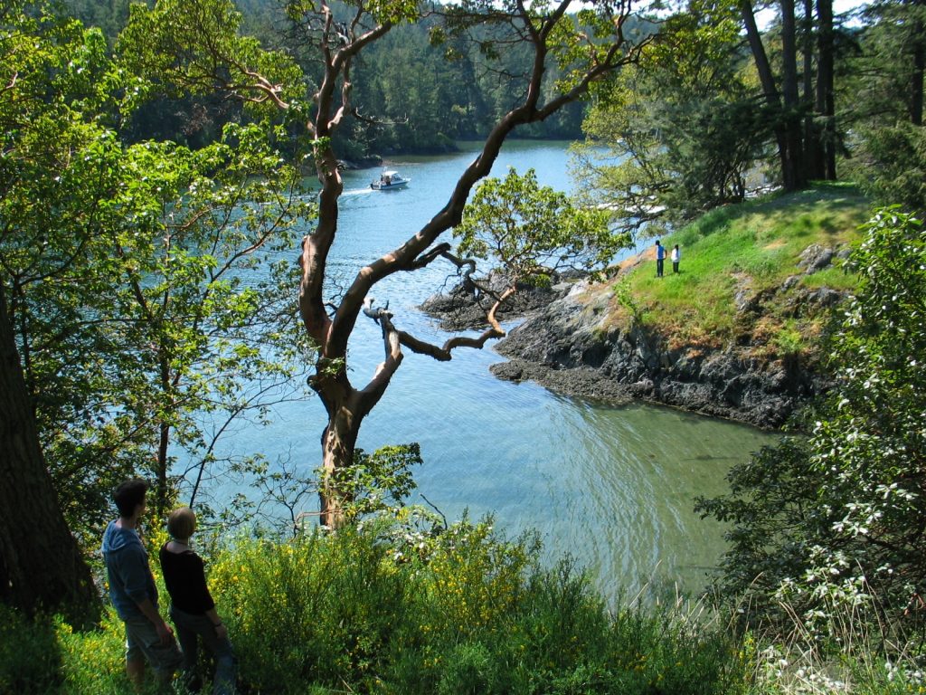
The shores of Pedder Bay provide more fascinating variety to our campus, and the profile of the bay changes considerably from low to high tide, a range of 3 meters. The water of the bay varies in temperature from 8 degrees Celsius in the winter to 13 degrees in the summer.

The mudflat in front of the sea front commons building is typical of the small inlets along the bay. It provides a rich habitat to mud-dwelling organisms and red-rock and dungeness crabs. Overhanging trees and trees which have fallen into the water provide the substrate for the bay mussel , Mytilus trossulus, and several barnacle species. Several species of limpet and littorine snails graze rocks in the intertidal zone and the large white anemone , Metridium farcimen, can be seen on the bottom of the bay, anchored to submerged branches or exposed rocks. All the invertebrates contribute their larva to the rich planktonic mix in the waters of the bay. The main producers in the bay are the large round centric diatoms, Coscinodiscus sp. but on different occasions under the microscopes of the biology students, a wide array of geometric shapes of other phytoplankton species will appear. Copepods and the nauplius larvae of barnacles make up the main zooplankton of the bay.
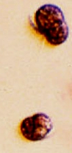
Mesodinium rubrumOften in the spring when the sunlight levels are adequate, the nutrient laden water from winter run-off may support a non-poisonous red tide. A deep reddish bloom caused by the organism Mesodinium rubrum will cover parts of the bay. This is a unique marine photosynthetic ciliate which can fix energy because it has a cryptophyte endosymbiontic red algae inside it. A good example of a mutualistic relationship occurring on a massive scale within the bay.

The Floating lab and docks provide a great amount of substrate on which a variety of organisms attach. These areas have also been useful for the science classes in providing areas for hanging baskets for aquaculture experiments. Within easy access there is a rich fouling community which provides many specimens used in classes. Almost every invertebrate phylum is represented on the underside of these docks. The plankton of Pedder Bay form the nutritional and energy base of the ecosystem.This file provides a lab assignment on quantification of plankton biodiversity .

The Seabirds of Pedder Bay


what


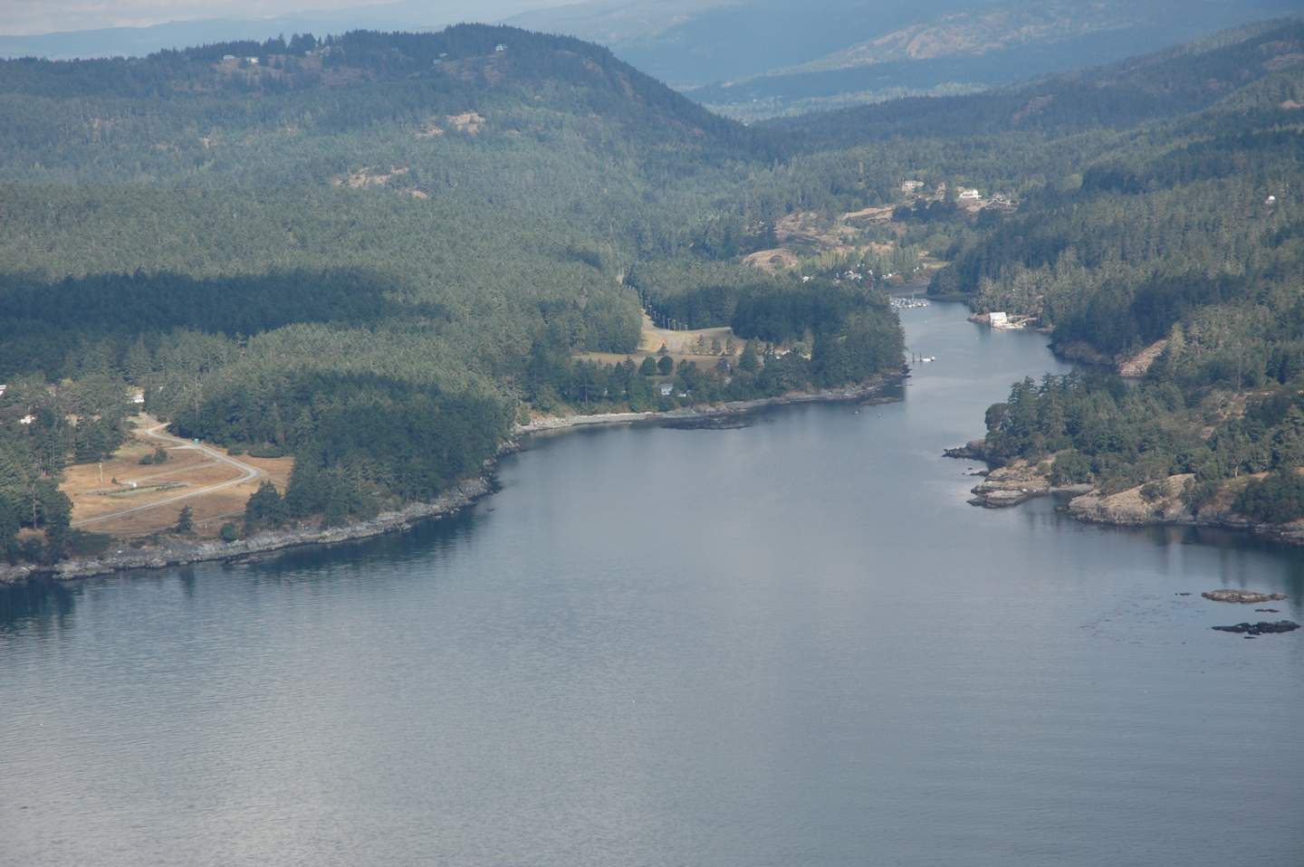
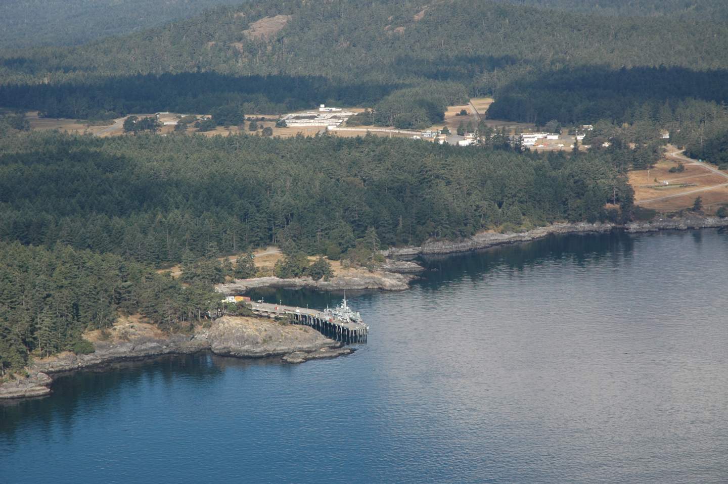
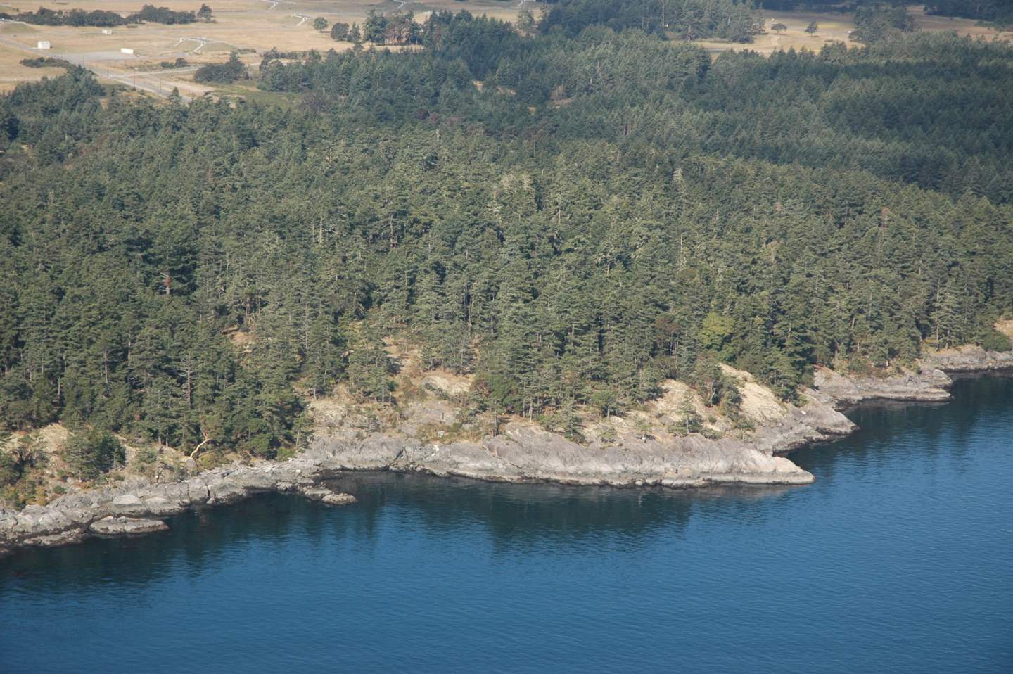
MANOR and FOSSIL POINT TO CAPE CALVER :
ROCKY COASTLINE
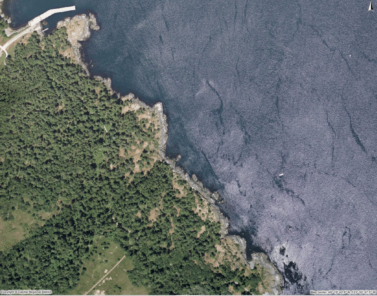
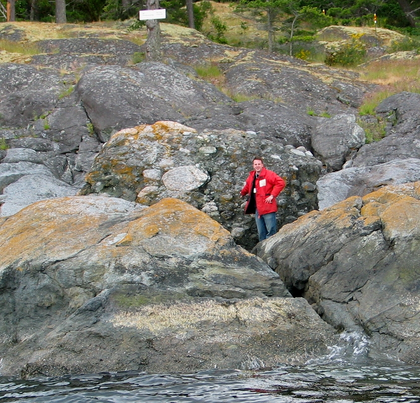
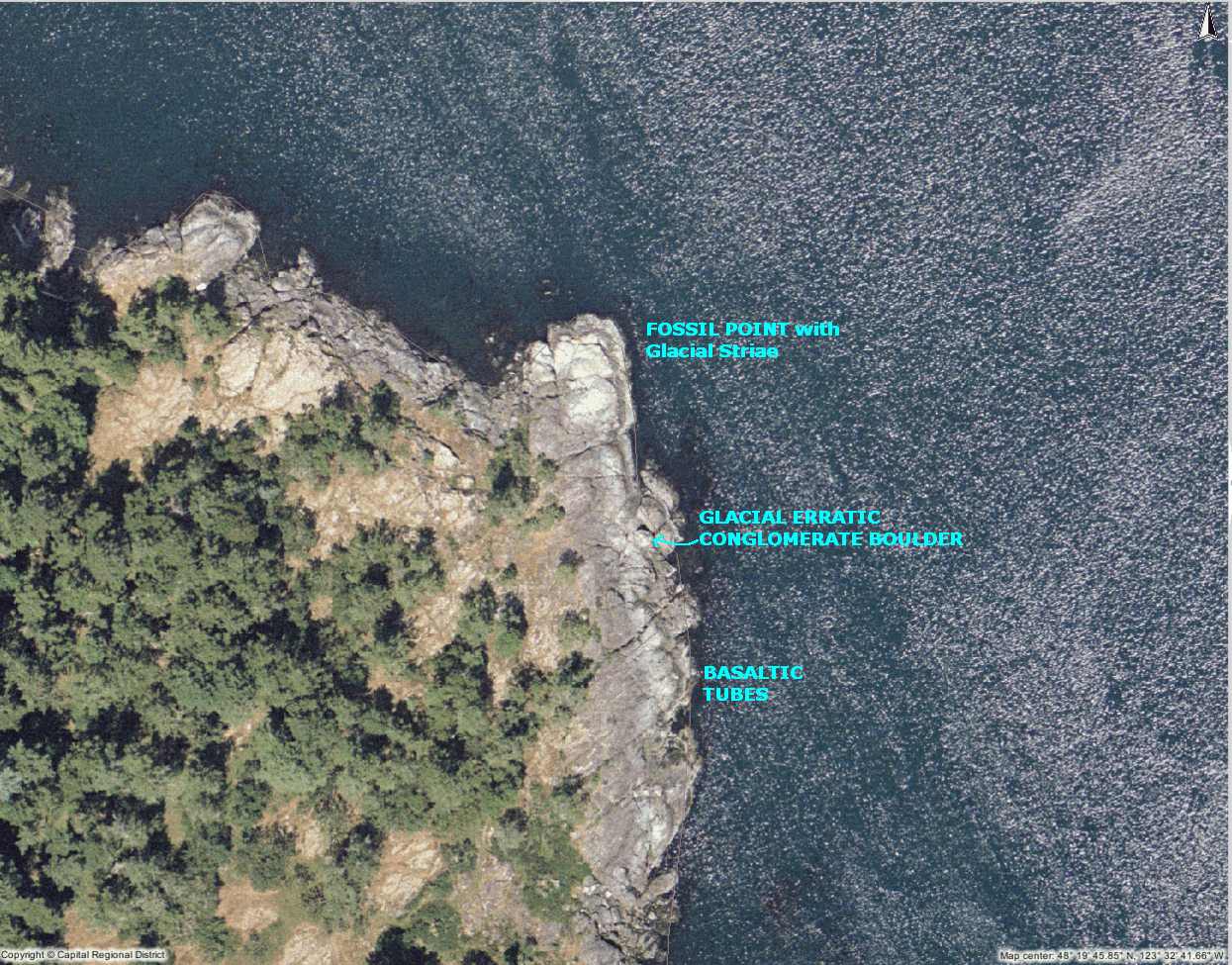
This section is notable mainly for it’s geological features. Here there is evidence of the most recent glaciation of 10,000 years ago: a massive conglomerate boulder on the shore and the glacial striae or grooves on the rock of the coastline. In other parts of the bay, granite boulders add to the collection of bits of glacial evidence

. Shore pine, Pinus contorta , penetrates along the shore into Pedder Bay from the outer parts of Rocky Point. In this outer section, salt spray is received above the intertidal zone in winter storms from the north east. The fetch, or distance across the ocean upon which the wind can impart energy in a storm is well over 50 kilometers for this outer section if a line is drawn from Cape Calver to a point in the open ocean beyond Victoria. Further into the bay from Fossil Point where there are more protected shores, the predominant tree cover is Douglas fir, and trees can grow closer to the water.

Metchosin Marine Issues, an Expression of Concern.

The Unique Value of our Coastal Ecosystems

The Coastal Resources of Metchosin are a valuable form of Natural Capital that must have special consideration when Development Planning is done in the District.   The Crown owns the foreshore to the high tide mark, and although one would think this allowed protection, there are still considerable threats to the ecological integrity of this area, which must be considered. The shoreline is an interface between two systems, the terrestrial uplands and the open ocean. As typical of any natural system, one cannot separate them in terms of management decisions, as they have processes, which interact.   Community members of a progressive coastal community should tolerate no activities involving human action that contribute to any level of destabilization or decline of our present shoreline ecosystems.

Along our shorelines in Metchosin, we have a variety of unique marine ecosystems.

  • Tidal marshes,
  • lagoons,
  • estuaries,
  • bays,
  • eel-grass beds,
  • high speed current channels,
  • underwater caves,
  • vertical underwater cliffs,
  • boulder beaches,
  • sand beaches,
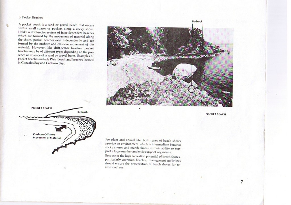
  • and pebble (pocket) beaches.

Every metre of coastal intertidal zone also has a characteristic set of organisms, which can be impacted by actions of humans either from the land side or the ocean side.  Larger commercial species of fish often feed or spawn near the shoreline interface, juvenile fish migrate along shorelines, often relying on protective habitat of overhanging vegetation or kelp beds, and the energy flow in the food webs of at least 7 local marine mammal species are directly affected.

It is further recognized that a viable commercial crab fishery, as well as an extensive sports fishery operates along the coastal areas of Metchosin.

Rockfishconservationareas19_20 The ocean environment in the area of Race Passage has also been recognized as an important habitat for the regeneration of Rockfish stock leading to the creation of a DFO rockfish conservation areas where all fishing is prohibited.


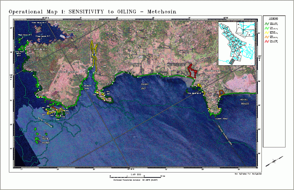
anthroimpactThis file and map of the the Metchosin Shoreline shows the major areas where humans have modified the habitat, often resulting in ecosystem modification and loss of habitat for local species of fish, invertebrates and marine mammals. The term Anthropogenic refers to human modification.


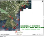
ecoareasThis file contains a map with the ecologically sensitive areas of Metchosin’s Coastal Ecosystems.
Terrestrial Threats:

  • Erosion from road building, utility and sewer installation, subdivision development carrying silt into the receiving waters has a negative impact on filter feeders (e.g. Clams, mussels and anemone) in the ocean.
  • Crushed rock deposited in upland areas in road building and building lot creation may have serious toxic impacts on marine life as water leaches through it carrying dissolved metallic ions to the sea.
  • Accidental or planned deposition of hazardous materials in soils can also lead to leaching to the marine waters.
  • Deforestation on upland slopes leads to deterioration of coastal ecosystems.
  • Channelization of streams leads to silt output and increased fresh water flow to ocean environments.
  • Human traffic, (especially horses) on beaches can severely impact on spawning areas of needle fish (on Taylor beach)
  • Uncontrolled dogs can have a serious impact on feeding patterns of shorebirds- especially crucial during migration.
  • Humans and dogs on beaches can impact on molting elephant seals.
  • Beach debris can be washed seaward, to be ingested by marine animals.
  • Oil and chemicals from storm sewer drains is toxic to marine creatures.
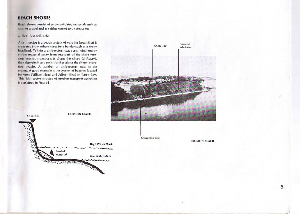
  • Building too close to cliffs can lead to destabilization and therefore slumping of land into the ocean. This is especially of concern along the cliffs of Parry Bay and Albert Head.
  • Sewage disposal on land in septic fields, contributes a large nutrient load as it leaches through to the shoreline. The heavy die-off of algal growth on Weir?s beach annually, is evidence of this.
  • Development on the coastline as has recently occurred South of Devonian Park can lead to alteration of the coastal resource, habitat smothering and destruction, and increases shoreline erosion risk.
  • Backshore alteration of any beach habitat for intended purposes of bank stabilization, inevitably in the long run leads to shorefront habitat deterioration.

Marine Threats:

Tanker traffic very close to our shores, poses a continual risk of oil and chemical spills. In the areas shown in the map, red indicates highly sensitive and a long term residency of oil. Yellow indicates a lesser residence time of oil. Green indicates a faster cleanup may be possible because of exposure to waves and currents. See this reference on Threats from tanker traffic 

  • Increase in cruise lines in recent years has a potential to impact our coastal resources.
  • Increasing fast boat traffic is hazardous to harbour seal pups and slow moving marine mammals (such as elephant seals) in particular.  It also increases rates of coastal erosion in sheltered bays.
  • Boat motor sound underwater affects animals relying on the underwater seascape for communication.
  • whalewiseWhale watching boating patterns have an impact on the time whales can spend foraging in the area.


  • Antifouling compounds on ships (some military) and in boats in marinas provide a further risk to the marine environment

Return to MetchosinCoastal

Originally published by G.Fletcher in 2004.

Marine and Estuarine Riparian Habitats and their role in Ecosystems in the Pacific Region

Canadian Science Advisory Secretariat Research Document 2001/109.

Colin Levings and Glen Jamieson, Fisheries and Oceans Canada

abstract
A.  introduction

in this paper we provide an assessment of the fish habitat significance of a particularly ecotone  of the Marine and estuary in Shoreline in British Columbia-locations were aquatic habitat at higher tides merges into terrestrial habitat. An eco-tone is defined as a son of transition between adjacent ecological systems, having a set of characteristics  uniquely defined by time and space scales, And by the strength of the interactions between adjacent ecological systems. Ecotones at the edges of lakes, streams, and rivers are well described by ecologists and are called riparian zones the word riparian is derived from the Latin word for River and is strongly embedded in ecological, legal, and environmental planning literature the following is a working definition of riparian habitat, adopted by DFO and MOV and parks in a recent document (2000) with fish habitat protection and area adjacent to a stream that may be subject to temporary, frequent, or seasonal inundation and supports plant species that are typical of an area inundated or saturated soil conditions, and that are distinct from plant species on freely drained adjacent upland sites because of the presence of water

See this PDF for the full article: MarineRiparianHabitats(LevingsJamieson2001)

PEDDER BAY IB GROUP FOUR SCIENCE PROJECT IDEAS

PEDDER BAY GROUP FOUR SCIENCE PROJECT IDEAS

January 21 1997

G.Fletcher

OVERVIEW:

  • Our overall theme this year for the IB Group four project as chosen by the first year science students of Lester Pearson College is Pedder Bay. Since we have had some experience with this region for some time, it is the intention of this file to lay out some of the possible themes within this project and to point out some possibilities for collaboration of members of the different sciences in the groups for the purpose of doing these preliminary studies..
  • It is expected that research could be either of the descriptive or the experimental variety. Both approaches are valuable when atttempting to understand a system.
  • It is suggested that in order to make this research of future lasting value as well as present value, some projects could seek to set up protocols for long term research and establish sites on the already existing Pedder Bay web site which would have permanent value for baseline and and a data bank for follow up information. In order to do this it is necessary to have the reports submitted in electronic form done in html, now quite easy to do because of the presence of the Adobe GoLive software on the college computers. Also word processing done in other formats can now easily be converted to basic html by these computers.
  • Students will also prepare a poster presentation for their final report, and it is suggested that the these posters be available for viewing in the dining hall as well as on the internet for several days prior to a general session in the dining hall when each group will be given time to respond to peer questions on their presentation.
  • It also should be obvious that individuals or groups may do further follow-up in-depth depth studies that would be appropriate as extended essay topics in any of the sciences. The amount of easily obtained data that we have at our fingertips here is potentially very great.


Pedder Bay as a Seasonal Estuary:

The distribution of the halocline, the freshwater-saltwater interface is quite pronounced at this time of year. It is easily determined by using the salinometer directly , or from samples collected and analysis in the lab. The halocline could have great variability in different parts of the bay- from head to mouth as well as side to side , and it could change in relatively short periods of time. It could be influenced by tidal cycles and there could be correlations made with rainfall. Also the mixing of water coming out of the river could have an effect on the salmon and bird habitat of the estuary. The Chemistry of all aspects of the sea water, pH, dissolved oxygen, nutrients could be examined. How well mixed is it or is there stratification. These factors determine life zones of the bay.

Bioluminescence in the Bay :

Timing , distribution , quantification of this phenomenon may be possible depending on conditions and time of year.

The Effect of Artificial Dock Lights on Organisms:

Experimentation with screening lights shining in the water to change intensity and color on the influence of the attraction of organisms would be possible.

Light Attenuation in the Water Column:

The visibility through the water column can be roughly measured by our Secchi Disk, a 50cm white disk which eventually disappears when lowered in the bay ( can be done from the docks) . It always has different depths of visibility if measured inside the bay versus the outer part. There is probably a very defined line in the outer bay where the visibility changes suddenly. A transect of measurements through this zone could give some interesting results.

There is another effect that we always note and that is large difference in plankton in the inner and outer bay areas. This difference is in species composition as well as population density. There is probably a correlation with several physical factors, the predominant one being the distance into the bay that the currents going by the outside of the bay actually penetrate, both laterally and at depth. This could be quantified and modeled.

Current Patterns in the Bay:

We often observe while diving that there is a counter-gyre at the mouth of the bay.. On an ebb tide, the water will come in along the south side of the bay as far as Fossil Point. turn north and flow out on the north side. This rotation may be the cause of the accumulation of the tide line drift flotsam in a tongue extending into the bay on some tidal exchanges. We have 10 buoys equipped with radar reflectors that can be used to accurately plot these current patterns. With Second Nature moored near fossil point, accurate trajectories of the drifters can be measured. There may be collaboration with people measuring plankton and turbidity levels to see if there are correlations of these factors.

What effect does the shape of the bay have on current velocities? Since the bay is generally half-funnel shaped, it should be possible to produce a mathematical model to predict the effect of shape on current speeds at different parts of the bay.

Effect of Boat Speed on Shoreline Wash:

Wave height, frequency and duration of inundation by shoreline species as the result of wash from boat traffic could be a significant factor in the Pedder bay ecosystem .

Wave Energy in Pedder Bay:

The shape,depth and orientation of Pedder Bay allows wave energy to have an effect on the different ecosystems within the bay. Calculations can be made for predicting Fetch and the effect it has on the widths of the bands of intertidal zonation.

Oil Pollution and Pedder Bay:

The very real possibility of some day having to cope with an oil spill in Pedder Bay is of some concern. We have recently been in consultation with Dr. Malcolm Hepworth who visited the college and introduced us to the idea of using Peat Pellets for oil spill cleanup. There is a possibility of doing small scale experimentation on the process of oil removal. Also there is a good opportunity here for extended essay follow up, and publication of useful research.

Chronic Oil Pollution In Pedder Bay:

The small amounts of oil residues from boat traffic is significant in some harbours. This oil can be collected by skimming with a commercially available absorbent material made for soaking up oil. Calculations of surface area covered by droplets of oils of various viscosity could also be measured. A survey of boat owners and bilge-pumping habits of their boats may also be revealing, and may help inform owners of alternate strategies.

Sedimentation and Sediment Dispersion related to Water Velocity

Cores of sediments taken on a line perpendicular to the shoreline might show a decline in sediment size or mass (easily measured by our particle Sieves and scales– screen size ranges from 4 millimeters to 40 microns available. Since sediment transport varies with current velocities, models about sediment deposition could be proposed and tested.

Some of the sediment is Biogenic ( barnacle shells), Carbon from old forest fires,

Anthropogenic: wood waste from log booms, erosion materials from the influence of human activities. Probably sedimentation rates could be calculated.

Terrigenous material, sediments from erosion further out at sea or along shorelines.

Glaciation Evidence on Pedder Bay Shorelines:

What is the extent of glacial evidence around the bay? There is a large conglomerate on fossil point,

granite boulders on Weir Point, glacial striations on bedrock around the bay. Calculations could be done on the forces required to transport these, and estimates of distances traveled could be made.

Alternate Energy Potential of Pedder Bay:

What is the volume of water that could be made to generate energy from Pedder Bay if a tidal barrage was installed at various locations in the bay ? What is the fresh water runoff potential if a dam was created on the Salmon Stream .

The Salmon Stream:

Since the stream is part of the input to the Pedder Bay system, it can be iuncluded in the study of the bay. Food webs in the stream, flow volumes of the river, temperature regime of the water as we go from early to late spring, these questions and more relating to this stream could be investigated. The waterfall itself has some potential for problems to be generated.

The Sewage System:

Both Biology and Environmental Systems students have already been through the part of the system that handles our liquid waste disposal. They have been made aware of the inputs and outputs of the system and the role of microorganisms in it’s treatment process.

Other areas to be pursued: Information is available on the model for dispersion of effluent from outfalls. There is a relationship between depth of the outfall and the rate of dispersal of coliform bacteria that is a bioindicator for sewage. Essentially a plume comes out that disperses like a cone . It could be hypothesized that the dispersal of this cone varies according to whether the tide is rising or falling, with a consequent ebb and flow of current. Samples of water taken at specific times and locations around the outfall could be used to test the model of dispersion.

  • Coliform bacteria can be cultured in the lab.
  • Fluorosceine is an effective dye for measure of dispersion. It can be added at the treatment plant. Possibly it could also be added in small increments directly into the outfall stream by a diver.

The outfall can be visited by diving and visual observations and measurements can be made.

In addition two other outfalls discharge into Pedder Bay: The Helgeson Point Outsell from the DND and the Pedder Bay Marina Outfall. Monitoring of dispersion of coliform could take place around those outfalls as well. Previous coliform tests by environmental systems labs have shown a higher occurrence of coliform in the vicinity of the Pedder Bay Marina itself.

Bird Life in Pedder Bay:

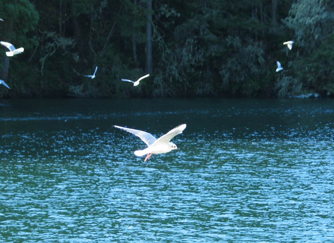
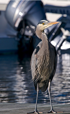
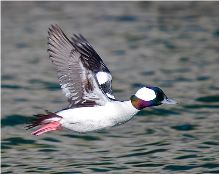
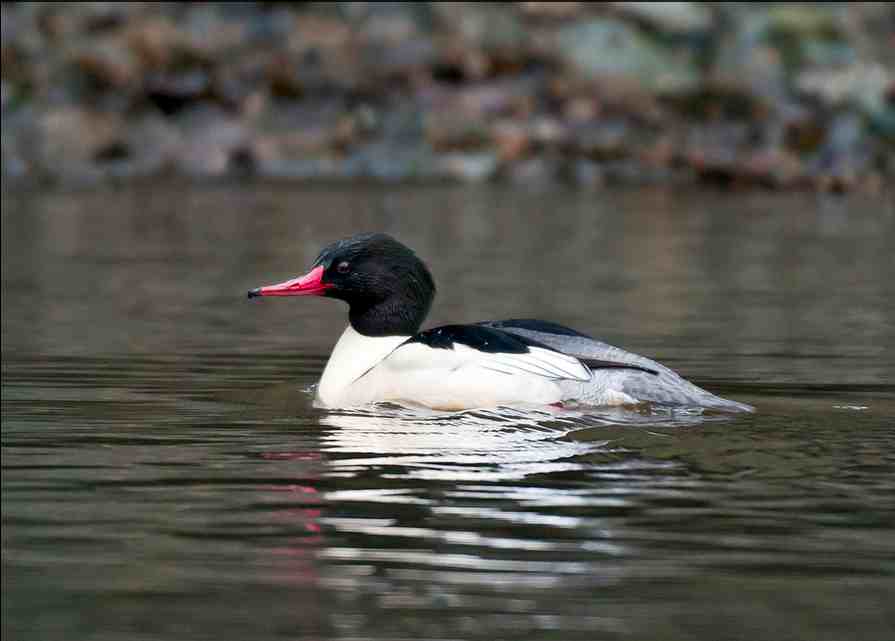
The bird population changes seasonally in the bay: several species of grebes, muralist, ducks and mergansers, as well as herons, kingfishers, buffleheads, scoters, and Rhinoceros auklets are residents . If the whole bay is considered as a bird habitat, it is likely that different species have different patterns of distribution. The locations of different bird populations , the timing and population levels of these and correlation to weather patterns has not been done. There is a concern that boat traffic, may already be impacting on these birds. In the future the specter of Sea-doos in the bay would no doubt seriously impact the birdlike. Some of the birds such as the Western Grebe, are one of the few bird species that nest on the Canadian Prairies and then overwinter in small protected bays. A good baseline study of these populations could be valuable for protecting them in the future.

The Cormorant Influence:

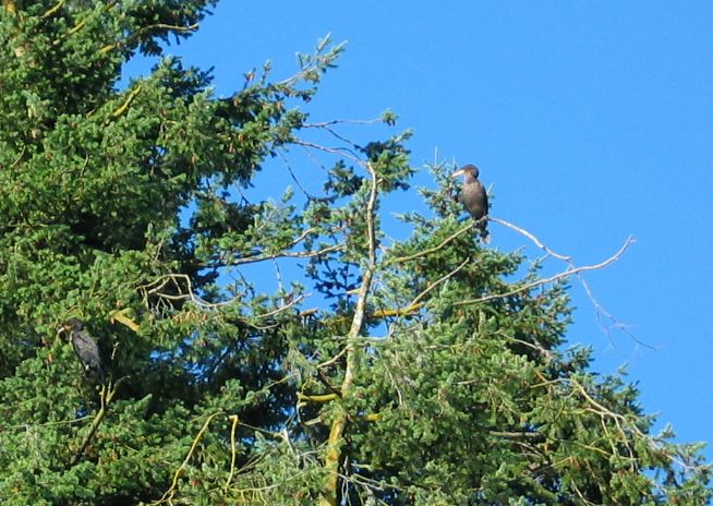
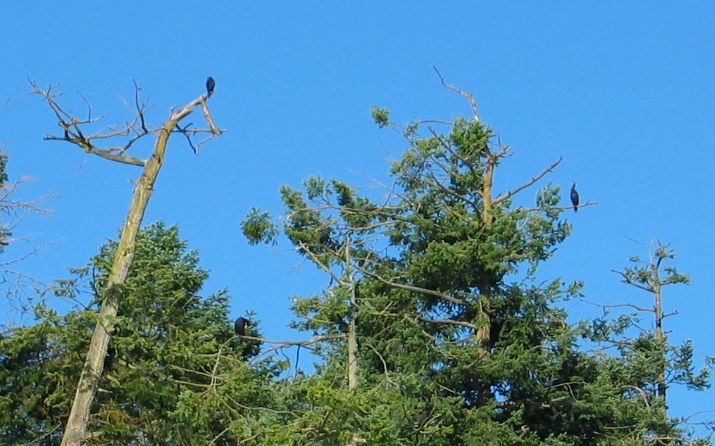
For the past four and a half years Cormorants have taken up roosting in the trees along the south side of Pedder Bay opposite the college. Recently we have referred to the presence of these birds as a major reason for seeking protection for that part of the forested strip from the possible effects of a campground and trail system proposed by the DND. At present there are no statistics on the actual number of birds using the site, the timing of their use and the effect of their use on the vegetation ( note: some Douglas fir are showing signs of crown death. ) It is possible that there is a considerable change going on in the soils of area with nutrients and acidification from droppings. A controlled study could be set up to monitor this .

Species Diversity:

There are a number of indices of species diversity available. Shannon, Simpson etc. Several sites could be chosen for a comparison of the effectiveness of these indices. Various ecosytems can be compared,: the fouling ecosystems on the dock skirt , the life on a square half-meter under the floats, distribution of algae relative to light levels, the rocky intertidal, the estuary plants or invertebrates, the tide lines on the small beaches ( abundant with amphipods).

Invertebrate and Algal Distribution and Biomass in the Intertidal zone:

Permanent monitoring plots could be established whereby weekly cropping of Fucus , the brown algae, could lead to productivity comparisons of different regions of the bay… Correlations may be established with many other factors. north South side exposure, inner-outer bay influence, etc. Several permanent reference pegs drilled in by our students several years ago already exist along the side of Pedder Bay. At fossil point we have past records which can be contrasted with present populations.

Ecological Succession:

For many years, the students of the environmental systems classes have collected data on succession of the diatom community on glass slides suspended in Pedder Bay. The same process can be used to test the effect of different substrates and different chemicals on succession . We do have one commercial preparation , a wax called easy net which can be spread on substrates for controlling succession of fouling organisms . There has been a great deal of research by chemical companies and the military into different chemical coatings and materials that can be used to retard organism growth. Slower growth means fuel savings for ship hulls going through water.

Invertebrate Attachments :

Bay mussels are abundant on the docks, their use of the Byssal thread, an elastic-like substance could be a subject of an interesting study. Tensile strengths of these threads from mussels of different exposures could be compared.

Invertebrate Dynamics:

A number of invertebrates are easily obtainable for various studies of physiology. . A few are listed here:

Sponge: filtration rates

Mussels: cilia beating patterns

Tube worms, contraction strength, speed of withdrawal, light sensitive.

Shrimp: transparency allows internal dynamics to be observed, temperature variation can affect heart rates.

Barnacles: calculations of water volume filtering when feeding.

Anemones: these have a primitive nerve net which responds to touch- measurement of reaction times possible.

Heart Cockle: Escape response speeds

Crabs: decorator crabs have some interesting behavior related to dressing themselves for camouflagewhen exposed to different materials.

Kelp growth studies:

The growth parameters of algae transplanted onto substrates suspended from the docks can make an interesting study. Bull kelp can grow several centimeters a day. Direct measurement of migration of punched holes in the lamina is one way for this study. Also the translocation of nutrients can be studied by the transmission of weak solutions of radionuclides supplied in one area of the lamina or leaf. Marine algae are also a good source of biogas for energy, can production rates be calculated.
Measuring Abiotic Factors In Pedder Bay


Using the Salinometer to record a salinity in a depth profile

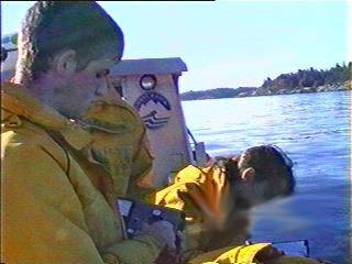
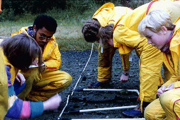
At Lester Pearson College in the Marine Science/Environmental Systems classes, having the Bay handy as an outdoor lab enables us to always do several labs on quantifying the Abiotic factors in Pedder bay. Two students made up this post to explain what they were doing in class. 

Interview of Gavin by Cedar, September, 1996

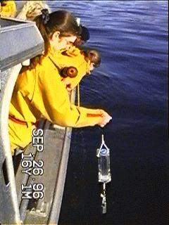
lowering a collection bottle for samples at depth

Cedar: Why did you choose to go out to Pedder Bay?

Gavin: We went to learn how to use different tools to measure the abiotic factors in the bay.

Cedar: What exactly are abiotic factors?

Gavin: These are the physical factors which affect the system, ecosystem. for instance, the salinity of the water at different depths.


Cedar: What do you use to measure the salinity of the water?

Gavin: We used a salinometer connected to a probe which we lowered into the water.

Secchi disk being lowered for water transaparenccy measurement

Cedar: How do you measure the other abiotic factors and what tools do you use?

Gavin: To measure turbidity we use the secchi disc which is basically a 50cm diameter disc with lead weights attached. We lower the disk until it was just out of sight , bring it back into view and average the distance to estimate the point where it disappears. The disk is raised and measurements taken.

To measure pH we first take a sample using a water sampler , then use a portable pH meter.


Abiotic and Biotic factors being measured using a belt transect on a mudflat in Pedder Bay

Pedder Bay, British Columbia Wave Climate Study and Wave Protection Considerations

Pedder Bay, British Columbia-Wave Climate Study and Wave Protection Considerations

Final Report
( THE FIRST FEW PAGES ONLY ARE PRINTED. The COMPLETE VERSION IS AVAILABLE FROM FISHERIES AND OCEANS )

Prepared for: Government of Canada, Fisheries and Oceans

Prepared by: W.F. Baird & Associates Coastal Engineering Ltd.

Ottawa, Ontario

March 1991

TABLE OF CONTENTS

1.0 INTRODUCTION 1
2.0 SITE BATHYMETRY 2
3.0 WATER LEVELS 3
4.0 CURRENT DATA 5
5.0 WIND DATA 6
6.0 WIND-WAVE HINDCAST 11
7.0 PACIFIC OCEAN SWELL 17
8.0 RECORDED WAVE DATA 19
9.0 WAVE CONDITIONS AT THE PROPOSED SITE 20
10.0 SAMPLE BREAKWATER CROSS-SECTIONS 22
11.0 CONCLUSIONS AND RECOMMENDATION 24
REFERENCES

APPENDIX A – WIND DATA SUMMARIES

APPENDIX B – DEEP WATER WAVE HINDCAST SCATTER DIAGRAMS

APPENDIX C – WAVE HINDCAST SCATTER DIAGRAMS FOR THE LOCAL CLIMATE AT THE SITE

APPENDIX D – WAVE DIFFRACTION DIAGRAMS

APPENDIX E – RECORDED WAVE DATA


1.0 INTRODUCTION

The Department of National Defence (D.N.D.) is considering the expansion of the existing facilities and the construction of a new jetty at Canadian Forces Ammunition Depot (CFAD) Rocky Point located on Pedder Bay. British Columbia. Pedder Bay is situated at the southern end of Vancouver Island and is open to the southeast to Juan de Fuca Strait, as shown in Figure 1. 1. Figure 1. 2 shows a closer view of the existing bathymetry and facilities at the site.

The site is directly exposed to waves generated locally within Juan de Fuca Strait, particularly by winds from the east and southeast directions. In addition, the site is also partially subjected to long period swells that propagate through the Juan de Fuca Strait from the Pacific Ocean and diffract around the Rocky Point headlands into Pedder Bay.

The overall objectives of this investigation were to define the wave climate at the proposed site and to complete an initial assessment of wave protection requirements. Specific tasks that were undertaken included:

Assessment of possible wave protection requirements for the proposed harbour.

The results of this investigation are presented in the following sections of this report.

2.0 SITE BATHYMETRY

The water depths within Pedder Bay and the nearby portions of Juan de Fuca Strait is described on a series of charts produced by the Canadian Hydrographic: Service , Fisheries and Oceans Canada,

The underwater topography (bathymetry) within Pedder Bay, as shown in Figure 1.2, is fairly regular with water depths in excess of 20 m at the entrance to the bay. Much of the bay. east of Watt Point, has water depths of approximately 5 to 10 m. Depths along the existing DND jetty range from 6.5 m to 9.5 m according to a 1982 survey by CHS. A small series of shoals and emergent rocks are located on the north side of Pedder Bay directly opposite the jetty. The navigable water is indicated by buoys maintained by the DND.

The bathymetry within Juan de Fuca Strait in the vicinity of Pedder Bay is relatively deep, dropping off to 80 m or greater in a distance of 1000 m from the entrance to the bay. A prominent topographic feature to the south of the bay is an extensive series of shoals called the Race Rocks. These rocks have a direct effect on waves generated from the south and on long period swells propagating down Juan de Fuca Strait.

A hydrographic survey has been carried out in the area east and north of Fossil Point by Klohn Leonoff Ltd. (1990) for DND. An initial comparison of the results of this survey with previous surveys shows little change to the bathymetry in this area.


3.0 WATER LEVELS

Water level recorders near Pedder Bay have been located at Victoria and at Sooke Harbors. The Victoria gauge has been operating since 1909 and the Sooke gauge has been partially operational since 1973. Tides In the waters between Vancouver Island and the mainland vary considerably due to the presence of numerous islands and the complex bathymetry of this region. The tides at Sooke are mixed. mainly semi-diurnal (two high and two low waters in one day) while at Victoria the tides are mixed, mainly diurnal (one high and one low water in a day).

The mean water level at Pedder Bay Is estimated by Fisheries and Oceans Canada at 1.8 m above Chart Datum. Table 3.1 represents the tidal heights and extremes for Pedder Bay, Sooke and Victoria.


Table 3.1

Tidal Heights and Extremes

Height Above Chart Datum (metres)RECORDED

HHW LLW Mean LLW Mean HHW Mean Highest Lowest
Pedder Bay 3.3 0.2 2.5 0.6 1.8 N.A. N.A.
Sooke 3.6 0.3 2.8 0.8 1.9 3.8 0.2
Victoria 3.3 0.2 2.5 0.7 1.9 3.7 -0.5

Note: HHW = Higher High Water

LLW = Lower Low Water

Based on the above values, it is recommended that a maximum water level of +3.8 m be utilized for the design of any harbour structures. The mean water level of +1.8 m was utilized for all refraction and diffraction analyses.

Conversations with representatives of CHS have indicated that Geodetic Datum has not been extended to the Pedder Bay area: however, the recent survey by Klohn Leonoff Ltd.

(1990) shows a conversion between Geodetic and Chart Datum. This conversion is given

as: Elevation (Geodetic) = Elevation (Chart Datum) -1.878 m

4.0??CURRENT DATA

The tides flowing into and out of Juan de Fuca Strait create significant currents within the Strait. The magnitude of these currents depends on the size of the tide and may be considerably altered by the meteorological conditions.

Currents were measured four miles south of the Race Rocks in the centre of Juan de Fuca Strait, as shown in Figure 1. 1. On a typical large tide. the maximum tidal currents are approximately 1.5 m/s and 2.0 m/s for the flood (rising) and ebb (falling) tides, respectively.

The peak tidal currents within Pedder Bay Itself are not expected to be large enough. to significantly affect the piloting of vessels into a new facility due to the limited tidal volume contained within the Bay. Currents will, however, have some effect on the refraction of waves into Pedder Bay at certain times, as discussed in Section 6.2.

5

The Metchosin Biodiversity Strategy

PURPOSE: This draft document was prepared in the 1990s by local resident and International authority on Biodiversity Strategies, Robert Prescot Allen. Modifications and input from the Metchosin Advisory Commission and the students of the Environmental Systems class at Lester B. Pearson College have been included.  The purpose of the strategy is to enable the Council and residents of Metchosin to fulfill the commitments to conserve biodiversity as expressed in the Official Community Plan.

We welcome any comments and seek input on how this may be improved.


RATIONALE FOR A BIODIVERSITY STRATEGY FROM THE OCP:( Official Community Plan)

2.2.2 To promote the conservation of the biodiversity of the district – the variety of natural communities, native wild species and populations, and domesticated species and populations.

2.2.3 To maintain creeks, streams and inland wetlands in their natural state, by minimizing the impact of development.

2.2.4 To maintain uplands, forested lands and areas with old growth Douglas Fir in their natural state, by minimizing the impact of development.

2.2.5 To manage marine shorelands in a manner compatible with the biological and physical processes acting on and within them.

2.2.6 To identify and preserve sensitive natural environments for future generations and to maintain sufficient lands in their natural state so that rare and diverse plant and animal life will continue to exist and flourish.

2.2.9 To promote the restoration of marginal agricultural and /or previously degraded land to wildlife habitat.

Commitments to conserve biodiversity may also be found in the OCP’s general environmental policies and policies on lakes, creeks and streams; inland wetlands; marine shorelands; wildlife habitat; unique and attractive vegetation and tree cover.

The Garry-Oak Douglas fir zone is probably the most threatened ecological region in North America. It is restricted to southeastern Vancouver Island, The Gulf and San Juan Islands, The Puget trough and Willamette valley ( the rain shadow zone East of the mountains of Vancouver Island, Olympic peninsula and Washington/ Oregon Coast) Most of this zone has already been converted to farms and residential areas or has been heavily modified. Little natural Ecosystem remains. Municipalities that still have significant tracts of this ecological zone have something very valuable and unique. It is an obligation and service to the more urbanized municipalities and to future generations to maintain this heritage.


OBJECTIVES:

The ultimate objectives of this strategy are to:

  • Maintain viable populations of every species native to Metchosin.
  • Maintain viable samples of every natural community in Metchosin.
  • Initial priority will be given to species and natural communities that are endangered, threatened or rare nationally , provincially or regionally.

The Enabling Objectives of the strategy are to:

  1. Increase the number of residents who value native species and natural communities and are committed to conserving them.
  2. Increase social and economic incentives fore maintaining native species and natural communities.
  3. Increase legal support for maintaining native species and natural communities.
  4. Improve information on native species and natural communities of Metchosin and on introduced species that threaten them.
  5. Develop the Organizational capacity to maintain native species and natural communities.
  6. Obtain the resources required to maintain native species and natural communities.

VALUES:

Objective 1: Increase the number of residents who value native species and natural communities and are committed to conserving them.

  • Action: 1.1 Produce and distribute a leaflet describing the uniqueness and heritage value of the natural communities and native species of Metchosin.
  • Action 1.2 Prepare a high quality presentation on the uniqueness and heritage value of Metchosin’s native species and natural communities and the Biodiversity Strategy for Metchosin. This should be suitable for public gatherings and a TV presentation.
  • Action 1.3 Prepare and promote a “collaborative” style Internet site on Metchosin biodiversity, and the Biodiversity Strategy.
  • Action 1.4 Contact local schools to determine the extent of curricular involvement at present with Metchosin biodiversity. Enlist the help of teachers and students to contribute to identifying and promoting conservation of biodiversity.
  • Action 1.5 Prepare a demonstration booth for Metchosin Day which is designed to heighten public awareness on biodiversity issues of the community.
  • Action 1.6 Promote artistic performances on biodiversity themes to heighten awareness in the community.

INCENTIVES

Objective 2 : Increase social and economic incentives fore maintaining native species and natural communities.

  • Action 2.1 : Develop ways of increasing people’s self esteem and social standing if they do something to conserve native species and natural communities.
  • Institute community recognition of conservation efforts.
  • Encourage cooperation between neighbors to join up areas of greenspace.
  • Set time-lines for community achievement of greenspace designation .
  • Establish a high profile “community green map”.
  • Action 2.2 : Provide financial incentives (e.g. tax breaks) for maintaining native species and natural communities. Land dedicated to conserving native species and natural communities should be taxed at a rate low enough to encourage people to do so ( just as agricultural land is taxed at a favorable rate).

Recommended Steps: Draft a proposal

Council endorses proposal

Provincial government is lobbied to support the proposal

Lobby other municipalities to obtain support.

  • Action 2.2 : Provide financial incentives for restoration of degraded habitat. This could be done where there are agricultural areas overgrown with weedy species.

LAWS

Objective 3: Increase legal support for maintaining native species and natural communities

  • Action 3.1: Develop and implement an optimal zoning strategy for maintenance of native species and natural communities. Current zoning is not the most suitable for the conserving of biodiversity. A more flexible zoning system might help property owners dedicate land for conservation while meeting their economic priorities. The ecosystem unit should be taken into account when providing for subdivision or development. Certain ecosystem components must not be compromised if we are to maintain viable populations of native species.

Recommended steps: (I) Discuss what an optimal and achievable zoning system based on an ecosystem component approach would look like.

(ii) Prepare a proposal

(iii) Submit the proposal to Council and residents;

(iv) Amend the OCP and Land Use bylaw to accommodate biodiversity.

  • Action 3.2 Make available to property owners detailed information on the process of providing for covenants.

KNOWLEDGE

Objective 3: Improve information on native species and natural communities of Metchosin and on introduced species that threaten them.

  • Action 4.1 Prepare and maintain an inventory of native species and natural communities of Metchosin. This would be part of the Metchosin Environmental Inventory which has already been started.
Immediate needs:(i) Compile a list of native species (plants; vertebrates; macro-fungi)

(ii) Compile a list of natural communities

(iii) Identify native species of concern( endangered, threatened, rare)

(iv) Identify natural communities of concern (endangered, threatened, rare)

(v) Complete mapping of natural communities.

  • Action 4.2 Prepare a list of introduced species of concern ( i.e. that threaten native species or natural communities) and identify priority species for control.
  • Action 4.3 Identify a process for updating the inventories in order to keep information current.
  • Action 4.4 Involve all components of the community in the inventory process. Develop incentives for school children to contribute to the inventory.

ORGANIZATION

Objective 5: Improve information on native species and natural communities of Metchosin and on introduced species that threaten them.

  • Action 5.1 Form an organization of property owners and other individuals who will commit themselves to taking particular actions. (The Metchosin Organization on Biodiversity)
  • Action 5.2 Form an alliance with other community groups, service clubs, Environmental Organizations. Explain the strategy and enlist them as partners. Discuss what they and their members could do to develop and implement the strategy.
  • Action 5.3 Encourage and link up with similar activities in other municipalities.

RESOURCES

Objective 6: Obtain the resources required to maintain native species and natural communities.

  • Action 6.1 Prepare a budget for actions 1 through 6 . define preliminary targets for meeting the budget
  • Action 6.2 Ask council to commit itself to its share and front the money for actions 1.1 and 1.2 (required for fund raising and recruiting partners)
  • Action 6.3 Prepare and implement a plan to raise the balance of the budget.

SPECIAL ISSUES

Control of Introduced Species:

The introduced species that are of concern are those that because of their opportunistic nature, have a negative impact on native species and the re-establishment of native species.

  • Action 7.1 : Prepare and distribute to property owners a pamphlet emphasizing the importance of control of introduced species. Develop a recognition method for certification of areas that are free of introduced species.
  • Action 7.2 : Prepare priority plans for the removal of other introduced species that can destroy species diversity. Gray squirrels, starlings and rabbits may be appropriate candidates. Recognition may be made of some species, e.g. Blackberry that should be controlled in areas that could be rehabilitated with native species.
    For a reference on current research on Gray Squirrels see: This link. 
  • Action 7.3 : Encourage property owners to remove Scotch broom and gorse from their land. Develop an incentive scheme for broom eradication and restoration of native species.
  • Action 7.4.: The municipality of Metchosin will commit themselves to removing appropriate introduced species such as broom from their properties. Other public authorities, (e.g. BC Hydro) will be advised of the need for a control program .
Management of land to Encourage Native Species and Natural Communities.

  • Action 7.5 : Produce and distribute advice to landowners on ways they can manage their land to best encourage native species and natural communities.
  • Action 7.6 : Prepare and implement a plan for management of public lands, including right of ways, trails, to encourage native species, and to control introduced species.

PROTECTION:

  • Action 7.7 : Identify and protect by legislation priority areas in the municipality. Emphasis will be placed on the largest remaining intact areas of natural or near- natural ecosystems. Comprehensive management plans to ensure long-term protection must be done for each area.