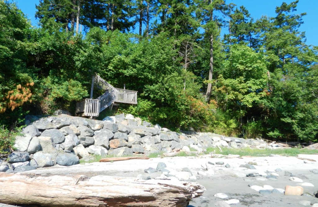
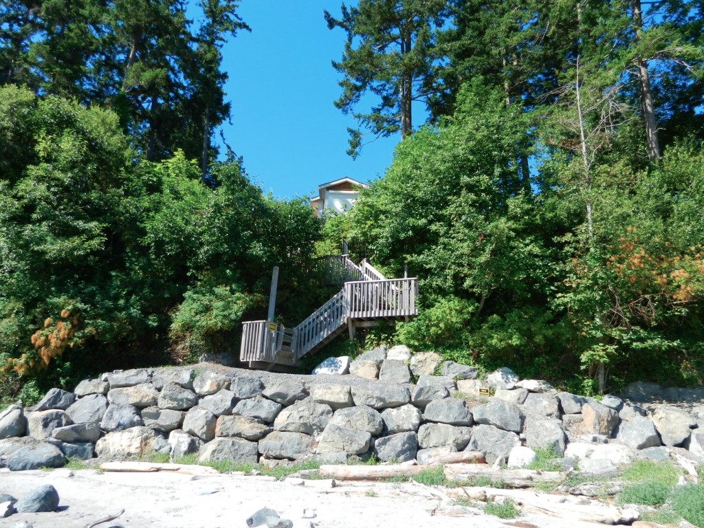
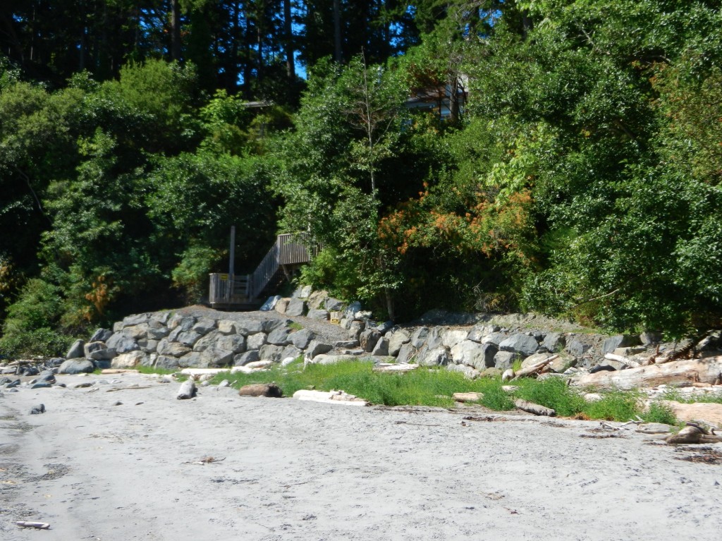
During the past few weeks, we have experienced several storms out of the north east at high tide. These images were taken to document some of the on-going problems from the extensive rip-rapping and seawall construction on that beach. See this page for summer 2013 images for comparison.
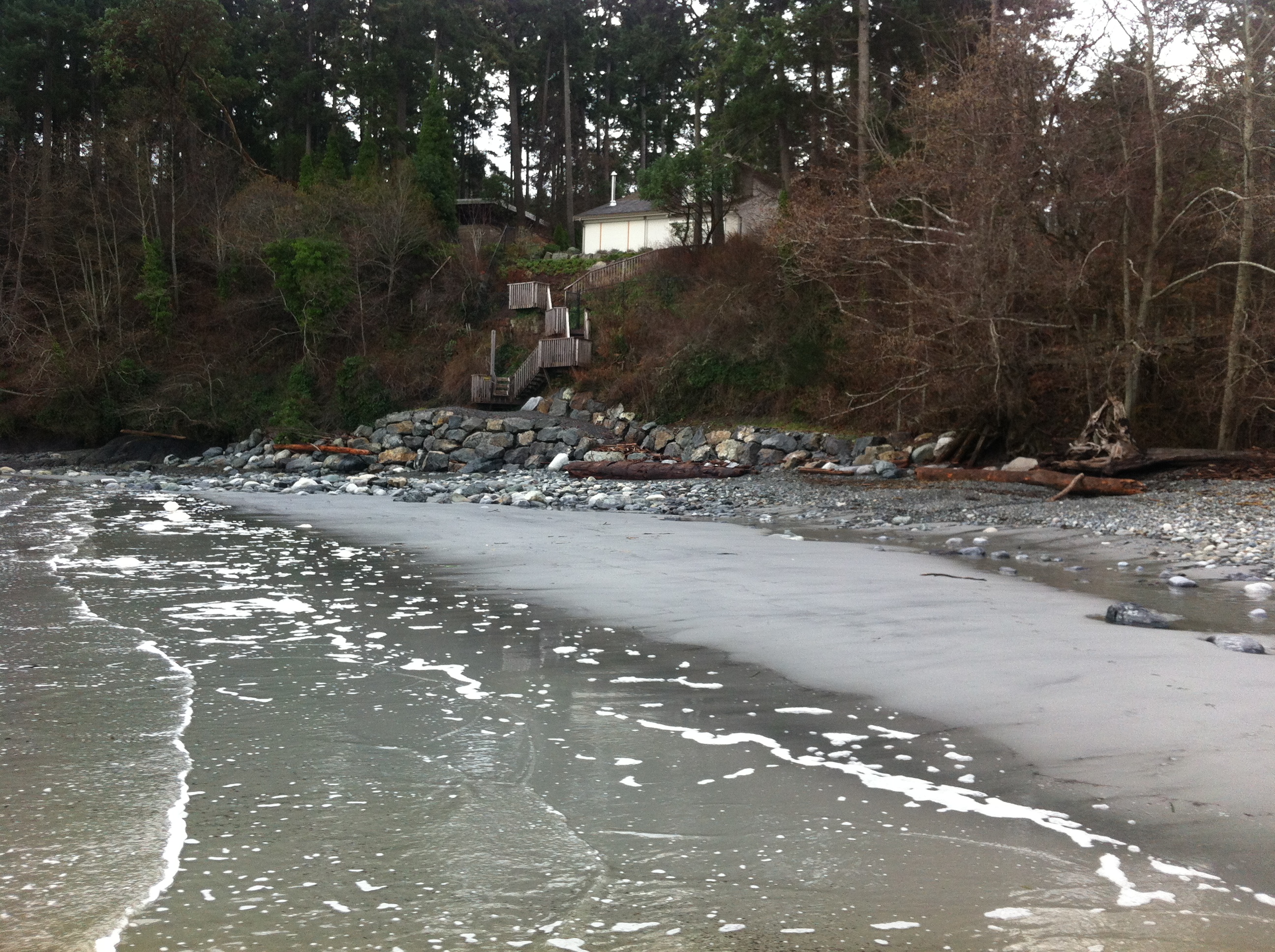
The solid sea-wall built only last year will lead to increased scouring and removal of sand. Unfortunately it will not only affect the crown land property in front of the wall, but the crown land foreshore adjacent to this property .
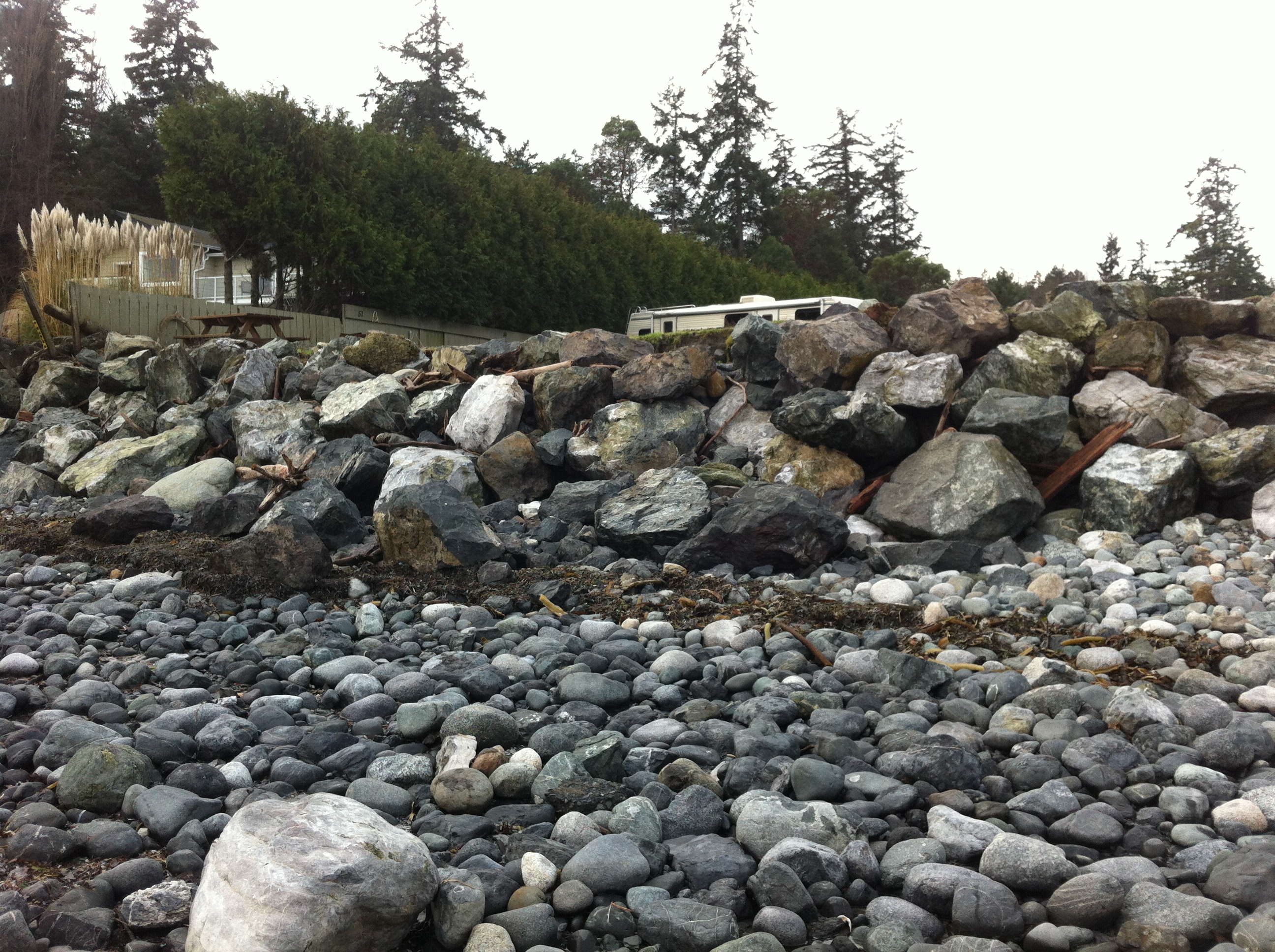
Recent storms have dislodged many of the boulders near the south end of the beach. Note the rubble foreground which was previously sand beach.
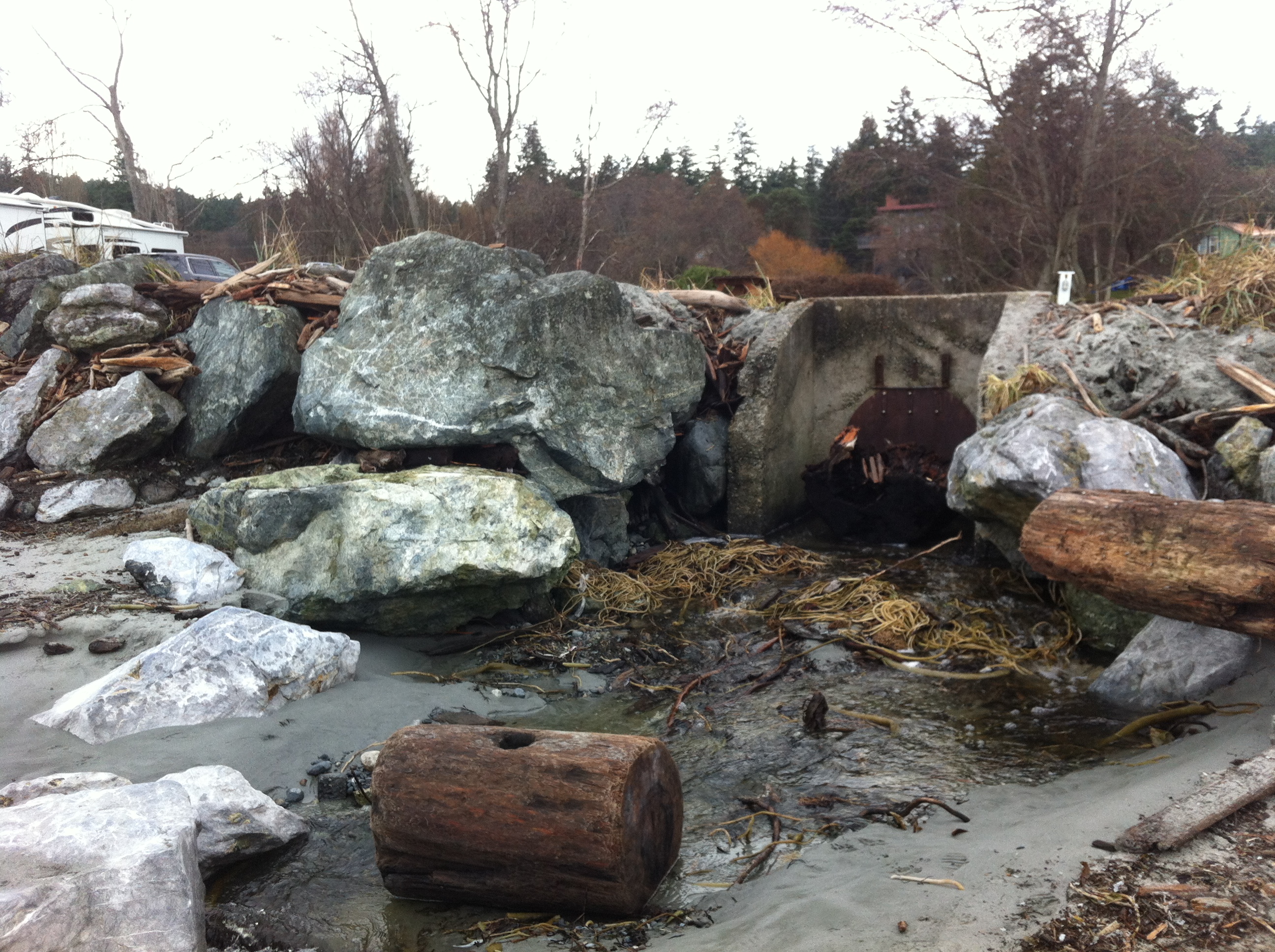
This concrete control gate was built many years ago to control flooding into a lagoon. The rip-rap boulders around it have been disturbed by wave action.
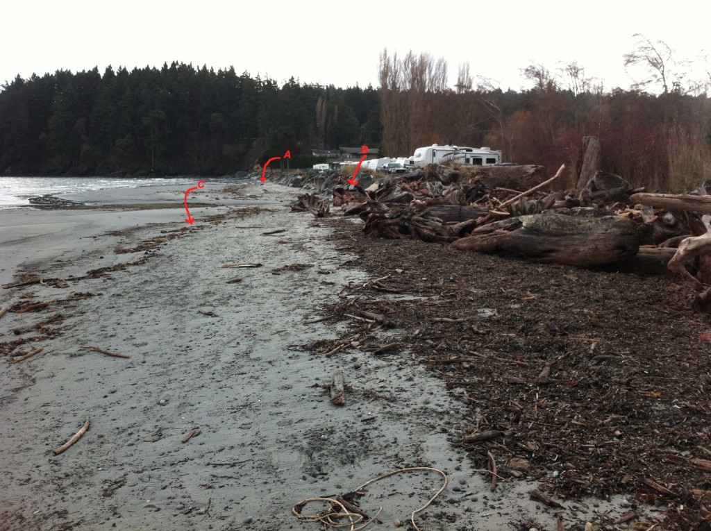
Site A= south end of the beach-sand eroded from base of rip-pap wall. Site B The border of where the rip-rap ends and the natural beach (going northward,) begins. C=the widened sand beach area backed by the natural beach. Scouring of the sand does not occur as it does further south on the beach.
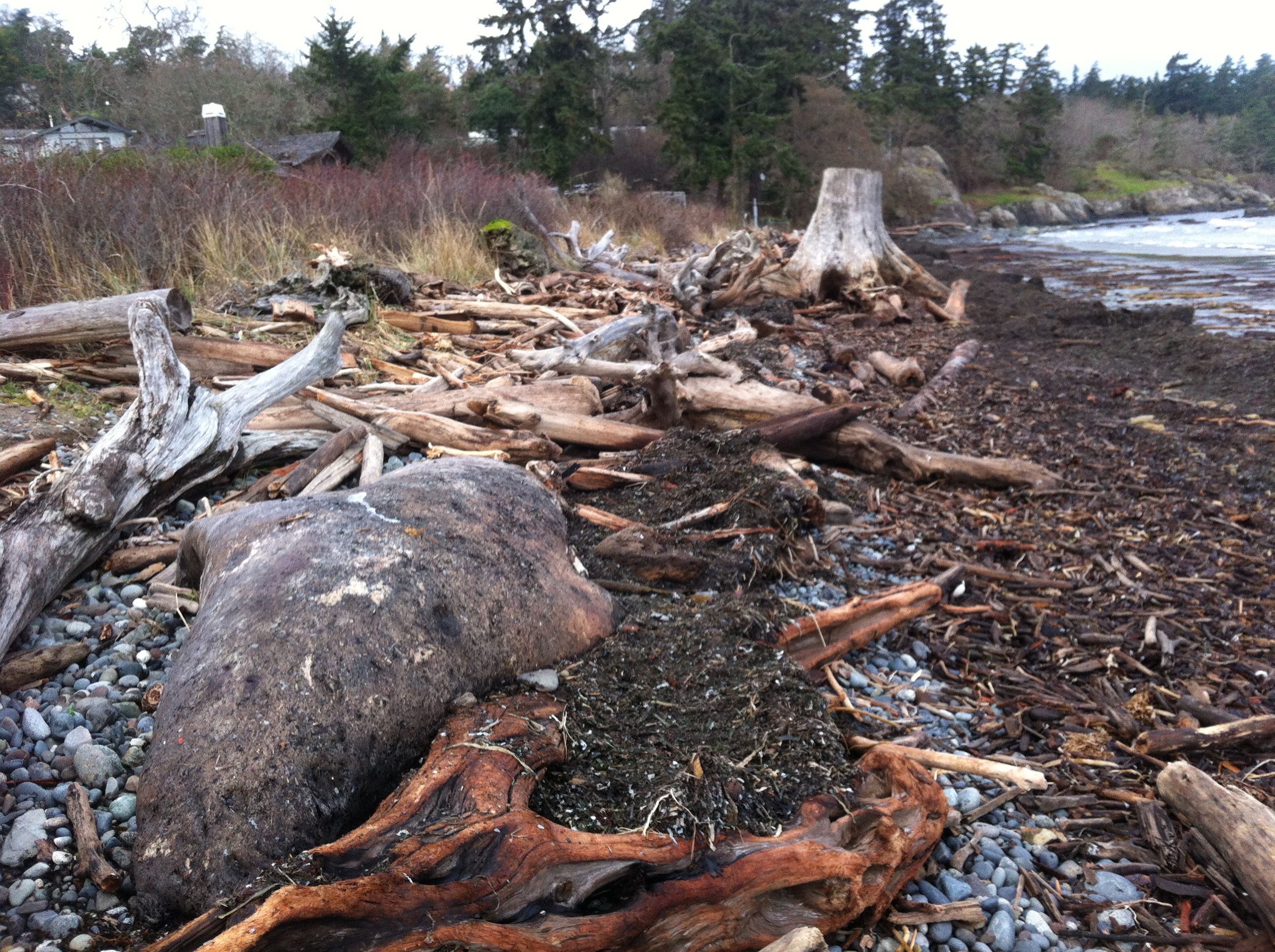
The berm on the North end of Weir’s beach is in a more natural state with logs and debris thrown up by storms. The and natural beach vegetation and debris absorbs the impact of the ocean energy and no scouring of the beach sand has occurred. This will lead to long-term beach stability and erosion-resistance.
See other posts and references on hardening of the shorelines by clicking on links below.
See this file on early pictures of Weir’s beach

