The Canadian Press
January 29, 2014 01:24 PM
OTTAWA — A government-commissioned risk analysis says the coast of southern British Columbia and the Gulf of St. Lawrence are the Canadian areas most vulnerable marine oil spills and among the most likely for a major spill to occur.
The findings will add to the debate over several pipeline proposals — including two in B.C. that the report says will substantially increase marine risks.
The 256-page study, delivered this month to Transport Canada, looks at the risks associated with marine oil spills south of the 60th parallel under current shipping volumes.
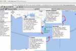
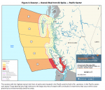
 It identifies the southern tip of Vancouver Island, the Cabot Strait off Newfoundland, the eastern coast of Cape Breton Island and the Gulf of St. Lawrence as the most probable areas for a major oil spill.
But the study also assesses the potential impact of four proposed pipeline projects, including the Northern Gateway Pipeline to Kitimat and Kinder Morgan’s plan to almost triple its Trans Mountain line into Vancouver.
The report says the Kinder Morgan proposal would essentially double oil traffic in an already vulnerable marine environment — with a corresponding increase in spill frequency — while the Northern Gateway marine route would turn what are currently very low, near-shore risks into very high risks.
The study found that reversing Enbridge’s Line 9 to carry Western Canadian crude to refineries in Montreal and Quebec City would actually lower marine spill risks, as it would reduce oil imports through the sensitive Gulf of St. Lawrence.
And the study found that the proposed Energy East Pipeline to St. John, N.B., would likely be a wash, reducing shipping imports but increasing oil exports to leave the overall marine risk about where it is now.
© Copyright Times Colonist
Posts on this website about the risk of oil spills on Metchosin’s shores:
Posts on the Ecological Reserves website about the threat of Oil Spills from Tanker Traffic
Posts on the Race Rocks website about the Risk from Increased Tanker Traffic
- Kinder Morgan and Tanker traffic in the Salish Sea
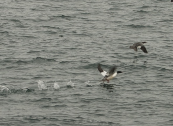
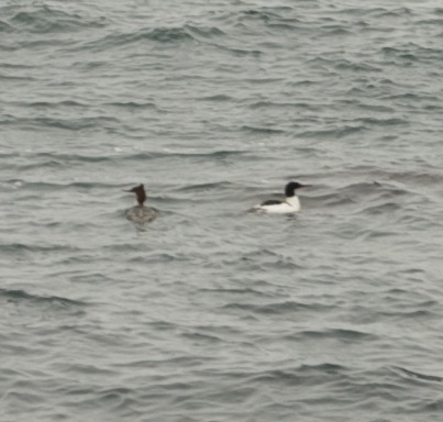
- What happens to waterfowl in an oilspill?
- Black Oystercatchers on the Front Line for Oil Spills
-
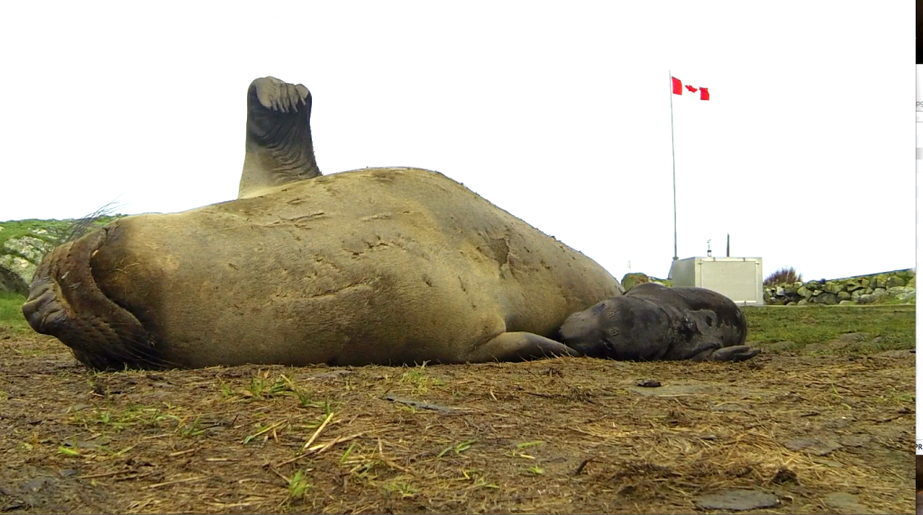
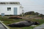
The Future for our Elephant Seal Population?
See the following posts for further information on Tanker traffic off our shores:
Review of Canada’s Ship-Source Oil-Spill Preparedness and response Regime:
Application to NEB by Board of Friends of Ecological Reserves