Post North-easterly Storm on Weir’s beach, Dec 2014

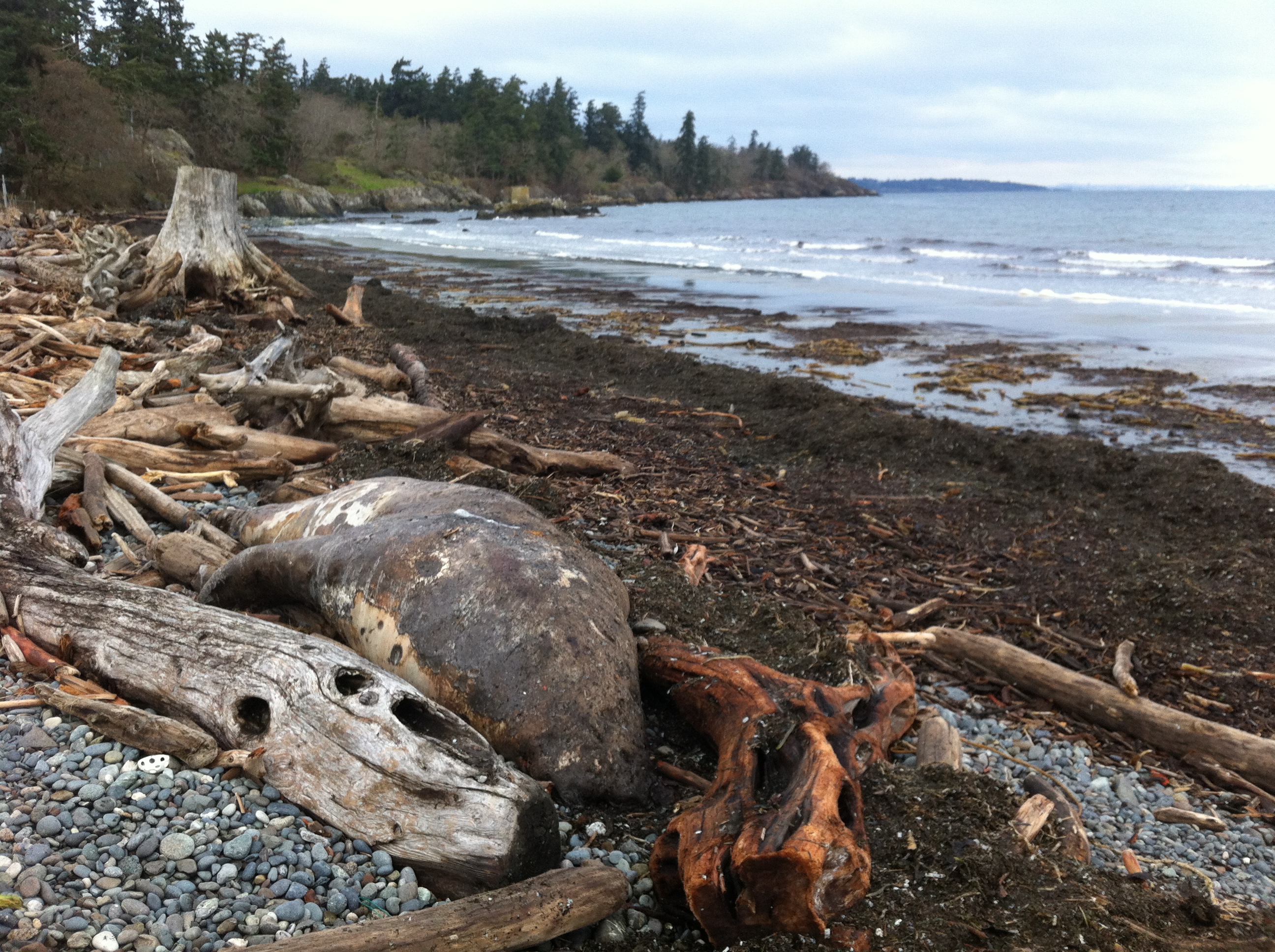
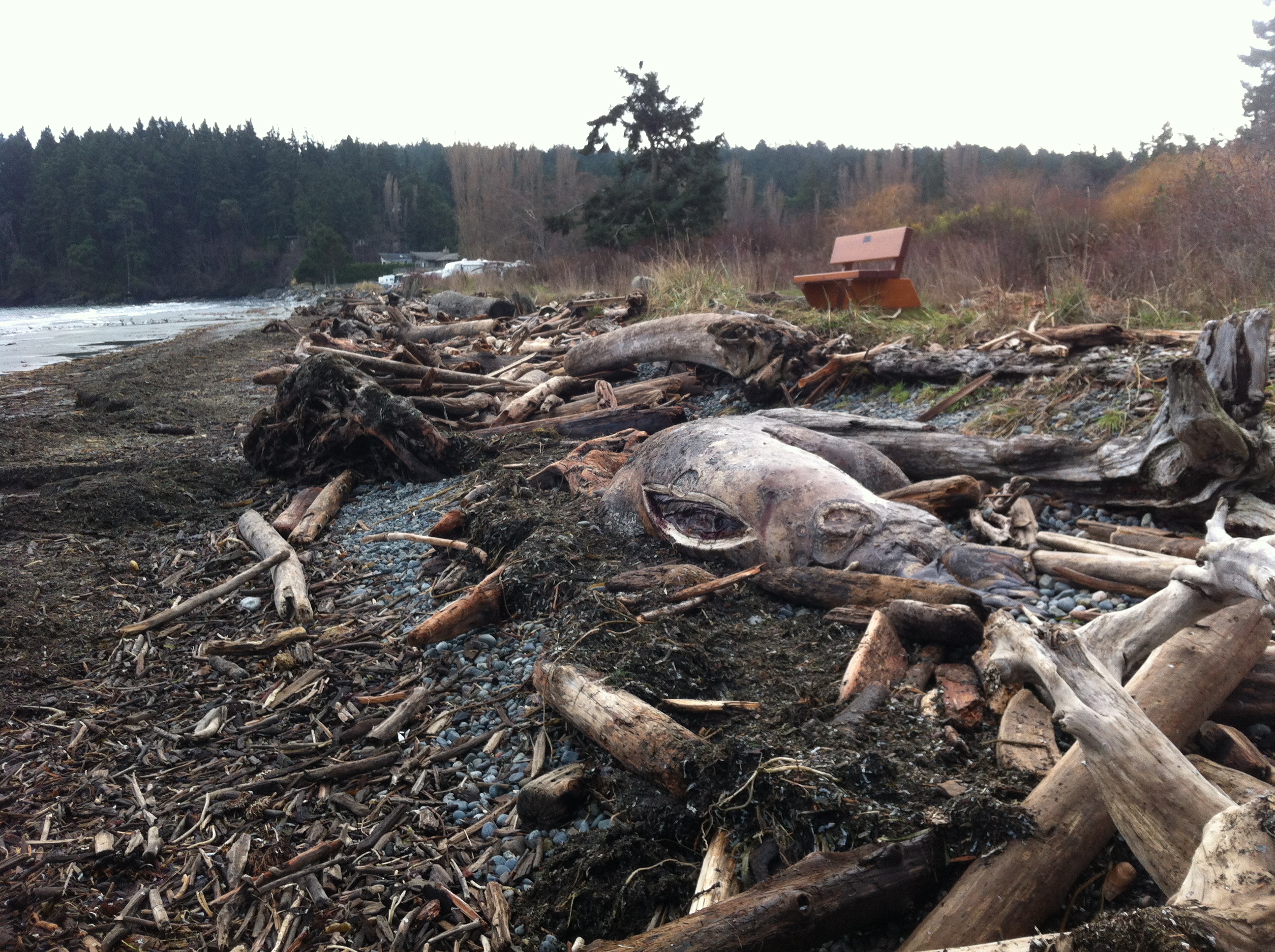
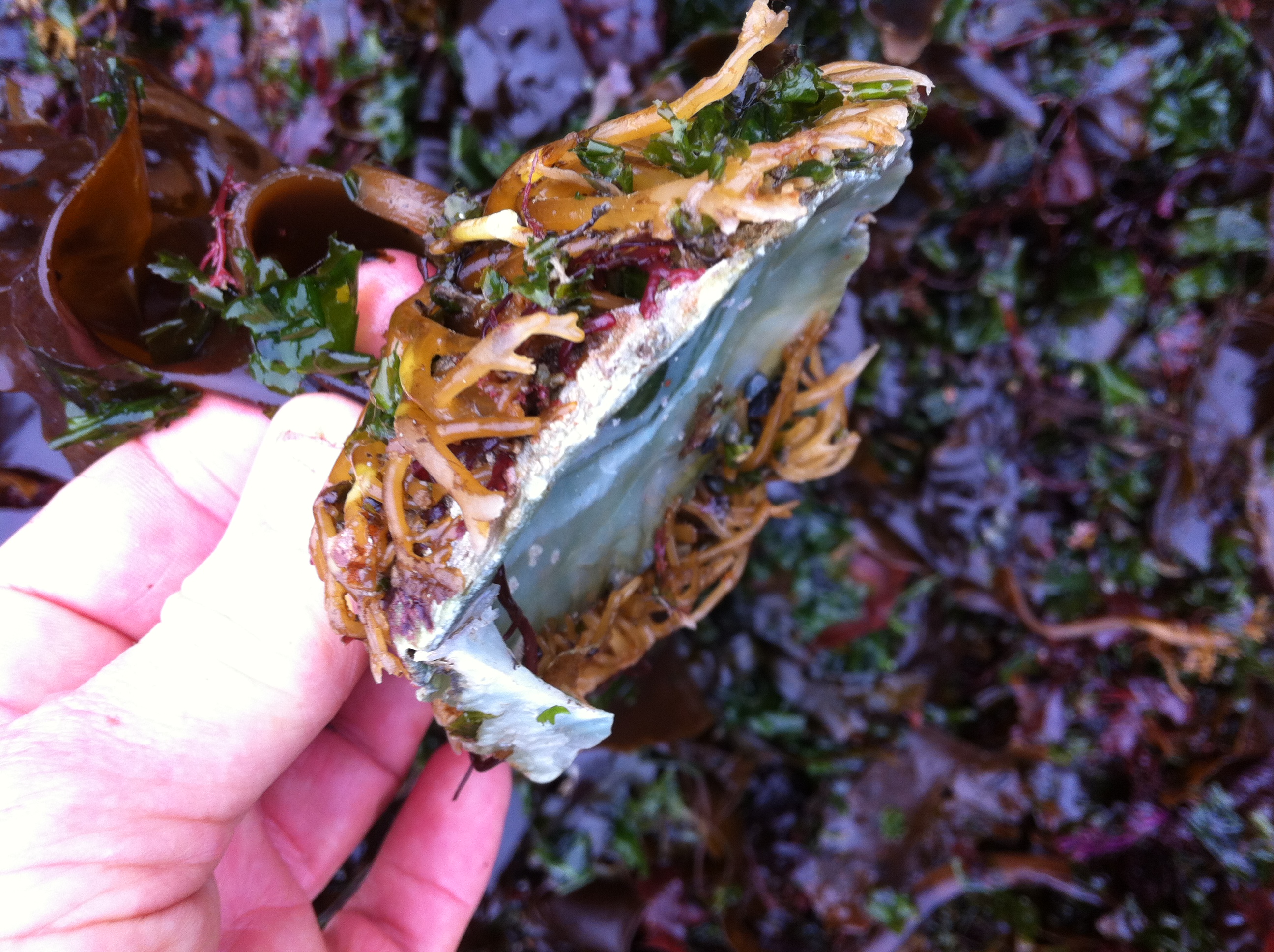
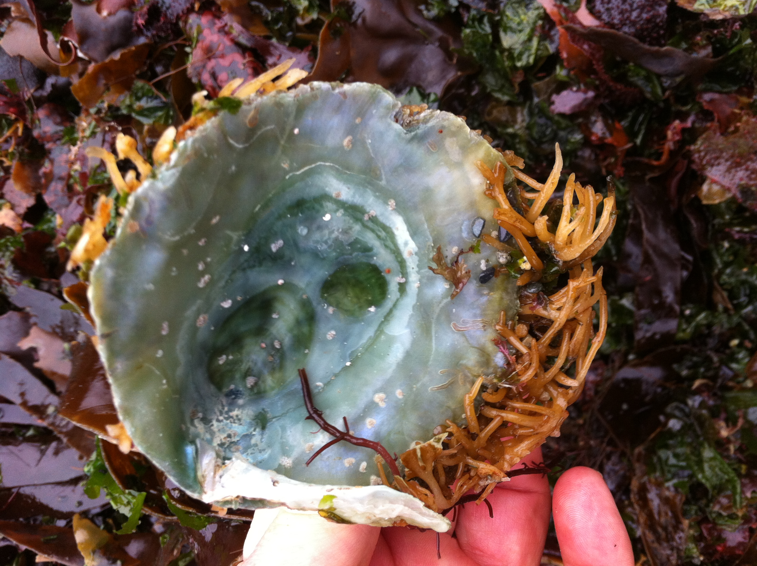
During the past few weeks, we have experienced several storms out of the north east at high tide. These images were taken to document some of the on-going problems from the extensive rip-rapping and seawall construction on that beach. See this page for summer 2013 images for comparison.

2014-12-26 weirserosion2

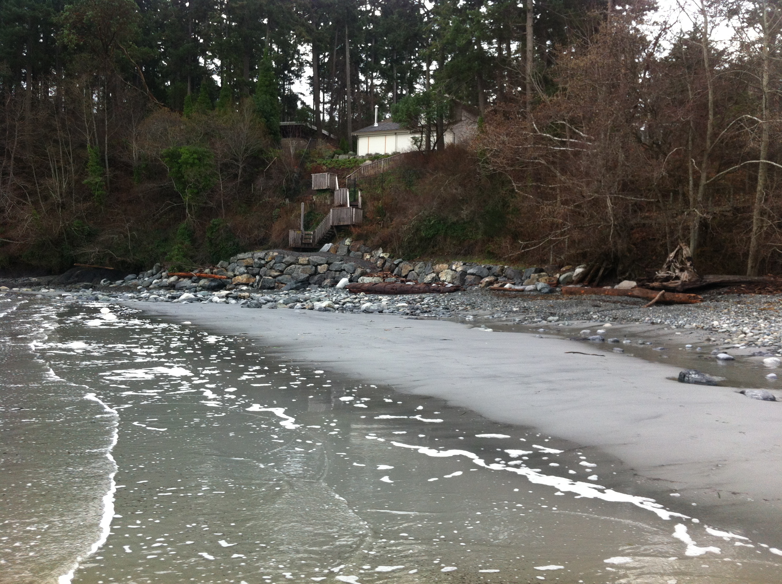
The solid sea-wall built only last year will lead to increased scouring and removal of sand. Unfortunately it will not only affect the crown land property in front of the wall, but the crown land foreshore adjacent to this property .


2014-12-26 weirserosin

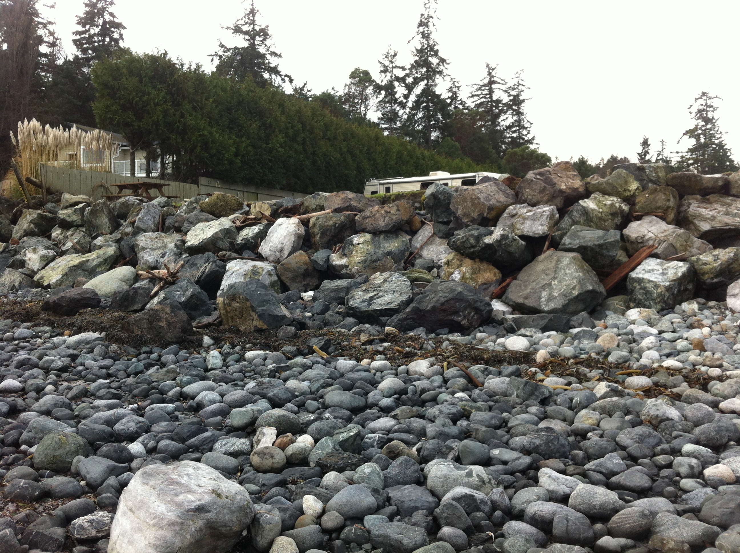
Recent storms have dislodged many of the boulders near the south end of the beach. Note the rubble foreground which was previously sand beach.

2014-12-26 controlgate

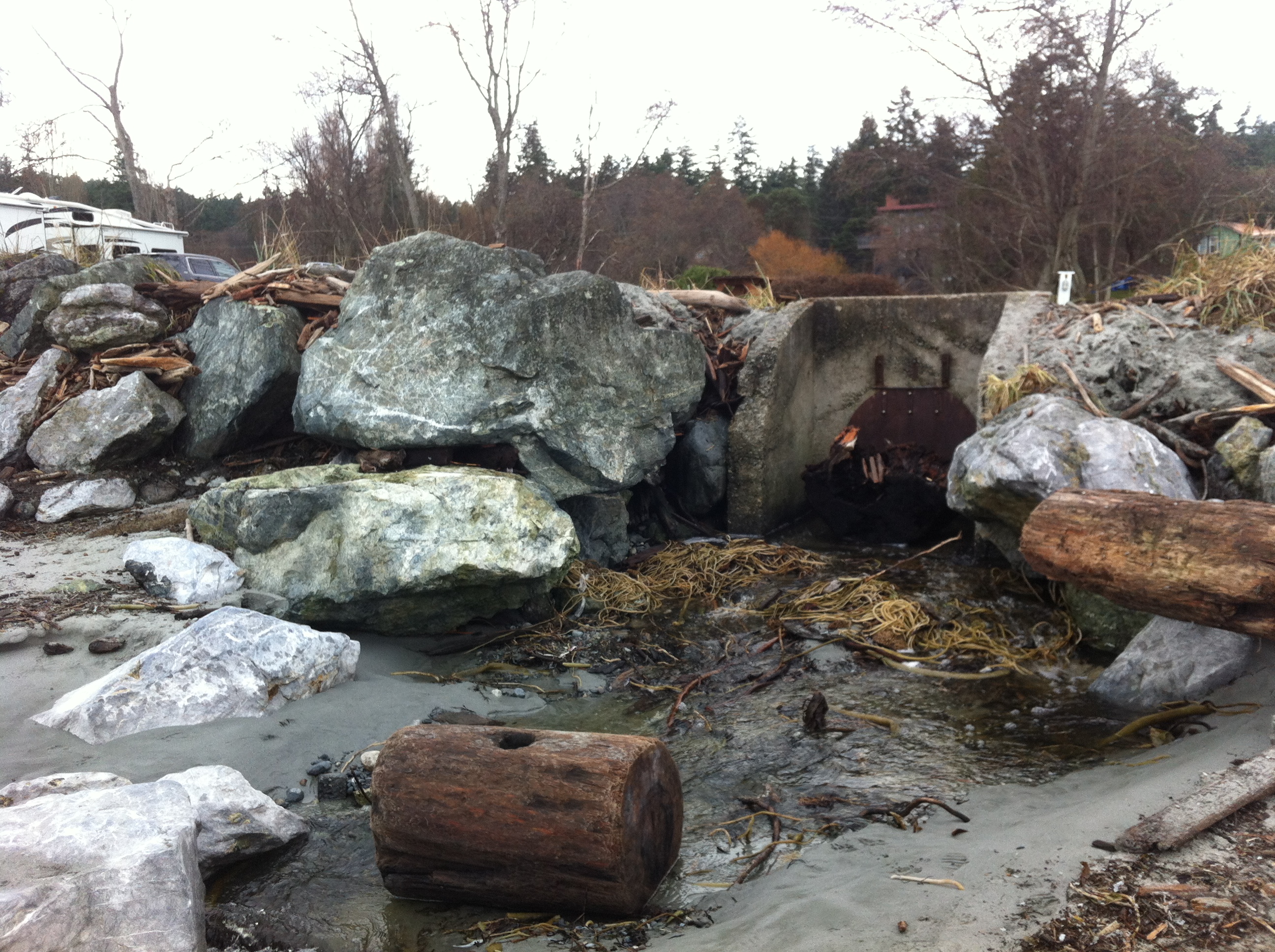
This concrete control gate was built many years ago to control flooding into a lagoon. The rip-rap boulders around it have been disturbed by wave action.

2014-12-26 weirsbeachwidth

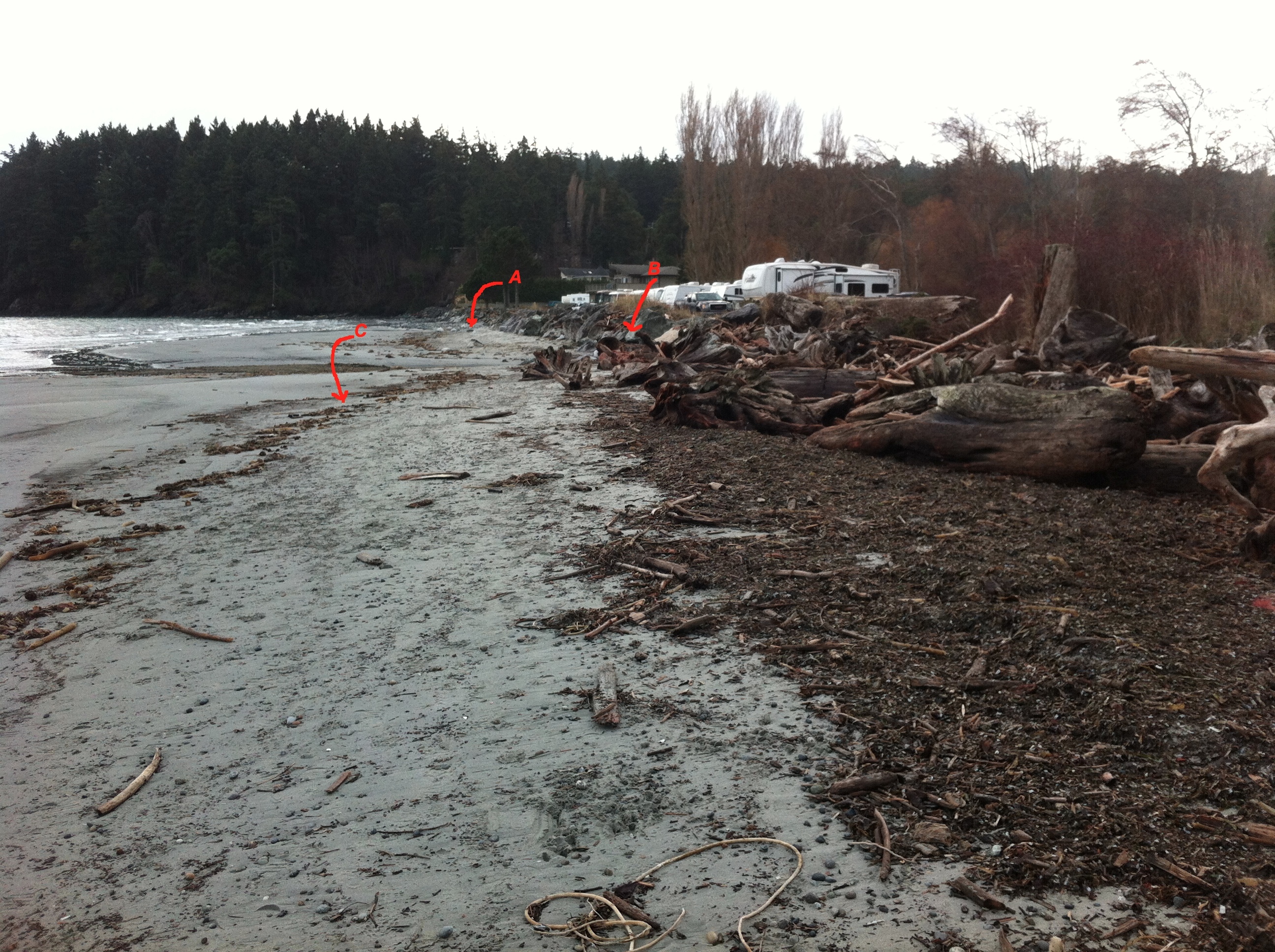
Site A= south end of the beach-sand eroded from base of rip-pap wall. Site B The border of where the rip-rap ends and the natural beach (going northward,) begins. C=the widened sand beach area backed by the natural beach. Scouring of the sand does not occur as it does further south on the beach.

2014-12-26 natural-portion

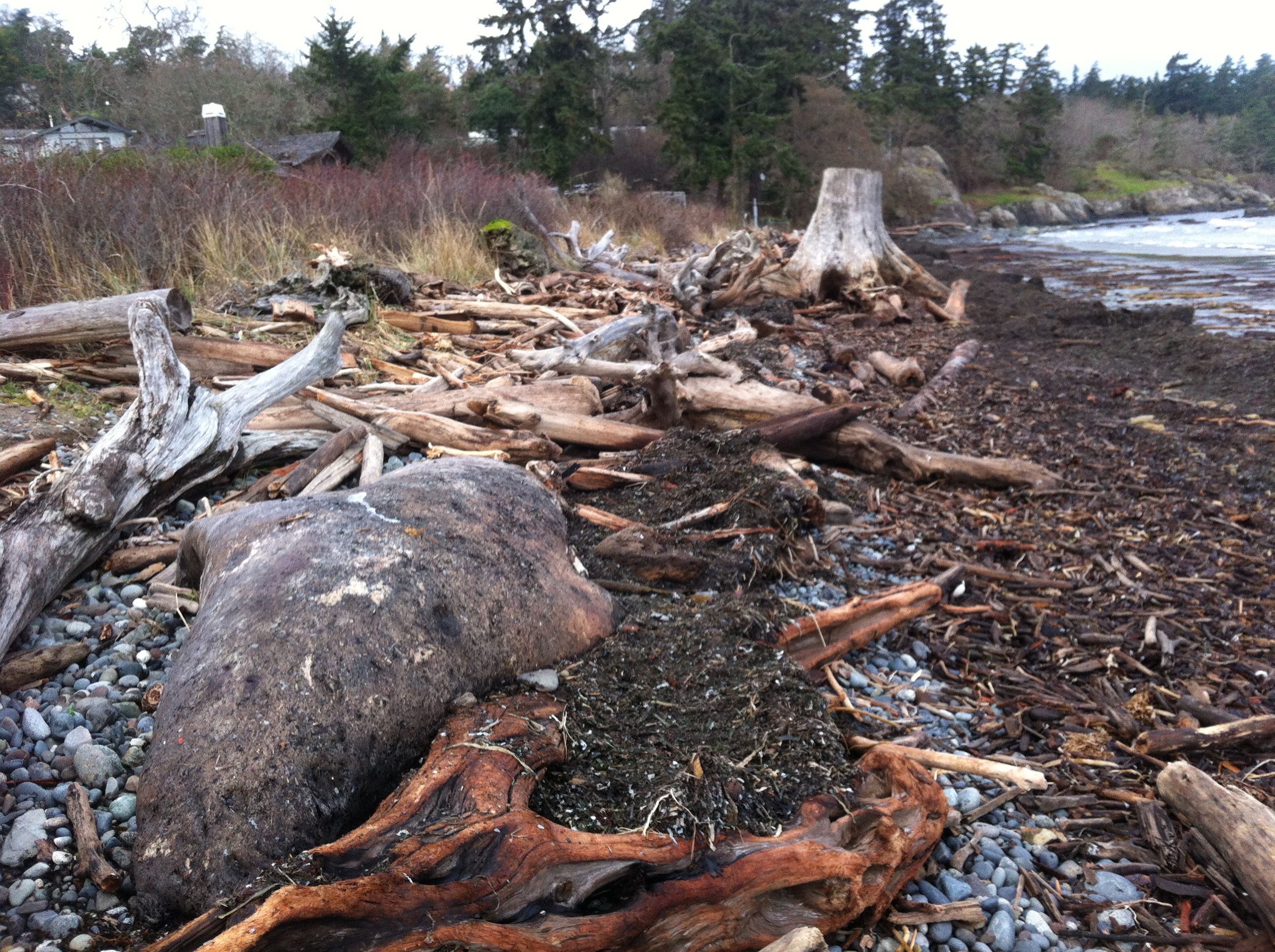
The berm on the North end of Weir’s beach is in a more natural state with logs and debris thrown up by storms. The and natural beach vegetation and debris absorbs the impact of the ocean energy and no scouring of the beach sand has occurred. This will lead to long-term beach stability and erosion-resistance.

See other posts and references on hardening of the shorelines by clicking on links below.
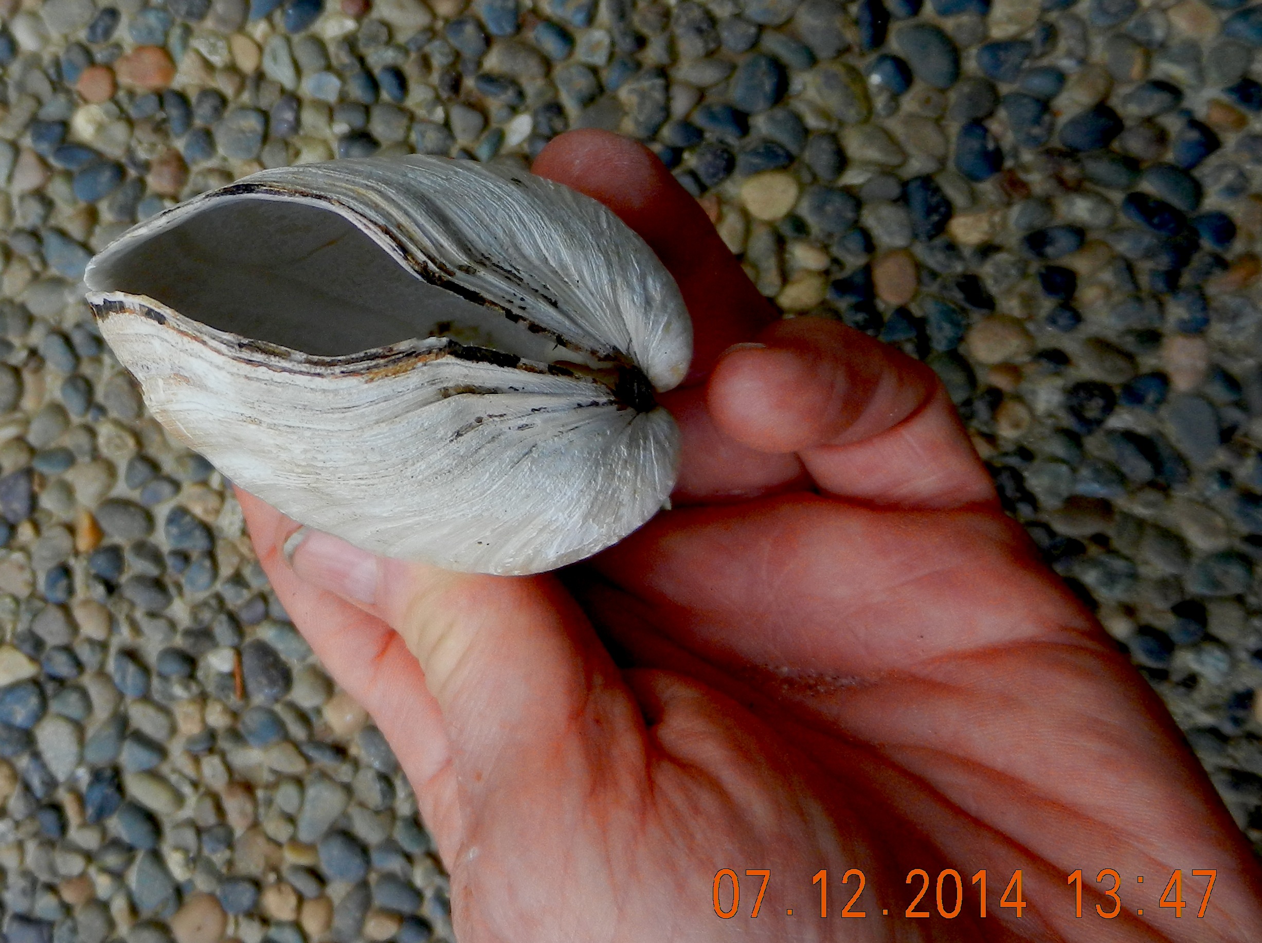
See this file on early pictures of Weir’s beach

Elephant Seal-dead on Weir’s beach

Metchosin resident Jan Poulin reported a dead marine mammal today on Weir’s beach. Below are some pictures. It looks like a mature male, up to 4 m in length. It had been washed up in the swell form the North East storms over the last week. It has been dead for some time and will eventually probably cause a problem for the residents of the area. It has been reported to DFO.

2014-12-26 gfweirselsealdead

male elephant seal, dead on Weir’s Beach photo: G. Fletcher

Other images of the elephant seal : December 26, 2014


Images of Tankers and Marine Animals at Race Rocks.

The vessel traffic lane in the Strait  of Juan de Fuca is very narrow and it llies within 3 to 5 nautical miles of the boundary of Race Rocks Ecological Reserve.  The ecoguardians at the Race Rocks Ecological Reserve have contributed photos of  the local fauna, with tankers in the background  and we have posted them on this page:

DSC_7127

Cormorants and Sealions with a 300 metre tanker in the backgound: photo by Alex Fletcher.

DSC_7137

Cormorants and Sealions with tanker in the backgound: photo by Alex Fletcher.

Letter of Support for the BC Government Motion of Dec 5 from the Board of FER

Our shoreline and Race Rocks Ecological reserve are  at risk of an oil spill. Metchosin resident Garry Fletcher and Victoria resident Mike Fenger have been Intervenors in the NEB Kinder Morgan/ Trans Mountain Pipeline Proposal Hearing  on behalf of the Board of Friends of Ecological Reserves. The letter linked here was sent in support of the Province of British Columbia’s  attempts to have full disclosure of the emergency Plans of the WCMRC (Western Canada Marine Response Corporation). ( which happens to be over 50% owned by Kinder Morgan…)

RE: Notice of Motion by the Province of British Columbia submitted December 5, 2014 OH -01- 2014 Trans Mountain Pipeline ULC (“Trans Mountain”) Trans Mountain Expansion Project (the “Project”) File Number OF-Fac-Oil-T260-2013-03 02

As an Intervenor in the above mentioned application, the Board of Friends of Ecological Reserve’s (Board of FER )provides the following comments in support for BC’s Motion submitted by the Province of British Columbia on December 5, 2014.
Please be advised that the Board of FER supports the order sought in the Province of British Columbia’s Notice of Motion dated December 5, 2014:————-

The complete text of this letter can be viewed here on the National Energy Board Website .

 Internal FER website link to this pdf:

Special Report: Tar Sands Reporting Project

Ed note: This link  is included here as an ongoing record of the problem associated with the tar sands project which has resulted in the Kinder Morgan Pipeline Expansion and the Northern Gateway Project of Enbridge.   It is an indication of the state of the Social License Oil companies have achieved with such projects.

mine-site-oil-sands_N3G4651_webSpecial Report: Tar Sands Reporting Project
From the Vancouver Observer: “
Our award-winning team’s crowd-funded series on the people, places and conflicts associated with Canada’s tar sands.”

The Fat Gaper: Tresus capax on Taylor Beach

We often come across these empty shells of  Tresus capax the Fat Gaper on the shores of Taylor Beach. They live buried in the sand in the shallow water offshore. Around the opening of the siphon, Tresus capax  has small palps around each opening which distinguishes it from other bivalves.

Pacific Geoduck, Panopea abrupta

Fat Gaper : ( Tresus capax)

Classification::
Kingdom: Animalia
Phylum: Mollusca
Class: Bivalvia
Order: Veneroida
Family: Mactridae
Genus: Tresus
Species: Tresus capax (Gould, 1850)

fat gaper

The Fat Gaper, Tresus capax . Note the size in comparison to a glove.

Useful References: E-fauna BC page on bivalve Molluscs:


Pododesmus (Monia) macroschisma

The false pacific jingle shell, or rock oyster, often comes ashore on Taylor Beach attached to the holdfasts of kelp.

2014-10-22holdfasrshell

Various species of kelp have attached their holdfasts to this rock oyster shell, leading to it being detached and carried ashore on Taylor Beach.

2014-10-22shellholdfast

One of the valves of Pododesmus sp.


Pododesmus (Monia) macroschisma (Deshayes, 1839)


Reference: Peter’s seashells