Values and Views
Island Trust Communities
Marine By Nature
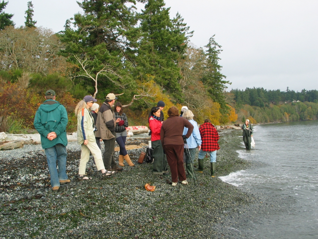
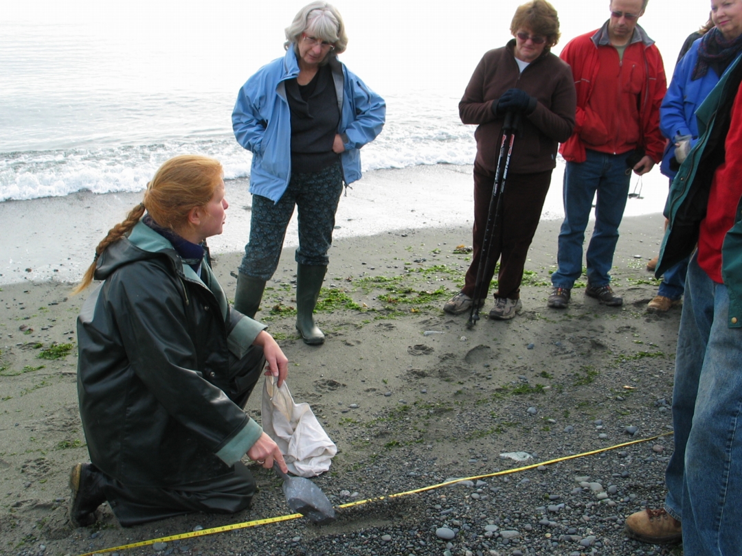
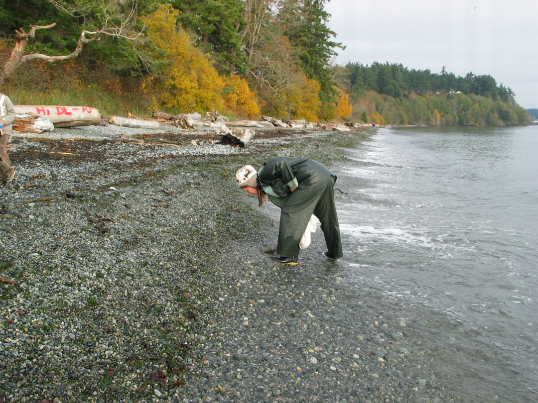
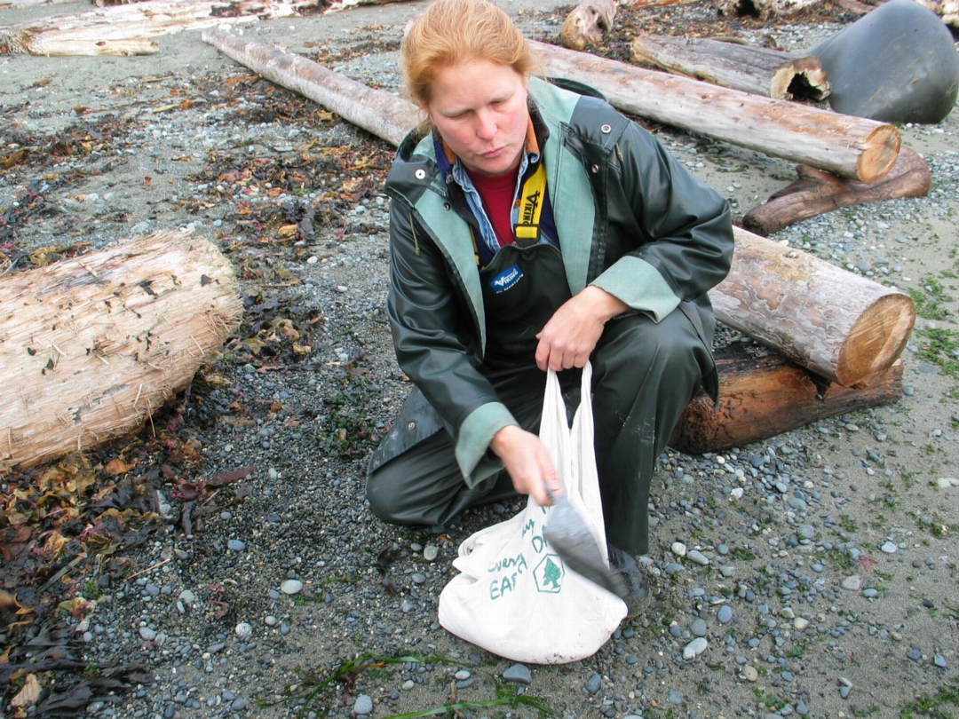
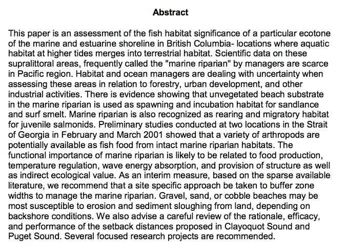
The Islands within the Salish Sea have been shaped by ancient glaciers and modern oceanic forces. Whether you visit the islands seasonally or live here year round, Islanders treasure the marine environment. The North Pender Local Trust Committee has developed this brochure to introduce you to where sensitive marine habitats exist, how you can recognize them, and what simple steps you can take to ensure our local waters continue to support a vibrant and abundant marine ecosystem.
This PDF has been produced by the North Pender Island Local Trust Committee: Sharing Our shorelines_lowres
 Contents:
Clean Water
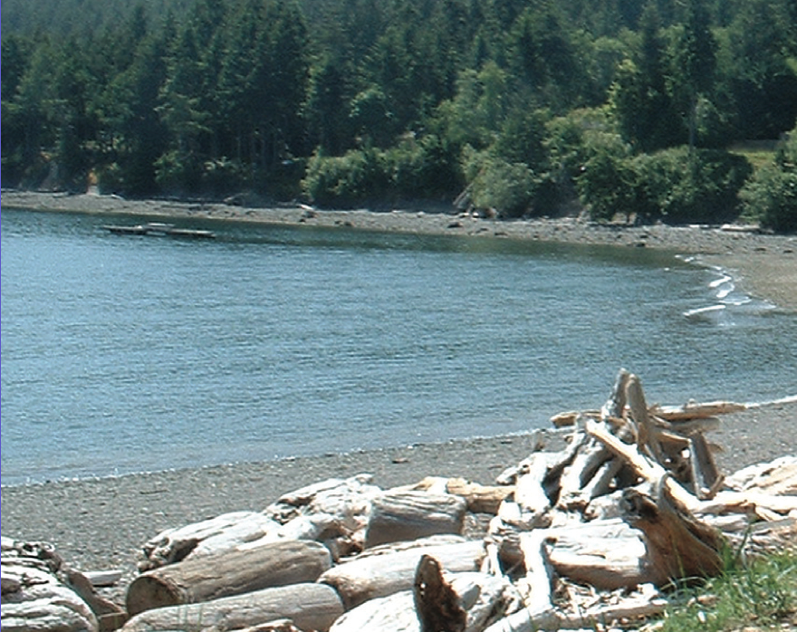
Shoreline erosion
Coastal Bluffs and Shoreline beaches
Marine Riparian Vegetation
Intertidal Habitats
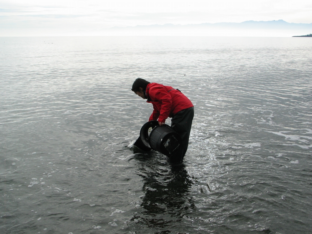
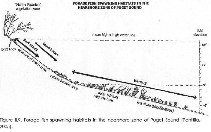
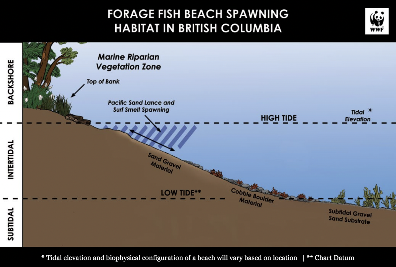
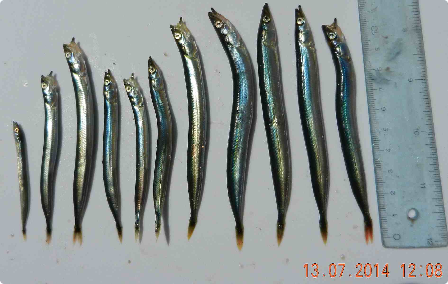
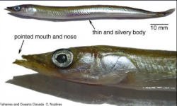
Beach-spawning Forage Fish
Eelgrass habitats
Kelp Forests and Rocky Reefs
Marine shorelines as critical fish habitats