Overhanging Vegetation, Invertebrates and Forage fish

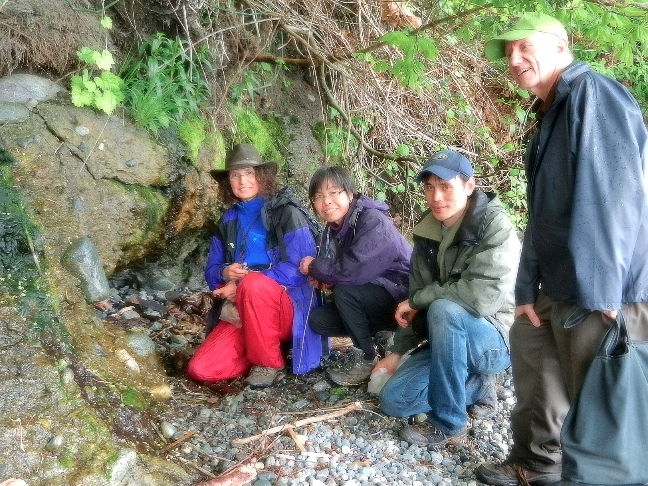
Development along shorelines can very easily destroy or alter the natural coastal ecosystems so that the food supply and habitat maintenance of Forage Fish is affected negatively. Ramona de Graff has made several presentations on the importance of Forage Fish and has encouraged local residents to join in the documentation of occurrence of eggs on beaches.
From The Islands Trust “Sharing our Shorelines”
page 6: Shorelines Connect – Linking The Land And The Sea
Marine Riparian Vegetation
What is marine riparian vegetation?
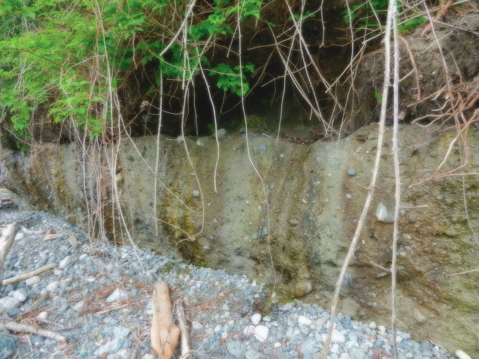
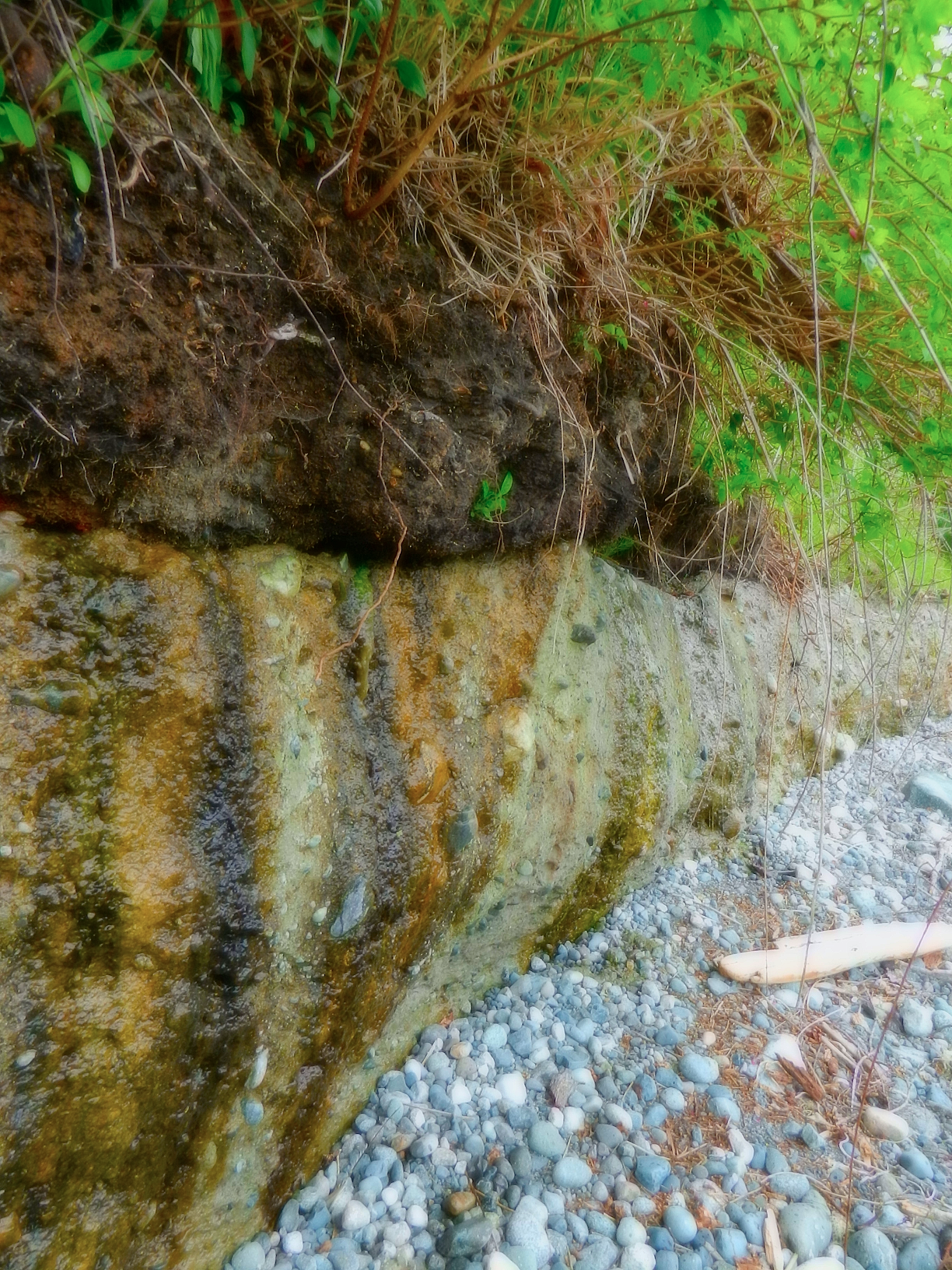
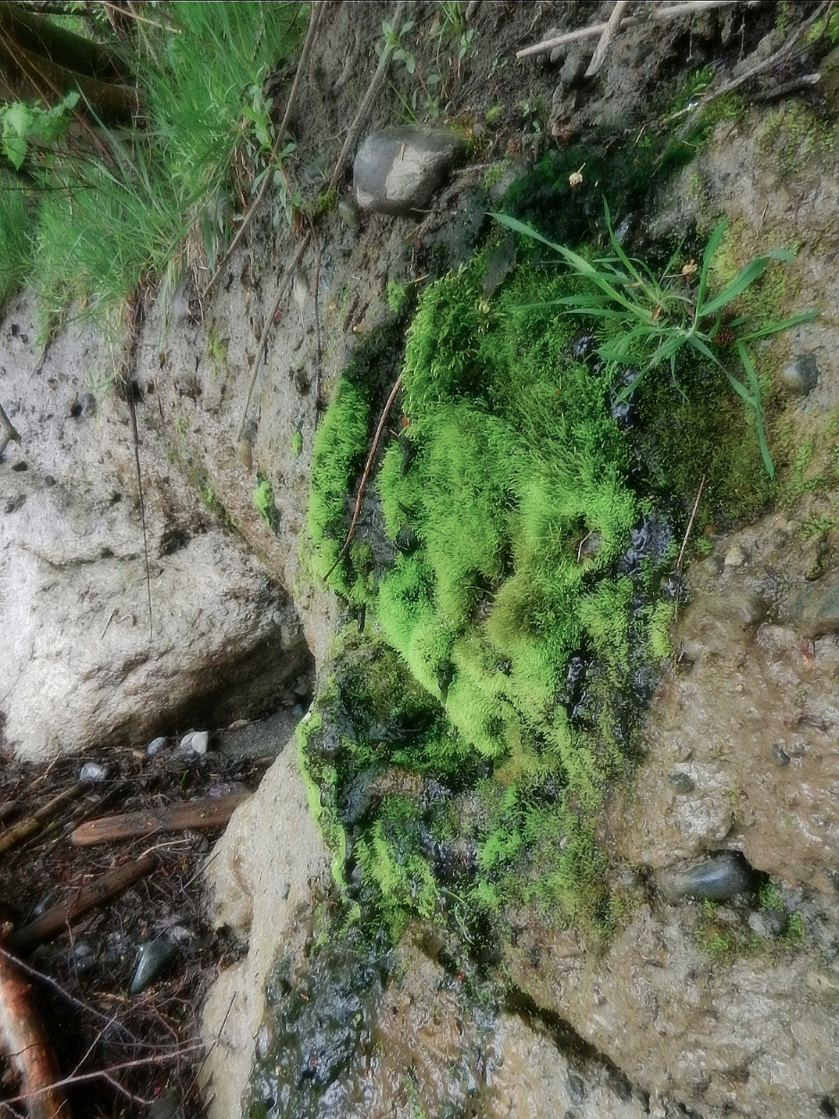
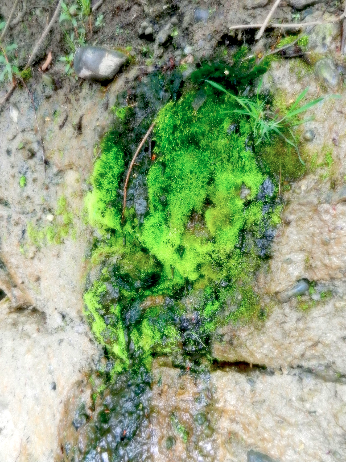
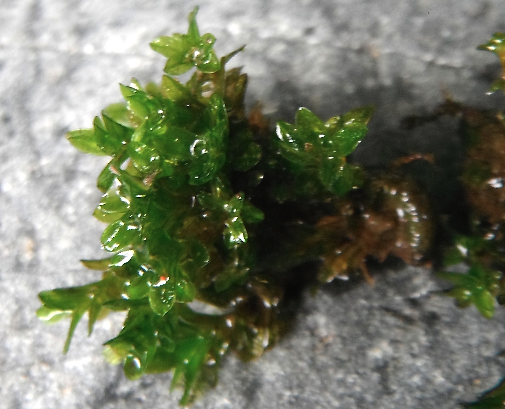
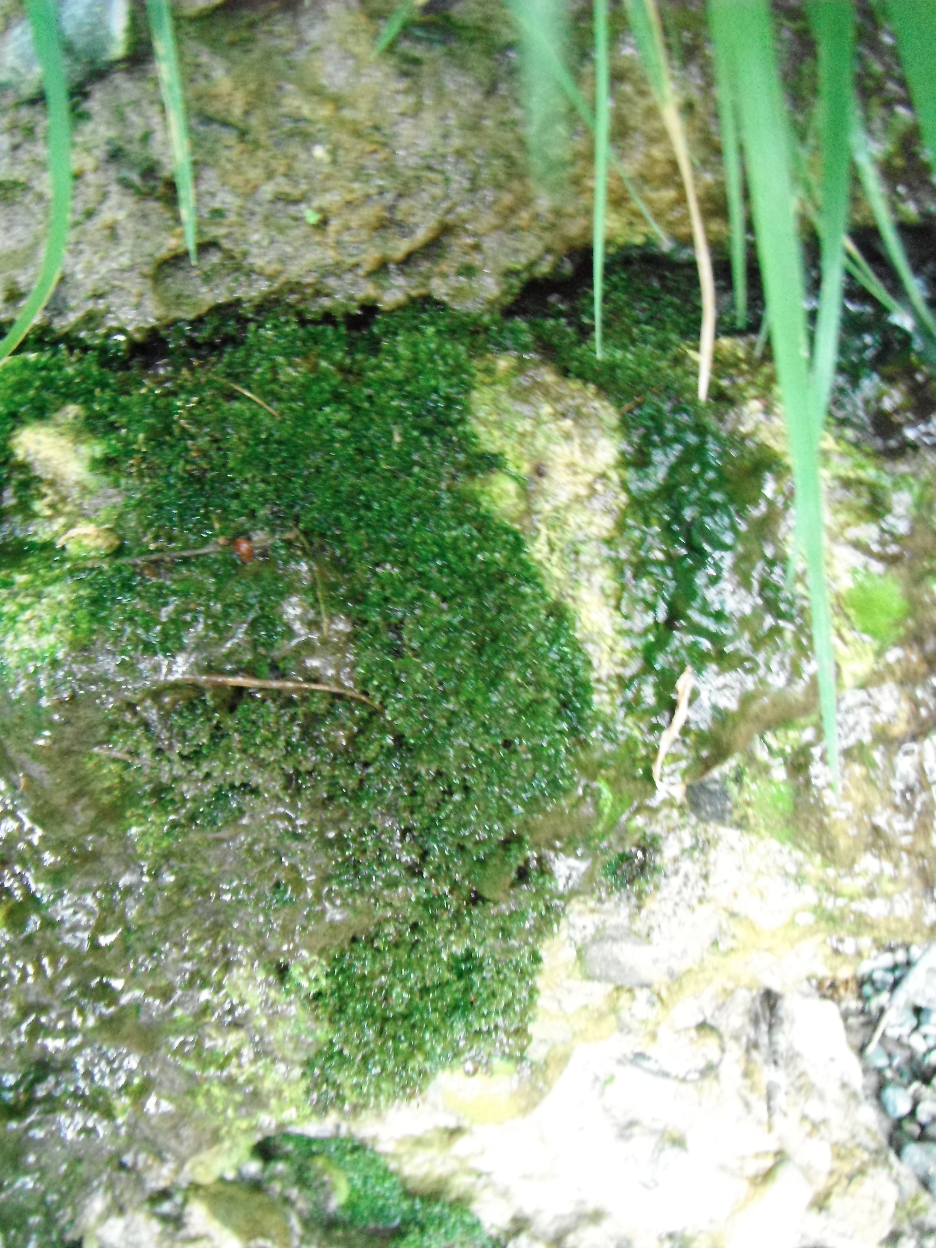
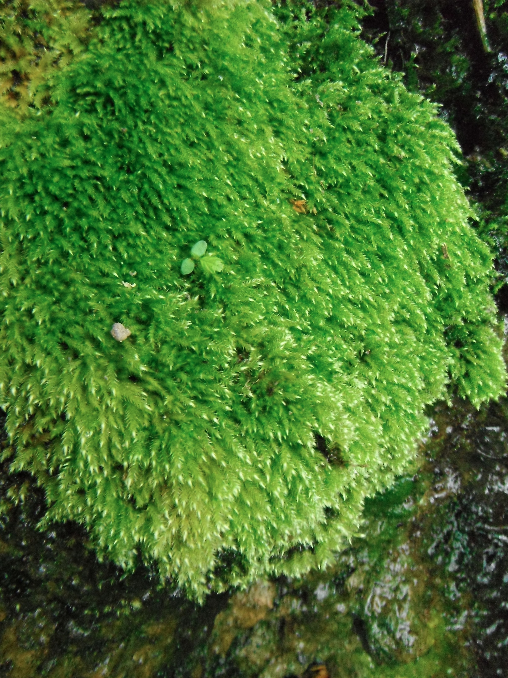
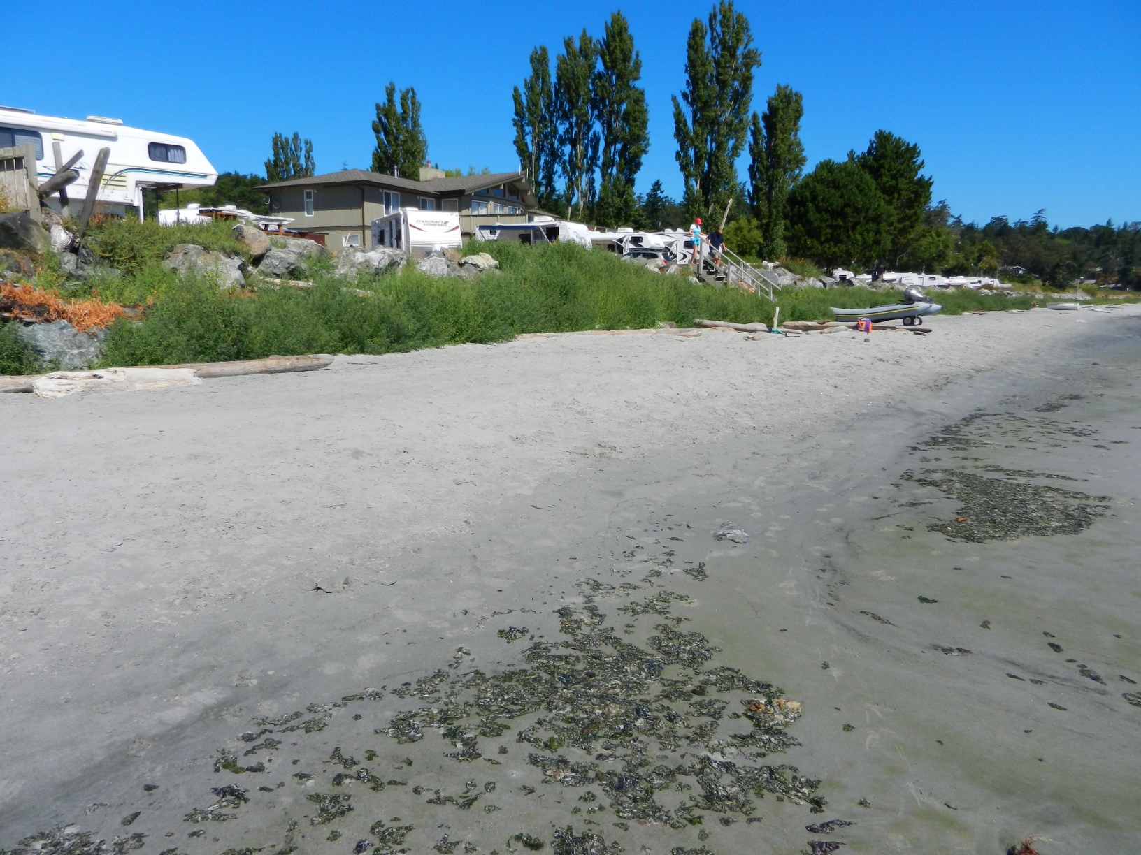
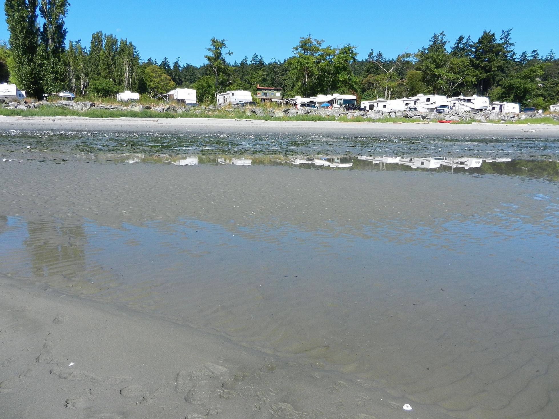
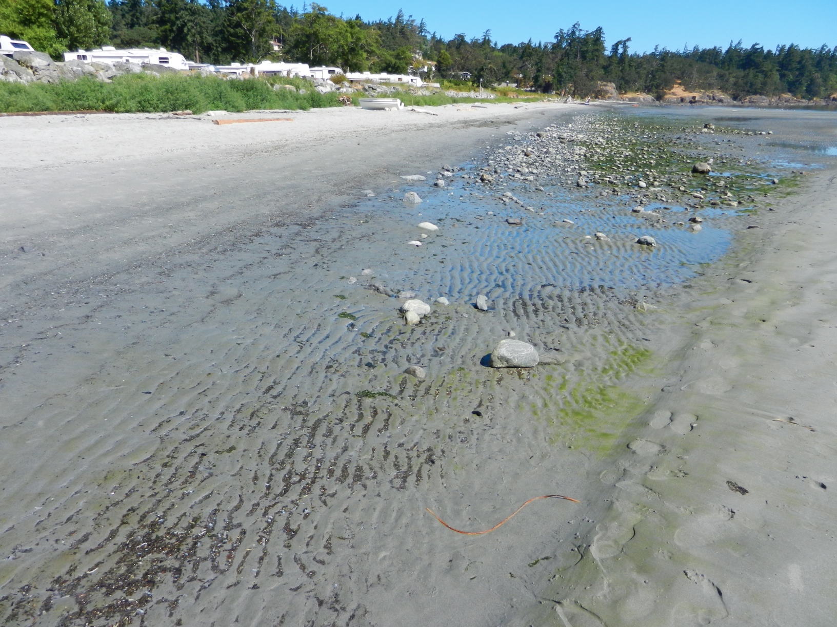
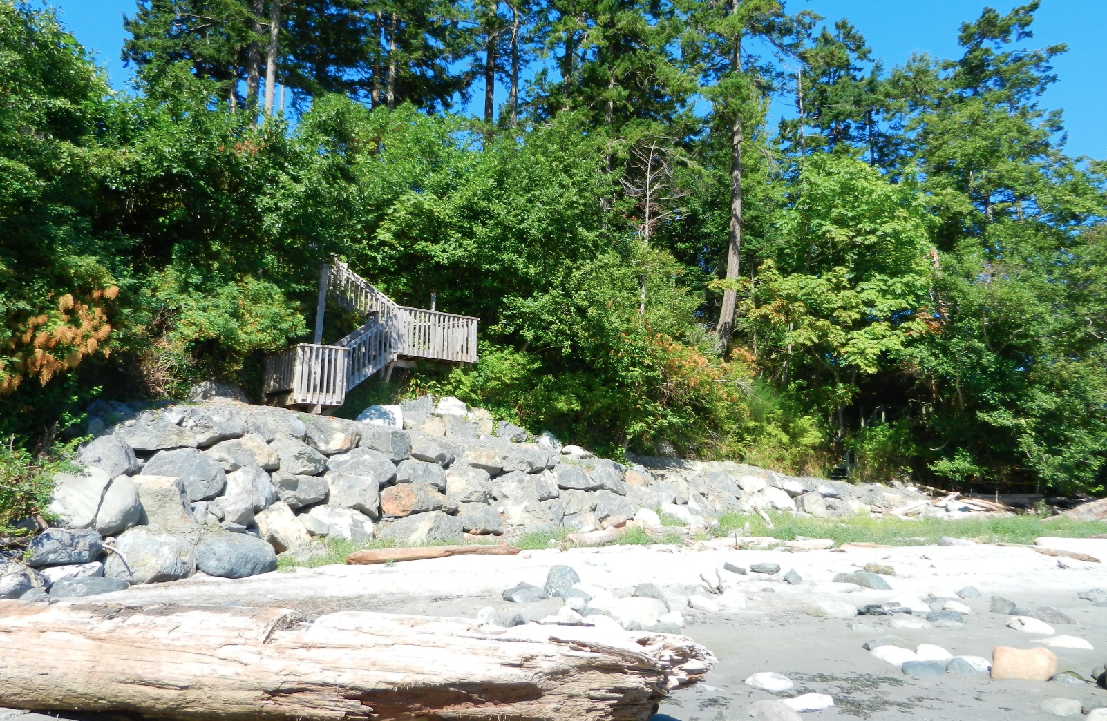
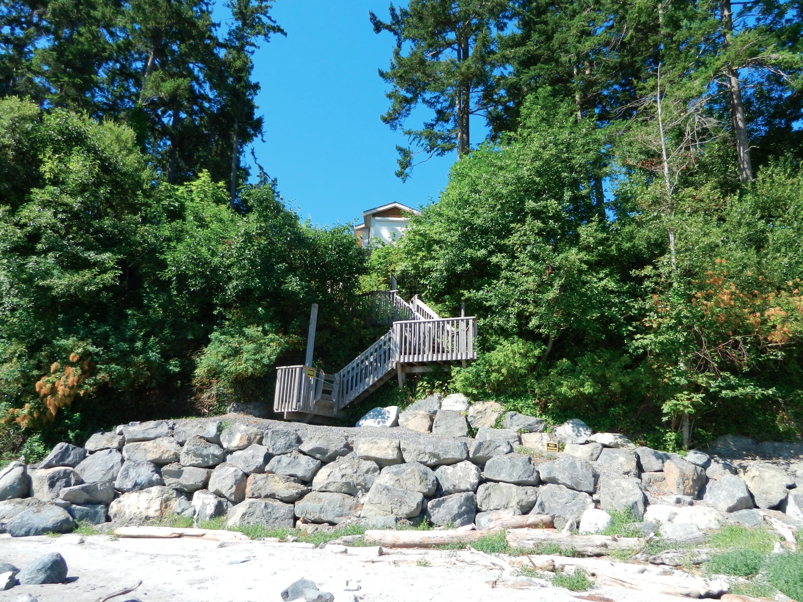
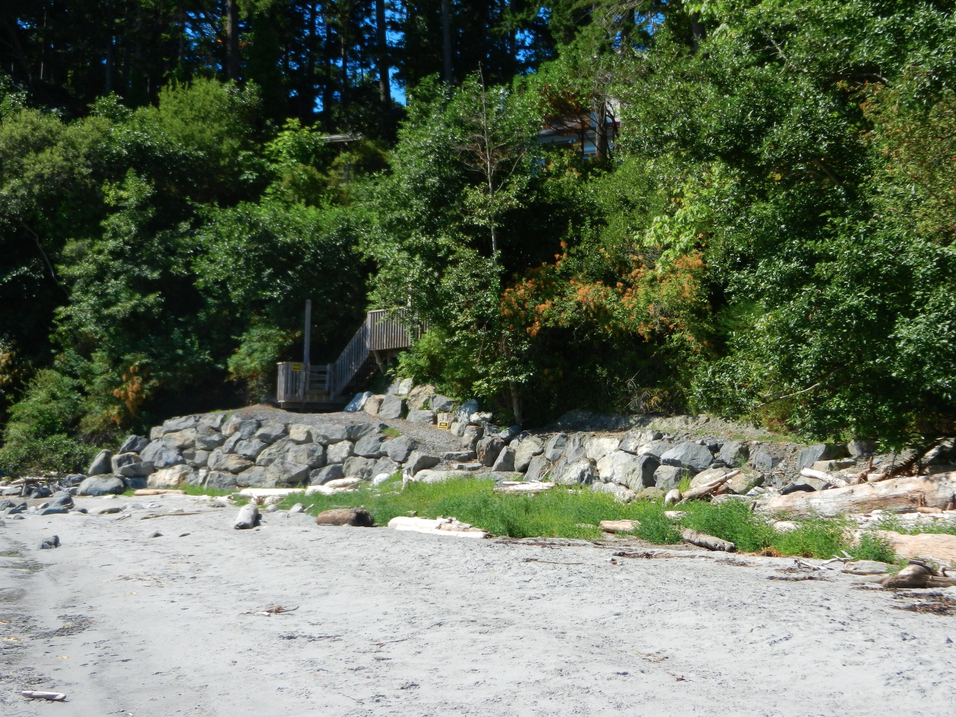
The term “marine riparian” vegetation refers to grasses, shrubs, trees and logs lining marine shorelines. Marine riparian zones link the land and the sea through the exchange of water, sediments and nutrients.
Where is marine riparian vegetation located?
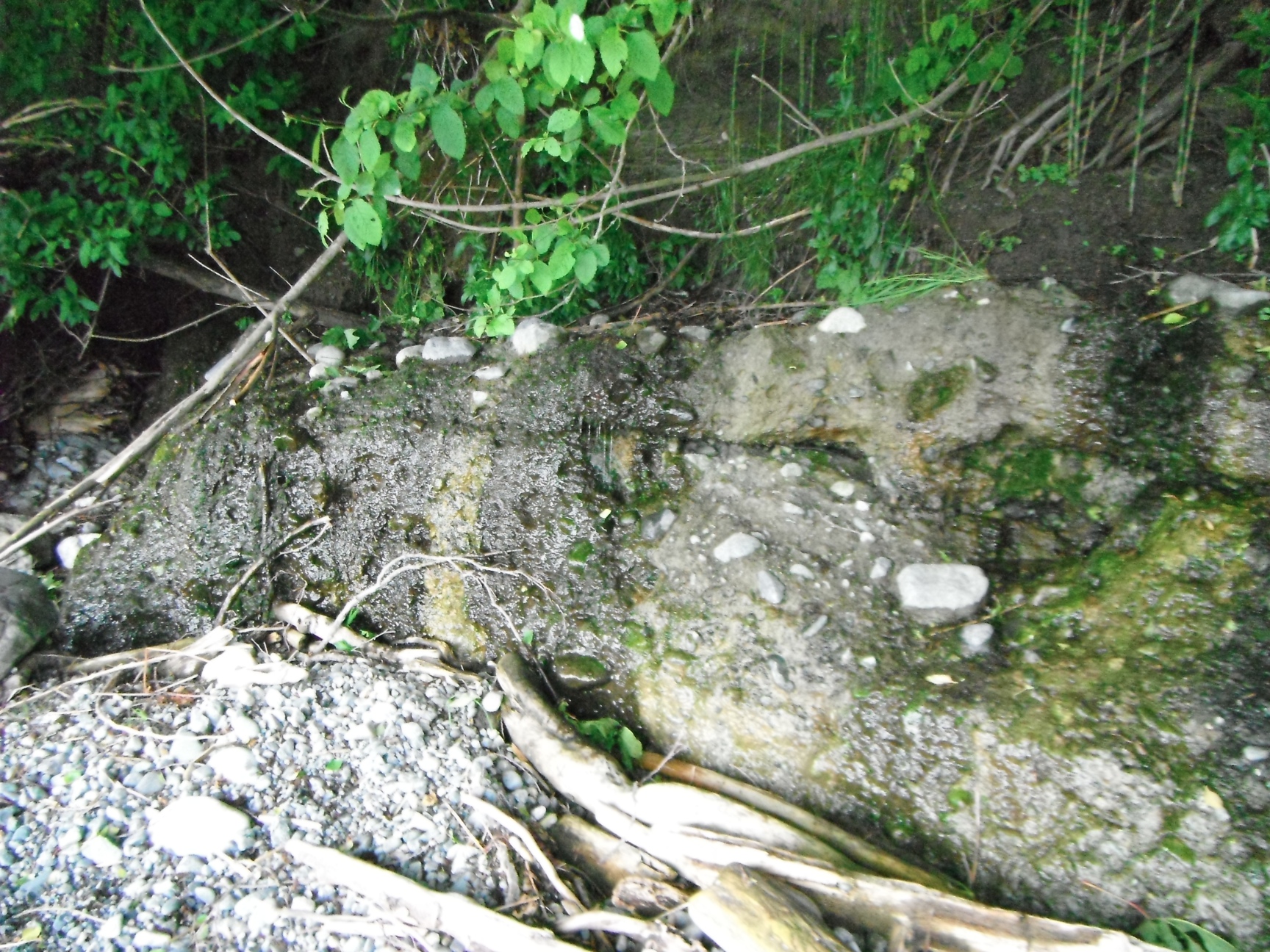
Vegetation above the high water mark, within “backshore” areas such as
private shoreline properties, on bluff tops and slopes form the marine
riparian zone.
Why is marine riparian vegetation important?
Insects captured by the winds as “wind fall” from shoreline vegetation are critical
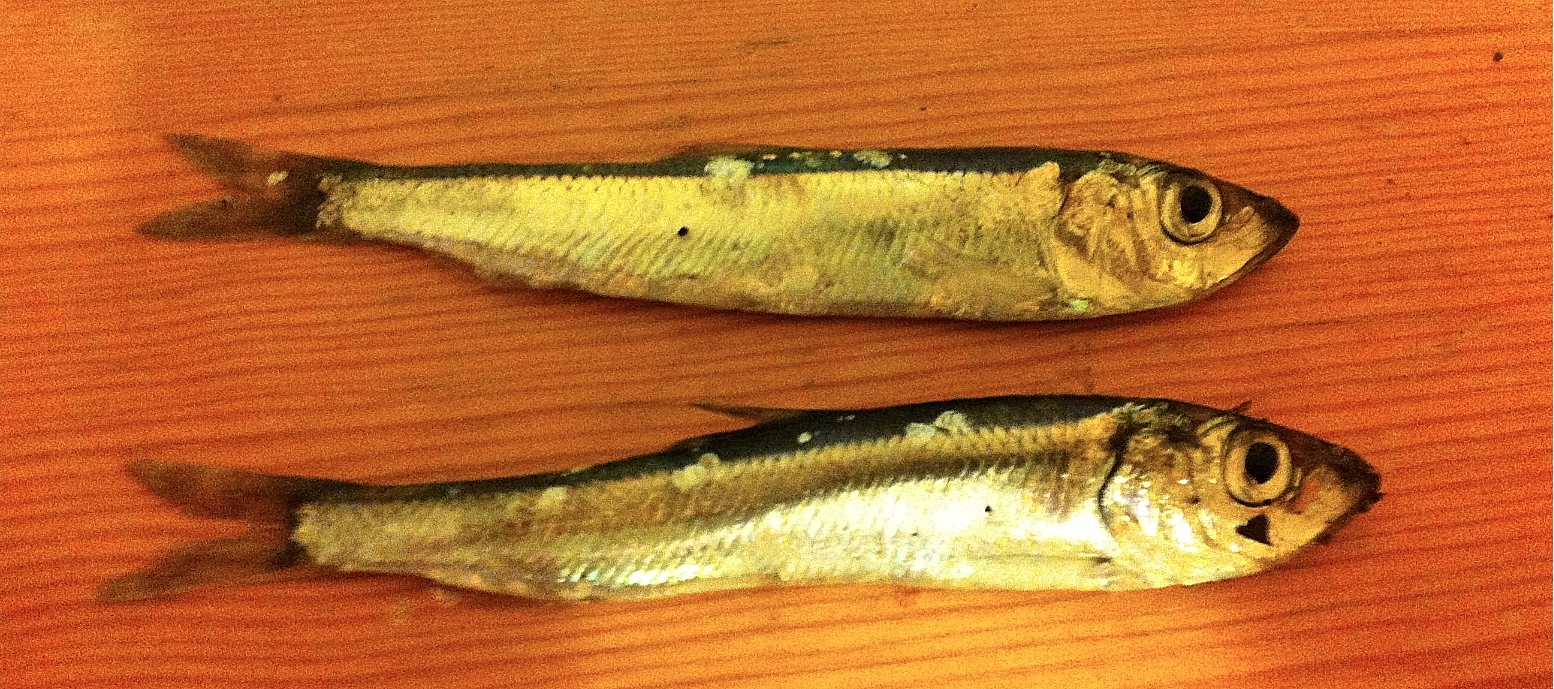
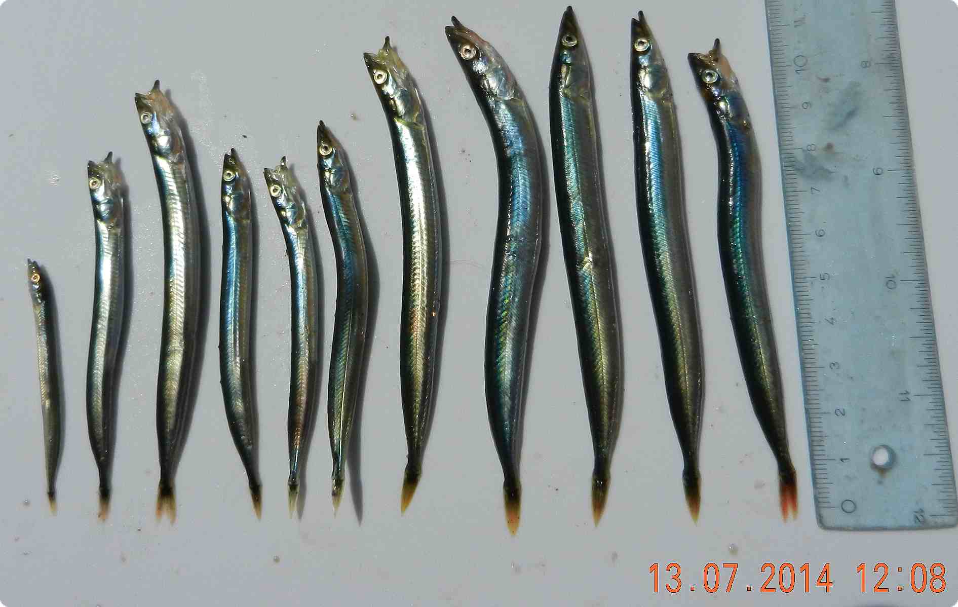
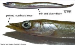
for young salmon growth. Removing overhanging shoreline vegetation from summer
surf smelt spawning beaches causes embryos to die. Vegetation removal reduces key prey for juvenilesalmon and can reduce surf smelt populations. Fish losses affect the entire food web. Vegetated buffer zones are a wildlife migratory corridor and leaf litter provides nutrients to stimulate marine plankton growth.
Maintaining shoreline vegetation is a net benefit to property owners as a free
“ecosystem service” limiting erosion and stabilizing slope soils. Trees and
shrubs absorb large volumes of rain water and filter pollutants. Vegetation
removal may cause large sediment loads to enter the ocean limiting light for eelgrass growth and clogging fish gills.
See also on this website: Land Plants of Coastal Metchosin.

The Link between Salmon and Forest Ecosystem Productivity

In the past few years, Dr. Tom Reimchen of the University of Victoria and his students have established clear relationships between the health of Coastal forest ecosystems and the ocean through the food webs involving salmon.  Below are links from the publications of Dr. Tom Reimchen to  some of the research articles and papers they have published on this topic:

49.    Reimchen, T. E. 2000a.  Some ecological and evolutionary aspects of bear – salmon interactions in coastal British ColumbiaCan. J. Zool. 78: 448-457.  (.pdf version)

60.    Hocking, M. D. & T. E. Reimchen. 2002. Salmon-derived nitrogen in terrestrial invertebrates from coniferous forests of the Pacific Northwest. BioMedCentral Ecology 2:4-14. ( http://www.biomedcentral.com/1472-6785/2/4/qc ) (.pdf version)

63.    Reimchen, T. E.  D. Mathewson, M. D. Hocking, J. Moran and D. Harris. 2003. Isotopic evidence for enrichment of salmon-derived nutrients in vegetation, soil and  insects in riparian zones in coastal British Columbia. American Fisheries Society Symposium 34: 59-69. (.pdf version)

66.    Mathewson, D.,  M.H. Hocking, and T. E. Reimchen . 2003.  Nitrogen uptake in riparian plant communities across a sharp ecological boundary of salmon density. BioMedCentral Ecology 2003:4. (.pdf version)

70.    Wilkinson, C. E., M. H. Hocking, T. E. Reimchen.  2005.  Uptake of salmon-derived nitrogen by mosses and liverworts in Coastal British Columbia. Oikos 108: 85-98.  (.pdf  version)

76. Hocking, M.D and Reimchen T.E. 2006. Consumption and distribution of salmon (Oncorhynchus spp.) nutrients and energy by terrestrial flies Can. J. of Fish. and Aquatic Sciences 63: 2076-2086. (.pdf version)

87. Christie, K. S.,  M.D. Hocking, and T.E. Reimchen. 2008. Tracing salmon-derived nutrients in riparian foodwebs: isotopic evidence in a ground-foraging passerine.  Can. J. Zool. 86: 1317-1323.  (.pdf version).

98.  Hocking, M.D., R. A. Ring and T. E. Reimchen.  2009. The ecology of terrestrial invertebrates on Pacific salmon carcasses. Ecol. Res. (.pdf version)

102. Darimont. C.T.,  Bryan, H.,  Carlson, S.M.,  Hocking, M.D., MacDuffee, M.,  Paquet, P.C.,  Price, M.H.H.,  Reimchen, T. E.,  Reynolds, J.D., & Wilmers, C.C.  2010.  Salmon for terrestrial protected areas. Conservation Letters 3: 379-389. (.pdf version)

TR12. Reimchen, T. E. 2001. Salmon nutrients, nitrogen isotopes and coastal forests. Ecoforestry 16:13-17. (.pdf version)

TR15. Reimchen, T. E.  2004. Marine and terrestrial ecosystem linkages: the major role of salmon and bears to riparian communities.     Botanical Electronic News. BEN#328.    http://www.ou.edu/cas/botany-micro/ben/ben328.html

Crumia latifolia- wideleaf crumia moss

Crumia latifolia was one of the six special species recorded on the 2013 Bioblitz. The following was written by Kem Luther for the Bioblitz 2013 website

entered on iNaturalist at https://www.inaturalist.org/observations/33786772

Team of Bryologists and Kem Luther examining habitat of Crumia sp.

Team of Bryologists and Kem Luther examining habitat of Crumia spp.

” The Bioblitz moss group, (l. to r.) Wynne Miles, Olivia Lee, Steve Joya, and Kem Luther, look at Crumia latifolia. Photo by Garry Fletcher.
Garry Fletcher found this moss on a morning seashore foray along the shores of Parry Bay, at a seepage area above a rock beach. When he brought the moss back to the BioBlitz headquarters for identification, Steve Joya recognized it. The moss team made a detour in the afternoon to see Crumia in situ. “We only have a handful of collections from B.C.,” says Steve, “and these are mainly from islands in the Strait of Georgia area plus one from Limestone Island in Haida Gwaii…. I am not aware of any modern collections from Vancouver Island proper, so the Metchosin record was interesting.
Wilf Schofield, the late doyen of BC mosses, extracted this moss from a motley classification group and moved it to its own genus, naming it after the famous moss biologist, Howard Crum.”
Habitat and ID:

Crumia latifolia normally occurs on seepy shaded calcareous outcrops. The location on the Taylor bluffs is not normally considered to be calcareous.. The seeps originate from a deep glacial till layer.

I returned in the summer and took more pictures of the site and a specimen closeup:
Crumia can be separated from Tortula, a similar species, by the row of swollen, orange colored marginal cells on the leaves.
The following taxonomy is from the ITIS database : www.itis.gov
Kingdom Plantae  – plantes, Planta, Vegetal, plants
Subkingdom:                Viridaeplantae – green plants
      Infrakingdom Streptophyta  – land plants
         Division Bryophyta  – hornworts, mosses, hépatiques, mousses, non-vascular land plants
            Subdivision Bryophytina  – mosses
               Class Bryopsida
                  Subclass Dicranidae
                     Order Pottiales
                        Family Pottiaceae
                           Genus Crumia Schof. – crumia moss
                              Species Crumia latifolia
(Kindb. in Mac.) Schof. – wideleaf crumia moss


Trees of the Coast of Metchosin

Terrestrial and Marine Systems Interact with exchanges of materials and energy between the two. This page when developed further will illustrate that interaction.
Some ideas to be developed here:

1. Energy and materials transfer to the ocean of terrestrial vegetative material  by freshwater runoff . Carbon and Nutrient input from forests to the oceans.

2. The close ties between salmon and forest productivity

3. Overhanging trees in Coastal areas providing shelter and insect food for forage fish.

4. Control of coastal erosion by tree cover.

5. Coastline aesthetics of tree cover.

Link to posts on this website tagged with “Trees”

————————————————————————————–
See the Protected Tree Map of Metchosin
The Protected Trees of Metchosin was a topic of one of the Blue-Green Spaces Walk and Talk Series. The files on the trees have been prepared by Jim MacPherson and Moralea Milne.

Link to the Tree Cutting Bylaw proposal of MEASC, 2013

Link to the  Tree Management Bylaw :

Link to:Times Colonist:  Metchosin stops short of requiring permits to cut trees


First Nations and Coastal Metchosin

First Nations Peoples have lived on the shores of Metchosin for millenia using the bountiful resources of the sea, the forests and the fields of Camus.  Many different groups occupied the shorelands and this location was at the boundary of the lands of the inner Coast Salish people and the outer coast where more warlike Nootka tribes lived The local tribes  were often caught in the middle of intertriibal warfare.  In the documentation that follows from the Race Rocks website, one such group, from 1500 to 1000 years ago inhabited the area and built the many burial cairns still present in fields of Metchosin, Rocky Point and Race Rocks. Then without any record of what happened, that complete cultural tradition disappeared.

Link to posts on this website tagged “First Nations”

Link to the First Nations FIle:

firstnationheader


Clupea pallasii: Pacific Herring

These small herring –12cm were found washed up on Taylor Beach

Herring found on Taylor Beach

Pacific Herring, (Clupea pallasii) found on Taylor Beach-photo by G.Fletcher

Cause of death unknown.
Kingdom: Animalia
Phylum: Chordata
Class: Actinopterygii
Order: Clupeiformes
Family: Clupeidae
Subfamily: Clupeinae
Genus: Clupea
Species: C. pallasii

Link to other posts on this website on Fish ;

Link to the organisms added to our species list for Metchosin shores.

Weir’s Beach erosion.

In July 2013 at Low tide, the loss of sand from near the south end of Weir’s Beach has become obvious. This was predictable because of the hardening of the shoreline several years ago with the installation of large rock rip-rap along the front of the adjacent Weir’s Beach Trailer Park. As many of the references such as  Hardening the shorelines indicates:  “Hard structures, especially vertical walls, often create conditions that lead to failure of the structure. In time, the substrate of the beach coarsens and scours down to bedrock or a hard clay. The footings of bulkheads are exposed, leading to undermining and failure. … Failed bulkheads and walls adversely impact beach aesthetics, may be a safety or navigational hazard, and may adversely impact shoreline ecological functions.”

riprap

Large rock riprap on the berm

trailers1

Trailer park perched on the edge of the berm.

weirserosion

Loss of fine sand material from the beach in front of the trailer park.

See this file for earlier images of the beach and comparisons: https://metchosinmarine.ca/7taylorbeach/weirs/beachcompare.htm

New Seawall on Weir’s Beach

Over the summer of 2013, a new seawalll was built at the south end of Weir’s beach. The purpose of the wall is not obvious, other than to create a walkway to the ocean for the residence above.
The provincial government owns the ocean floor and the foreshore (the area between the low water level and the natural boundary) along Metchosin’s Coastline. This structure sits within this foreshore area, as there is sand at it’s base,  so it is questionable how this shoreline modification was permitted.

UPDATE:

  •  Under the General  Marine Shoreline policies desired works require application to the appropriate Provincial/and or Federal agencies responsible.  This particular property located at 5289 William Head Road was able to proceed under the following conditions: 
  • 1. Requirements of the Department of Fisheries & Oceans must be fulfilled.
  • 2. Any work below the high water mark must have the approval of the Ministry Forests, Lands & Natural Resource Operations
  • 3.  Work was  conducted in April according to the measures outlined in the Ryzuk Geotechnical Report dated March 7, 2013 and the report by Lehna Malmkvist, Swell Environmental Consulting Ltd., March 8, 2013

———————————————————————————————————–

Readers are recommended to read all parts of the publication below before attempting any alterations on shorefront property:

Coastal Shore Stewardship: A Guide for Planners, Builders and Developers on Canada’s Pacific Coast

Another reference on hardening the shorelines states the problem rather plainly: “Hard structures, especially vertical walls, often create conditions that lead to failure of the structure. In time, the substrate of the beach coarsens and scours down to bedrock or a hard clay. The footings of bulkheads are exposed, leading to undermining and failure. … Failed bulkheads and walls adversely impact beach aesthetics, may be a safety or navigational hazard, and may adversely impact shoreline ecological functions.”

southendstairnorth

View of the seawall from the south.

southendstairway

View of the seawall from the beach directly in front.

seawallfrombeach

View of sea wall from the north.

Ammodytes hexapterus: Pacific Sand lance, (Needle fish) : forage fish of Metchosin’s shoreline

See this post on Sandlance on Taylor Beach: gf-sandlance-july1320154

sandlance

Image from the  presentation below

One of the unusual characteristics of sandlance  on Taylor Beach is that in less  thAN a minute after emerging from the sand after spawning, If they are not consumed by crows or gulls, then they will die. ( so far I have not found this reported in the literature?)

Kingdom: Animalia
Phylum: Chordata
Class: Actinopterygii
Order: Perciformes
Family: Trachinoidea  (Bonaparte, 1832)
Genus: Ammodytes
Species: A. hexapteris
Binomial name Ammodytes hexapterus

Ramona de Graaf –2021 provides a good background on the importance of habitat for Forage Fish on our shores.

Metchosin Shoreline Report : MEASC 2013

The Metchosin Environmental Advisory Select Committee of  Metchosin District submitted this report to Council in June  2013.

See the complete report as a  PDF: Metchosin Shoreline Report 2013June 10-2

Executive Summary

The unique values attributed to the Coastal Areas of Metchosin have been recognized both historically and by outside researchers. They have also been outlined at length in the Official Community Plan and other documents produced for the District.

The objective of the Metchosin Shoreline Report is to provide Mayor and Council with a background document and decision-making tools for issues related to Metchosin’s shoreline environment: the jurisdictional boundaries are delineated; examples of ecologically sensitive areas are highlighted; and the biological and geographical values of eight zones of the forty-five km of shoreline are profiled.

The values of biodiversity, education, natural capital, aesthetics, philosophy, and ecotourism are all affected by our coastal areas. Therefore, the risks from human activity on the sustainability of these areas are emphasized.

With the increasing likelihood of changing climatic events impacting on our shoreline, and in order to mitigate these risks, a number of recommendations are proposed for the Municipality to implement:

  1. Create a development permit zone in the area between the end of provincial jurisdiction at the high water mark and the end of the high tide storm-driven wash on the landowner’s property.
  2. Prevent the human caused hardening of the shoreline by sea walls, roadways or bulkheading, and shoreline modifications.
  3. Design a “Coastal Covenant,” which landowners could sign, in order to guarantee the protection of the integrity of their section of shoreline.
  4. Establish and protect vegetation buffer zones along streams and along the total shoreline, including special attention to salt marshes and eelgrass beds.
  5. Protect eelgrass beds by eliminating damage from log booms, docks and other structures.
  6. Divert runoff of fertilizers, pesticides and herbicides from streams and surrounding farmlands away from shoreline, salt marsh, and seagrass habitats.
  7. Develop emergency response plans for the District in the event of a land or ocean-based toxic spill, which could potentially threaten the shoreline.

See the complete report as a  PDF: Metchosin Shoreline Report 2013June 10-2