Who pays for the real costs of the Oil Industry

We often hear that we need to extract oil and ship it overseas in order to support “Canadian jobs and the Economy”  I thought I would provide in this post a few links here to some references worth noting on the subsidization of the fossil fuel industry in Canada . GF

1. In July 2014, The Pembina Institute published a report titled: Fossil Fuel Subsidies: An analysis of federal financial support to Canada’s oil sector.
Published July 10, 2014 by Sarah Dobson, Amin Asadollahi

“The oil industry provides economic benefits in the short and medium term, but more permanent external benefits are less certain and are countered by the sector’s environmental impacts. This paper provides an analysis of federal financial support for the oil sector as well as recommendations on policy options. It recognizes progress made by Canada in phasing out certain subsidies, while noting that remaining federal direct and indirect support measures are largely inefficient and unnecessary.”

2. Fossil Fuels – At What Cost? Government Support for Upstream Oil Activities in Three Canadian Provinces: Alberta, Saskatchewan and Newfoundland & Labrador

Abstract:    Continue reading

Economic Impacts of an Oil Spill

This  recent cover story by Lovel Pratt in the Whatcom Watch Onlinehttp://www.whatcomwatch.org/php/WW_open.php?id=1795 is well worth reading for Metchosin residents .
Examples it has stated:

  • “The consequences are huge: The Department of Ecology(Washington State)  estimates that a major oil spill in the state would cost 165,000 jobs and $10.8 billion in annual economic activity.
  • However, these figures are undervalued because, in addition to being two years outdated, this estimate does not include any costs associated with the impacts of oil spills to privately owned shoreline and water-view properties.”
  • “Property owners may be required to evacuate if faced with fire danger and/or air pollution from emissions of benzene and other volatile organic compounds. If evacuation is not required, shoreline and water access could be cut back or prohibited. Water views would be spoiled by oil slicks and noisy cleanup operations, and oiled shorelines would likely be mechanically cleaned by pressure washing and bulldozing.–Property owners also face losses to assessed values. A study conducted in British Columbia revealed that privately owned properties can lose from 10-40 percent in value, and even properties near spills that are not directly affected can lose value by association.”
  • “Typical homeowner’s insurance would not provide compensation in the event of an oil spill. Pollutants are excluded in property policies unless the coverage is specifically defined to include the pollutant. According to my local insurance agent, unless a homeowner’s policy specifically covers oil spills, there would be no compensation for loss of use or loss of value resulting directly or indirectly from an oil spill. Further, it would be both difficult and most likely quite expensive to find such coverage.
  • “The Exxon Valdez oil spill, which hasn’t been completely cleaned up after 25 years, still has continuous and compounding environmental and economic impacts.8 Washington State can’t afford that tragedy. The 165,000 jobs and $10.8 billion in annual economic activity don’t accurately estimate the costs that such a catastrophe would have on the state.”
  • See the well-referenced article here: http://www.whatcomwatch.org/php/WW_open.php?id=1795
  • Thanks to Andy MacKinnon for pointing to this.

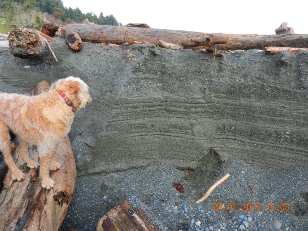
Sediments record tidal and storm levels.

2015-01-08 strata-ginger

Ginger “studying” the high tide level beach deposits.


Last week we had a very high tide, and storms from the north-east which had temporarily blocked  the exit to Gooch Creek on Taylor Beach. The water in Gooch creek swamp rose over a metre before breaking through and washing out on the beach. As the beach has eroded down, the record of the previous weeks of tide levels and storm surges is exposed in this eroding bank where the water exits on the beach.

Lost and Found on Taylor Beach

2015-01-08cupsonbeach2

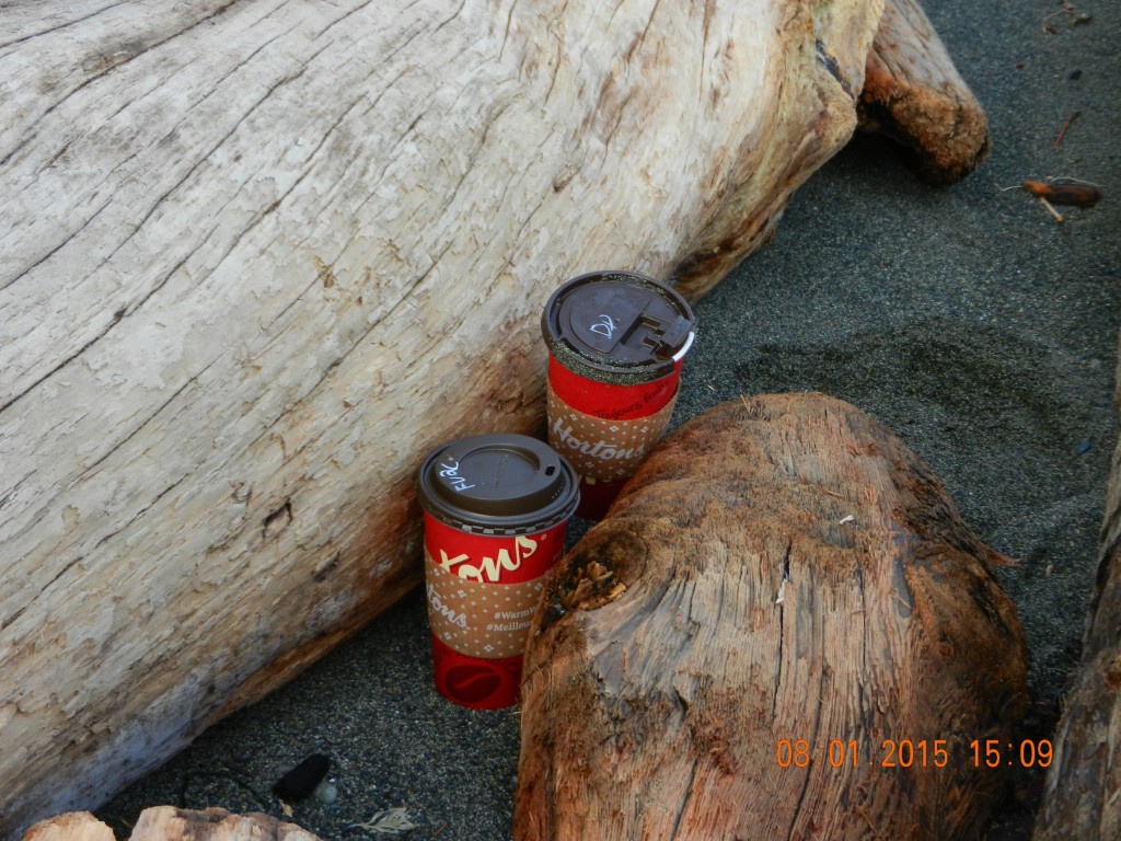
Tim Hortons coffee cups, complete with non-biodegradable plastic lids . Neatly stashed in the logs.

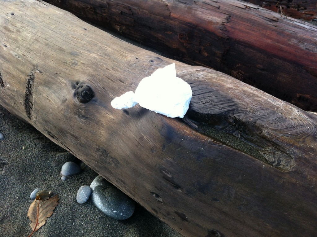
In the past few weeks a few objects have been “mistakenly” left by visitors  to Taylor Beach. There are several local residents who always help to keep the beach clean but regularly encounter these possessions.  We do hope that future visitors aren’t so forgetful.

2014-12-06dogbag2

Non-biodegradable plastic bag , neatly tied, complete with dog excrement inside.


Cliff failure on Taylor Beach

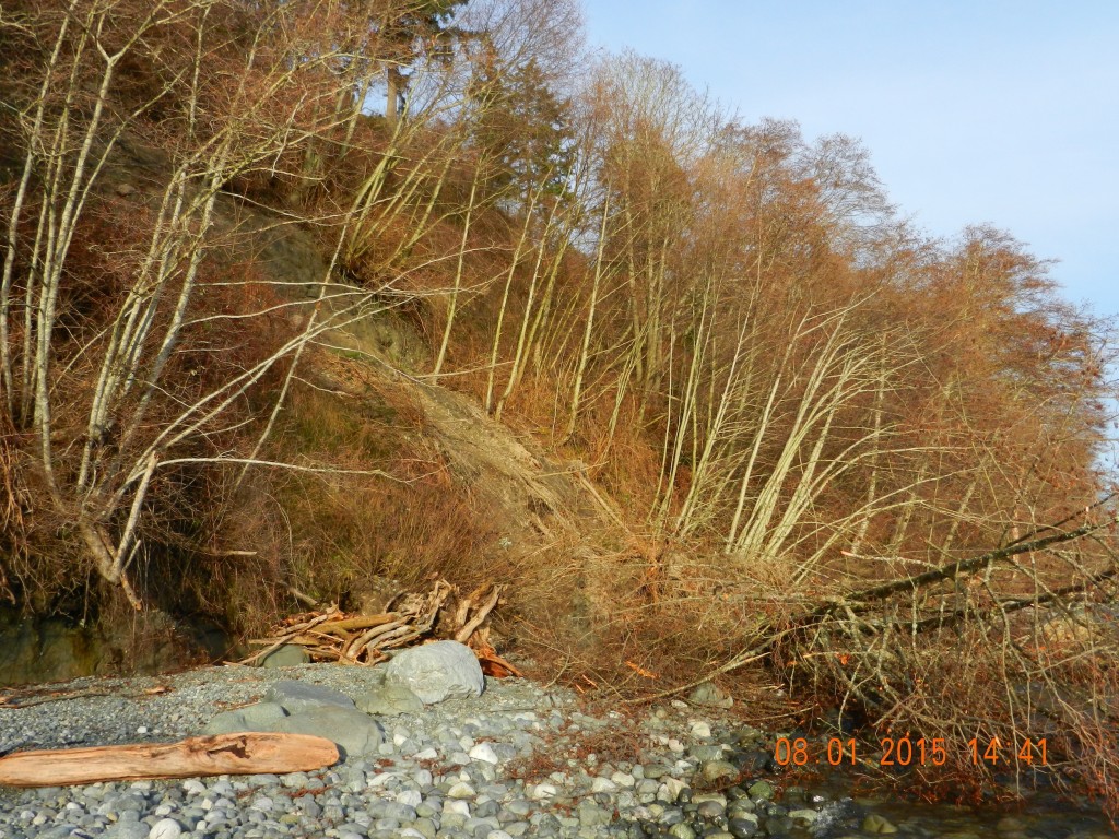
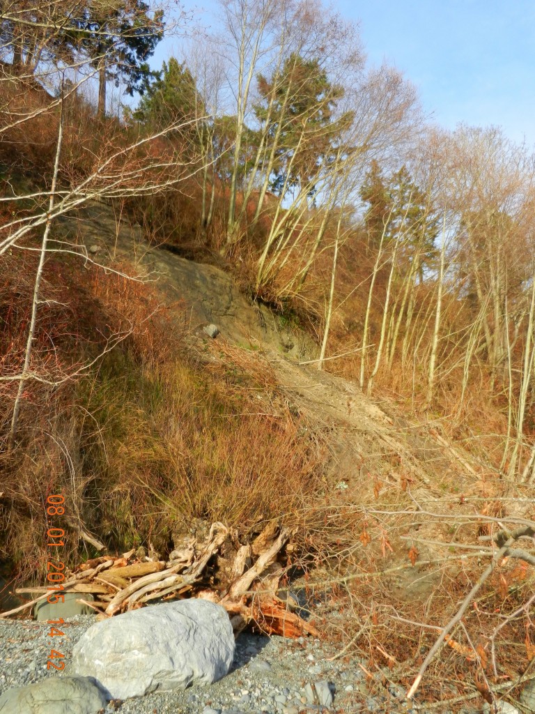
In the last 24 hours, a large slump has occurred on the Taylor Beach cliff. This is located just at the north end of the beach component. The properties along the top of the cliff have for several years experienced various human impacts which have likely contributed to this erosion.

  • Disposal of yard waste over the bank.
  • Removal of trees on properties to create better viewscapes
  • Building too close to an erosional bank feature
  • Topping of trees on the cliff face to improve views
2015-01-08taylorslump

Taylor Beach slump. G. Fletcher photo.

This Cliff is all included in the Hazard lands DPA, and it is also a naturally occurring geological erosional feature which, unfortunately poor enforcement over the years has contributed to this problem.

There remains further evidence of slipping in the separated section showing a grey clay bank along a wider stretch of this bank so we can anticipate more similar events.

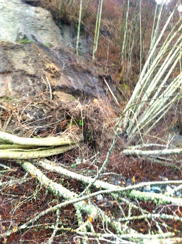
Currently a large deposit of soil, broken mature alders and debris remains on the beach. The next big storm from the East at a high tide will clear this out causing increased sedimentation along the inter and sub-tidal areas off shore.  There us a thriving community of organisms on this shore so an impact on those populations is predicted. .

2015-01-08taylorslump3 copy

Taylor Beach erosion- G. Fletcher photo.

2015-01-07 cliffslide

Taylor Beach erosion with tangle of alders. G. Fletcher photo.


Post North-easterly Storm on Weir’s beach, Dec 2014

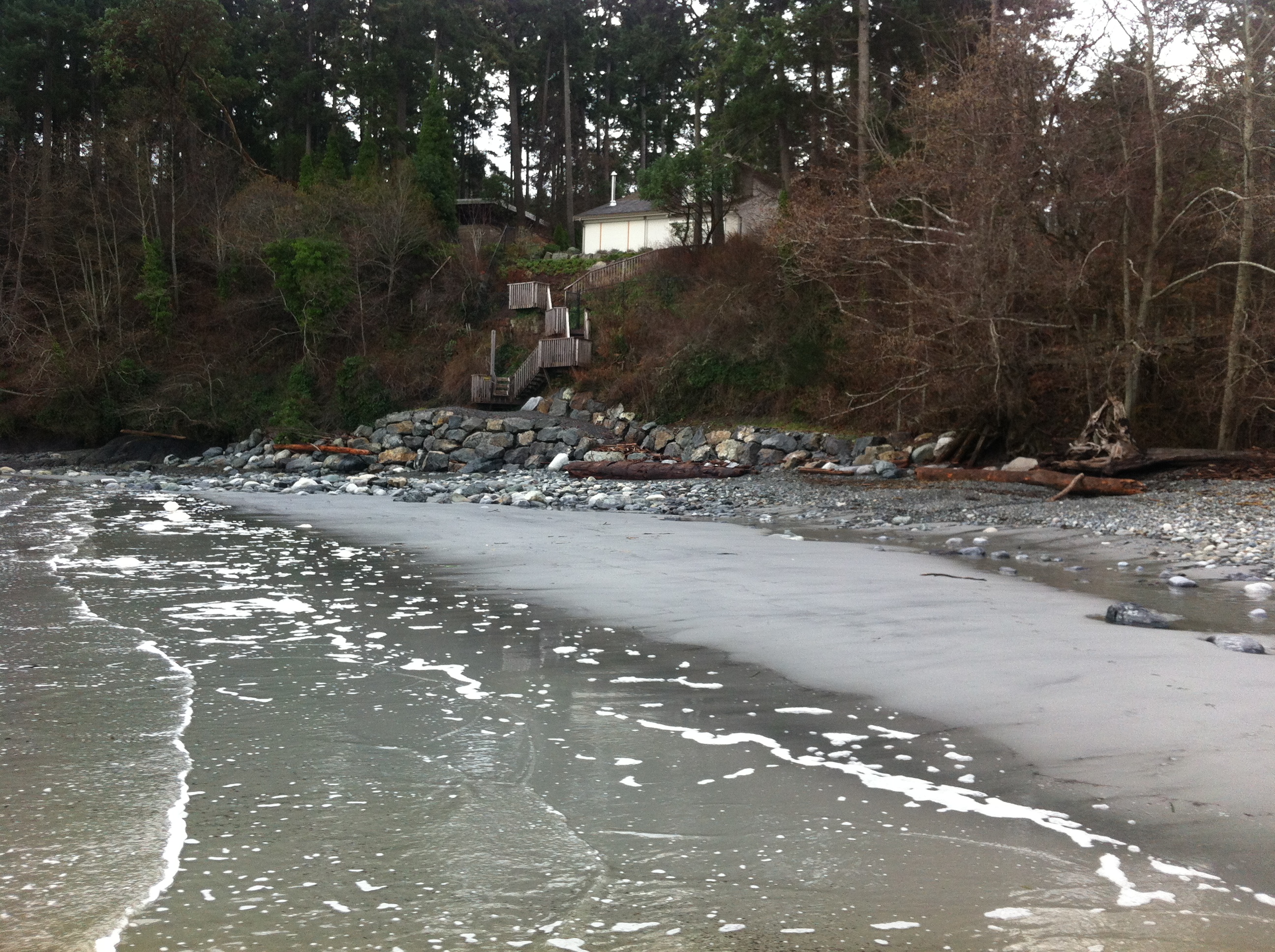
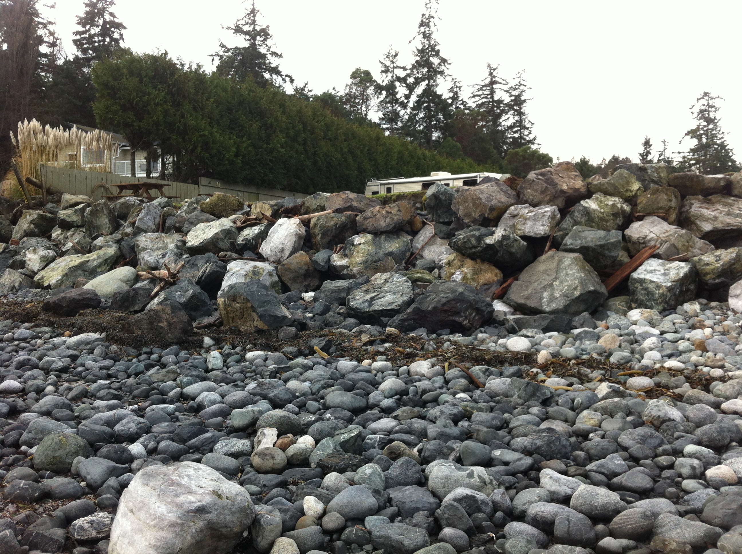
During the past few weeks, we have experienced several storms out of the north east at high tide. These images were taken to document some of the on-going problems from the extensive rip-rapping and seawall construction on that beach. See this page for summer 2013 images for comparison.

2014-12-26 weirserosion2

The solid sea-wall built only last year will lead to increased scouring and removal of sand. Unfortunately it will not only affect the crown land property in front of the wall, but the crown land foreshore adjacent to this property .


2014-12-26 weirserosin

Recent storms have dislodged many of the boulders near the south end of the beach. Note the rubble foreground which was previously sand beach.

2014-12-26 controlgate

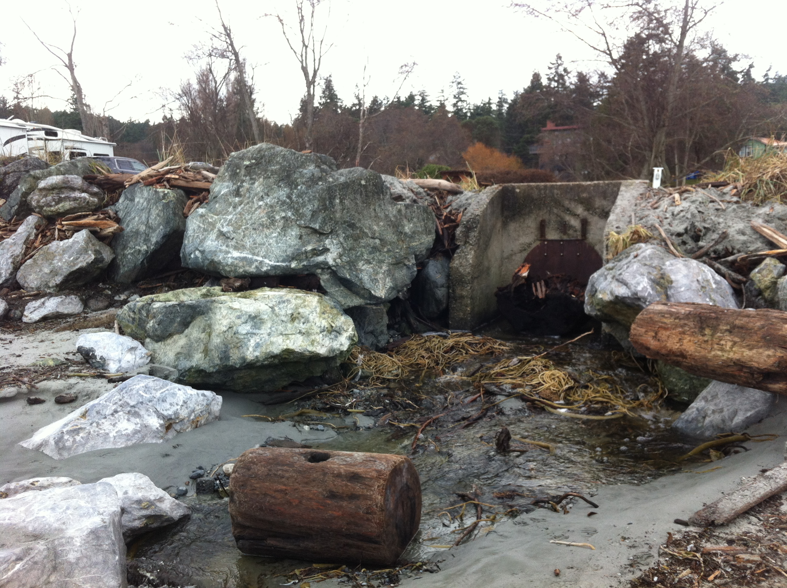
This concrete control gate was built many years ago to control flooding into a lagoon. The rip-rap boulders around it have been disturbed by wave action.

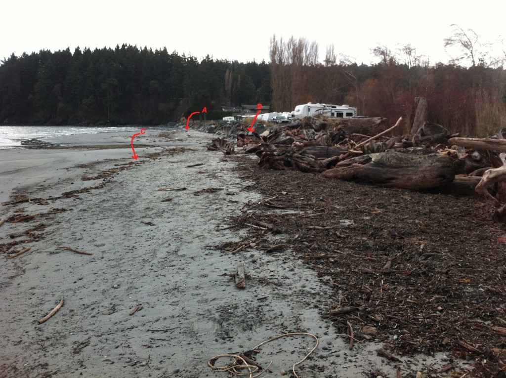
2014-12-26 weirsbeachwidth

Site A= south end of the beach-sand eroded from base of rip-pap wall. Site B The border of where the rip-rap ends and the natural beach (going northward,) begins. C=the widened sand beach area backed by the natural beach. Scouring of the sand does not occur as it does further south on the beach.

2014-12-26 natural-portion

The berm on the North end of Weir’s beach is in a more natural state with logs and debris thrown up by storms. The and natural beach vegetation and debris absorbs the impact of the ocean energy and no scouring of the beach sand has occurred. This will lead to long-term beach stability and erosion-resistance.

See other posts and references on hardening of the shorelines by clicking on links below.
See this file on early pictures of Weir’s beach

Elephant Seal-dead on Weir’s beach

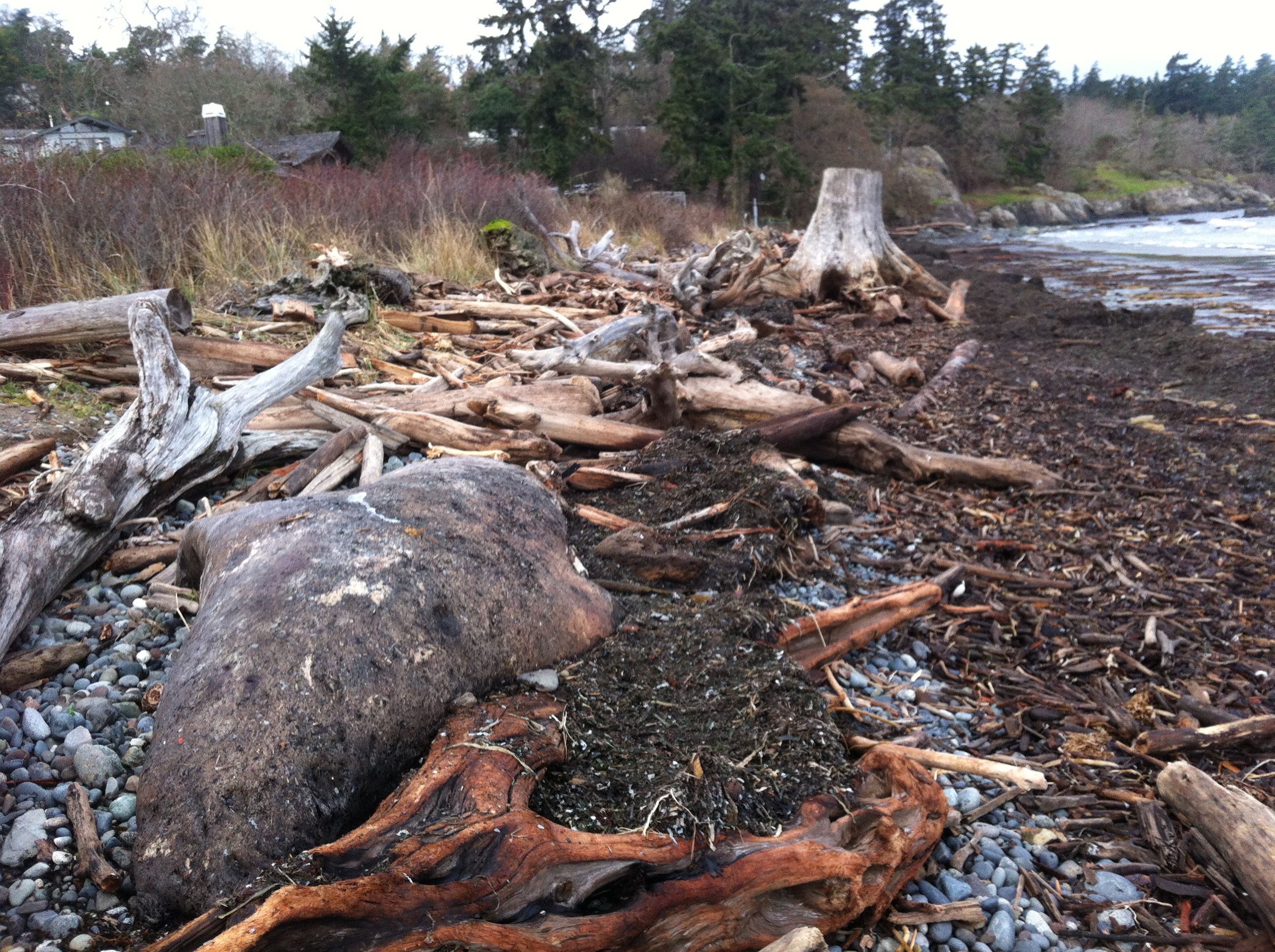
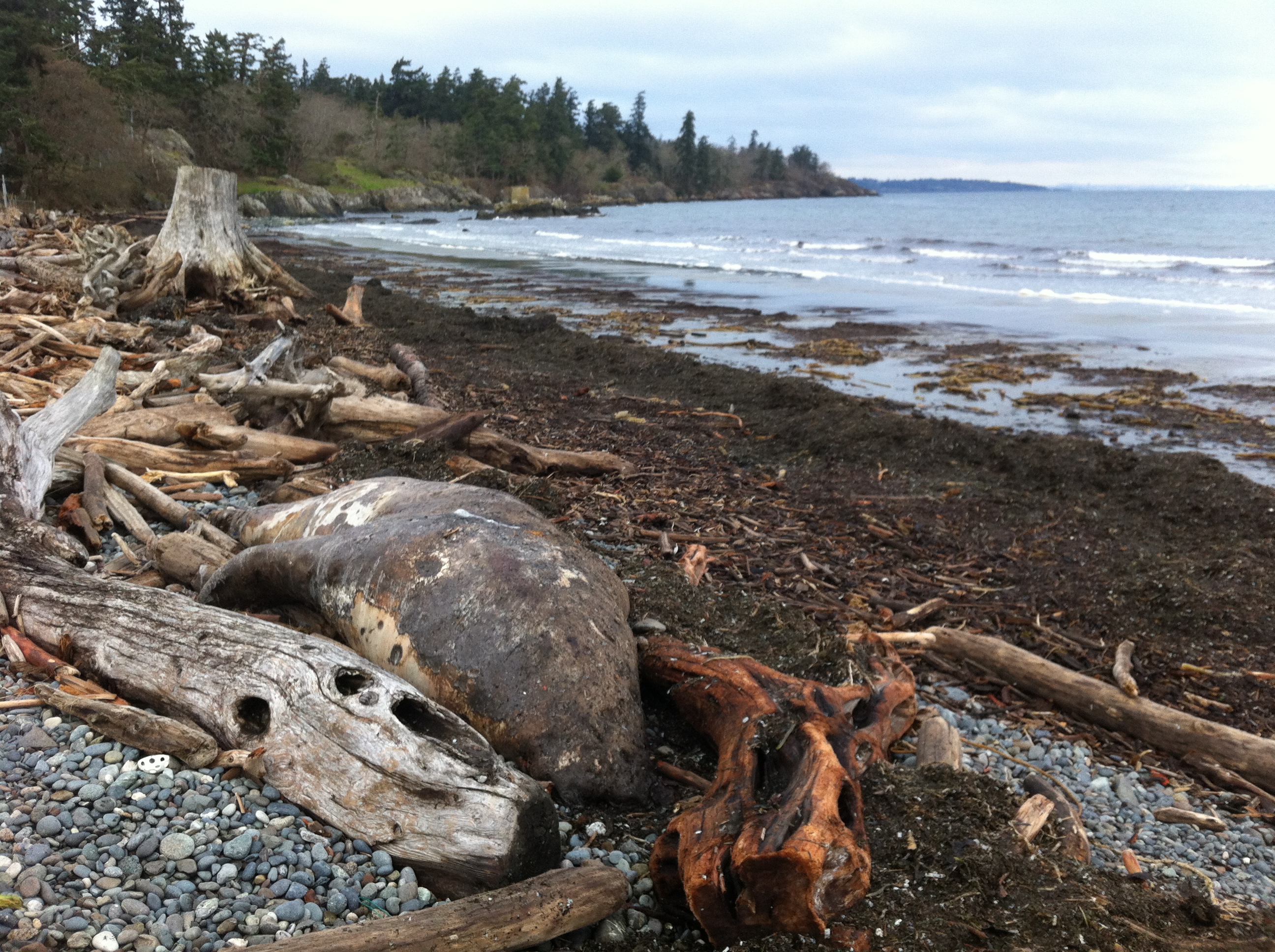
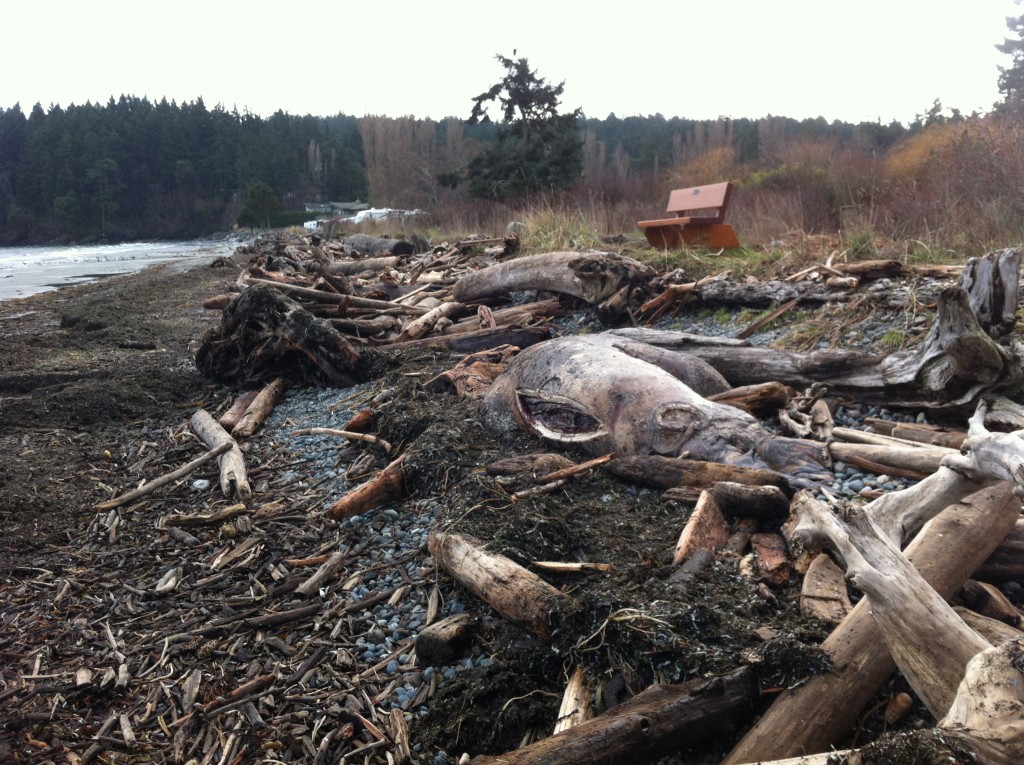
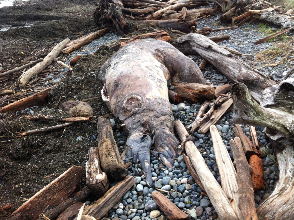
Metchosin resident Jan Poulin reported a dead marine mammal today on Weir’s beach. Below are some pictures. It looks like a mature male, up to 4 m in length. It had been washed up in the swell form the North East storms over the last week. It has been dead for some time and will eventually probably cause a problem for the residents of the area. It has been reported to DFO.

2014-12-26 gfweirselsealdead

male elephant seal, dead on Weir’s Beach photo: G. Fletcher

Other images of the elephant seal : December 26, 2014


Images of Tankers and Marine Animals at Race Rocks.

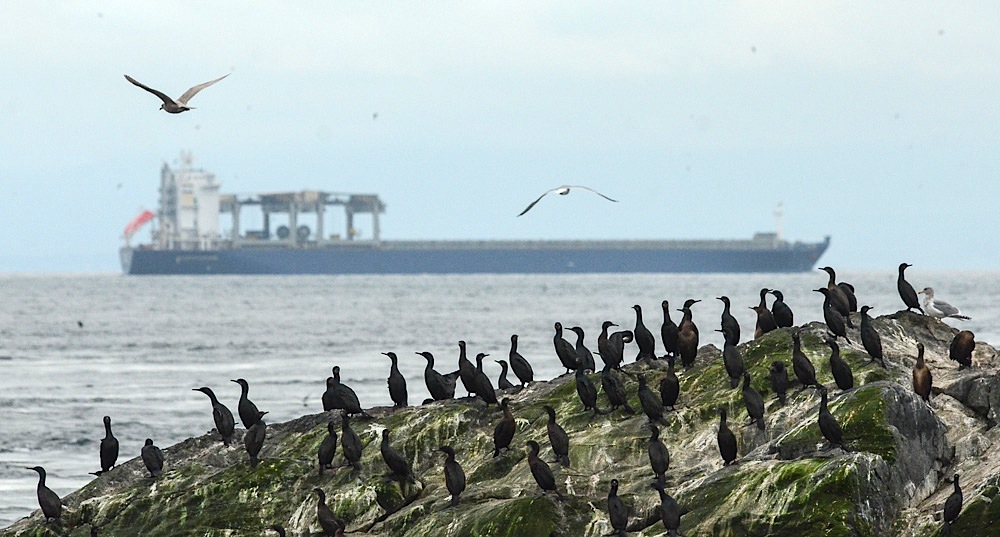
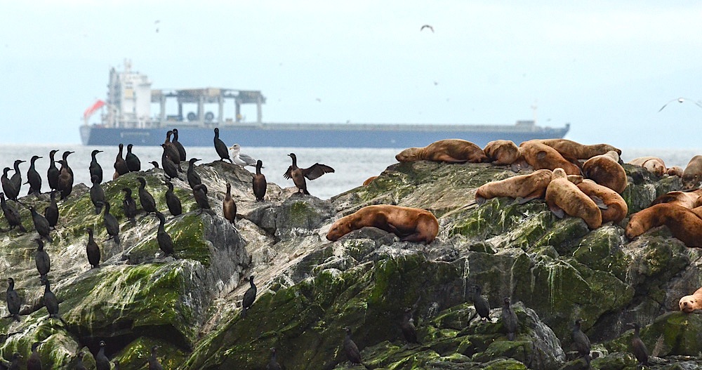
The vessel traffic lane in the Strait  of Juan de Fuca is very narrow and it llies within 3 to 5 nautical miles of the boundary of Race Rocks Ecological Reserve.  The ecoguardians at the Race Rocks Ecological Reserve have contributed photos of  the local fauna, with tankers in the background  and we have posted them on this page:

DSC_7127

Cormorants and Sealions with a 300 metre tanker in the backgound: photo by Alex Fletcher.

DSC_7137

Cormorants and Sealions with tanker in the backgound: photo by Alex Fletcher.

Letter of Support for the BC Government Motion of Dec 5 from the Board of FER

Our shoreline and Race Rocks Ecological reserve are  at risk of an oil spill. Metchosin resident Garry Fletcher and Victoria resident Mike Fenger have been Intervenors in the NEB Kinder Morgan/ Trans Mountain Pipeline Proposal Hearing  on behalf of the Board of Friends of Ecological Reserves. The letter linked here was sent in support of the Province of British Columbia’s  attempts to have full disclosure of the emergency Plans of the WCMRC (Western Canada Marine Response Corporation). ( which happens to be over 50% owned by Kinder Morgan…)

RE: Notice of Motion by the Province of British Columbia submitted December 5, 2014 OH -01- 2014 Trans Mountain Pipeline ULC (“Trans Mountain”) Trans Mountain Expansion Project (the “Project”) File Number OF-Fac-Oil-T260-2013-03 02

As an Intervenor in the above mentioned application, the Board of Friends of Ecological Reserve’s (Board of FER )provides the following comments in support for BC’s Motion submitted by the Province of British Columbia on December 5, 2014.
Please be advised that the Board of FER supports the order sought in the Province of British Columbia’s Notice of Motion dated December 5, 2014:————-

The complete text of this letter can be viewed here on the National Energy Board Website .

 Internal FER website link to this pdf:

Special Report: Tar Sands Reporting Project

Ed note: This link  is included here as an ongoing record of the problem associated with the tar sands project which has resulted in the Kinder Morgan Pipeline Expansion and the Northern Gateway Project of Enbridge.   It is an indication of the state of the Social License Oil companies have achieved with such projects.

mine-site-oil-sands_N3G4651_webSpecial Report: Tar Sands Reporting Project
From the Vancouver Observer: “
Our award-winning team’s crowd-funded series on the people, places and conflicts associated with Canada’s tar sands.”