BC Government Publications Index for Stewardship Centre on Coastal Planning and Land Use

BC Government Publications
Index for:
Stewardship Centre for British Columbia
Coastal Shore Stewardship: A Guide for Planners, Builders and Developers on Canada’s Pacific Coast

http://www.llbc.leg.bc.ca/public/pubdocs/bcdocs/368207/

The four PDFs linked to this government site have also been included here since we find that external URLs often change:
Part 1: Coastal Shore Stewardship A Guide for planners, Builders and Developers on Canada’s Pacific Coast: part1

Part 2  Coastal Planning and Approvals, Who does What: part2

Part 3  Don’t disrupt, Don’t harden, Don’t pollute: Land Development,  Marine Facilities, Seawalls and Revetments, etc.   Links to many  Stewardship resources; part3

Internet resources: internetaddresses

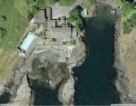
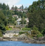
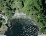
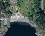
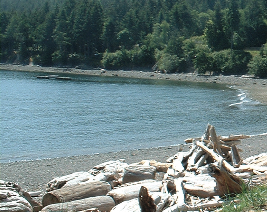
Anthropogenic habitat modification from Witty’s lagoon to the south side of Albert Head.

This area has in the past been modified significantly from the natural shoreline. Several seawalls have been installed in the past to deal with drainage problems or erosion threats , or to improve sea views or add to usable property on the foreshore. Typically land owners do not like to be criticized for actions on their properties which they believe will be constructive. However current  standards as outlined  in the documents “BC Government Publications Index for Stewardship Centre on Coastal Planning and Land Use” would probably not allow such impacts any more.


The images below were from earlier aerial photos of other modifications in the area.

Aerial views courtesy of the CRD NATURAL AREAS ATLAS

Return to the sector 8 

Some interesting statistics about the shoreline of Metchosin

If one goes to the CRD Natural Areas Atlas and uses the measurement tools, you can find out some interesting facts about the extent of Metchosin’s Coastline.

The total land based shoreline of Metchosin : 48,660 metres (48.6 km)

Total length of shoreline around islands off Metchosin’s shore:
23,118.5 metres (23 km)

Total length of the shoreline of the Race Rocks Islands: 3500 metres.  (3.5 km)


Sharing our Shoreline

Values and Views
Island Trust Communities
Marine By Nature
The Islands within the Salish Sea have been  shaped by ancient glaciers and modern oceanic forces. Whether you visit the islands seasonally or live here year round, Islanders treasure the marine environment.  The North Pender Local Trust Committee has developed this brochure to introduce you to where sensitive marine habitats exist, how you can recognize them, and what simple steps you can take to ensure our local waters continue to support a vibrant and abundant marine ecosystem.

This PDF has been produced by the North Pender Island Local Trust Committee: Sharing Our shorelines_lowres

IslandstrustContents:

Clean Water
Shoreline erosion
Coastal Bluffs and Shoreline beaches
Marine Riparian Vegetation
Intertidal Habitats
Beach-spawning Forage Fish
Eelgrass habitats
Kelp Forests and Rocky Reefs
Marine shorelines as critical fish habitats