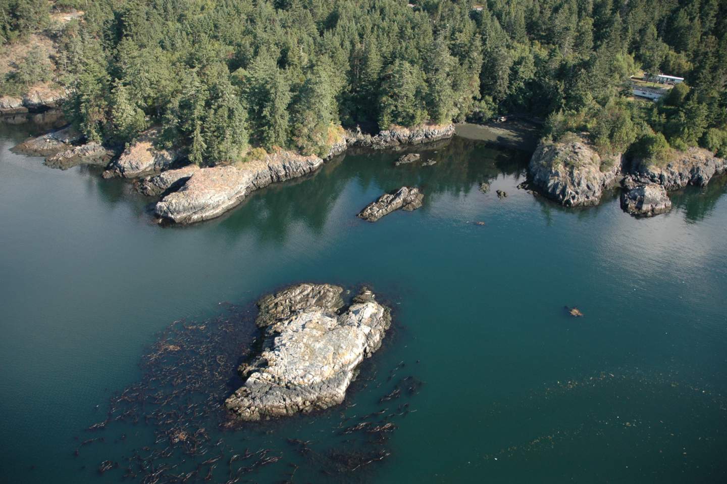
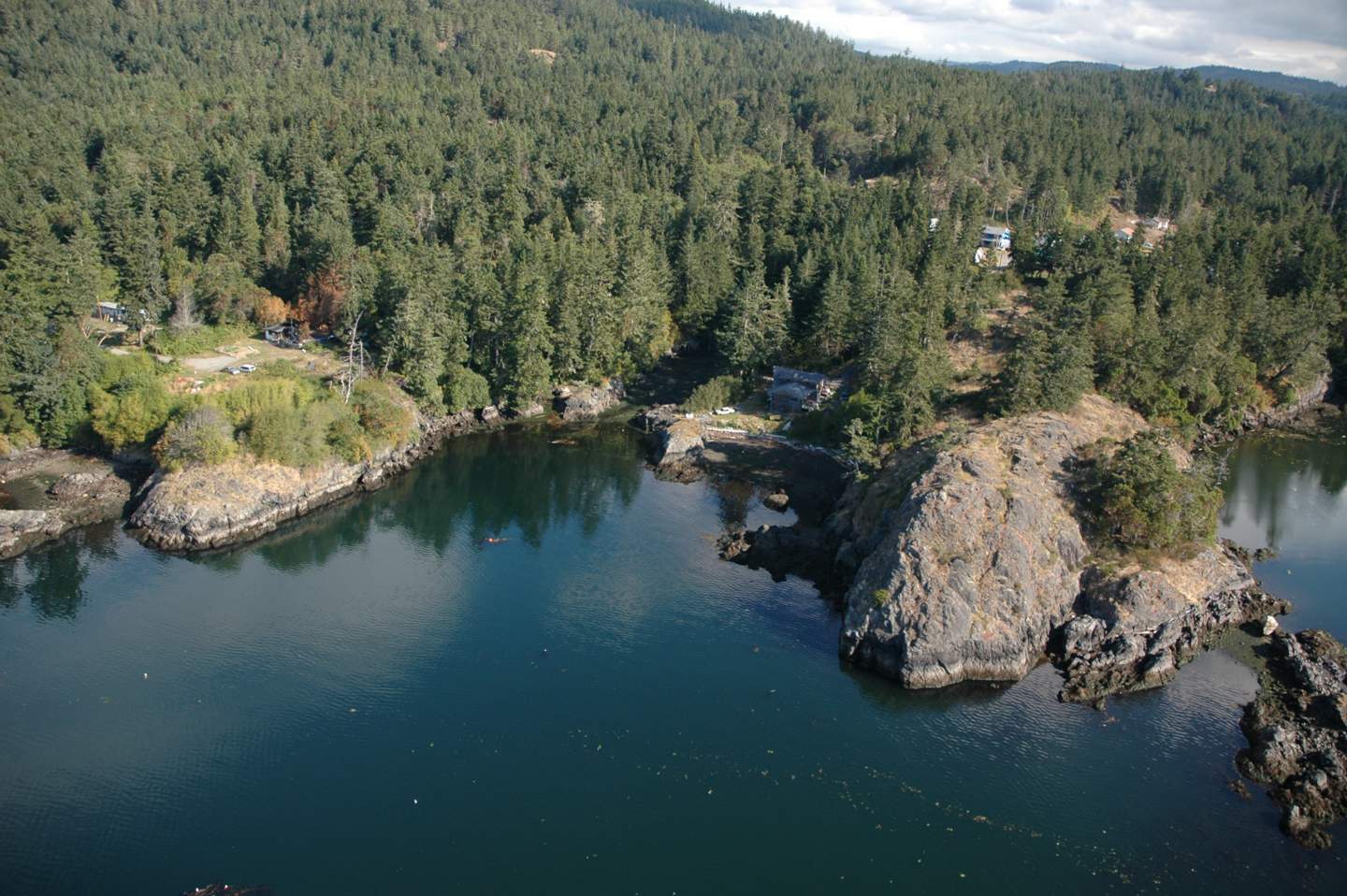
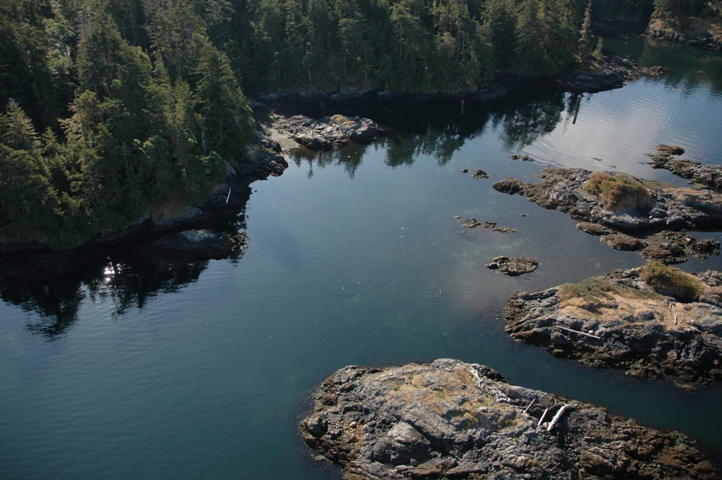
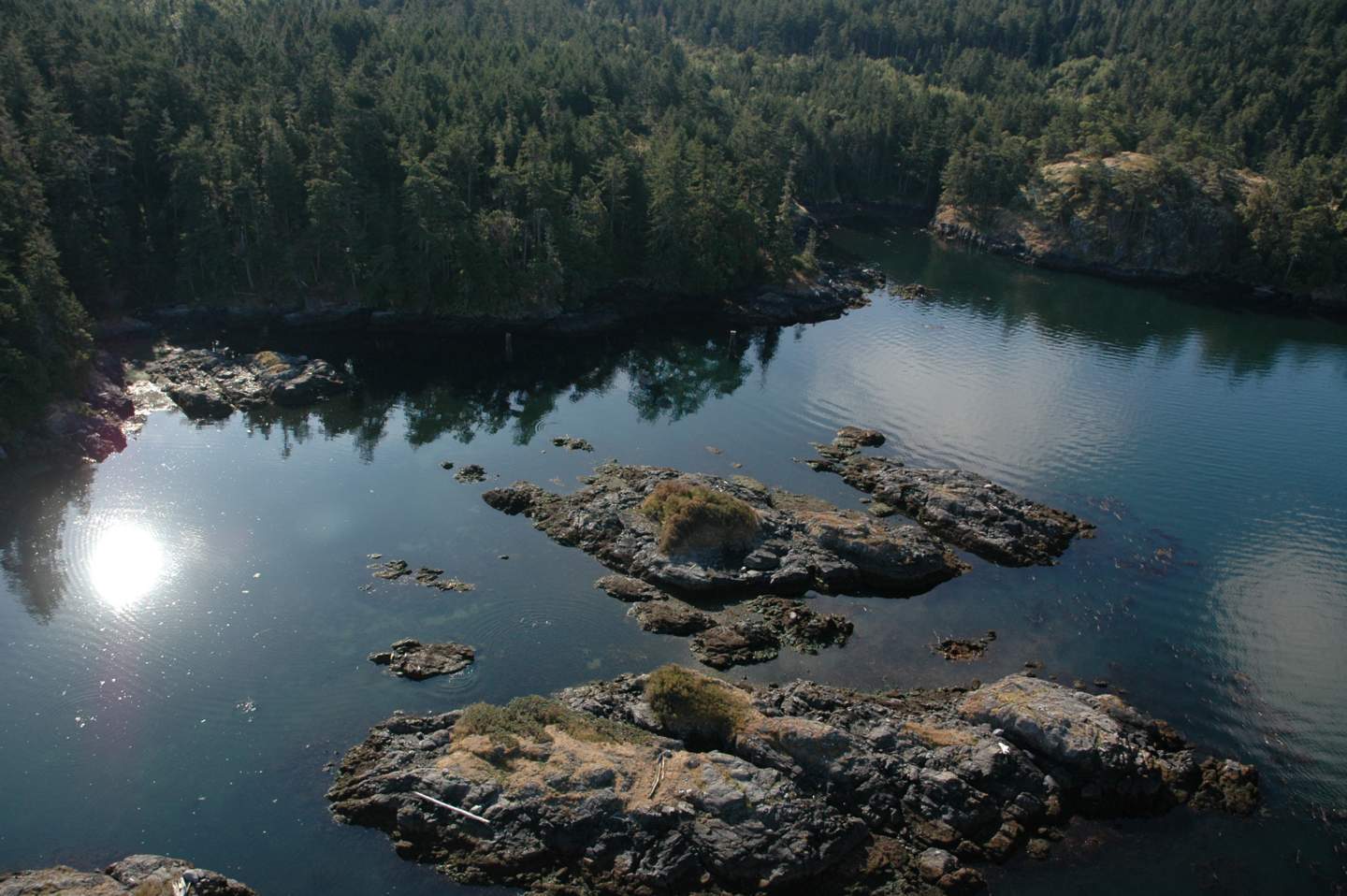
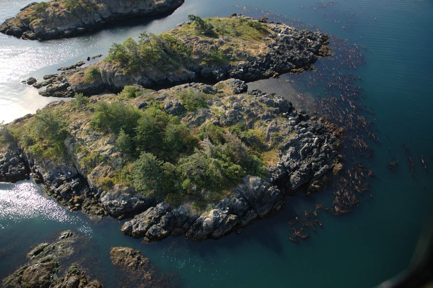
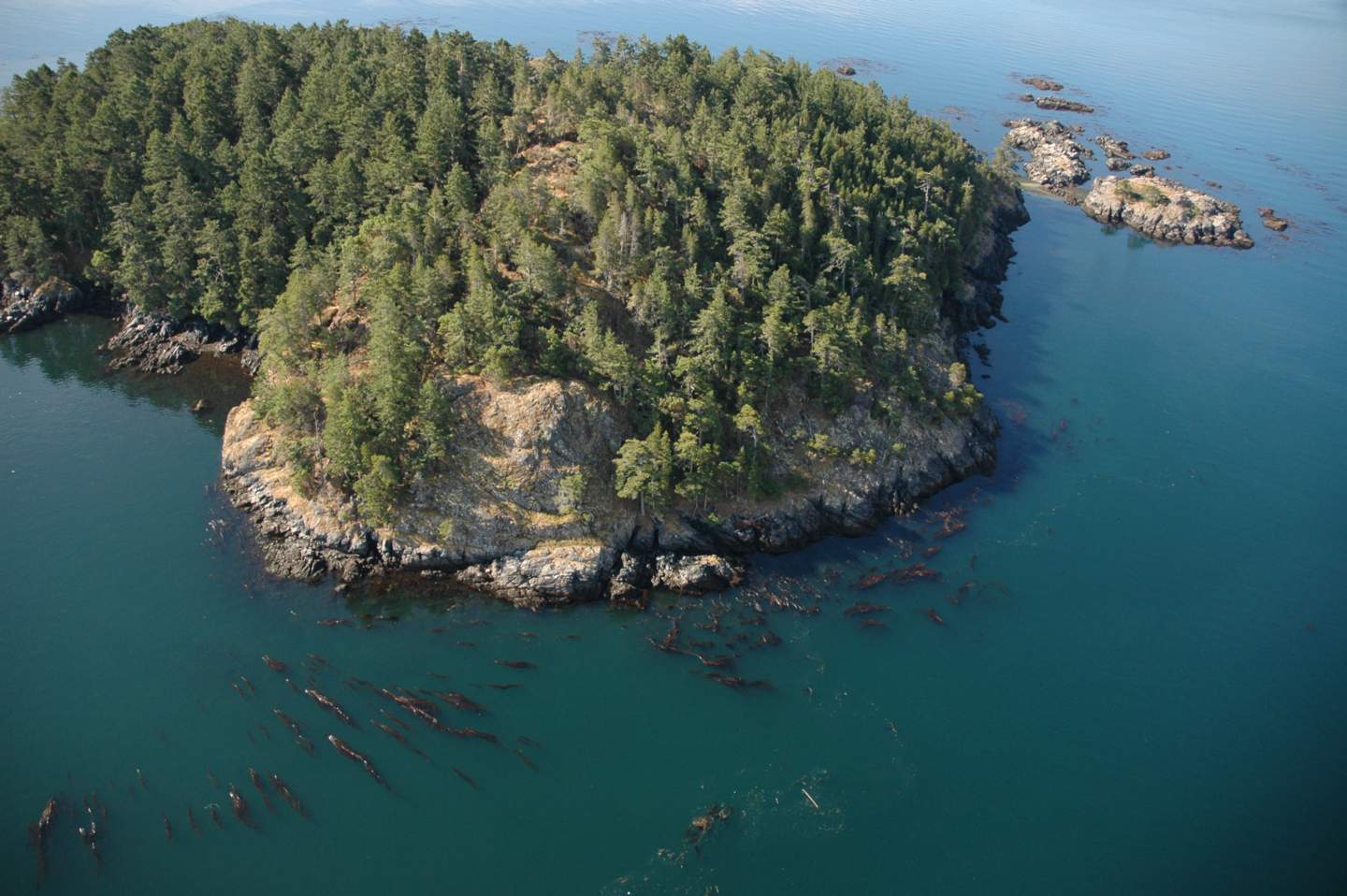
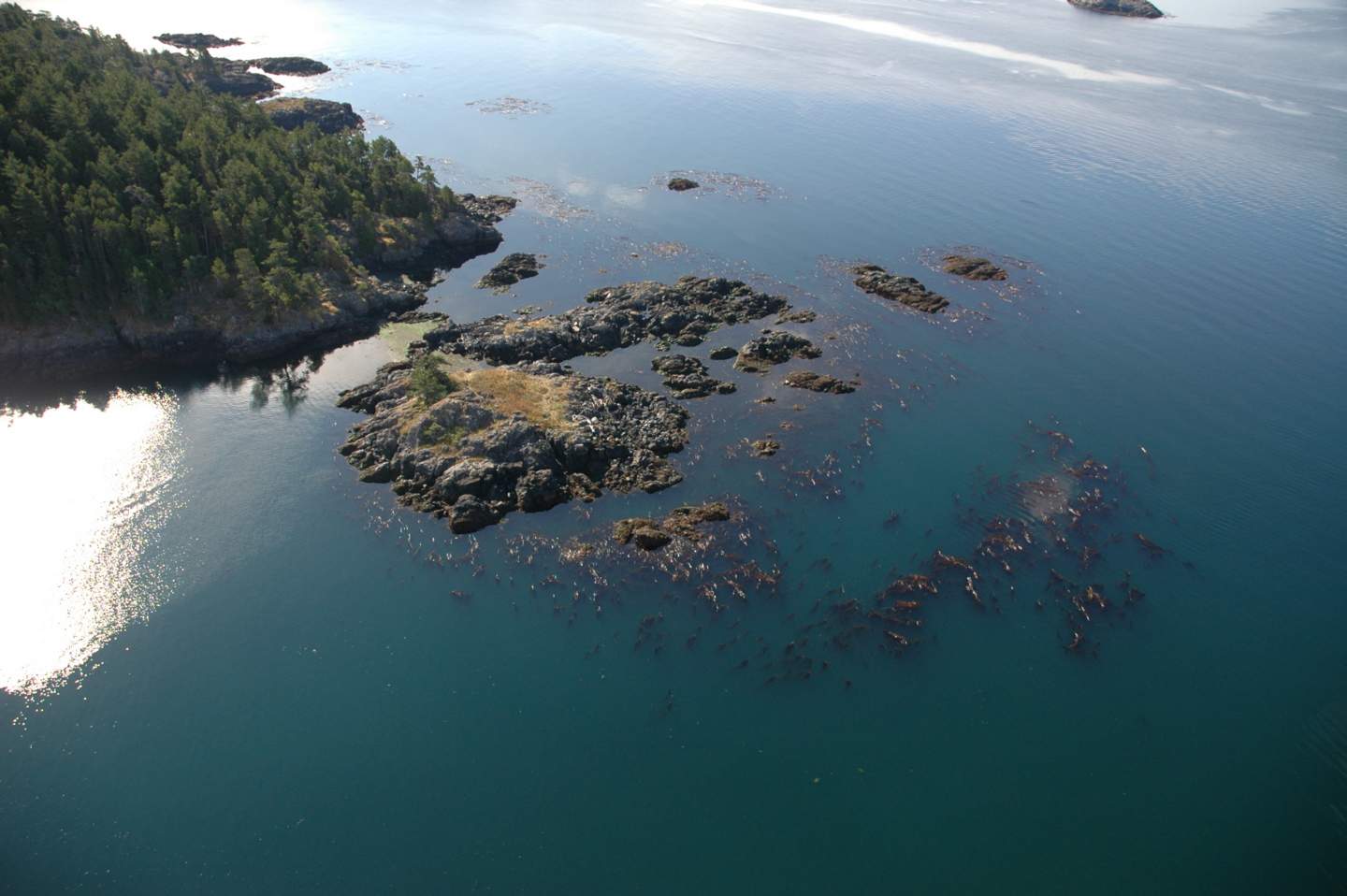
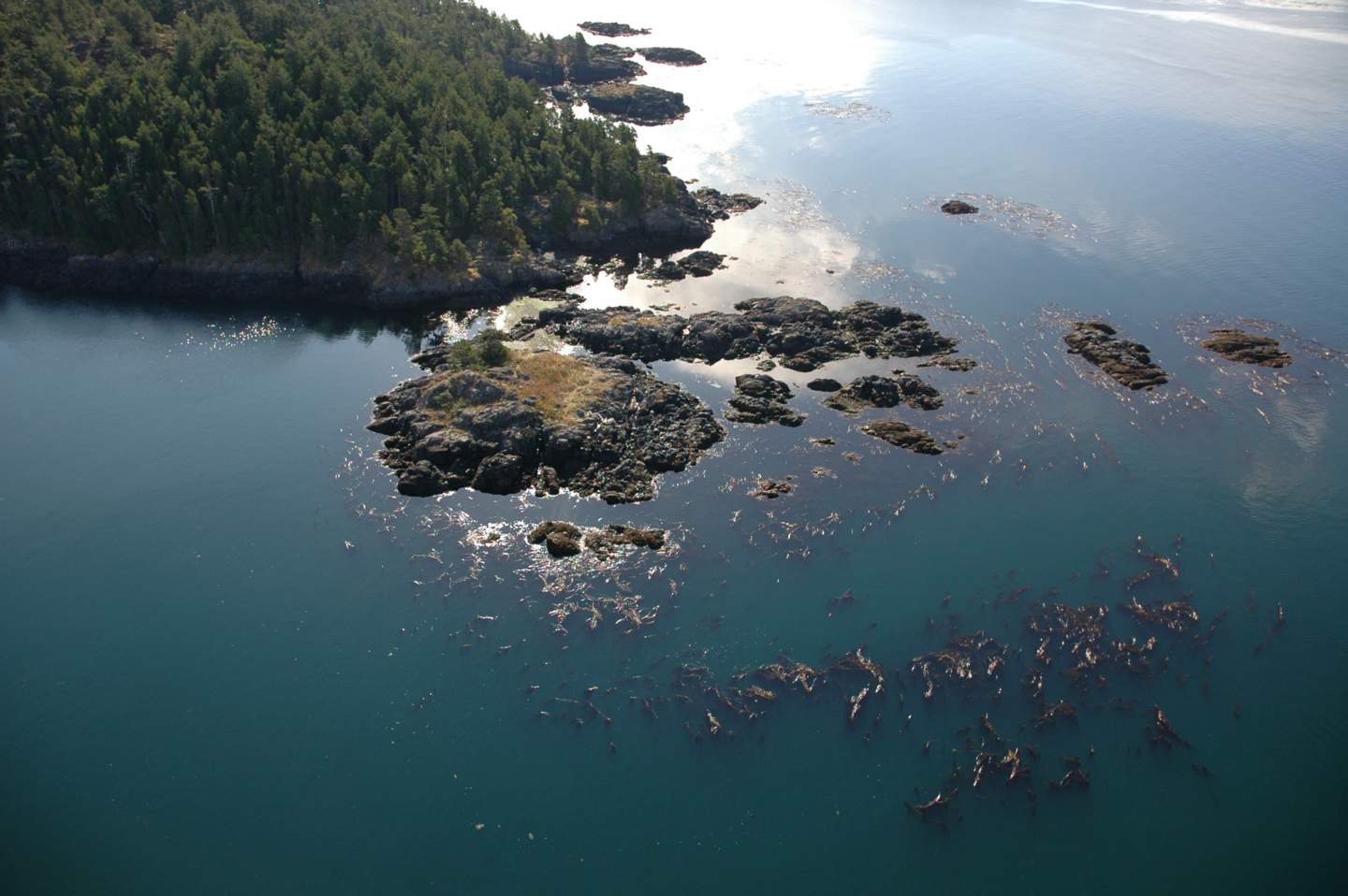
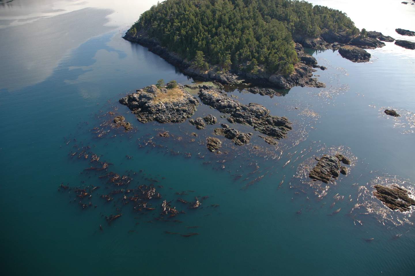
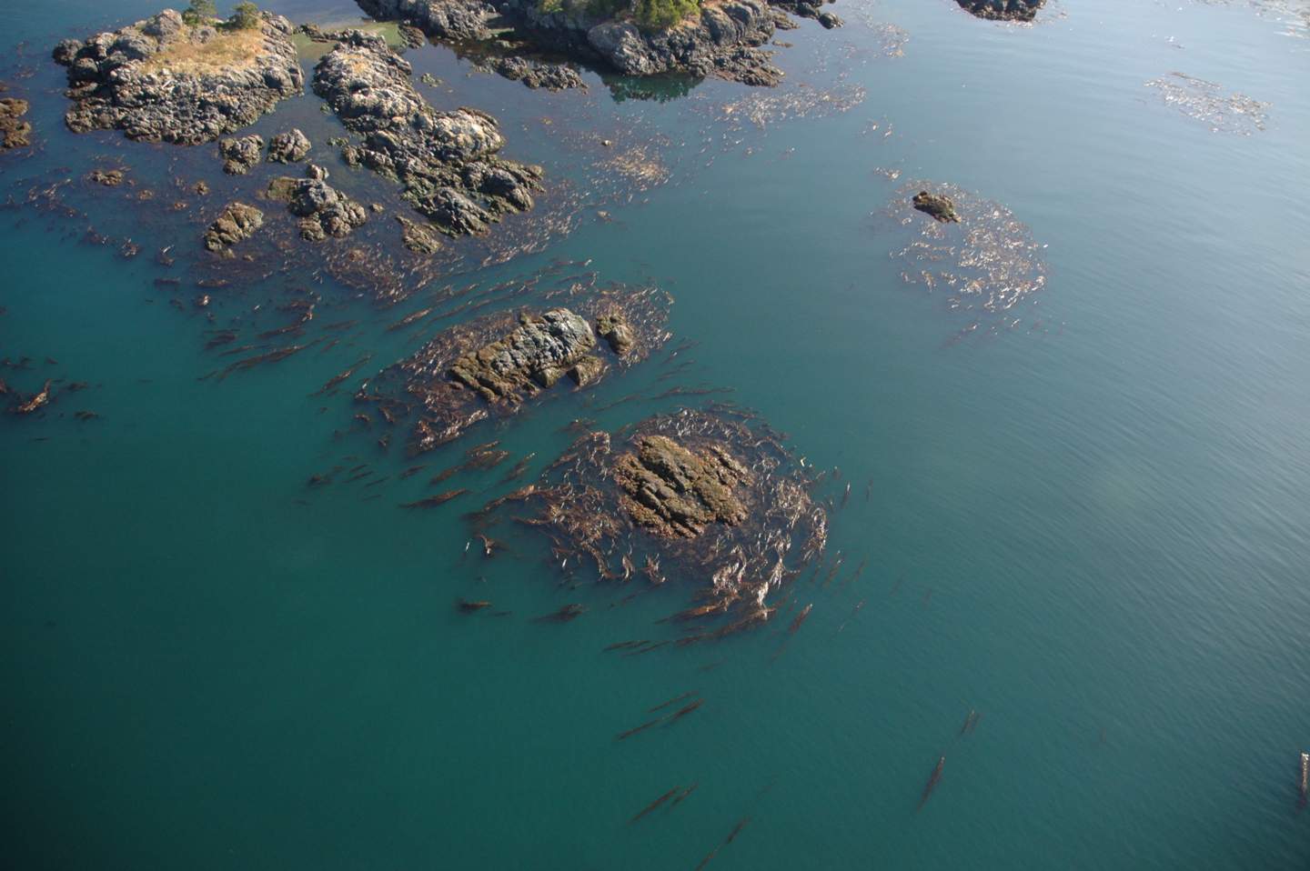
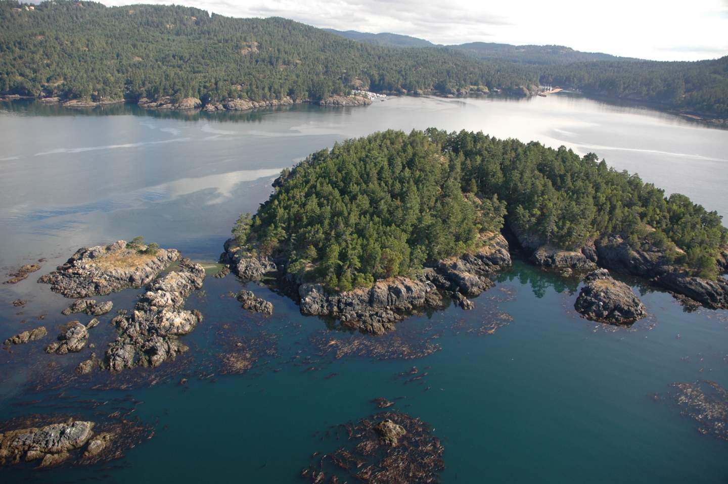
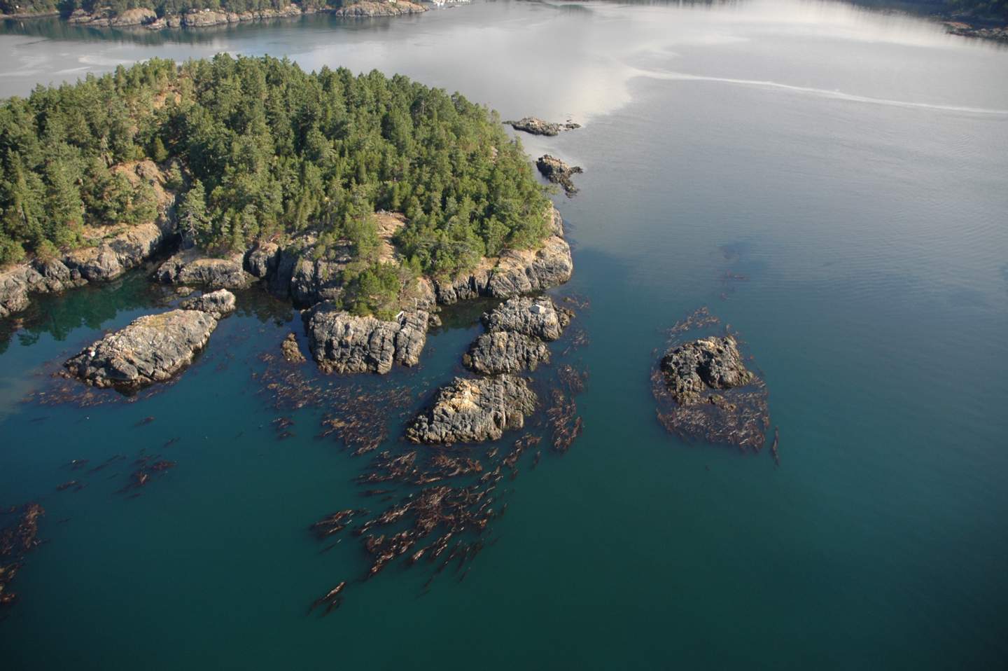
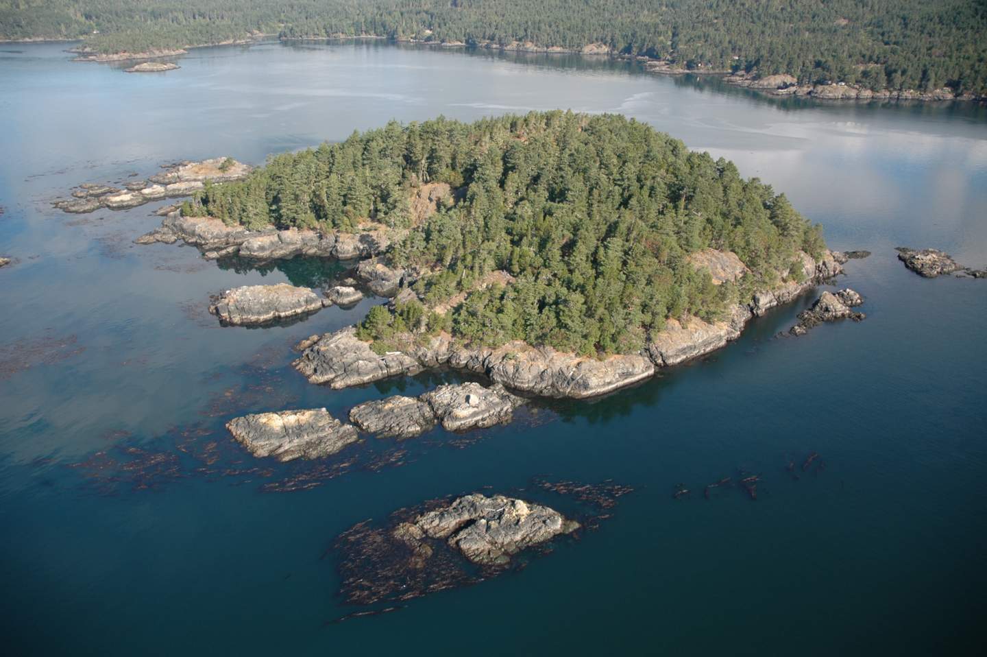
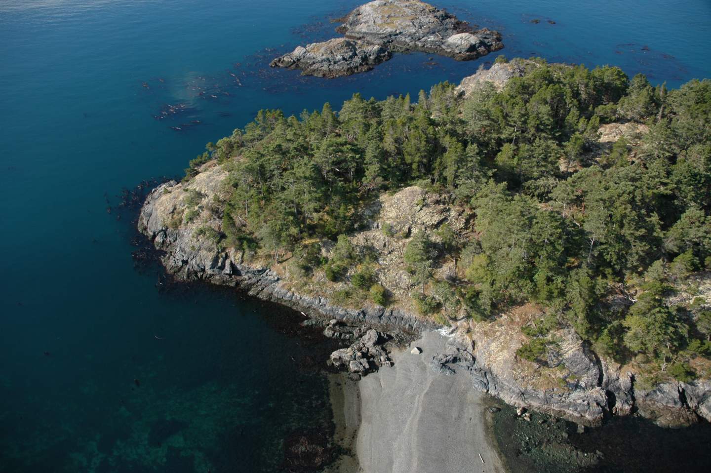
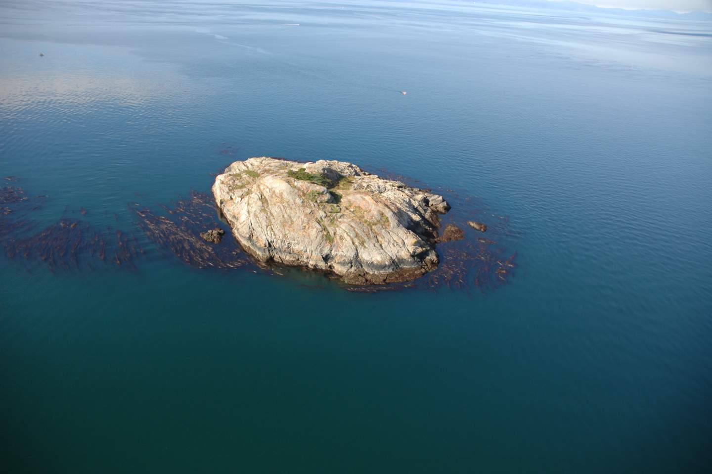
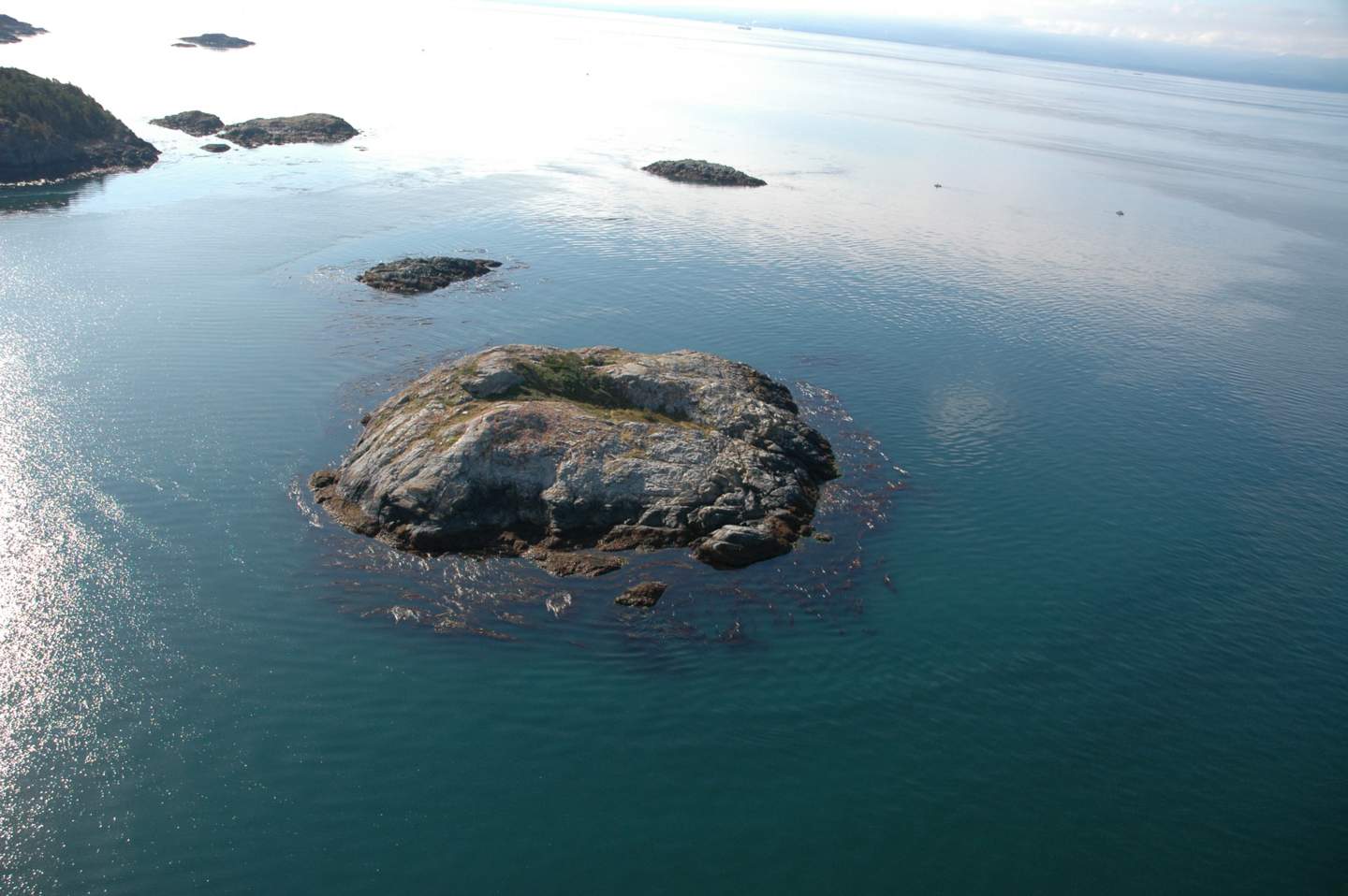
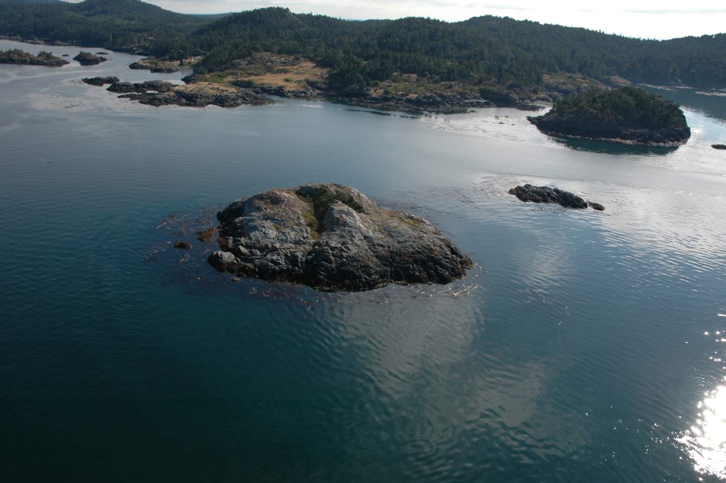
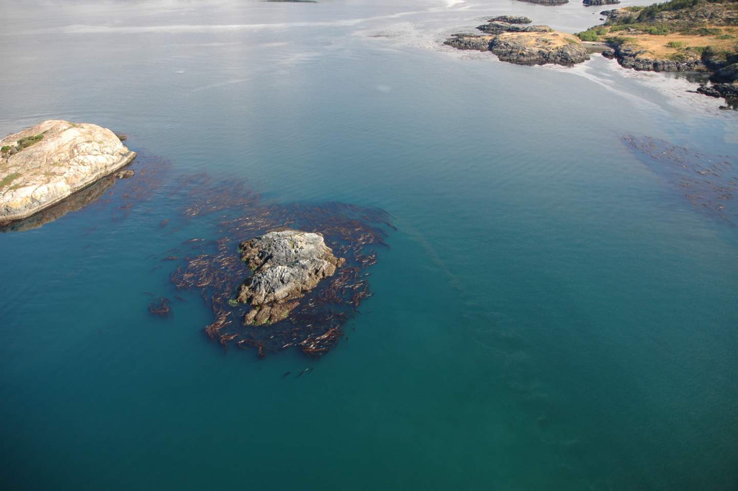
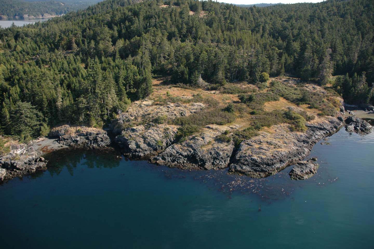
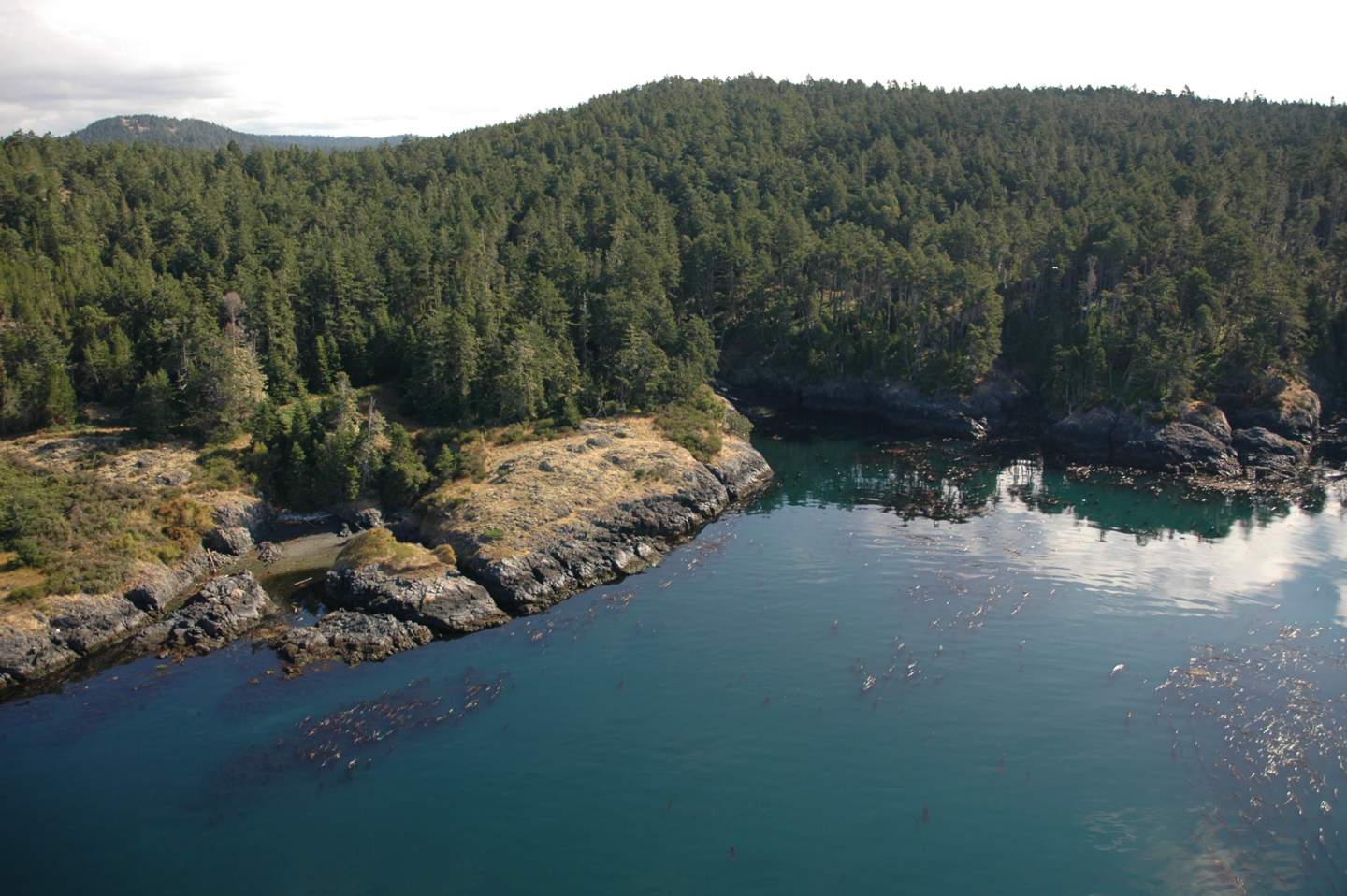
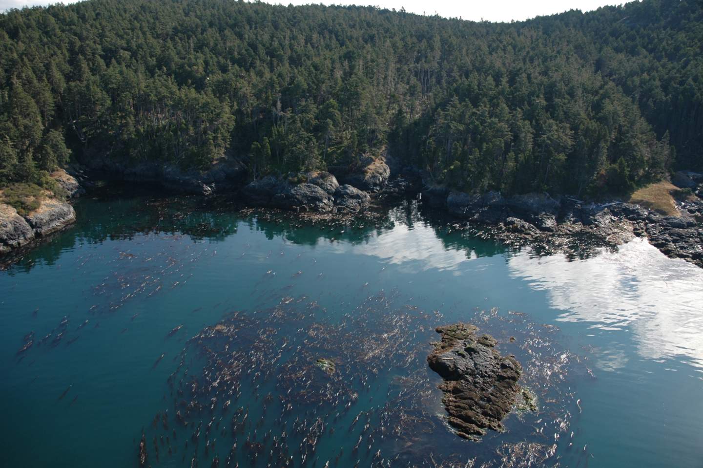
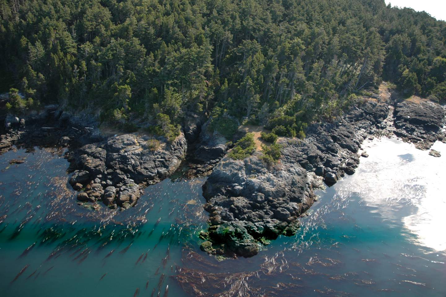
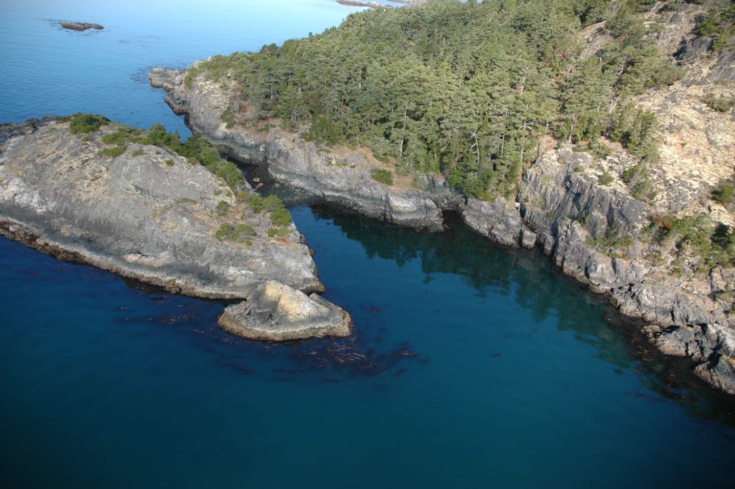
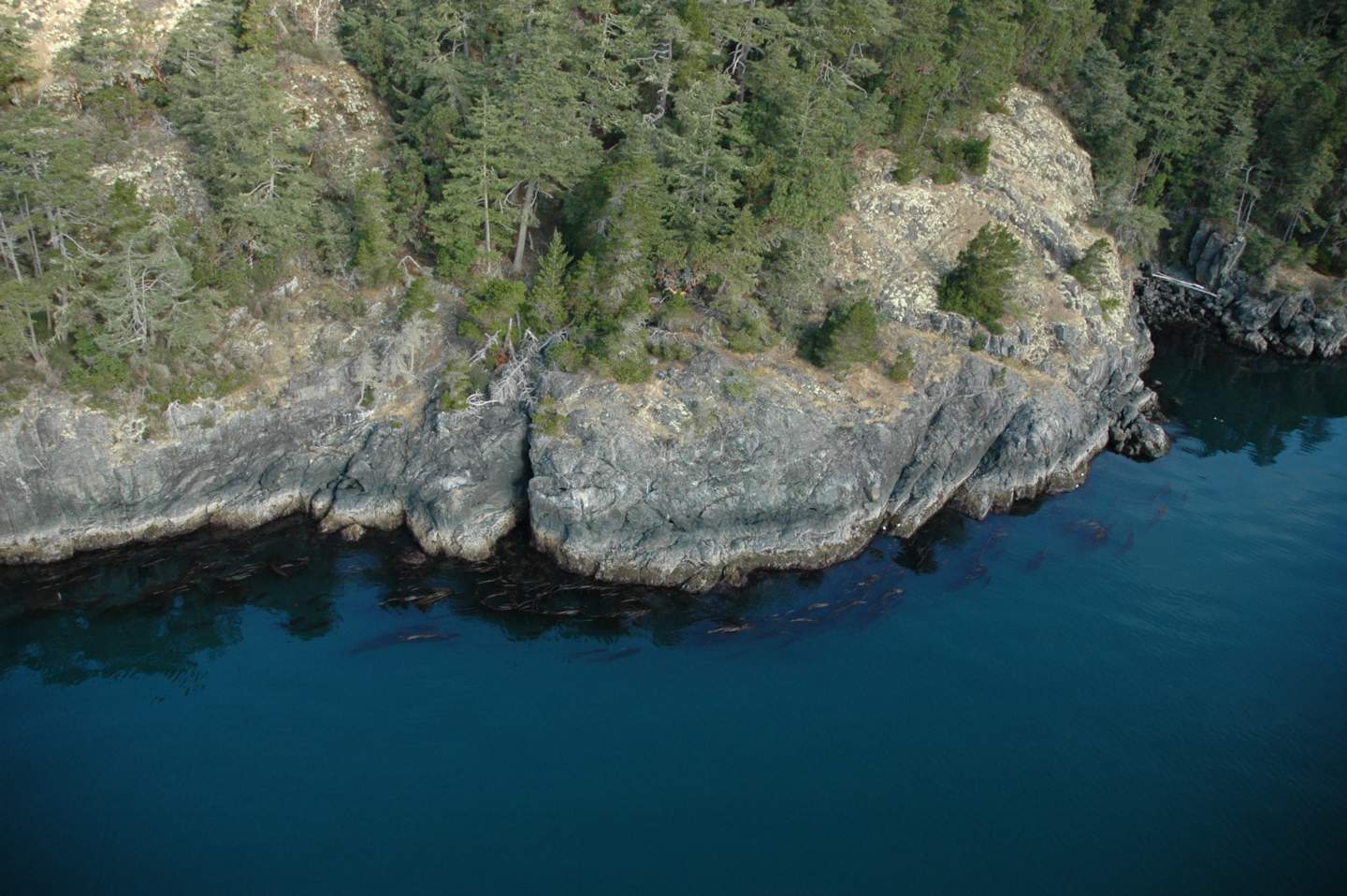
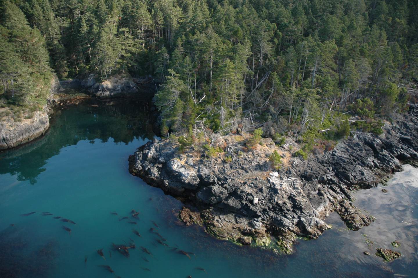
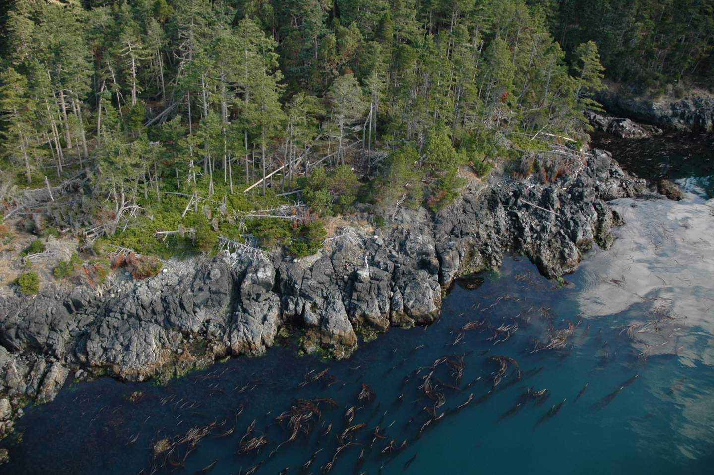
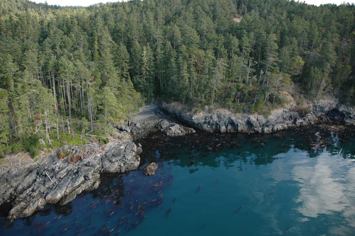
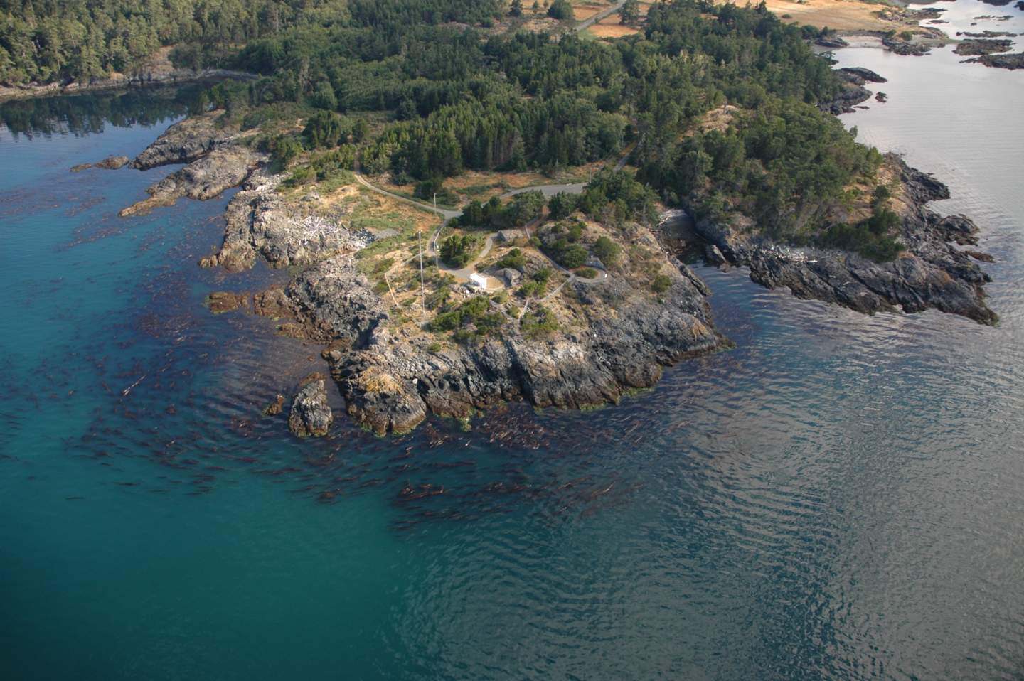
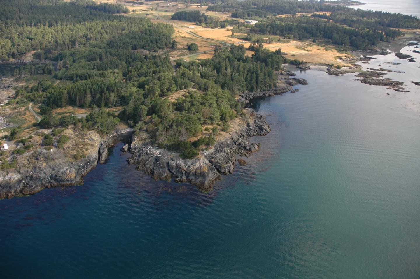
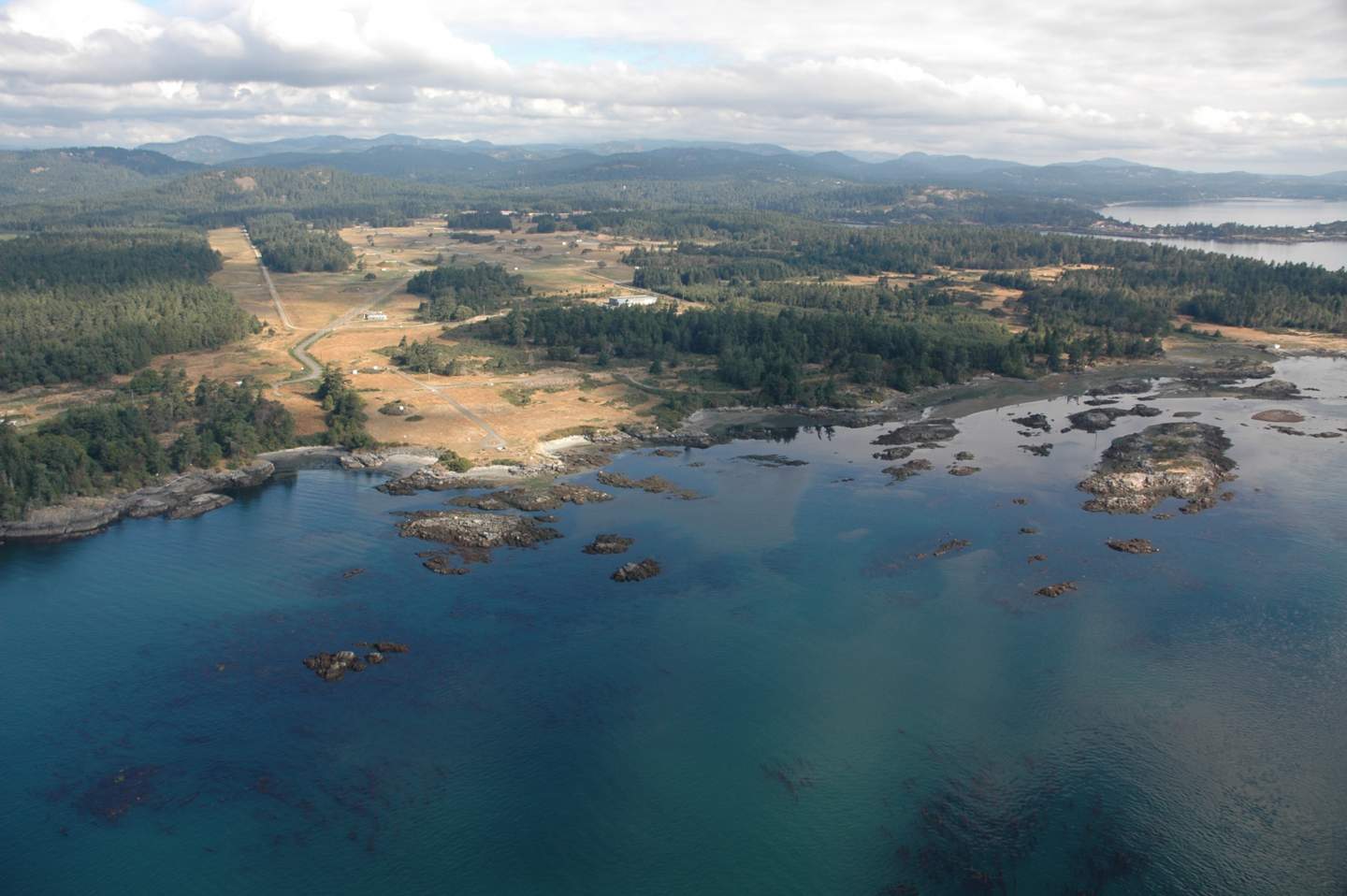
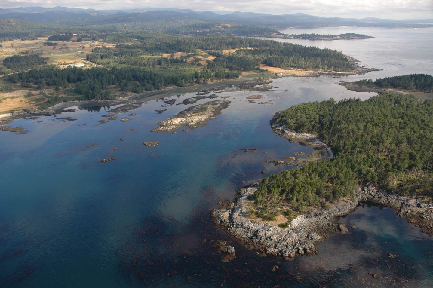
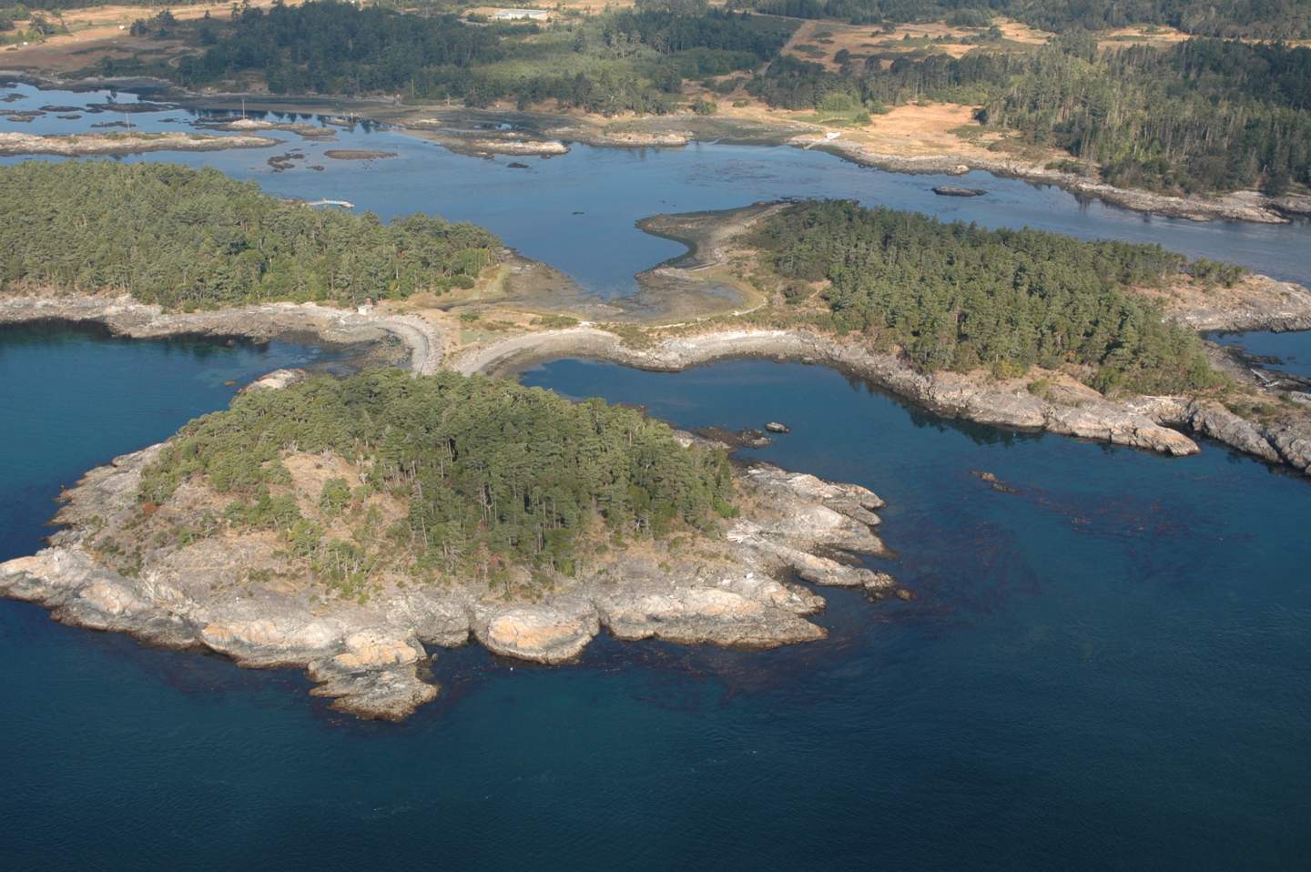
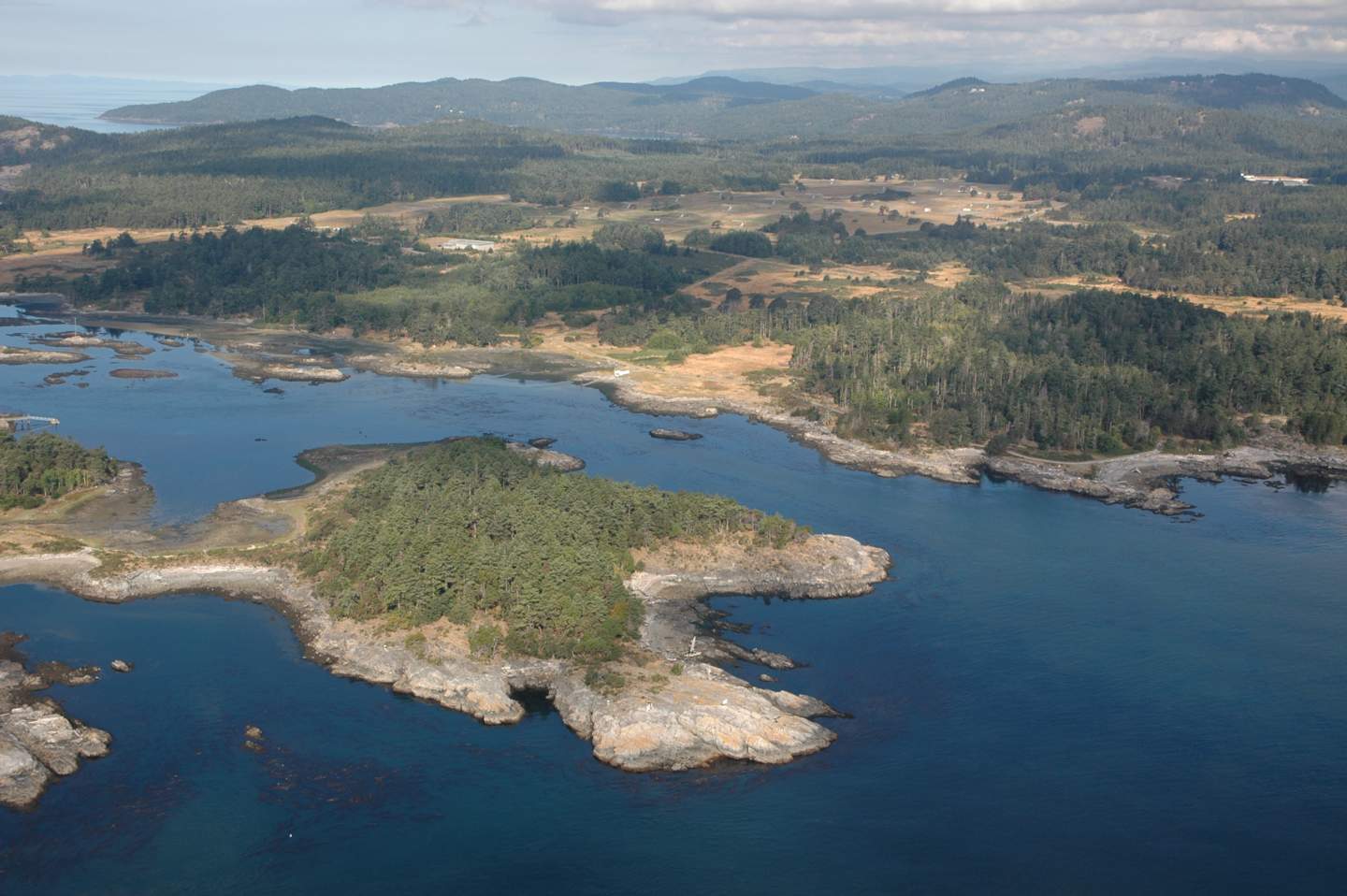
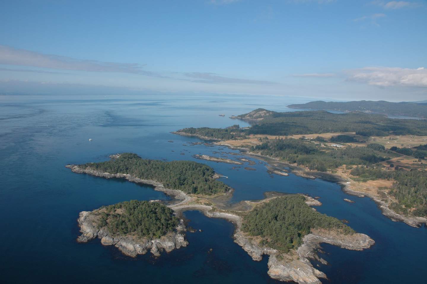
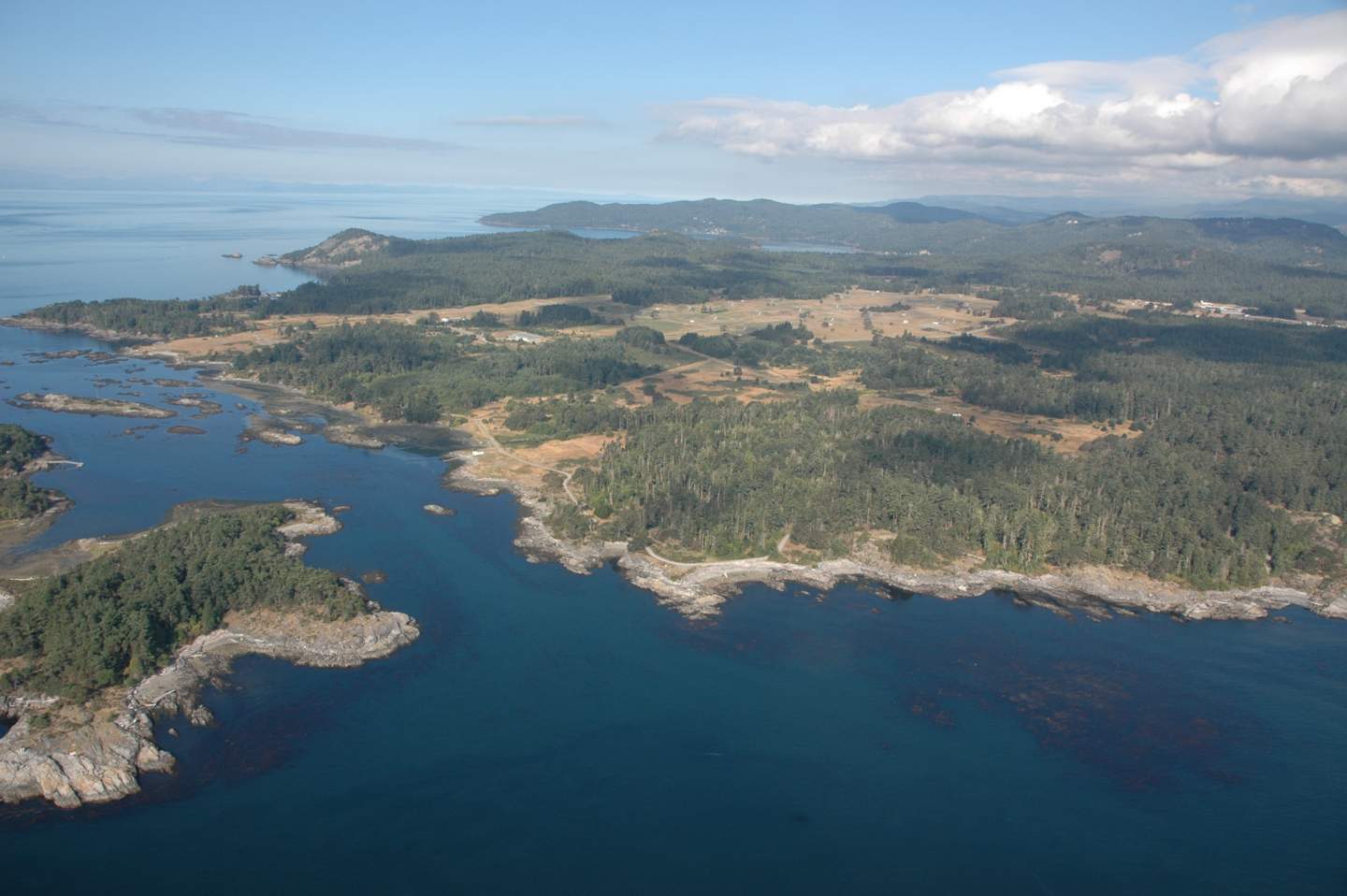
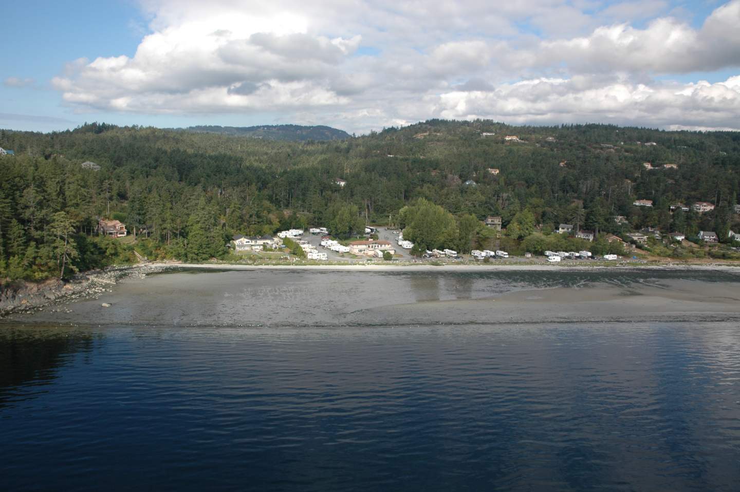
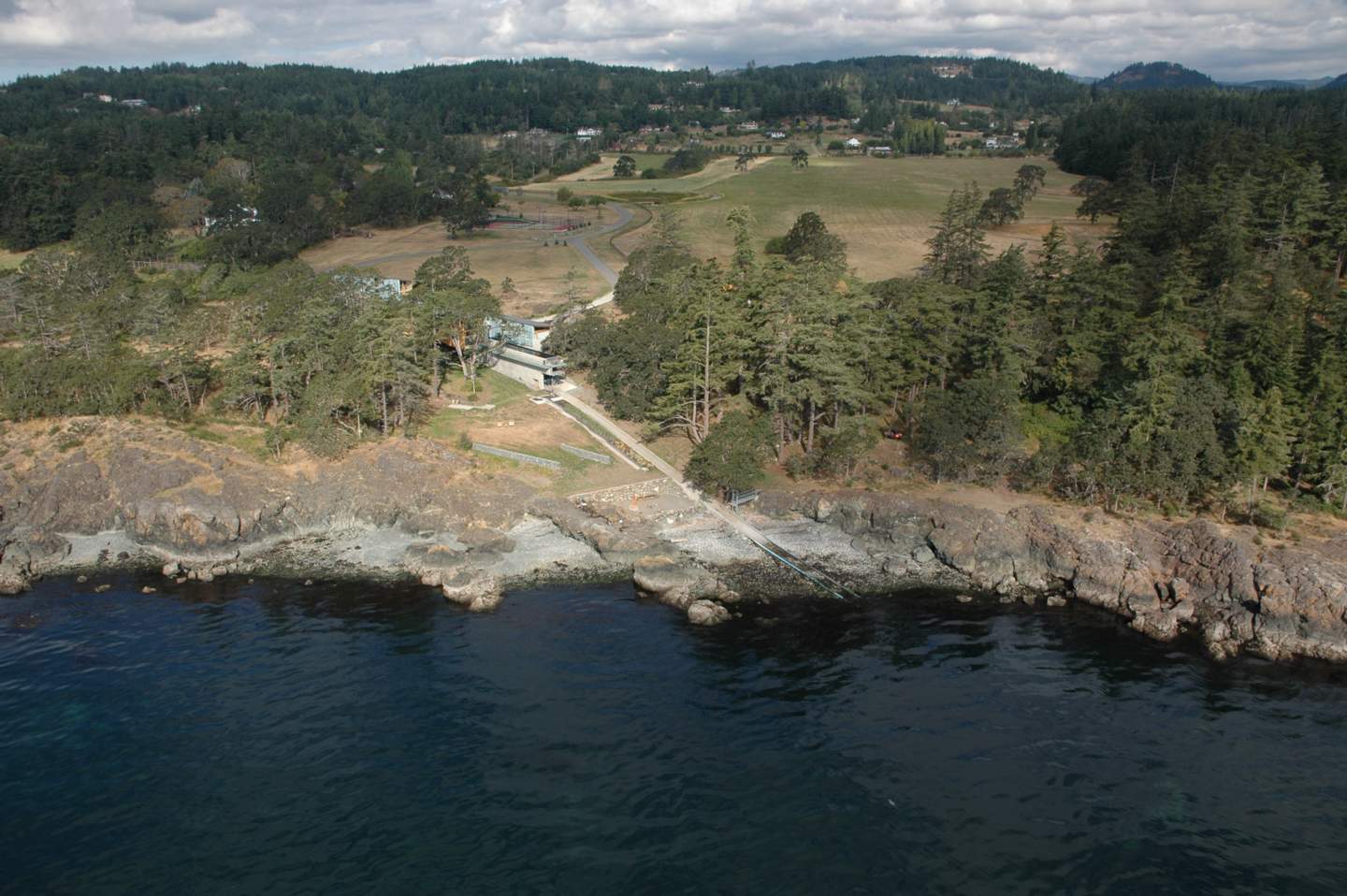
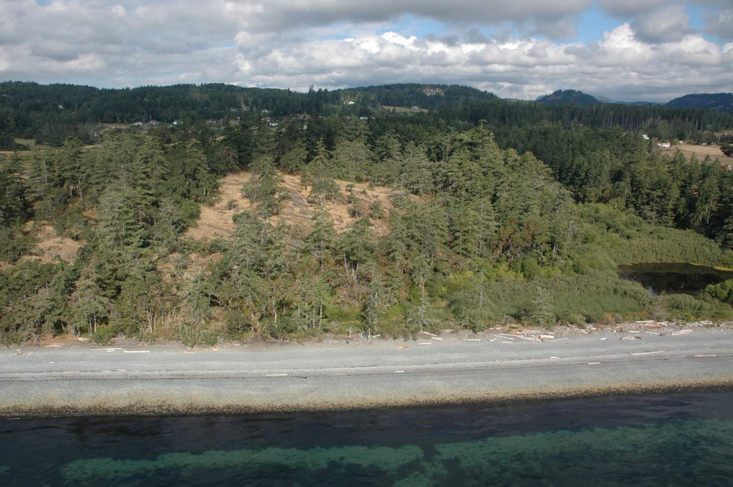
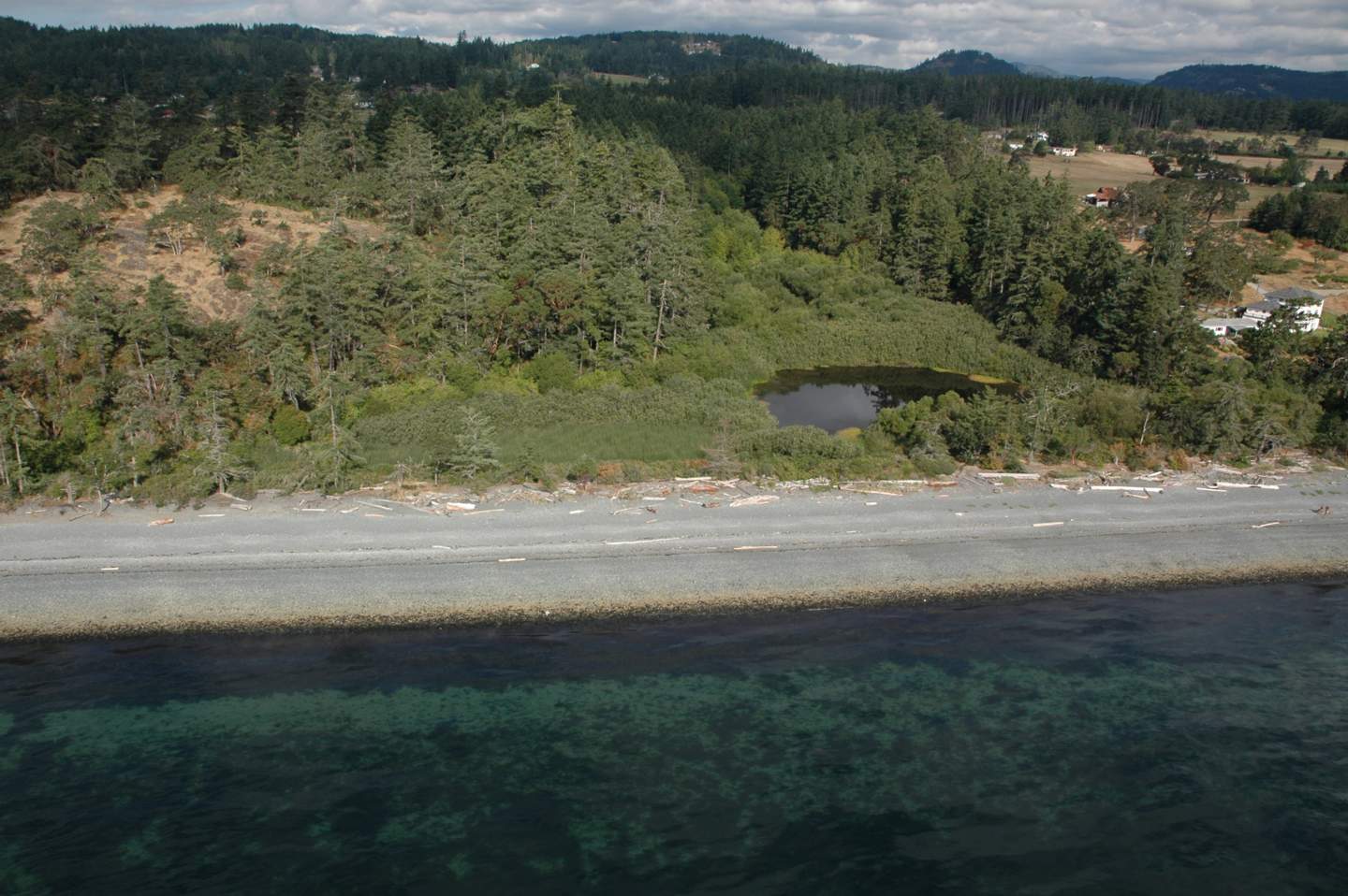
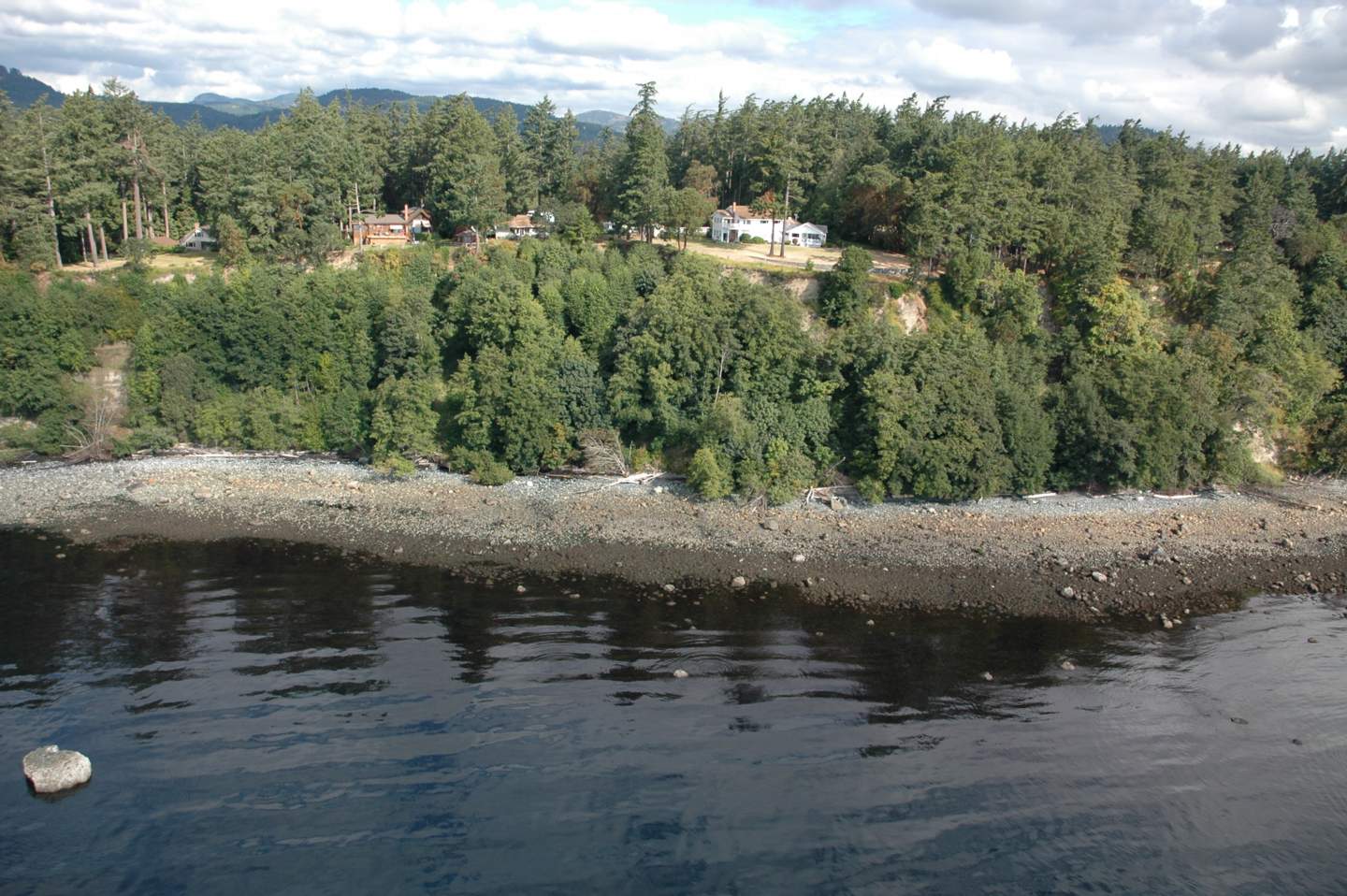
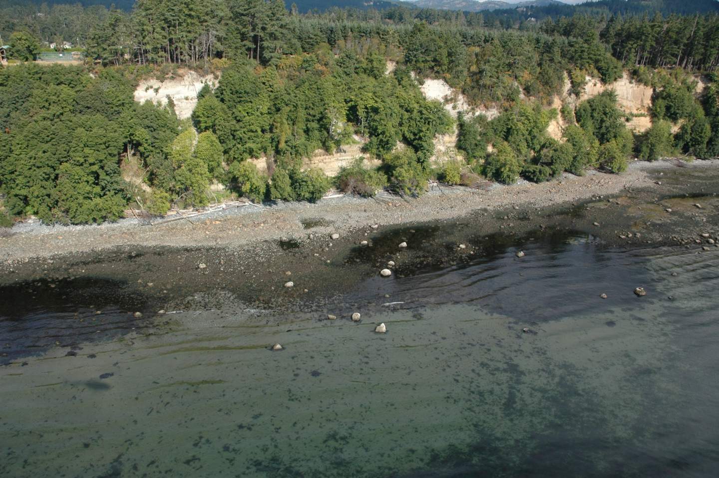
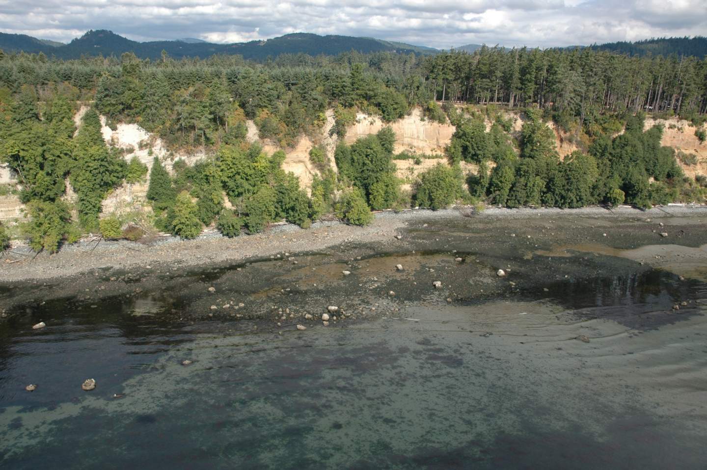
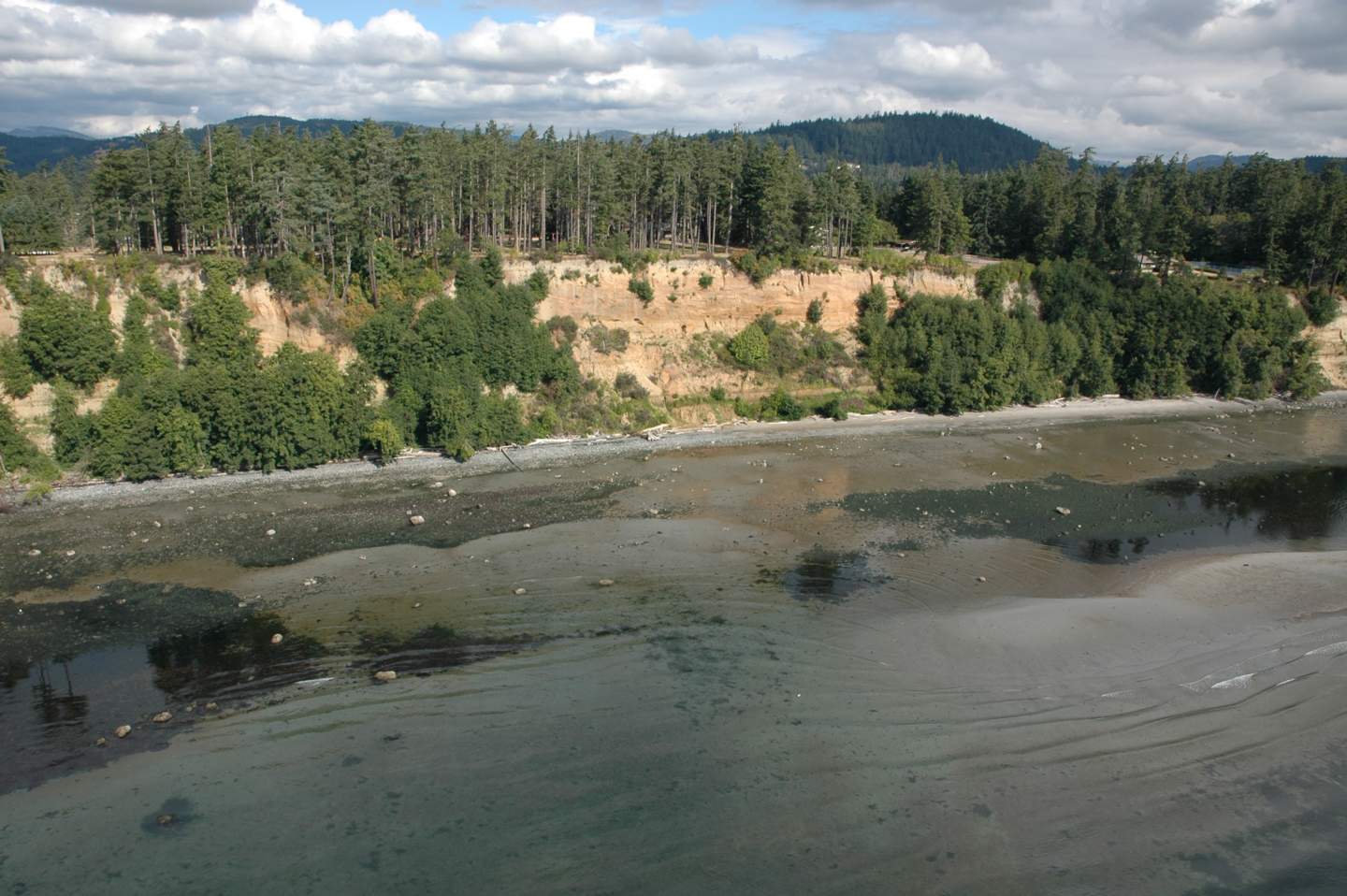
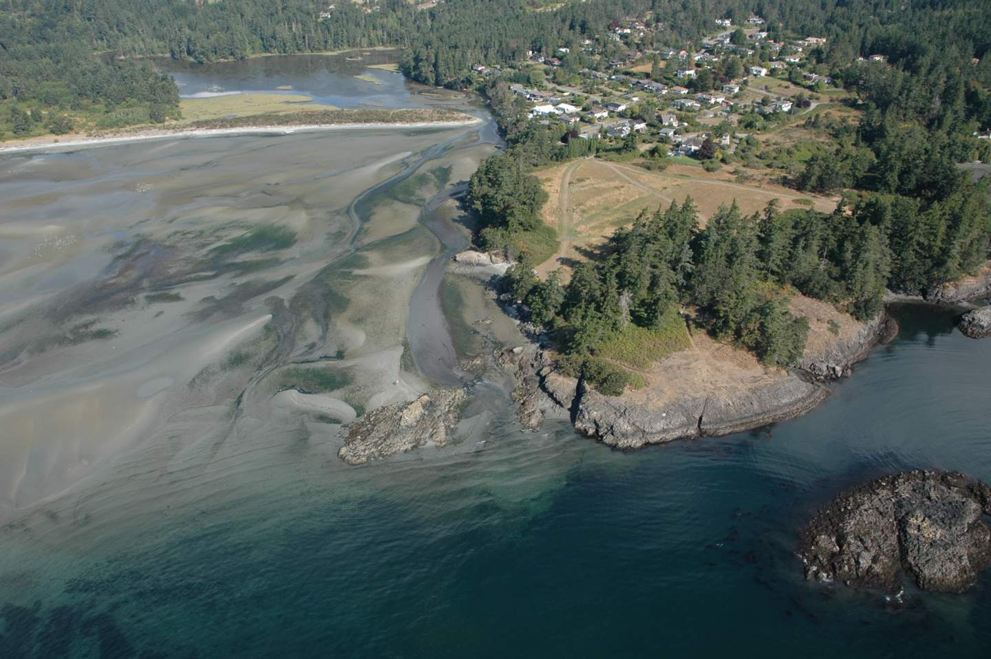
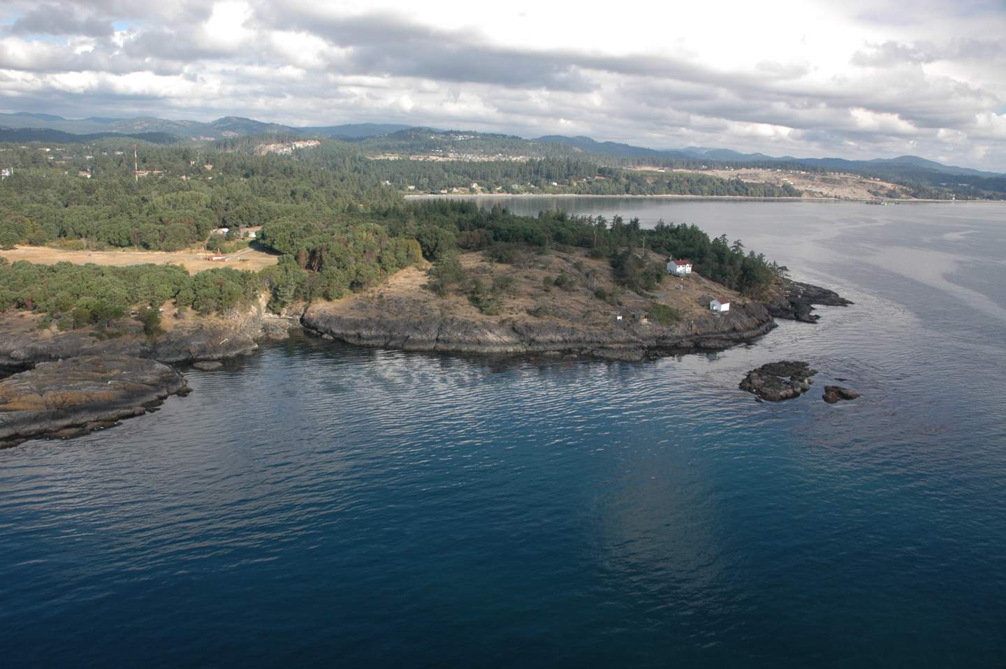
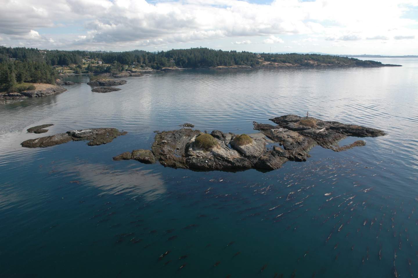
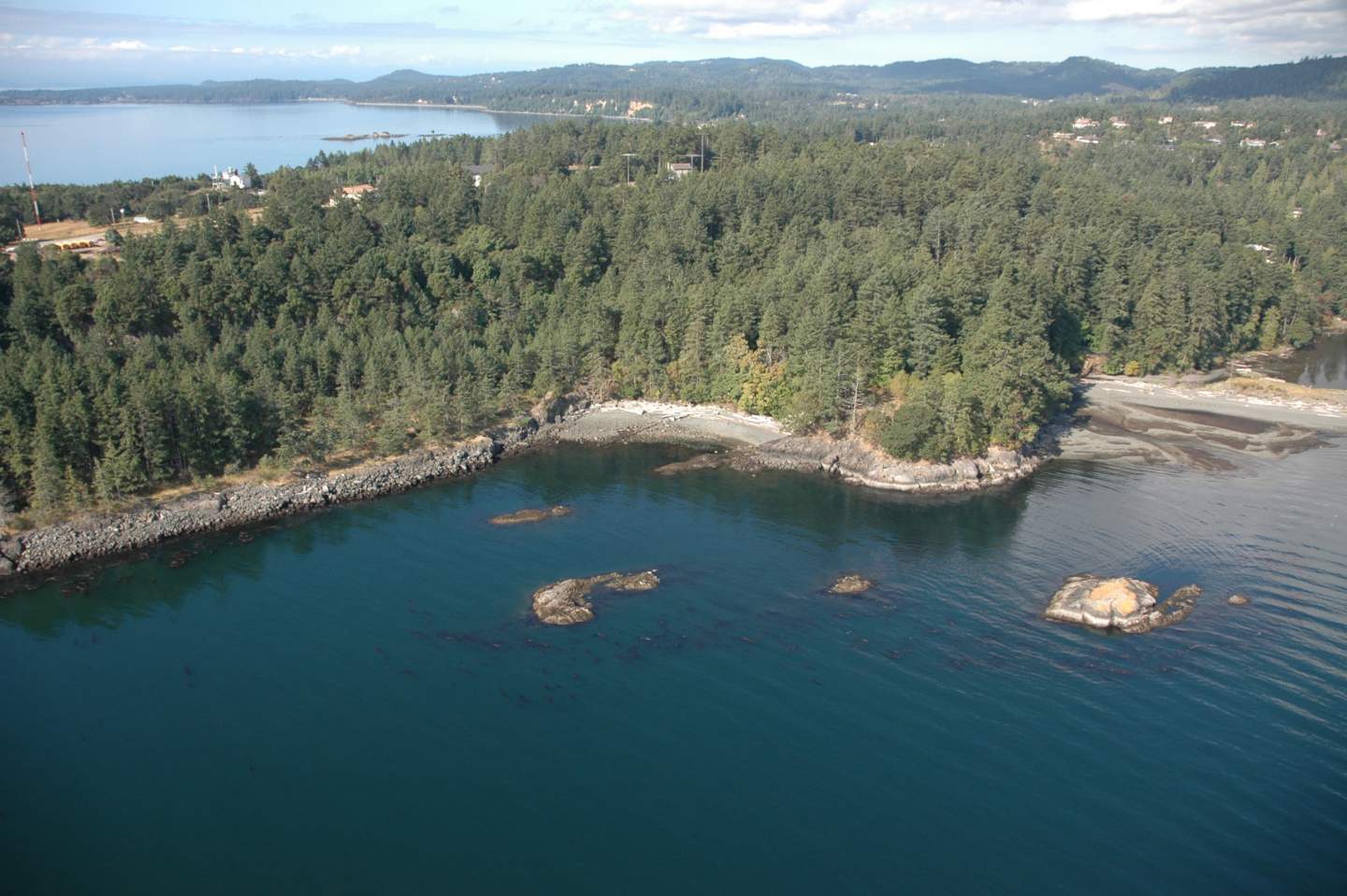
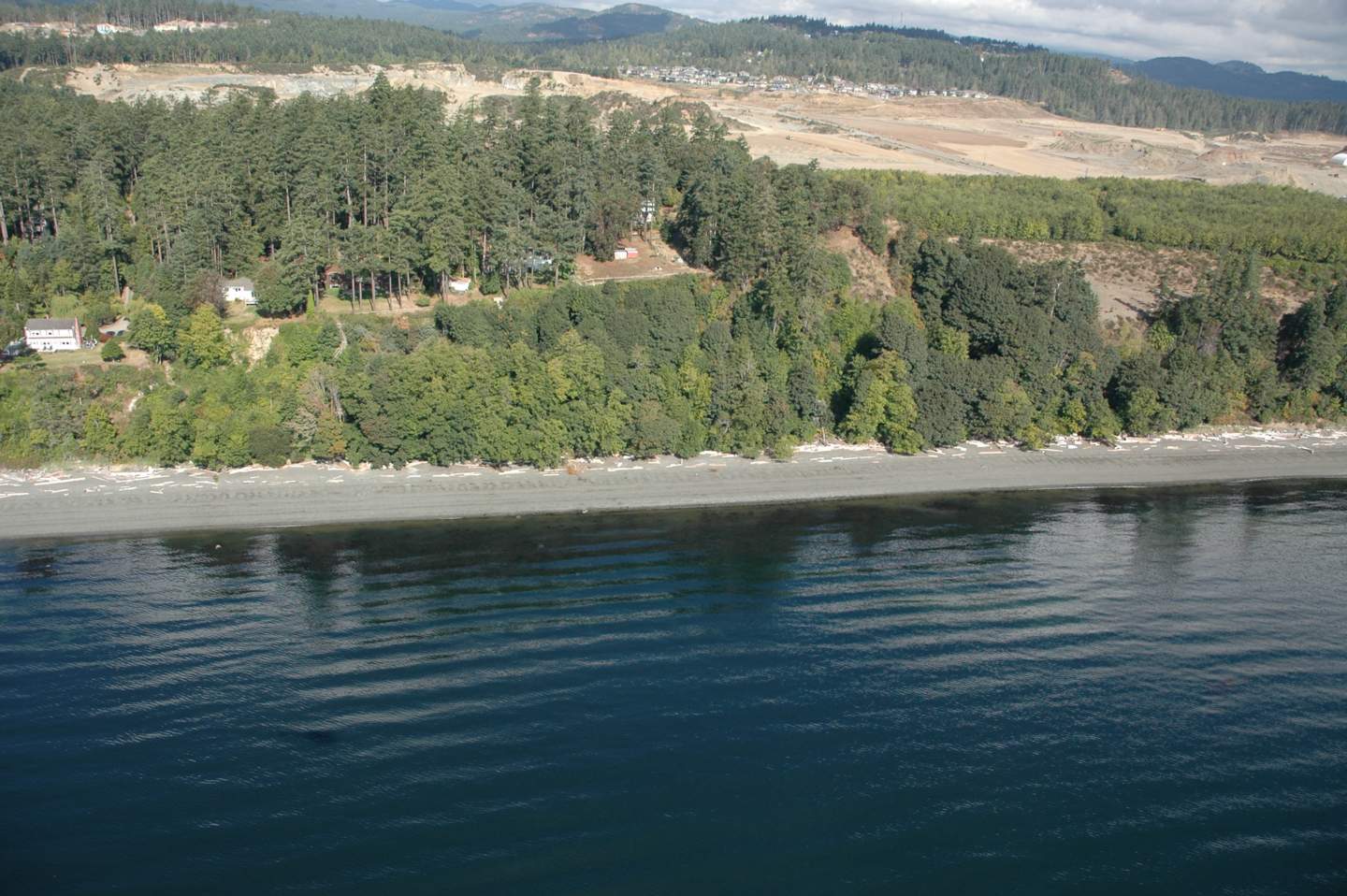
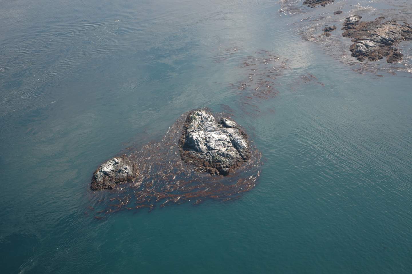
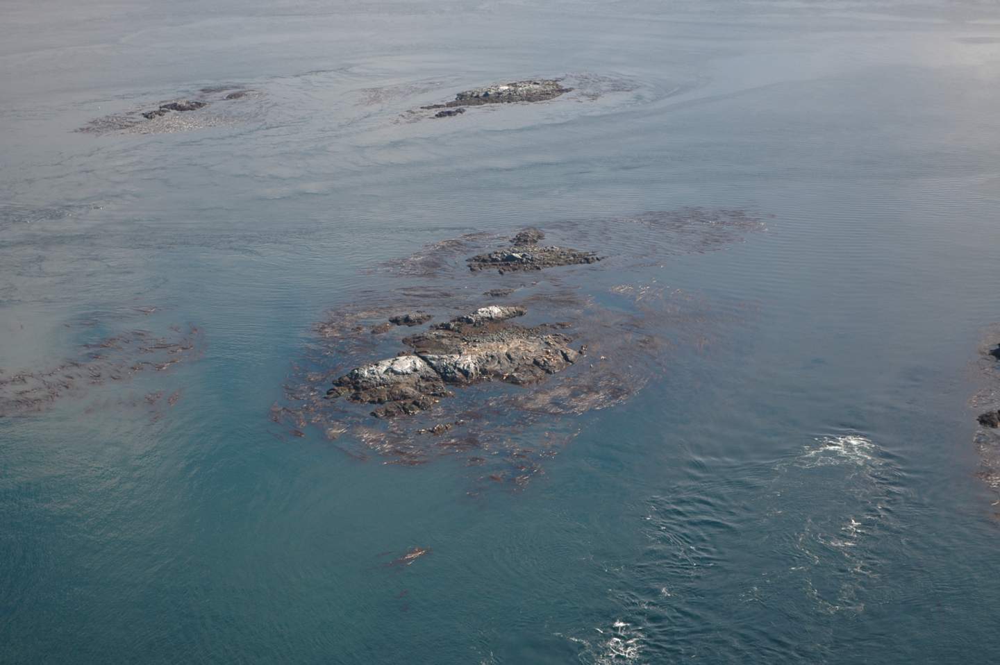
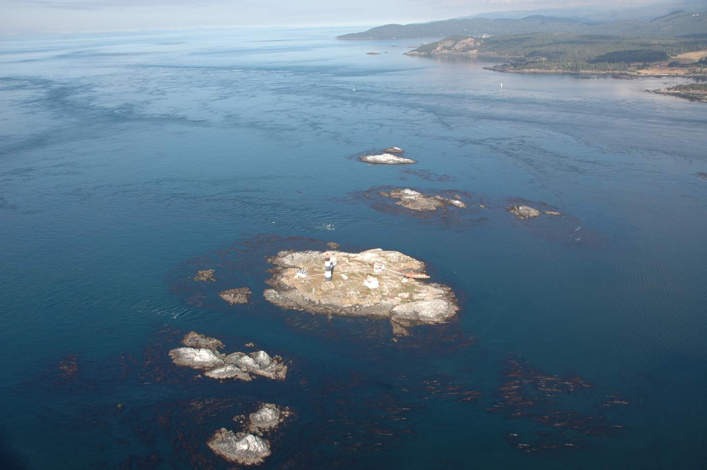
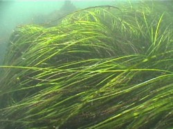
Sometimes viewed as a nuisance for boaters around the shores of Metchosin, kelp beds (Nereocystis luetkeana) are however a valuable species of our natural capital
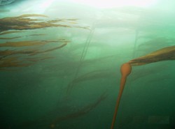
Nereocystis luetkeana, Bull kelp
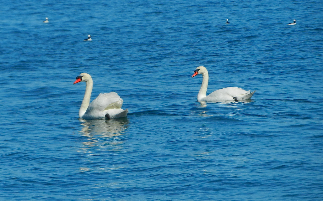
Our kelp beds provide ecosystem services such as habitat for juvenile fish, and marine mammals. Research on macroalgae of the temperate coastal areas in the world has also shown extremely high rates of photosynthetic capacity and therefore another ecosystem service, in these algal beds, carbon fixation, In this post I will annotate some of the significant research that documents the value of this resource.
“Kelp forests occur in cold, nutrient-rich water and are among the most beautiful and biologically productive habitats in the marine environment. They are found throughout the world in shallow open coastal waters, and the larger forests are restricted to temperatures less than 20ºC, extending to both the Arctic and Antarctic Circles. A dependence upon light for photosynthesis restricts them to clear shallow water and they are rarely much deeper than 15-40m. The kelps have in common a capacity for some of the most remarkable growth rates in the plant kingdom. In southern California, the Macrocystis can grow 30 cm per day.”
Abstract: There has been a good deal of interest in the potential of marine vegetation as a sink for anthropogenic carbon emissions , (Blue Carbon). Marine primary producers contribute at least 50% of the world’s carbon fixation and may account for as much as 71 percent of all carbon storage. In this paper, we analyze the current rate of harvesting of both commercial and growing and wild growing macro algae, as well as their capacity for photosynthetically driven carbon dioxide assimilation and growth. We suggest that carbon dioxide acquisition by marine macroalgae can represent a considerable sink for anthropogenic carbon dioxide emissions and the harvesting and appropriate use of macroalgal primary production could play a significant role in carbon sequestration and amelioration of greenhouse gas emissions.
___________________________________________
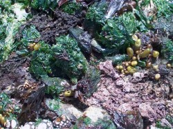
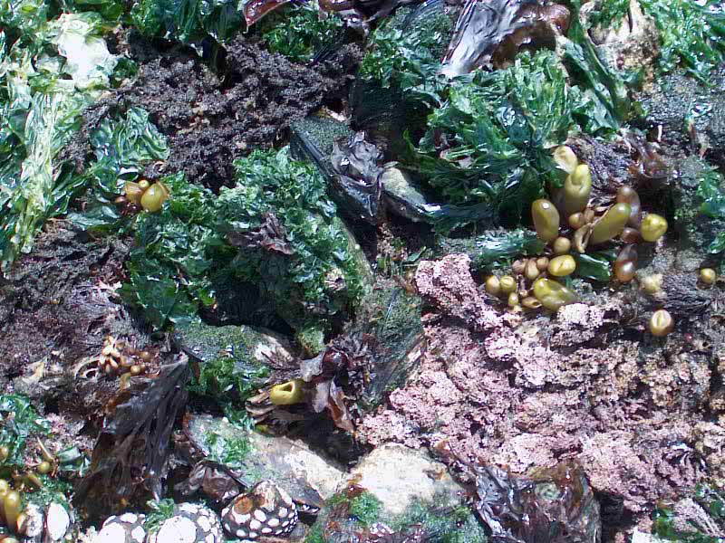
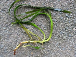
Sea Lettuce, ( Ulva lactuca)
Off the shores of Weir’s Beach grows a large bed of Sea lettuce (Ulva lactuca) . the following article attests to the efficiency of sea lettuce in carbon dioxide fixation:
Carbon sequestration by a few marine algae: observation and projection
Kaladharan, P and Veena, S and Vivekanandan, E (2009) Carbon sequestration by a few marine algae: observation and projection. Journal of the Marine Biological Association of India, 51 (1). pp. 107-110
Abstract: CO2 sequestration by the marine planktonic microalgae Nannochloropsis salina and Isochrysis galbana as well as macroforms Gracilaria corticata, Sargassum polycystum and Ulva lactuca was estimated under laboratory conditions. The green seaweed U. lactuca registered 100% utilization of CO2 towards carbon fixation from the ambient water up to 15 mg/l and beyond that it declined to 60%. The microalgae were able to utilize 27.7% of dissolved CO2 at 15 mg/l, but did not show any effect either for carbon fixation or for emission at lower and higher levels. Gross primary productivity of these algae were also not affected by increase in the CO2 levels. It is estimated that the seaweed biomass along the Indian coast is capable of utilizing 9052 tCO2/d against emission of 365 tCO2 /d indicating a net carbon credit of 8687 t/d.
Recommendation:
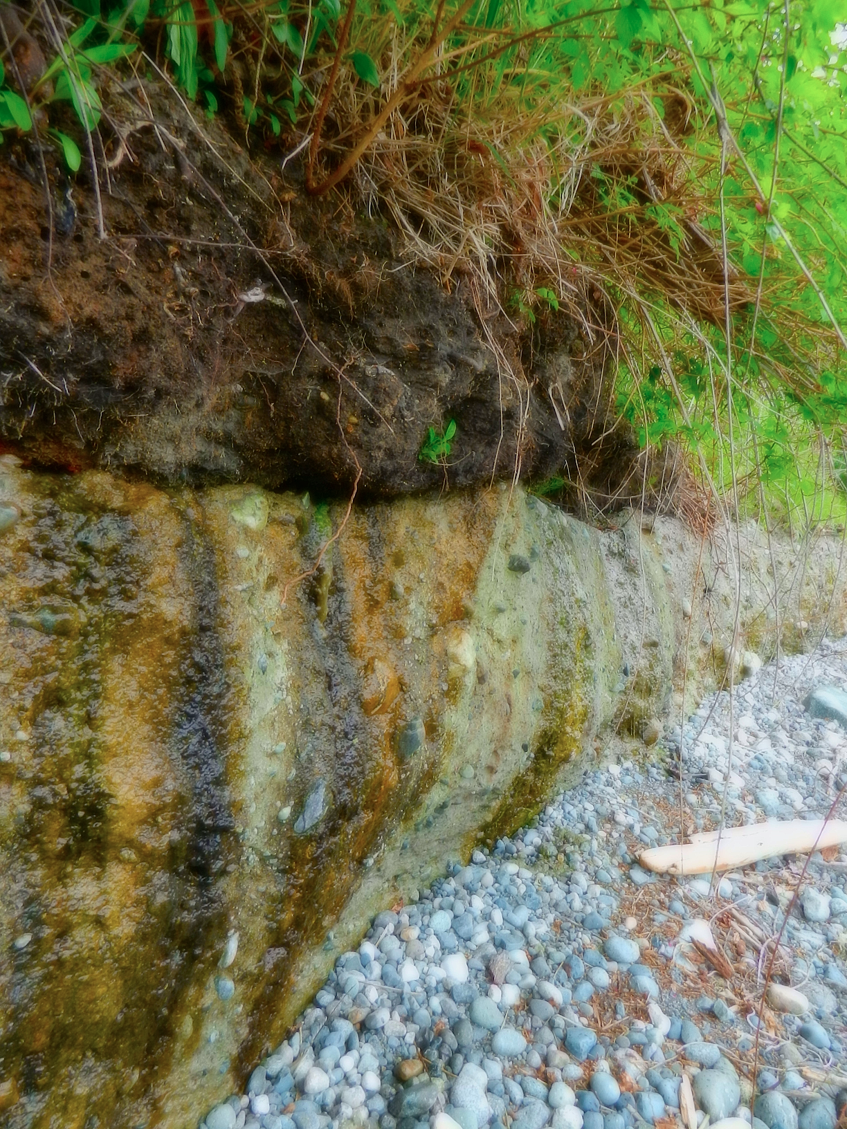
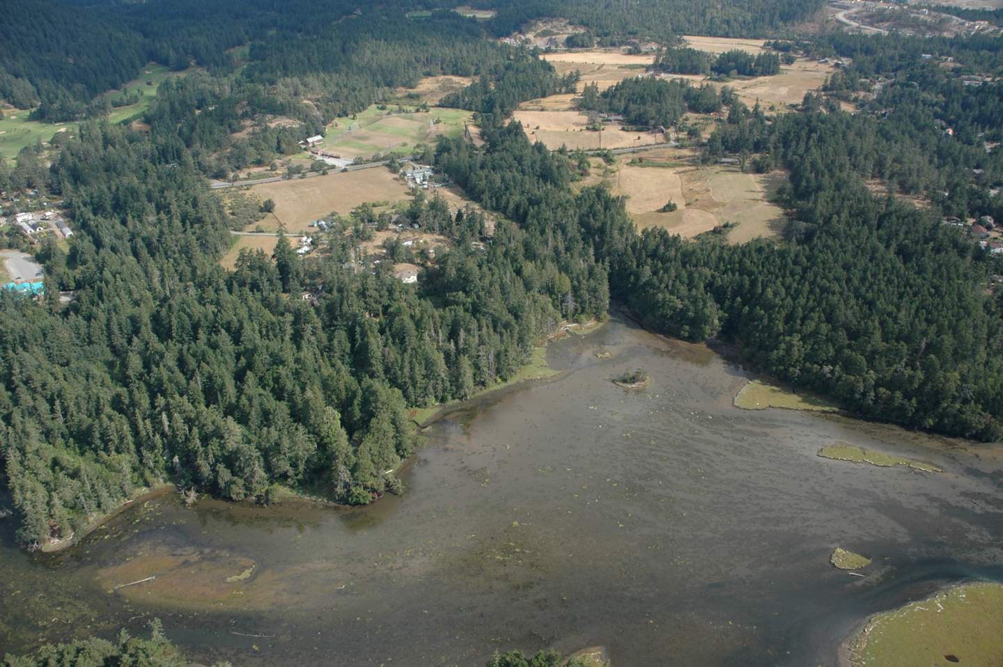
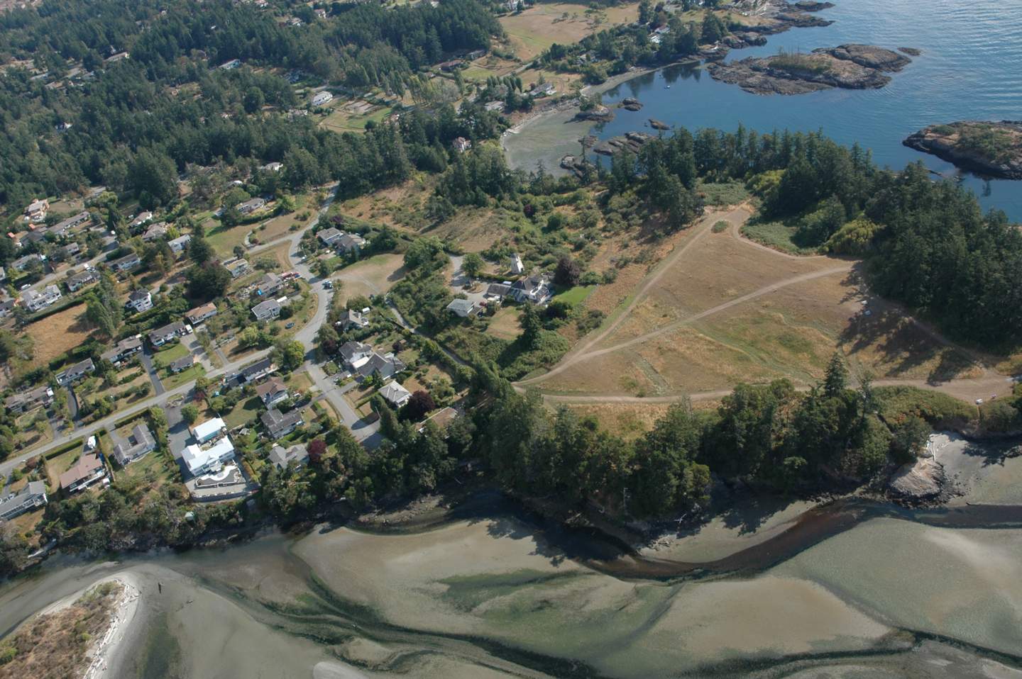
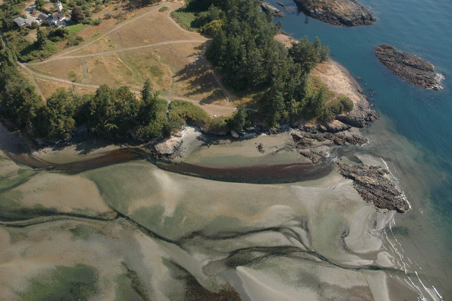
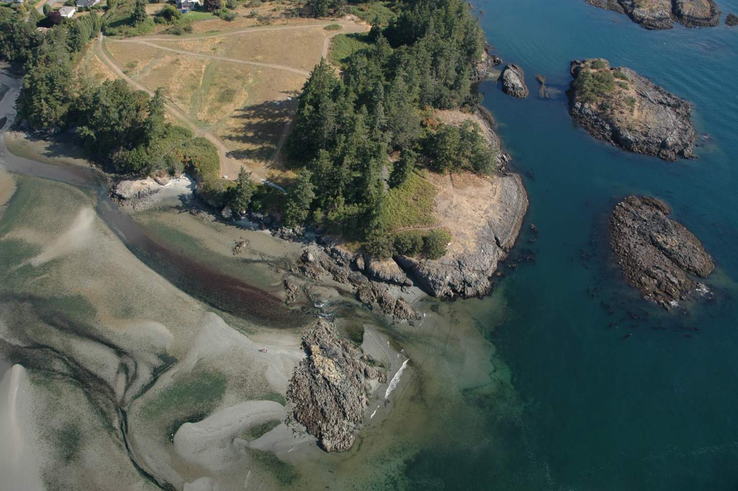
- A detailed mapping of Nereocystis beds and Ulva lactuca beds on the Coast of Metchosin should be done to quantify the extent of these resources.
________________________________________________________________
Concerns for the Kelp Resources of Metchosin:
The potential for commercial exploitation of this species is of concern, since he value as habitat for marine animals may far outweigh commercial possibilities. This reference explains the uses of the plant and it does not even include the potential for harvest for biomass , gas extraction:
“Uses
Both the stipe and the blades of Nereocystis luetkeana are used for fresh and dried foods, nutritional supplements, cosmetic products such as exfoliants, fertilizers, animal feed, dog snacks, and dog shampoo and moisturizer. Producers have found that it is rich in calcium, magnesium, sodium, iodine, potassium, phosphorus, iron, bulk fiber, and vitamins A, B complex, C, D, E, and K, protein and free amino acids. It is used as an herbal remedy, with claims that it detoxifies body tissues of heavy metal and radioactive agents, treats thyroid disorders, arthritis and digestive problems; purifies blood, aids in weight loss, eases lymphatic swelling; treats herpes infections, eases inflammation and neuritis, soothes mucuous membranes, and reduces side effects of chemotherapy and radiation. Other benefits mentioned for Nereocystis luetkeana in the spa include that it is stimulating, firming, revitalizing, tonic and slimming. Over 25 products have been identified from over 10 different sellers in Canada, the United States, and the Netherlands.
Harvesting
Commercial harvesting is known to occur in British Columbia and California
Harvesting Techniques
As Nereocystis luetkeana grows in the subtidal and shallow intertidal zones, it is typically harvested from a skiff or small boat with a knife, although in some areas it may be harvested on foot at low tide.
Ecosystem
Nereocystis tends to grow in large kelp forests, and the blades create lush surface canopies. Kelp forests provide important sheltering habitat for many marine fishes and invertebrates, including urchins, sea stars, snails and crabs, and are an important food source for sea urchins. These forests also provide habitat for sea otters since sea otters eat the invertebrates that live on the kelp forest floor and the kelp itself provides a canopy which the otter can anchor to while resting to keep from drifting away. The anchoring holdfast can reach a diameter of more that a foot, and can harbor its own collection of organisms by offering them protection among the haptera. Nereocystis luetkeana is the only kelp which will drop spore patches, so that the right concentration of spores lands near the parent’s holdfast. They grow out continuously from a meristem located at their base and slough off at their older outer tips. The detritus formed by the sloughing tips has been shown to be an important source of carbon for inshore intertidal communities. This detritus feeds species such as Blue rockfish (Sebastes mystinus) and many of the filter feeders, such as Pacific Blue Mussels (Mytilus trossulus) in the intertidal zone. Urchins feed on Nereocystis luetkeana, and conversely this kelp can opportunistically and rapidly colonize areas that have been cleared by urchins.”
_______________________________________________________________
Research into the role of marine algae and its importance in contributing to energy flow when they end up on a beach is reported in the following research out of the Bamfield Marine Station:
by Malte Mews, Martin Zimmer, Dennis E. Jelinsk
ABSTRACT: The fate of subtidally drifting macrophytal detritus after its deposition ashore was studied based on short-term mass loss effects and species composition of beach-cast detritus. Different species of macroalgae and seagrass varied in both physical and microbial decay, as well as faunal decomposition rates. Their preferred status as food for detritivorous amphipods also varied. Thus, beach-cast detritus changed in species composition during detritus aging. Estimated turnover rates, based on daily input rates and mass loss rates, ranged from <1 d for Nereocystis luetkeana, Macrocystis integrifolia and Ulva spp. to roughly 30 d for Fucus spp. and Phyllospadix spp. Thus, the dynamics of nutrient fluxes within the marine–terrestrial ecotone depends not only on the spatial distribution and amount of beach-cast detritus, but also on its species composition.
_________________________________________________________________
- Recommendation: The municipality should investigate the possibility of influencing provincial legislation to place a moratorium on the harvest of any natural kelp resources on our shoreline.