Index: BC Coastal Ecological Sustainability

Contents /Index[
1.0 Introduction:
2.0 Environmental Sustainability in our Marine Environment

3.0 The Biodiversity and the Need to Conserve

4.0 Physical Story

5.0 Humans as part of Ocean Systems

6.0 A Choice of FUTURES

7.0 Environmental Sustainability in Education 

8.0 Types of Curriculum Activities which could Complement the Sustainability theme.

9.0 Take-Aways for the student from a Sustainability Approach


Slide Show of the Metchosin Coastline

The images for this slideshow from Beecher Bay to Albert Head were provided by GeoBC. Enlargements of each picture and captions may be seen in the Gallery

Marine Algae of the Metchosin Coastline.

Marine Algae along the Coast of Metchosin contributes to  Biodiversity and to the habitat of the shoreline. The productivity of some of the macroalgae beds is very high, contributing to carbon fixation and a food source for marine ecosystems. Some algae are grazed directly by fish and invertebrates, but many contribute their energy to the ecosystems when they break down in the water column or on the shoreline. The kelp beds of the coastal areas are valuable habitat for larval, and juvenile fish. Thus marine algae contribute to the Natural Capital of our marine systems in a very significant way.

Resources:

algaeredfenestrThe Algae of Taylor Beach


image005The Race Rocks Digital Herbarium


halosacc

Marine Plants at Race Rocks


saltwaterArchived Videos of Marine Plants at Race Rocks


The Green and Blue Spaces Strategy, December, 2007

The PDF of this report from  2007 may be viewed in it’s entirety here:
Blue-green-spaces-Document

Note in particular: page 4 : TYPES OF GREEN and BLUE SPACES

part 5. Marine Areas.

a. Nearshore marine areas: These areas  occur along the coastlines of Metchosin. They are productive nursery areas and habitat for marine life, and include eelgrass beds, kelp beds, and subtitle rocky areas.

b. Marine shorelines: these are areas of natural shoreline on land. They are an important part of the scenic character of the community, contain recreational trails or beach access points, and provide a buffer between buildings and natural dynamic processes such as shoreline erosion. Examples include rocky marine shorelines and beaches [especially between Helberg had and church island], tidal lagoons, estuaries and offshore islands.

Under recommendations  —Municipal governments:

  •   while Metchosin has no formal management responsibility for nearshore marine areas, we should continue to acquire and maintain inventories of these areas, and have municipal input into provincial and federal government decisions regarding their management.
  • Recognize the importance of and encourage the protection and restoration of Metchosin’s natural shoreline.

Link: The CRD Blue-Green report


Sector 1 Race Rocks

SECTOR 1 RACE ROCKS

Great Race Rock, the central island. All but the tower envelope is included now in the Race Rocks Ecological Reserve.. The other islands of the ecological reserve are represented below: The link to the racerocks.ca website is used for the ecological information on this part of Metchosin’s coastline.


Link to the Ecology of Race Rocks through the racerocks.ca website


Race Rocks Ecological reserve from Mount Blinkhorn


Race Rocks from Mount Macdonald


Race Rocks from the mouth of Pedder Bay


Race Rocks from Sea Bluff Trail


The MetchosinCoastal web site has been created to represent the contiguous ecosystems of the Race Rocks Ecological Reserve/Marine Protected Area and for the use of the Green Blue Spaces sub committee of the Metchosin Environmental Advisory Select Committee ( MEASC).
Copyright: G.Fletcher 2013 (garryf(use at) gmail.com)


Sector 2: Bentinck Island


SECTOR  2:  Bentinck Island  


Aerial Maps Courtesy of the CRD Natural Areas Atlas

Link to History of Names and Early Use of the Island as a Leper colony on Bentinck Island


1. South Entrance
to Eemdyk Pass


2.South Bentinck Island


. 3. Central
Bays and east lobe of Bentinck 


4.Central
Island in Eemdyk Passage


5. North Bentinck Island


6.Rocky
Point Shoreline
between Cape Calver and Edye Point.


Map of the Complete Rocky Point Area


Link to Anthropogenic Impacts on Habitat of the Rocky Point Area


The MetchosinMarine website has been created to represent the contiguous ecosystems of the Race Rocks Ecological Reserve/Marine Protected Area and for the use of the Green Blue Spaces sub committee of the Metchosin Environmental Advisory Select Committee (MEASC). Copyright: G.Fletcher 2013 ( garryf (use at) gmail.com)


6.2 Global Change means Ocean Change

References:

1. Impacts of Climate Change Coming Faster and Sooner: New Science Report Underlines Urgency for Governments to Seal the Deal in Copenhagen…Washington/Nairobi, 24 September 2009

“Recent estimates of the combined impact of melting land-ice and thermal expansion of the oceans suggest a plausible average sea level rise of between 0.8 and 2.0 metres above the 1990 level by 2100. This compares with a projected rise of between 18 and 59 centimetres in the last IPCC report, which did not include an estimate of large-scale changes in ice-melt rates, due to lack of consensus” http://www.unep.org/Documents.Multilingual/Default.asp?DocumentID=596&ArticleID=6326&l=en

2. Widespread Arctic Warming Crosses Critical Ecological Thresholds,Scientists warn.

http://www.sciencedaily.com/releases/2005/03/050308100441.htm

3. Climate ‘altering UK marine life’

The UK’s coasts are becoming stormier places, the report says
The biodiversity and productivity of seas around the UK could already be suffering the consequences of climate change, a report has concluded.

http://news.bbc.co.uk/2/hi/science/nature/6191828.stm

4. Scientists Warn Of Climate Change Risk To Marine Turtles

http://www.sciencedaily.com/releases/2007/02/070220003809.htm


ScienceDaily (Feb. 22, 2007) — North American marine turtles are at risk if global warming occurs at predicted levels, according to scientists from the University of Exeter. An increase in temperatures of just one degree Celsius could completely eliminate the birth of male turtles from some beaches. A rise of three degrees Celsius would lead to extreme levels of infant mortality and declines in nesting beaches across the USA.

5. IMPACTS OF CLIMATE CHANGE ON AUSTRALIAN MARINE LIFE

http://www.greenhouse.gov.au/impacts/publications/marinelife.html

Climate change impacts on marine life and marine ecosystems are likely to dramatically affect human societies and economies. Notable impacts of climate change on marine biodiversity have been observed throughout the world – principally due to the existence of long-term data series. Evidence from Australian waters is sparse, mainly due to a lack of historical long-term data collection. Importantly, little modelling has been conducted to predict future changes in Australian marine ecosystems and this remains a critical gap. This report identified six key questions that need to be addressed by future modelling and monitoring programmes:

6. Ocean climate change and its effects on marine life at all depths

http://www.neptunecanada.ca/science/ocean-climate.html

7. http://www.ec.gc.ca/climate/overview_canada-e.html

“British Columbia/Yukon
Climate change will have significant impacts on British Columbia and Yukon, including increased flood dangers in some areas, drought in others, and widespread disruption to forests, fisheries, and wildlife.
Sea levels are expected to rise up to 30 cm on the north coast of British Columbia and up to 50 cm on the north Yukon coast by 2050, mainly due to warmer ocean temperatures. This could cause increased sedimentation, coastal flooding, and permanent inundation of some natural ecosystems, and place low-lying homes, docks, and port facilities at risk.
Other changes that may result from climate change include:

In winter, increased winter precipitation, permafrost degradation, and glacier retreat due to warmer temperatures may lead to landslides in unstable mountainous regions, and put fish and wildlife habitat, roads, and other man-made structures at risk. Increased precipitation will put greater stress on water and sewage systems, while glacier reduction could affect the flow of rivers and streams that depend on glacier water, with potential negative impacts on tourism, hydroelectric generation, fish habitat, and lifestyles.
Spring flood damage could be more severe both on the coast and throughout the interior of British Columbia and Yukon, and existing flood protection works may no longer be adequate.
Summer droughts along the south coast and southern interior will mean decreased stream flow in those areas, putting fish survival at risk, and reducing water supplies in the dry summer season when irrigation and domestic water use is greatest.

Atlantic
Climate change in the Atlantic region has not followed the national warming trend of the past century, and, in fact, a slight cooling trend has been experienced over the past 50 years. This trend is consistent with projections by climate models.
Atlantic Canada is particularly vulnerable, however, to rising sea levels, whose impacts could include greater risk of floods; coastal erosion; coastal sedimentation; and reductions in sea and river ice.
Other potential impacts include:
• loss of fish habitat;
• changes in ice-free days, which could affect marine transportation and the offshore oil and gas industry; and
• changes in range, distribution, and breeding success rates of seabirds”

6.3 Profiles of Individuals

Return to Index

The Effect of Seawalls

“Seawalls damage virtually every beach they are built on. If they are built on eroding beaches—-and they are rarely built anywhere else,—-they eventually destroy the beach. ”  –Cornelia Dean, (Science Editor of the New York Times) Against the Tide, The Battle of America’s Beaches 53 (1999) 

A serious problems which has developed on the coastline  of Metchosin, is the building of seawalls under the pretext of protecting private property from erosion. Owners of properties along a coast are often not aware of the mechanics of the interaction with ocean energy of the shoreline. After an intense storm, evidence of erosion along a shore-front often leads land owners, desperate to save their property to go to often very expensive extremes in order to try to protect their property.

A survey of literature from various parts of the world indicates this is not only a local problem, but is indeed very wide spread. The series of photographs documented on this website from Puget Souperkinslane_pugetsoundnd, show the problem not far from our shores. We should consider ourselves lucky so far in Metchosin as we have yet to experience the disasters that have happened in Puget Sound.  This link to an Image Gallery shows how bad it could get:


Impact of Coastal Erosion in Australia 7 Mar, 2013
Senior Coastal Scientist at Coastalwatch Professor Andrew Short has compiled a comprehensive piece focusing on coastal erosion in Australia.

For the 50% of the Australian coast that is composed of sand and in some places mud, the shoreline is prone to change, building seaward and in some places eroding landward. In most locations this is a natural process with usually no impact on human settlement. Coastal protection of the shoreline is rarely required in Australia, however in a few locations the dynamic shoreline has become a problem, in some cases a major and expensive problem, and in almost all of these cases the problem is related to human interference or encroachment on the shoreline. Coastal protection works, such as breakwaters, groynes, or seawalls, are usually built to guard against erosion. In doing so they harden the coast and reduce its ability to adjust naturally. As a consequence, these defences can exacerbate further erosional problems, with seawalls reflecting and concentrating wave energy and erosion, and groynes starving downdrift the coast of sediment thereby leading to further erosion. There are areas where human have encroached into the dynamic beach environment only to suffer the consequences, and others where they have interfered with coastal processes leading to accelerated coastal erosion.

The Utilization of Seawalls in Response to Shoreline Erosion Consequences, Socio-Economic, Political and Legal Forces, and Alternatives Shawn W. Kelly , Donald Bren School of Environmental Science and Management University of California, Santa Barbara November 30, 2000

Executive Summary
See the full PDF version: Seawall

seawallWhen coastal buildings or roads are threatened, the typical response is to harden the coast with a seawall. Seawalls run parallel to the beach and can be built of concrete, wood, steel, or boulders. Seawalls are also called bulkheads or revetments; the distinction is mainly a matter of purpose. They are designed to halt shoreline erosion caused primarily by wave action. If seawalls are maintained, they may temporarily hold back the ocean from encroaching on shoreline development. In spite of their ability to hold back the ocean, when waves hit a seawall, the waves are reflected back out to sea, taking beach sand with them and eventually causing the beach to disappear. Moreover, seawalls can cause increased erosion at the ends of the seawall on an adjacent beach that is not walled. Alternatives to seawalls exist, such as beach nourishment and managed retreat. Making coastal land use decisions that ensure a seawall will not be needed in the
future to protect structures, however, is the most prudent coastal management solution. This can be accomplished by establishing setback lines and conducting managed retreat of structures that are threatened by shoreline erosion before the situation worsens, or structures that have the potential for being threatened in the future. Regional case studies are presented to illustrate.
And finally an amusing story about coastal erosion and the origin of the term

“The Streisand effect”

The following excerpt from George Monbiot ( on SLAPP suits) mentions a very interesting case :

In Canto 21 of the Inferno, Dante watches lawyers who made a habit of bringing frivolous or oppressive suits being perpetually submerged in a lake of boiling tar by demons with boathooks. They get off quite lightly, in other words. But perhaps hell of a different kind awaits on earth. It’s called the Streisand Effect. In 2003 Barbra Streisand’s lawyers launched an action to have an aerial photograph of her home in Malibu removed from a collection of 12,000 such shots, whose purpose was to document coastal erosion(11). They demanded $50m in damages. Before they became involved, the photo was downloaded four times. In the month after they launched their stupid suit, it was downloaded 420,000 times(12). “The Streisand Effect,” in other words, is blowback: disastrous unintended consequences of an attempt at censorship.”


Natural Capital of Metchosin’s Coastline

orcamalefemodIn recent years, we have started to acknowledge that “Ecosystem services “ are something to which we must start paying attention as to fail to do so leads to a rapid decline in our quality of life:  Some of the ecosystem services that are part of Natural Capital are defined below, and a link to the Race Rocks website provides a model of how Ecosystem Services may be evaluated in a local ecosystem.

The following materials have been adapted from that resource:
Ecosystem services

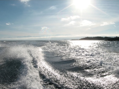
‘Ecosystem goods’, such as food, and ‘services’, such as waste assimilation, represent the benefits humans obtain from a properly functioning ecosystem and are usually referred together as ‘ecosystem services’. Unsurprisingly a large number of ecosystem services have been identified, especially for the oceans which cover the majority of the planet and the coastal zone where the majority of humans live.

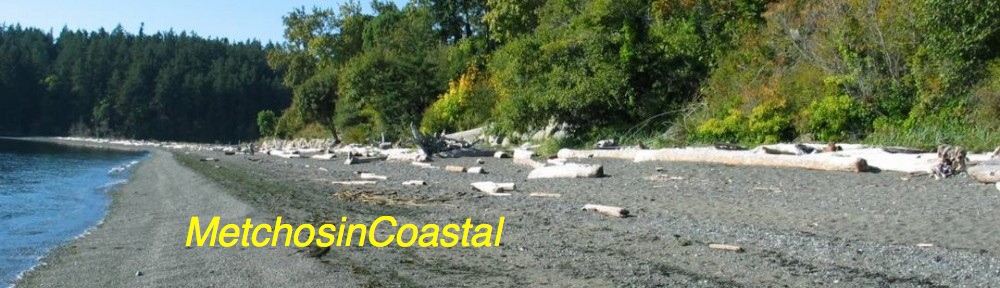
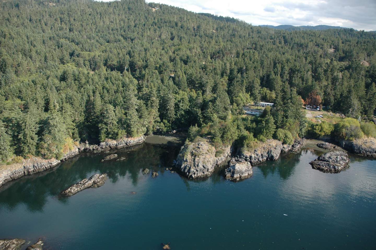
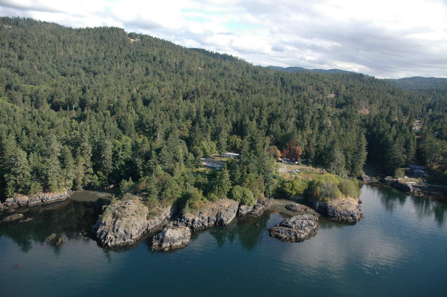
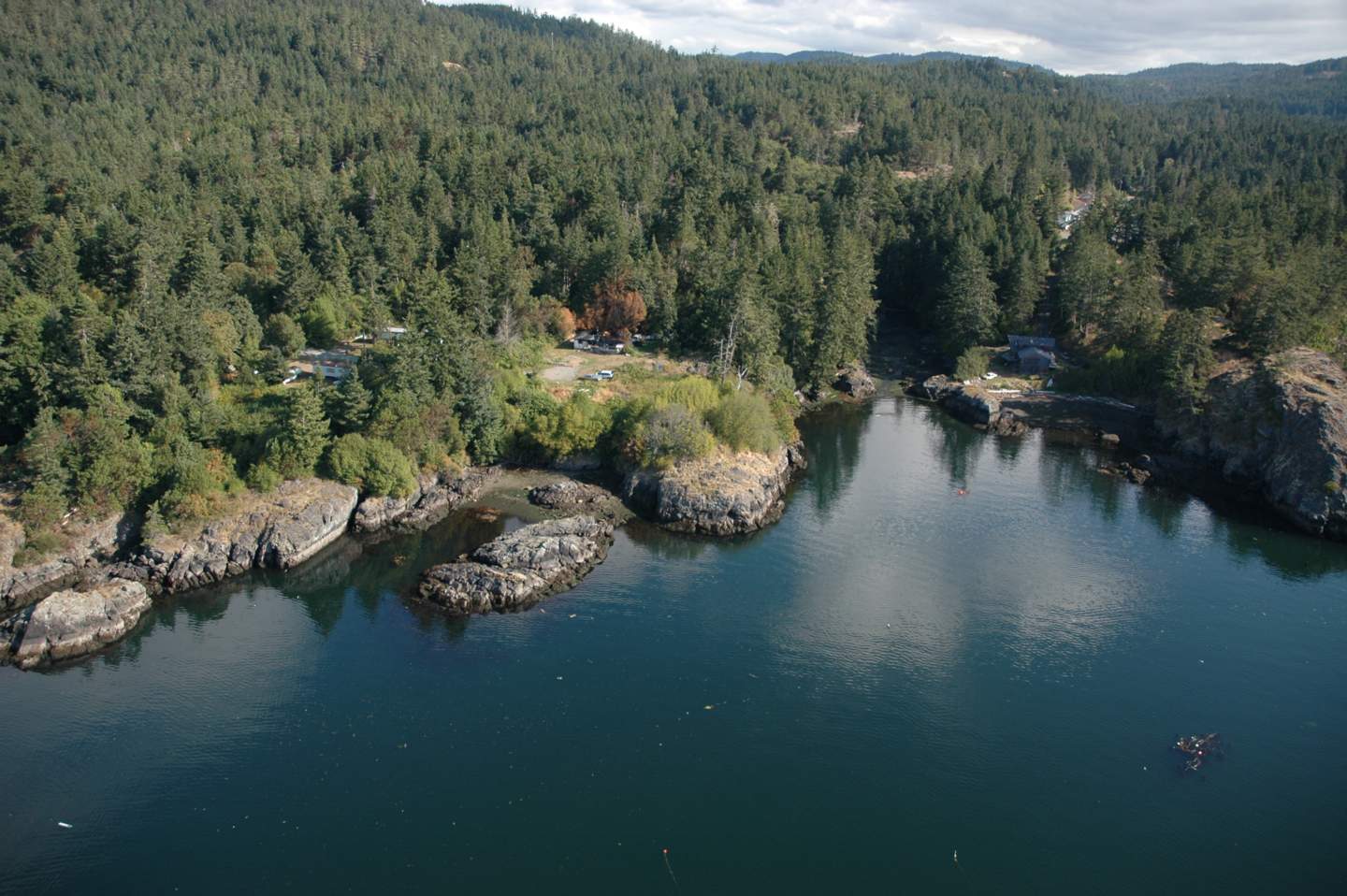
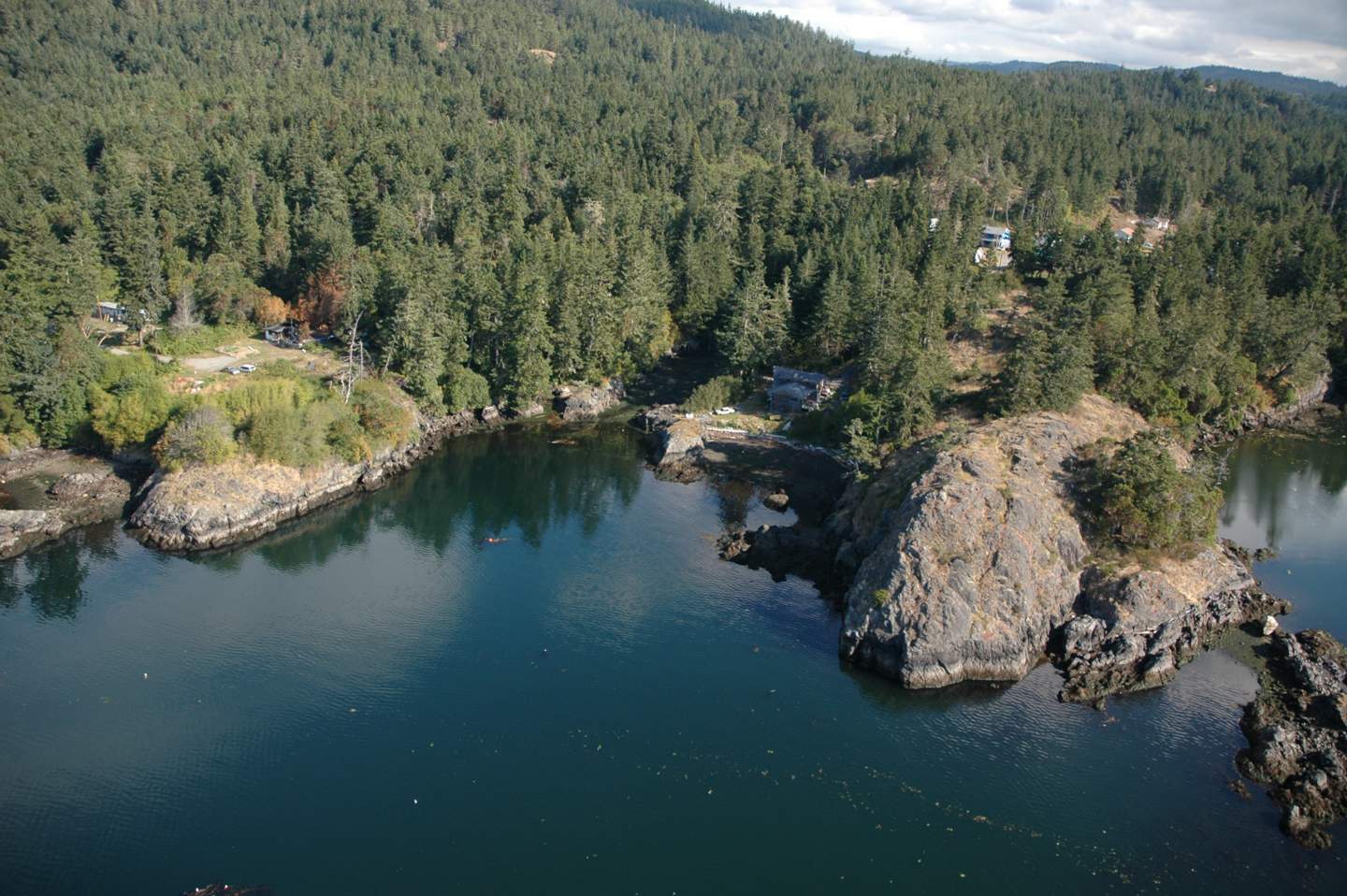
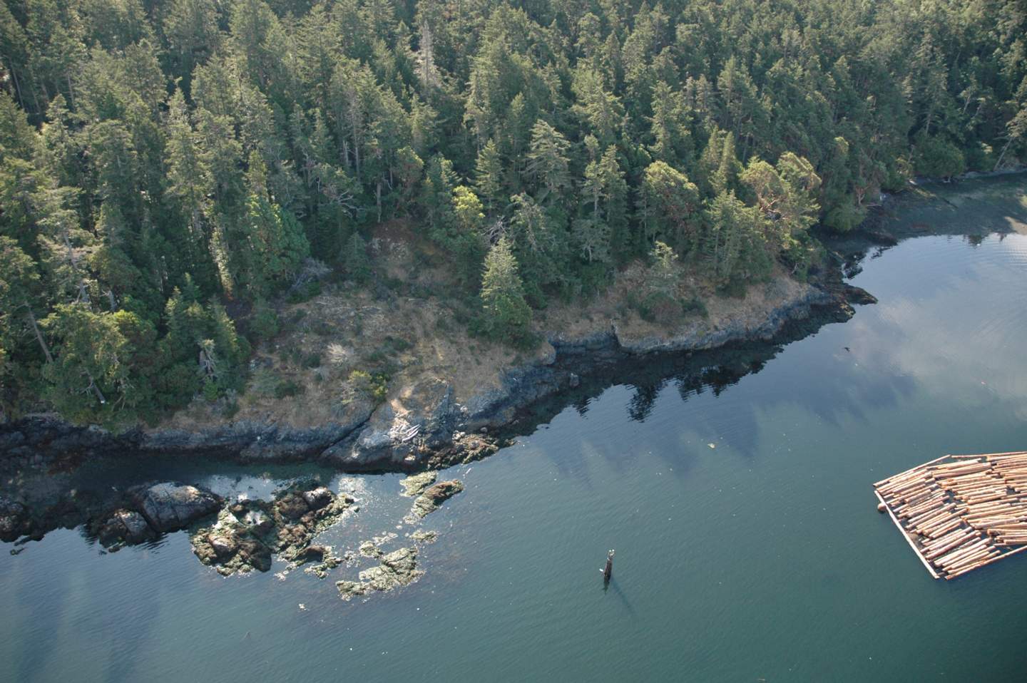
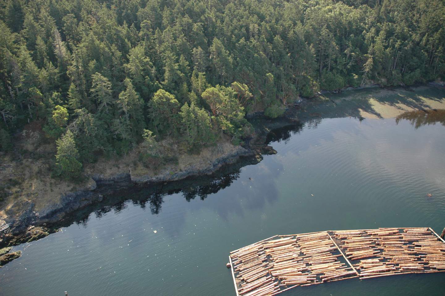
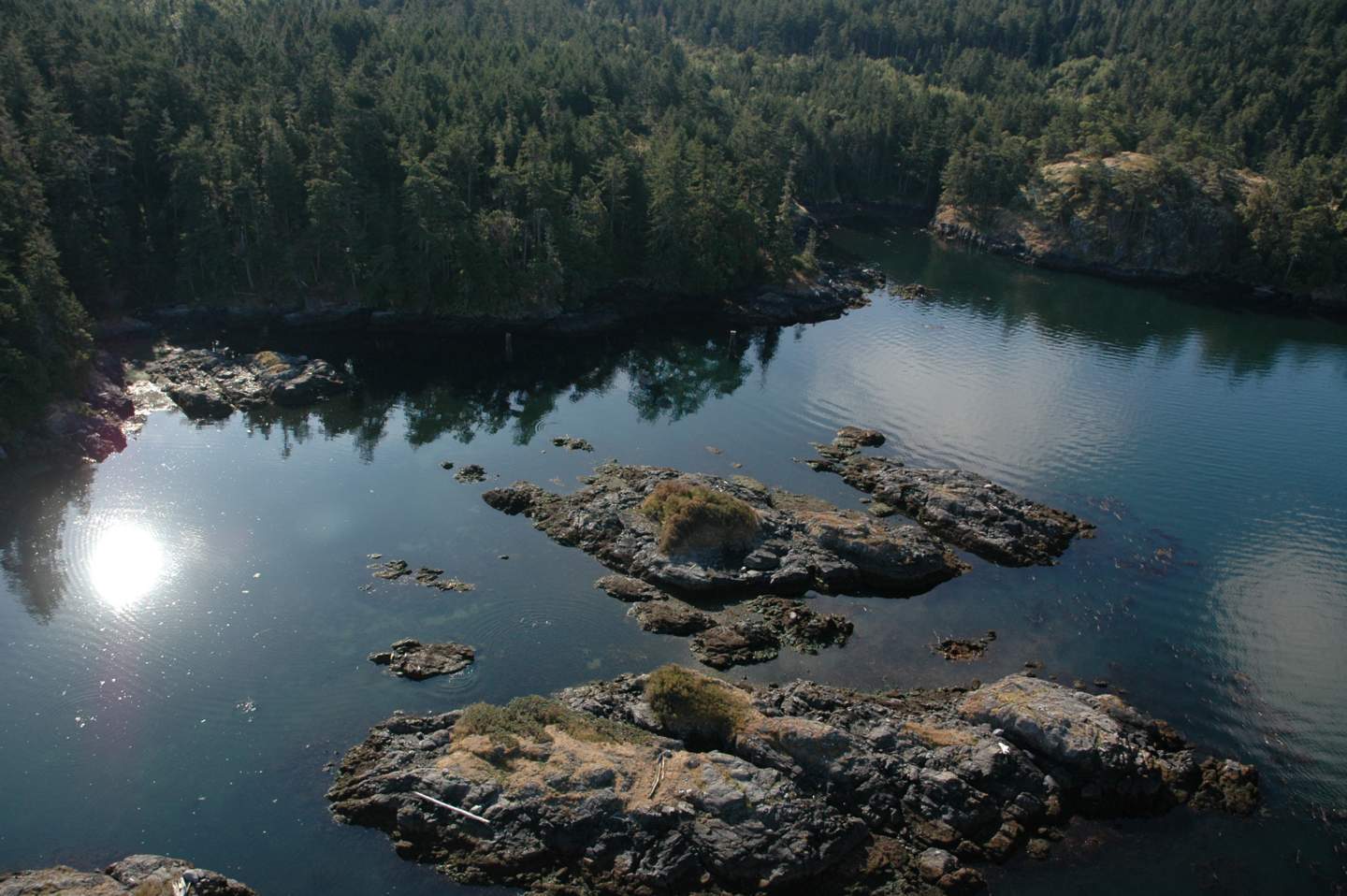
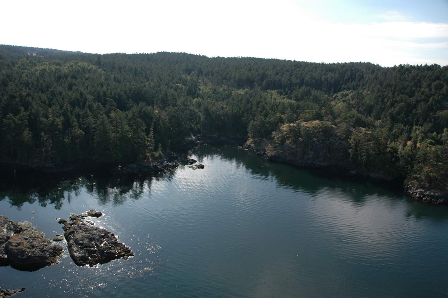
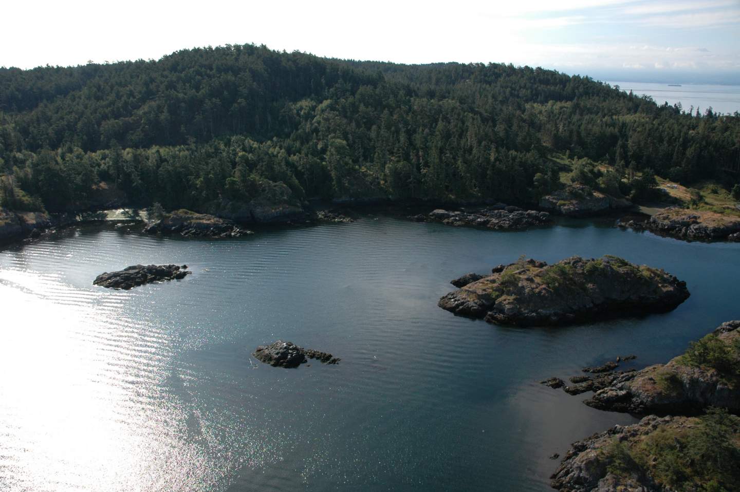
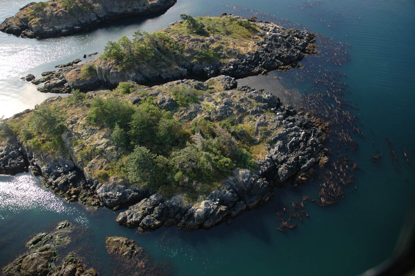
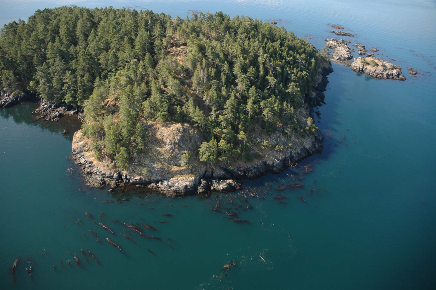
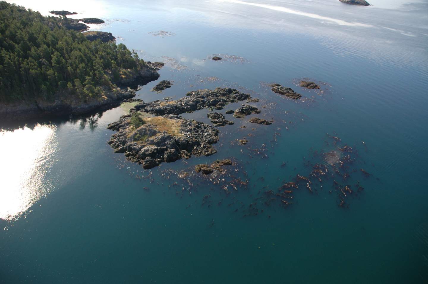
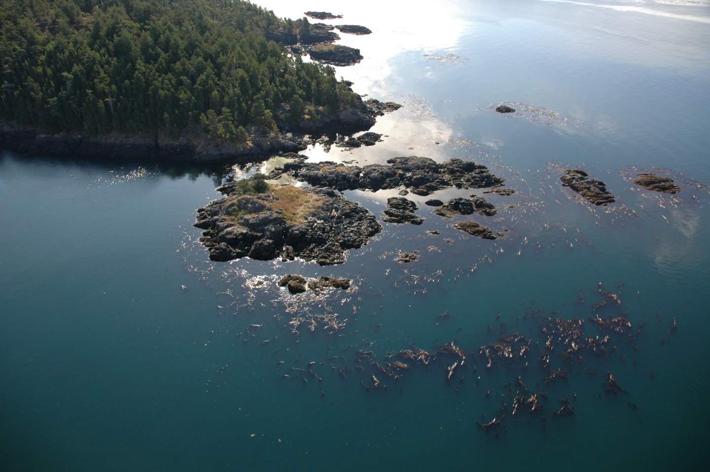
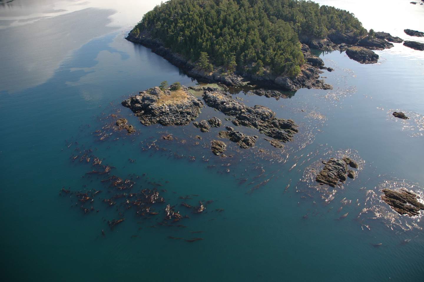
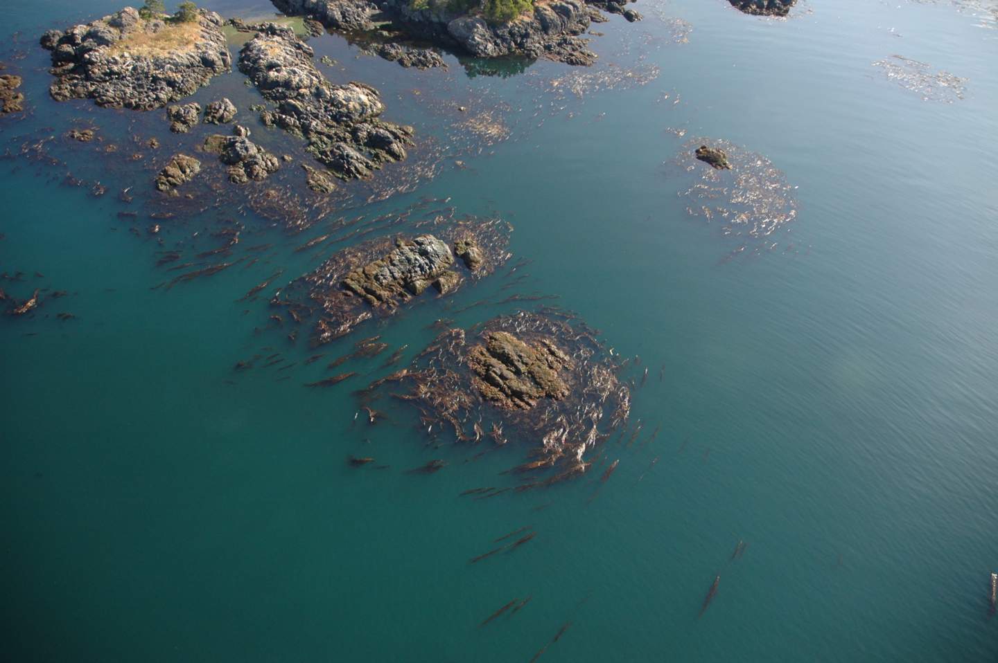
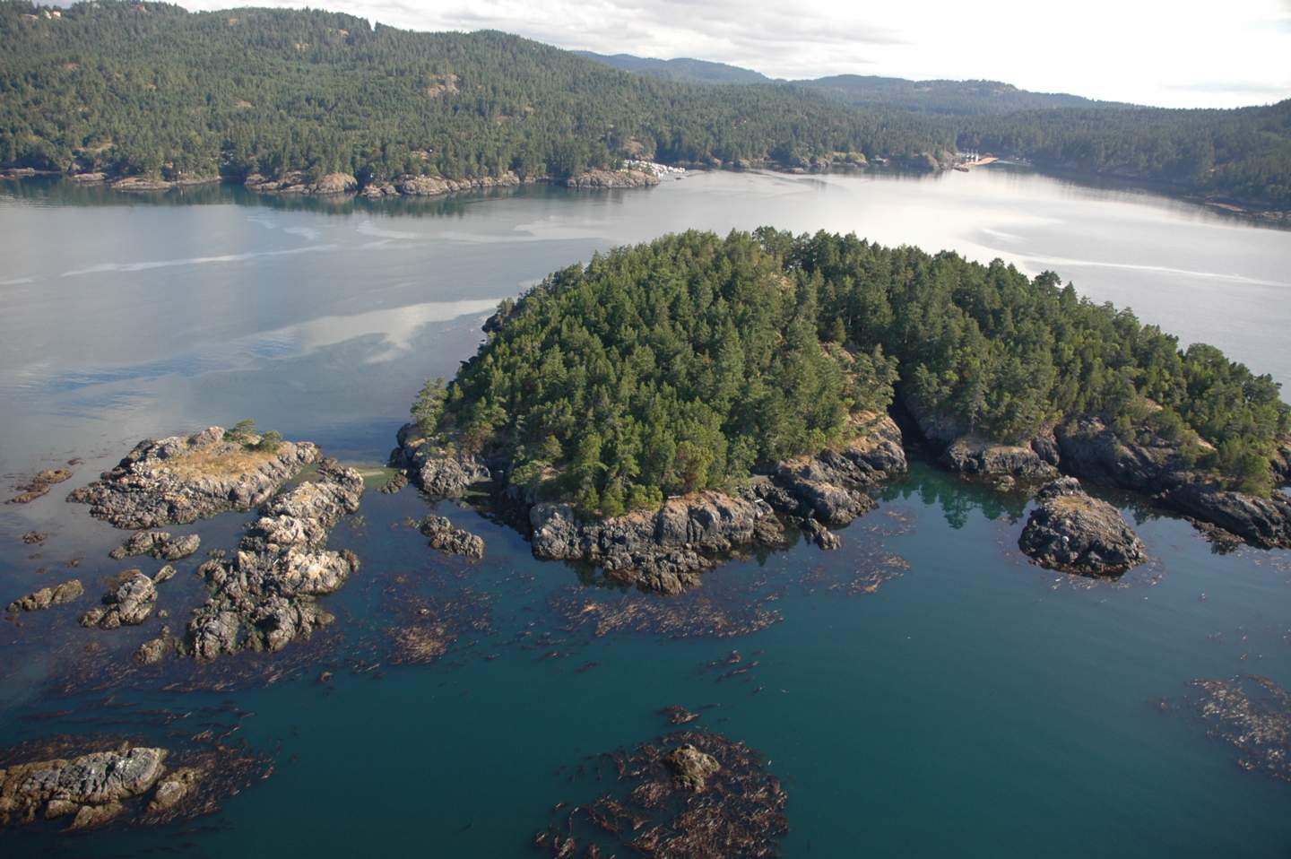
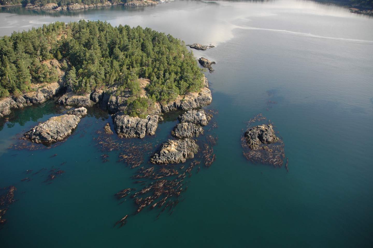
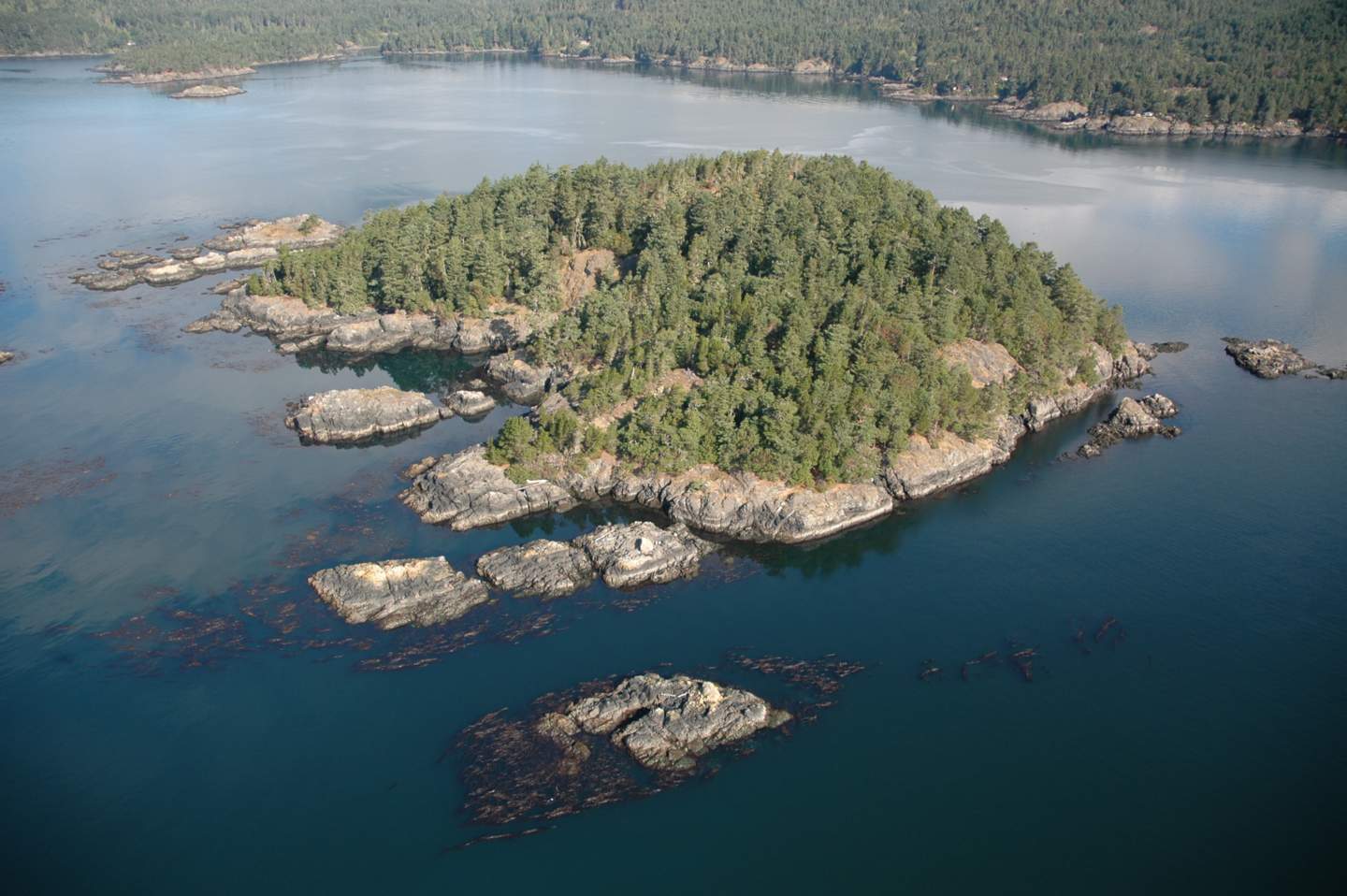
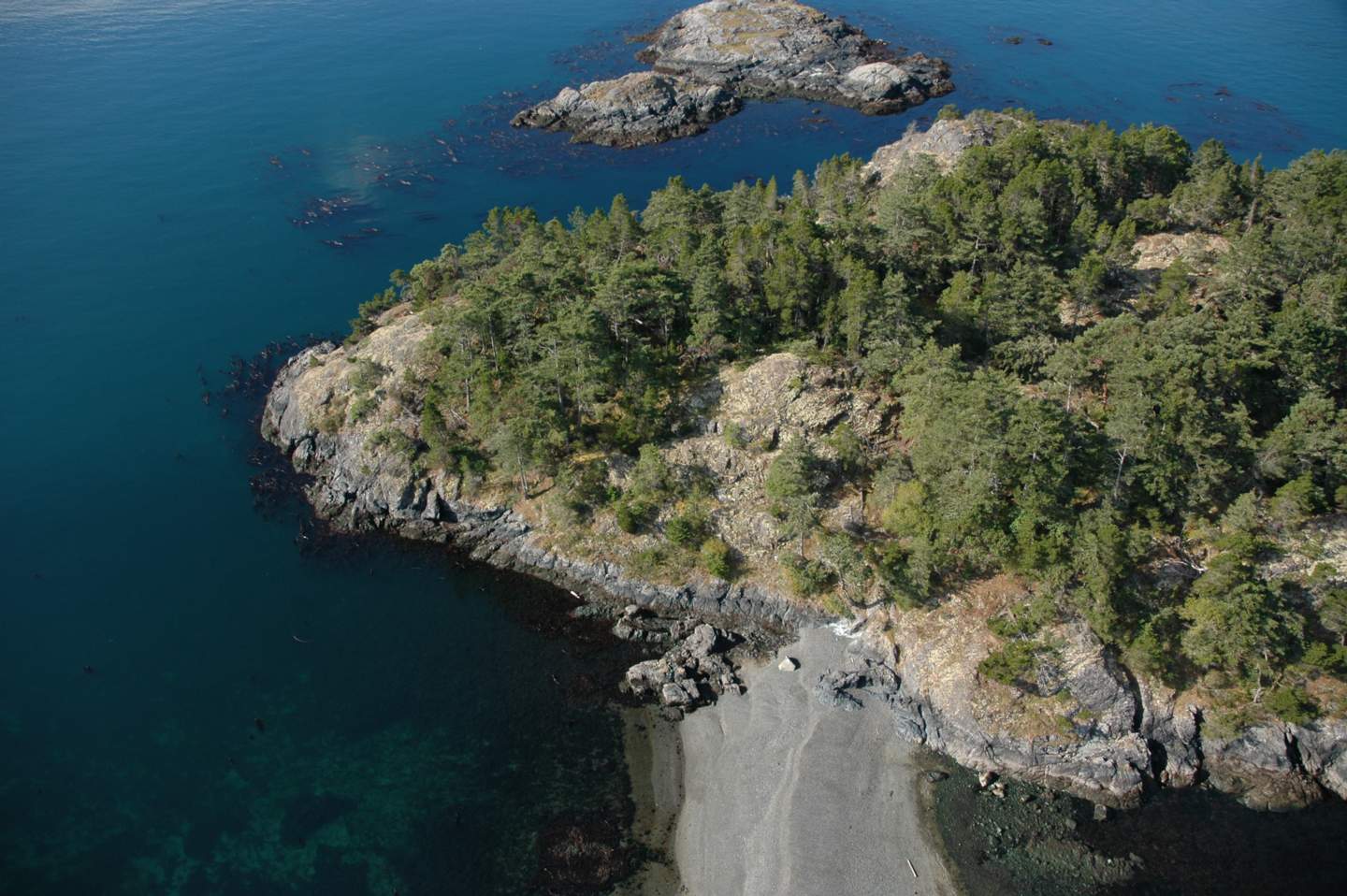
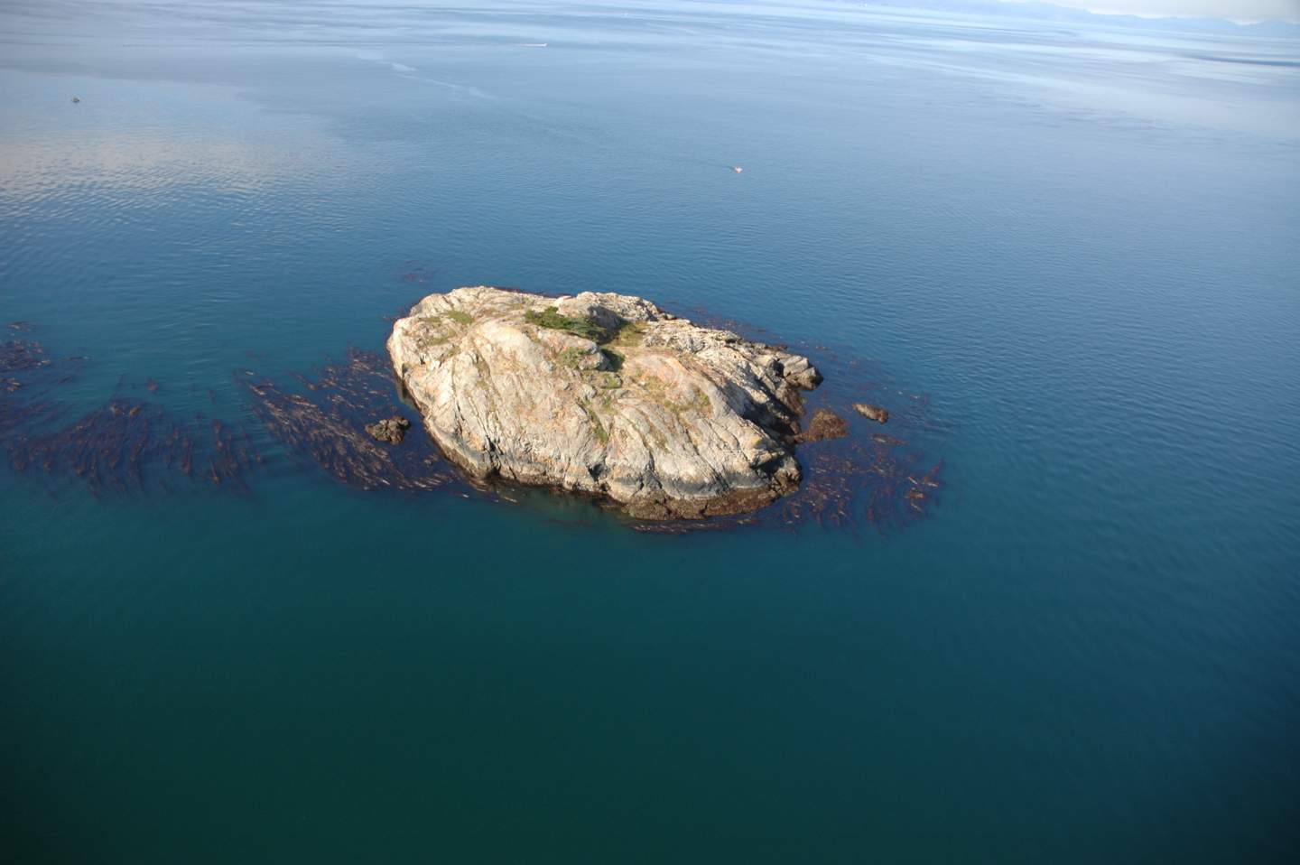
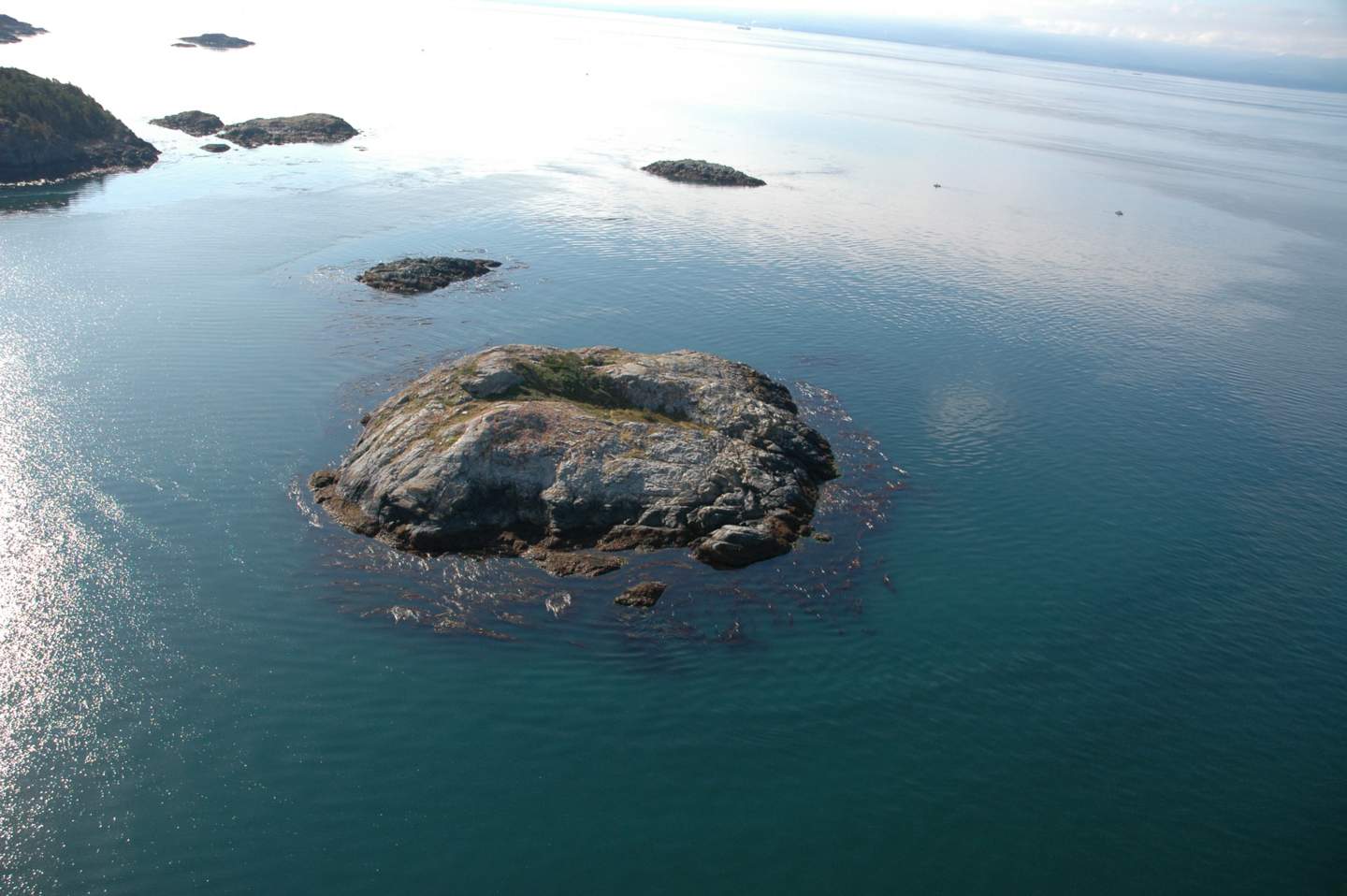
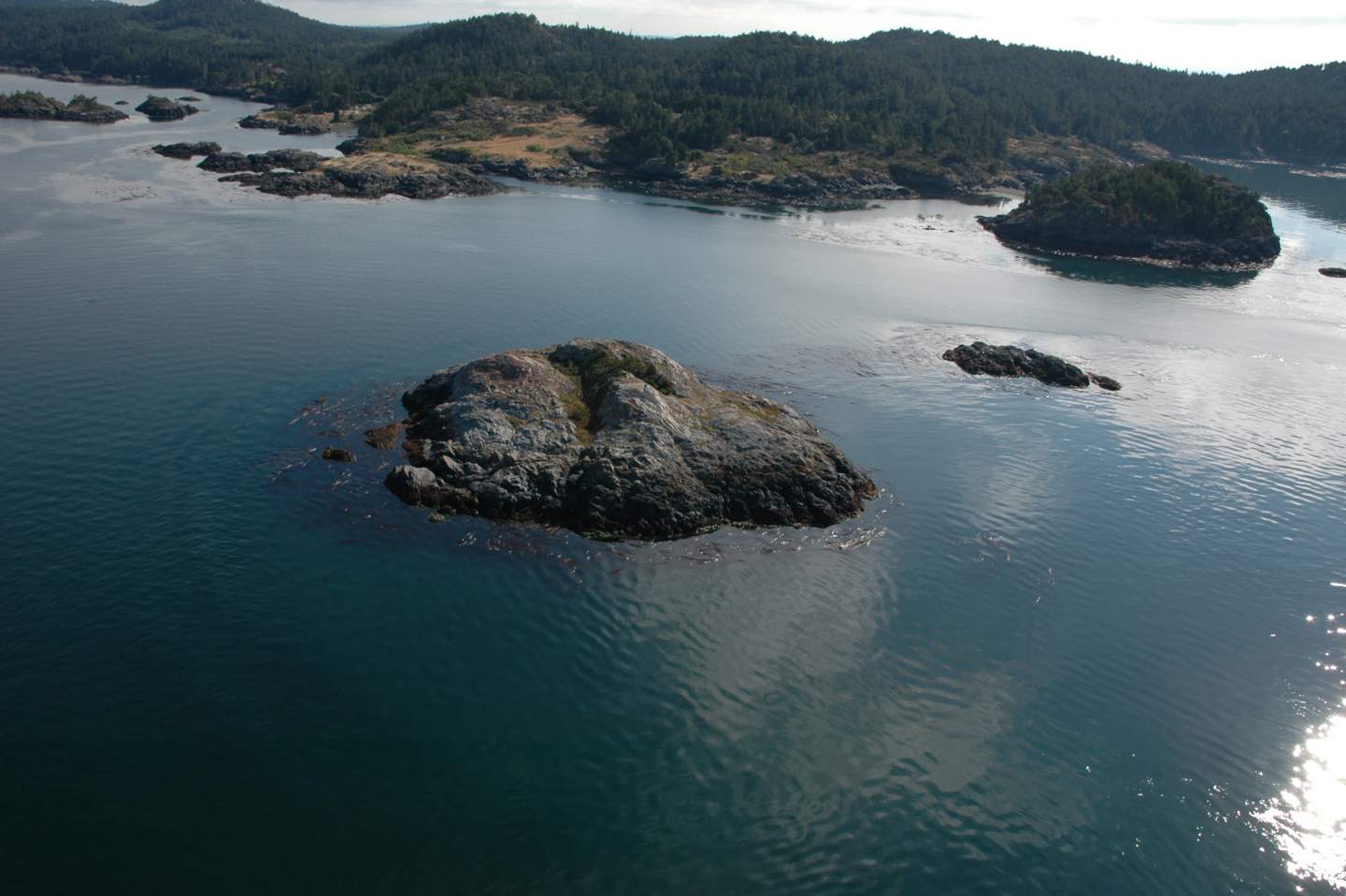
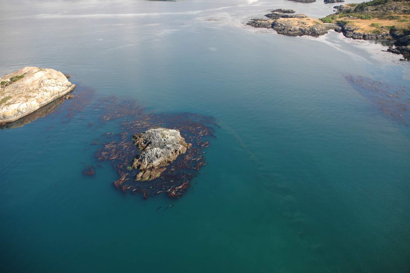
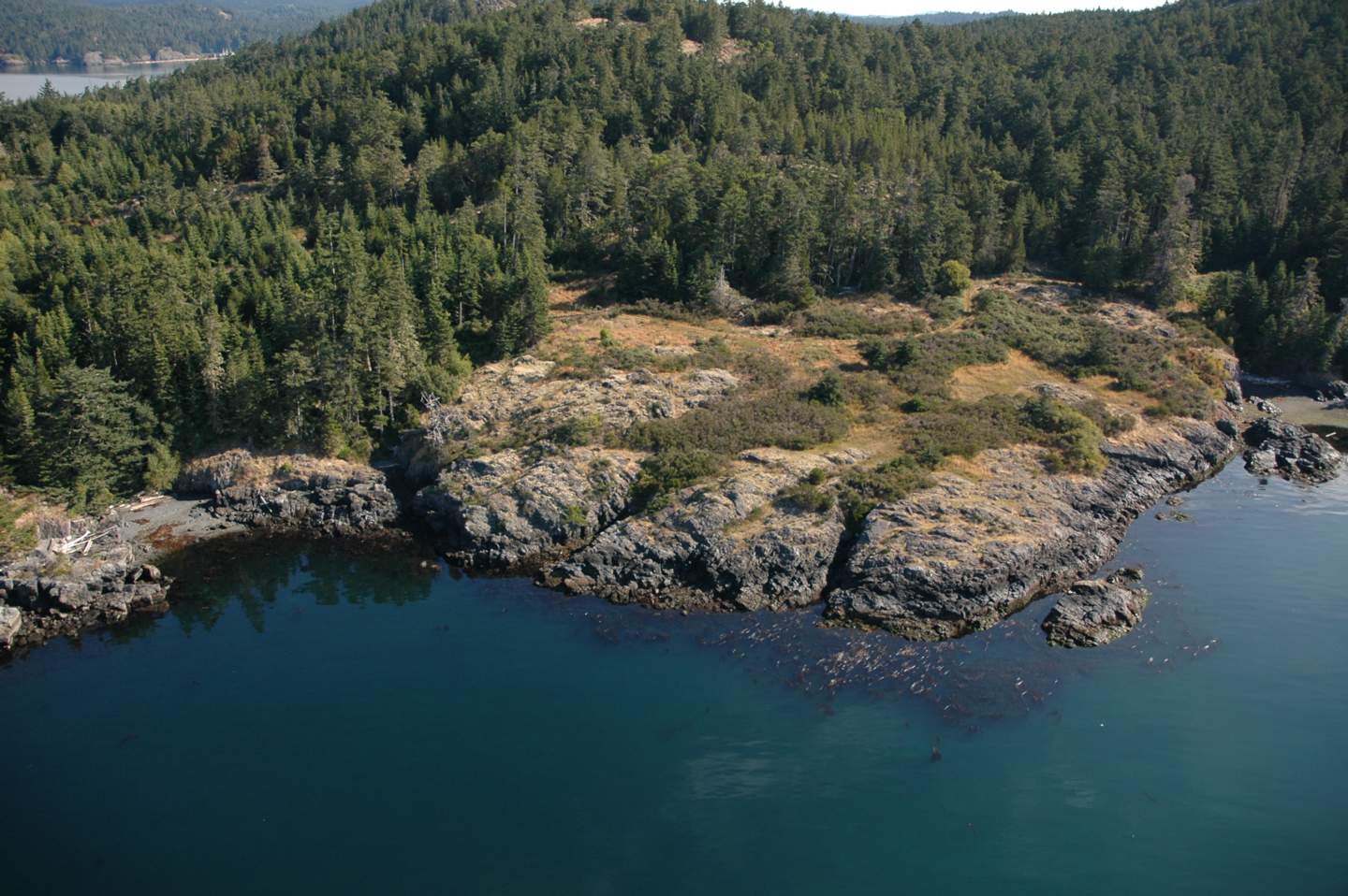
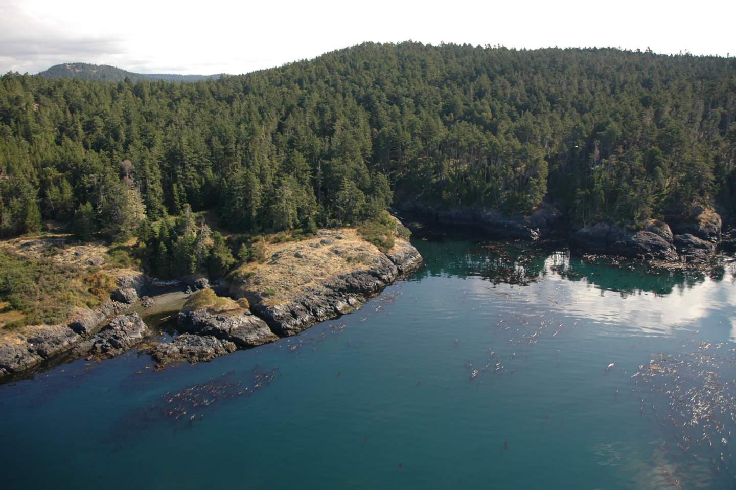
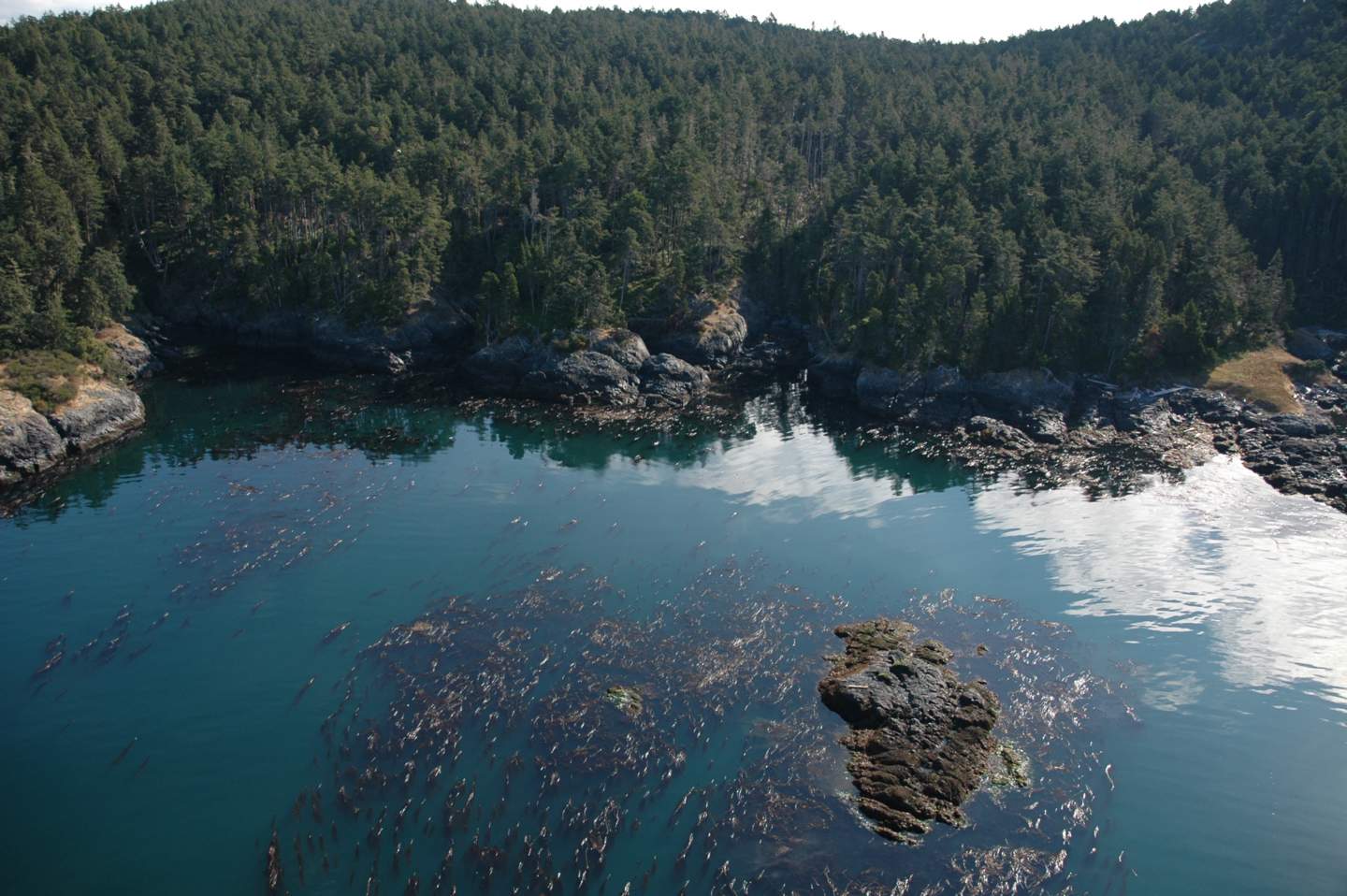
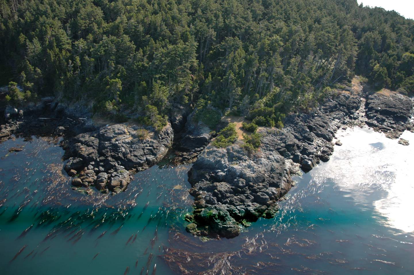
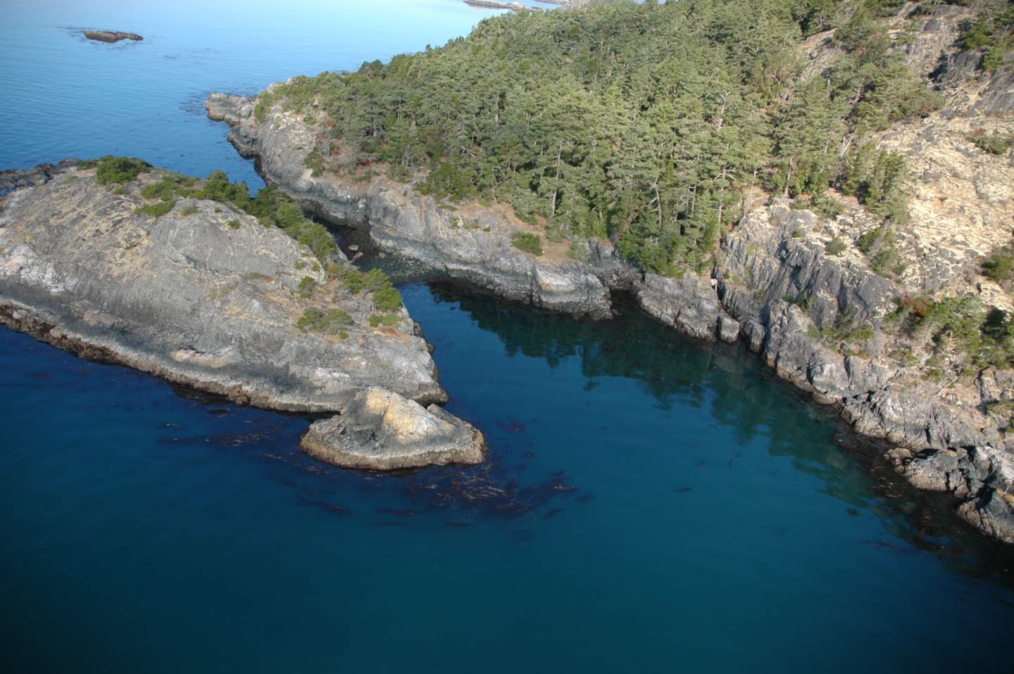
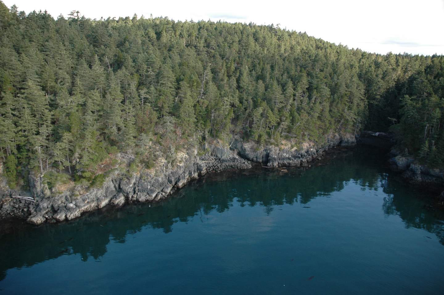
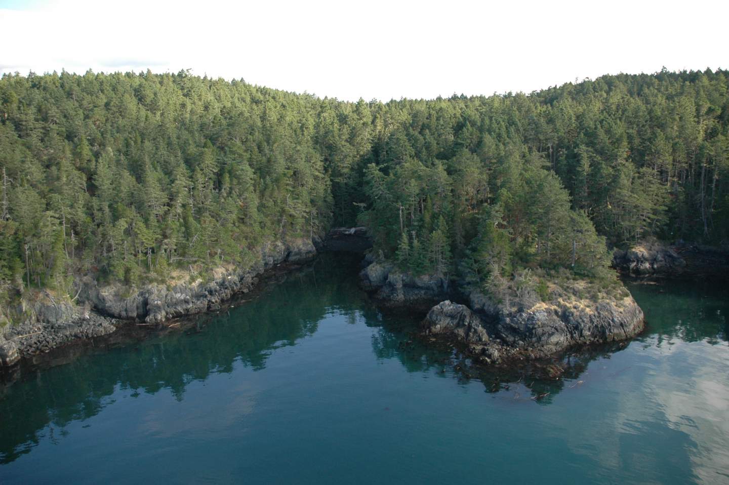
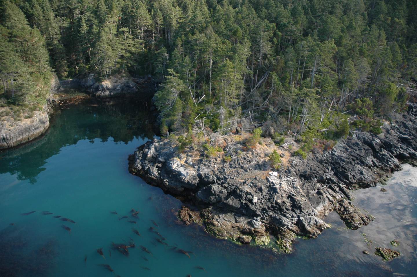
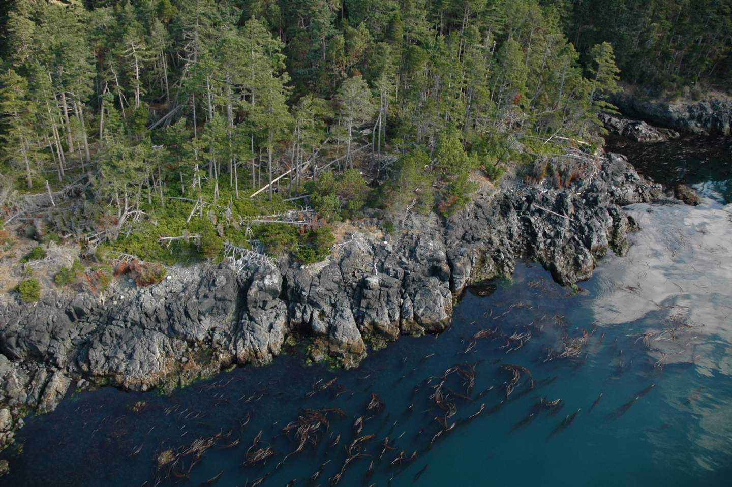
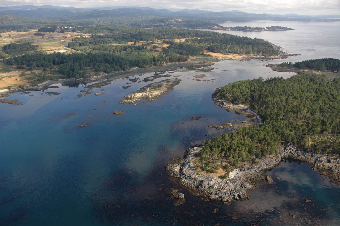
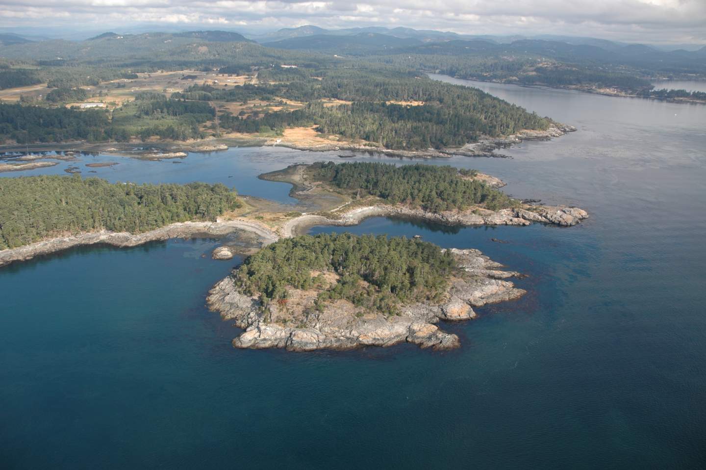
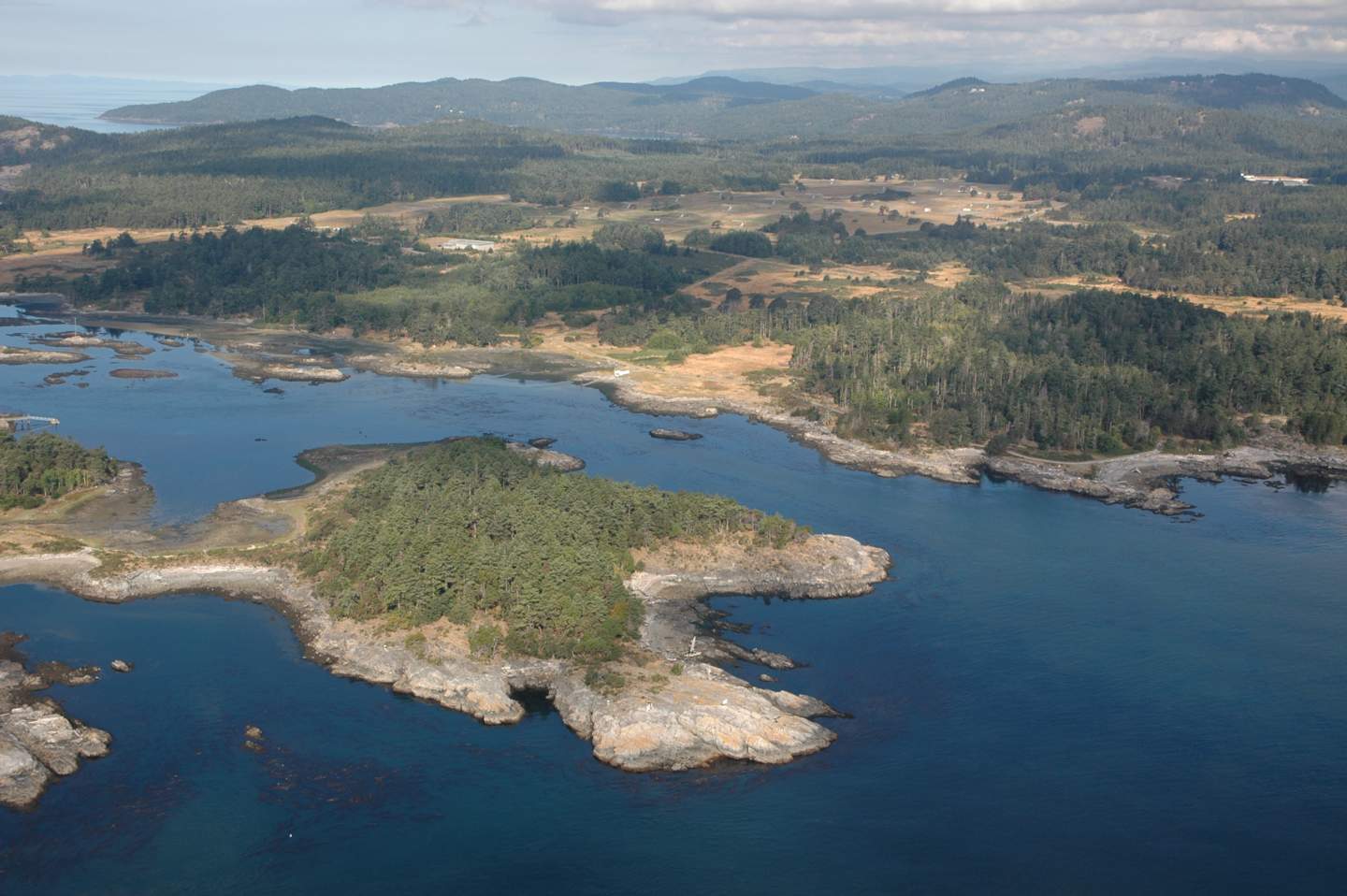
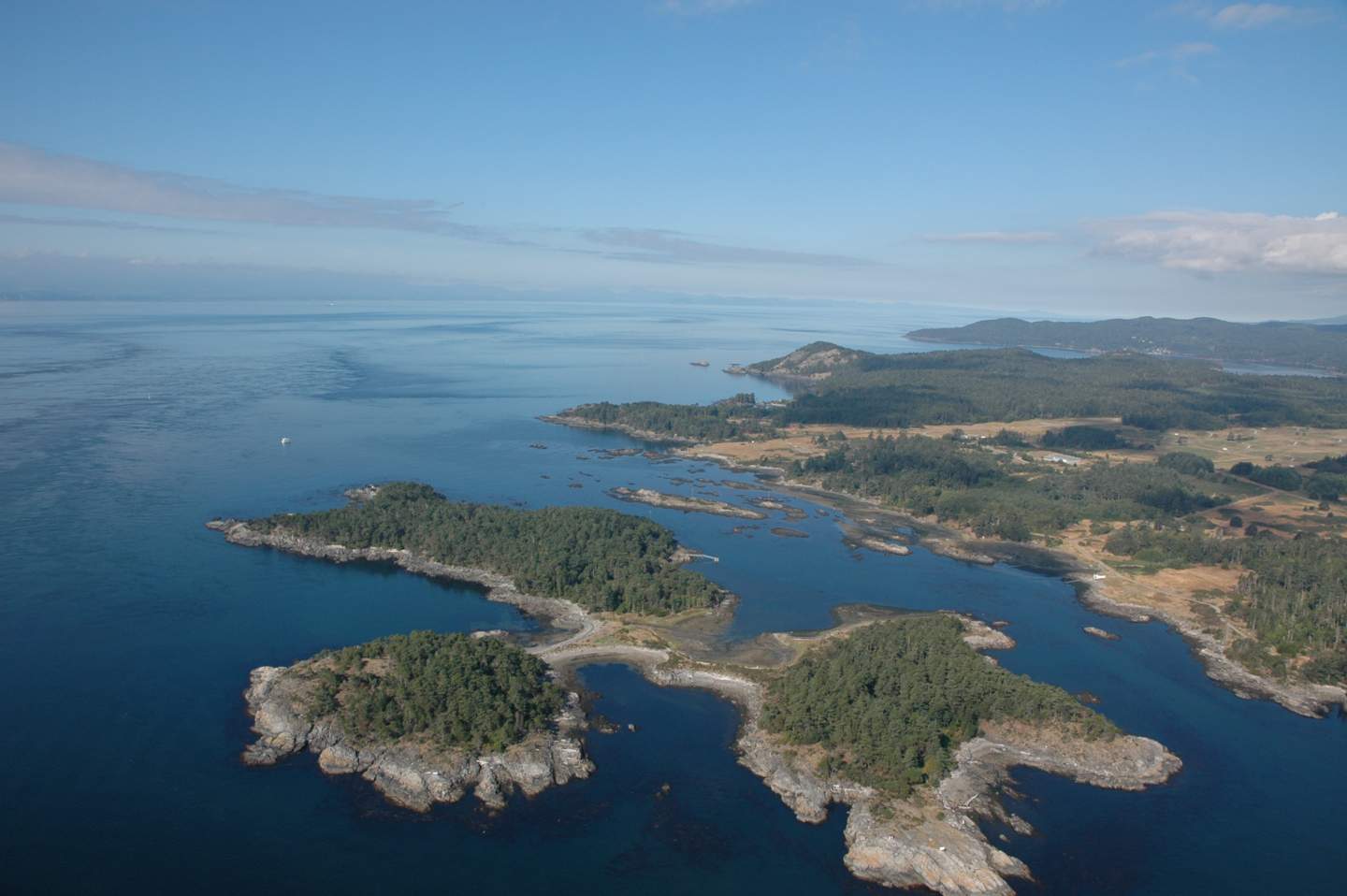
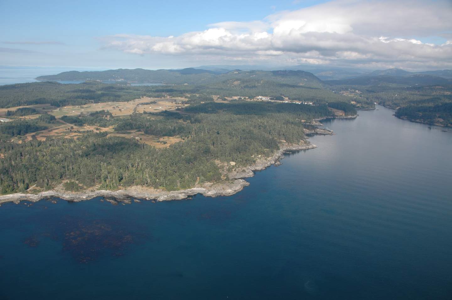
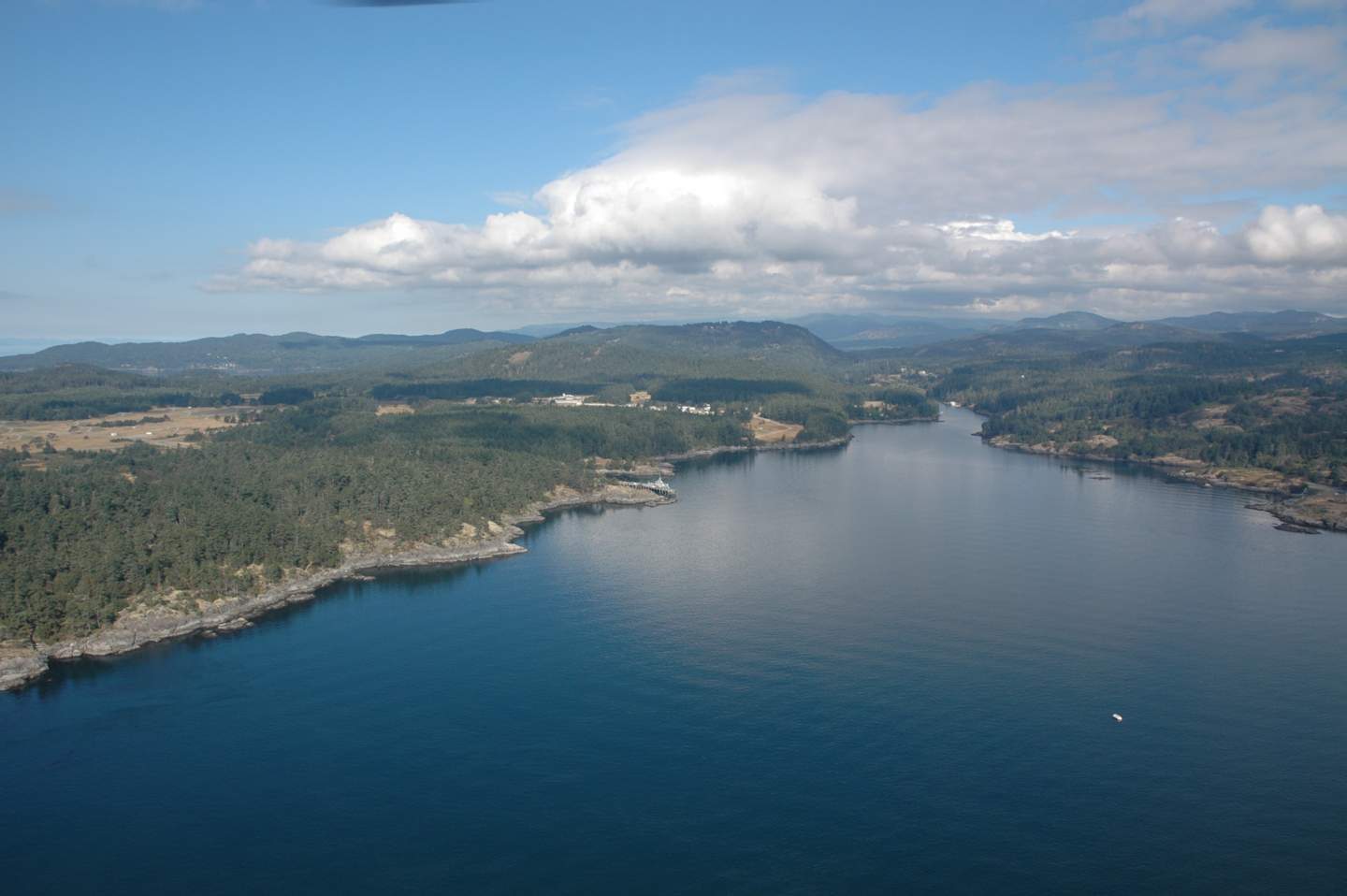
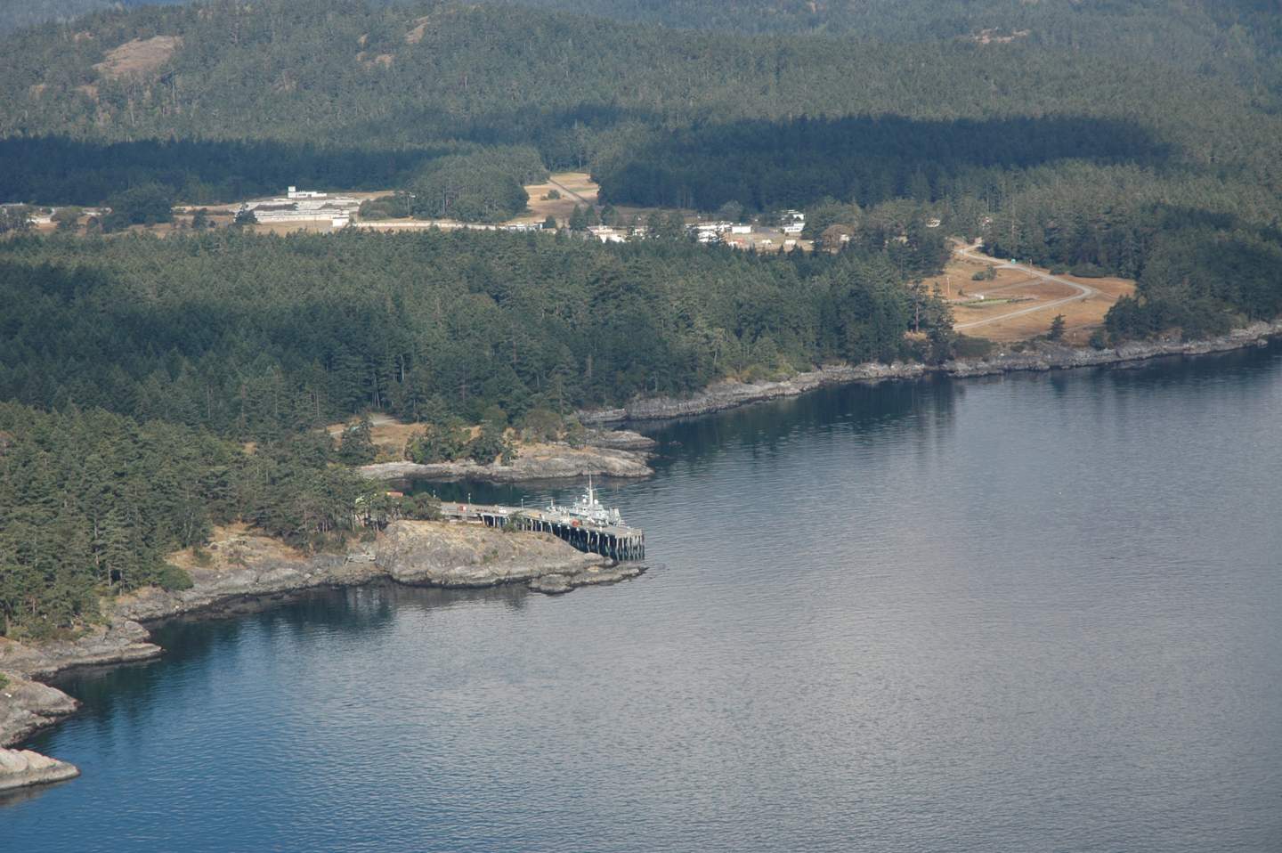
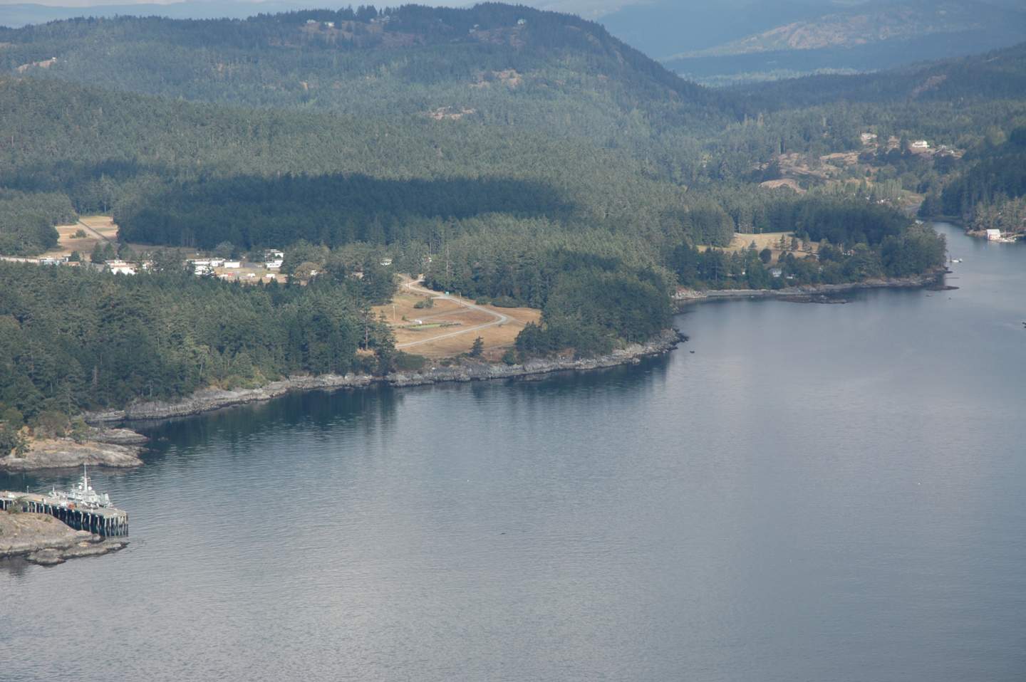
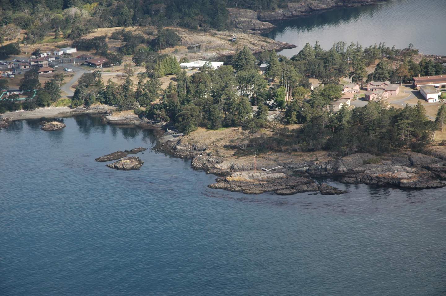
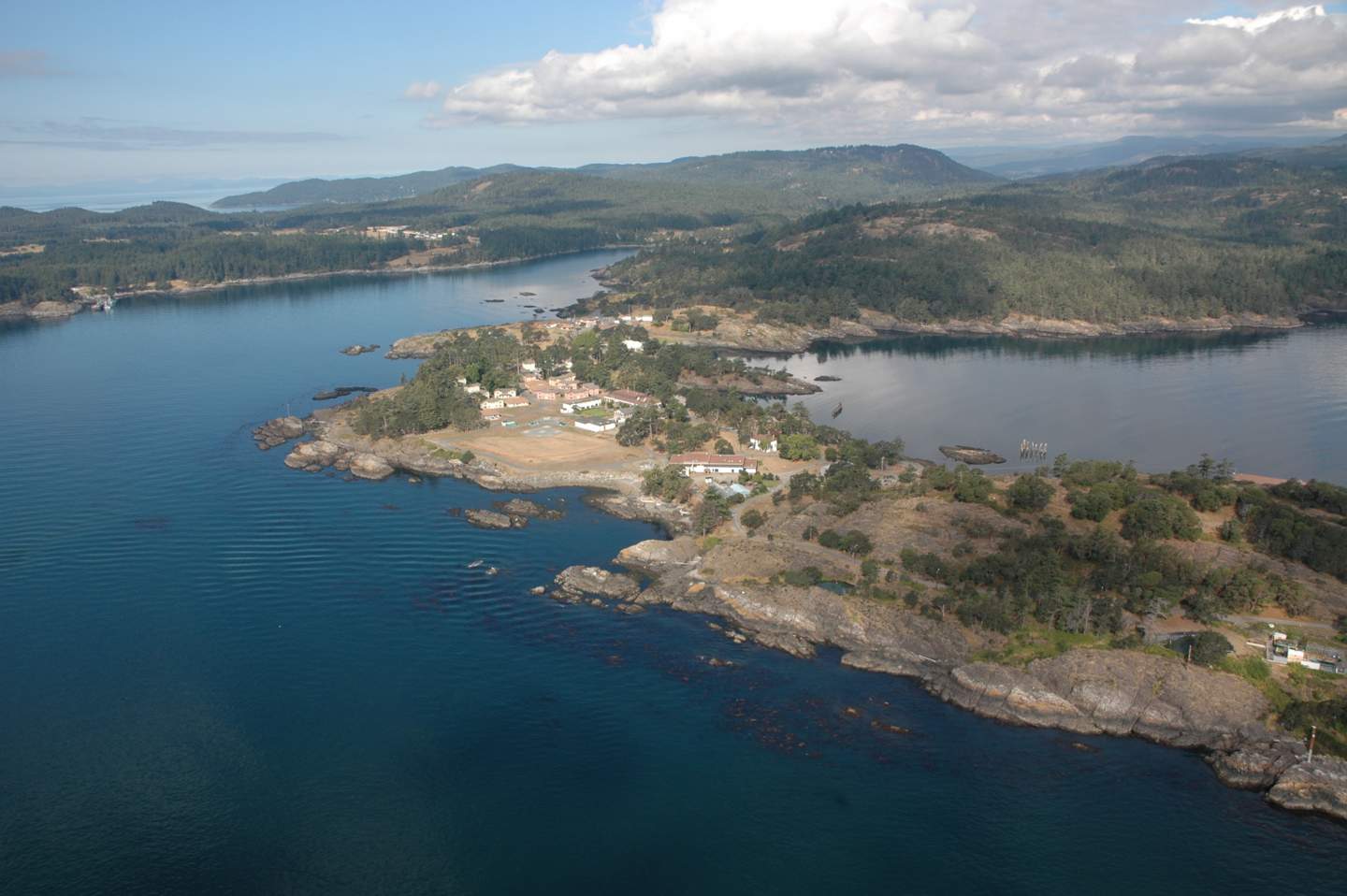
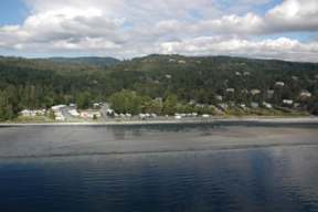
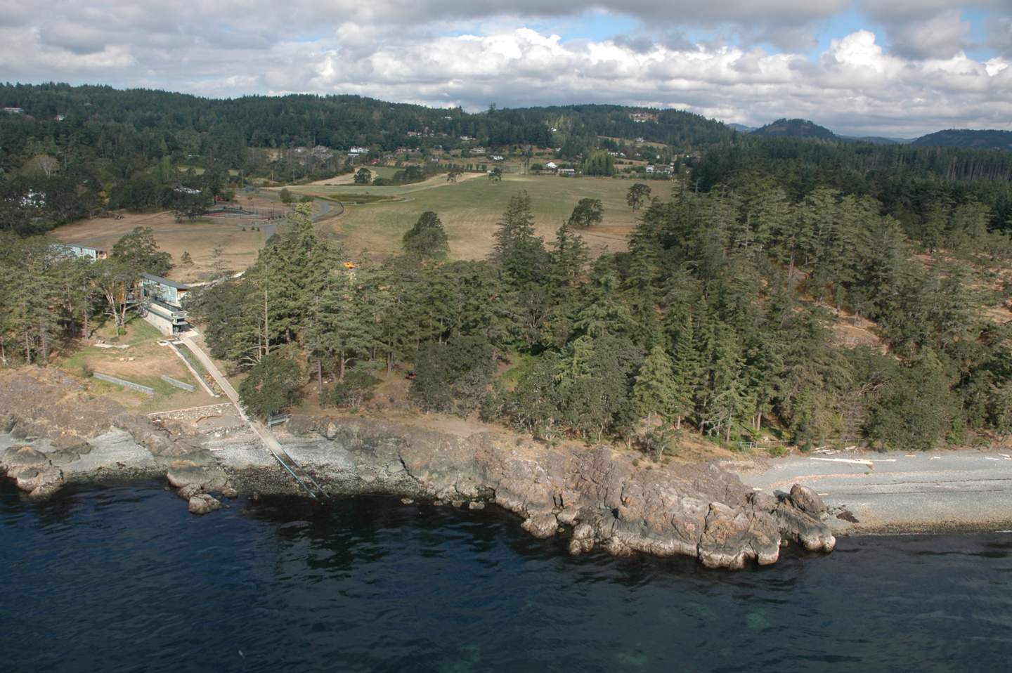
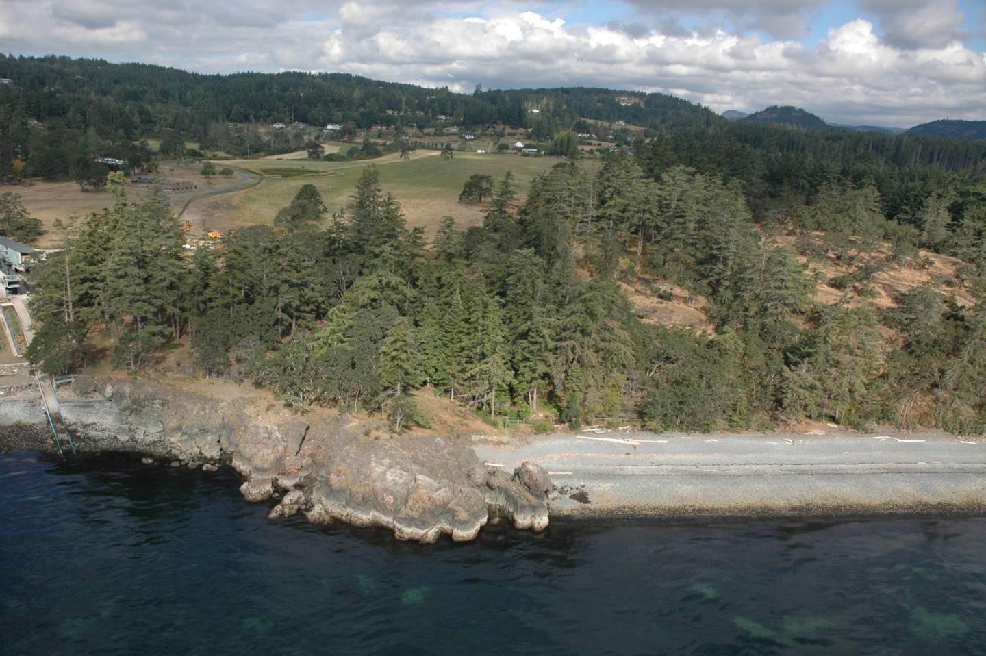
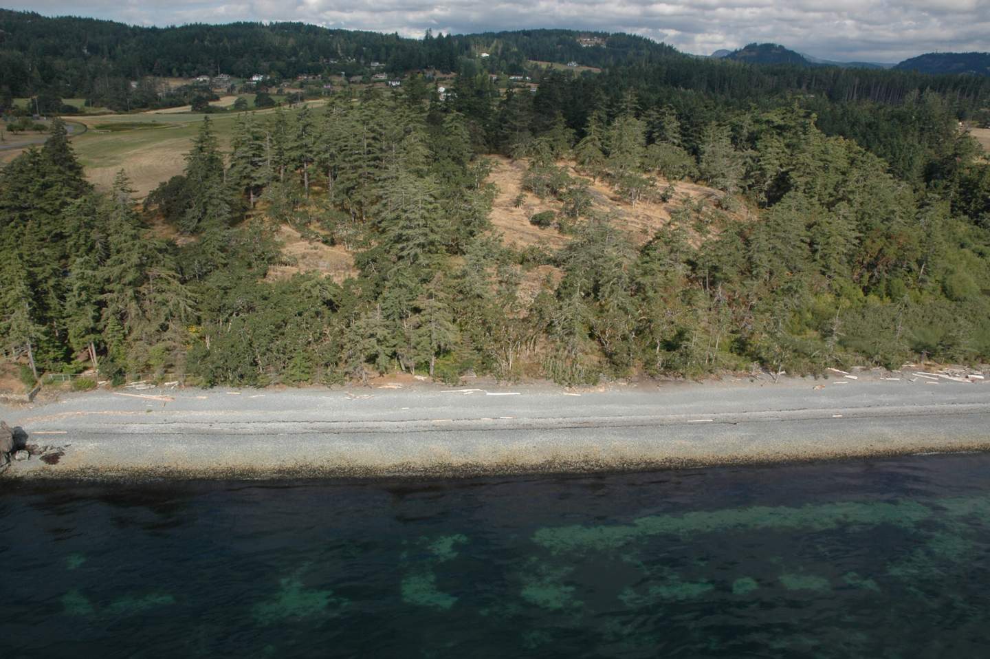
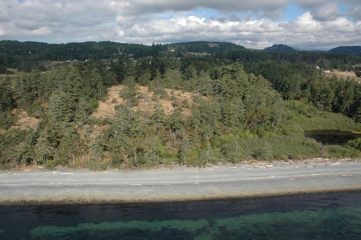
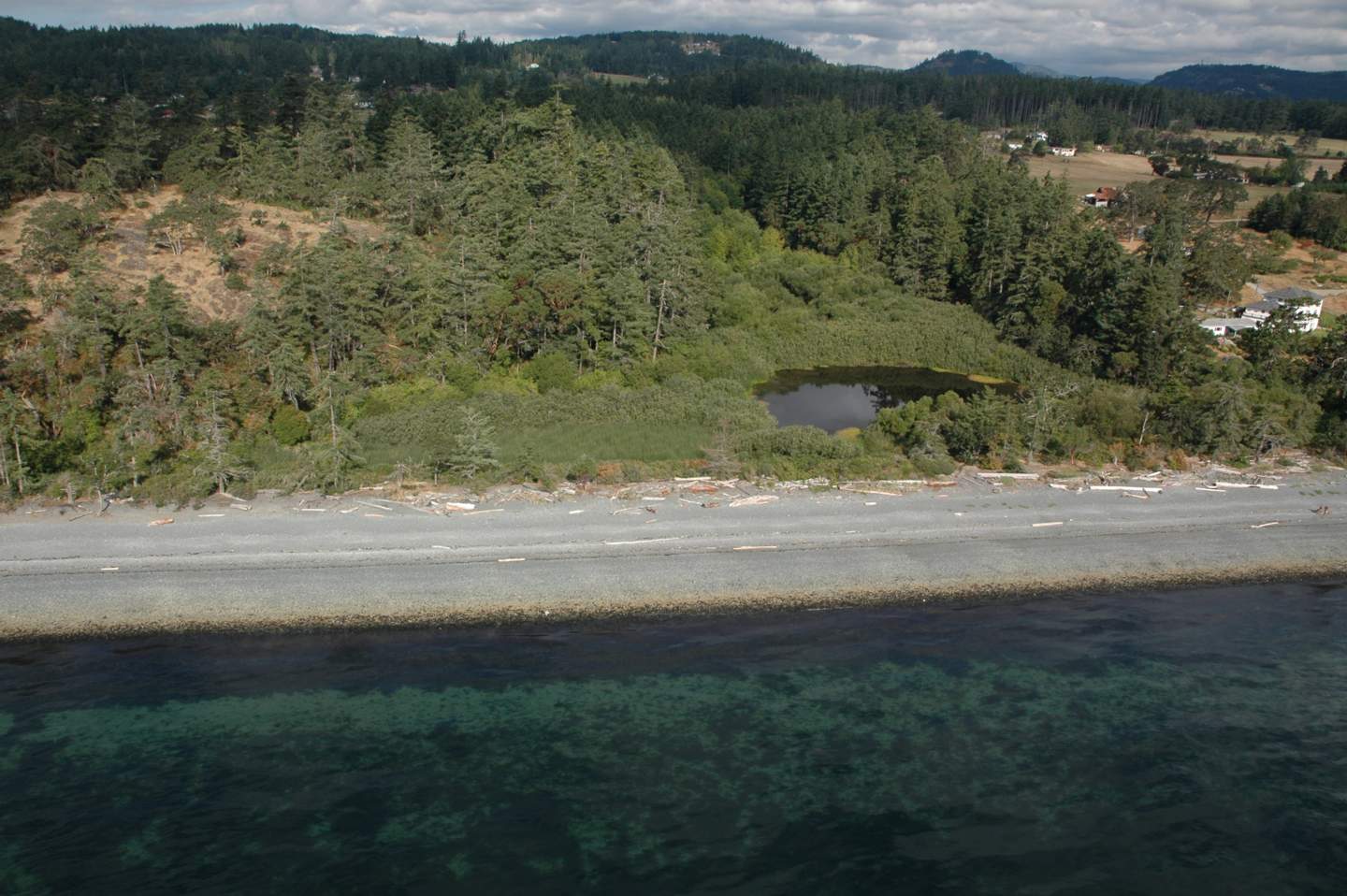
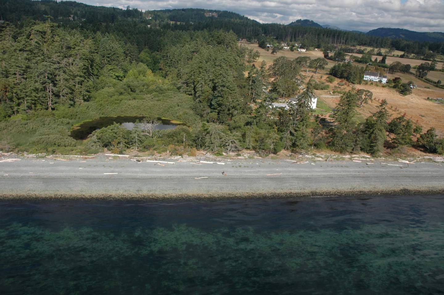
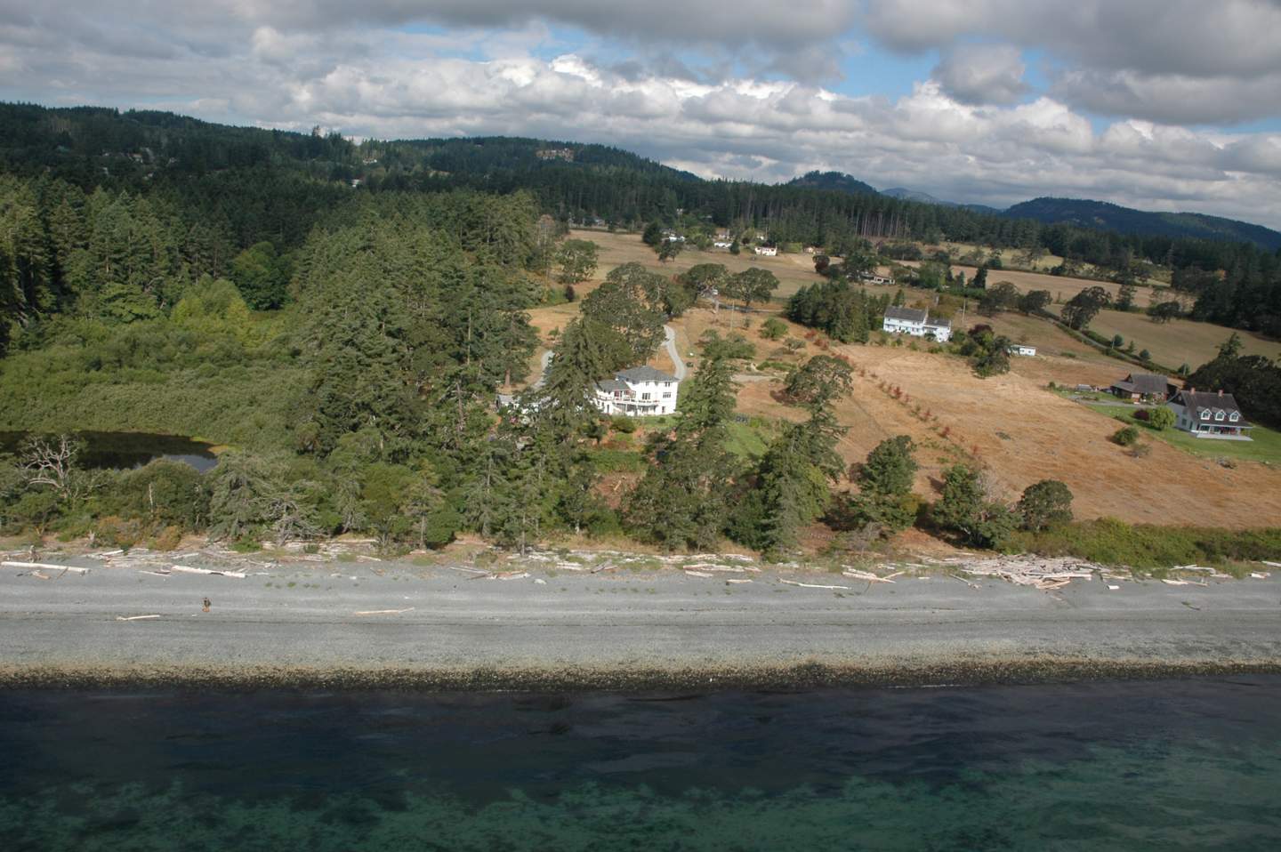
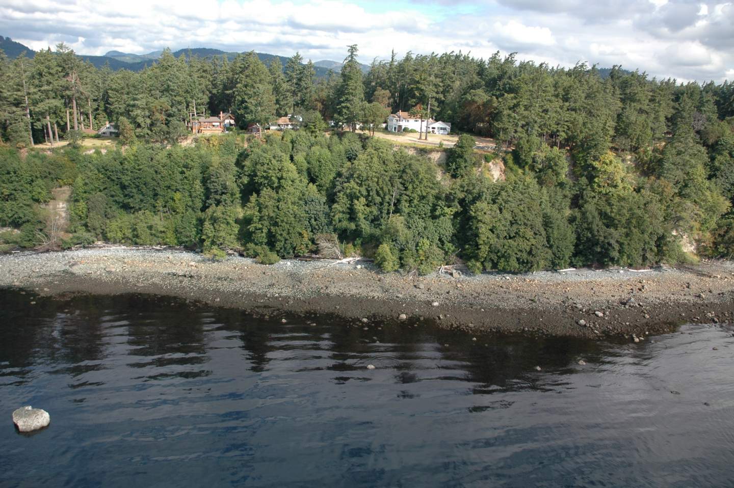
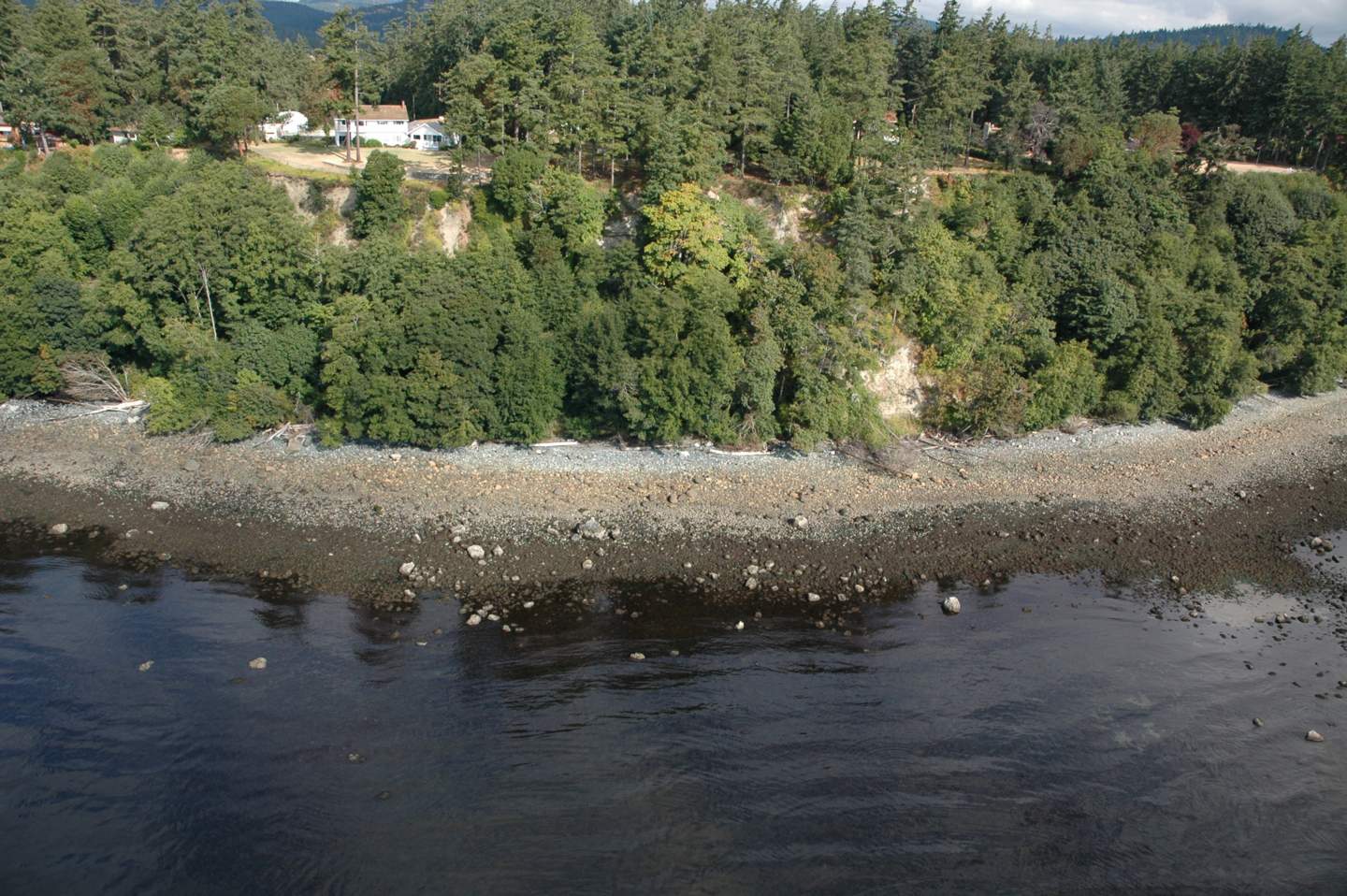
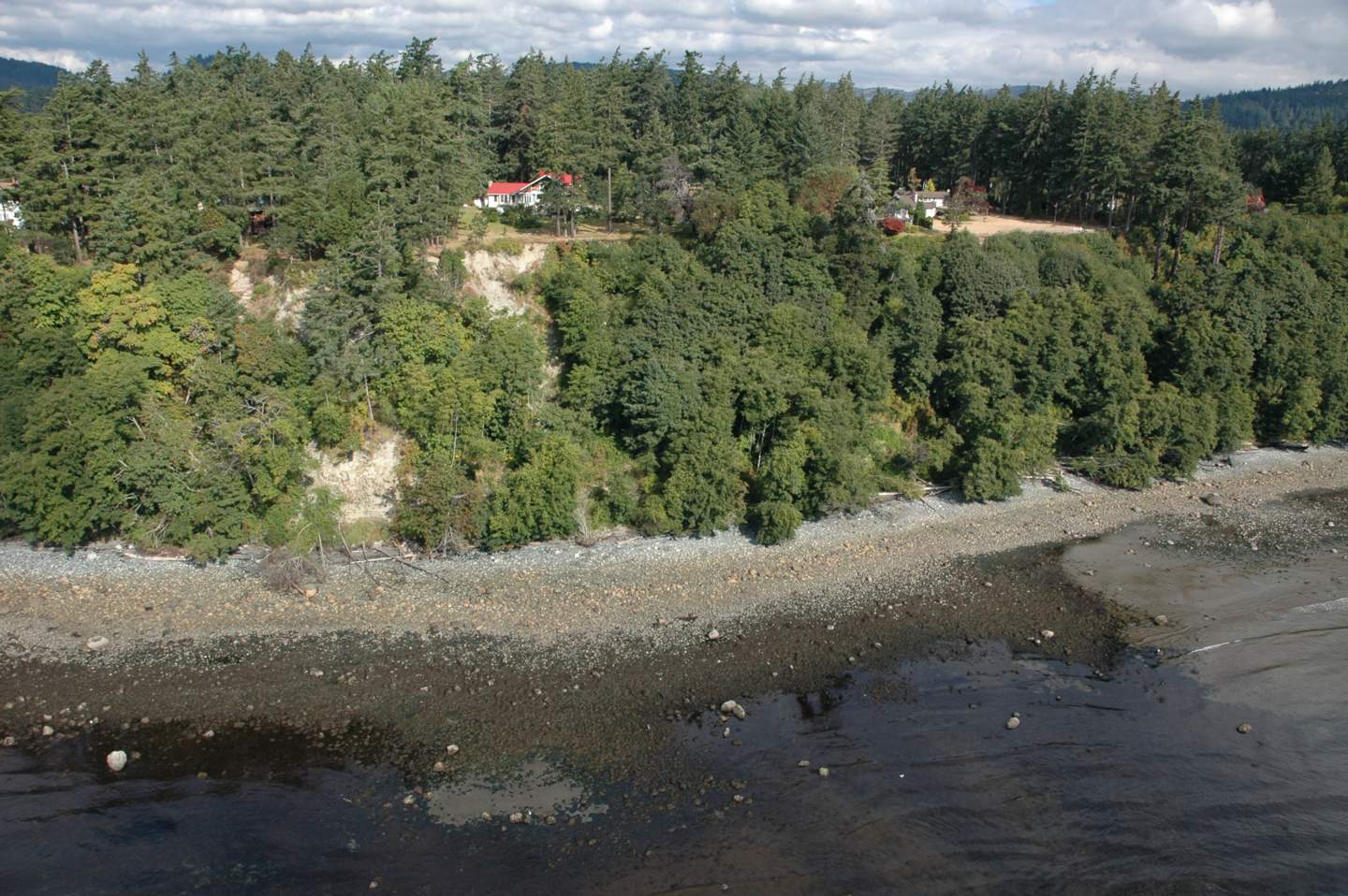
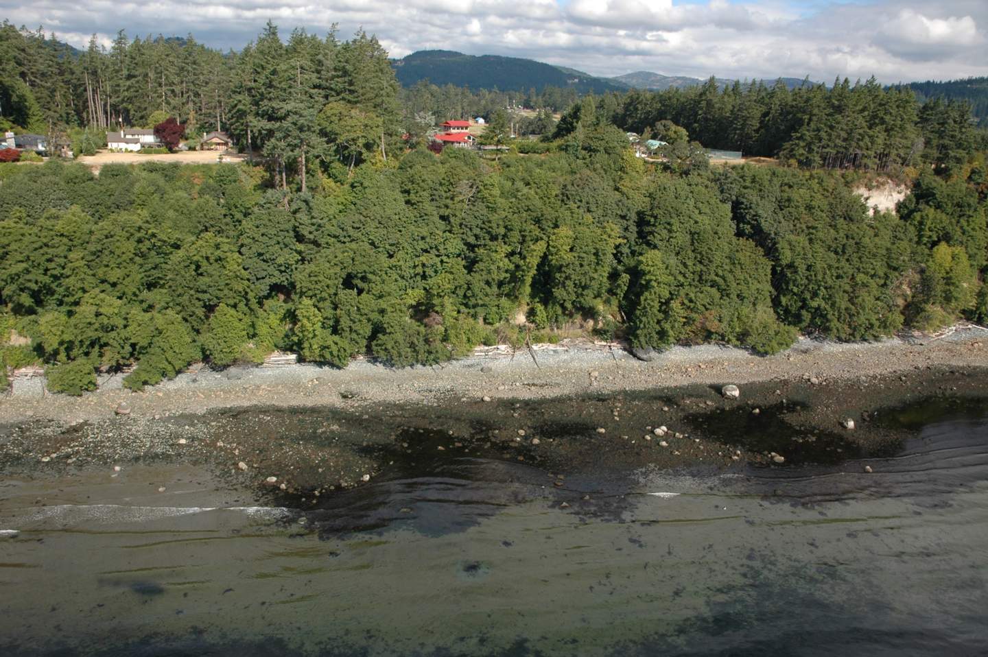
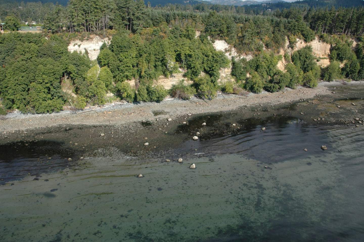
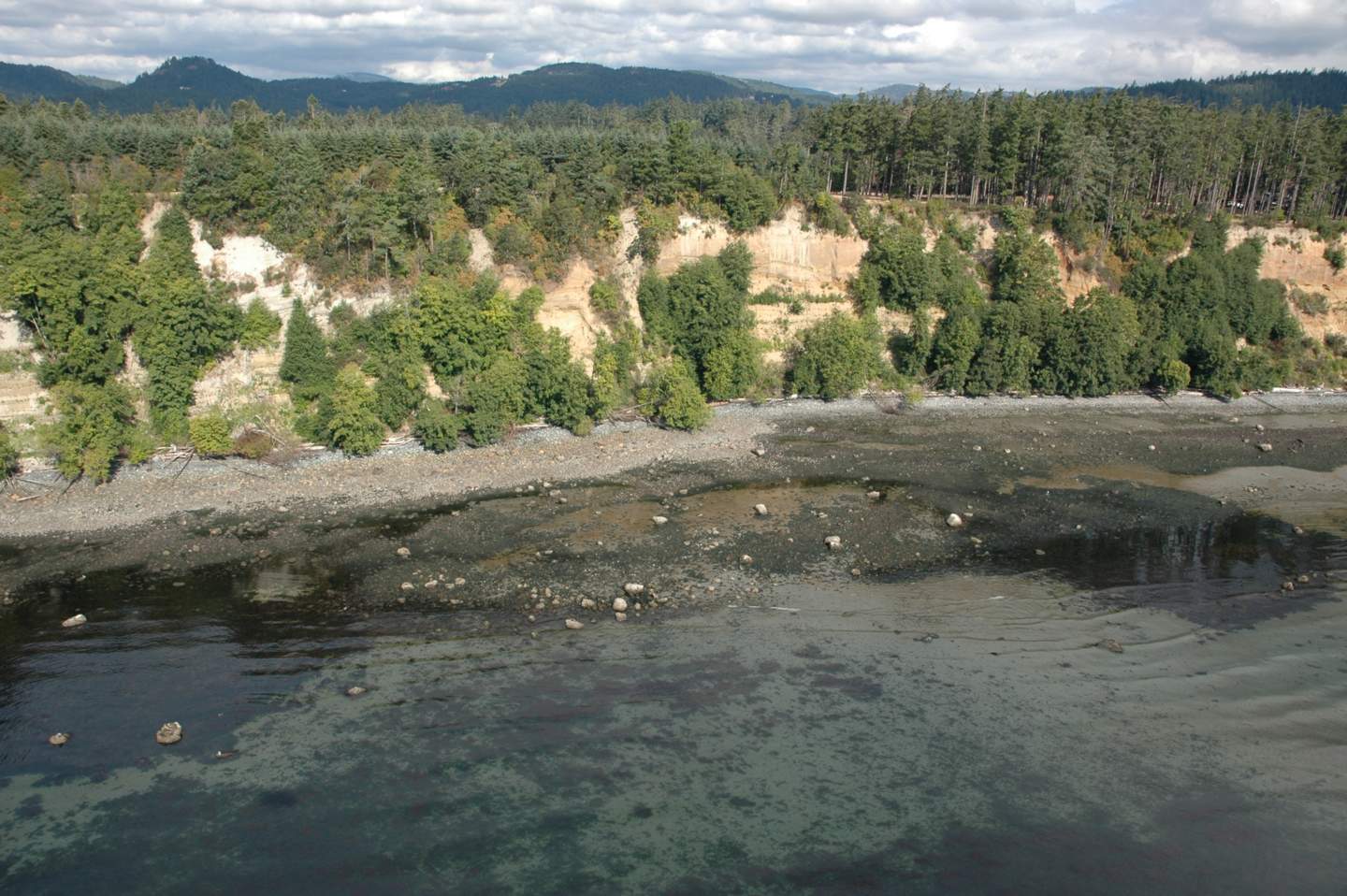
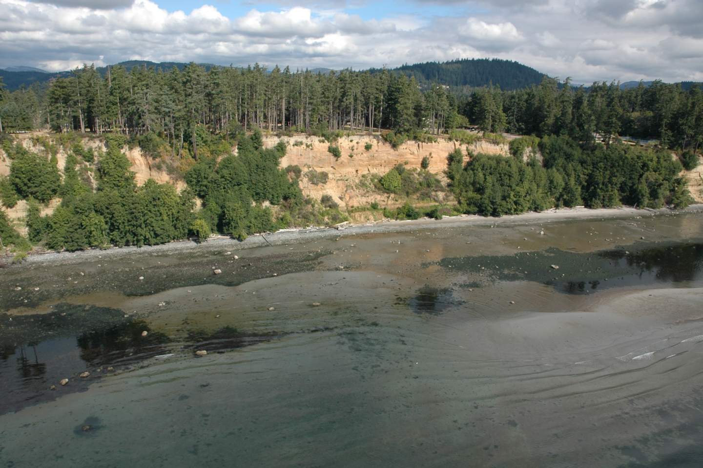
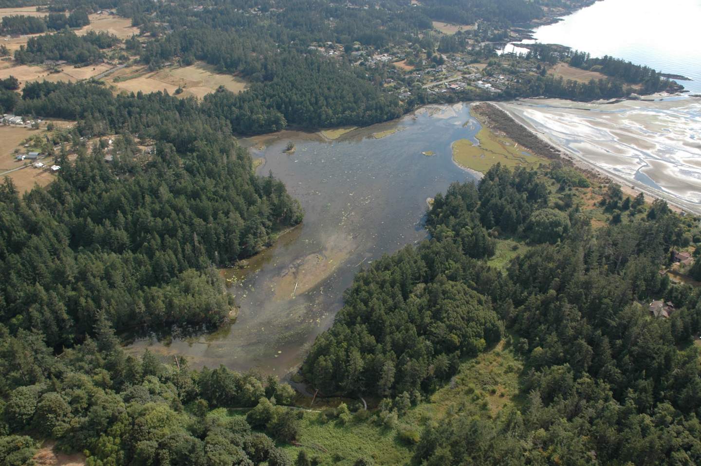
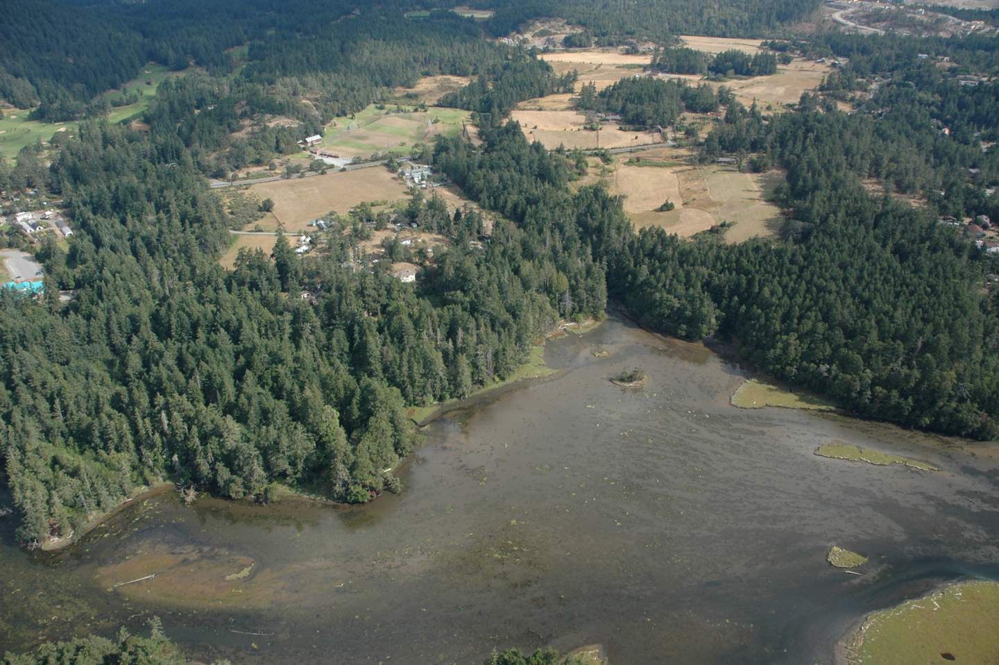
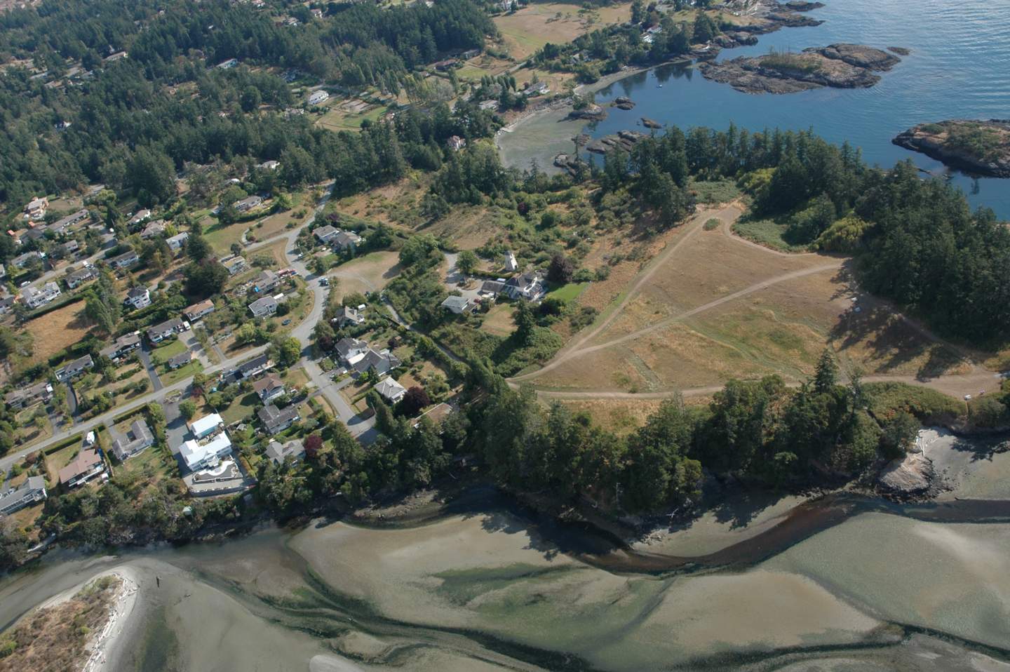
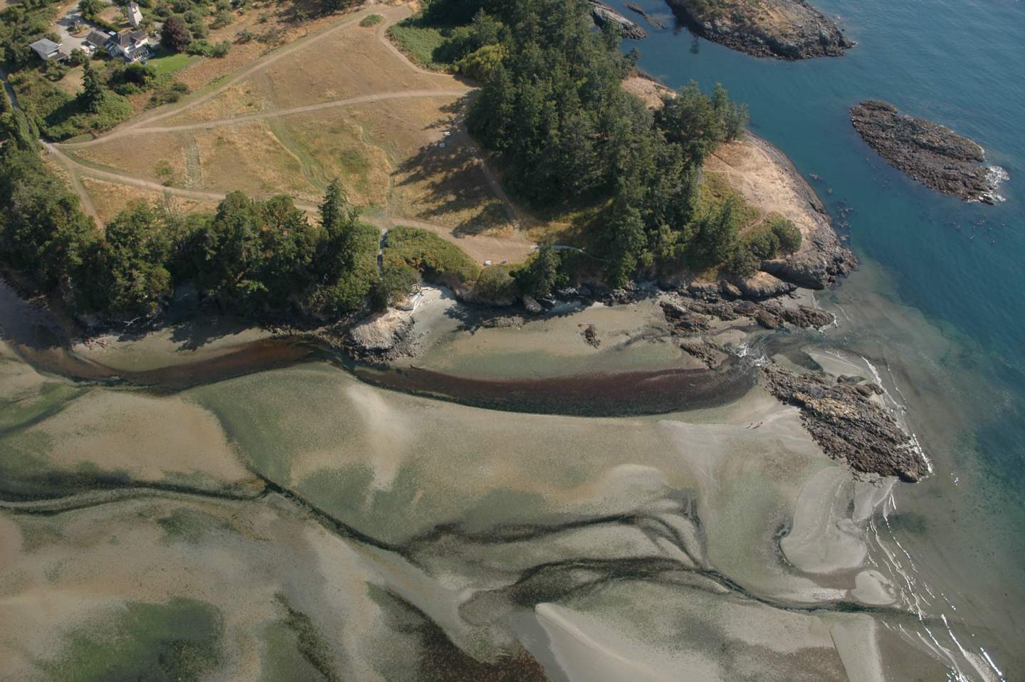
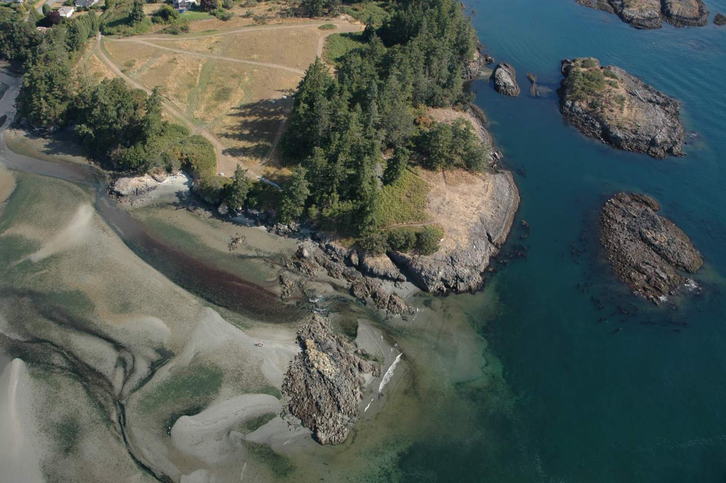
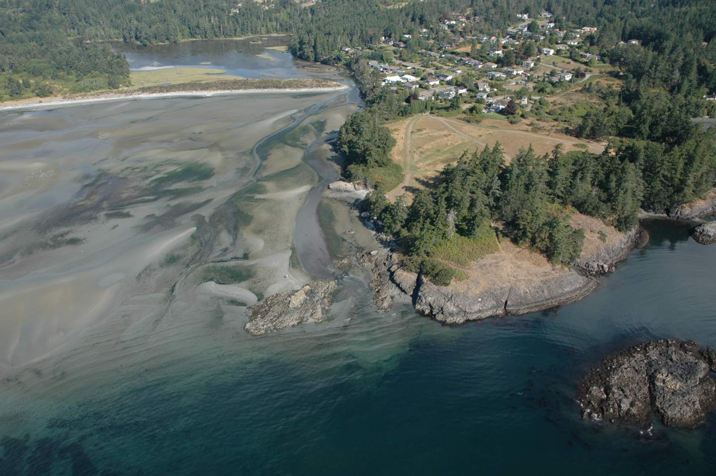
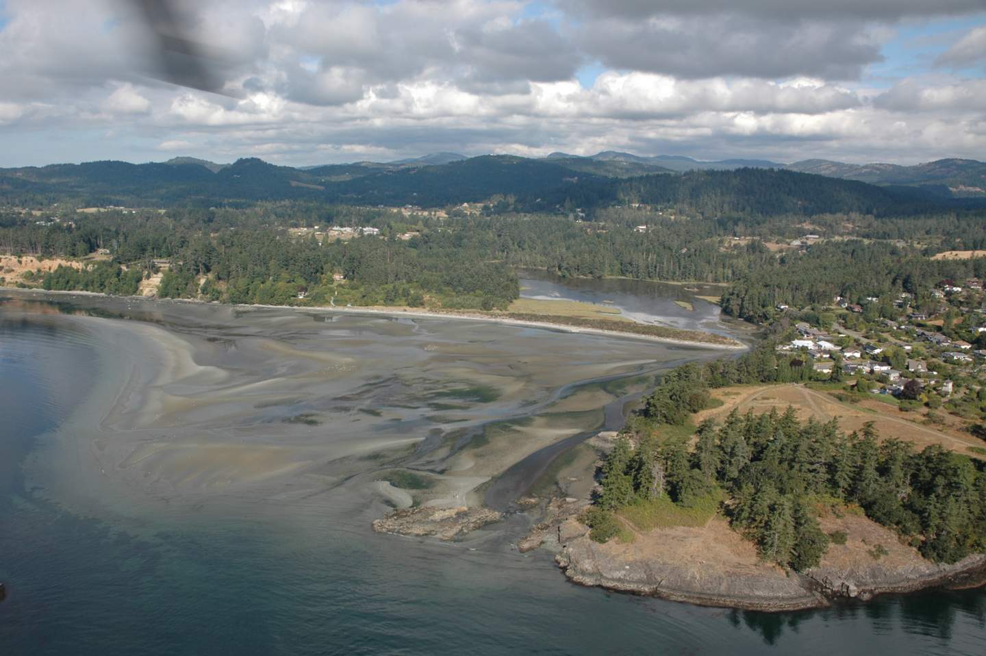
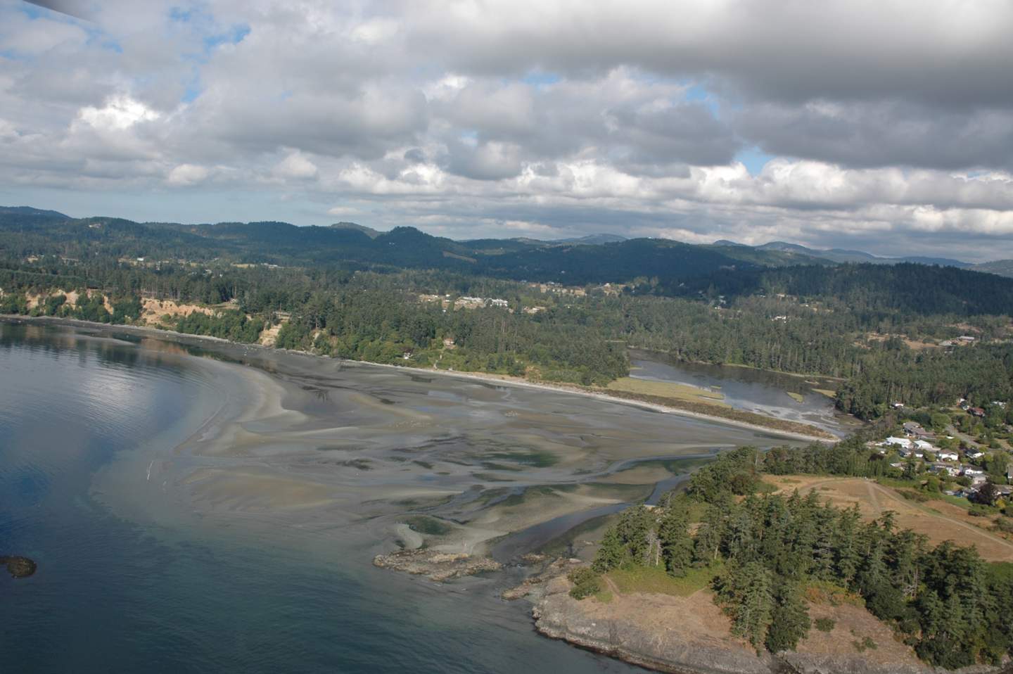
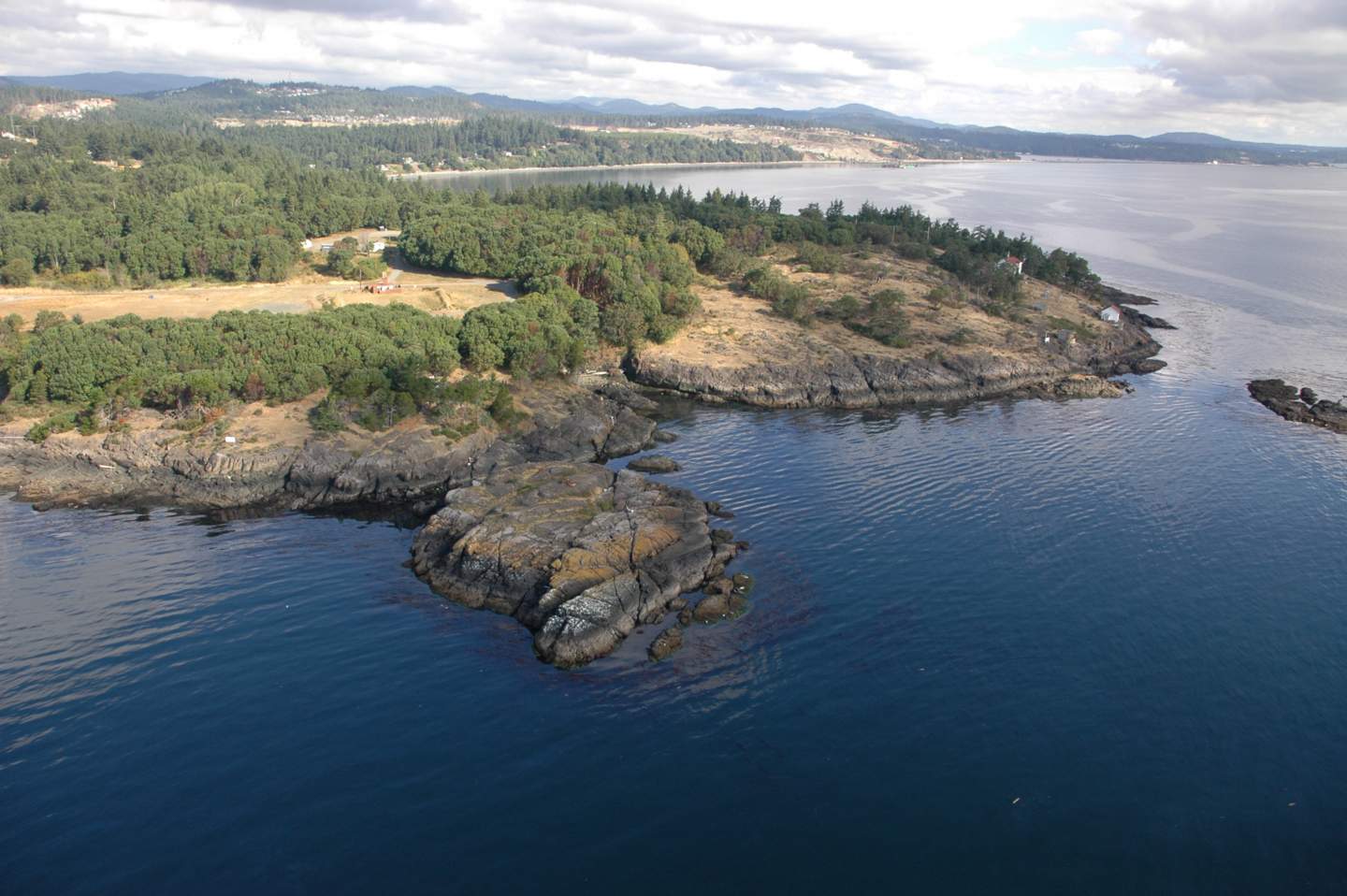
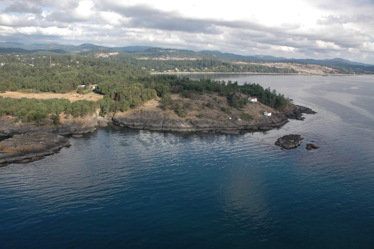
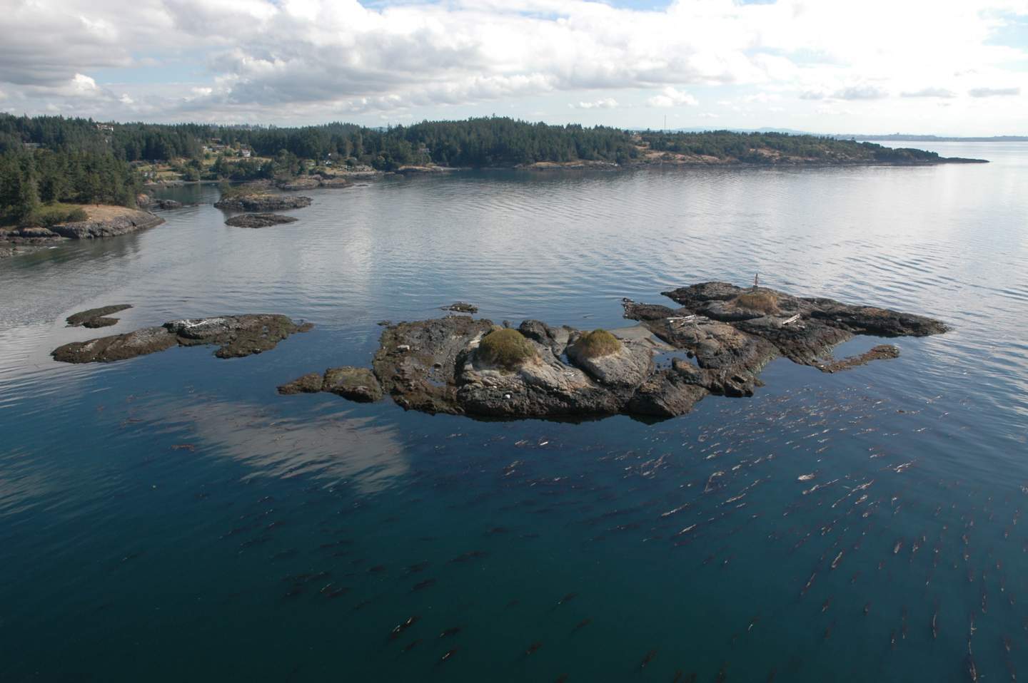
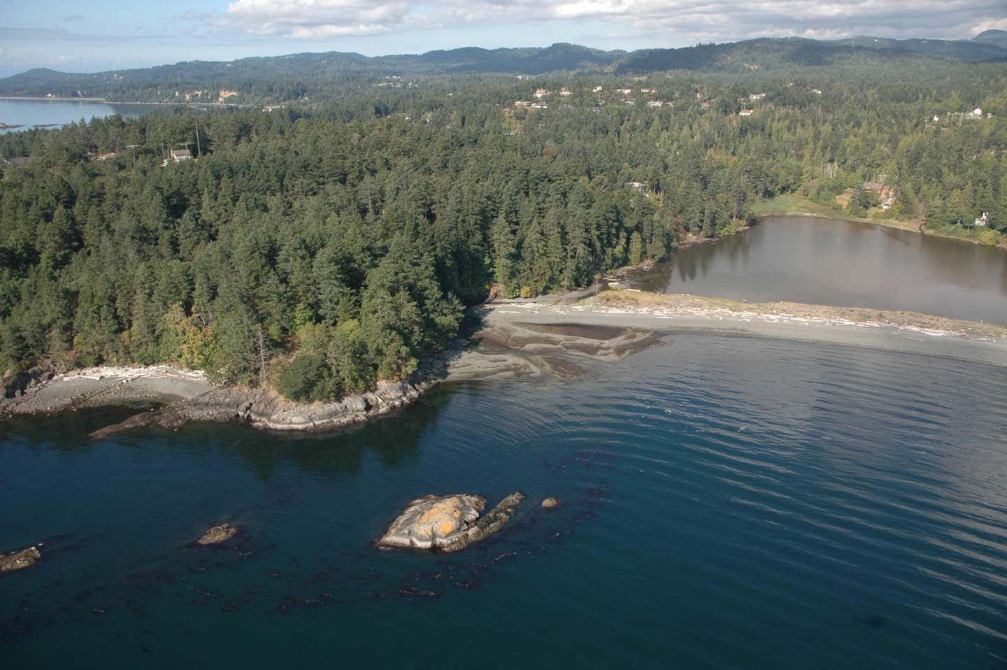
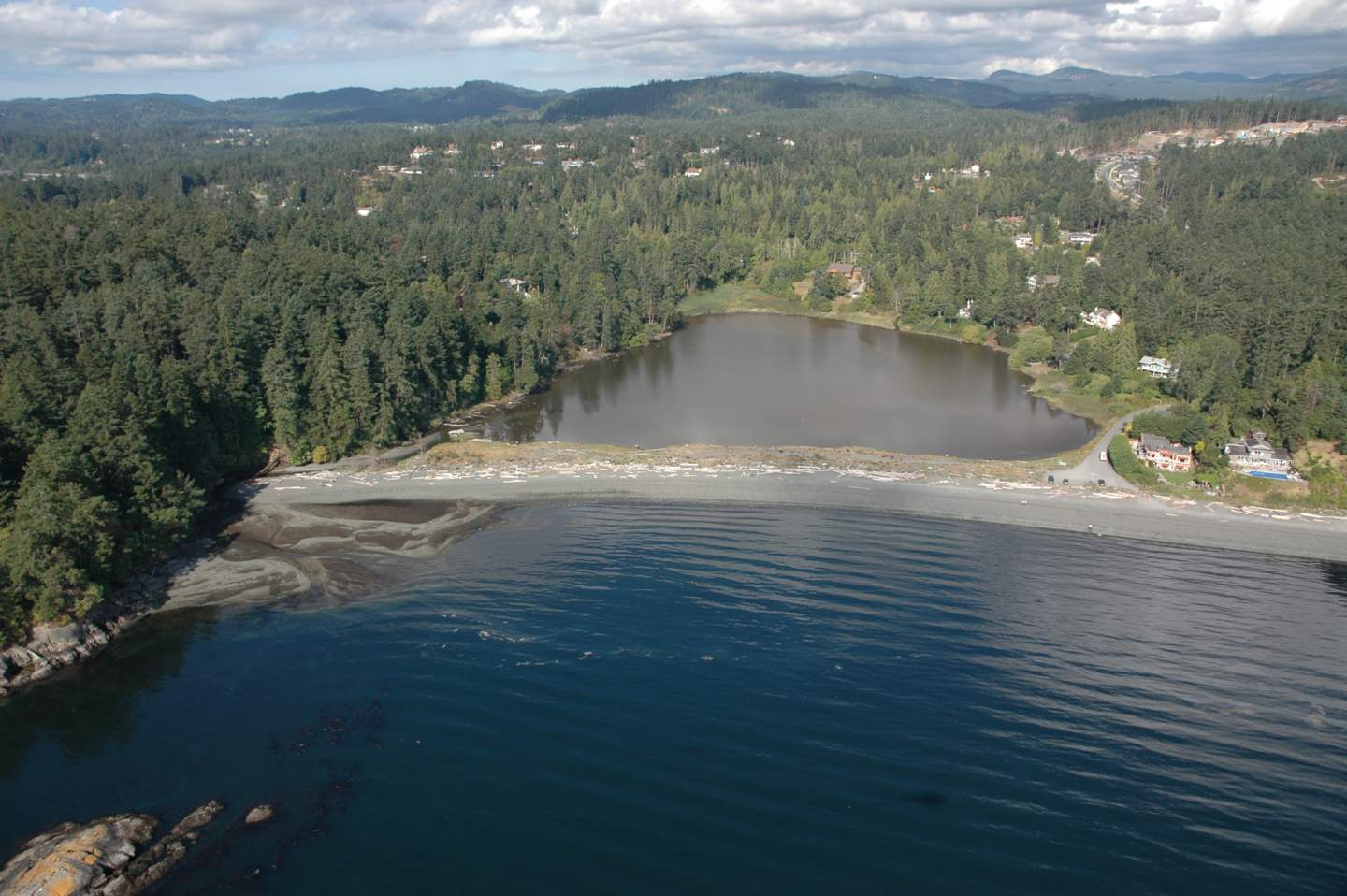
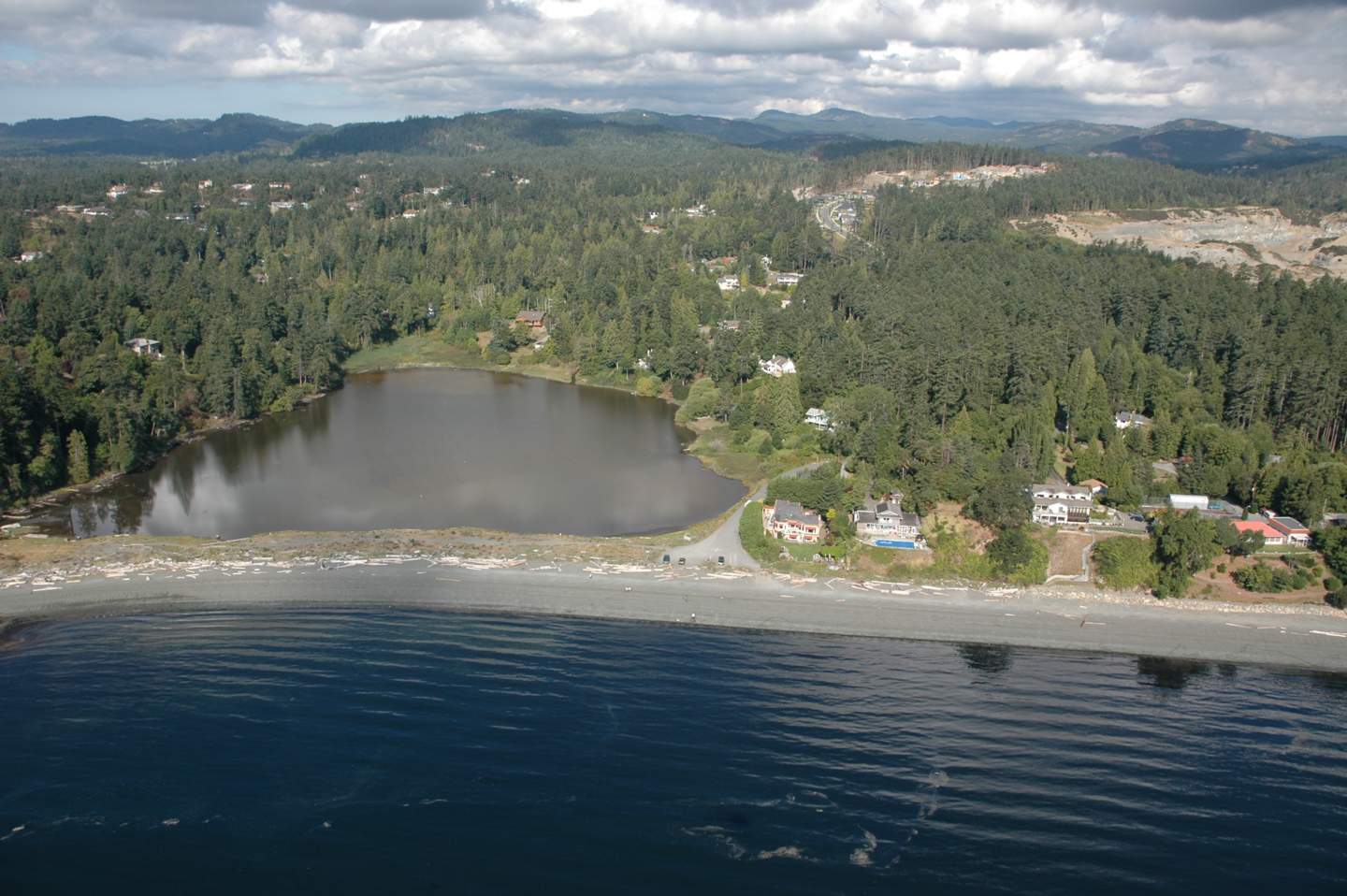
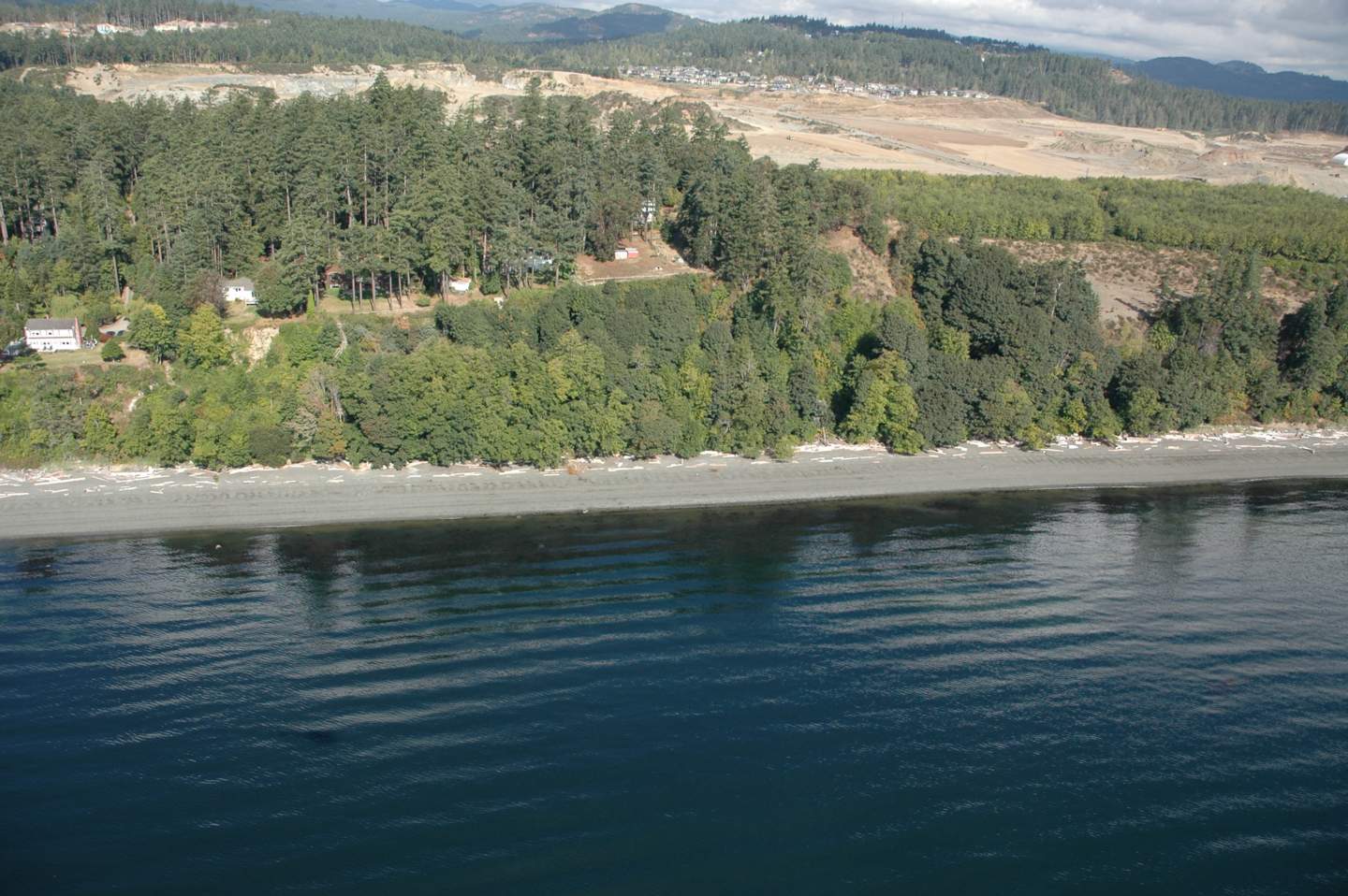
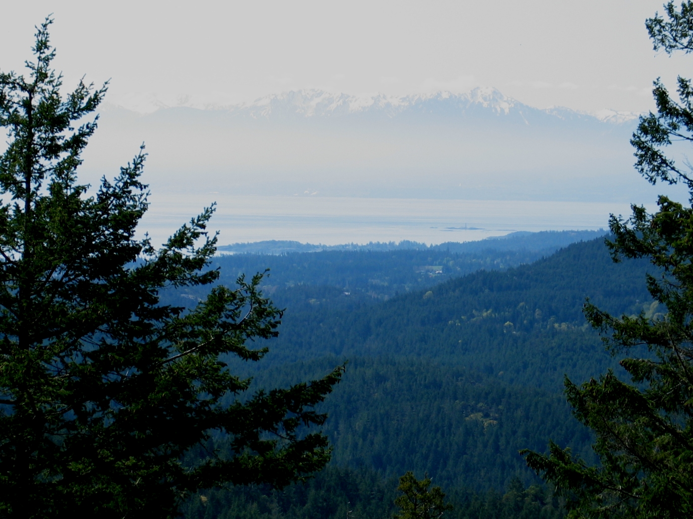
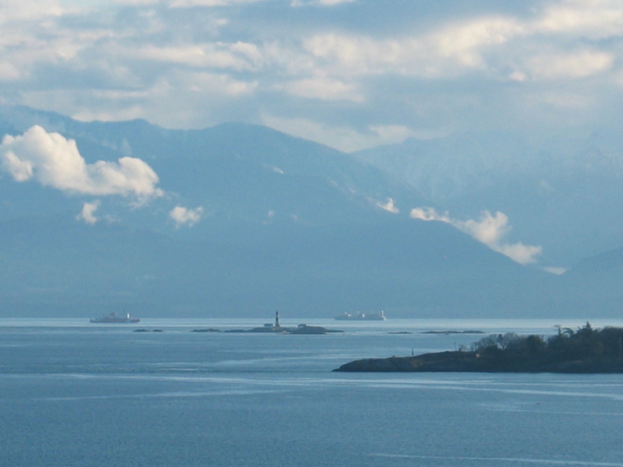
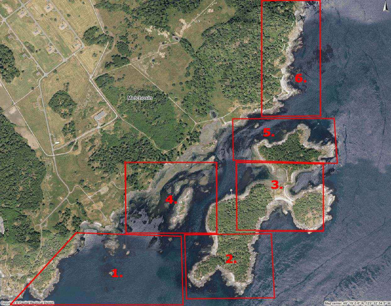
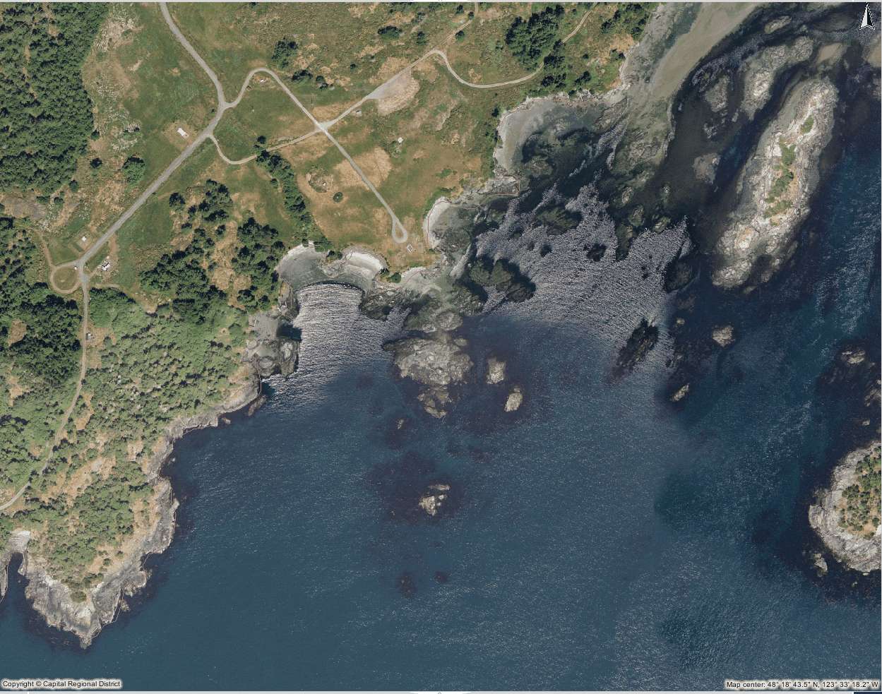
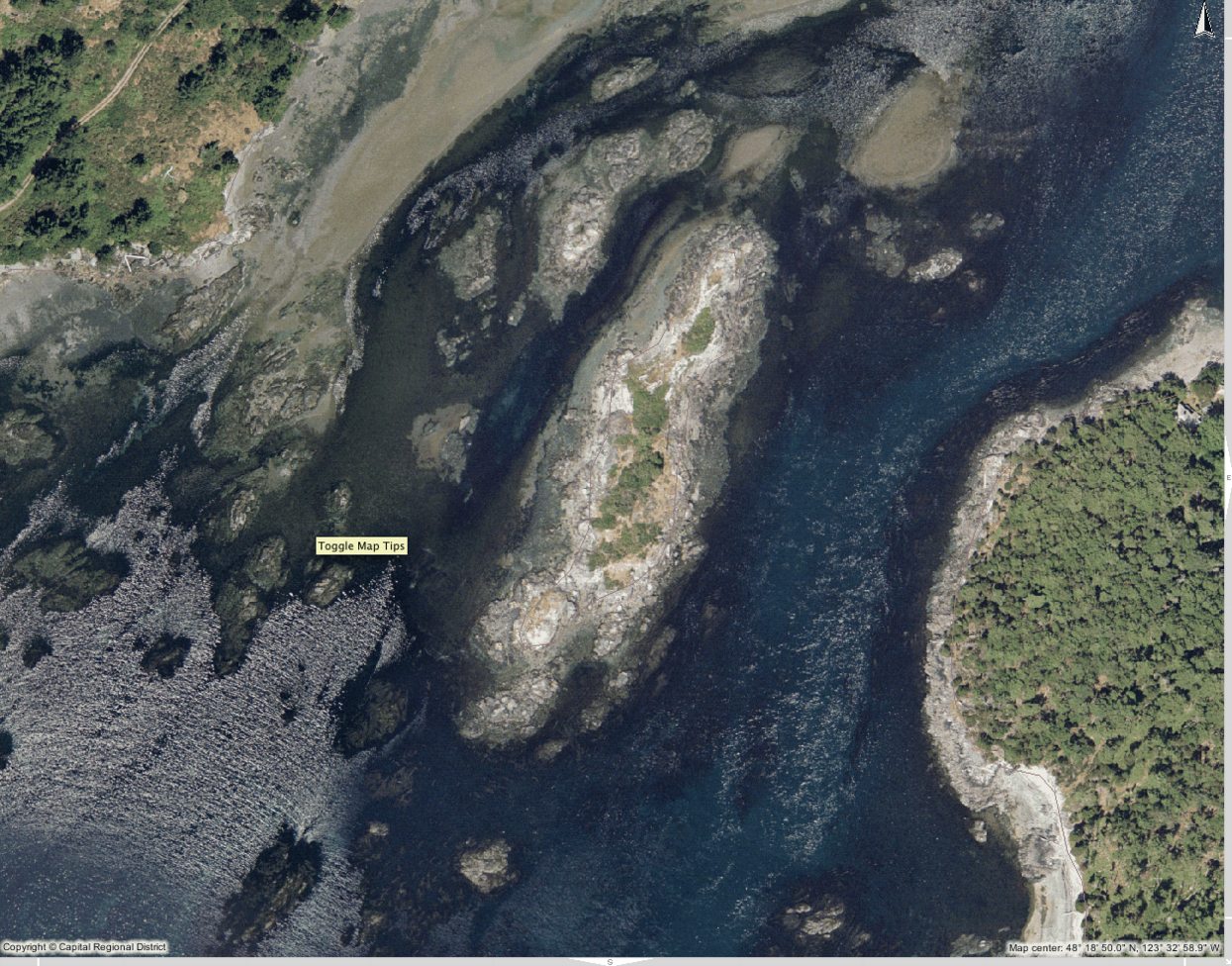
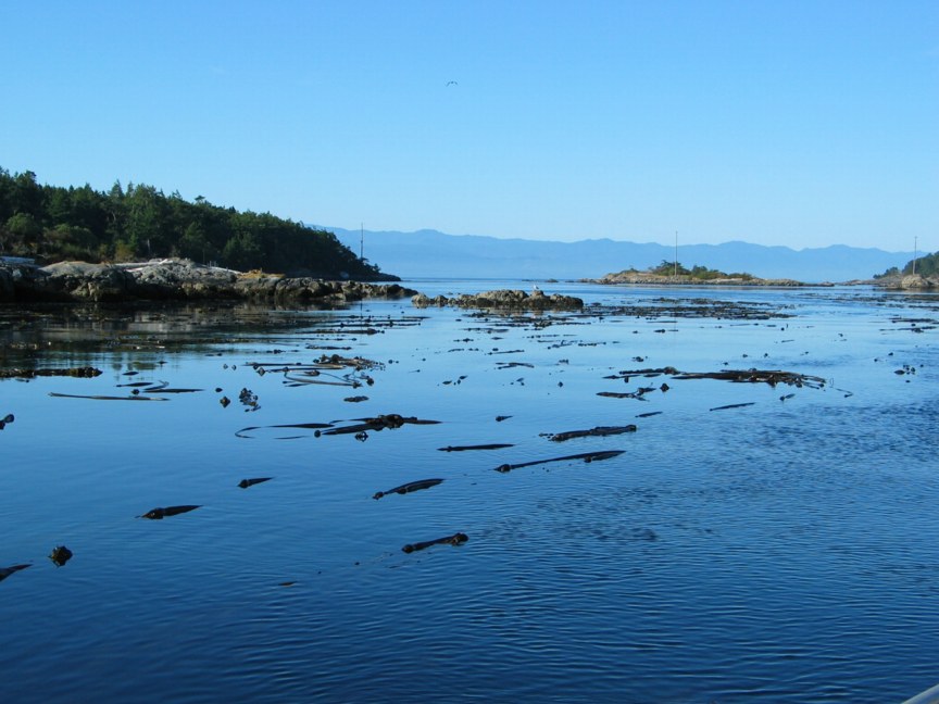
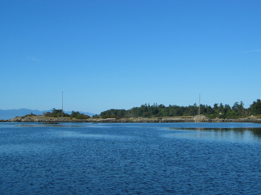
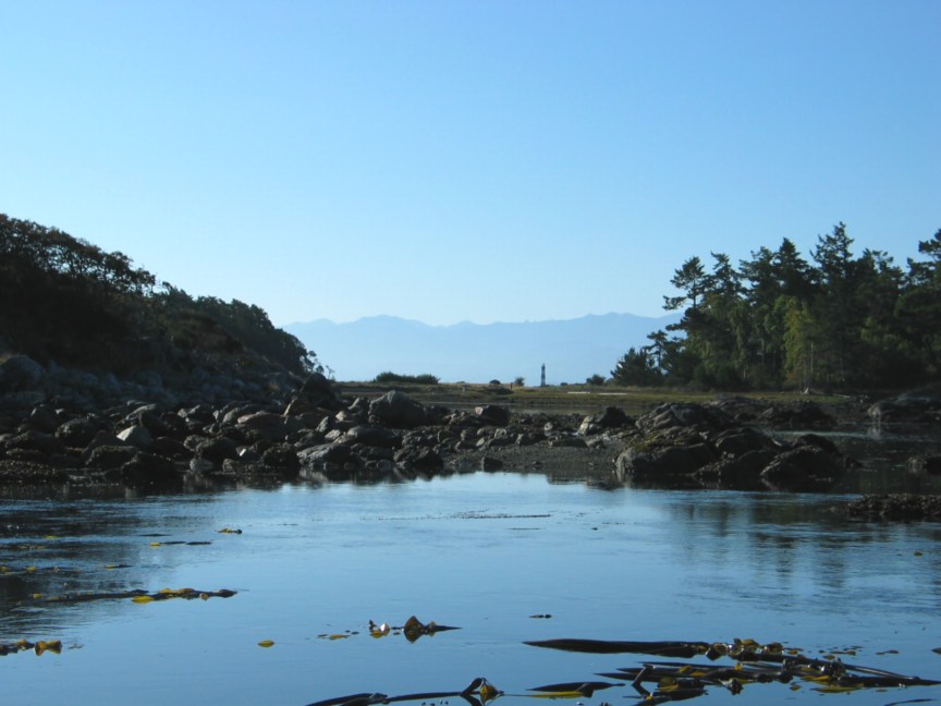
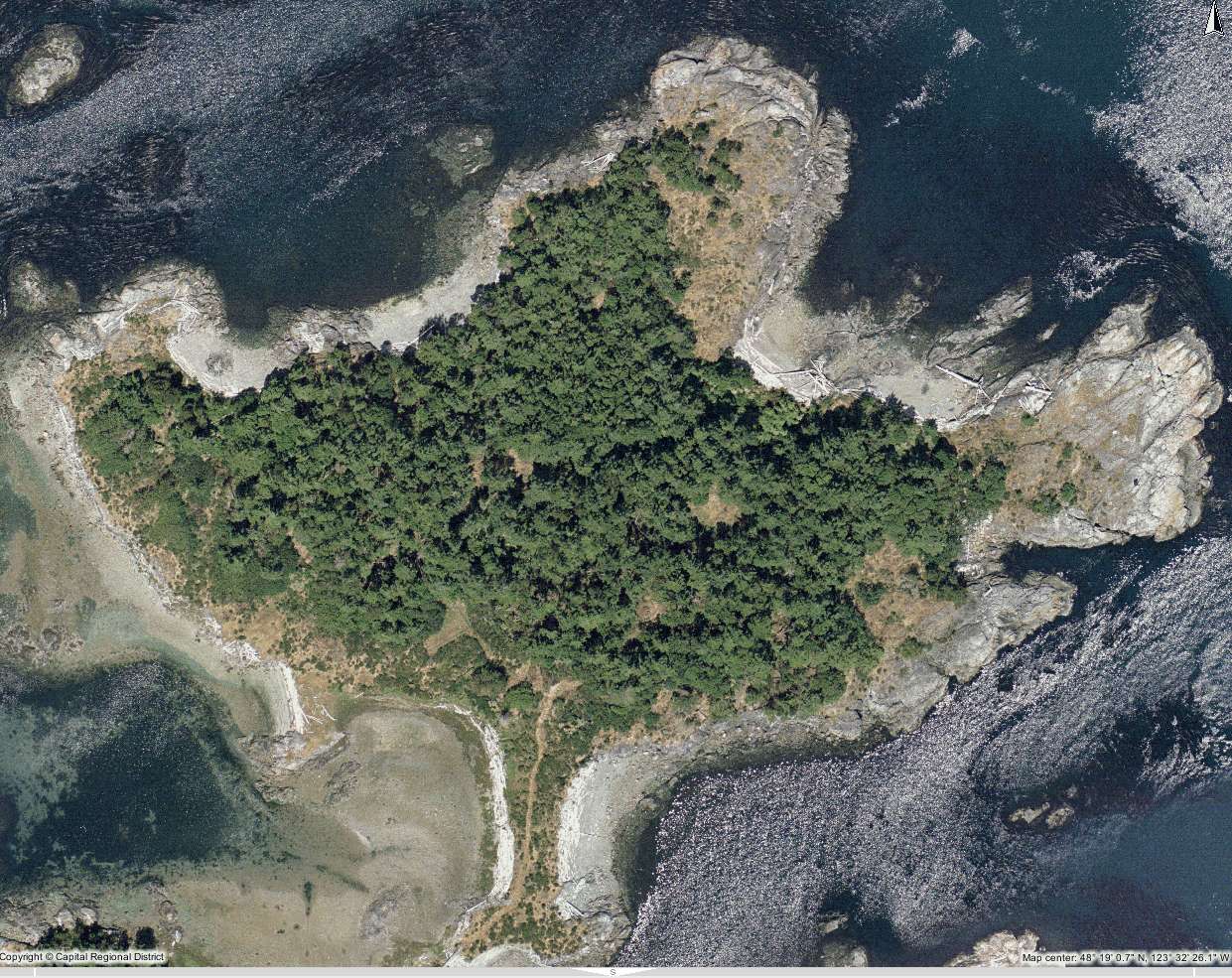
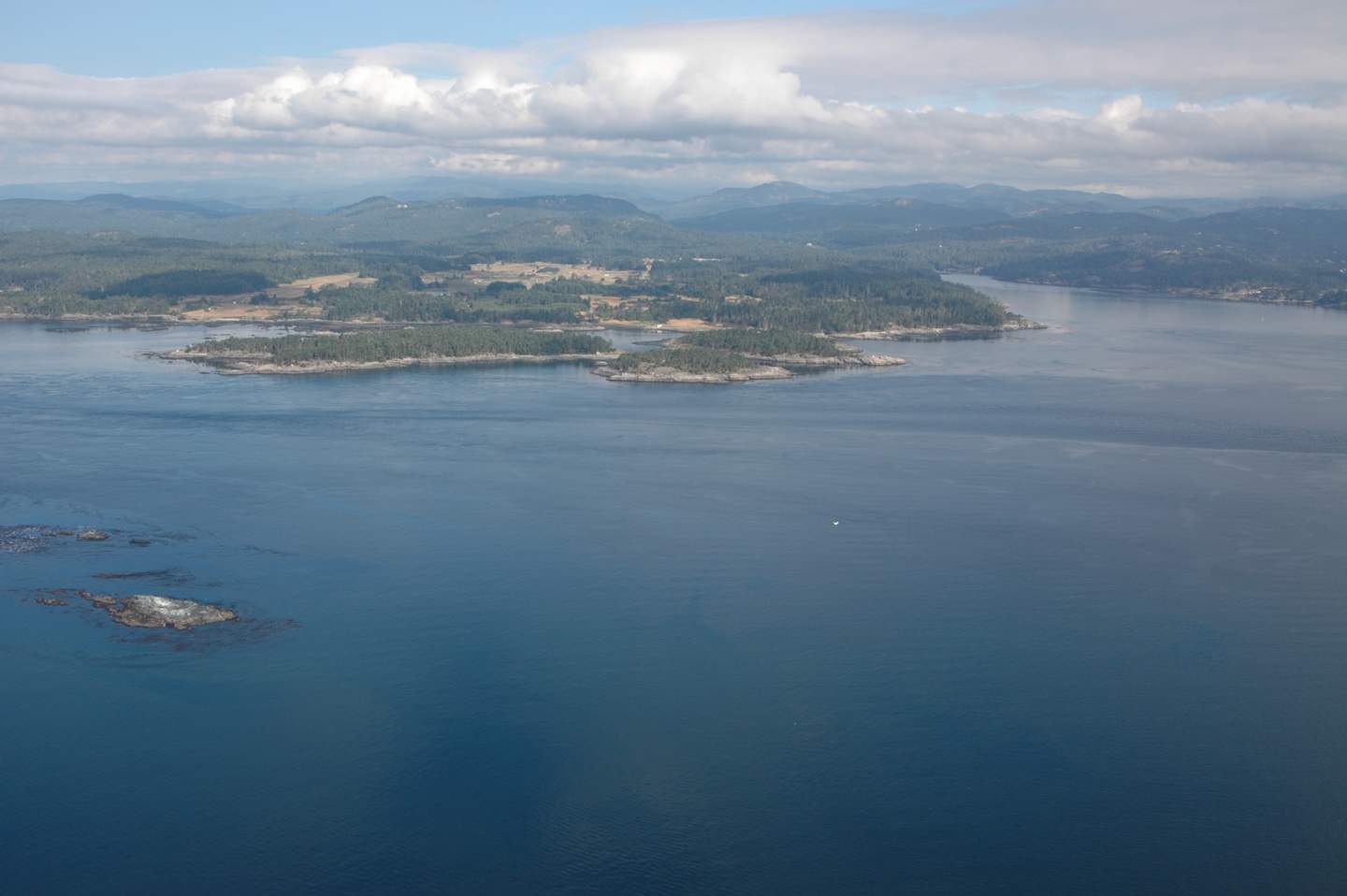
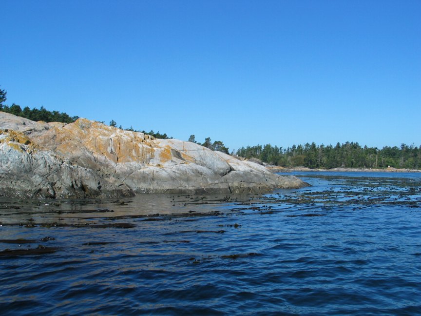
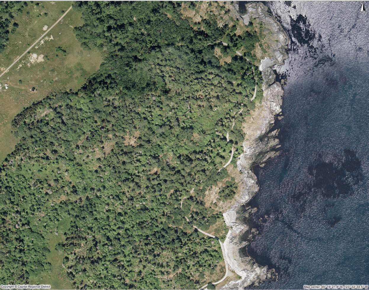
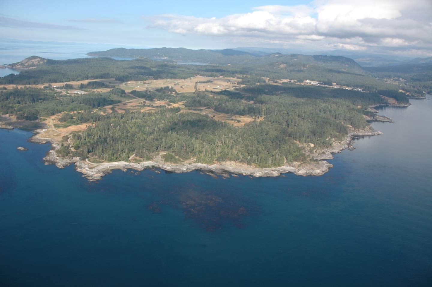
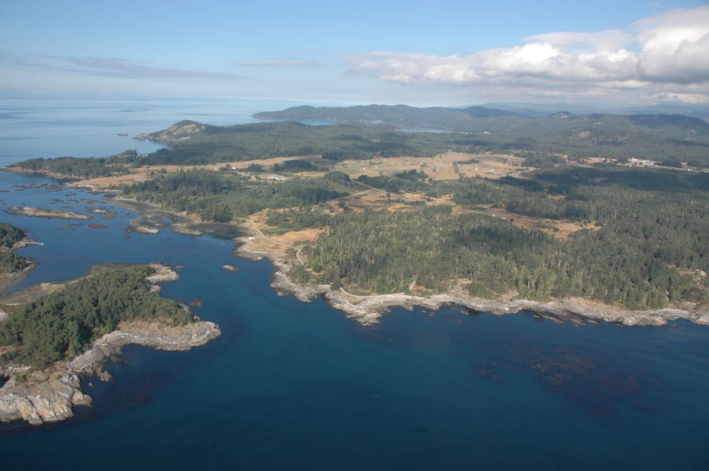
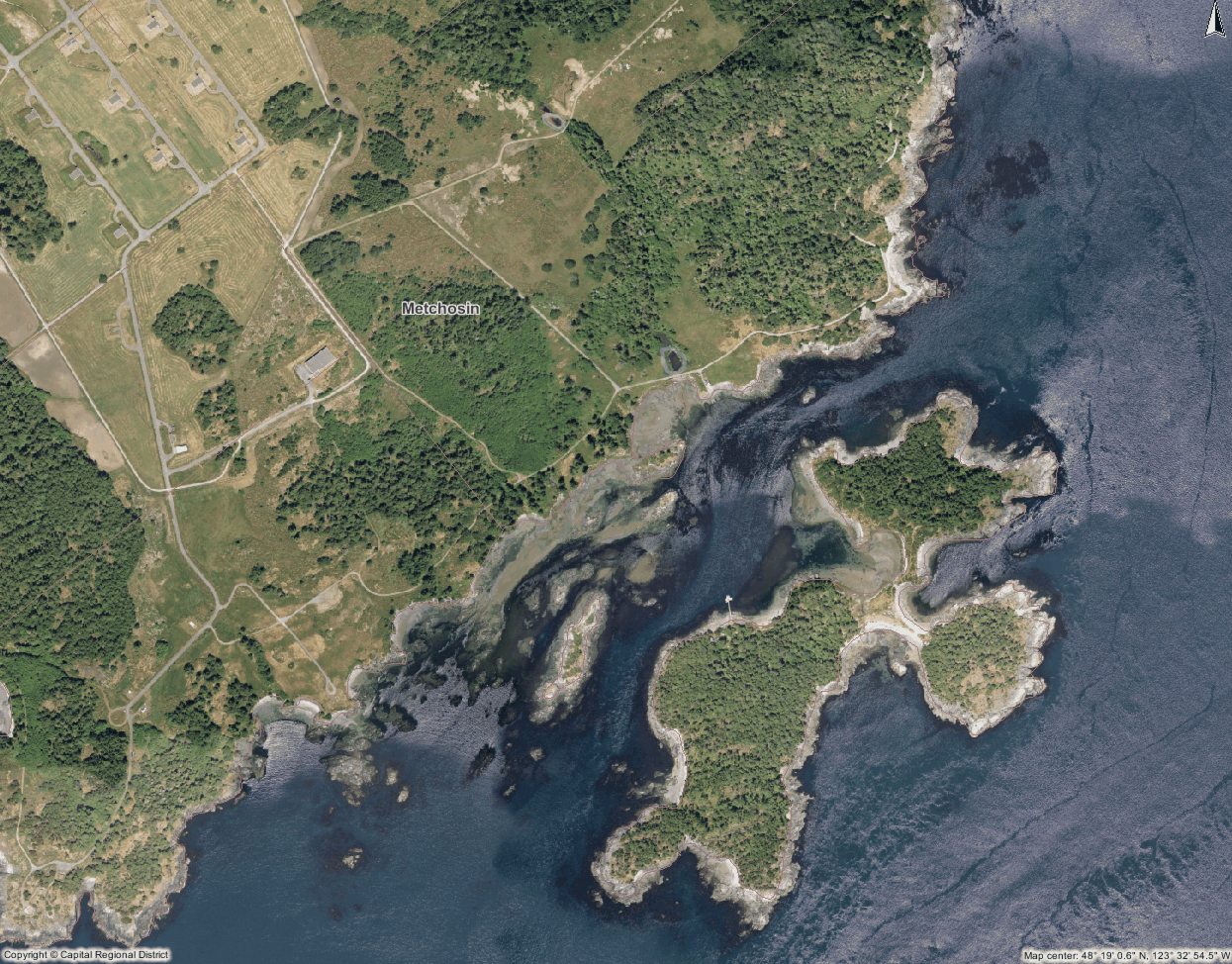
The items below might have a relevance for Metchosin’s coastal areas.

These include: gas regulation (e.g. maintaining a balanced chemical composition in the atmosphere), climate regulation (e.g. control of global temperature, precipitation, greenhouse gas regulation, cloud formation)
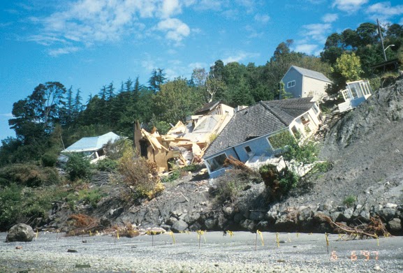
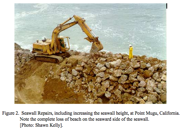
disturbance regulation (e.g. storm protection, flood control, drought recovery),
water regulation (e.g. regulation of global, regional and local scale hydrology through currents and tides),
water supply (e.g. storage of water returned to land as precipitation),
erosion and sediment transport/deposition (e.g. moving sediments from source areas and replenishing depositional areas),
nutrient cycling e.g. the storage, internal cycling, processing and acquisition of nutrients, nitrogen fixation, phosphorus cycles),
waste treatment (e.g. the breakdown of excess xenic and toxic compounds),
biological control (e.g. the trophic-dynamic regulation of populations),
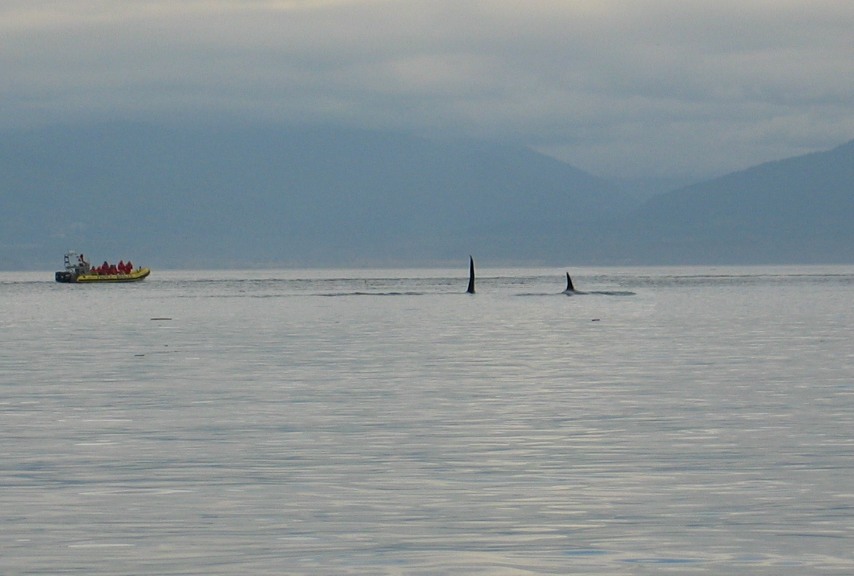
refugia (e.g. feeding and nursery habitats for resident and transient populations of harvested species),
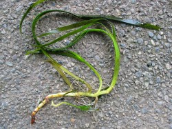
food production (e.g. the portion of gross primary production which is extracted as food for humans),
raw materials (e.g. the portion of gross primary production which is extracted as fuel or building material),
genetic resources(e.g. sources of unique biological materials for medicines),
recreation (e.g. opportunities for tourism, sport and other outdoor pastimes) and cultural (e.g. opportunities for aesthetic, artistic, educational, spiritual activities).

The value (the theoretical cost of artificially replacing the services were they not to be provided by nature) to humanity of these ecosystem services has been estimated at $8400 billion per year for the open oceans and 1.5 times this for coastal ecosystems. Consumptive use (production of food and raw materials) is a minor (<5%) component and therefore the true value of marine ecosystems is in non- consumptive use. However quantifying such use is notoriously hard.

Adapted from the reference:
The structure and function of ecological systems in relation to property right regimes. In: Hanna, S., Folke, C., Maler, K.G. (Eds.), Rights to Nature. Island Press, Washington, DC, pp. 13 34. Authority. Research Publication No. 35, Townsville, Australia, pp. 83.   ( DOCUMENT ) Author(s) / Editor(s) Costanza, R., Folke, C., 1997.

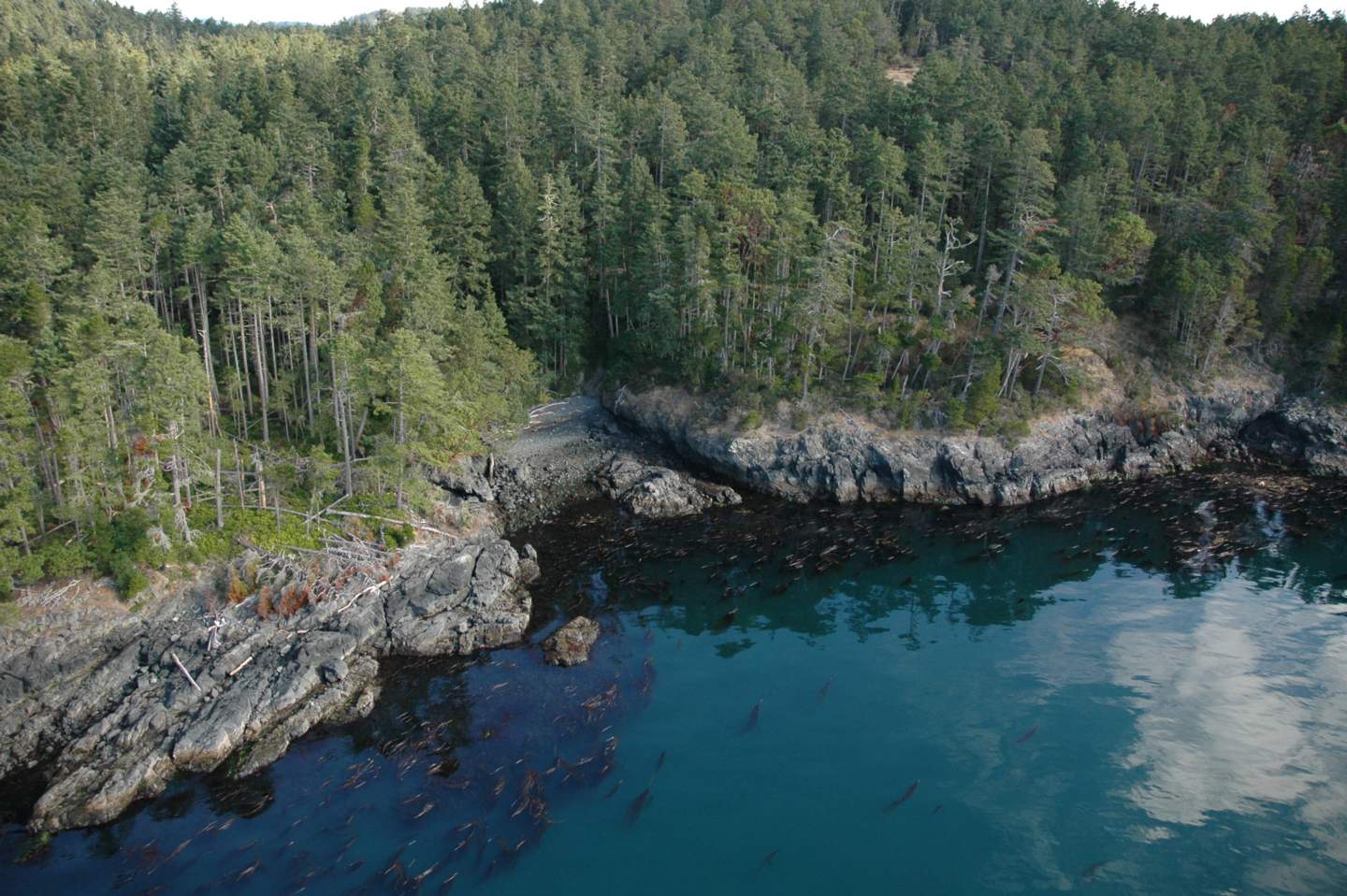
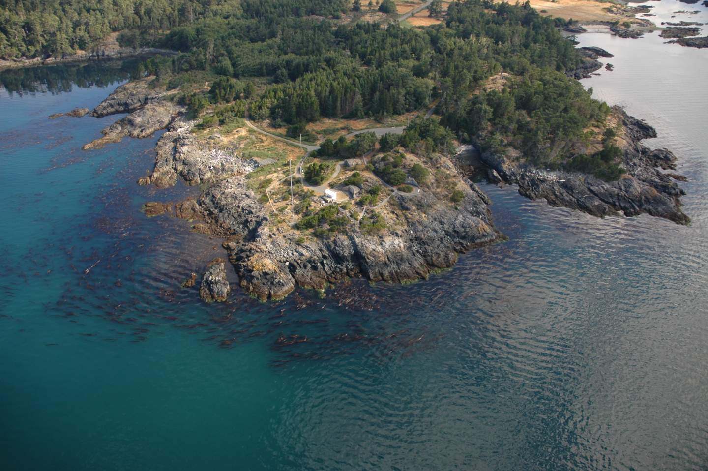
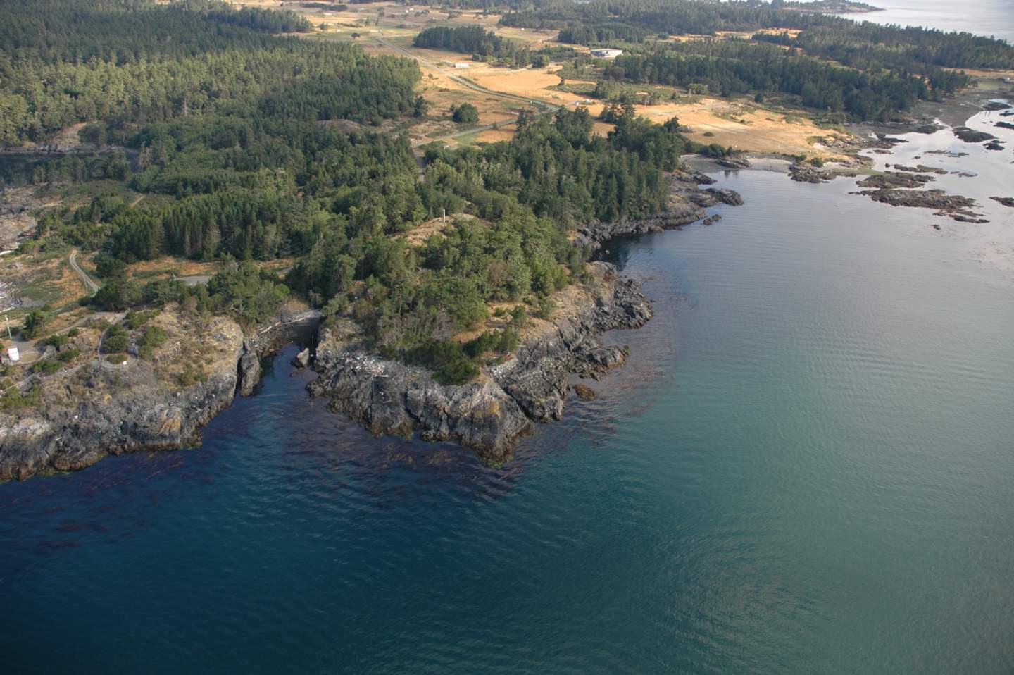
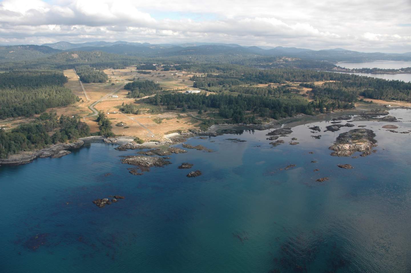
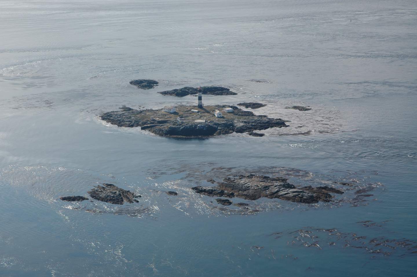
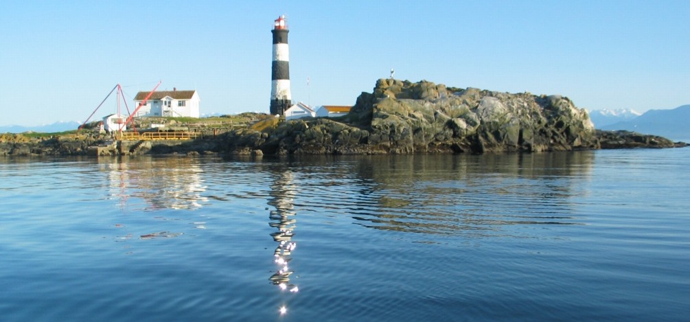
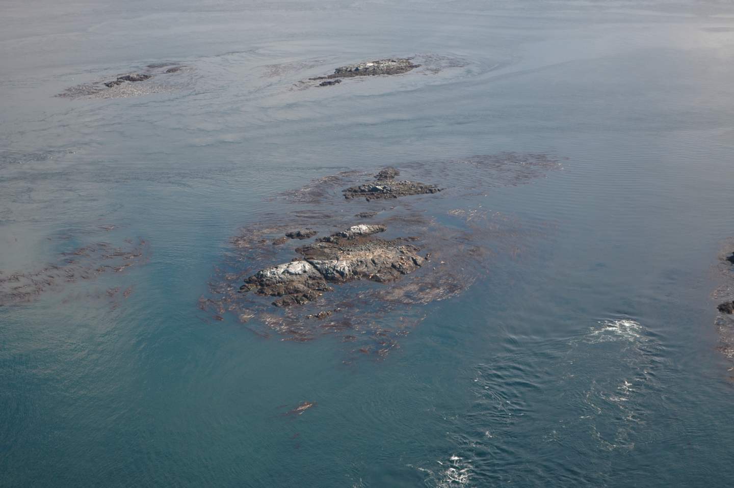
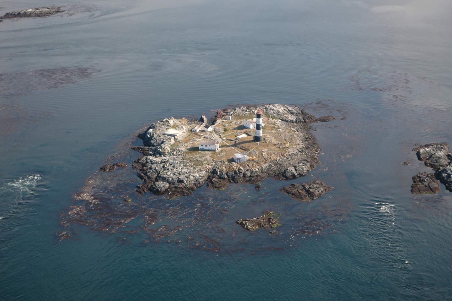
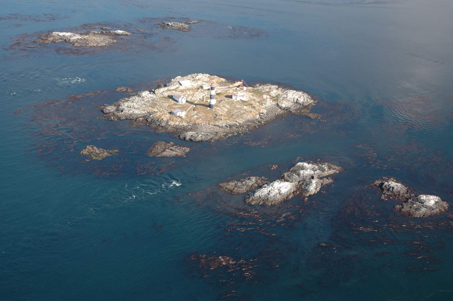
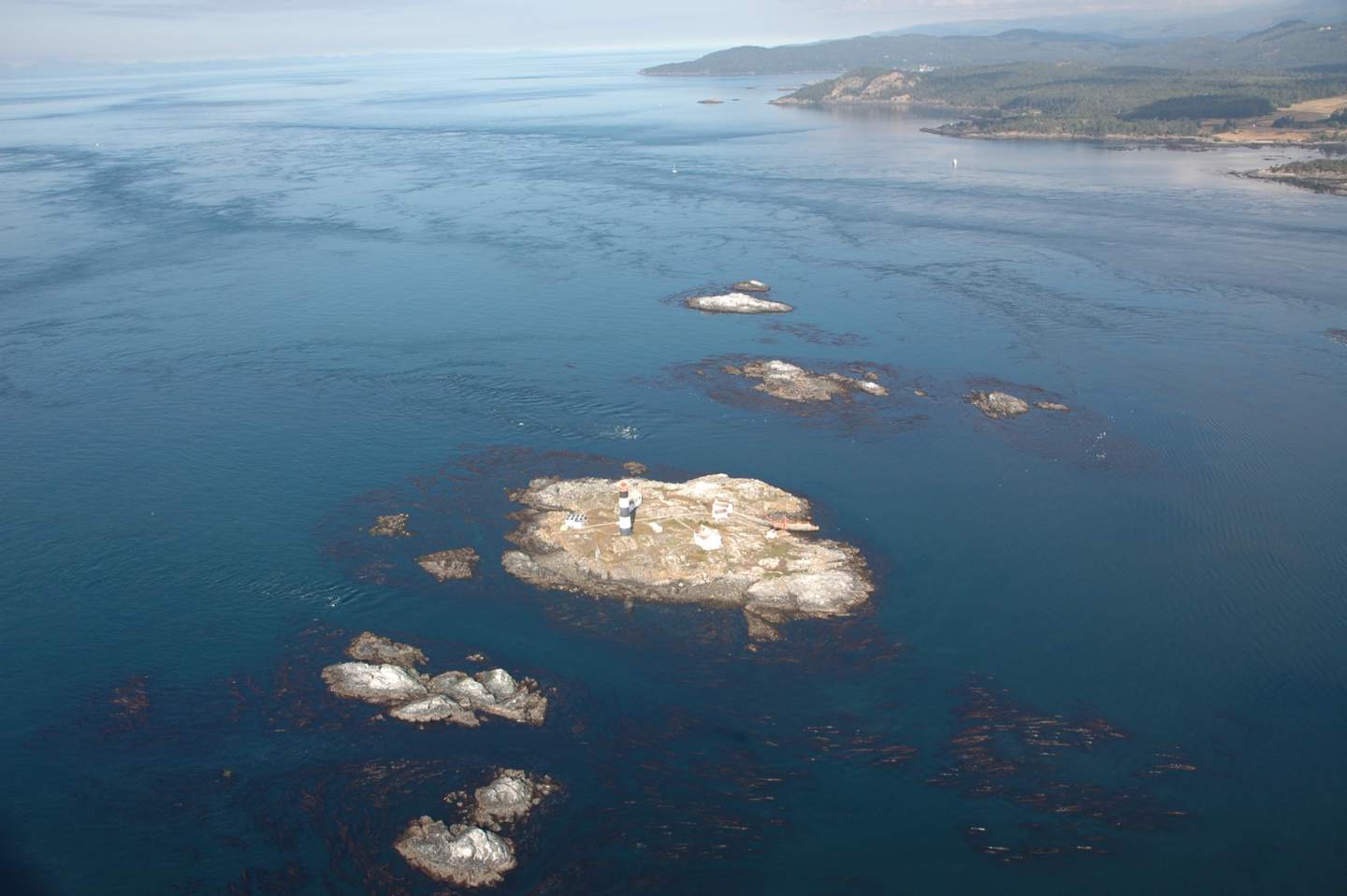
You can have a look at the model proposed for a project at Race Rocks in this link:  DEFINING THE ECOSYSTEM SERVICES of RACE ROCKS.
It is our hope that while you are helping us to assemble the values of these Ecosystem services for Metchosin’s  you may be motivated to look in your own back yard and start placing a more realistic value on your own Ecosystems’ Services. ” Even today’s technology and knowledge can reduce considerably the human impact on ecosystems. They are unlikely to be deployed fully, however, until ecosystem services cease to be perceived as free and limitless, and their full value is taken into account.”

OTHER REFERENCES ON THIS TOPIC:

Patterns of a Conservation Economy: True Cost Pricing
http://www.conservationeconomy.net/natural_capital.html

Ecosystem Services:
http://www.conservationeconomy.net/ecosystem_services.html

Ecosystem Services: Benefits Supplied to Human Societies by Natural Ecosystems
http://www.ecology.org/biod/value/EcosystemServices.html

Millennium Ecosystem Assessments of the World Health organization
http://www.millenniumassessment.org//en/index.aspx

How ecosystem services relate to one another
http://www.ecosystemservicesproject.org/html/publications/docs/nair/chap7.pdf

Ethical Considerations in On-Ground Applications of the Ecosystem Services Concept, www.biosciencemag.org  1020 BioScience • December 2012 / Vol. 62 No. 12

http://ires.sites.olt.ubc.ca/files/2012/12/Luck-et-al-2012-BioSci-ethical-considerns-of-on-ground-ES-applicns.pdf

Ecosystem Services – Case studies from Australia
http://www.ecosystemservicesproject.org/index.htm

Securing Canada’s Natural Capital:
http://www.nrtee-trnee.ca/eng/publications/securing-canadas-natural-capital/securing-canadas-natural-capital-eng.pdf

Natural Capital:

http://www.conservationeconomy.net/content.cfm?PatternID=17

RESULTS OF NATIONAL SURVEY ON ECOLOGICAL GOODS AND SERVICES
http://www.maweb.org/documents/document.300.aspx.pdf

References specializing in Marine Ecosystem Services:

Aquatic ecosystems provide many services contributing to human well-being . Maintenance of the integrity and
the restoration of these ecosystems are vital for services such as water replenishment and purification, flood and drought control.

1. Other reference Ecosystem Services: The Role of Natural Capital
A piece that defines the ecosystem services of Race Rocks

2. ECOSYSTEM SERVICES: Benefits Supplied to Human Societies by Natural Ecosystems
http://www.ecology.org/biod/value/EcosystemServices.html

3. The encyclopedia of Earth: Marine ecosystem services:
http://www.ecology.org/biod/value/EcosystemServices.html

4. Assessing the Non-Market Values of Ecosystem Services provided by Coastal and Marine Systems http://www.ecotrust.org/katoomba/presentations/Marine_Coastal_Presentations
/NonMarket_Values_Coastal_Marine_Ecosystems_Matthew_Wilson_Shuang_Liu.pdf

5. Economic Valuation of Ecosystem Services
http://judylumb.com/eco-services.html

  • “It is most important to raise consciousness of the general public and of public officials and managers of the value of ecosystem services. Here are some ways that individual friends might choose.
    1)    Educate ourselves about ecosystem services.
    2)    Monitor local news for issues that impact ecosystem services to point out areas of public concern when ecosystem services are destroyed or disregarded.
    3)    Speak truth to power — communicate with local officials and congressional representatives about the implications of their decisions on ecosystem services.
    4)    Hold agencies to the environmental and public input requirements of the laws.
    5)    Make certain that preservation of ecosystem services is among the options presented.
    6)    Write letters to the editor to educate the public about ecosystem services”

6: Millennium Ecosystem assessment panel: Ecosystems and Human Well: being wetlands and water.
http://www.maweb.org/documents/document.358.aspx.pdf

7.The Ecosystem Services Project http://www.ecosystemservicesproject.org/

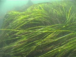
8. Global Warming — Blue Carbon.. A Sierra Club resouce on the value of seagrasses and salt marshes as 50 times more efficient Carbon fixers than forests.

Seagrass Meadows along Metchosin’s Coastline

There are several areas along Metchosin’s coastline where there are beds of the two species of sea grasses.

zosteraEelgrass : Zostera marina: http://www.racerocks.com/racerock/eco/taxalab/2006/zosteram/zosteram.htm

See this map, for locations of eel grass meadows, at #5 (off Taylor Beach) and # 12, (behind Swordfish Island)


phyllospadixSurf Grass: Phyllospadix scouleri : http://www.racerocks.com/racerock/eco/taxalab/phyllospadix.htm
Surf grass is most common on the   West shore of Race Rocks (#11) and Church Island (#12)


The Coastline of Metchosin is not as protected as the inner shores of the Victoria to Sidney area. Eelgrass needs protection and thus is minimally  important in our area as  fish habitat compared to the macro-algal kelp beds.

The following reference details the work done on the mapping of sea grasses in other areas of lower Vancouver island:
From: Island Trust Fund E-News Update March 27, 2013

Why we are mapping eelgrass

Seagrasses form large meadows that serve as nursery habitat and a refuge for juvenile fishes.  The leaves serve as a cornerstone for the marine food web, supplying nutrients to salmonids and other fish, shellfish, waterfowl and about 124 species of faunal invertebrates.

Eelgrass habitats within the Salish Sea provide the basis for the region’s commercial and recreational fisheries revenue.  The productivity of native seagrasses rivals the world’s richest rainforests.Eelgrass habitats capture and store large amounts of carbon at much more efficient rates than terrestrial forests.  Scientists estimate the salt marshes and seagrass meadows of B.C. sequester the equivalent of the emissions of some 200,000 passenger cars.

Contaminates and shoreline development put pressure on fragile eelgrass meadow ecosystems.  To protect eelgrass, we need to know where it is.  We’re mapping eelgrass habitat so that we can better plan our strategies to conserve these valuable underwater ecosystems

New Eelgrass Maps Released

The Islands Trust Fund is mapping nearshore eelgrass habitat in the Strait of Georgia and Howe Sound, in partnership with SeaChange Marine Conservation Society and the Seagrass Conservation Working Group.

Eelgrass Mapping Completed

Additional Technical Reference :
Mapping of Eelgrass (Zostera marina) at Sidney Spit Marine Park, Gulf Islands National Park Reserve Using High Spatial Resolution Remote Imagery: by Jennifer D. O’Neill BSc, University of Victoria, 2006:

ABSTRACT: The main goal of this thesis was to evaluate the use of high spatial remote imagery to map the location and biophysical parameters of eelgrass at Sidney Spit Marine Park, part of the Gulf Islands National Park Reserve. To meet this goal, three objectives were addressed: (1) Define key spectral variables which provide optimum separation between eelgrass and its associated benthic substrates, using in situ hyperspectral measurements, and simulated IKONOS and Landsat 7ETM+ spectral response; (2) evaluate the efficacy of these key variables in classification of the high spatial resolution imagery, AISA and IKONOS, at various levels of processing, to determine the processing methodology which offers the highest eelgrass mapping accuracy; and (3) evaluate the potential of ―value-added classification of two eelgrass biophysical indicators, LAI and epiphyte type.