Rethinking Shoreline Armoring

Given the many occurances of slumping of coastal bluffs in Metchoisn over the past winter, this series provides an excellent analysis reflecting on the effects of human interference in natural shoreline processes and the mitigation efforts being made in Puget Sound.

Rethinking shoreline armoring

Before and after view of shoreline restoration project at Penrose Point State Park in Pierce County, WA.

Salish Sea Currents presents an in-depth series focusing on shoreline armoring in the Puget Sound region. Close to a third of Puget Sound’s shoreline is classified as armored with bulkheads and other structures meant to hold back storm surge and erosion. But new studies reveal the often significant toll this is taking on the environment. To be notified of new Salish Sea Currents stories, subscribe to the Puget Sound Institute eNews.

The Shores of Metchosin Slideshow

This video/slideshow was put together in 2015 when I was doing a presentation in the Metchosin community on the risks to our shorelines from Increased oil tanker traffic from the proposed Kinder Morgan/ Trans Mountain Expansion Project proposal. All pictures were taken on the shores of Metchosin  either by Garry Fletcher, the ecoguardians at Race Rocks, and the aerial shots are from Coastal Ocean Resources.   It might take some time to load initially.

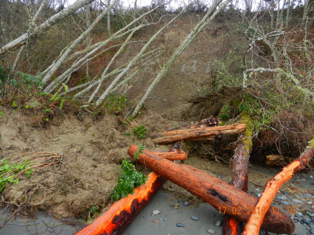
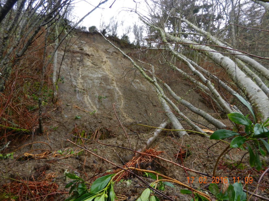
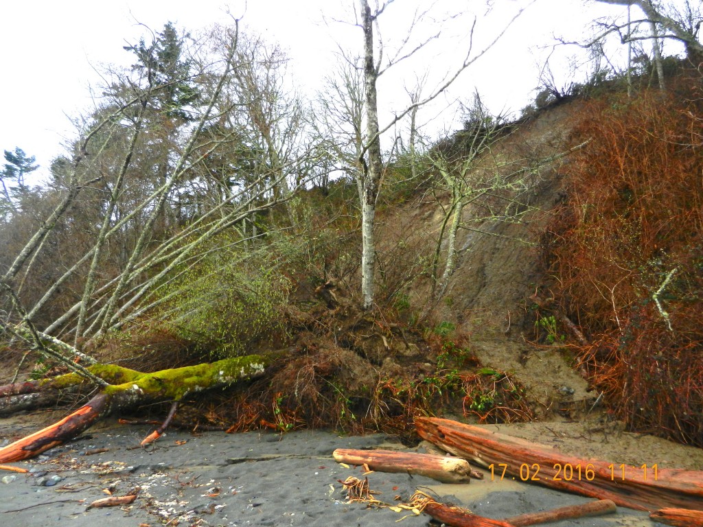
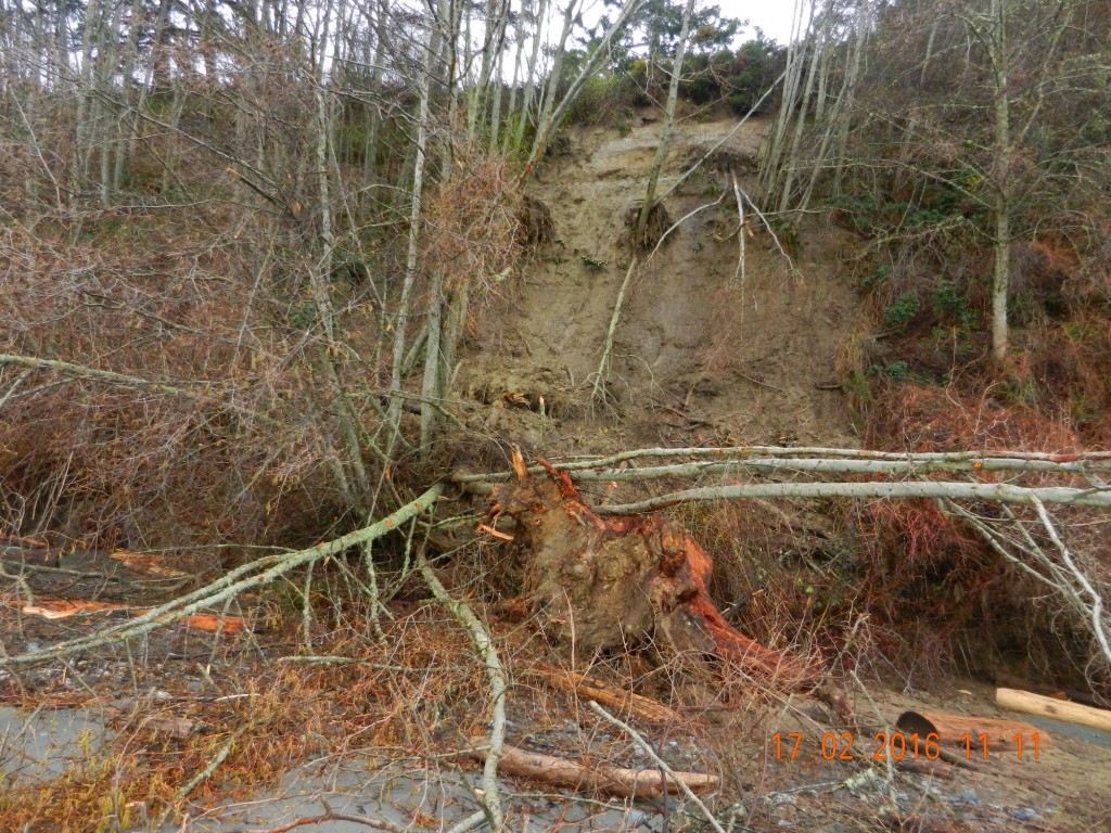
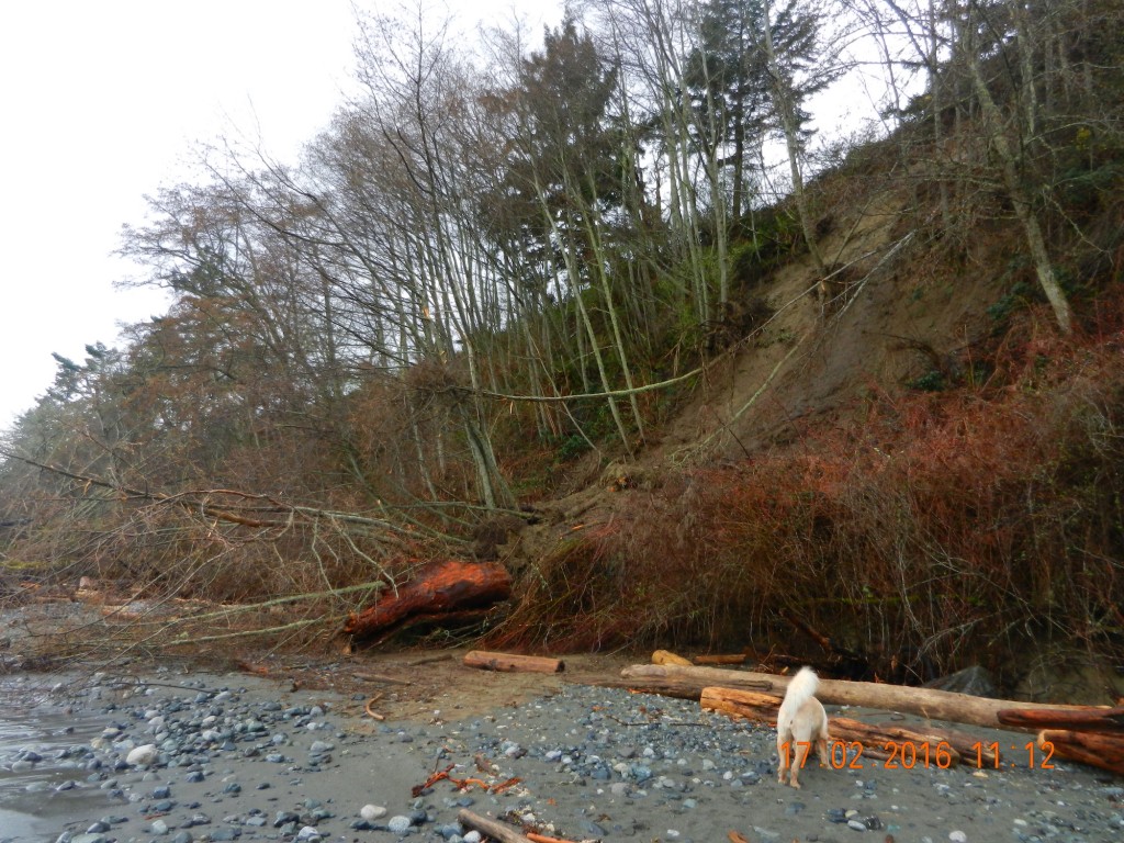
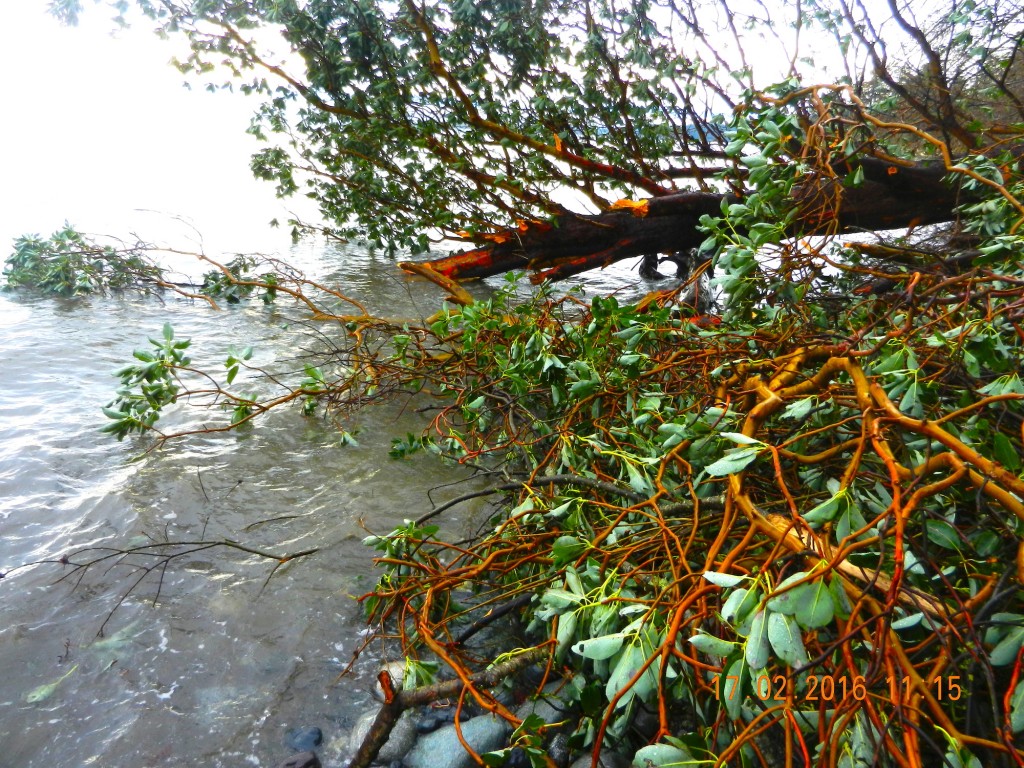
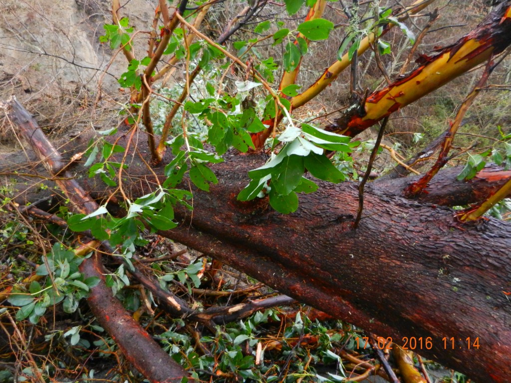
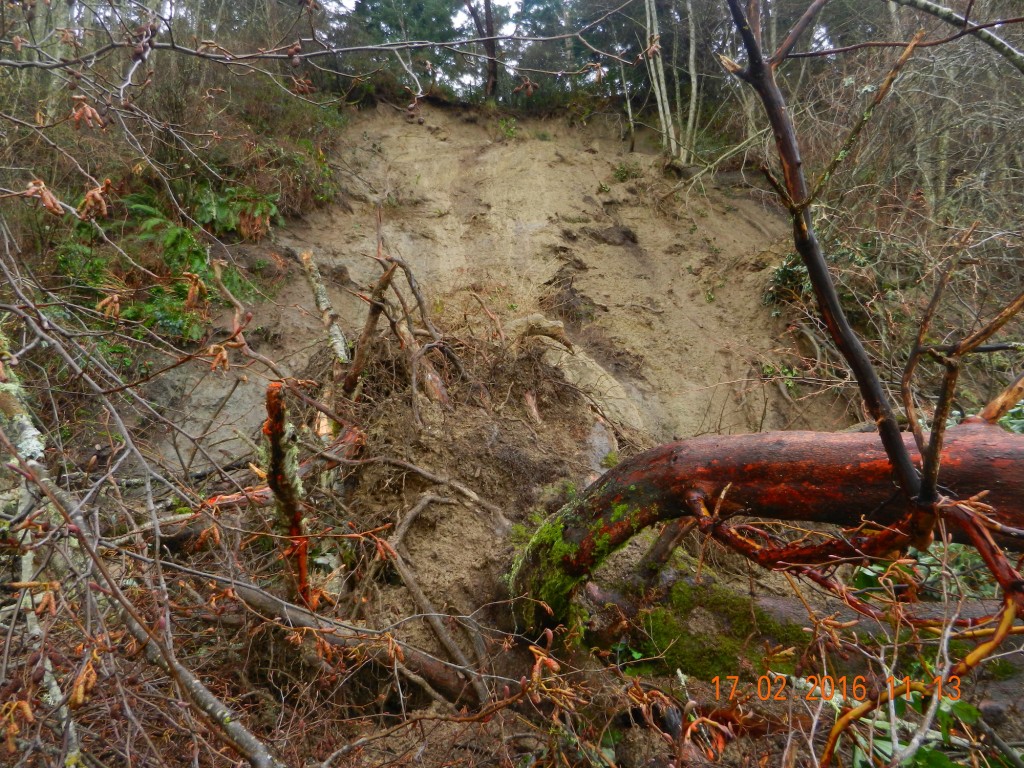
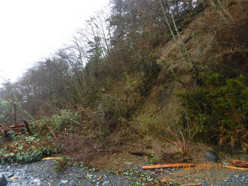
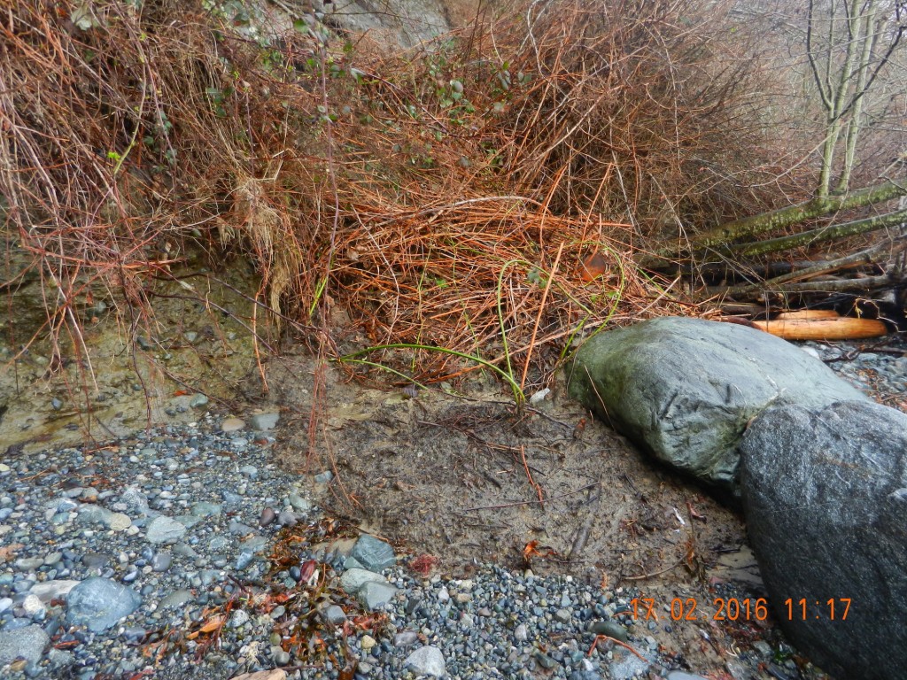
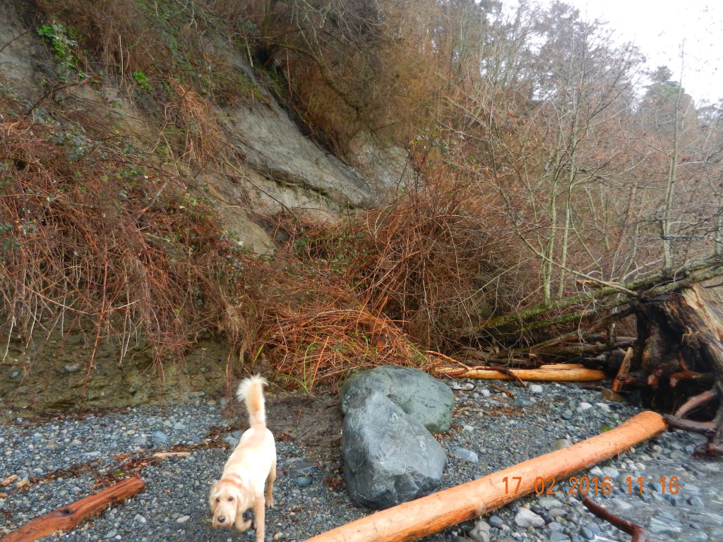
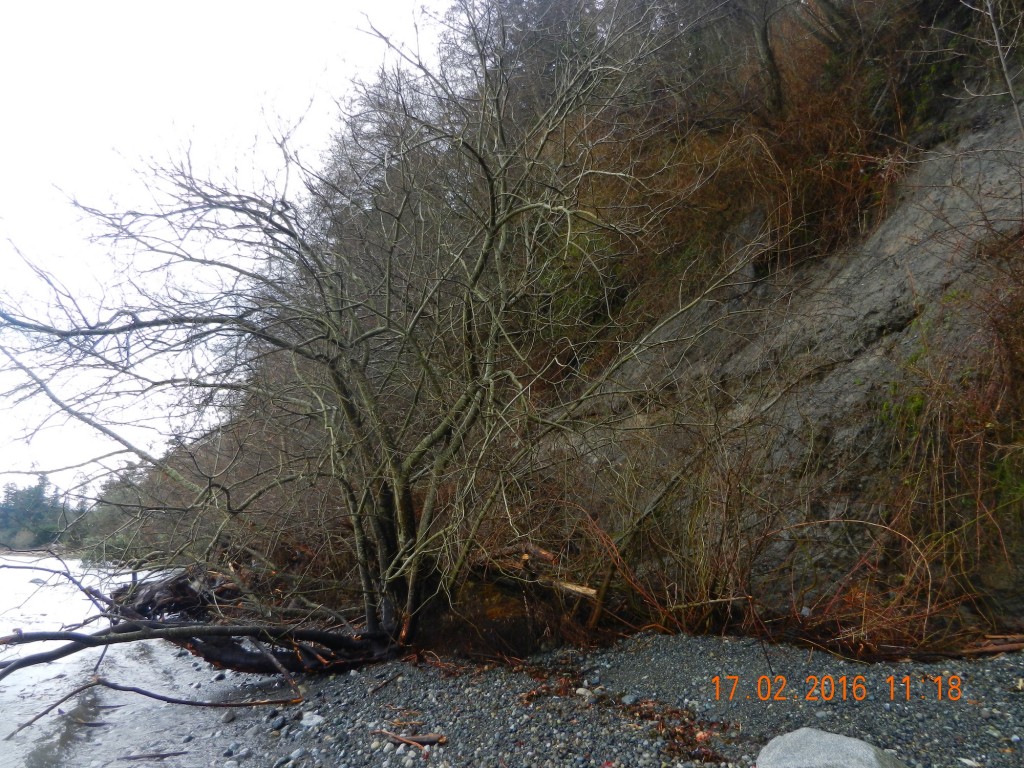
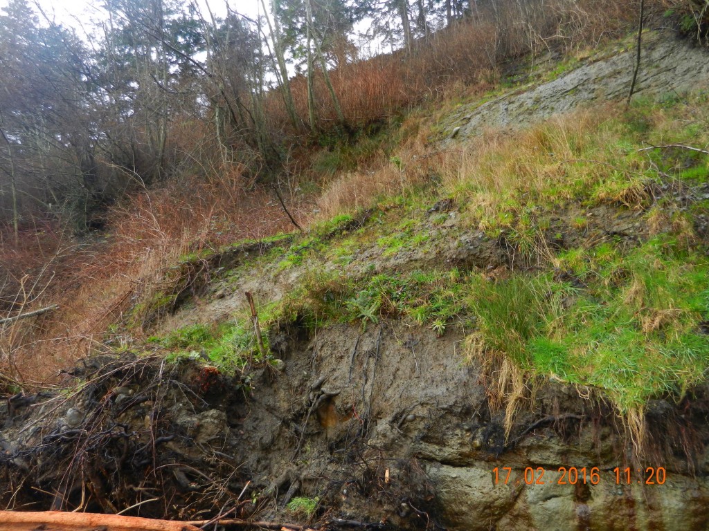
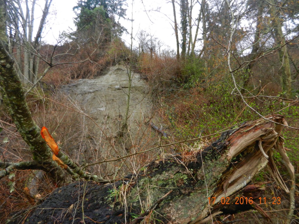
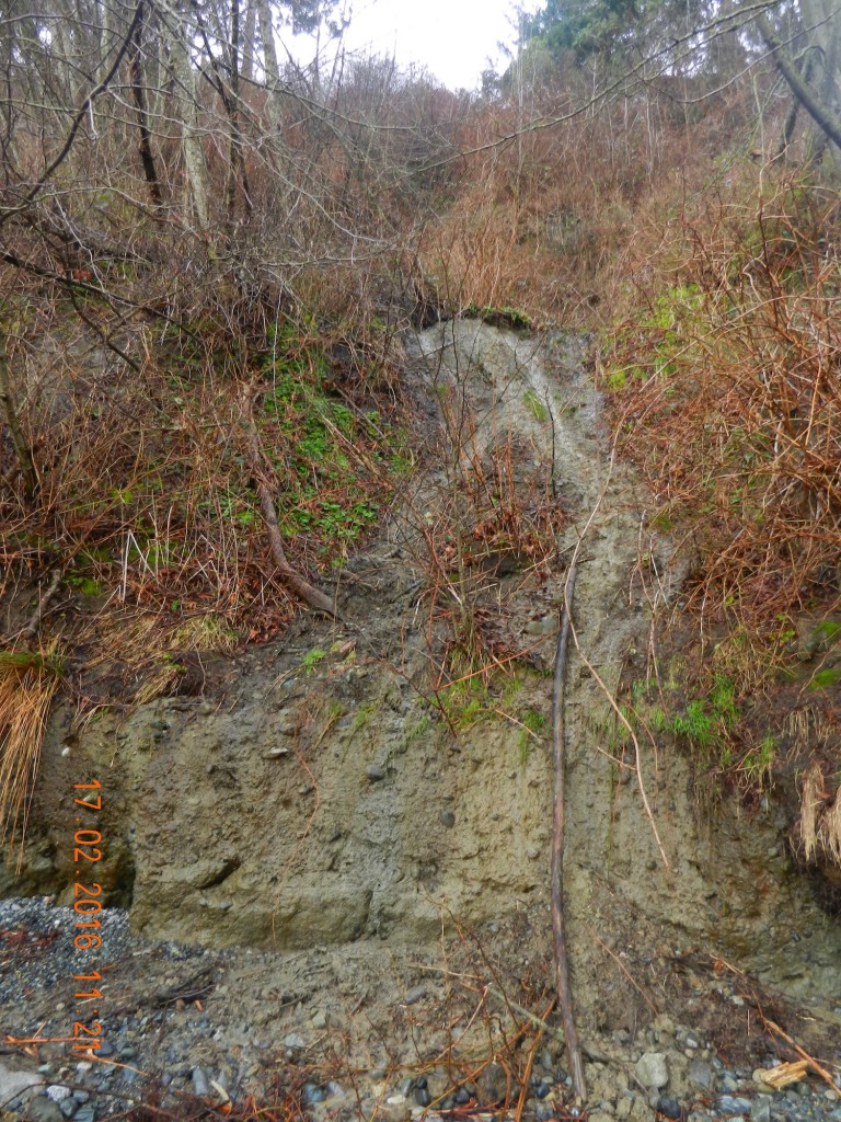
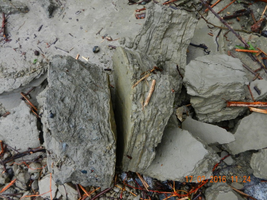
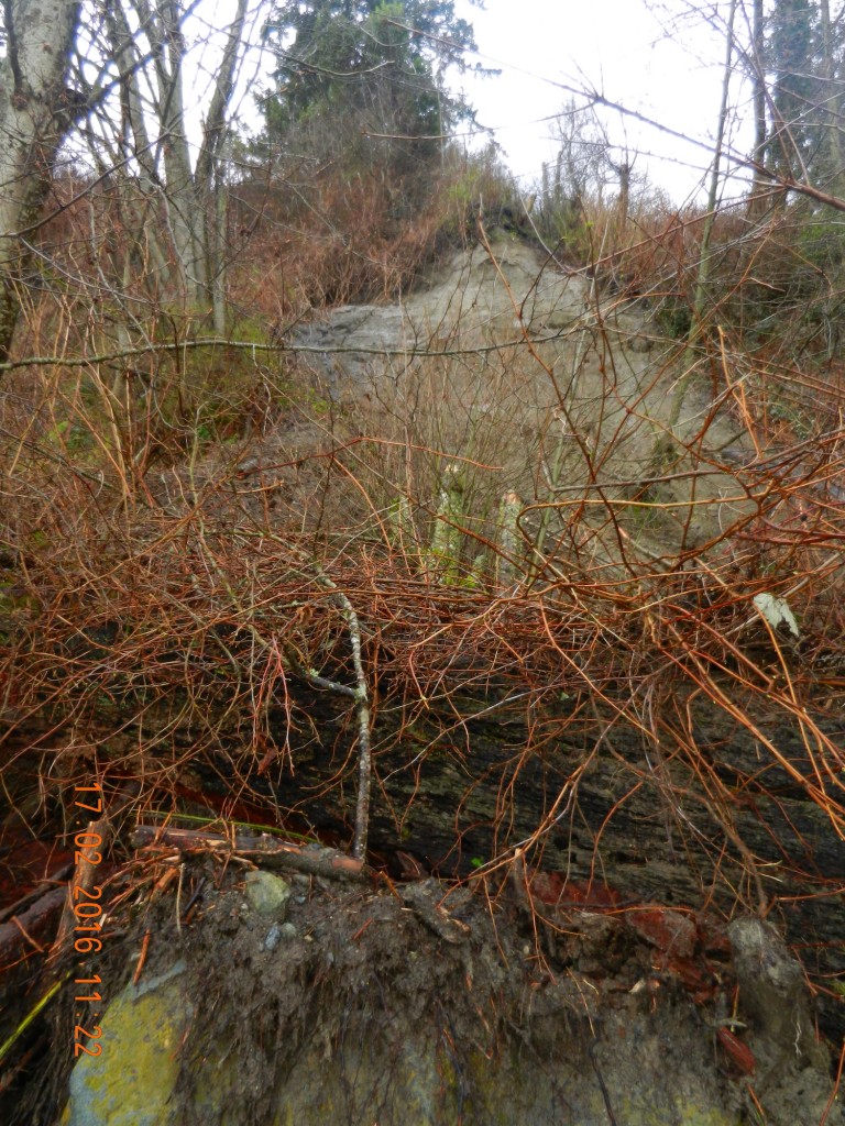
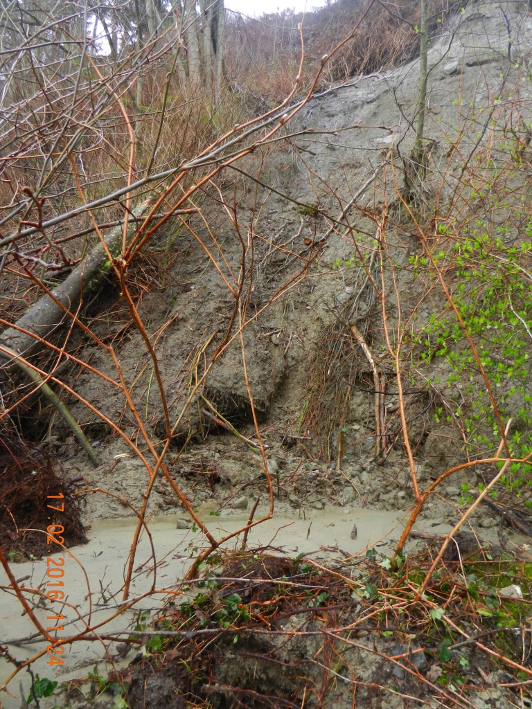
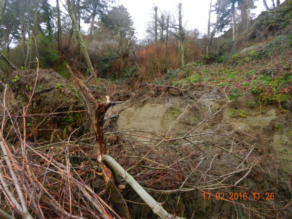
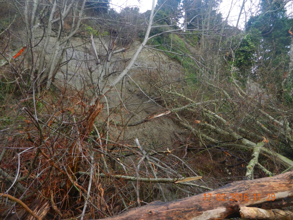
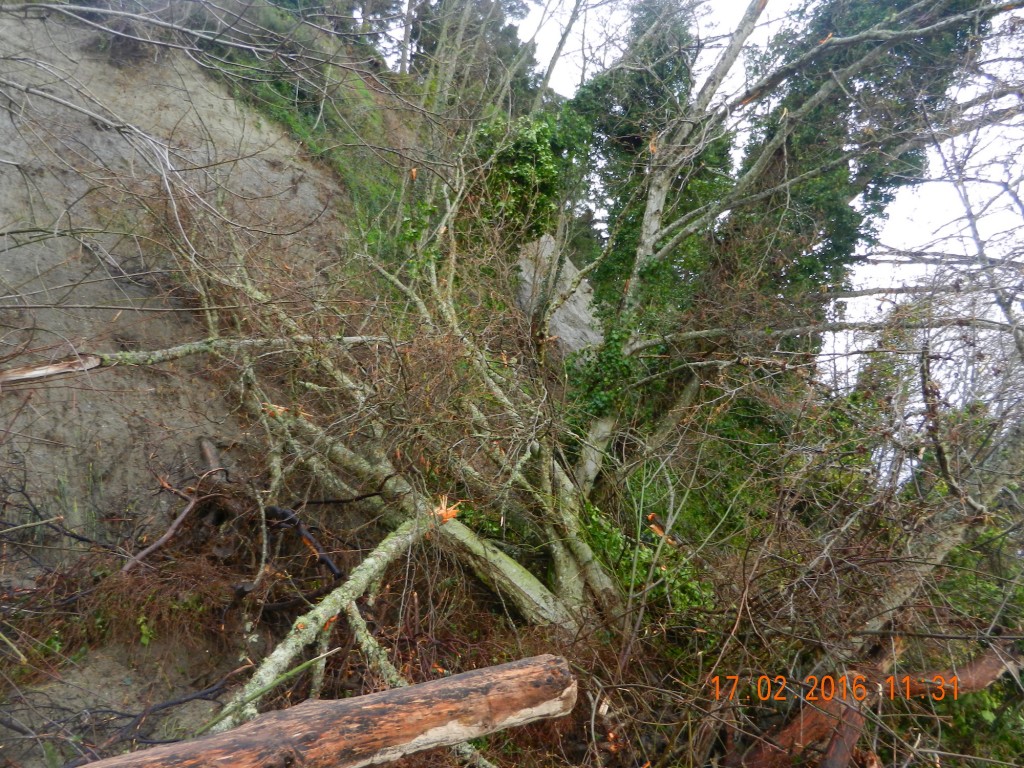
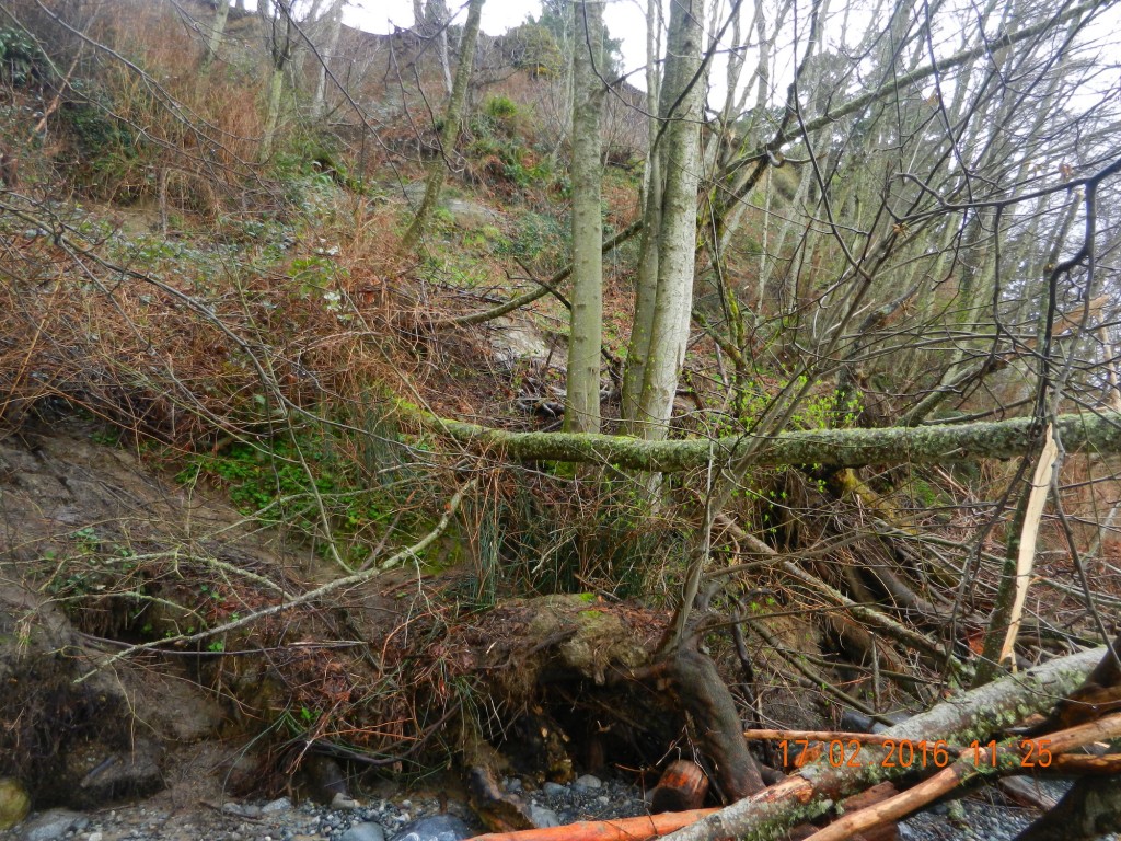
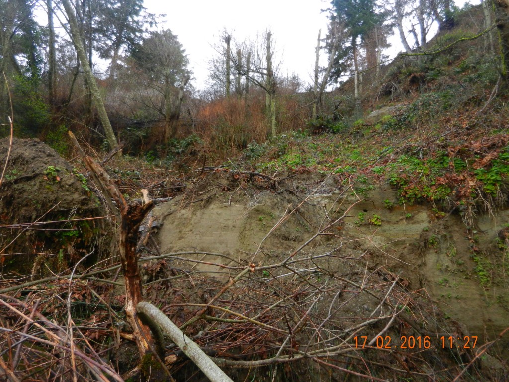
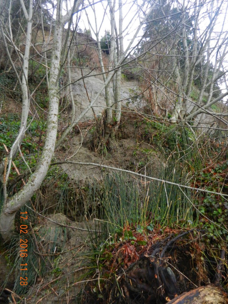
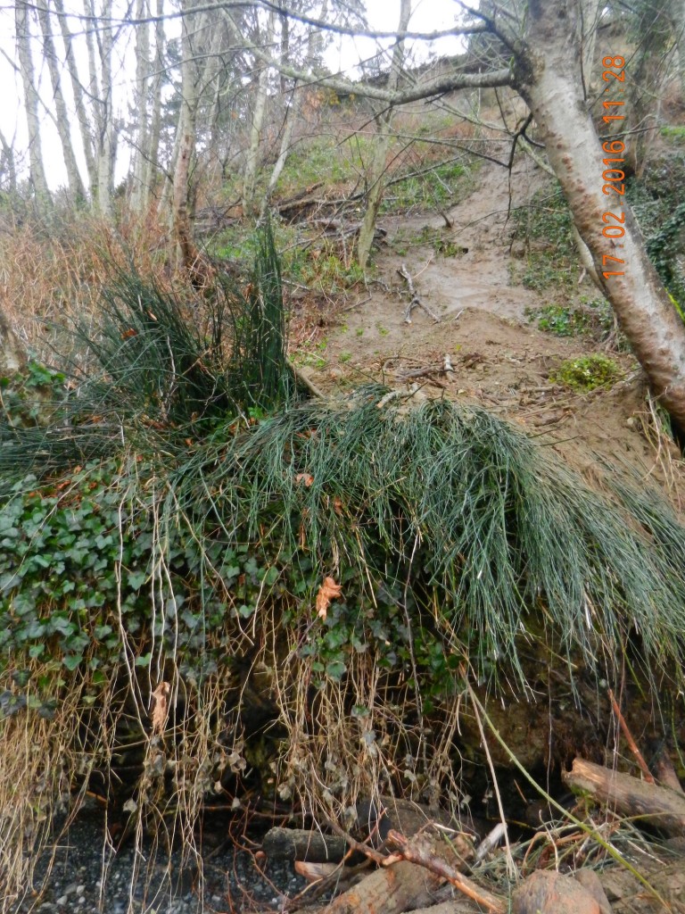
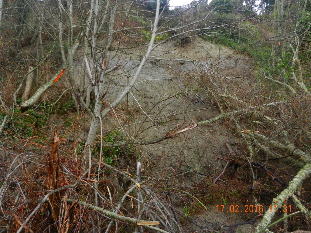
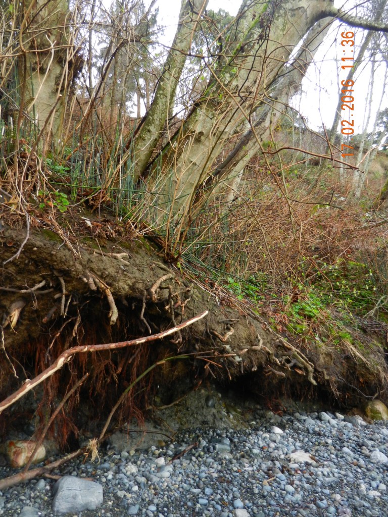
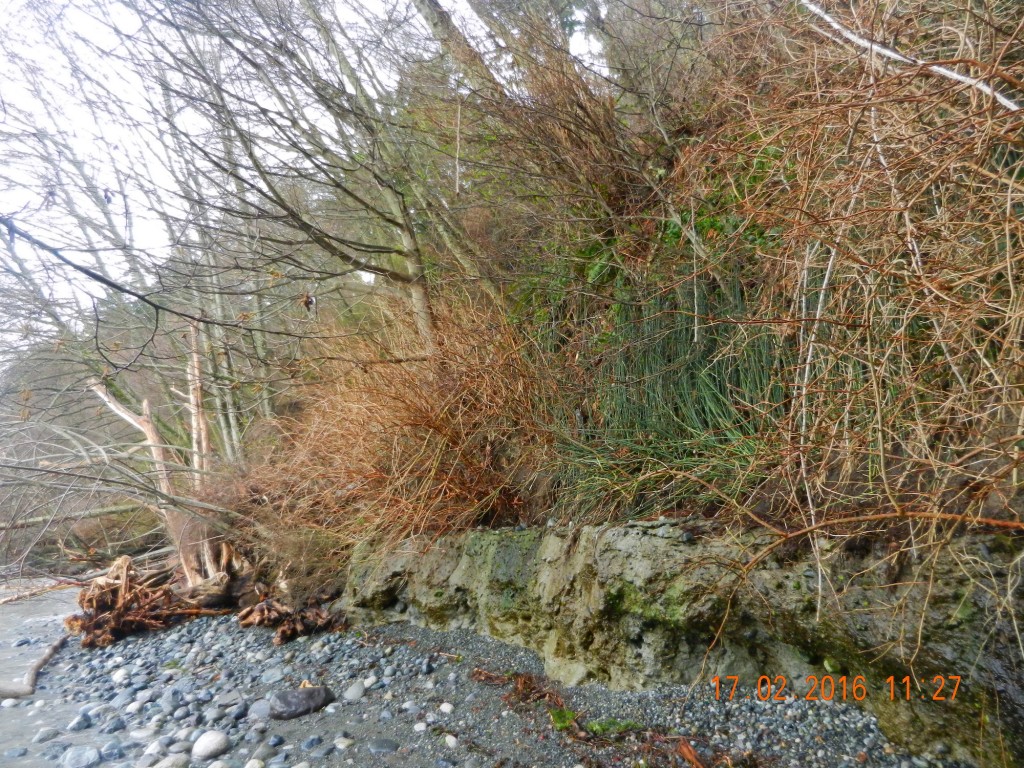
Taylor Beach Land Slides in February 2016

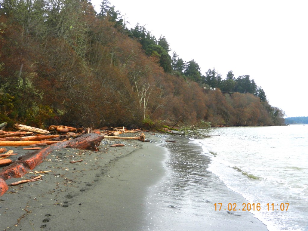
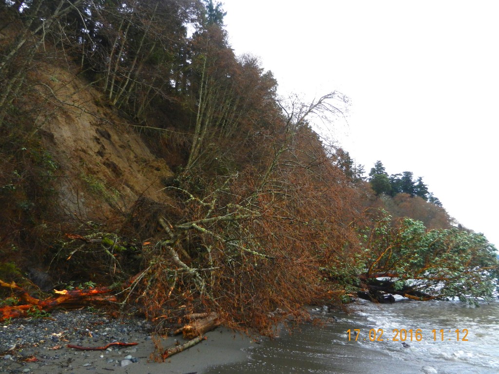
This past week we have had a few days of extra heavy rainfall in Metchosin and  consequently the hazard land slopes of the Development Permit Area along the Taylor Beach bluff have certainly met the designation.  On the South end of the bluffs alone, at least ten new slides have left large gaps on the cliff and have deposited piles of vegetation on the beach. Residents on the top of the bluff are continuously at risk of losing property so development of any new structures or vegetation removal is inadvisable.

The following pictures were taken starting from the south end of the cliff toward the first corner heading North.


Surf’s Up !

Since the 25th of November, we have had 5 inches of precipitation and in the last two weeks an unusual number of South-Easterly storms providing great action at Taylor beach in front of the farm, especially at high tide. The view starts by looking towards William Head prison and ends with a view of Victoria in the distance


Riparian well defined

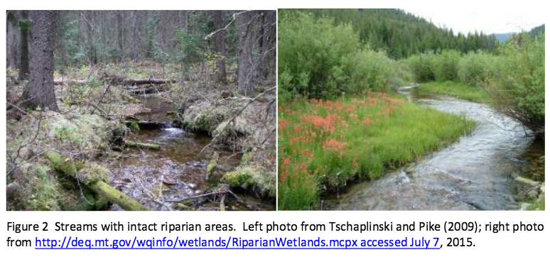
In determining the importance of the watershed that connects with our shoreline, the word Riparian often surfaces. In the National Energy Board KM/TMX hearings, the pdf enclosed was one of the reports presented. It gives a well-researched description of the definition of Riparian along with the implications for development which impinges upon such areas.

This was originally filed at : https://docs.neb-one.gc.ca/ll-eng/llisapi.dll/fetch/2000/90464/90552/548311/956726/2392873/2449925/2450952/2798050/C301-15-1_-_IR_From_Salmon_River_Enhancement_Society_to_Pipeup_-_A4Q7W6_SRES_RESPONSE_compressed_-_A4R4F2.pdf?nodeid=2797843&vernum=-2

QUOTE” “Role of Riparian Habitat in Streams Why is the Riparian Area Important? Riparian areas and the vegetation and structure associated with this component of aquatic environments in streams and lakes comprise critical habitats for many species, including commercial, recreational and aboriginal (CRA) fishery fishes. A riparian zone, or riparian area, is the water/land interface between the terrestrial upland area and a river or stream (Figure 1). Plant communities along the edge of streams or lakes are usually referred to as the riparian vegetation (Figure 2). The plant community within a riparian area often is dominated by hydrophilic species, but not always (Figure 2). In British Columbia watercourses that support CRA fisheries rely profoundly on intact and functional riparian areas (viz., Forest and Range Practices Act https://www.for.gov.bc.ca/code/ Table 1; Riparian Areas Regulation http://www2.gov.bc.ca/gov/content/environment/plants-animalsecosystems/fish/riparian-areas-regulation Table 2). To reiterate, the scientific literature is very clear that riparian areas comprise critical habitats for both fishes and other species (Wenger 1999, Broadmeadow and Nisbet 2004). The role of riparian habitats is elegantly described by excerpts in the following quotes: Riparian buffers are important for good water quality [in streams]. Riparian zones help to prevent [deleterious] sediment[s], nitrogen, phosphorus, pesticides and other pollutants from C301 – Salmon River Enhancement Society 3 reaching a stream. Riparian buffers are most effective at improving water quality when they include a native grass or herbaceous filter strip along with deep rooted trees and shrubs along the stream. Riparian vegetation is a major source of energy and nutrients for stream communities. They are especially important in small, headwater streams where up to 99% of the energy input may be from woody debris and leaf litter. [Invertebrates associated with this and instream vegetation contribute as fish food.] Overhanging riparian vegetation keeps streams cool, [and] this is especially important for…mountain trout [i.e., salmonid] populations. Riparian buffers provide valuable habitat for wildlife. In addition to providing food and cover they are an important corridor or travel [path]way[s] for a variety of wildlife. Forested streamsides benefit game species [e.g., deer and bear]…and nongame species like migratory songbirds. Riparian vegetation slows floodwaters, thereby helping to maintain stable streambanks and protect downstream property. By slowing down floodwaters and rainwater runoff, the riparian vegetation allows water to soak into the ground and recharge groundwater. Slowing floodwaters allows the riparian zone to function as a site of sediment deposition, trapping sediments that build stream banks and would otherwise degrade our streams and rivers. [http://www.bae.ncsu.edu/programs/extension/wqg/sri/riparian5.pdf Accessed 6 July 2015.] The critical nature of riparian areas to a properly functioning stream cannot be overstated. As Tschaplinski and Pike (2009), in their analysis of the function of riparian areas to British Columbia streams, point out “No other landscape features within forests provide linkages that are as extensive and complex as those provided by riparian ecotones.” Tschaplinski and Pike (2009) go further to indicate that riparian areas contain and support many of the highest-value resources in natural forests and quote Hartman and Scrivener (1990) as evidence. In another citation, Gregory et al. (1991) indicate that the plant and animal communities in riparian areas frequently have the highest species richness found in forests. The issues relating to riparian areas are particularly relevant to the Trans Mountain Expansion Project (TMEP) as many of the streams crossed by the pipeline construction are typical of the watercourses that Tschaplinski and Pike (2009) and others refer to in respect to the importance of the role of riparian vegetation and the zone as fish habitat. And riparian areas are key habitats that TMEP will destroy as a function of crossing the streams where trenching will take place.See the full PDF:Ripariandefinition-_IR_From_Salmon_River_Enhancement_Society_to_Pipeup_-_A4Q7W6_SRES_RESPONSE_compressed_-_A4R4F2
riparianareas

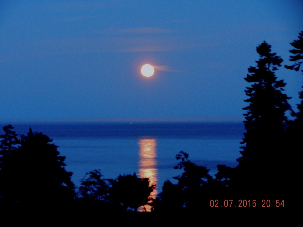
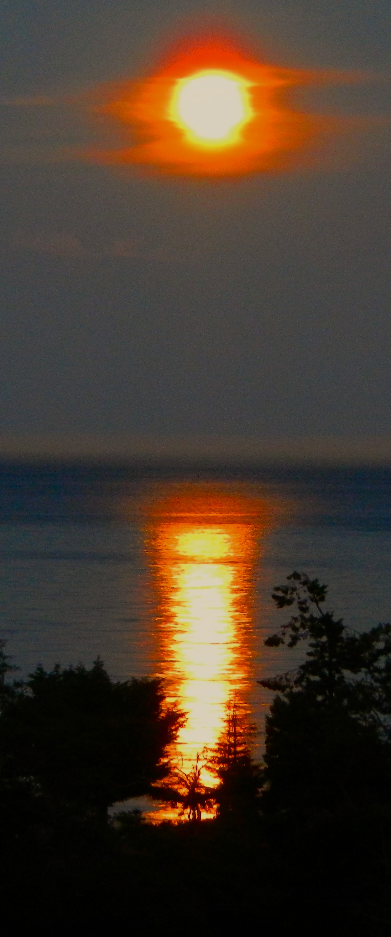
Moon over ocean: Taylor Beach July 2 2015

2015-07-02moonreflectl

A question for a physics student:
Why does the moon reflect in parallel lines over the ocean water rather than coming from narrow on the horizon to wide at the shore?

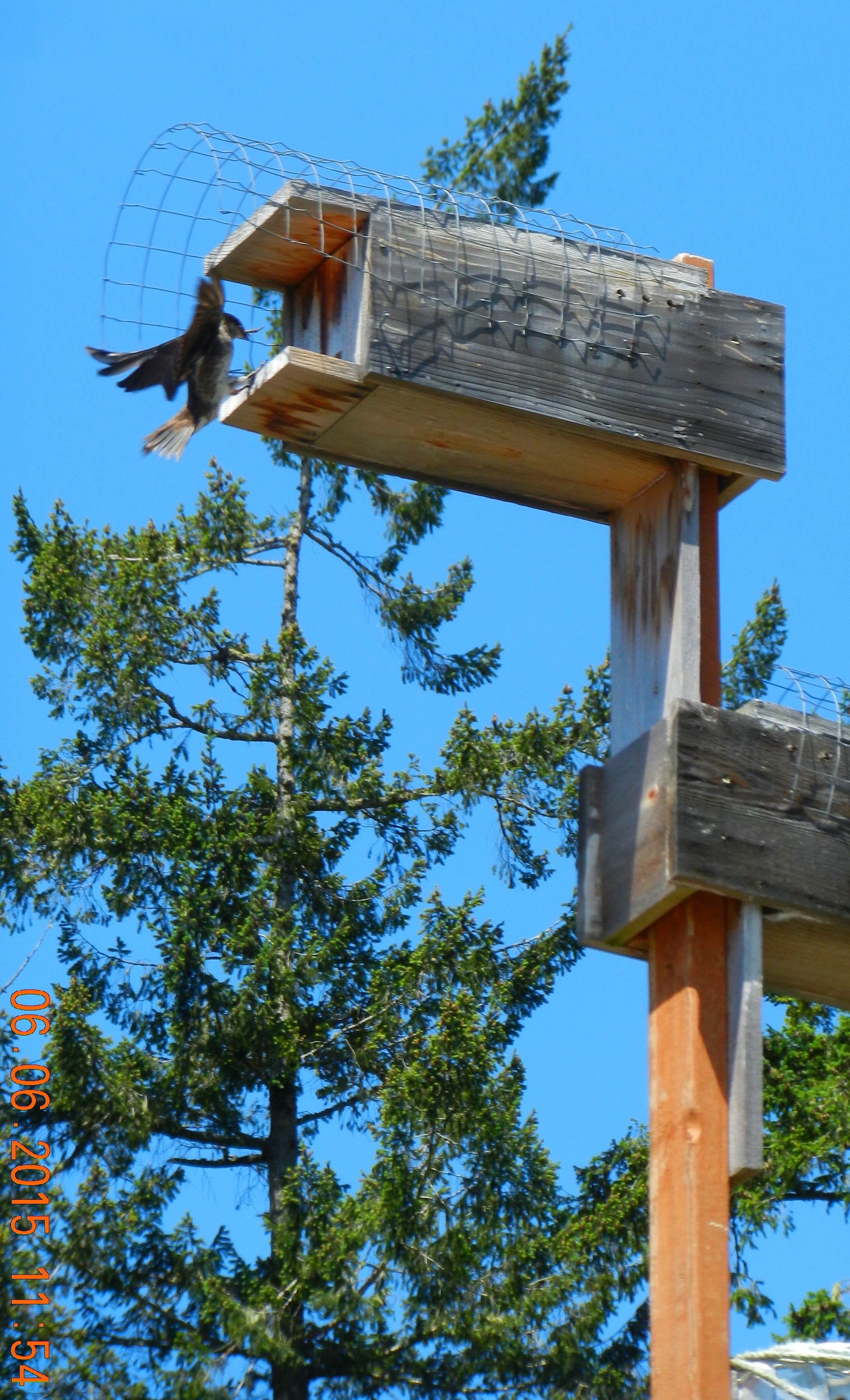
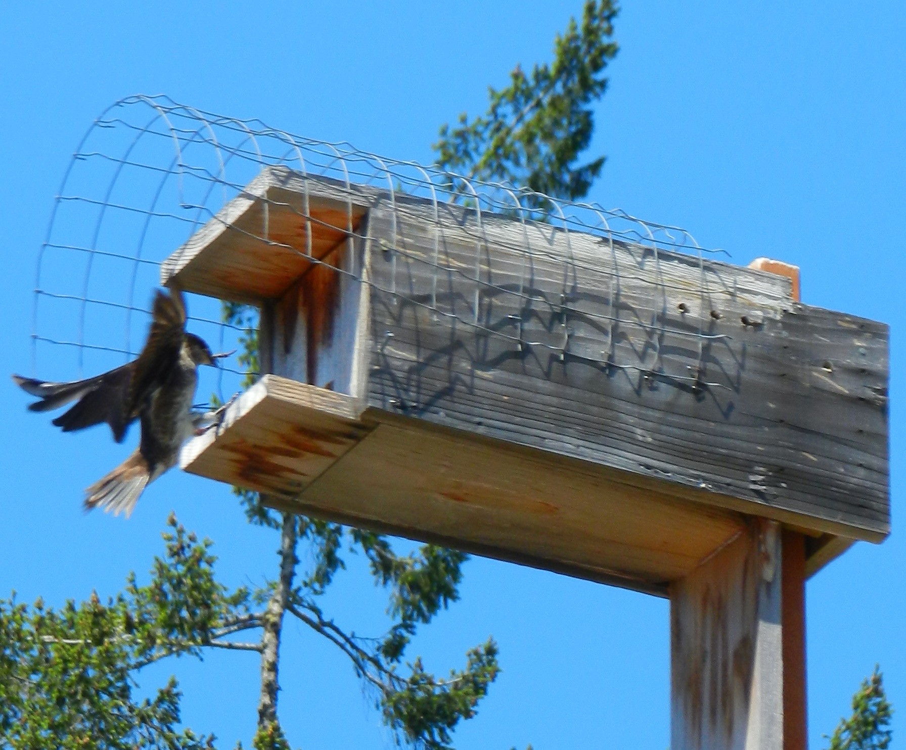
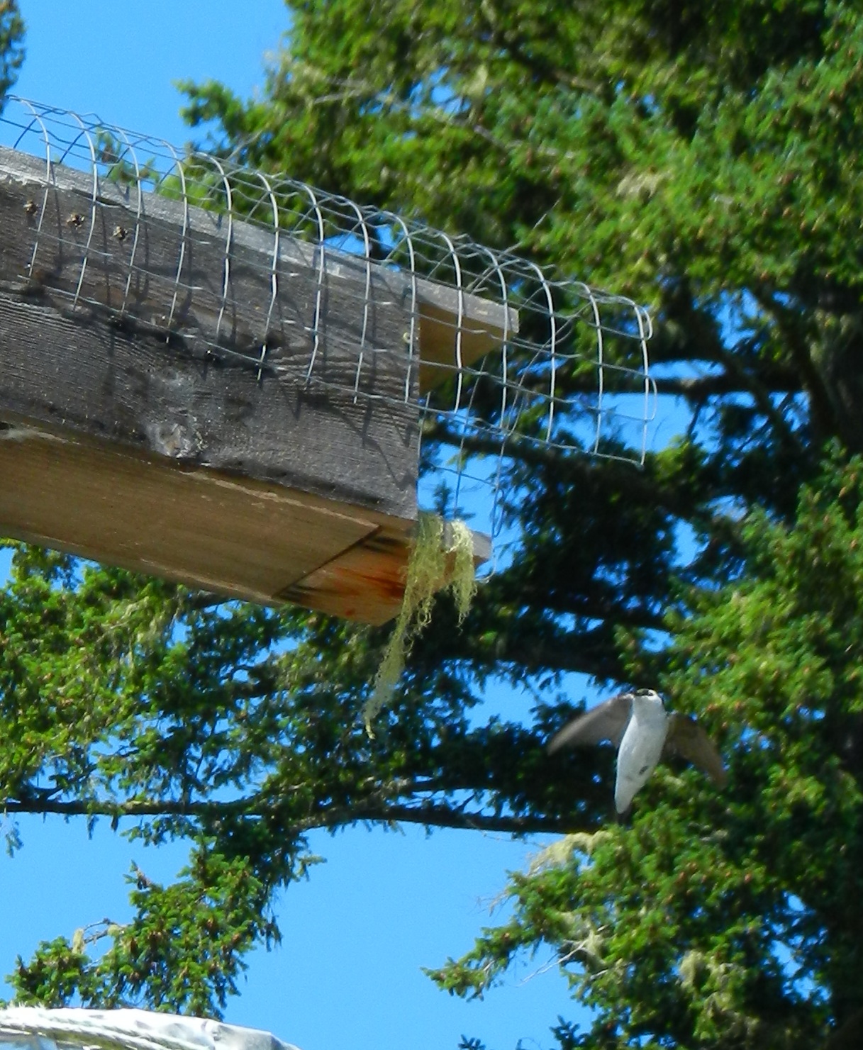
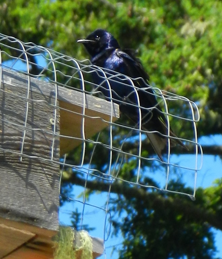
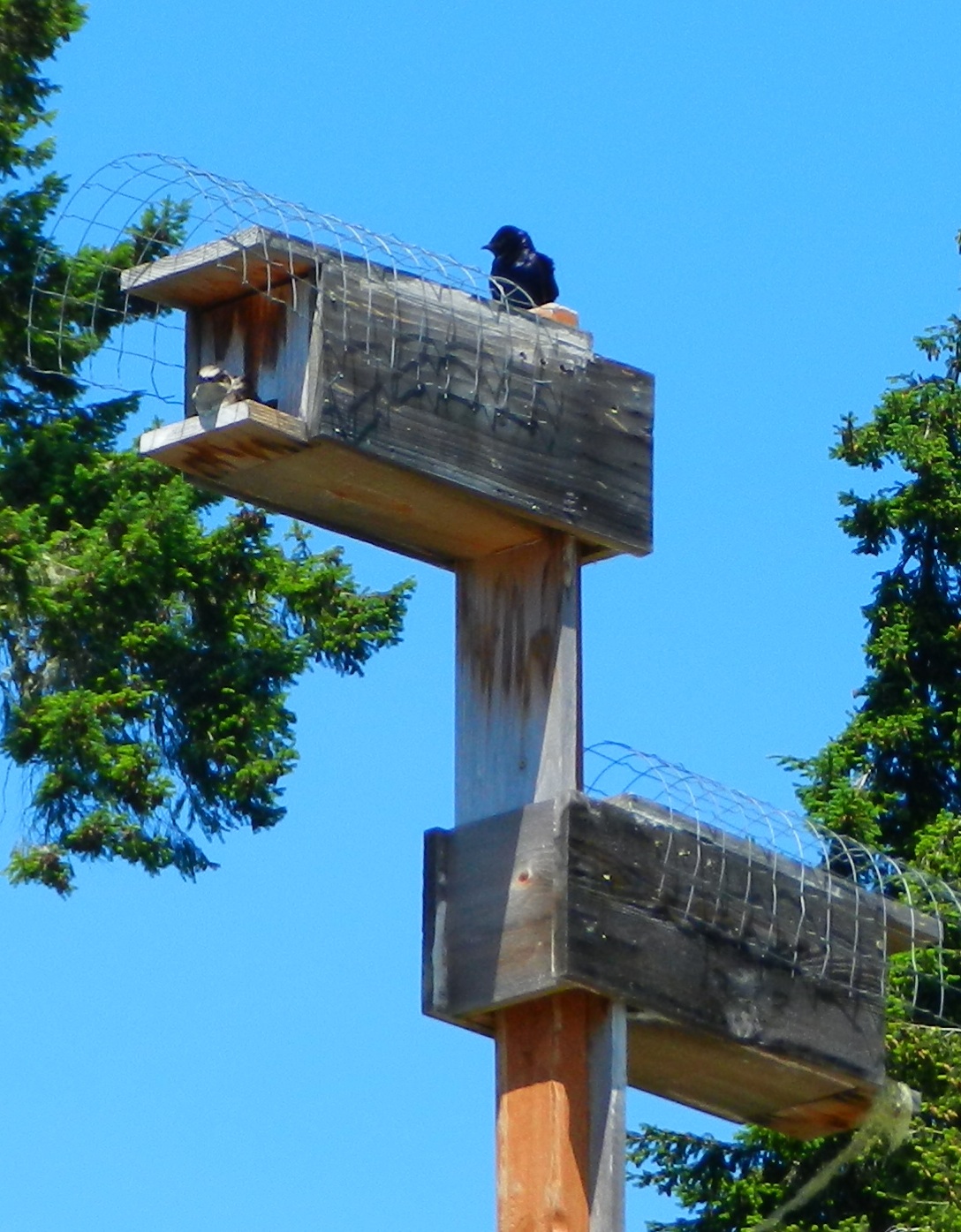
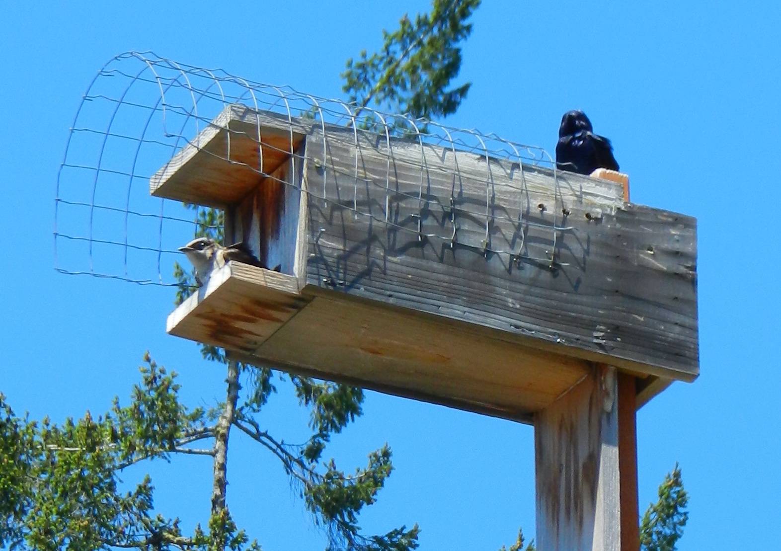
Purple Martins nesting at Pearson College Docks in Pedder Bay

OLYMPUS DIGITAL CAMERA

John Costello and James Kennerley-Aug 2013.

Four new purple martin boxes were installed on the pilings of the Pearspn College docks in Pedder Bay on August 6, 2013. The team was Fred Beinhauer, John Costello, the late Tom Gillespie, and James Kennerley , a student from Pearson College.

This is now the second year that they have inhabited the houses and raised offspring. Locally, the Rocky Point Bird Observatory has assumed responsibility for Purple Martin colonies on South Van Island. The RPBO coordinator is Wallis Moore Reid. Courtney Edwards agreed to be the PC colony steward. Her office is right on the wharf where the boxes are located.

The overall effort in BC is administered by the Purple Martin  Recovery Society. Bruce Cousens out of Nanaimo is the Biologist who is the driving force behind the project.

Some websites are: http://www.georgiabasin.ca/puma.htm (the official website of Bruce Cousens mentioned above) and  http://rpbo.org/ 

RESEARCH ARTICLE: Conserv Genet DOI 10.1007/s10592-007-9358-3
High genetic diversity in the blue-listed British Columbia population of the purple martin maintained by multiple sources of immigrants Allan J. Baker, Annette D. Greenslade, Laura M. Darling and  J. Cam Finlay

Scientific classification
Kingdom: Animalia
Phylum: Chordata
Class: Aves
Order: Passeriformes
Family: Hirundinidae
Genus: Progne
Species: P. subis
Progne subis
(Linnaeus, 1758)

Vegetation in April at Tower Point

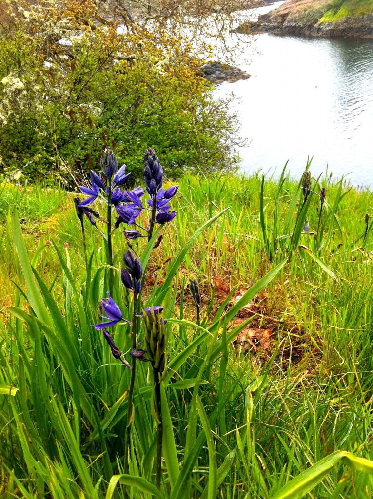
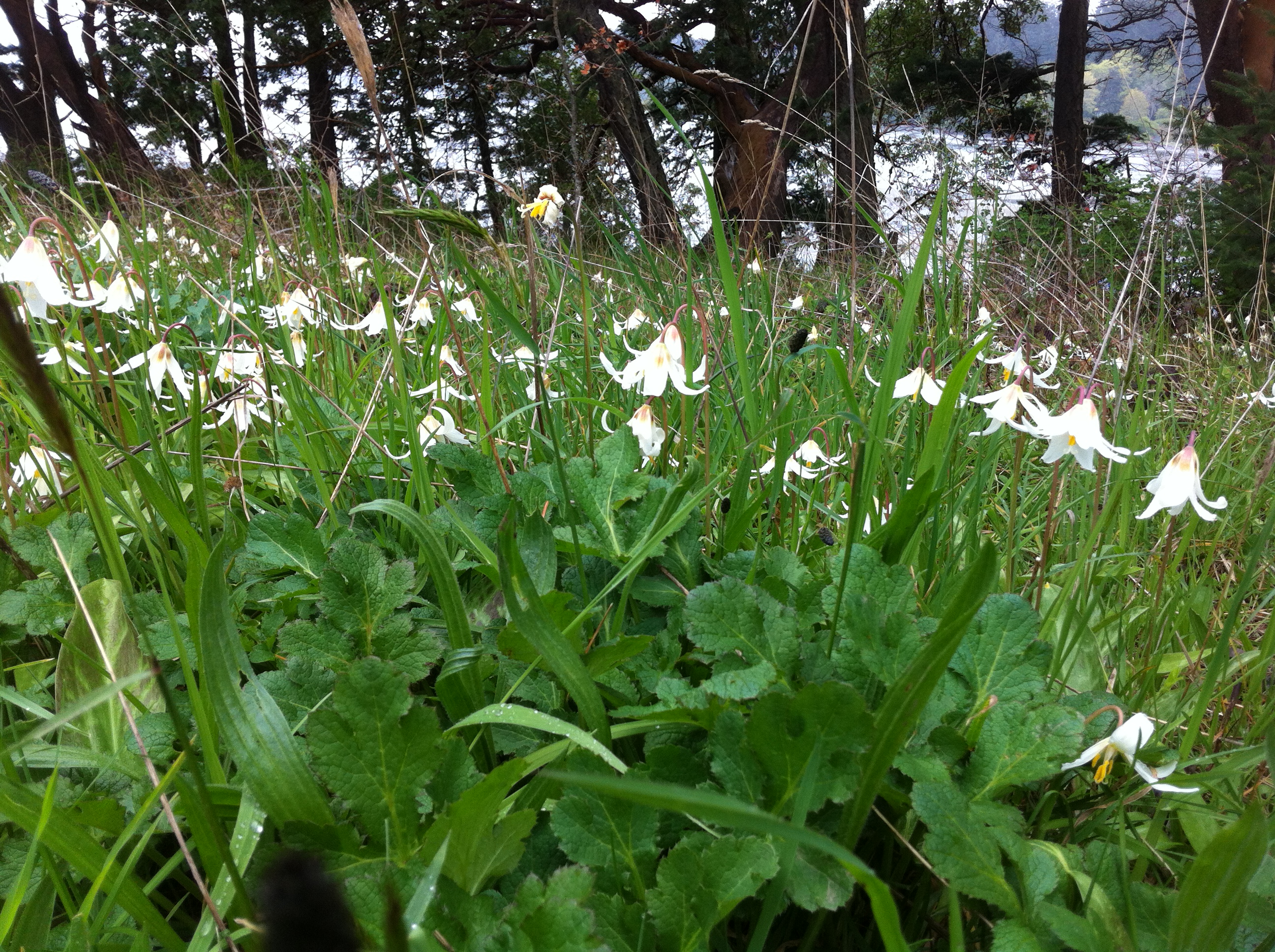
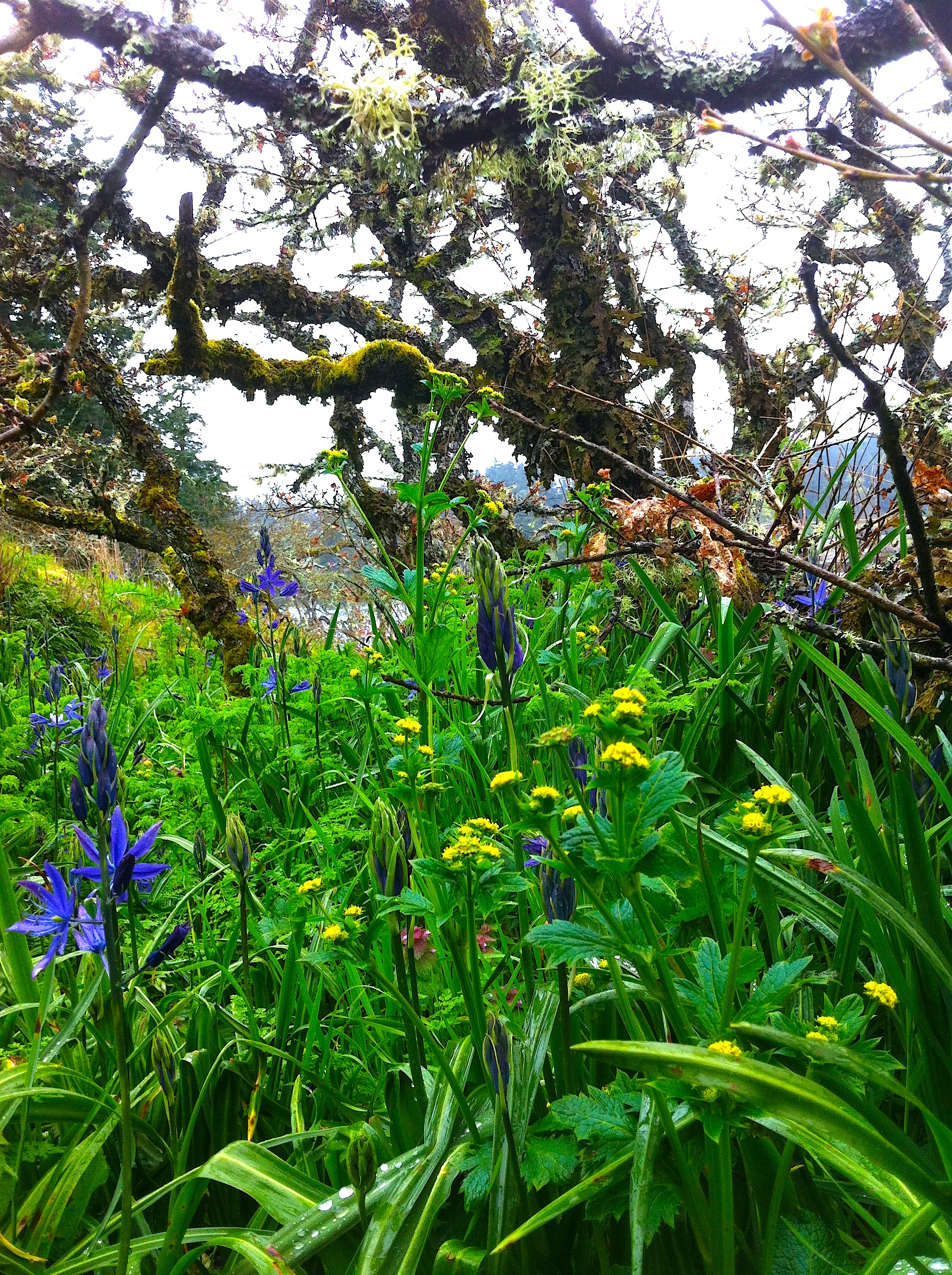
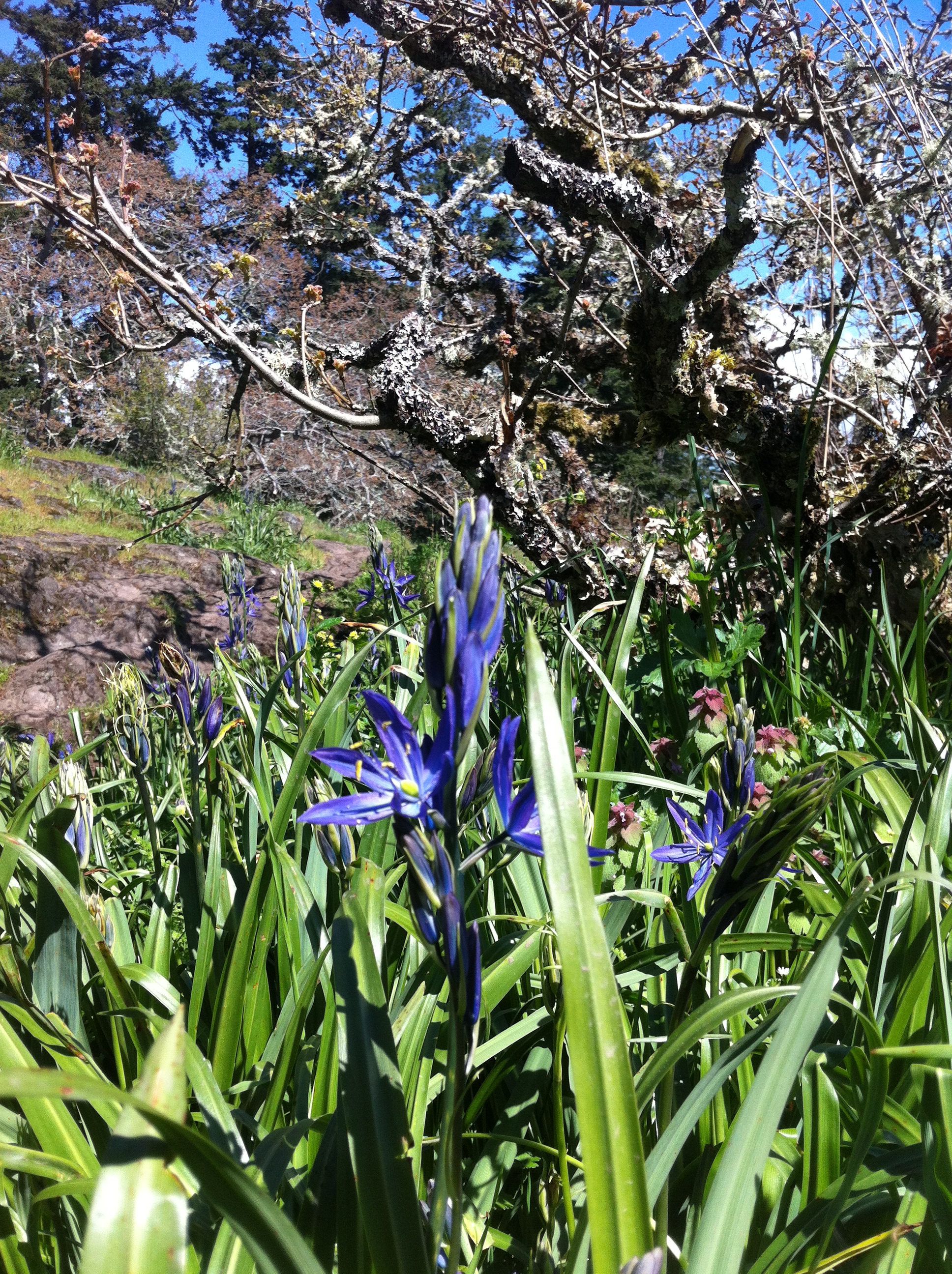
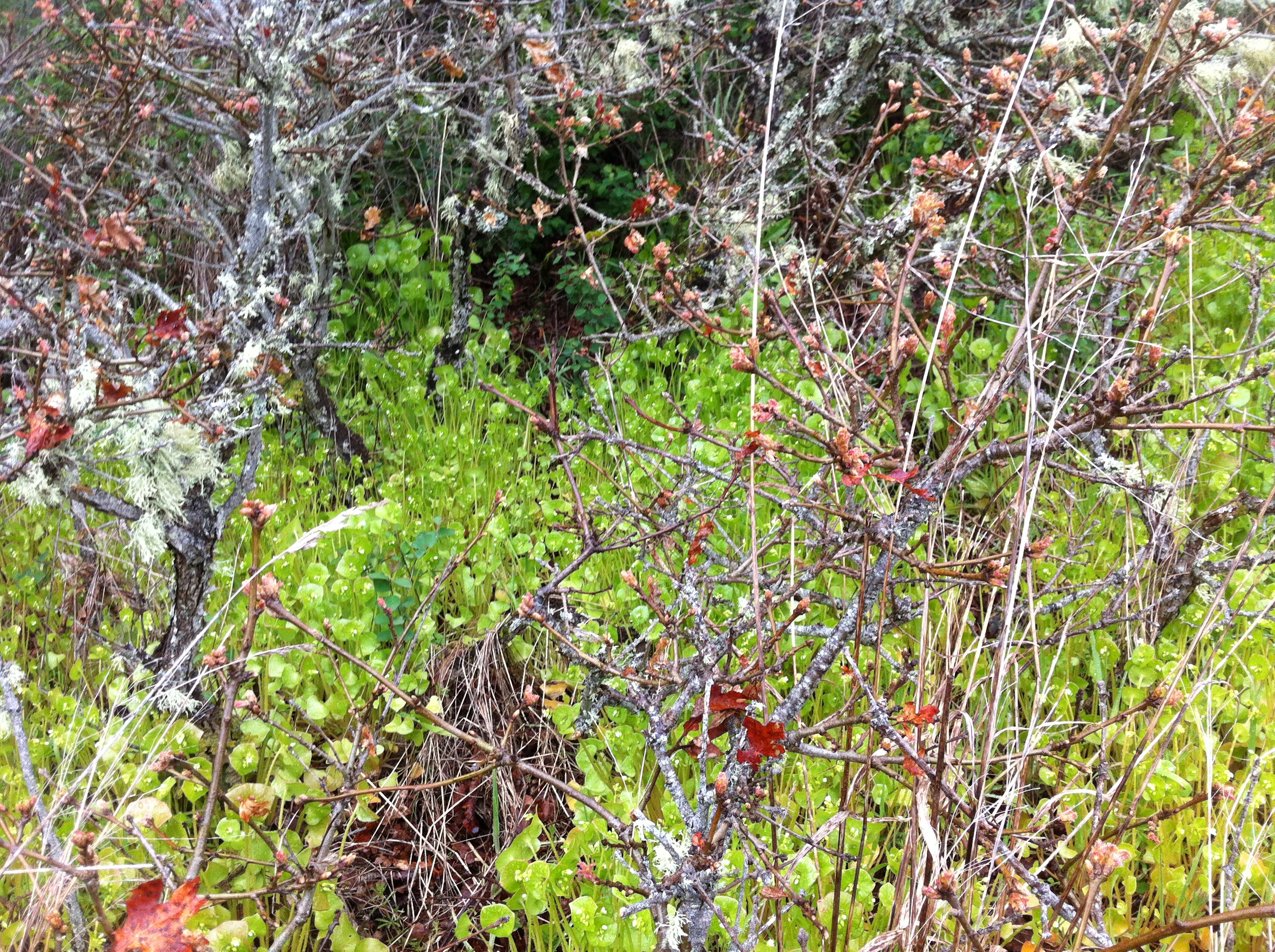
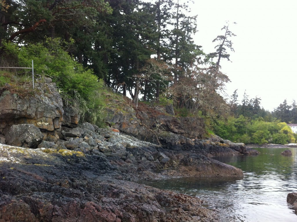
In Mid-April,  native species provide a colourful display on Tower Point next to the ocean.

2015-04-13 camas

Camas on the shore of Tower Point


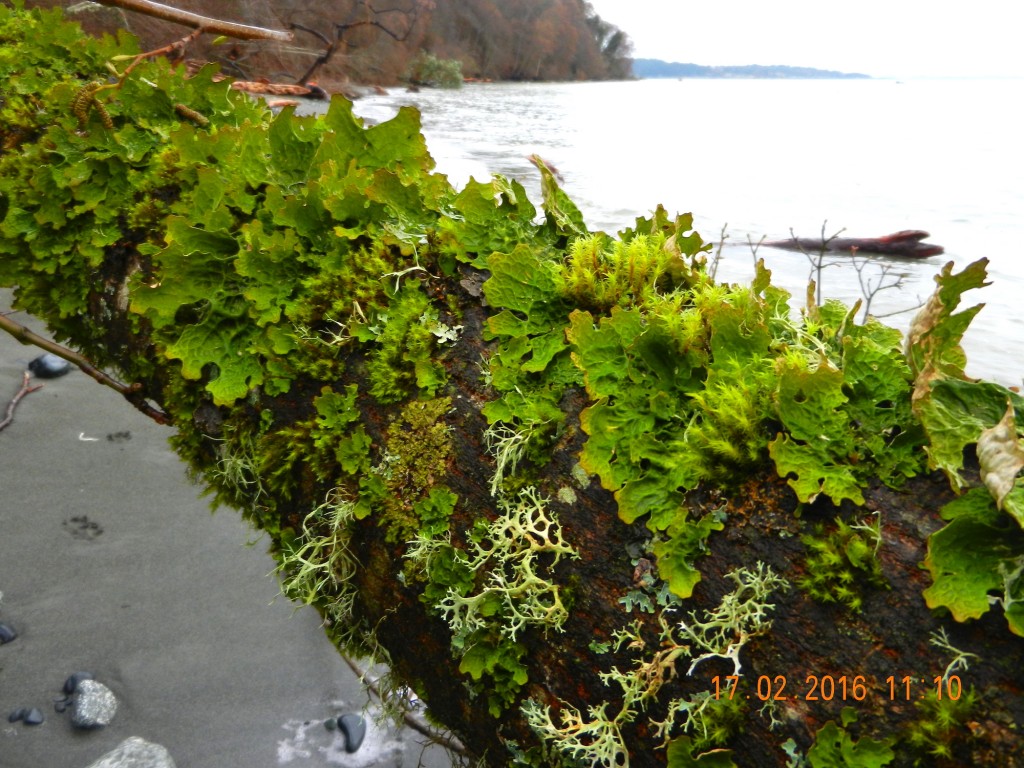
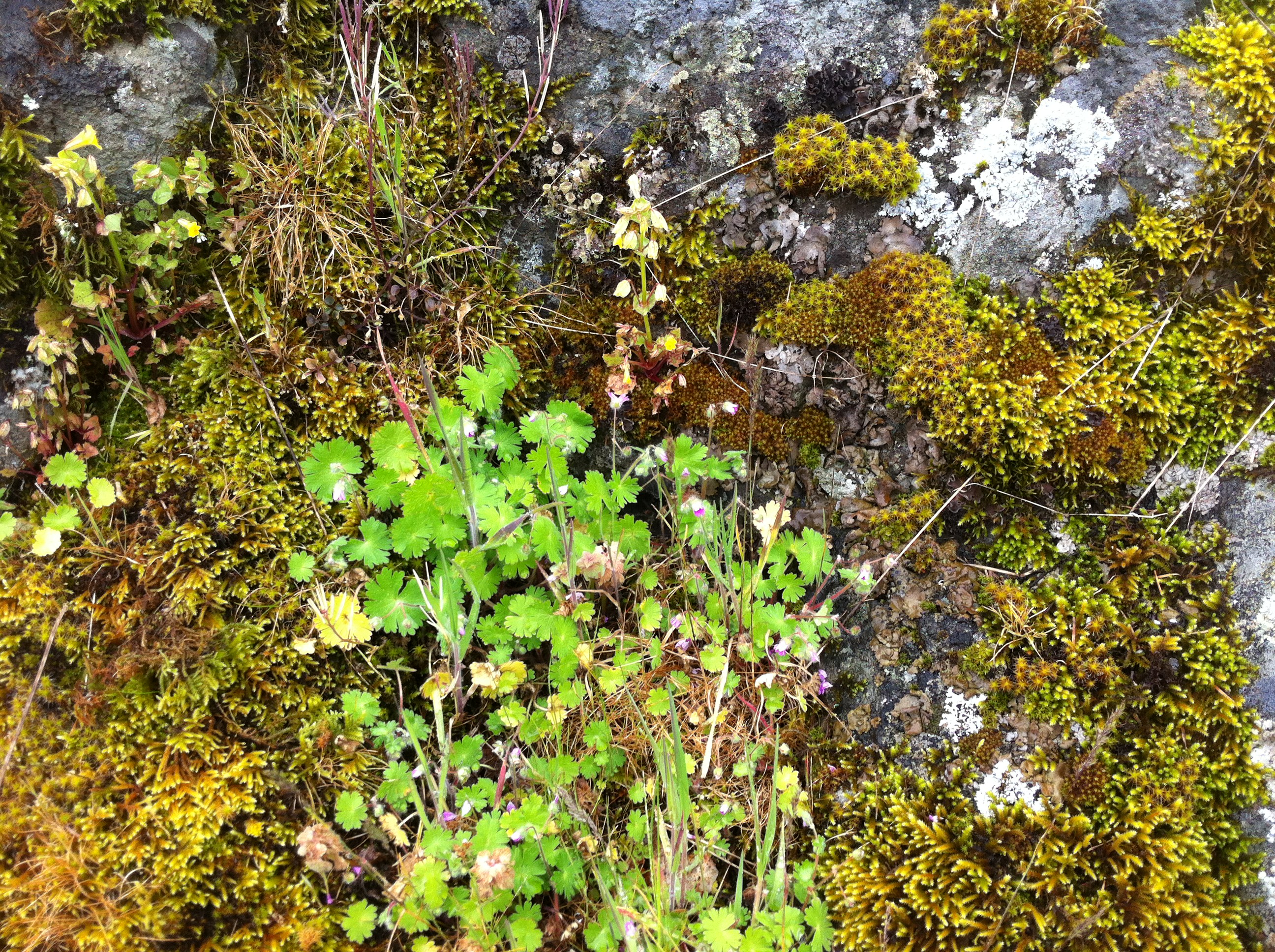
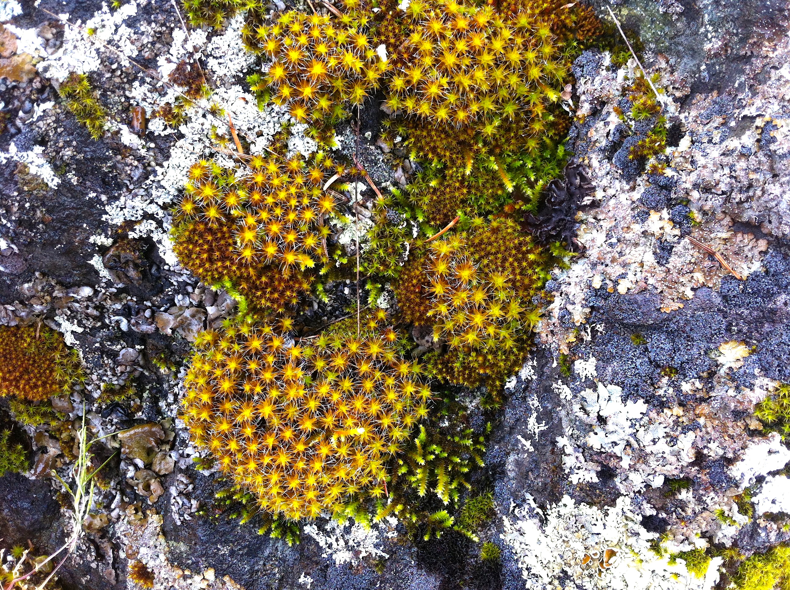
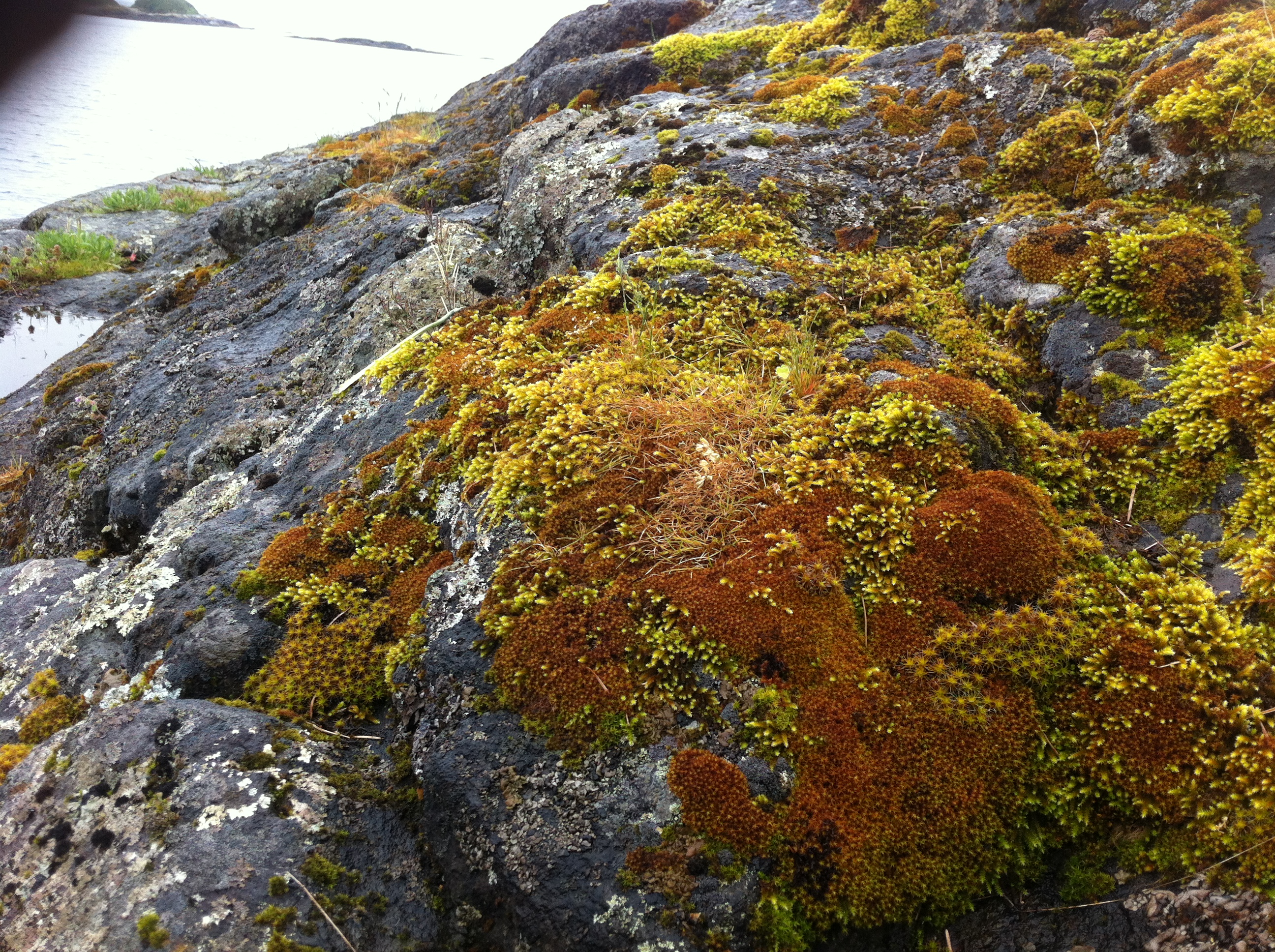
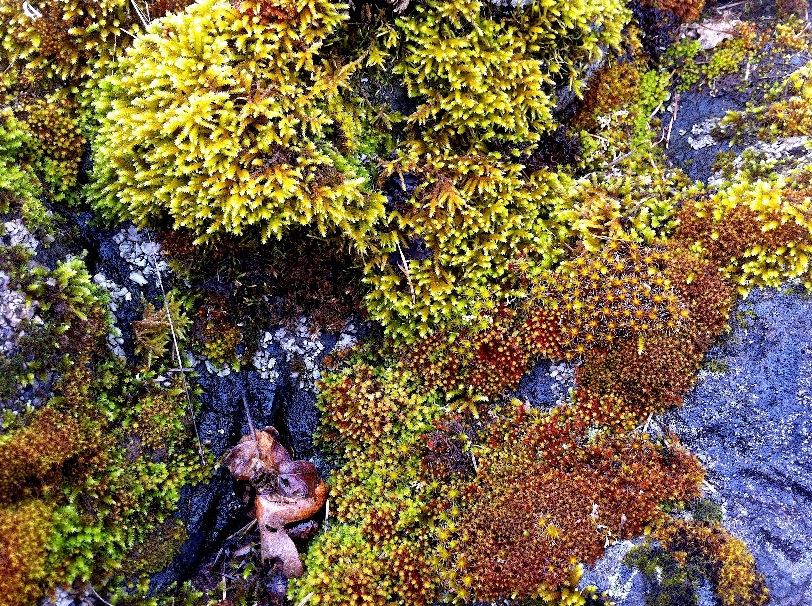
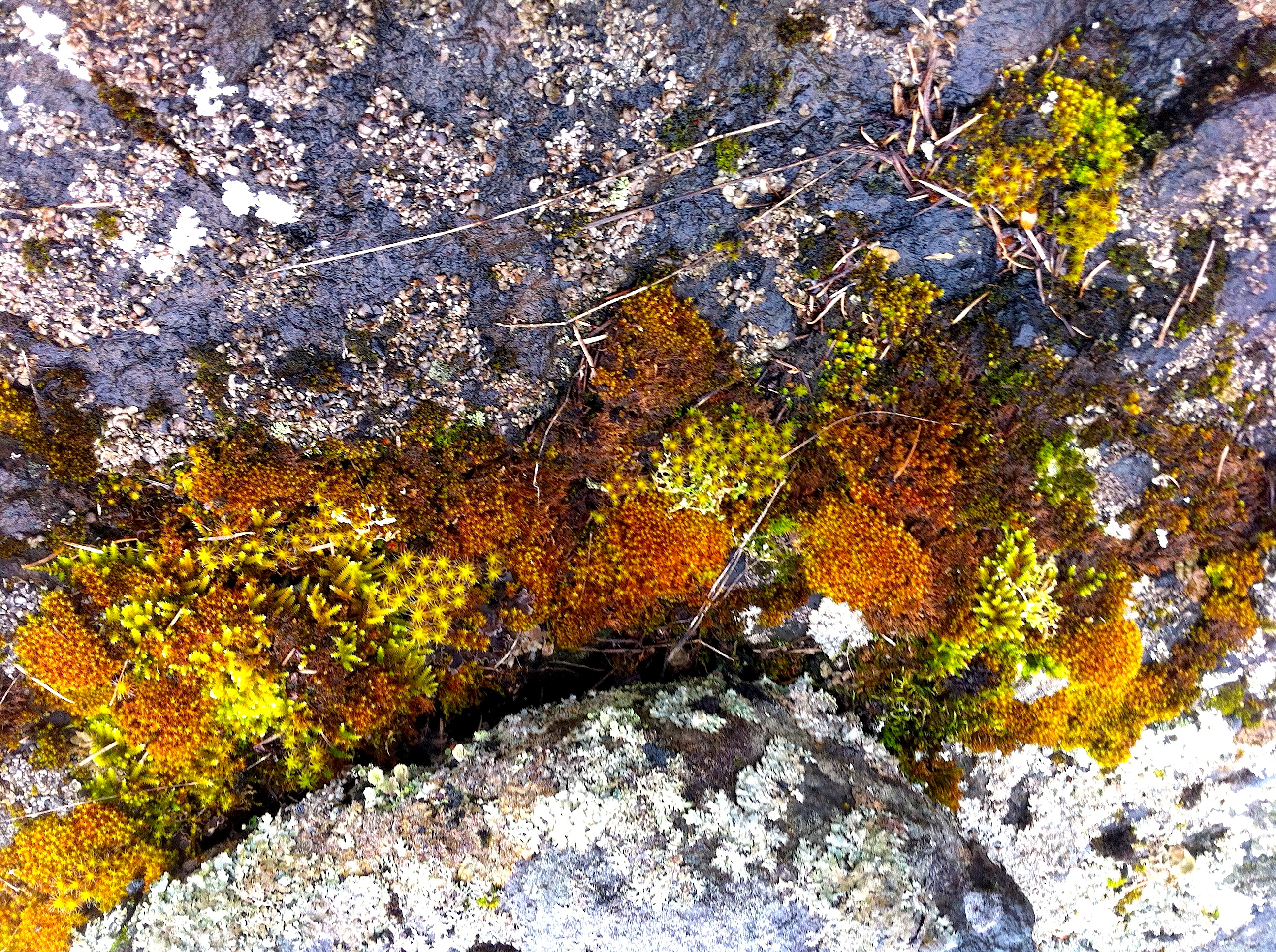
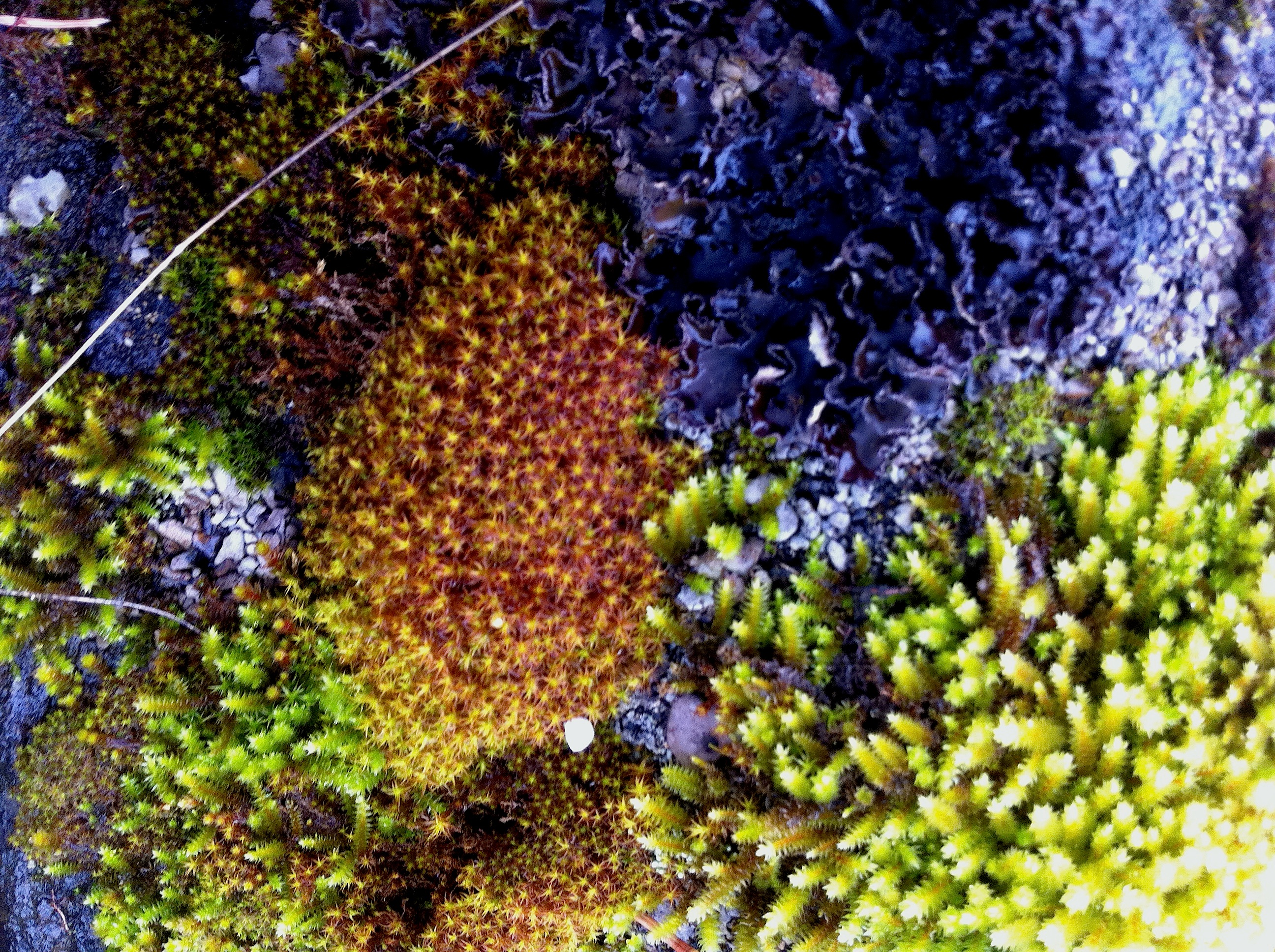
I was also impressed with the display of a high biodiversity of Bryophytes ( mosses) on the rocky shore just above the spray zone:

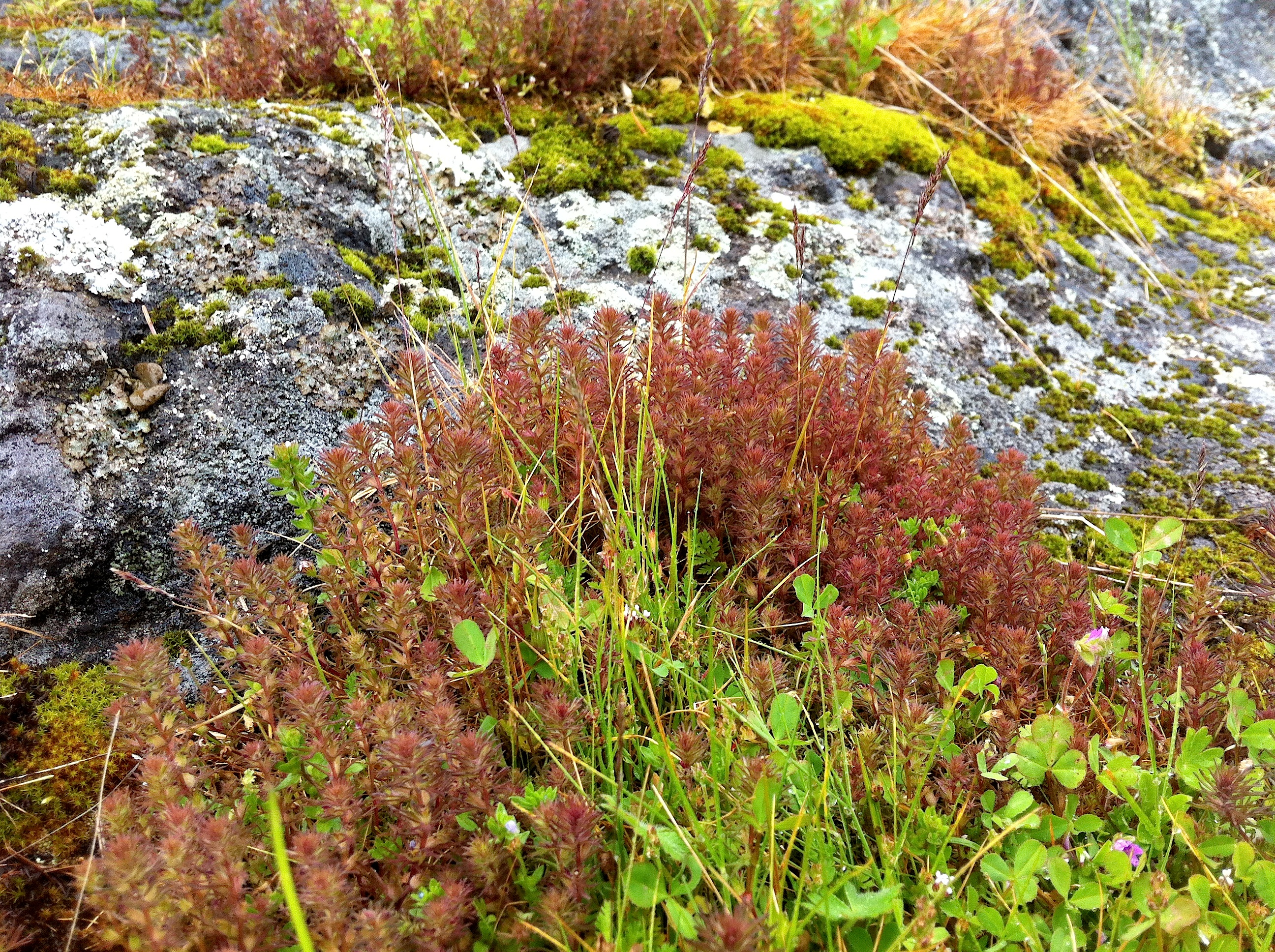
In this rocky exposed area on the East side of Tower Point was also located an interesting small tuft grass with rather large heads which I had not seen before:


Tower Point Subdivision

I went over to Tower Point today to get a better sense of the seafront north of the Tower Point portion of Witty’s lagoon CRD park. It is part of  a subdivision proposal. This is a good example of natural Capital of the Municipality. Public access to this area would be possible by all of the other holders of property in the subdivision, as well as the public. With the pressures from increasing population in the neighbouring communities of Langford and Colwood the value of this area kept as public property would be very high.
2015-04-13 towerpointproperty

The shorefront on the property north of Tower Point which  is subject to a subdivision proposal

From an APRM newsletter:
Parkland Acquisition at Subdivision: Under section 941 of the Local Government ACT, the owner of land being subdivided must provide park land when three or more additional lots are being created and at least one of the parcels is 3 Hs(4.94 acres) or smaller.  The amount of parkland that is required, without compensation, is 5% of the land being proposed for subdivision….where the local govenment has the authority to decides whether it wants 5% deducation or cash-in-lieu, it is up to Council (unless specifically delegated to the Approving Officer) to determine the amount (up to 5%) and location.
…where the OCP has policies and designations for future parks, the local government can decide whether to accept land or cash-oin-lieu  Absent such policies, the landowner decides, with the compensation equal to market value of the entire parcel prior to its subdivision but it has preliminary approval for subdivision…
towerpointmap

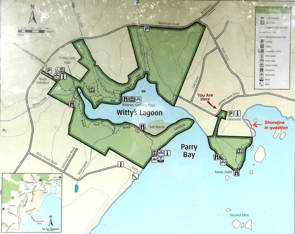
The shoreline location— see red arrow and bracket on the right.

The shorefront here would make a very good addition to the part of Witty’s Lagoon regional park which is locted at Tower Point . Residents of the community made a submission at tonight’s council meeting pointing out the advantages of a park dedication for a strip along the shoreline. It is hoped that the council, when provided with the final version of the application will recommend this park border extension.

I also took some pictures of the wildflowers and features of the shoreline in the park at Tower Point bordering this subdivision. See in the next blog.