Coastal erosion as a sediment source – implications for shoreline management

Puget Sound Feeder Bluffs: Coastal erosion as a sediment source and its implications for shoreline management Shipman et al 2014 .
See the PDF: pugetsoundhardening1406016

feederbluffreport

This report examines the role of eroding bluffs as a source of sediment for Puget Sound beaches and includes a review of related geology and coastal processes. It summarizes recent mapping of feeder bluffs and examines ways in which this information can be used to improve shoreline management.

This report is one part of a larger project on Puget Sound feeder bluffs that also includes maps and a series of web pages that cover much of the material in this report. The project was funded by EPA and the WA Department of Fish and Wildlife. Hugh Shipman and colleagues  published this  important report on feeder bluffs processes and management. Coastal Watershed Index of Port Angeles has been working on the complex and critical topic of feeder bluff management for over a decade. One of their biggest challenges is imparting the critical and unique elements of feeder bluff function and management (including the reality that there are no ‘soft armoring’ techniques appropriate for this land form ). This report provides scientific and management focus specifically to feeder bluffs of the Salish Sea- it’s long overdue.


feederbluffmaps


Part 2 is of the maps of feeder bluffs of Puget sound:


Accessed Nov 4, 2014 at :
https://fortress.wa.gov/ecy/publications/SummaryPages
Maps:
https://fortress.wa.gov/ecy/publications/publications/1406016part2.pdf/1406016.html.

See More on Feeder Bluff mapping:


Publication: Protecting Your Communities Coastal Assets

Local Leadership in marine planning: Local governments on B.C.’s Coast have the power to protect the ecosystems we depend on.

This report describes easily accessible resources local governments can use to maintain aquatic Ecosystem Value and Productivity, including maps and tools to guide decisions and bylaws regarding management of activities on land , and in intertidal and sub-tidal zones.

protectingassetsicon


Download .pdf from this website

or

Originally available here:
powerinhands

Red-breasted merganser : Mergus serrator

red-br-merganserfemsale

Red-breasted merganser female (Mergus serrator)

red-breastedmergfemal3

Female red-breasted merganser popping up to the surface after a dive . G. Fletcher photos

redbrmerg2

Kingdom: Animalia
Phylum: Chordata
Class: Aves
Order: Anseriformes
Family: Anatidae
Subfamily: Merginae
Genus: Mergus
Species: M. serrator
Common name : Red-breasted Merganser

Mergansers nest in the fresh-water lakes of the north and then migrate to the Pacific Coastal waters where they feed on small forage fish in the winter. In the past  few weeks a large flock of female red-breasted and possibly mixed common mergansers has been working the waters off Taylor Beach.

They may be joined by males in the spring.

Taylor Beach and November sun.

The skies are clear this week with out-flow winds from the northeast clearing the view of Mount Baker and the Olympic Mountains. With this comes colder temperatures and a few degrees of frost at night. Rains are expected to return next week.

2014-11-12taylorviewnorth

View North to Victoria, with Mount Baker (in Northern Washington State)  in the distance .

2014-11-12-taylorbeachsun

Mid-afternoon view south to William Head and the Olympic Mts. in the background.

2014-11-11 tankers

View East over Taylor Beach where the tanker and container ship traffic looms precariously.


Octopus (Enteroctopus dofleini) on Taylor Beach

2014-11-14octopus1

The remains of an Octopus on Taylor Beach

Not a great picture but the remains of evidence that offshore of Taylor Beach, the giant pacific octopus goes through its life cycle, which is very short.. just a few years.

rmoctopus3See the entry on the Race Rocks website for the octopus

Domain: Eukarya
Kingdom: Animalia
Phylum: Mollusca
Class: Cephalopoda
Order: Octopoda
Suborder: Incirrata
Family: Octopodidae
Genus: Enteroctopus
Species: dofleini (Hochberg, 1998)
Common Name Giant Pacific Octopus

Liparidae ( snail fish) today on Taylor Beach

My dog led me to this very unusual fish washed up on the shore today, Nov. 12 -2014.  There was a brisk cold wind blowing from the North east, with a two-foot chop.

I am posting it here to try to get it identified.
Possibilities here on Fishbase

blacksuckerfishventralm

Note sucker on ventral side

blackfishfrontallm

very small eyes indicating it may be an abyssal species.

blackfishlateralm2014-11-12

lateral view of unidentified fish species G. Fletcher photos

blackfishspanm

Length 24 cm.

blackfishlateral2m

Family Liparidae


blacksuckerfishventralm

Liparidae ventral view

A good suggestion has been made by Rick Harbo that it is a snail fish (Liparidae)
From Fishbase:

Deep fin  Classification :Osteichthyes | Actinopterygii | Actinopteri | Neopterygii | Teleostei | Osteoglossocephalai | Clupeocephala | Euteleosteomorpha | Neoteleostei | Eurypterygia | Ctenosquamata | Acanthomorphata | Euacanthomorphacea | Percomorphaceae | Percomorpharia | Perciformes | Cottoidei | Liparidae

Also From Fishbase:
“Liparidae – (Snailfishes)
Distribution: Arctic to Antarctic, Atlantic, and Pacific. Body elongate, scaleless (small prickles in some) and skin jellylike; dorsal fin (28-82 soft rays) and anal fin (24-76 soft rays) long, confluent, or nearly so with caudal fin; pelvic fin (disc) absent in species of Paraliparis and in the monotypic Nectoliparis; nostrils single or paired (usually in Liparis); vertebrae 38-86. Maximum length about 50 cm. Occur from tidepools to depths of over 7,000 m.”

Below: I took this image in late November of a red-breasted merganser female eating what may be one of these fish. I am not sure if she actually got it down whole!

mergandfish

The Hooded nudibranch: Melibe leonina

Laura Verhegge has posted this note about Melibe leonina, seen today in Pedder Bay  on the Pearson College Marine Science website

A multitude of Melibe drift to the Pearson College dock

melibe

Melibe the hooded nudibranch photo by Laura Verhegge

melibe3

Melibe leonina photos on Race Rocks Taxonomy by Ryan Murphy


(see other images and a video of the movement on her website)


Ryan Murphy got these images for the  Race Rocks Taxonomy.


Domain: Eukarya
Kingdom: Animalia
Phylum: Mollusca
Class: Gastropoda
Subclass: Opisthobranchia
Order: Nudibranchia
Superfamily: Tritoniodea
Family: Tethydidae
Genus: Melibe
Species: leonina Gould, 1852
Common Name: Hooded Nudibranch

Seabirds abundant on Taylor Beach today

I had thought that the Mergansers which started showing up on Taylor Beach this past week were Common Merganser females. Now I am not so sure, as most of them lok more like Red-breasted merganser females . Click for enlargement.

merganser females

Group of female Mergansers off the north end of Taylor Beach

merganserfemaleclose

Zoomed in view of mergansers- possibly a mix of mainly red-breasted merganser females and common merganser females..

flyingcorm

Flying merganser females

flyingmergansersclose

Flying merganser females closer–

buffleheads

Buffleheads in large flocks of up to 100 individuals

buffleandcorm

Flying Buffleheads go past Double -crested Cormorants

shipand cormorants

Double-crested Cormorants with an ocean-going vessel in the background. If all projects for the Pacific North-west go ahead as planned, over 1000 more ships of this size above the high number already using this waterway, will be transiting these waters each year, all carrying bunker and diesel fuel and if Kinder Morgan has its way 350 a year carrying highly toxic dilbit. Click on the oil-spill risk category link below.

See the Census Page on the seabirds showing up in the last few weeks.

References on Oil Spill Risk

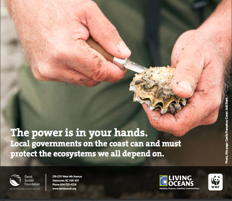
A search of oil spill risk and response shows some very useful references from the State of Washington. The PUGET SOUND PARTNERSHIP has produced an excellent study

http://www.psp.wa.gov/ FINAL REPORT: VTRA 2010

EXECUTIVE SUMMARY

Vessels transiting the Salish Sea traverse waters bordering numerous communities en route to ports in both the US and Canada. The Salish Sea is a large (over 1000 square miles) and diverse water body physically characterized by passages that are broad and deep, as well as narrow ones that are navigationally challenging with swift currents. In addition, it is a biologically rich ecosystem with significant natural resources these communities depend upon.

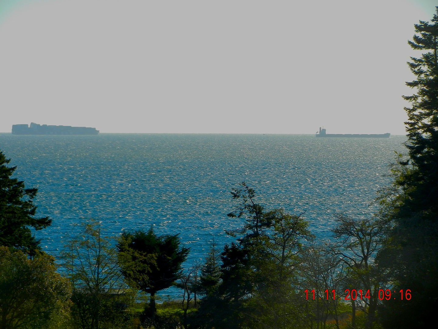
The Strait of Juan de Fuca serves as the entrance to these U.S. and Canadian ports and facilities and is transited by approximately 10,000 deep draft vessels annually including arrivals and departures. Additional transits occur internally as vessels shift locations. There are also tug and barge movements, ferry operations, fishing and recreational vessels throughout. For example, the U.S. Coast Guard Vessel Traffic Service (VTS) alone handles approximately 230,000 transits annually with about 170,000 of those being Washington State Ferries meaning there are more than 50,000 transits other than ferries. The Puget Sound Pilots report nearly 8,000 assignments annually which provide a good metric for how many deep draft vessel movements there are on the U.S. Side. ———–

While a previous GW/VCU analysis [2] of this area demonstrated significant risk reduction of oil transportation risk due to existing risk mitigation measures, the potential for large oil spills continues to be a prominent public concern heightened by proposed maritime terminal developments. In this study we focus on the following three (although other ones are under consideration) since these three are in advanced stages of a permitting process:

(1)The proposed Gateway bulk carrier terminal at Cherry Point, Washington.

(2)The Trans-Mountain/Kinder Morgan pipeline expansion in Vancouver, BC.

(3)The coal, grain and container terminal expansions at Delta Port, BC.

The purpose of this vessel traffic risk assessment (VTRA) is to evaluate potential changes in risk in light of above three maritime terminal developments and to inform the State of Washington, the United States Coast Guard and the Puget Sound Harbor Safety Committee on what actions could be taken to mitigate potential increases in oil spill risk from large commercial vessel in the VTRA study area. This study was not designed to measure the effectiveness of risk mitigation measures already in place. This study is also intended to inform tribes,local governments, industry and non-profit groups in Washington State and British Columbia on potential risk management options.

Summarizing, this study was conducted because study sponsors and involved stakeholders want to ensure potential risks of maritime development projects above are better understood so informed decisions could be made about additional risk mitigation measures that would add to the continuous improvement efforts of the past.

See the comlete pdf:http://www.psp.wa.gov/ FINAL REPORT: VTRA 2010